Elevation of Sardine Peak, California, USA
Location: United States > California > Sierra County >
Longitude: -120.18853
Latitude: 39.540184
Elevation: 2469m / 8100feet
Barometric Pressure: 75KPa
Elevation Map:
Satellite Map:
Related Photos:
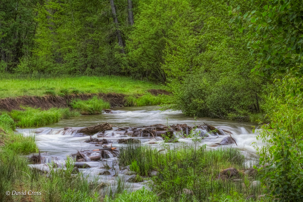
Late Spring on Cold Creek

Great Trout Water

Sardine Lookout

Kyburz Flat
Headwaters of the The Little Truckee River

Crystal Mine View
2/52: The Hourless Forest.

Fall In The Sierras 8618
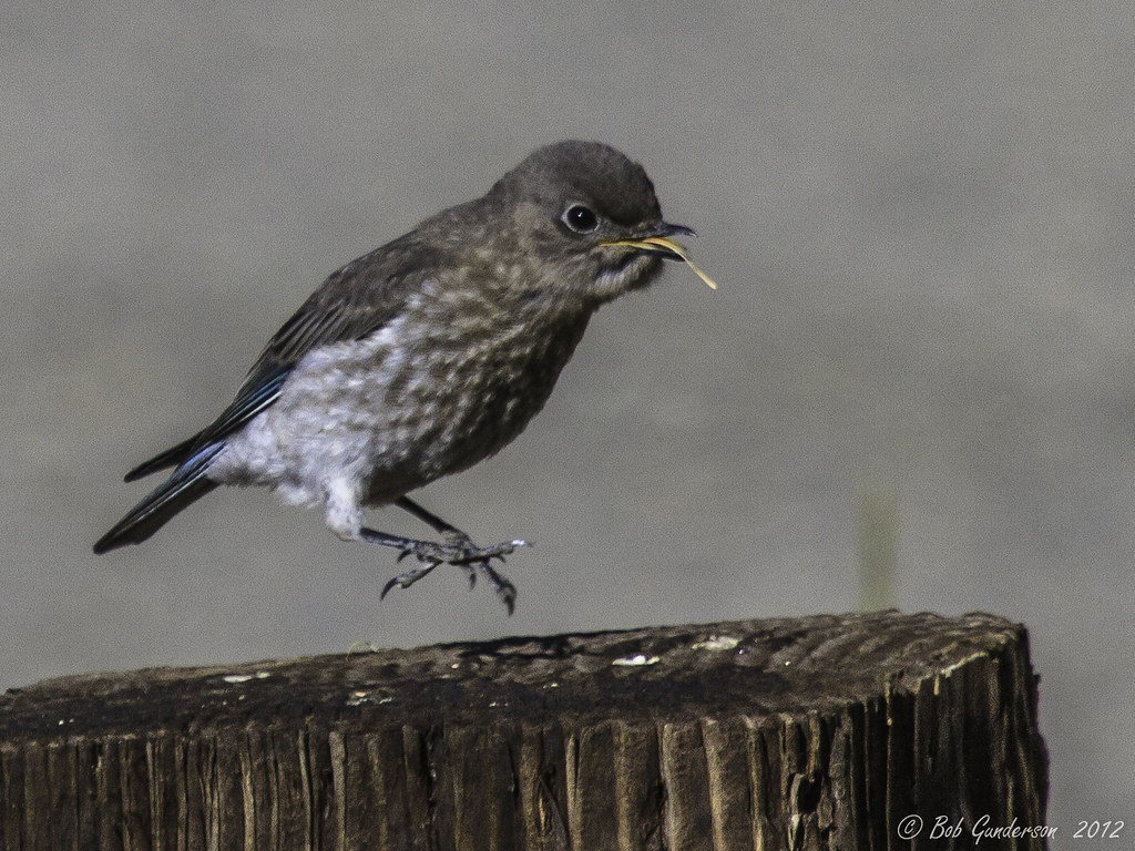
Mountain Bluebird Juvenile - Multiple Views
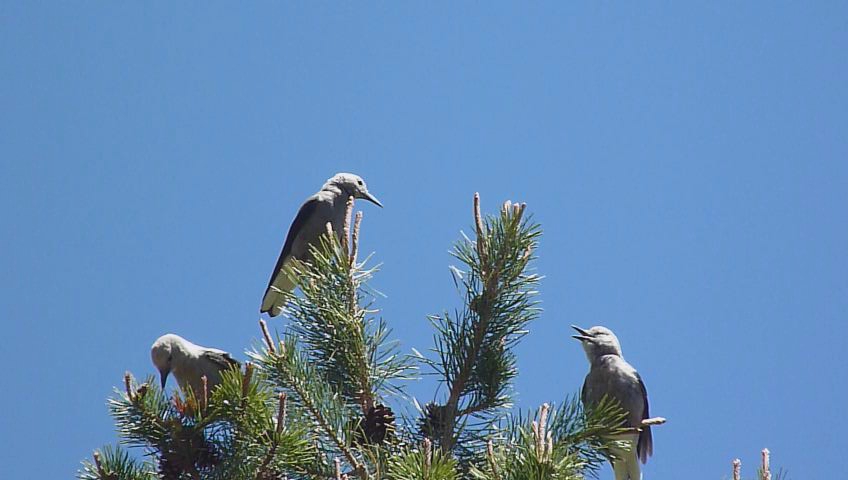
Nucifraga columbiana

view from Sierra Hot Springs

View From Bocca Springs Rd

My Eclipse-Watching Campsite at Boca

front porch view
Road Up To The Cabin

Winter Along the River
Springtime in the Sierras
Dark Forests
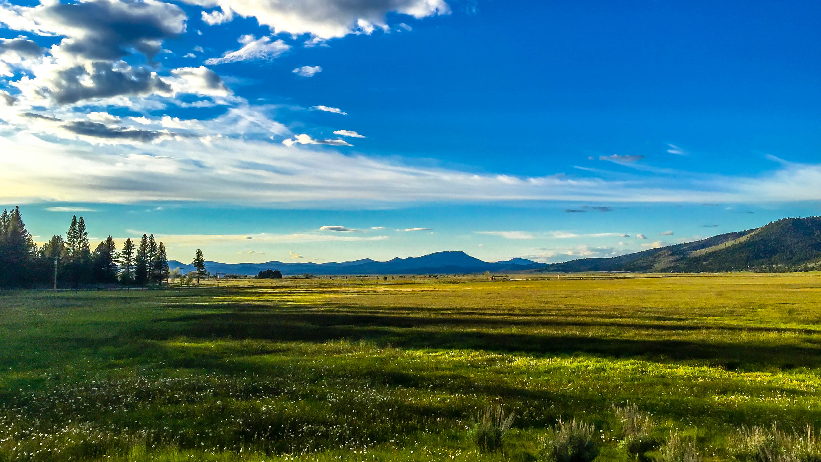
Sierraville Valley

Cold and Clean
North Fork of the Truckee River.......... Explored May2
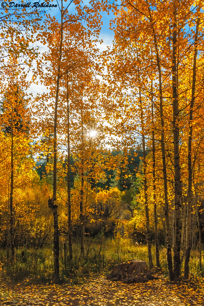
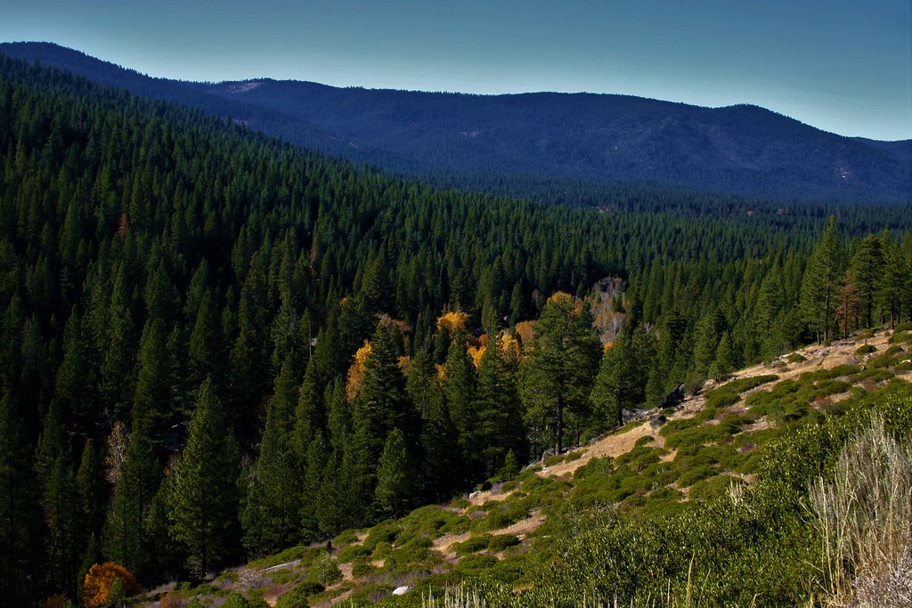
Autumn Color of the Northern Sierra Nevada Mountains
Tahoe National Forest

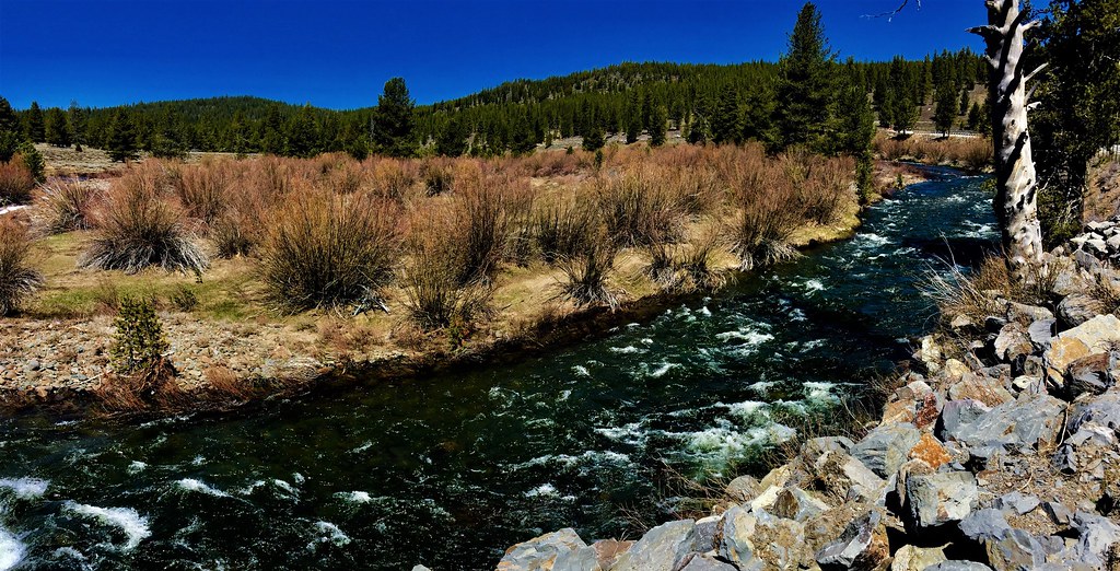
Cold Creek

Little Truckee Monochrome
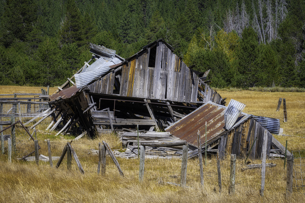
Delapidated Barn
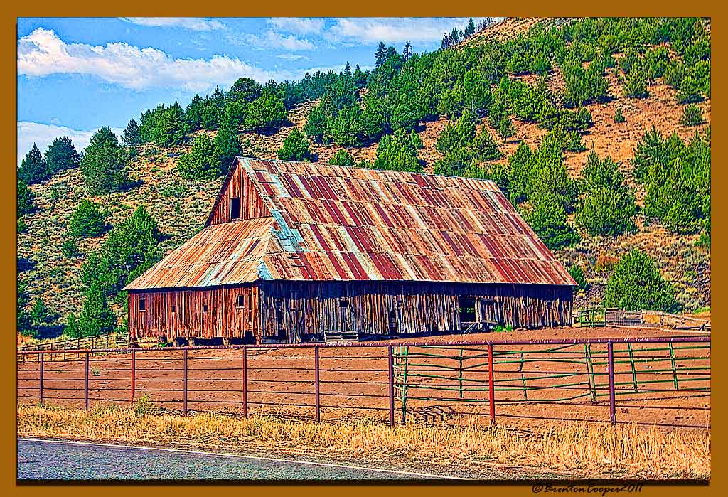
Barn Near Sierraville # 4

Normally Dry

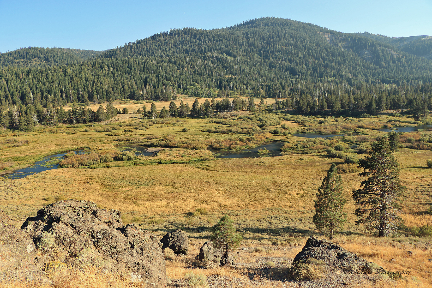
High Sierra Meadow

Headwaters of the Truckee

North Fork of the Truckee

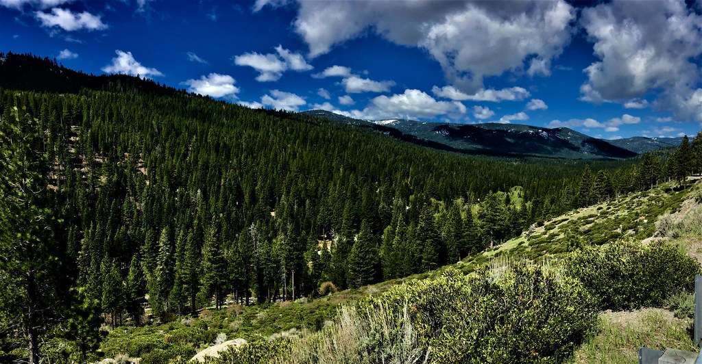
Sierra High Country

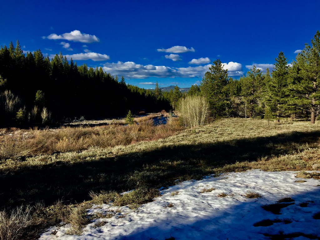
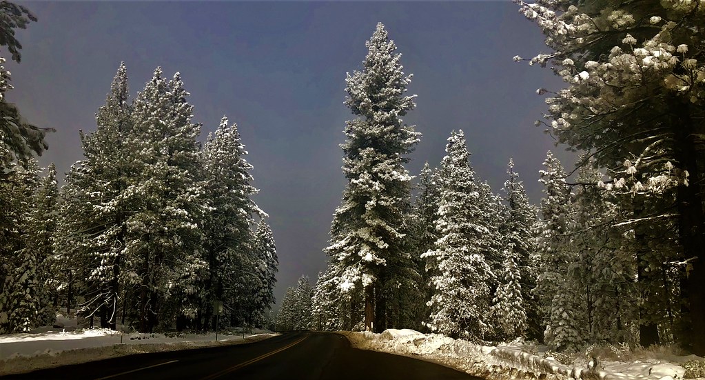
Snow in the Sierras
Topographic Map of Sardine Peak, California, USA
Find elevation by address:

Places near Sardine Peak, California, USA:
16356 Greenlee
Greenlee
Old Hwy 89, Truckee, CA, USA
1005 Sunrise Creek Rd
1005 Sunrise Creek Rd
Verdi Peak
930 Sunrise Creek Rd
Dog Creek Ln, Verdi, CA, USA
Stampede Meadows Rd, Truckee, CA, USA
1090 Arbor Ln
630 Hill Ln
375 Tenaya Ln
50 Trelease Ln
Verdi
65 Waterbuck Way
Summerset Drive
Floriston
Hinton Rd, Truckee, CA, USA
1921 Evergreen Ridge Way
9395 Hidden Park Dr
Recent Searches:
- Elevation of Corso Fratelli Cairoli, 35, Macerata MC, Italy
- Elevation of Tallevast Rd, Sarasota, FL, USA
- Elevation of 4th St E, Sonoma, CA, USA
- Elevation of Black Hollow Rd, Pennsdale, PA, USA
- Elevation of Oakland Ave, Williamsport, PA, USA
- Elevation of Pedrógão Grande, Portugal
- Elevation of Klee Dr, Martinsburg, WV, USA
- Elevation of Via Roma, Pieranica CR, Italy
- Elevation of Tavkvetili Mountain, Georgia
- Elevation of Hartfords Bluff Cir, Mt Pleasant, SC, USA