Elevation of Sar-i-Ab, Mastung, Balochistan, Pakistan
Location: Pakistan > Balochistan > Mastung > Mastung >
Longitude: 66.7508777
Latitude: 29.6815667
Elevation: 1725m / 5659feet
Barometric Pressure: 82KPa
Elevation Map:
Satellite Map:
Related Photos:
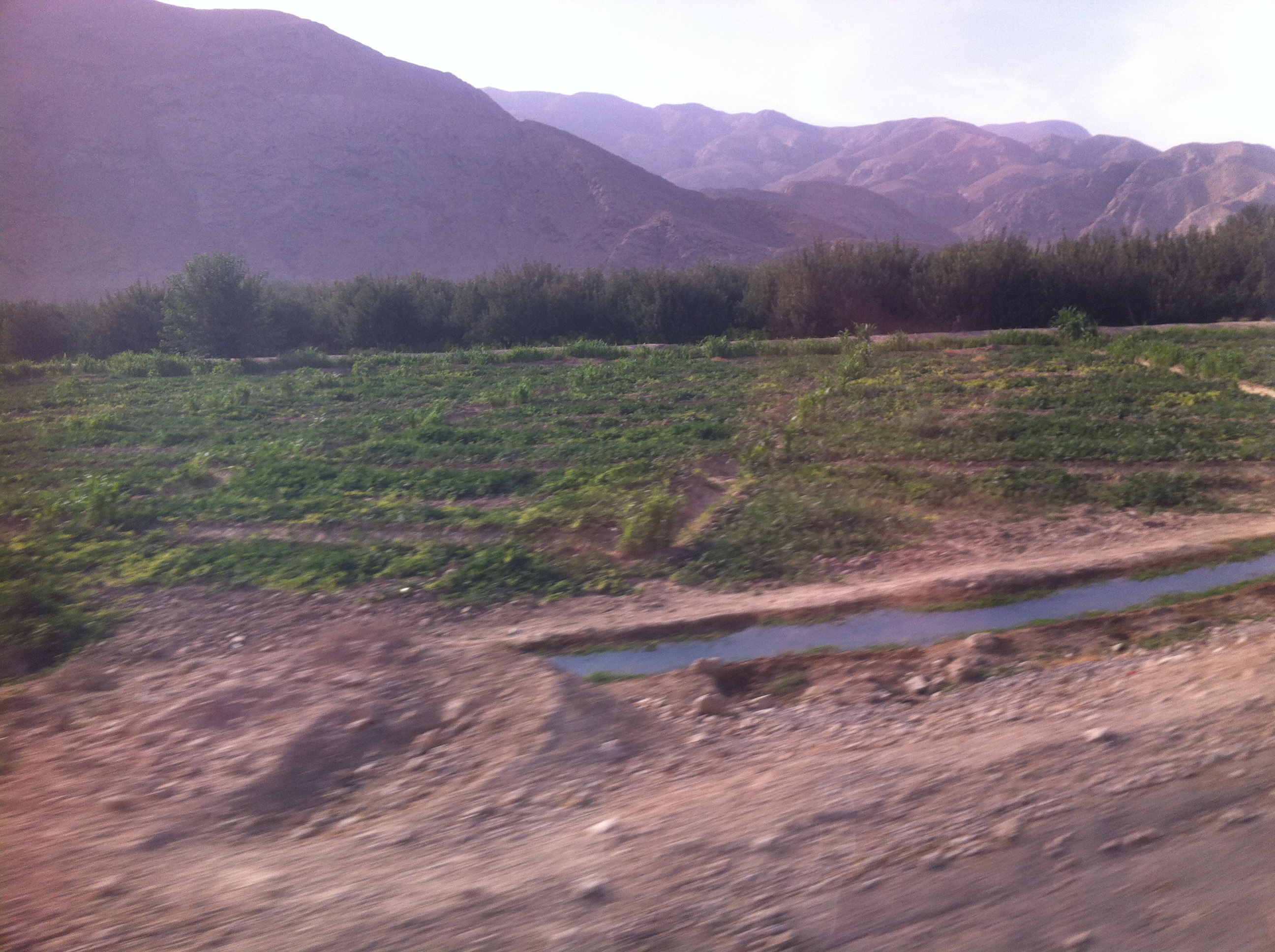
IMG_7822

01768
Topographic Map of Sar-i-Ab, Mastung, Balochistan, Pakistan
Find elevation by address:

Places near Sar-i-Ab, Mastung, Balochistan, Pakistan:
Mastung
Mastung
Kanak
Dasht (mastung)
Kardagap
Spezand Railway Station
Spezand
Galangur
Ajwa Milk Shop And Bakery
Quetta
Ba Mall
Quetta District
Quetta
Quetta City
Dubai Hotel Kuchlak
Kuchlak
Ajwa Hotel Restaurant And Banquet Hall عجوہ ہوٹل ریسٹورنٹ اینڈ بنقوٹ ہال
Yaru Karez
Pishīn
Karezat
Recent Searches:
- Elevation of Corso Fratelli Cairoli, 35, Macerata MC, Italy
- Elevation of Tallevast Rd, Sarasota, FL, USA
- Elevation of 4th St E, Sonoma, CA, USA
- Elevation of Black Hollow Rd, Pennsdale, PA, USA
- Elevation of Oakland Ave, Williamsport, PA, USA
- Elevation of Pedrógão Grande, Portugal
- Elevation of Klee Dr, Martinsburg, WV, USA
- Elevation of Via Roma, Pieranica CR, Italy
- Elevation of Tavkvetili Mountain, Georgia
- Elevation of Hartfords Bluff Cir, Mt Pleasant, SC, USA