Elevation of Sar Agha Seyed Tourism Village, Sar Agha Seyed, Chaharmahal and Bakhtiari Province, Iran
Location: Iran > Isfahan > Sar Agha Seyed >
Longitude: 49.8630459
Latitude: 32.6585678
Elevation: 2041m / 6696feet
Barometric Pressure: 79KPa
Elevation Map:
Satellite Map:
Related Photos:

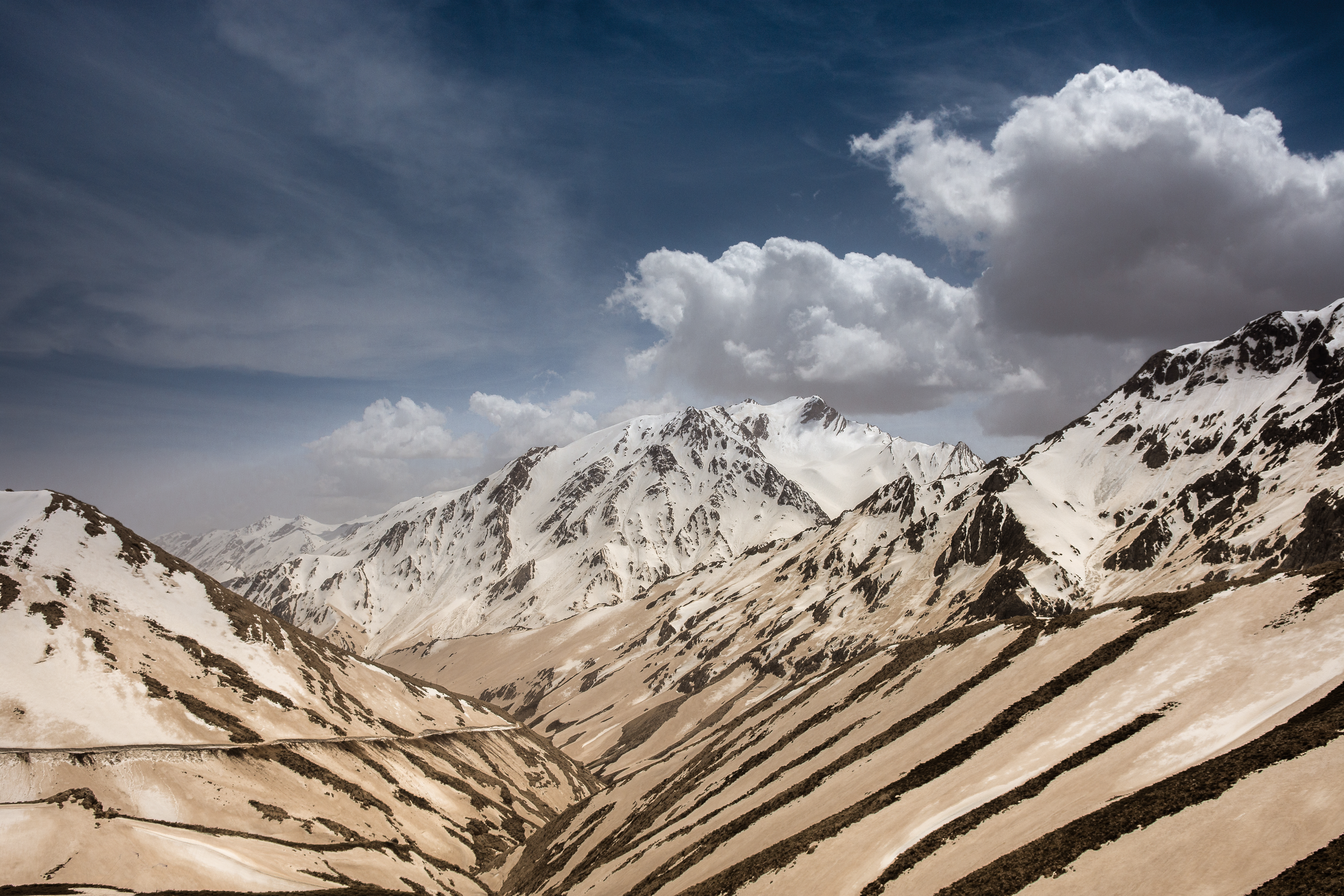
DSC_6500
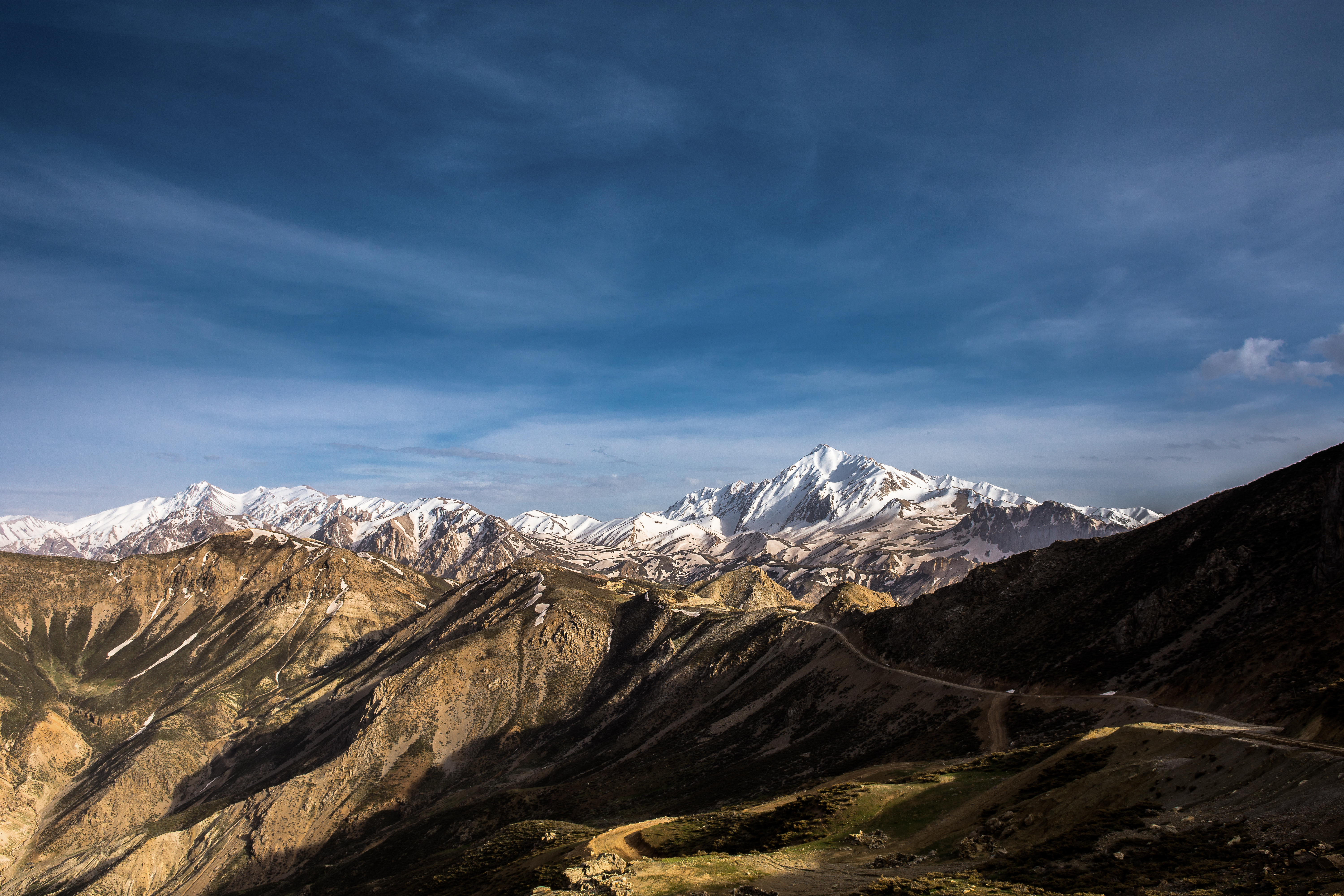
DSC_5728

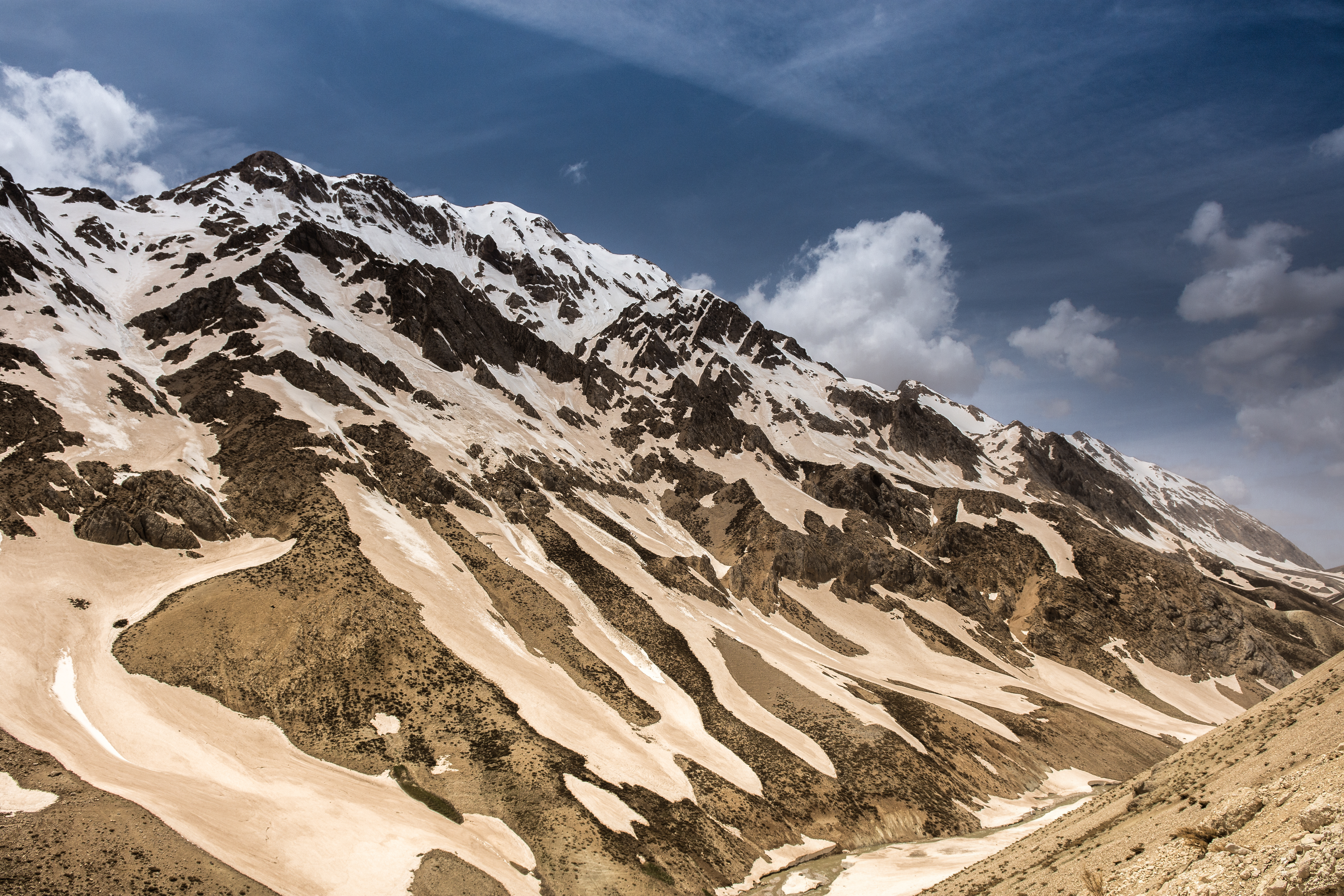
DSC_5998
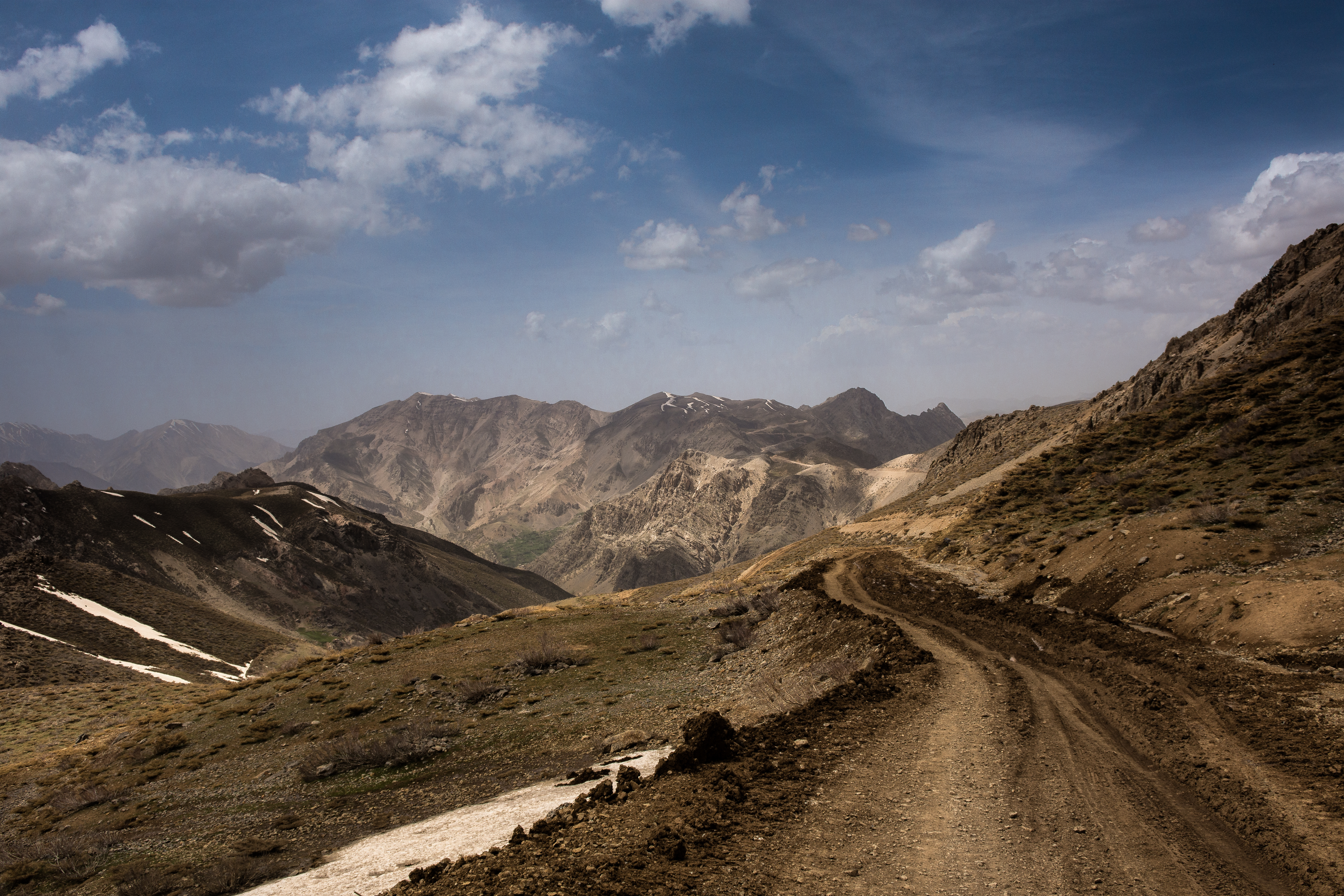
DSC_6307

DSC_5672

DSC_5639
DSC_5637

DSC_5611

DSC_5845

DSC_5622
DSC_5829

DSC_5974

DSC_5810

DSC_5656

DSC_5758

DSC_6285

DSC_6340

DSC_6257

DSC_5928

DSC_5912

DSC_6270
Topographic Map of Sar Agha Seyed Tourism Village, Sar Agha Seyed, Chaharmahal and Bakhtiari Province, Iran
Find elevation by address:

Places near Sar Agha Seyed Tourism Village, Sar Agha Seyed, Chaharmahal and Bakhtiari Province, Iran:
Sar Agha Seyed
Chelgerd
Fereydun Shahr
Abbasi
Fereydun Shahr Road
Barf Anbar
Khameslu
Fereidan
Daran
Chadegan
Aligudarz
Aligudarz
Chadegan
Khansar
Khansar
Azna
Golpayegan
Khomein
Golpayegan County
Recent Searches:
- Elevation of Corso Fratelli Cairoli, 35, Macerata MC, Italy
- Elevation of Tallevast Rd, Sarasota, FL, USA
- Elevation of 4th St E, Sonoma, CA, USA
- Elevation of Black Hollow Rd, Pennsdale, PA, USA
- Elevation of Oakland Ave, Williamsport, PA, USA
- Elevation of Pedrógão Grande, Portugal
- Elevation of Klee Dr, Martinsburg, WV, USA
- Elevation of Via Roma, Pieranica CR, Italy
- Elevation of Tavkvetili Mountain, Georgia
- Elevation of Hartfords Bluff Cir, Mt Pleasant, SC, USA