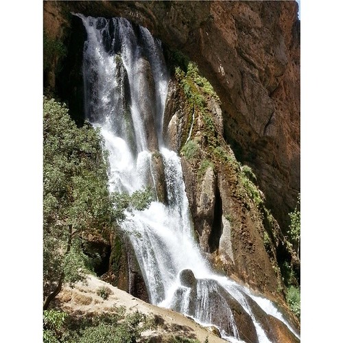
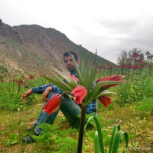
Elevation of Aligudarz, Lorestan Province, Iran
Location: Iran > Lorestan Province > Aligudarz >
Longitude: 49.6962428
Latitude: 33.4049794
Elevation: -10000m / -32808feet
Barometric Pressure: 295KPa
Related Photos:
Topographic Map of Aligudarz, Lorestan Province, Iran
Find elevation by address:

Places near Aligudarz, Lorestan Province, Iran:
Aligudarz
Azna
Khomein
Golpayegan
Fereydun Shahr
Khansar
Khameslu
Fereydun Shahr Road
Barf Anbar
Abbasi
Khansar
Fereidan
Golpayegan County
Sar Agha Seyed
Sar Agha Seyed Tourism Village
Daran
Chelgerd
Chadegan
Chadegan
Recent Searches:
- Elevation of Corso Fratelli Cairoli, 35, Macerata MC, Italy
- Elevation of Tallevast Rd, Sarasota, FL, USA
- Elevation of 4th St E, Sonoma, CA, USA
- Elevation of Black Hollow Rd, Pennsdale, PA, USA
- Elevation of Oakland Ave, Williamsport, PA, USA
- Elevation of Pedrógão Grande, Portugal
- Elevation of Klee Dr, Martinsburg, WV, USA
- Elevation of Via Roma, Pieranica CR, Italy
- Elevation of Tavkvetili Mountain, Georgia
- Elevation of Hartfords Bluff Cir, Mt Pleasant, SC, USA


