Elevation of Saputara, Gujarat, India
Location: India > Gujarat > Dang >
Longitude: 73.7507276
Latitude: 20.5785975
Elevation: 876m / 2874feet
Barometric Pressure: 91KPa
Elevation Map:
Satellite Map:
Related Photos:
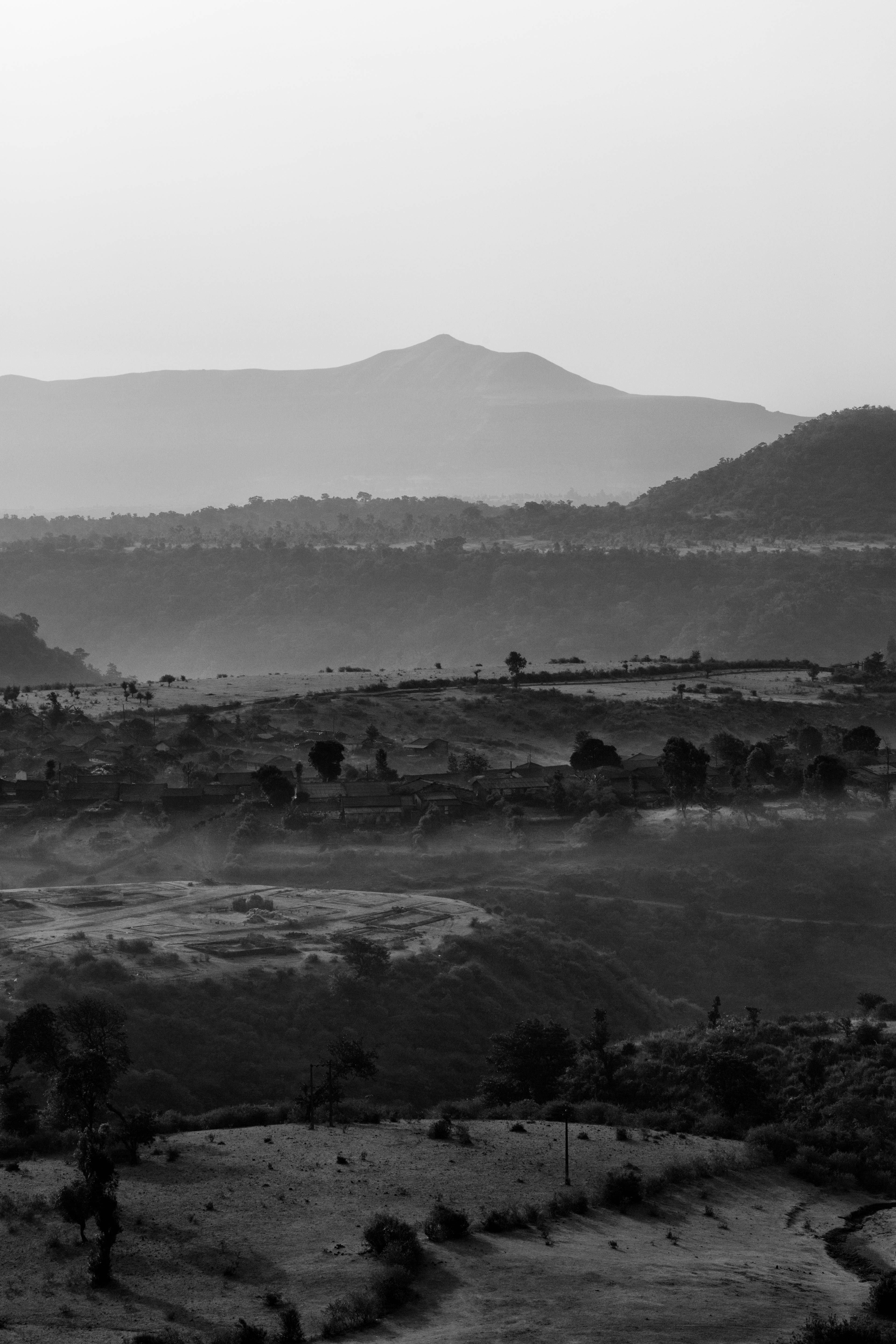
Morning Dew
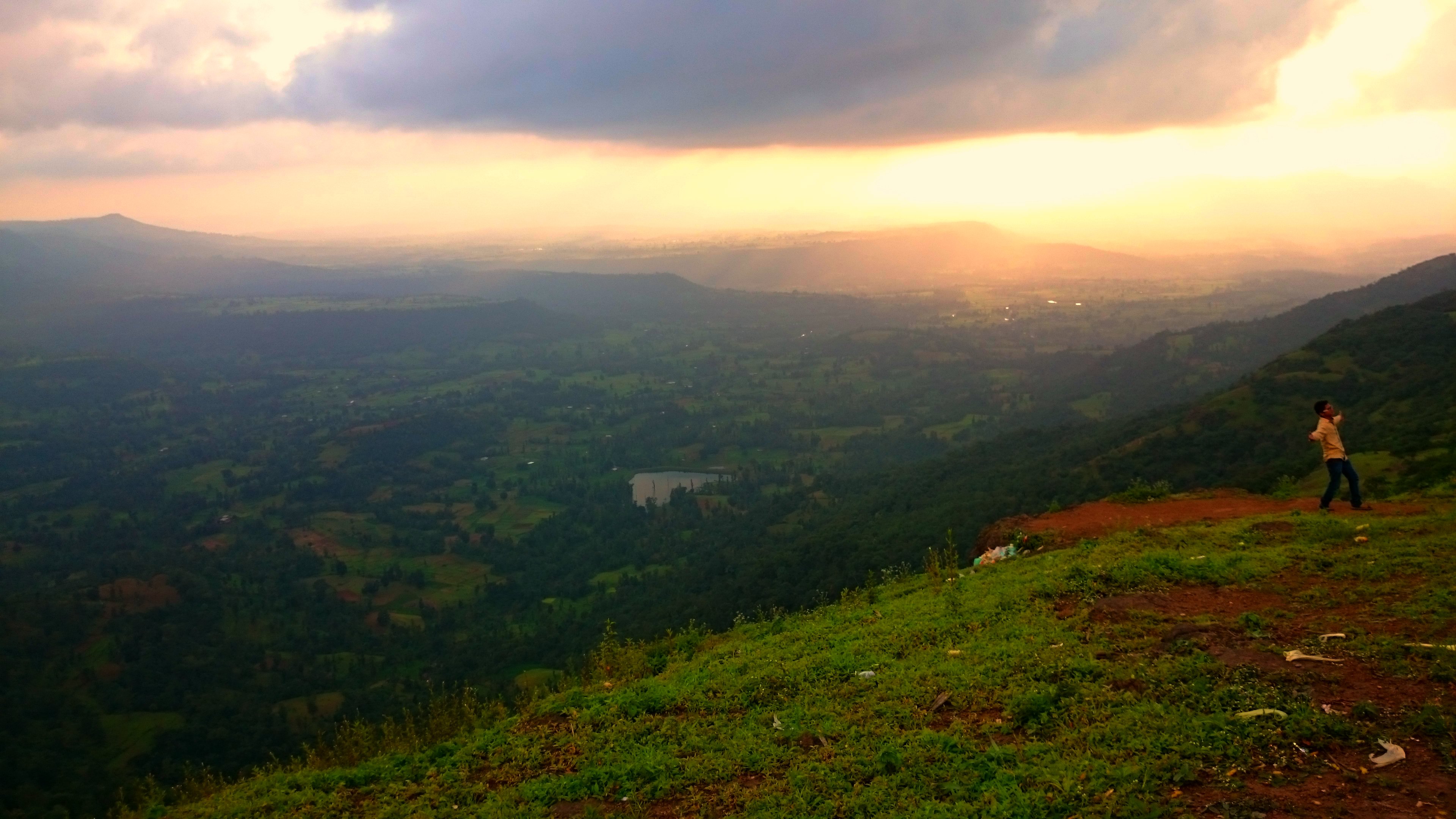
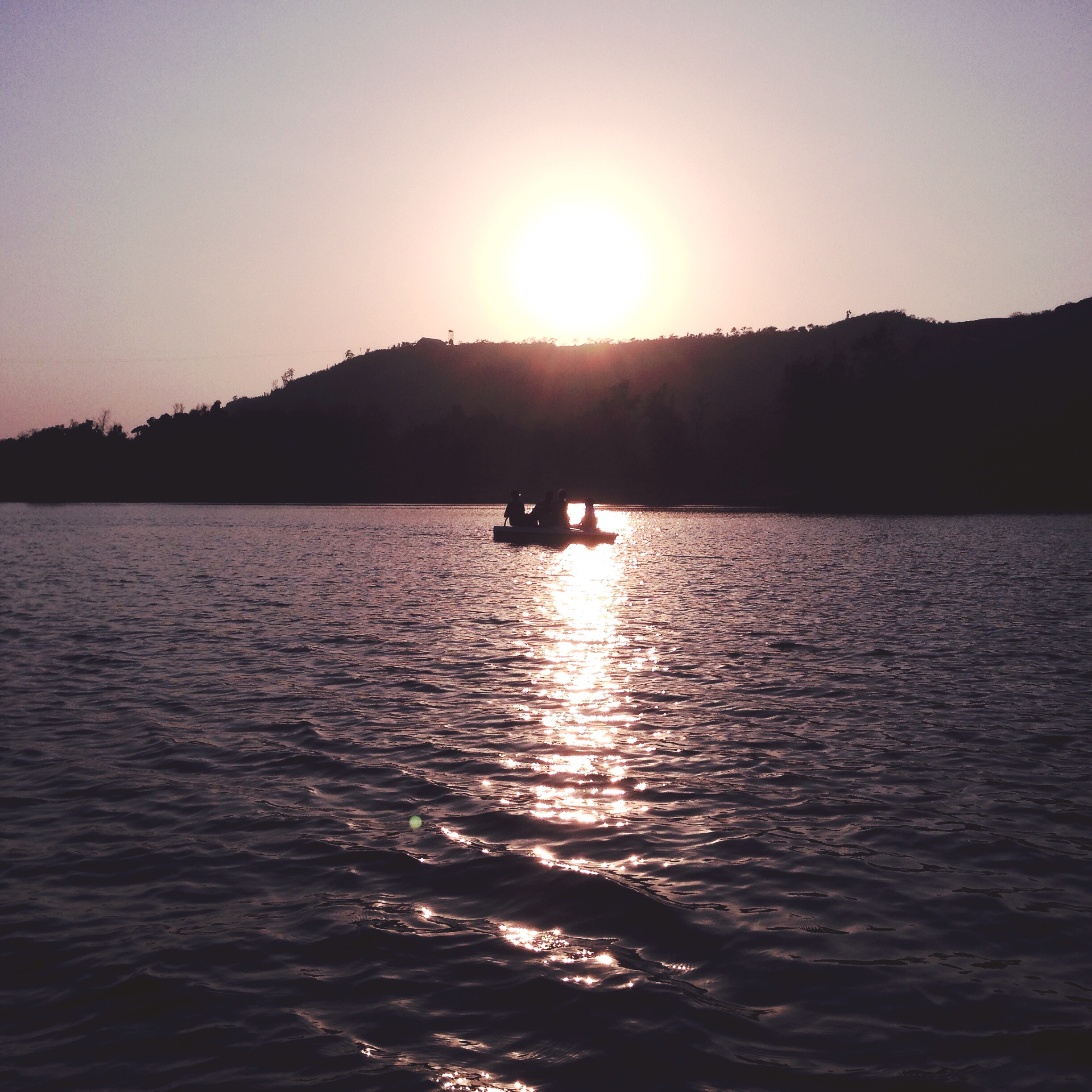
Sunset point at Saputara.
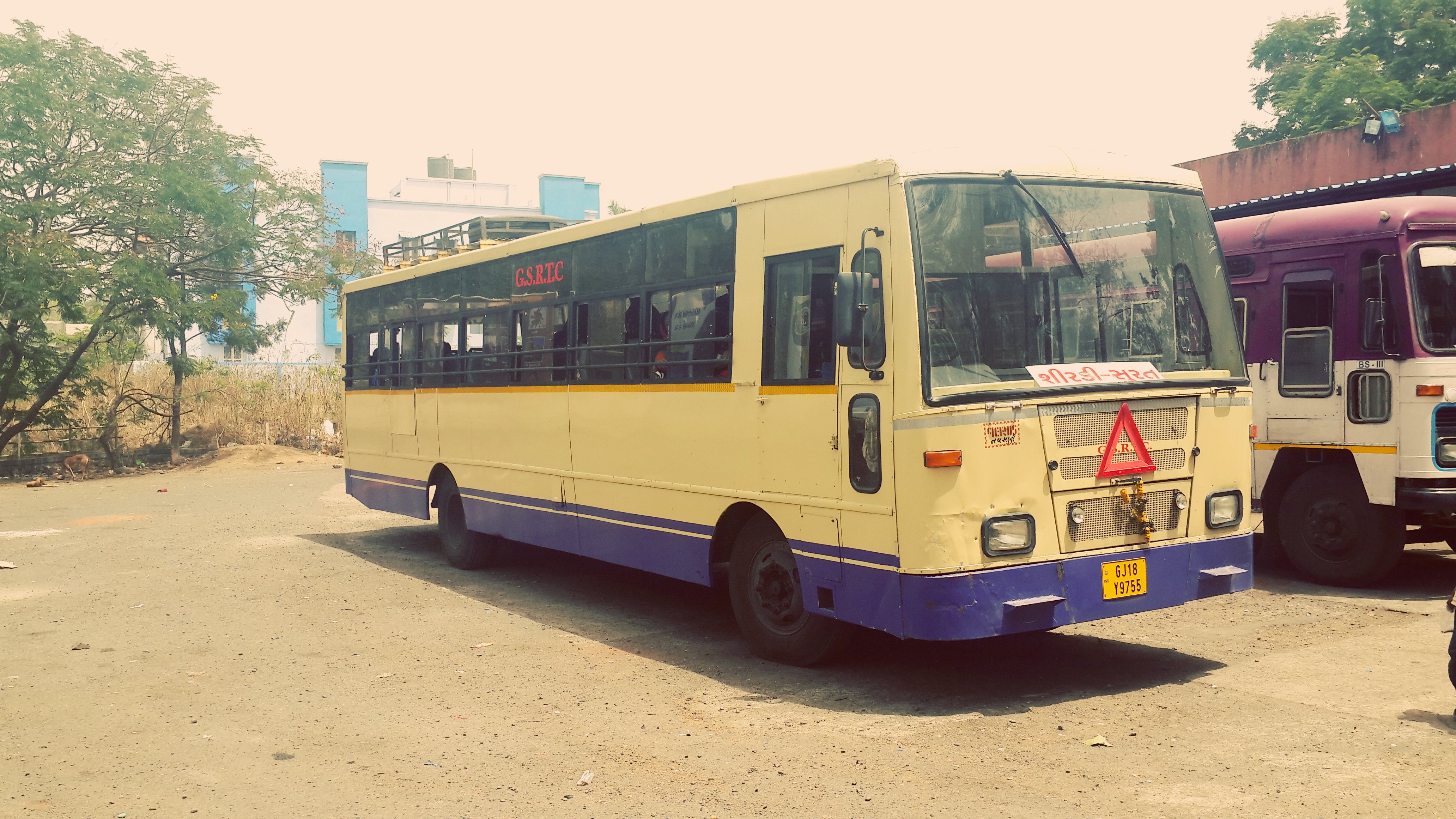
Latest Fleet in GSRTC... New Tata Buses.. Here one is Our Shirdi-Surat bus.. Road No- GJ-18-Y-9755

Pfffff mountains high...
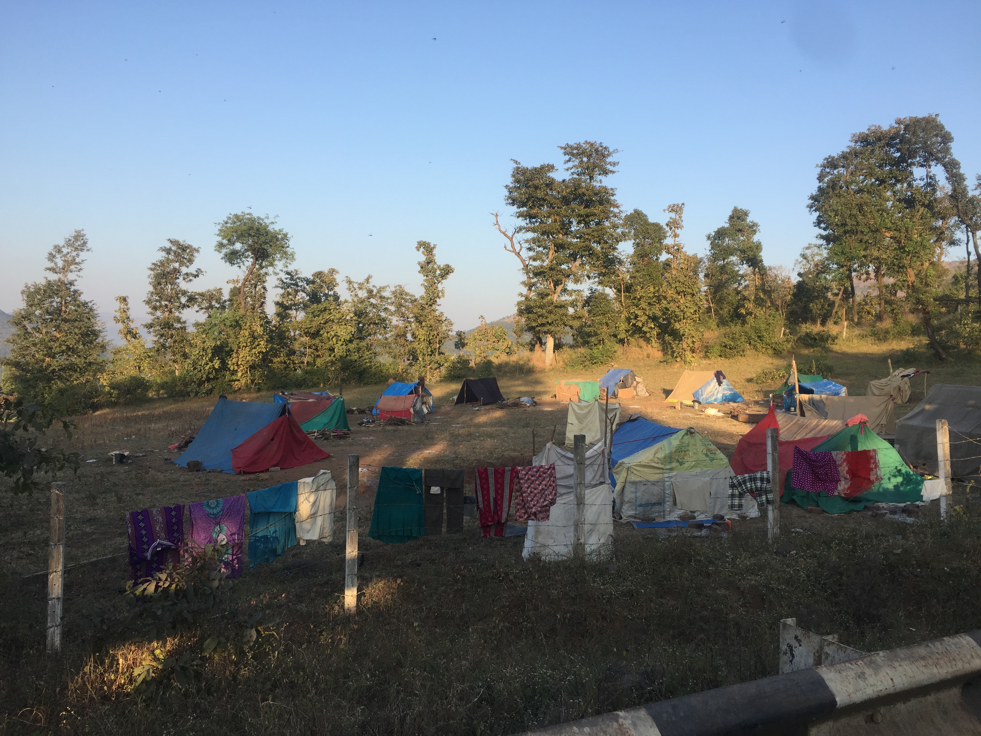
Tent camps everywhere

The Aakar Lords Inn

Uday Hill Resort
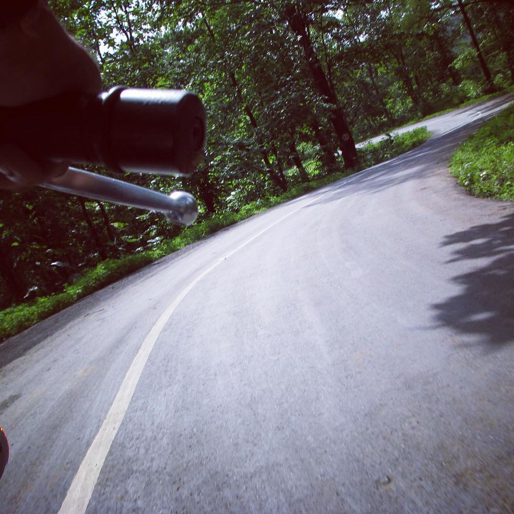
Have a happy weekend! Go out and explore your universe. #bike #biketrip #roadtrip #bullet #royal #enfield #dang #saputara
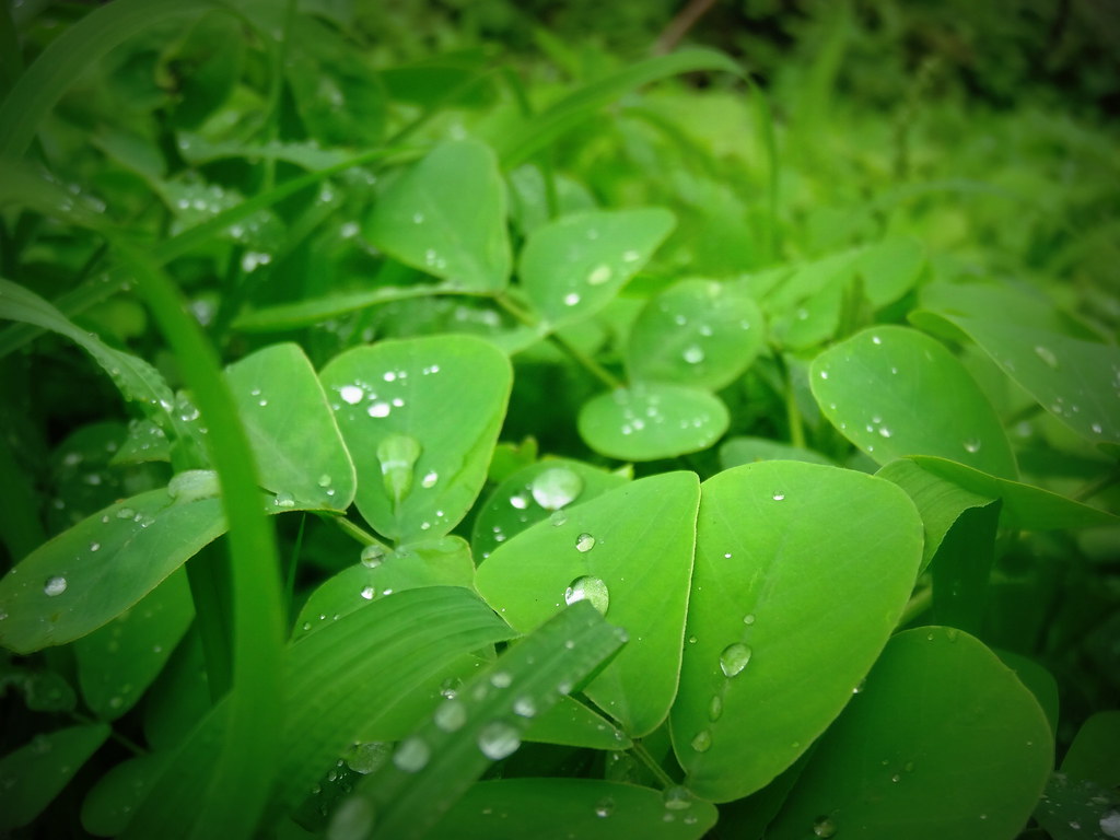
Green drops
Lake boating
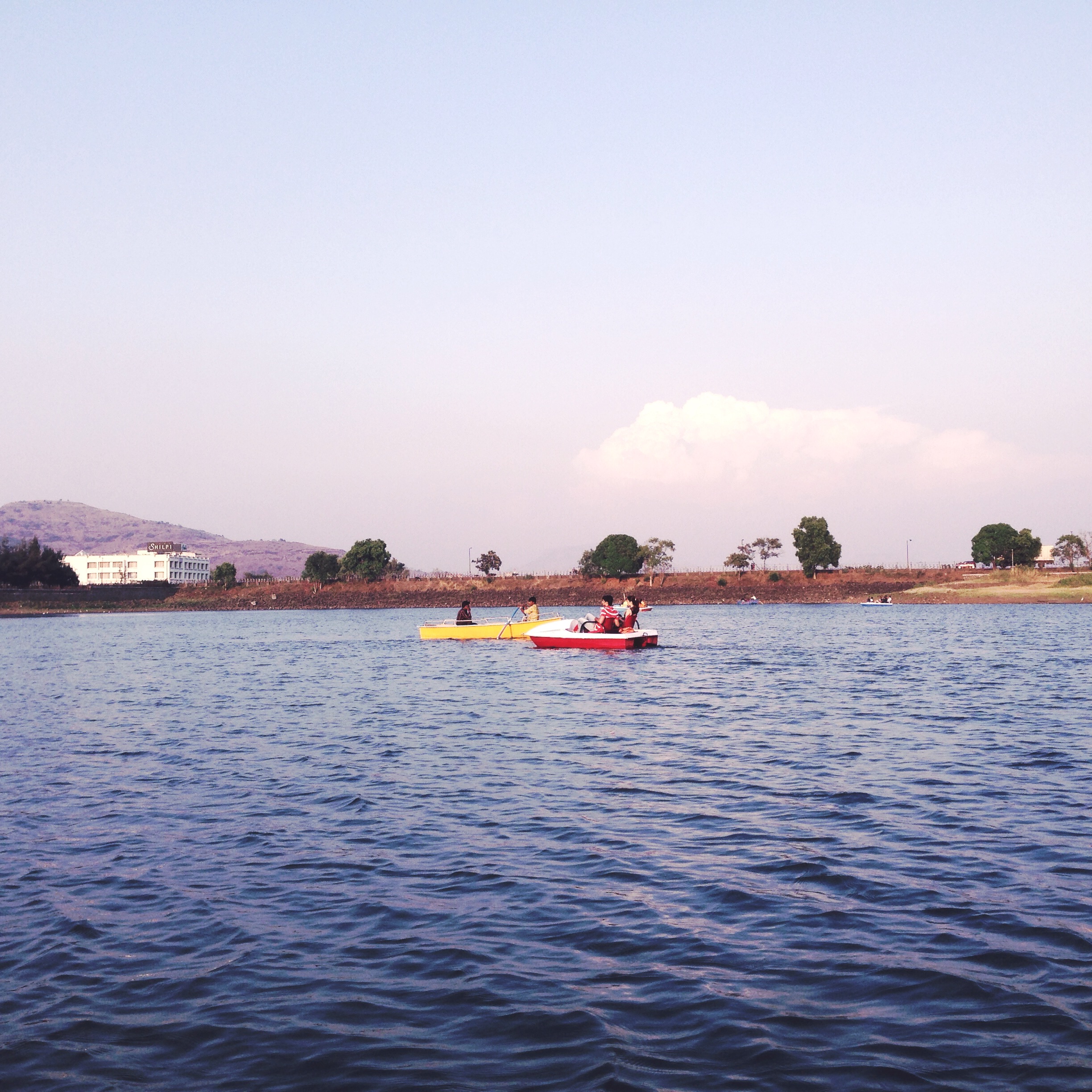
Lake boating

Lake boating
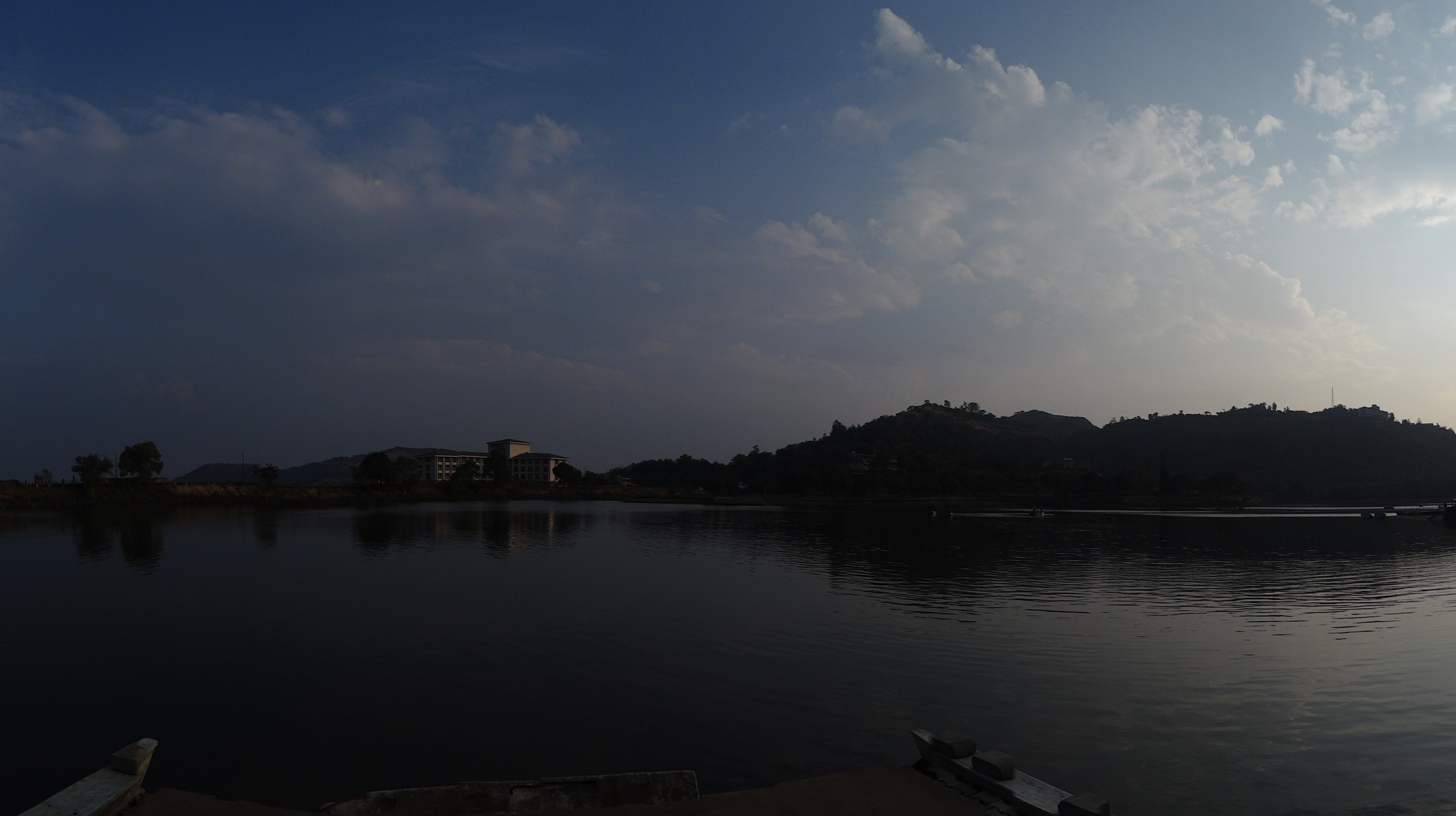
Panorama of the Lakeview
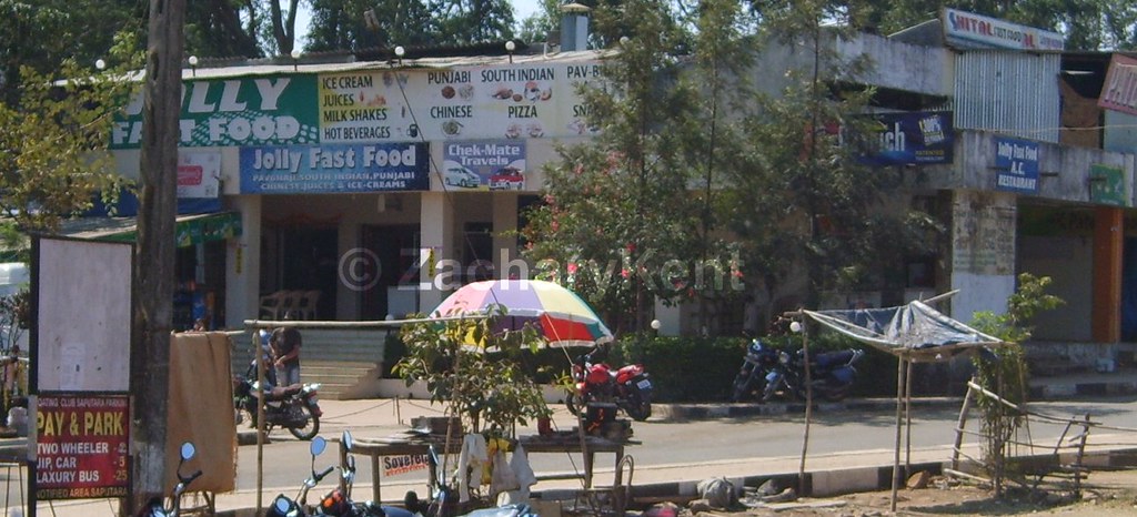
Saputara - Jolly Fast Food
Topographic Map of Saputara, Gujarat, India
Find elevation by address:

Places near Saputara, Gujarat, India:
Saputara Hill Station
Salher
Parshuram Temple
Saptashurngi
Dang
Nanashi
Kalwan
Kadyachamala
Bhawade
Dasane
Dhodap Fort
Dasana Baglan Bus Stop
Haranbari Dam
Vade Digar
Dindori
Deola
Naikwadi
Nashik
Ojhar
Chandwad
Recent Searches:
- Elevation of Corso Fratelli Cairoli, 35, Macerata MC, Italy
- Elevation of Tallevast Rd, Sarasota, FL, USA
- Elevation of 4th St E, Sonoma, CA, USA
- Elevation of Black Hollow Rd, Pennsdale, PA, USA
- Elevation of Oakland Ave, Williamsport, PA, USA
- Elevation of Pedrógão Grande, Portugal
- Elevation of Klee Dr, Martinsburg, WV, USA
- Elevation of Via Roma, Pieranica CR, Italy
- Elevation of Tavkvetili Mountain, Georgia
- Elevation of Hartfords Bluff Cir, Mt Pleasant, SC, USA