Elevation of Nanashi, Maharashtra, India
Location: India > Maharashtra > Nashik >
Longitude: 73.6223726
Latitude: 20.3410113
Elevation: 746m / 2447feet
Barometric Pressure: 93KPa
Elevation Map:
Satellite Map:
Related Photos:
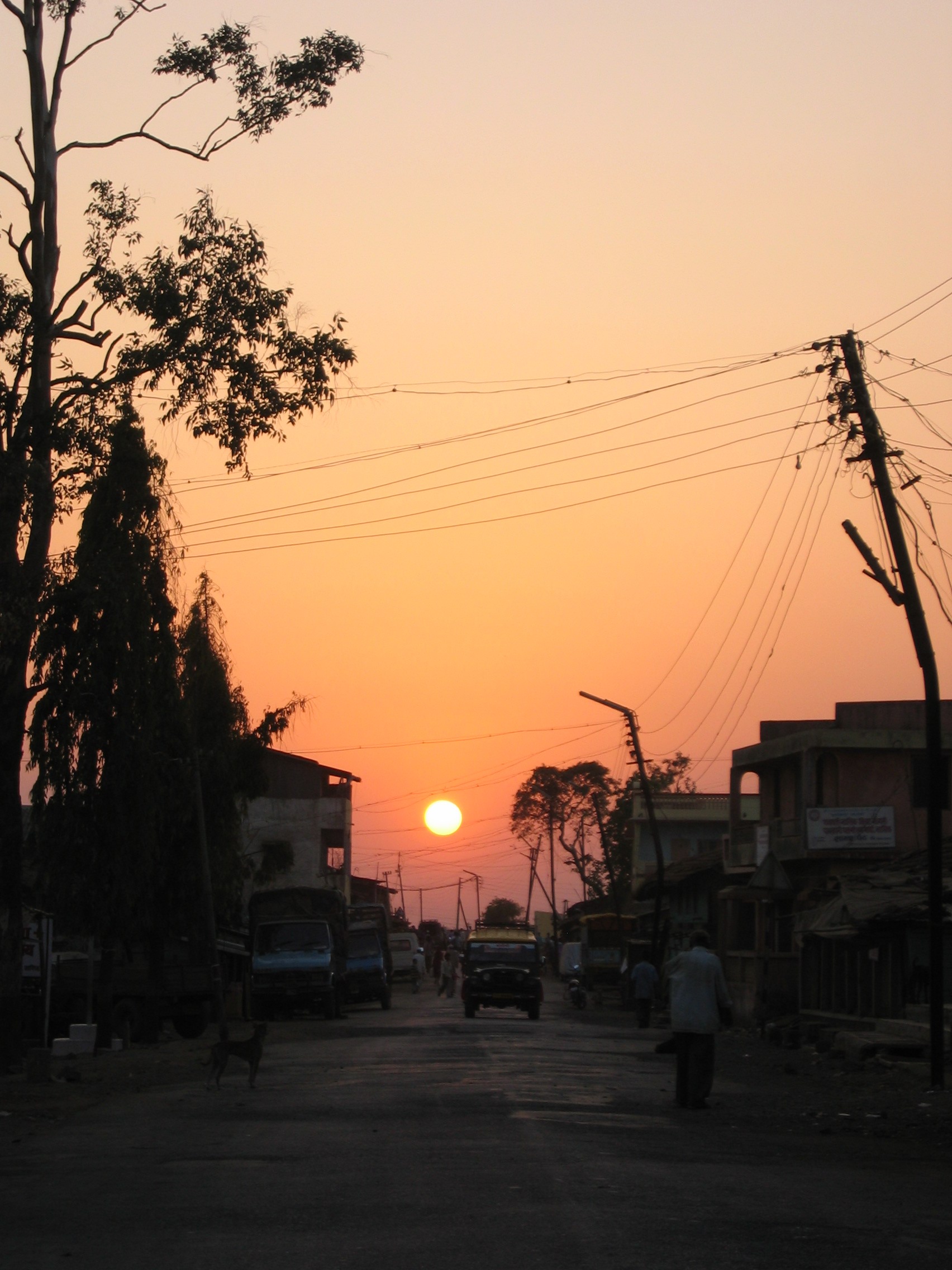
Daman 037
Topographic Map of Nanashi, Maharashtra, India
Find elevation by address:

Places near Nanashi, Maharashtra, India:
Naikwadi
Dindori
Saputara Hill Station
Saputara
Saptashurngi
Asaram Bapu Bridge
154, College Rd
Panchavati
Tidke Nagar
Sundarban Apartment
Nashik
Nanavali
Ojhar
Dhodap Fort
Nehru Nagar
Nehru Nager
Kalwan
Sarul
Nashik
Pimplad Nasik
Recent Searches:
- Elevation of Corso Fratelli Cairoli, 35, Macerata MC, Italy
- Elevation of Tallevast Rd, Sarasota, FL, USA
- Elevation of 4th St E, Sonoma, CA, USA
- Elevation of Black Hollow Rd, Pennsdale, PA, USA
- Elevation of Oakland Ave, Williamsport, PA, USA
- Elevation of Pedrógão Grande, Portugal
- Elevation of Klee Dr, Martinsburg, WV, USA
- Elevation of Via Roma, Pieranica CR, Italy
- Elevation of Tavkvetili Mountain, Georgia
- Elevation of Hartfords Bluff Cir, Mt Pleasant, SC, USA