Elevation of Saping, Nepal
Location: Nepal > Central Region > Bagmati >
Longitude: 85.7410262
Latitude: 27.6545559
Elevation: 1392m / 4567feet
Barometric Pressure: 86KPa
Elevation Map:
Satellite Map:
Related Photos:

Green Himalaya Mountain Sides

Celebrating Buddha's Birth

Lisankhu Children 1973

Green Hill - Nepal

Lisankhu Family 1973

View from Dhulikel

Lisankhu Celebration

Tea room view
Mushroom #lamp in the garden shot bird eye view #latergram #Dhulikhel #instaawese #cool #Nepal

House 20 View Panorma

Mountains are the main reason for my travel

The Shadow @ Nepal

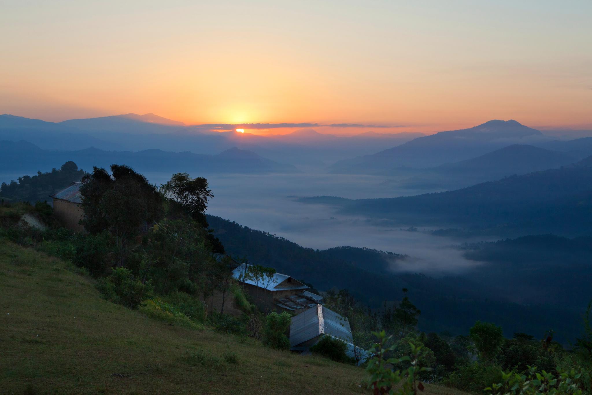
Dhulikhel scenery

Nepal 2010

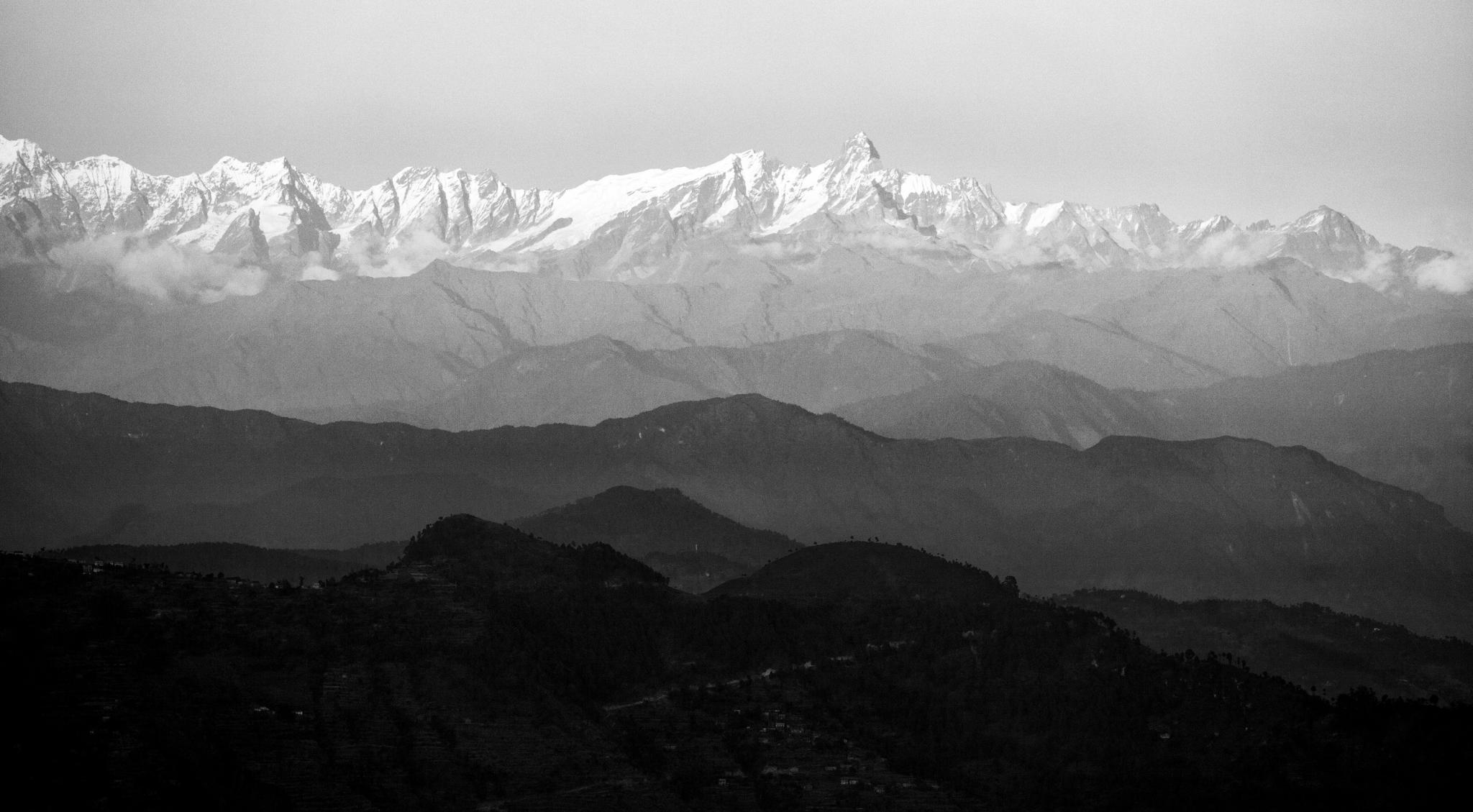
50 Shades of Grey. Nepal 2010.
Nepal 2010

Ink Painting @ Dhulikhel, Nepal
Nepal 2010

希夏邦马峰 / Shisha Pangma(Gosaithan)

Tibet & Nepal

Rice Terraces

Sur la route de Katmandou

around Everest

Araniko Highway

Tibet & Nepal

Confluence of the Bhote Kosi and the Indrawati rivers

Sur la route de Katmandou

Ian Hoskin at the top of the Lamjura pass in Nepal

Looking over towards the Cheese Factory ( center top picture far distance ) from the Lamjura Pass Nepal 1975
Topographic Map of Saping, Nepal
Find elevation by address:

Places near Saping, Nepal:
Dolalghat
Banjhe
Kalika
Panchkhal
Kavre Nitya Chandeshwor
Dwarika's Resort Dhulikhel
Namobuddha Road
Namobuddha Road
Kavre Bhanjyang
Dhulikhel
28 Kilo
Nala Ugrachandi
Banepa
Nagarkot View Tower
Nagarkot
Latarambeshwor Mahadev
Jarsing Pauwa Bus Stand
Jaharsingh Pauwa View Point, Lapsephedi
Muhan Pokhari
Suntol
Recent Searches:
- Elevation of Corso Fratelli Cairoli, 35, Macerata MC, Italy
- Elevation of Tallevast Rd, Sarasota, FL, USA
- Elevation of 4th St E, Sonoma, CA, USA
- Elevation of Black Hollow Rd, Pennsdale, PA, USA
- Elevation of Oakland Ave, Williamsport, PA, USA
- Elevation of Pedrógão Grande, Portugal
- Elevation of Klee Dr, Martinsburg, WV, USA
- Elevation of Via Roma, Pieranica CR, Italy
- Elevation of Tavkvetili Mountain, Georgia
- Elevation of Hartfords Bluff Cir, Mt Pleasant, SC, USA