Elevation of Kalika, Nepal
Location: Nepal > Central Region > Bagmati >
Longitude: 85.7717907
Latitude: 27.7023351
Elevation: 1162m / 3812feet
Barometric Pressure: 88KPa
Related Photos:
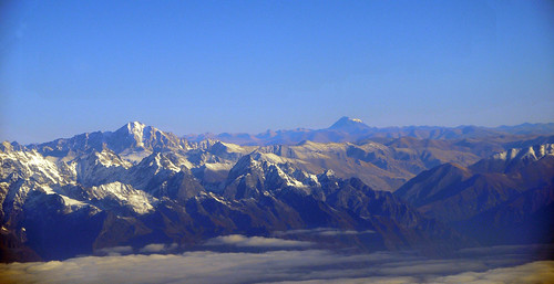
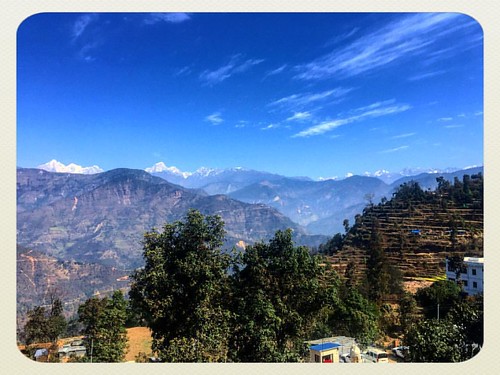
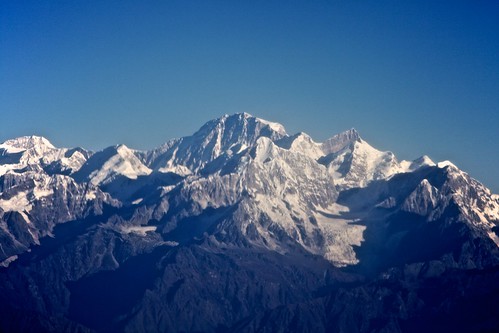
Topographic Map of Kalika, Nepal
Find elevation by address:

Places in Kalika, Nepal:
Places near Kalika, Nepal:
Banjhe
Saping
Dolalghat
Panchkhal
Kavre Nitya Chandeshwor
Dwarika's Resort Dhulikhel
Namobuddha Road
Namobuddha Road
Kavre Bhanjyang
Dhulikhel
Nala Ugrachandi
28 Kilo
Nagarkot View Tower
Banepa
Nagarkot
Jaharsingh Pauwa View Point, Lapsephedi
Jarsing Pauwa Bus Stand
Lapsephedi
Suntol
Muhan Pokhari
Recent Searches:
- Elevation of Corso Fratelli Cairoli, 35, Macerata MC, Italy
- Elevation of Tallevast Rd, Sarasota, FL, USA
- Elevation of 4th St E, Sonoma, CA, USA
- Elevation of Black Hollow Rd, Pennsdale, PA, USA
- Elevation of Oakland Ave, Williamsport, PA, USA
- Elevation of Pedrógão Grande, Portugal
- Elevation of Klee Dr, Martinsburg, WV, USA
- Elevation of Via Roma, Pieranica CR, Italy
- Elevation of Tavkvetili Mountain, Georgia
- Elevation of Hartfords Bluff Cir, Mt Pleasant, SC, USA
