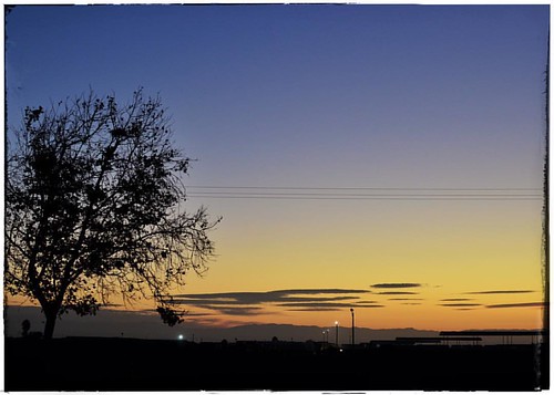
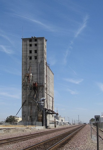
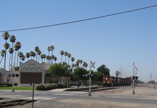
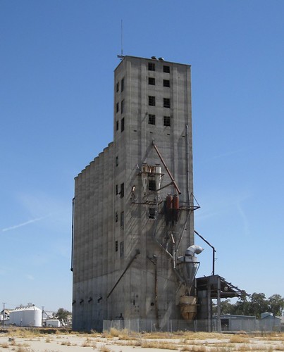
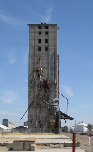
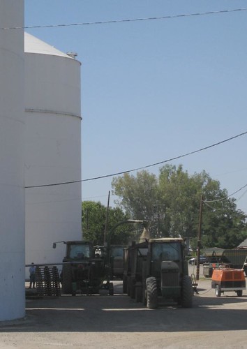
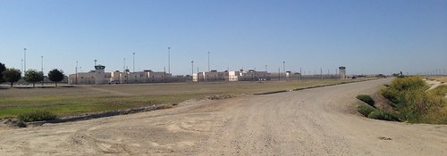
Elevation of Santa Fe Ave, Corcoran, CA, USA
Location: United States > California > Kings County > Corcoran >
Longitude: -119.55176
Latitude: 36.093177
Elevation: 63m / 207feet
Barometric Pressure: 101KPa
Related Photos:
Topographic Map of Santa Fe Ave, Corcoran, CA, USA
Find elevation by address:

Places near Santa Fe Ave, Corcoran, CA, USA:
1200 Flory Ave
Corcoran
1318 Jepsen Ave
2352 Sherman Ave
2323 North Ave
2213 Orange Ave
2224 Orange Ave
2523 North Ave
410 Nimitz Ave
6004 Kent Ave
9625 Kent Ave
1st Pl, Hanford, CA, USA
Vista Ave, Hanford, CA, USA
Lacey Blvd, Hanford, CA, USA
Grangeville Blvd, Hanford, CA, USA
121 E 3rd St
Davis St, Hanford, CA, USA
N Douty St, Hanford, CA, USA
Hanford
Armona
Recent Searches:
- Elevation of Corso Fratelli Cairoli, 35, Macerata MC, Italy
- Elevation of Tallevast Rd, Sarasota, FL, USA
- Elevation of 4th St E, Sonoma, CA, USA
- Elevation of Black Hollow Rd, Pennsdale, PA, USA
- Elevation of Oakland Ave, Williamsport, PA, USA
- Elevation of Pedrógão Grande, Portugal
- Elevation of Klee Dr, Martinsburg, WV, USA
- Elevation of Via Roma, Pieranica CR, Italy
- Elevation of Tavkvetili Mountain, Georgia
- Elevation of Hartfords Bluff Cir, Mt Pleasant, SC, USA
