Elevation of Santa District, Peru
Location: Peru > Ancash > Santa >
Longitude: -78.614185
Latitude: -8.9877356
Elevation: 26m / 85feet
Barometric Pressure: 101KPa
Elevation Map:
Satellite Map:
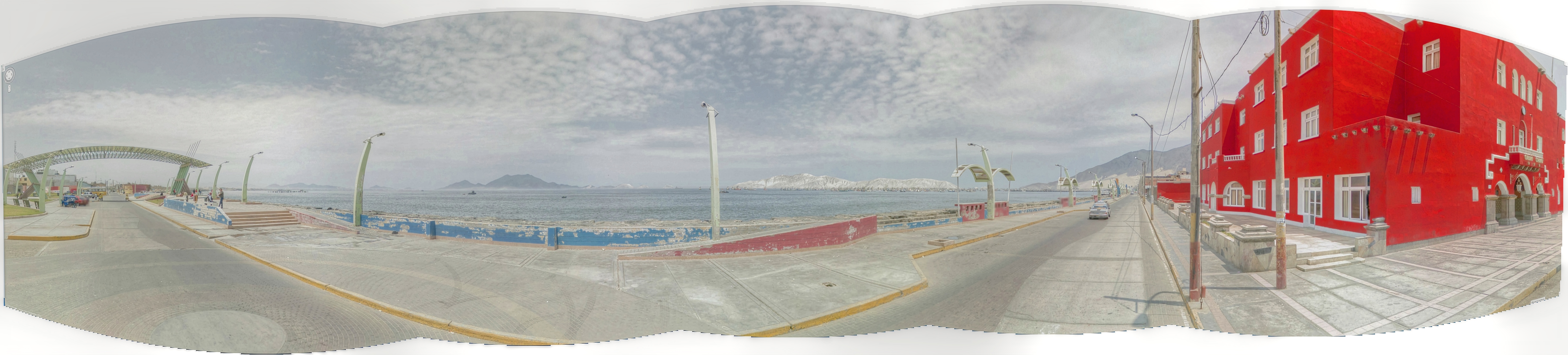
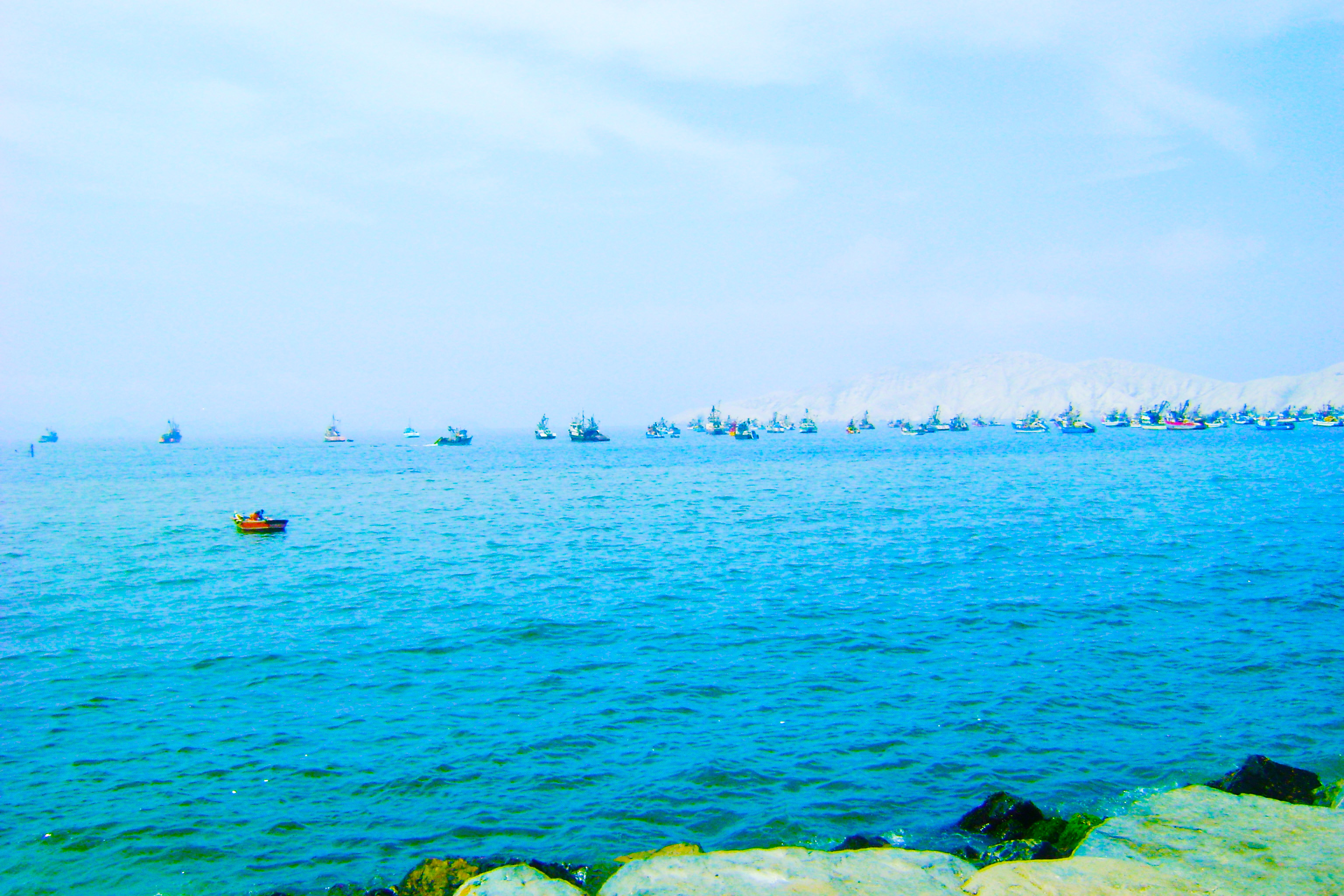
Related Photos:
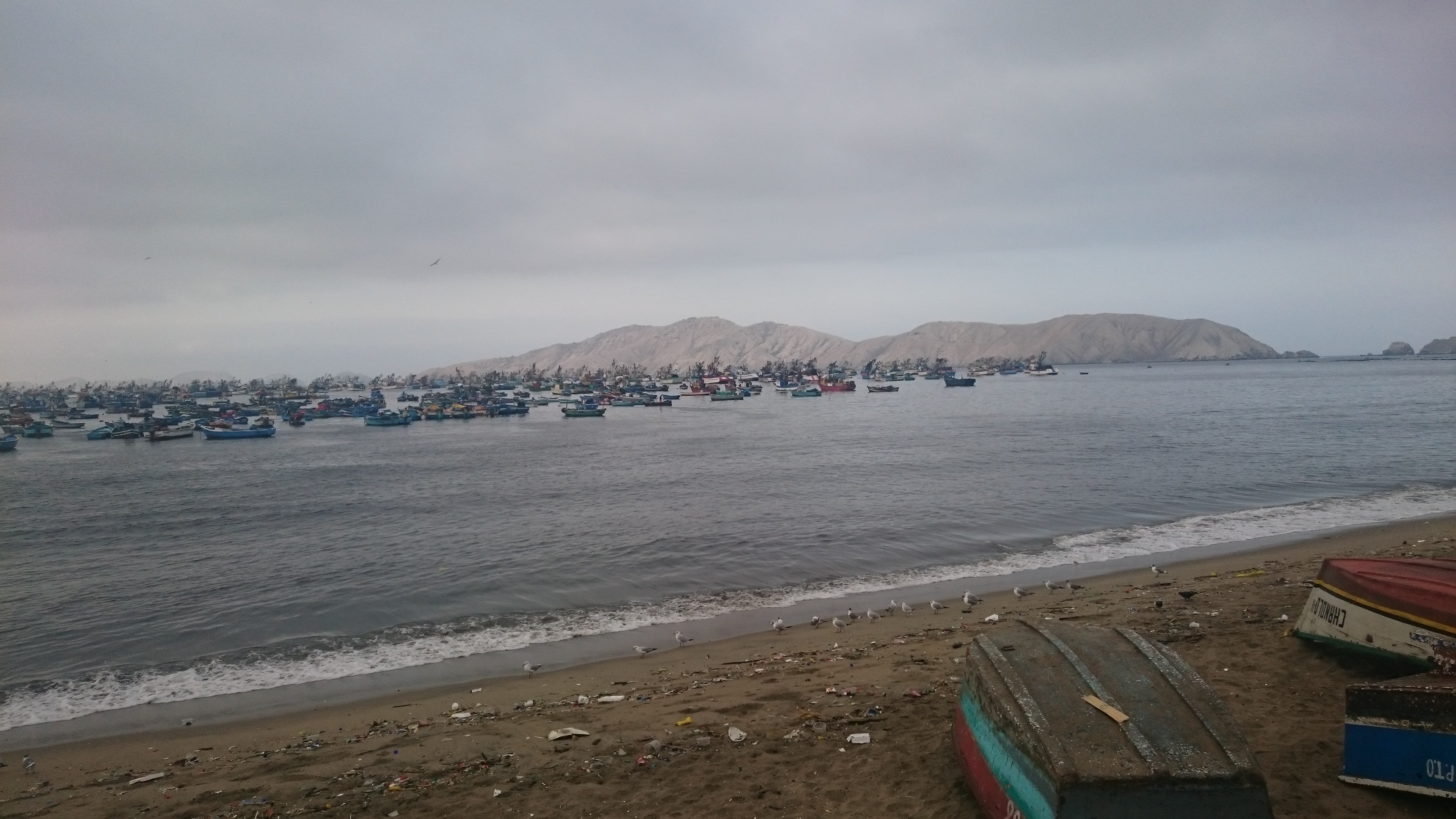
Chimbote and Isla Blanca

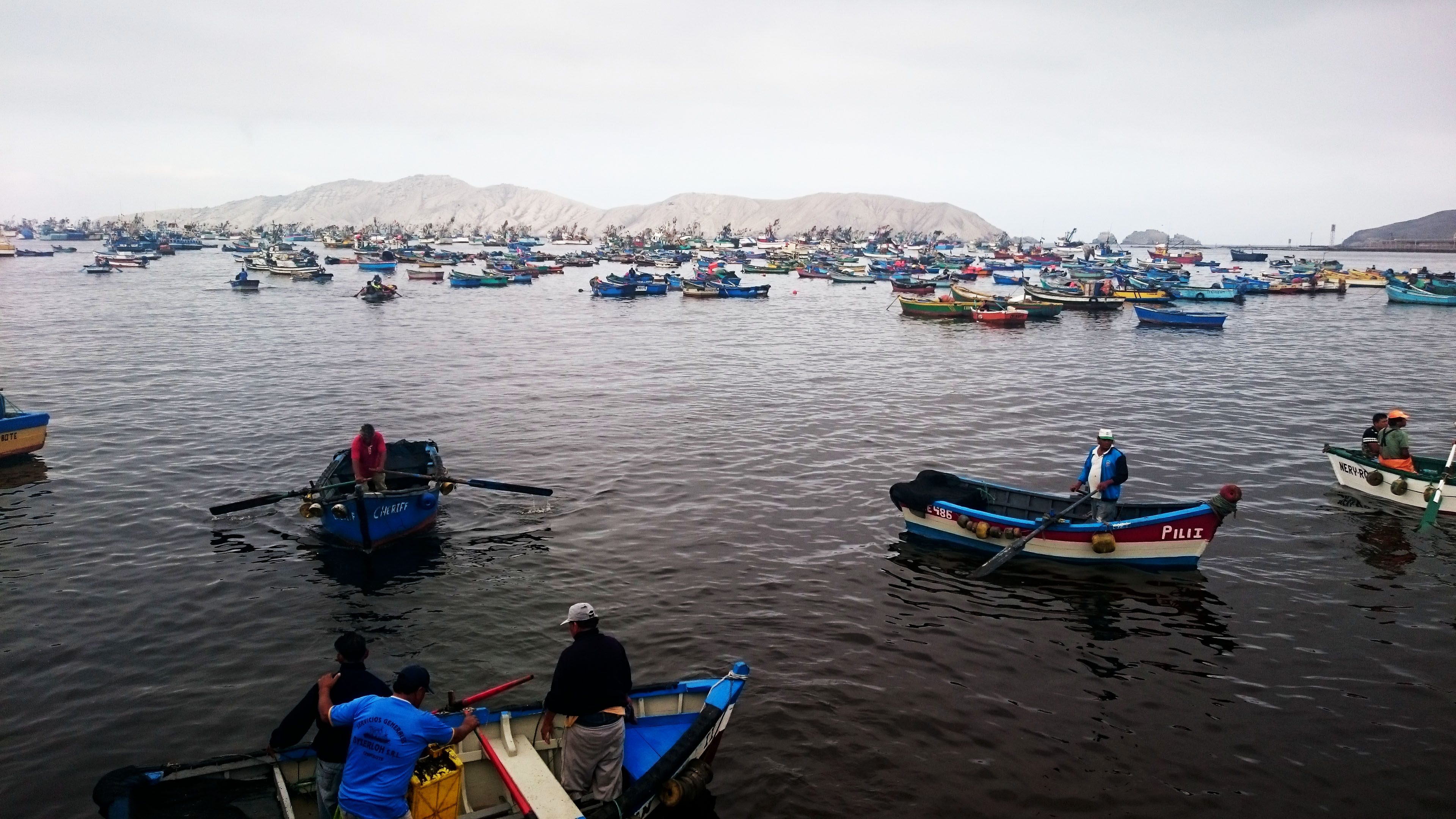
CHIMBOTE/fishermen

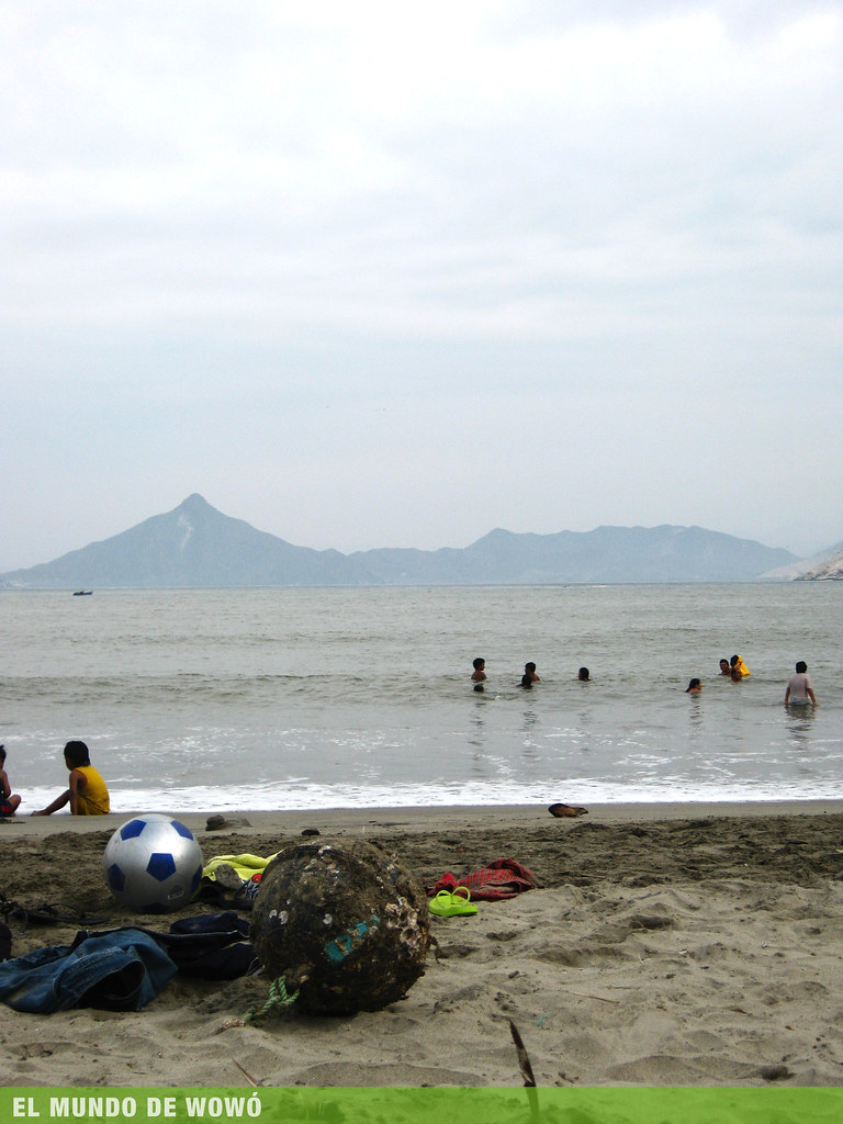
playa:)
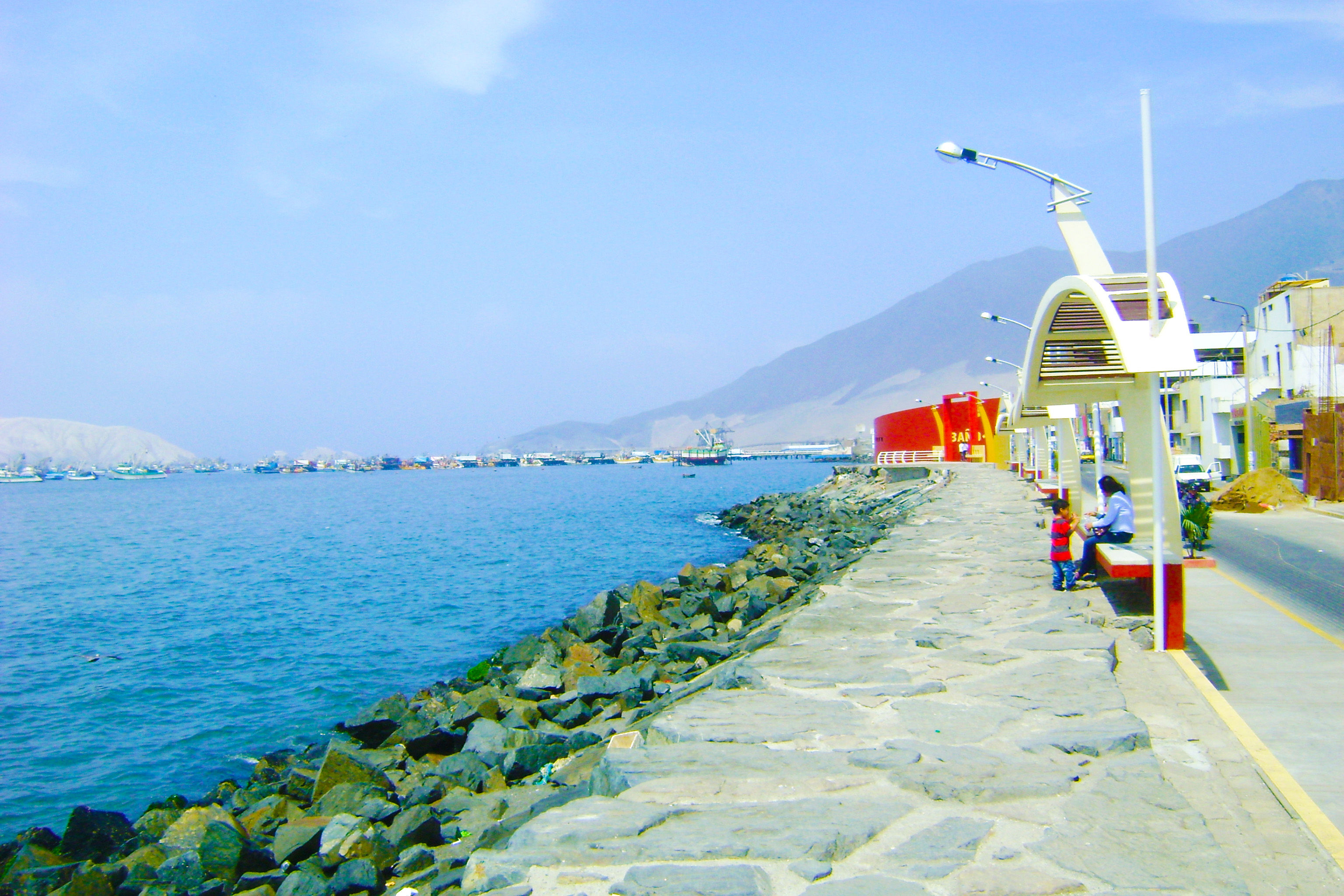
Puerto Chimbote - Malecón
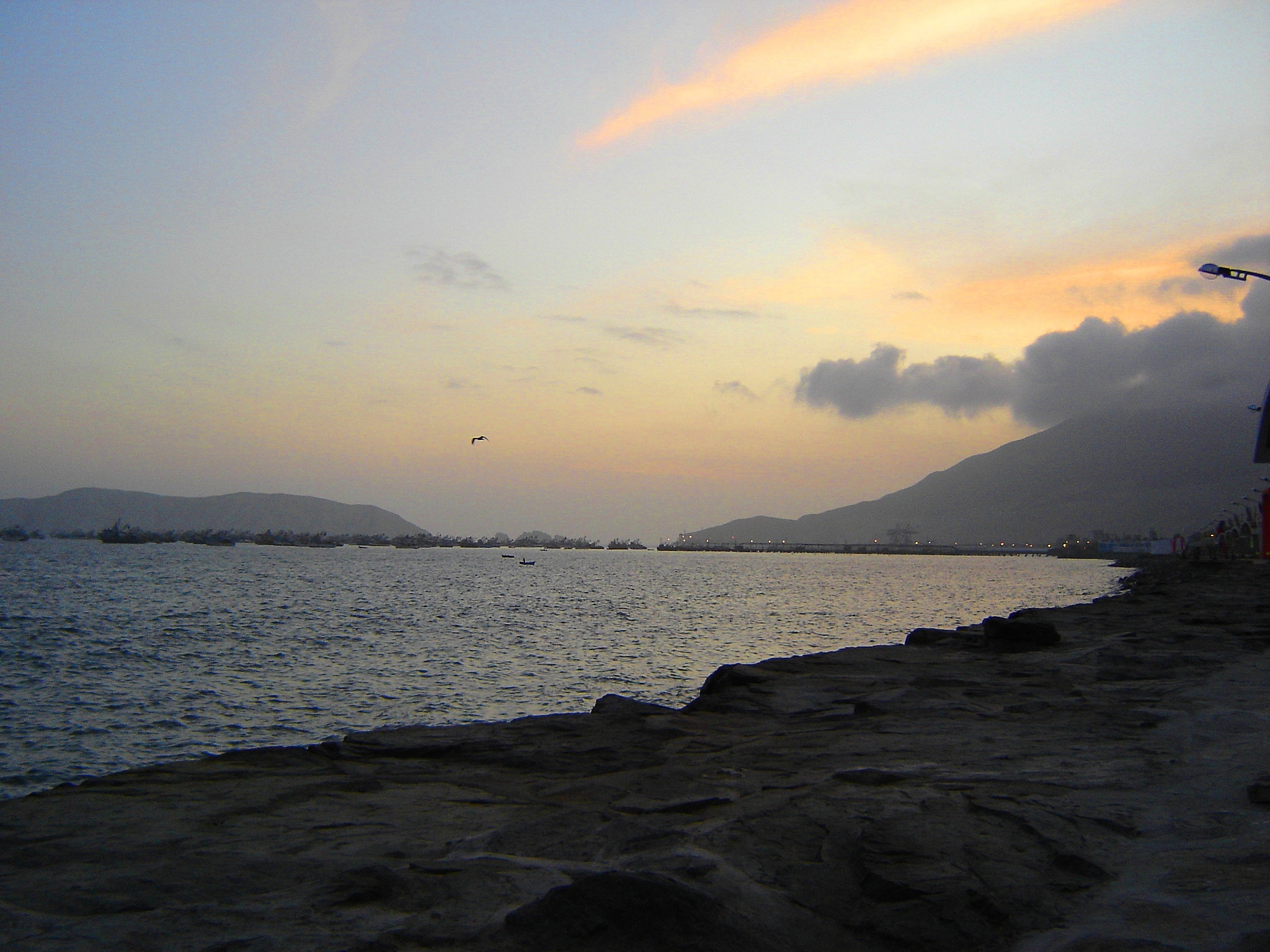
Bahia Chimbote
Puerto Chimbote

Perú. Viru

Peru. Chimbote
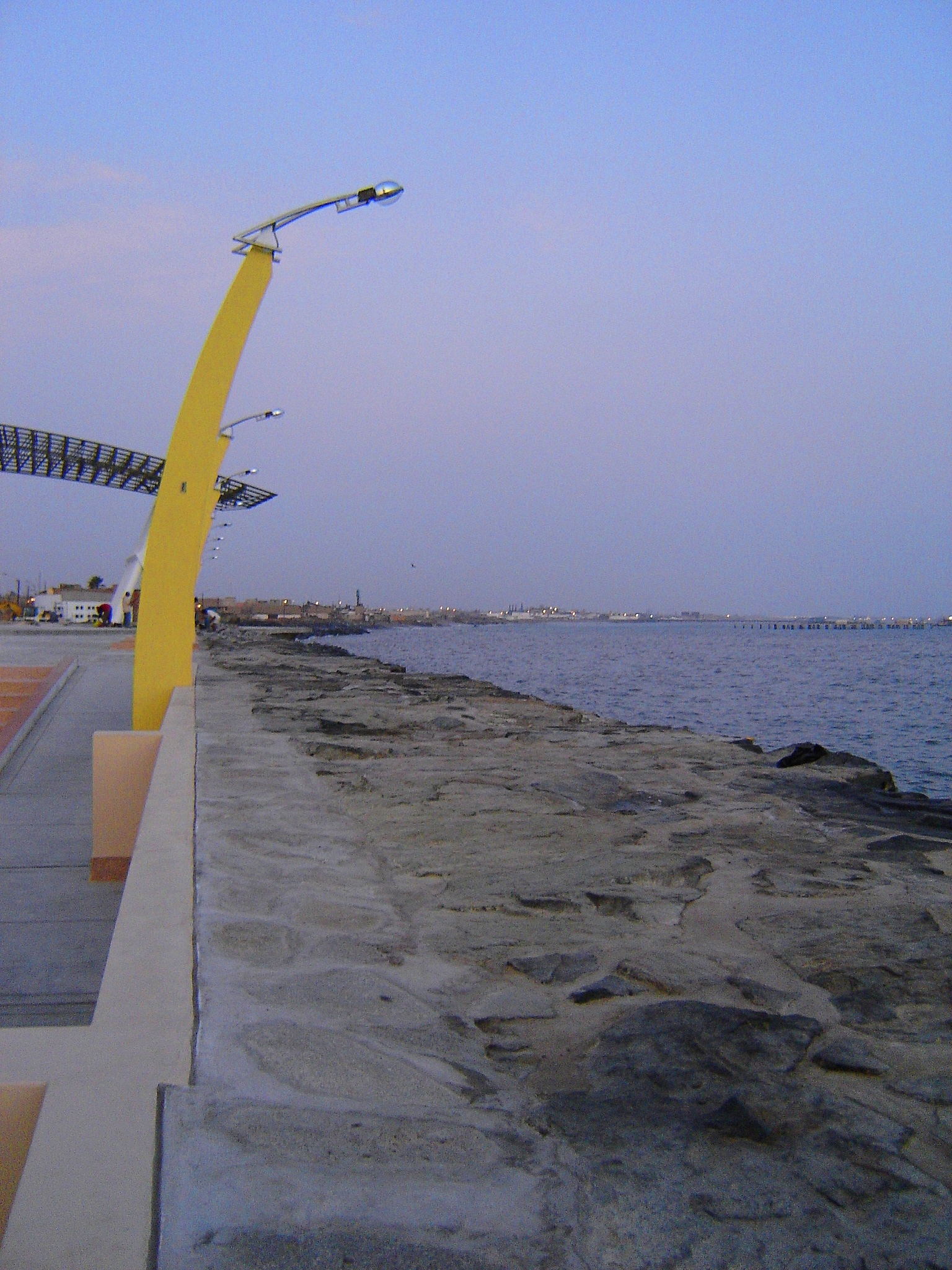
Malecón Chimbote
Mar mío
Peru-Chimbote (10)
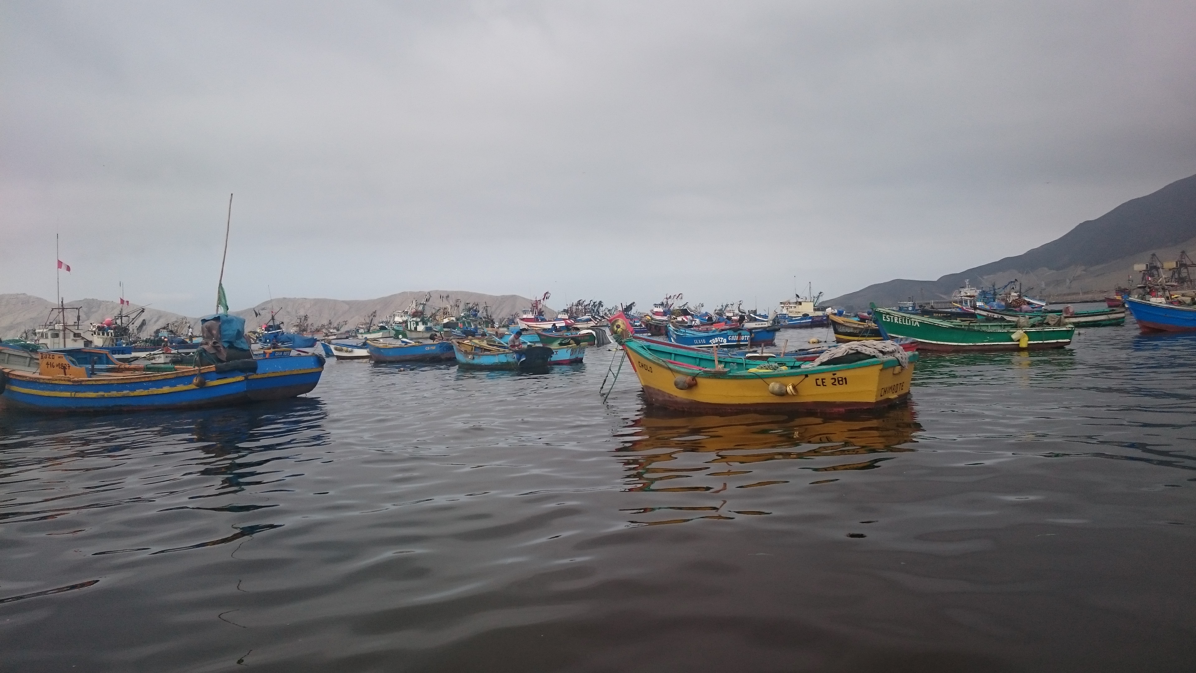
Peru-Chimbote (2)
Peru-Chimbote (5)
Topographic Map of Santa District, Peru
Find elevation by address:

Places near Santa District, Peru:
Santa
Huaylas Province
PE-3N 50, Peru
Caraz
Yungay
Yungay Province
Nevado Pisco
Huascaran
Ancash
Ulta
Punta Olimpica
Yanama District
Chavin
14A 14, Peru
Asunción Province
Huaraz
Huaraz
Huaraz Pinar (puyas)
Nueva Florida
Piscobamba
Recent Searches:
- Elevation of Corso Fratelli Cairoli, 35, Macerata MC, Italy
- Elevation of Tallevast Rd, Sarasota, FL, USA
- Elevation of 4th St E, Sonoma, CA, USA
- Elevation of Black Hollow Rd, Pennsdale, PA, USA
- Elevation of Oakland Ave, Williamsport, PA, USA
- Elevation of Pedrógão Grande, Portugal
- Elevation of Klee Dr, Martinsburg, WV, USA
- Elevation of Via Roma, Pieranica CR, Italy
- Elevation of Tavkvetili Mountain, Georgia
- Elevation of Hartfords Bluff Cir, Mt Pleasant, SC, USA