Elevation of Ulta, Peru
Location: Peru > Ancash > Asunción Province >
Longitude: -77.518945
Latitude: -9.152437
Elevation: 5283m / 17333feet
Barometric Pressure: 52KPa
Elevation Map:
Satellite Map:
Related Photos:
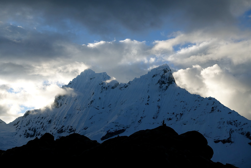
Sunset view of Chacraraju
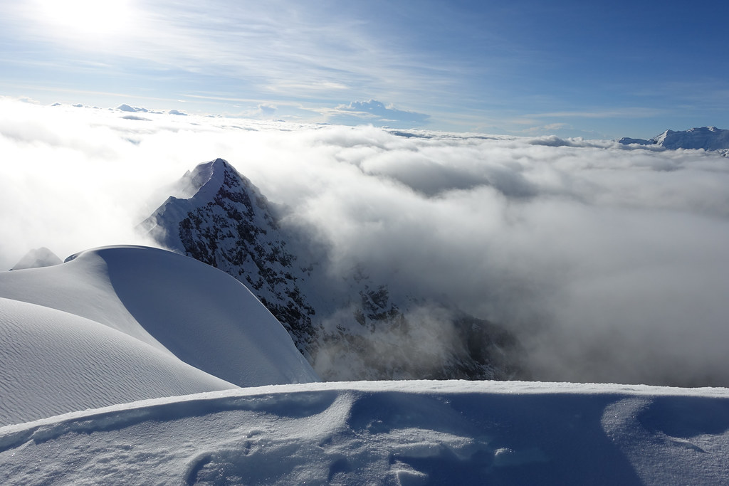
Yanapaccha - view over the clouds
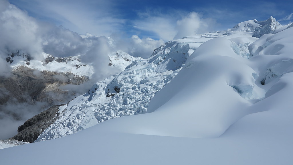
View from the flank of Nevado Pisco (5752 m)
Topographic Map of Ulta, Peru
Find elevation by address:

Places near Ulta, Peru:
Punta Olimpica
Asunción Province
Huascaran
Yanama District
Ancash
Nevado Pisco
Yungay Province
Yungay
Chavin
Caraz
Piscobamba
Churup
Huaraz Pinar (puyas)
Huaraz
Huaraz
Nueva Florida
14A 14, Peru
Huaylas Province
PE-3N 50, Peru
Aija
Recent Searches:
- Elevation of Corso Fratelli Cairoli, 35, Macerata MC, Italy
- Elevation of Tallevast Rd, Sarasota, FL, USA
- Elevation of 4th St E, Sonoma, CA, USA
- Elevation of Black Hollow Rd, Pennsdale, PA, USA
- Elevation of Oakland Ave, Williamsport, PA, USA
- Elevation of Pedrógão Grande, Portugal
- Elevation of Klee Dr, Martinsburg, WV, USA
- Elevation of Via Roma, Pieranica CR, Italy
- Elevation of Tavkvetili Mountain, Georgia
- Elevation of Hartfords Bluff Cir, Mt Pleasant, SC, USA