Elevation of Santa Barbara Island, California, USA
Location: United States > California > Santa Barbara County >
Longitude: -119.03726
Latitude: 33.4755721
Elevation: 137m / 449feet
Barometric Pressure: 100KPa
Elevation Map:
Satellite Map:
Related Photos:
Webster Point, Santa Barbara Island, California - Olympus 35SP - Pro 160S
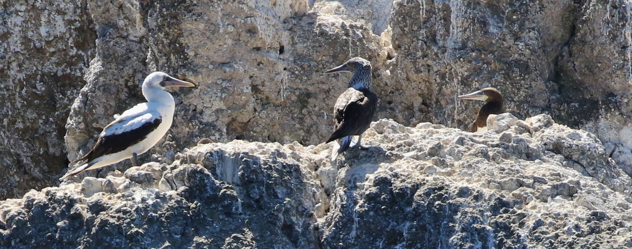
Are you looking at me?
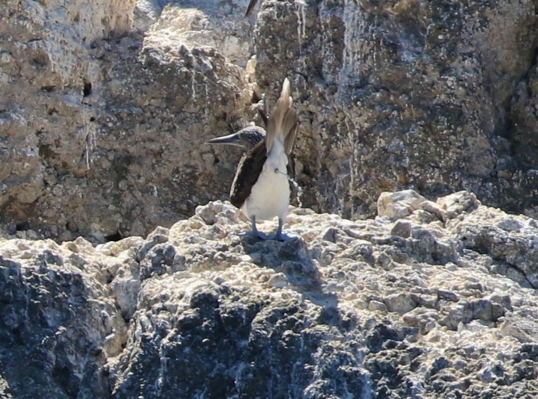
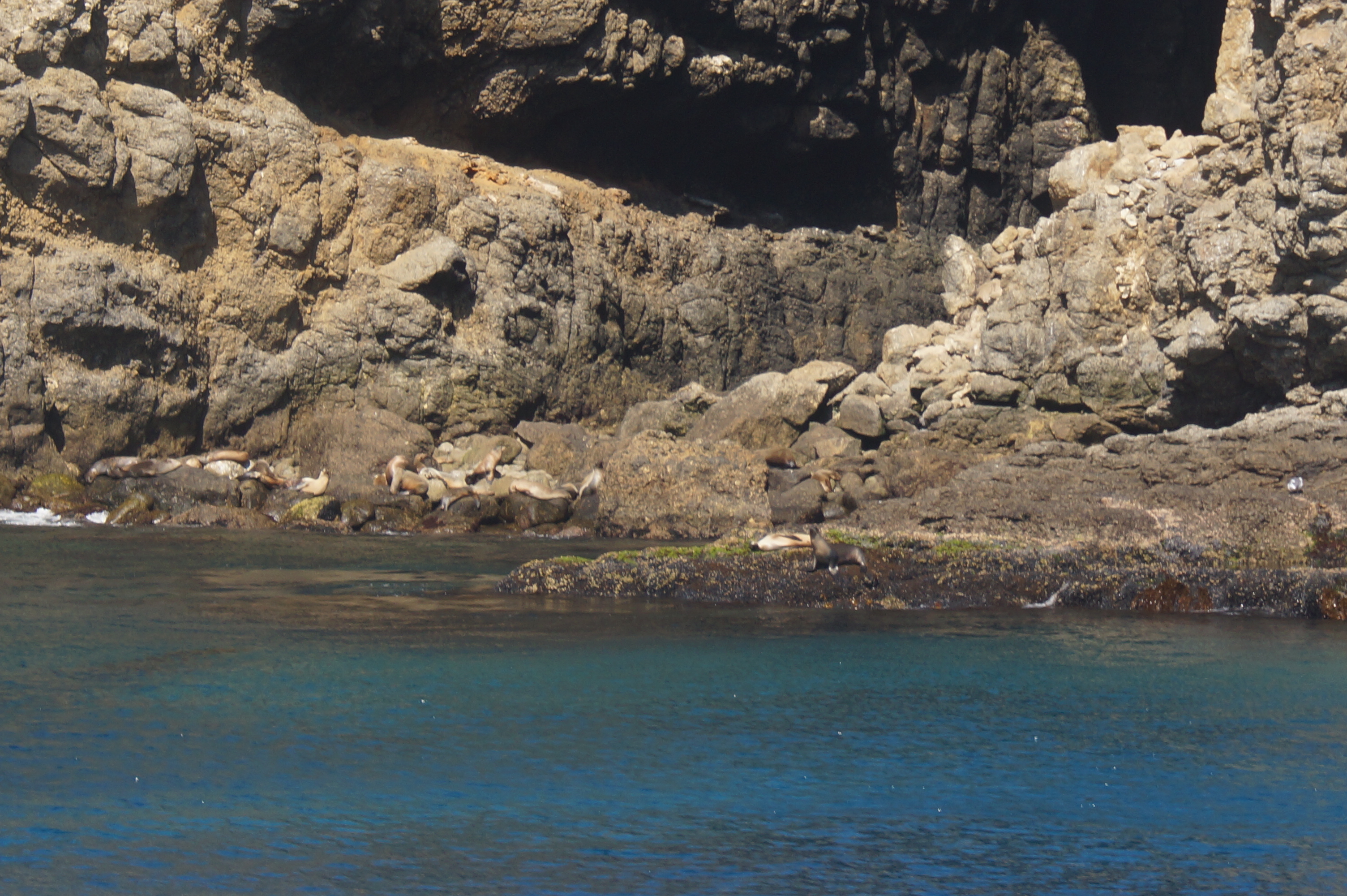
Where guano comes from
0923-131420a
0923-145221

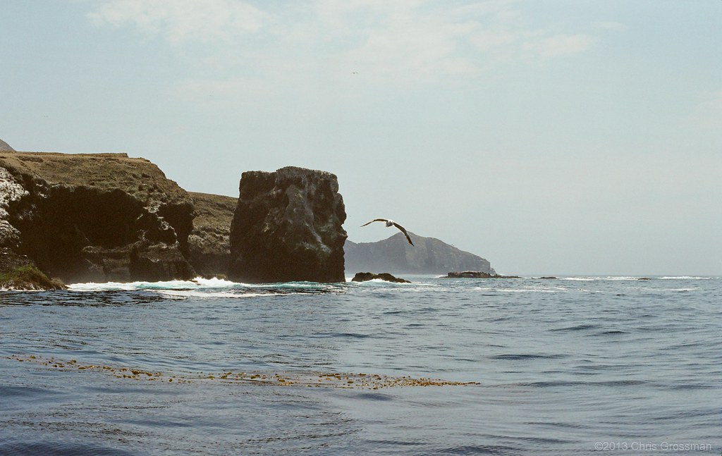
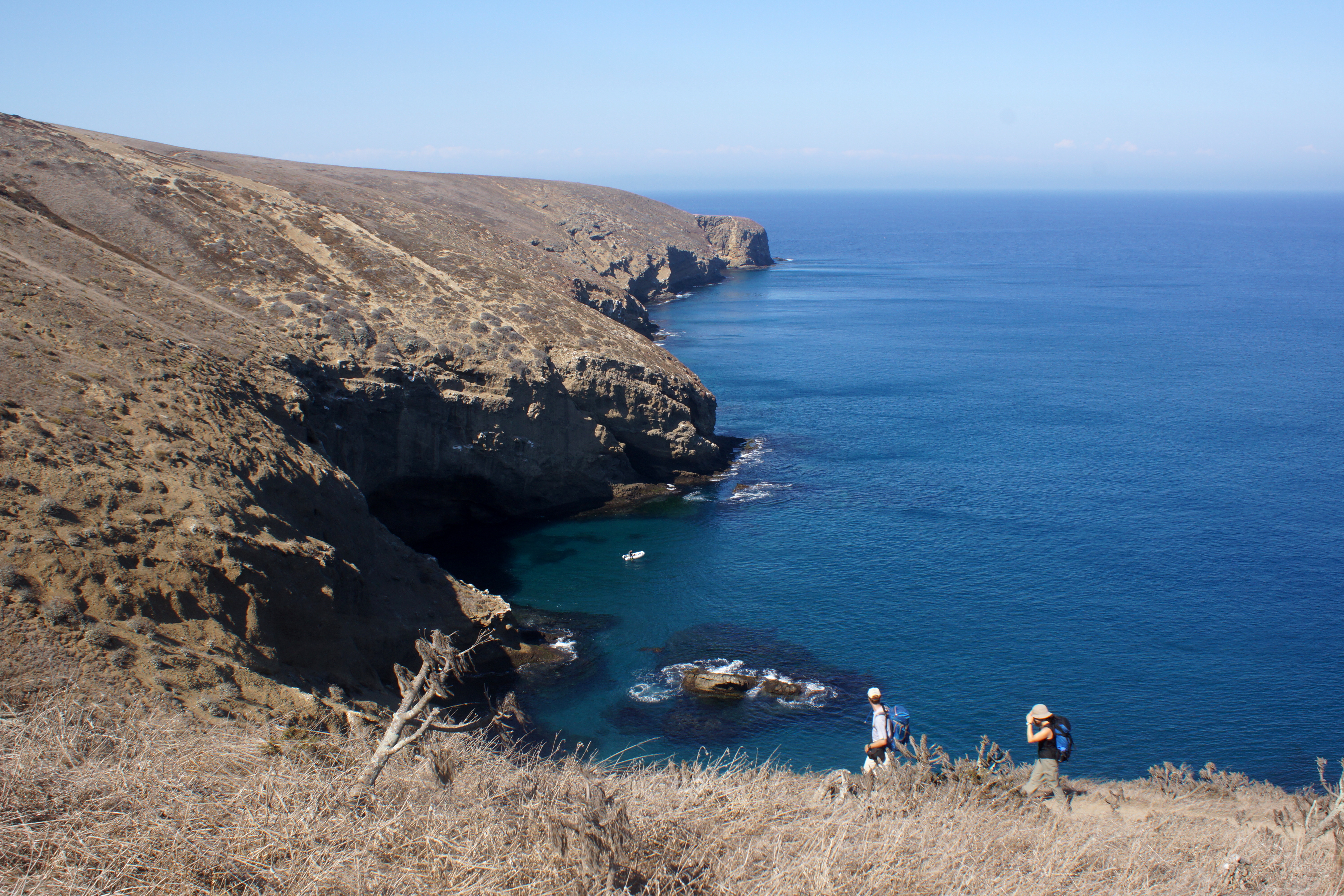
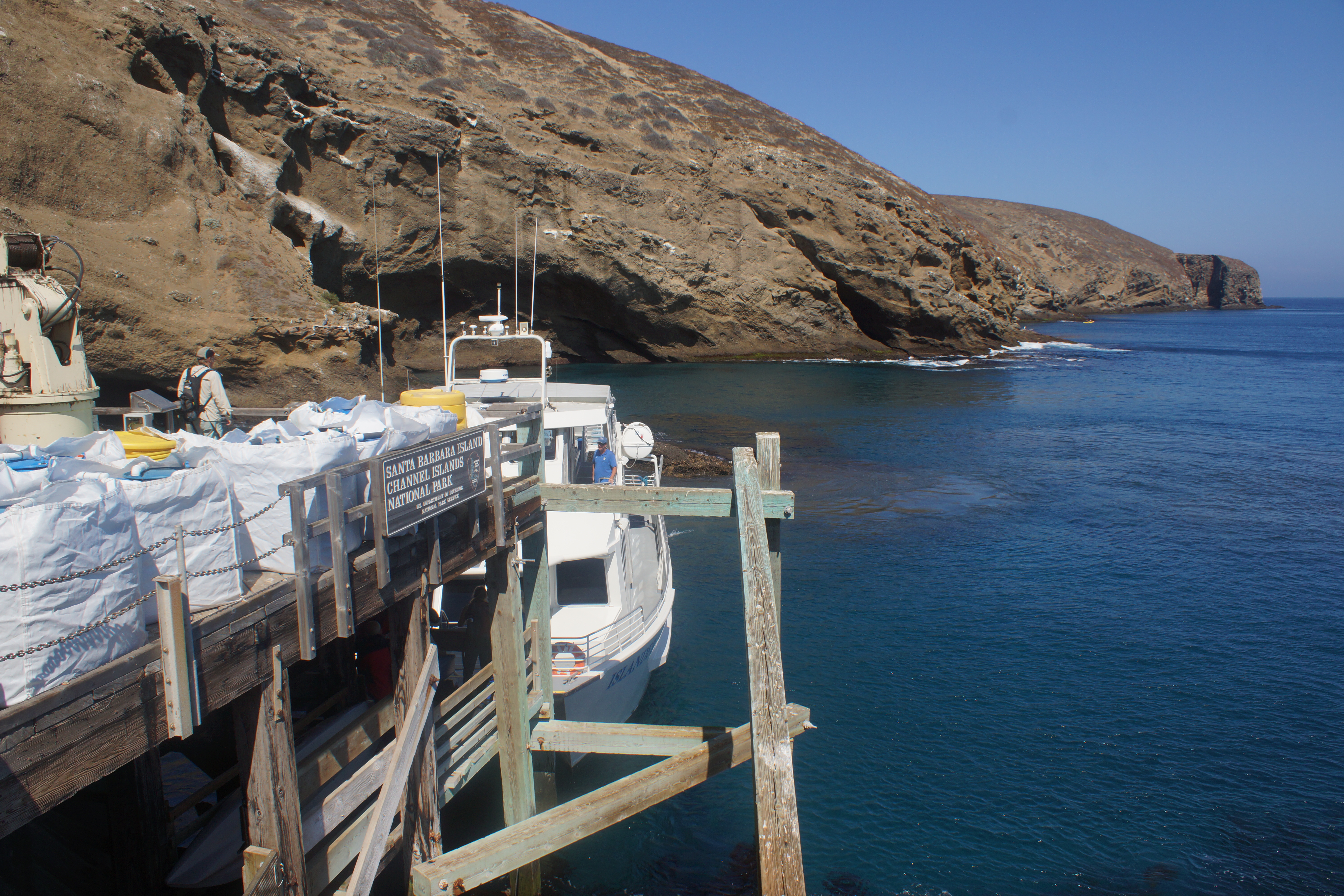
Santa Barbara Island
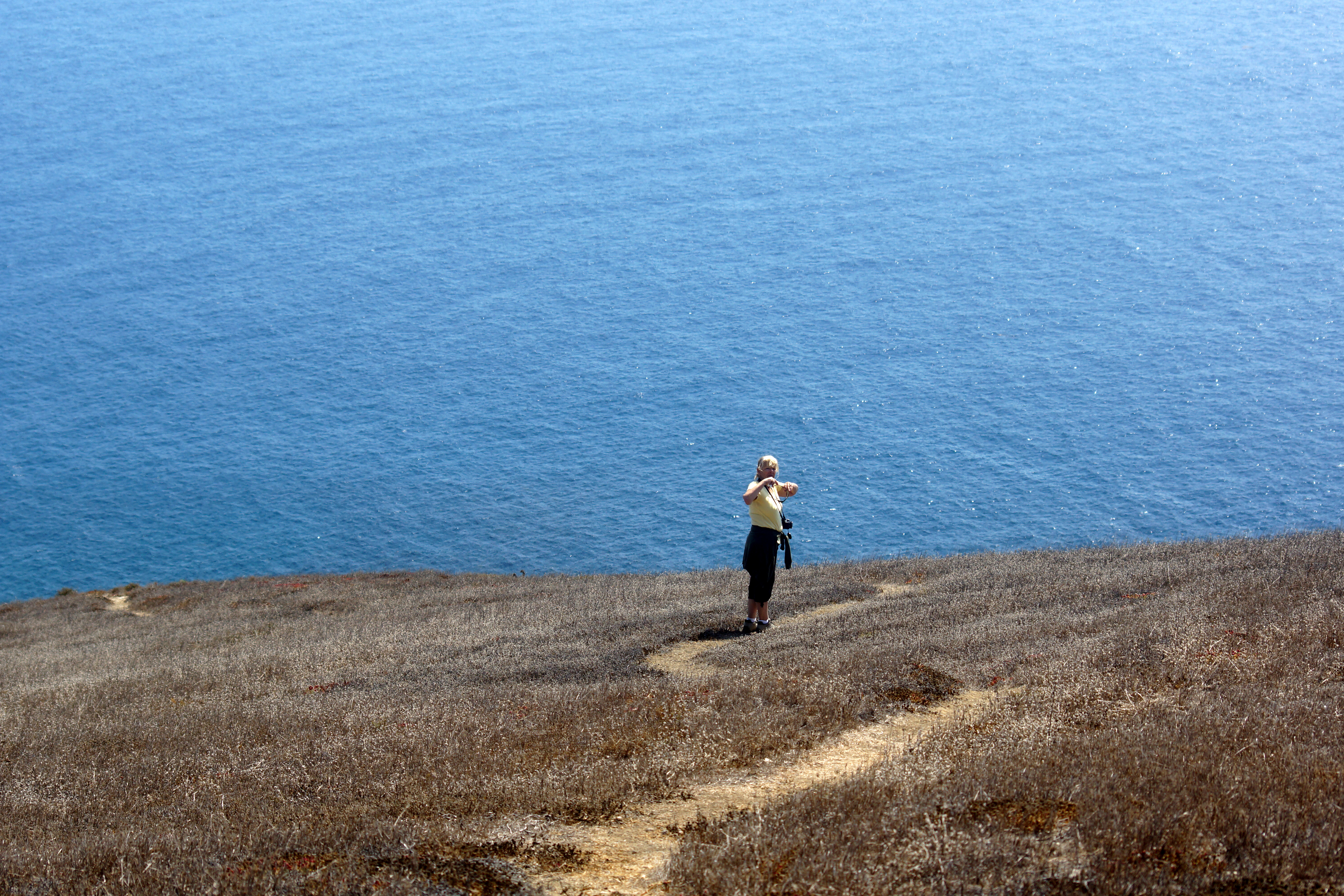
Good Morning Santa Barbara Island.
Santa Barbara Island
santa barbara island
0923-153627a
0923-153320a
0923-153714
0923-123313
0923-114152a
0923-113337a
Topographic Map of Santa Barbara Island, California, USA
Find elevation by address:

Places near Santa Barbara Island, California, USA:
San Nicolas Island
1 W Banning House Rd, Avalon, CA, USA
Santa Catalina Island
Pelican Cove Park
32636 Nantasket Dr
Rancho Palos Verdes
6 Barkentine Rd, Rancho Palos Verdes, CA, USA
1 Cinnamon Ln
Cliffside Trail
122 Hill St
Avalon
Palos Verdes Peninsula, CA, USA
Avalon Water Treatment Plant
32222 Sea Raven Dr
3650 Cliffsite Dr
6 Avenida De Camelia, Rancho Palos Verdes, CA, USA
3700 W 37th St
4 Avenida De Olma
30411 Palos Verdes Dr E
Crownview Drive
Recent Searches:
- Elevation of Corso Fratelli Cairoli, 35, Macerata MC, Italy
- Elevation of Tallevast Rd, Sarasota, FL, USA
- Elevation of 4th St E, Sonoma, CA, USA
- Elevation of Black Hollow Rd, Pennsdale, PA, USA
- Elevation of Oakland Ave, Williamsport, PA, USA
- Elevation of Pedrógão Grande, Portugal
- Elevation of Klee Dr, Martinsburg, WV, USA
- Elevation of Via Roma, Pieranica CR, Italy
- Elevation of Tavkvetili Mountain, Georgia
- Elevation of Hartfords Bluff Cir, Mt Pleasant, SC, USA