Elevation of Santa Ana, Ecuador
Location: Ecuador > Manabí Province >
Longitude: -80.368648
Latitude: -1.2069
Elevation: 57m / 187feet
Barometric Pressure: 101KPa
Elevation Map:
Satellite Map:
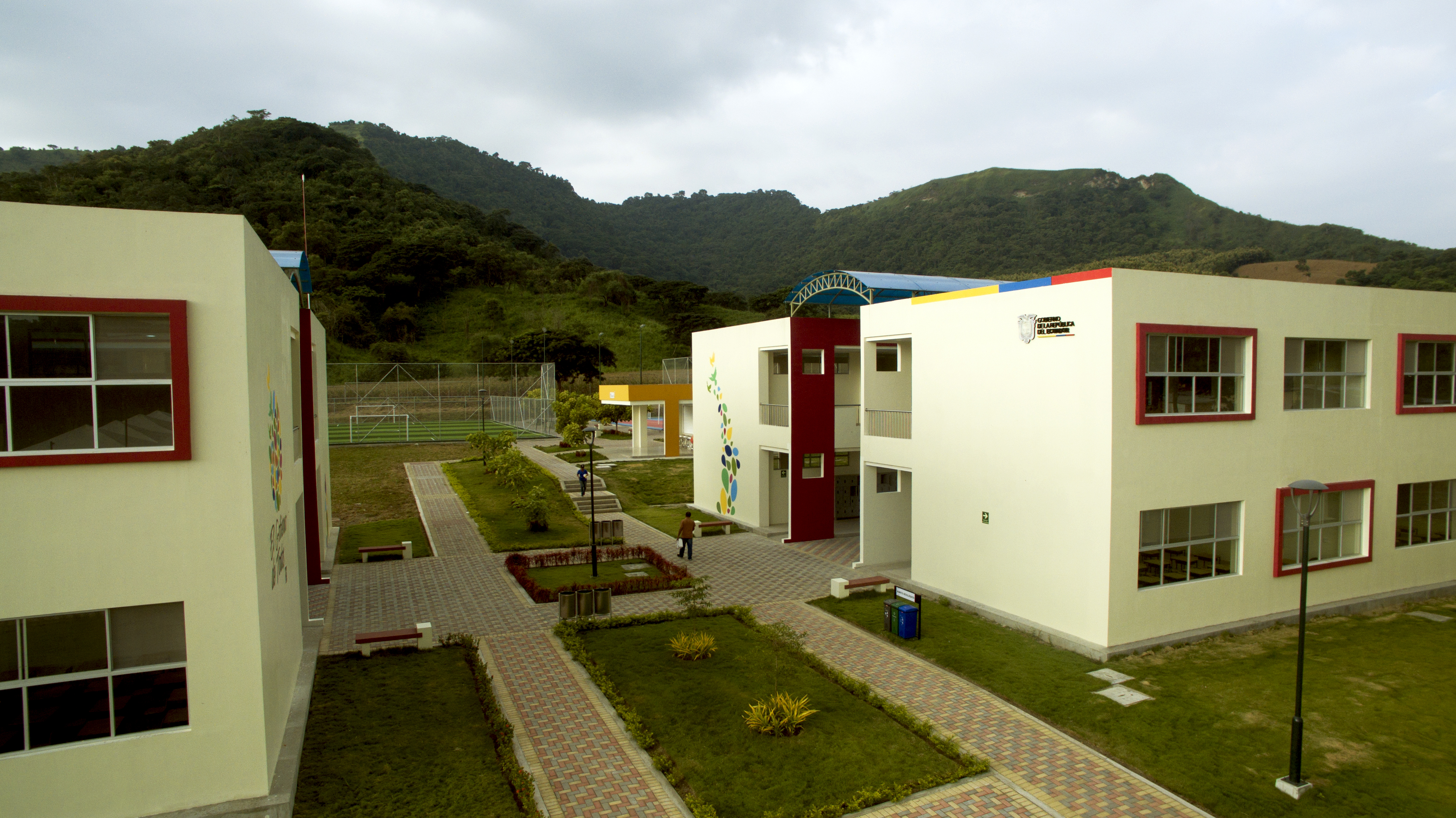
Related Photos:
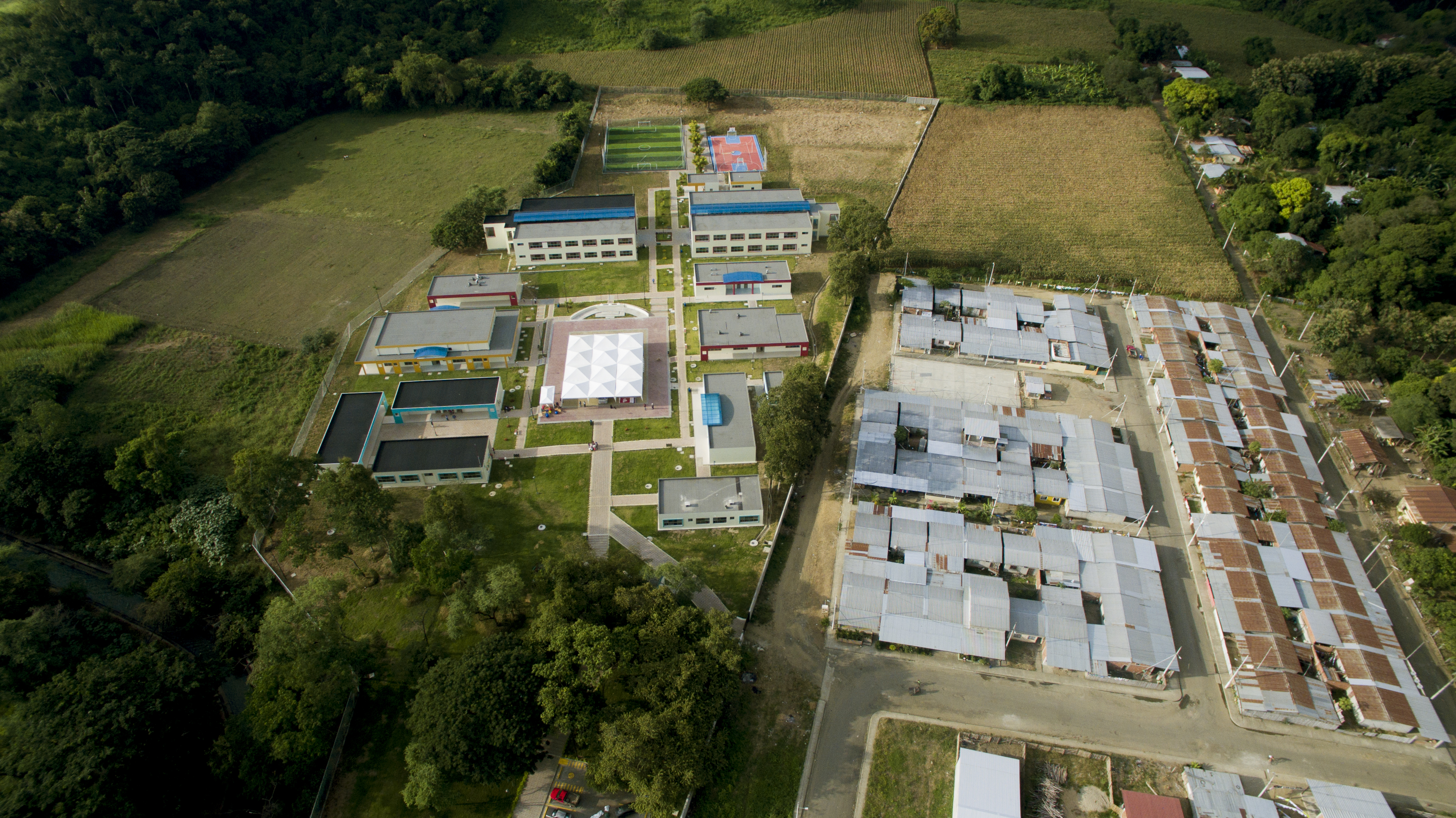
foto aerea 8
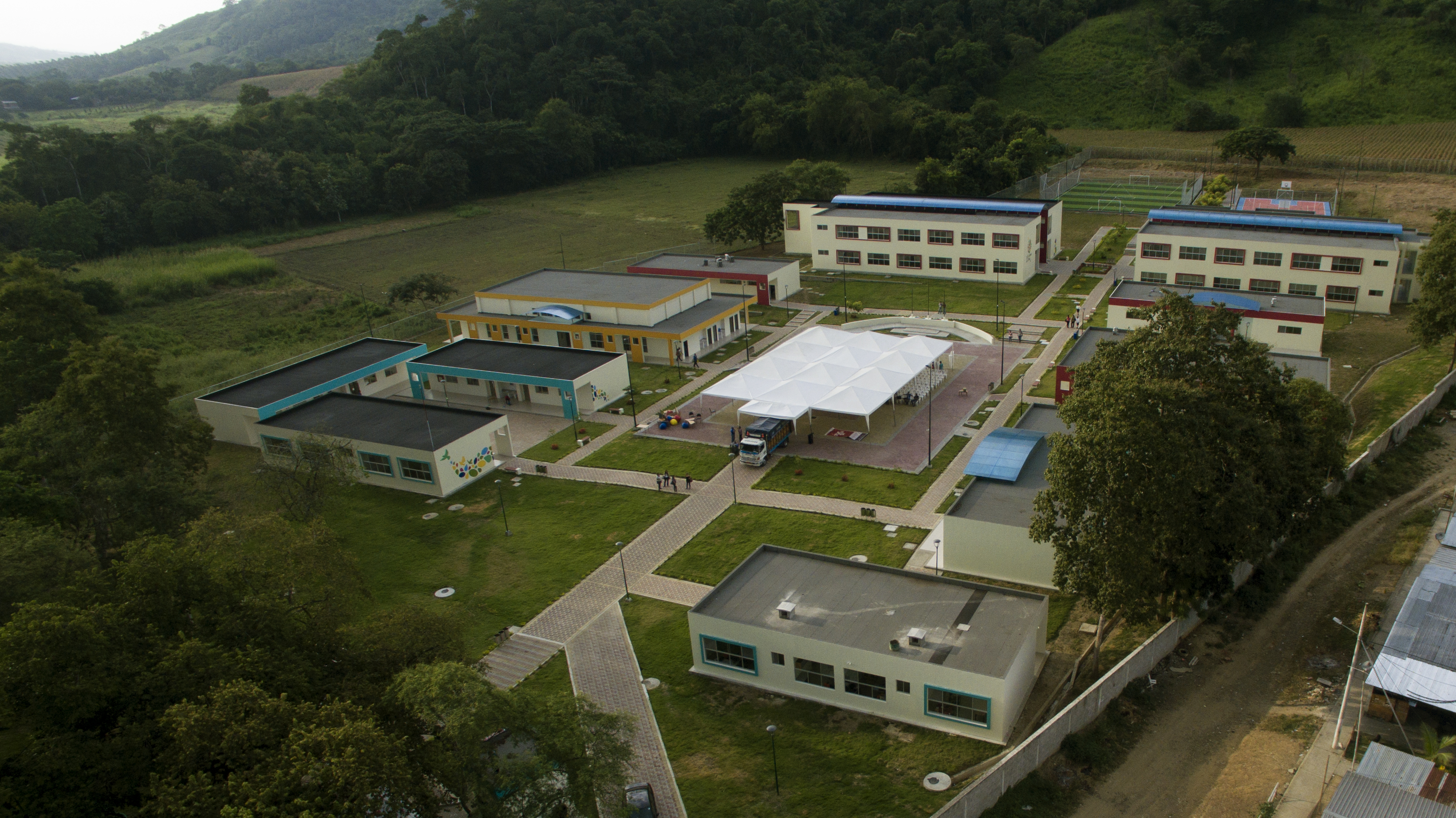
foto aerea 9
fotos area 3
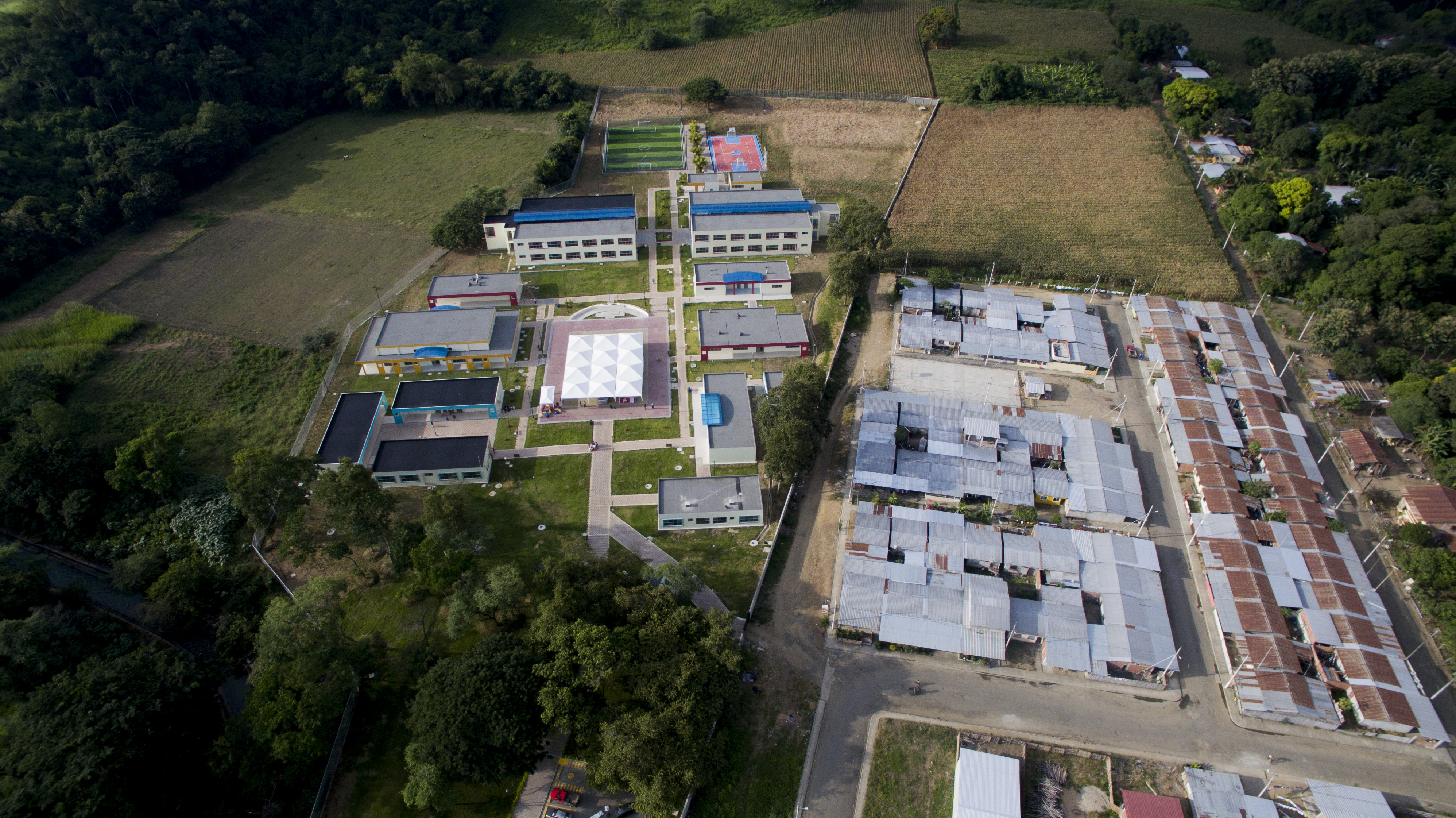
Foto aerea 1 foto 1
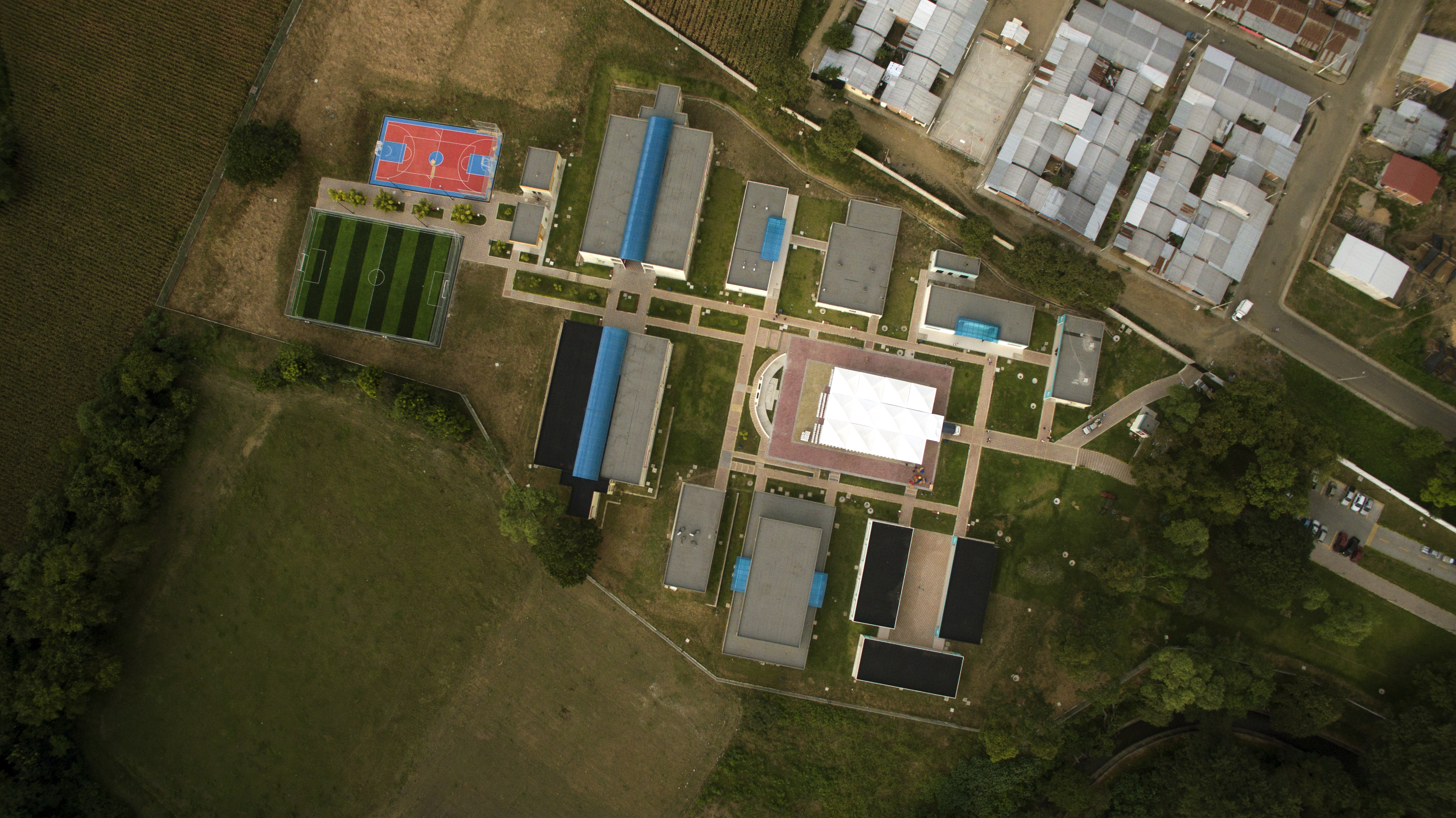
foto aerea 5

foto aerea 6

foto area 7

drinking water2

spider and prey

Yellow Bird-ID Please!!!

zelus and prey
Topographic Map of Santa Ana, Ecuador
Find elevation by address:

Places near Santa Ana, Ecuador:
Portoviejo
Manabí Province
Portoviejo
Olmedo
Olmedo
Junin
Montecristi
Playa De Crucita
Crucita
Puerto Cayo
Manta
Calceta
Santa Marianita
Rio Salado
Bahia De Caraquez
San Vicente
Canoa
Rio Muchacho Organic Farm
San Isidro
Recent Searches:
- Elevation of Corso Fratelli Cairoli, 35, Macerata MC, Italy
- Elevation of Tallevast Rd, Sarasota, FL, USA
- Elevation of 4th St E, Sonoma, CA, USA
- Elevation of Black Hollow Rd, Pennsdale, PA, USA
- Elevation of Oakland Ave, Williamsport, PA, USA
- Elevation of Pedrógão Grande, Portugal
- Elevation of Klee Dr, Martinsburg, WV, USA
- Elevation of Via Roma, Pieranica CR, Italy
- Elevation of Tavkvetili Mountain, Georgia
- Elevation of Hartfords Bluff Cir, Mt Pleasant, SC, USA