Elevation of San Isidro, Ecuador
Location: Ecuador > Manabí Province >
Longitude: -80.184716
Latitude: -0.3763083
Elevation: 134m / 440feet
Barometric Pressure: 100KPa
Elevation Map:
Satellite Map:
Related Photos:
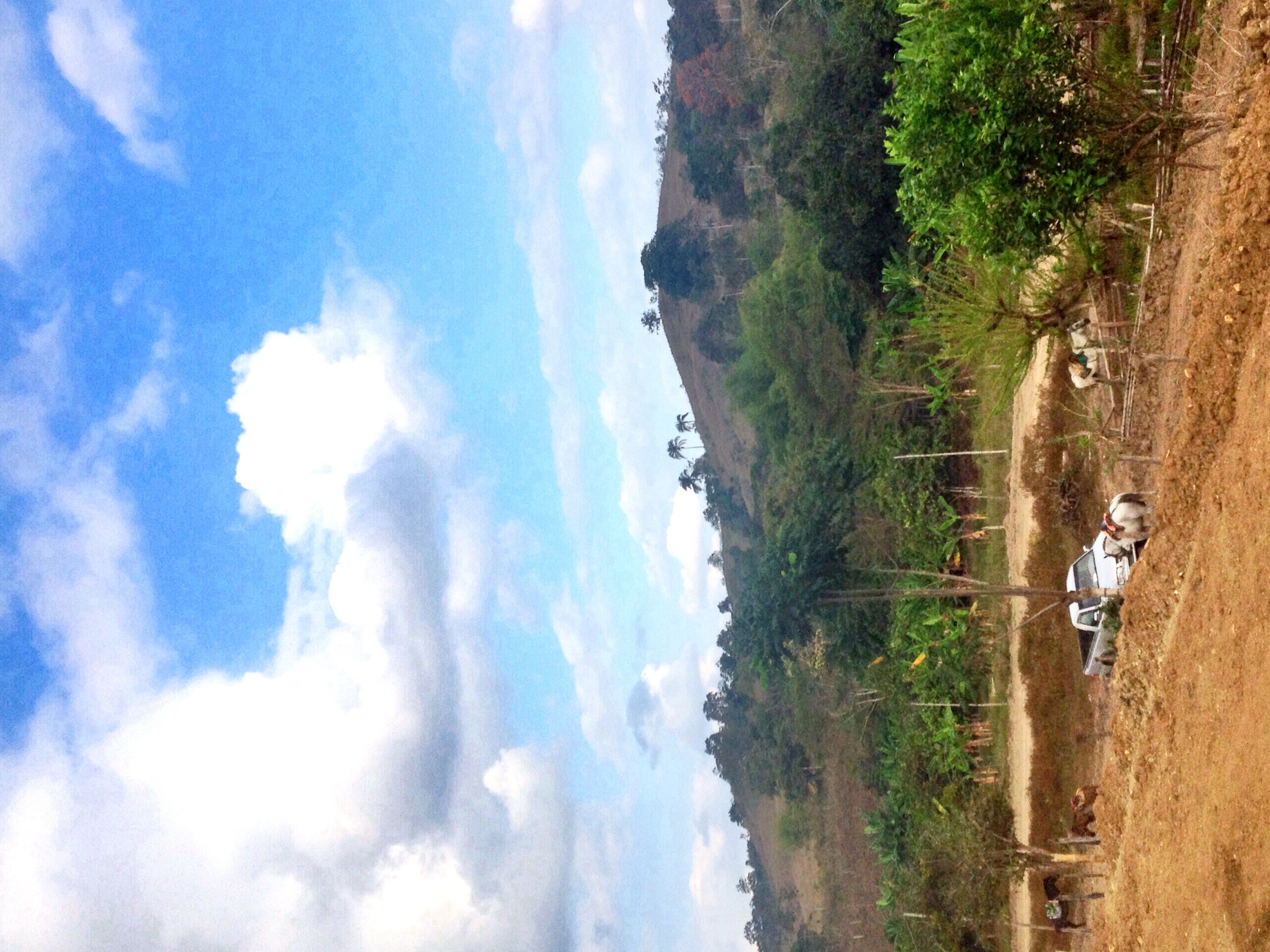
Chone-Ecuador
Topographic Map of San Isidro, Ecuador
Find elevation by address:

Places near San Isidro, Ecuador:
Rio Muchacho Organic Farm
Canoa
San Vicente
Bahia De Caraquez
Calceta
Junin
Crucita
Playa De Crucita
Portoviejo
Manabí Province
Portoviejo
Santa Marianita
Manta
Montecristi
Santa Ana
Olmedo
Olmedo
Rio Salado
Puerto Cayo
Recent Searches:
- Elevation of Corso Fratelli Cairoli, 35, Macerata MC, Italy
- Elevation of Tallevast Rd, Sarasota, FL, USA
- Elevation of 4th St E, Sonoma, CA, USA
- Elevation of Black Hollow Rd, Pennsdale, PA, USA
- Elevation of Oakland Ave, Williamsport, PA, USA
- Elevation of Pedrógão Grande, Portugal
- Elevation of Klee Dr, Martinsburg, WV, USA
- Elevation of Via Roma, Pieranica CR, Italy
- Elevation of Tavkvetili Mountain, Georgia
- Elevation of Hartfords Bluff Cir, Mt Pleasant, SC, USA