Elevation of Sant Kabir Nagar, Uttar Pradesh, India
Location: India > Uttar Pradesh >
Longitude: 83.0361376
Latitude: 26.7671755
Elevation: 81m / 266feet
Barometric Pressure: 100KPa
Elevation Map:
Satellite Map:
Related Photos:
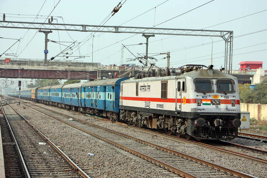
30442 d
Topographic Map of Sant Kabir Nagar, Uttar Pradesh, India
Find elevation by address:

Places in Sant Kabir Nagar, Uttar Pradesh, India:
Places near Sant Kabir Nagar, Uttar Pradesh, India:
Azizullah Urf Chakia
Jangal Mehtab Rai
Gorakhpur
Maniram Railway Station
Bargadwa
Siktaur
Vistar Colony
Central Academy Vikas Nagar Vistar ,bargadwa Gorakhpur
Balapar
Bashratpur
Gorakhpur
Maharajganj
Palta Devi
Ganges
Piprahawa
Lumbini
Lumbini Sanskritik
Kapilvastu
Sonauli
India Nepal Border, Sonauli
Recent Searches:
- Elevation of Corso Fratelli Cairoli, 35, Macerata MC, Italy
- Elevation of Tallevast Rd, Sarasota, FL, USA
- Elevation of 4th St E, Sonoma, CA, USA
- Elevation of Black Hollow Rd, Pennsdale, PA, USA
- Elevation of Oakland Ave, Williamsport, PA, USA
- Elevation of Pedrógão Grande, Portugal
- Elevation of Klee Dr, Martinsburg, WV, USA
- Elevation of Via Roma, Pieranica CR, Italy
- Elevation of Tavkvetili Mountain, Georgia
- Elevation of Hartfords Bluff Cir, Mt Pleasant, SC, USA