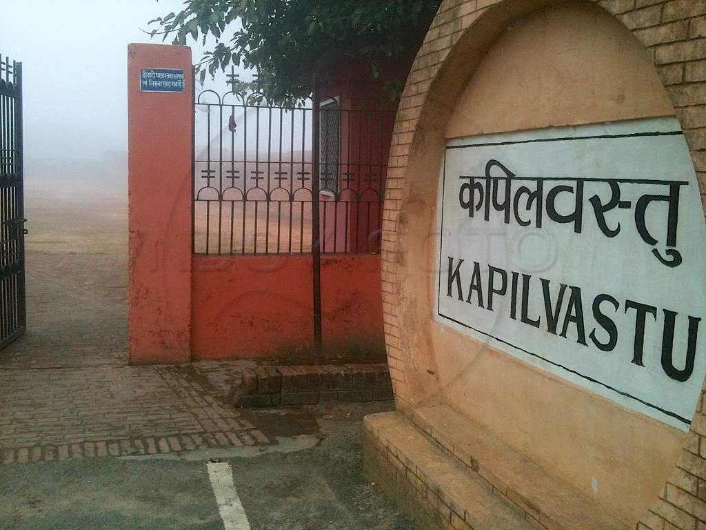
Elevation of Kapilvastu, Nepal
Location: Nepal > Western Region > Lumbini >
Longitude: 83.0468775
Latitude: 27.5517986
Elevation: 102m / 335feet
Barometric Pressure: 100KPa
Elevation Map:
Satellite Map:
Related Photos:
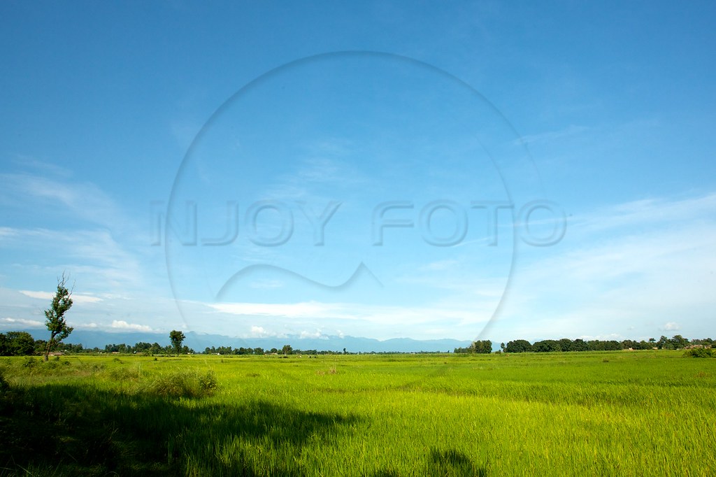
080920-014
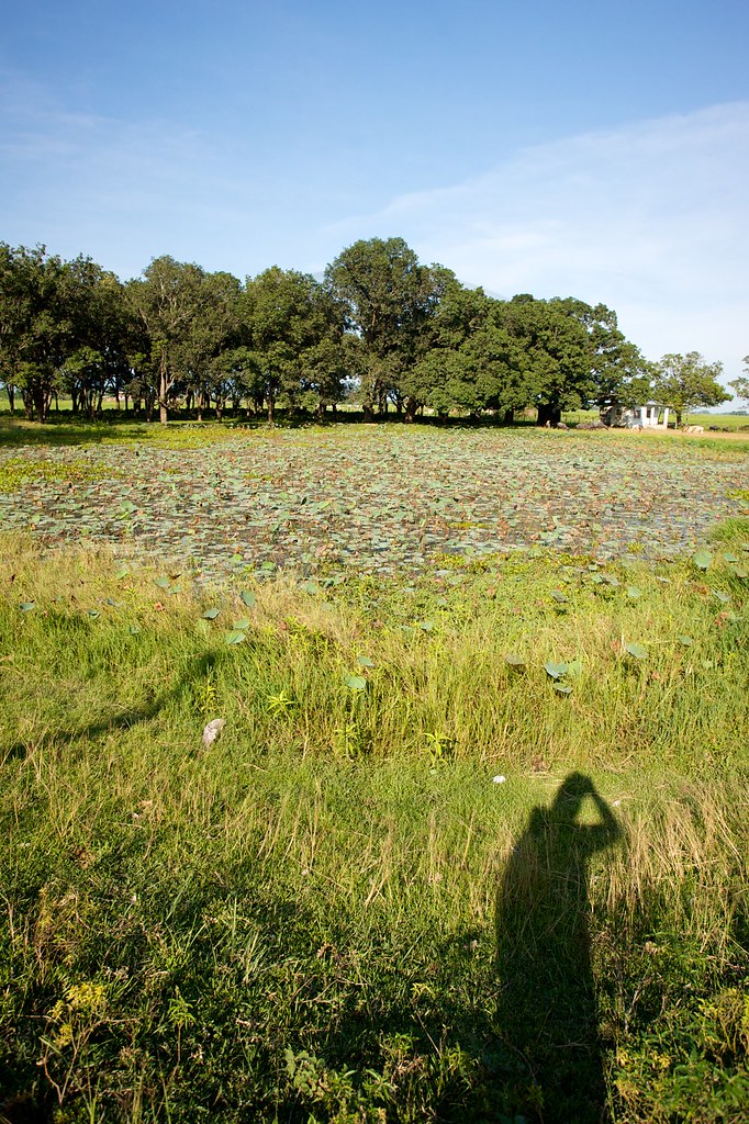
080920-029
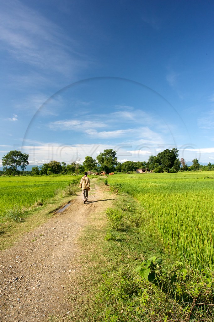
080920-017
Dans les champs
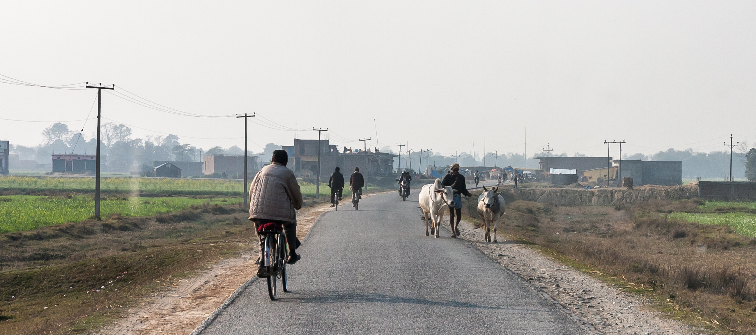
Tut ! Tut !
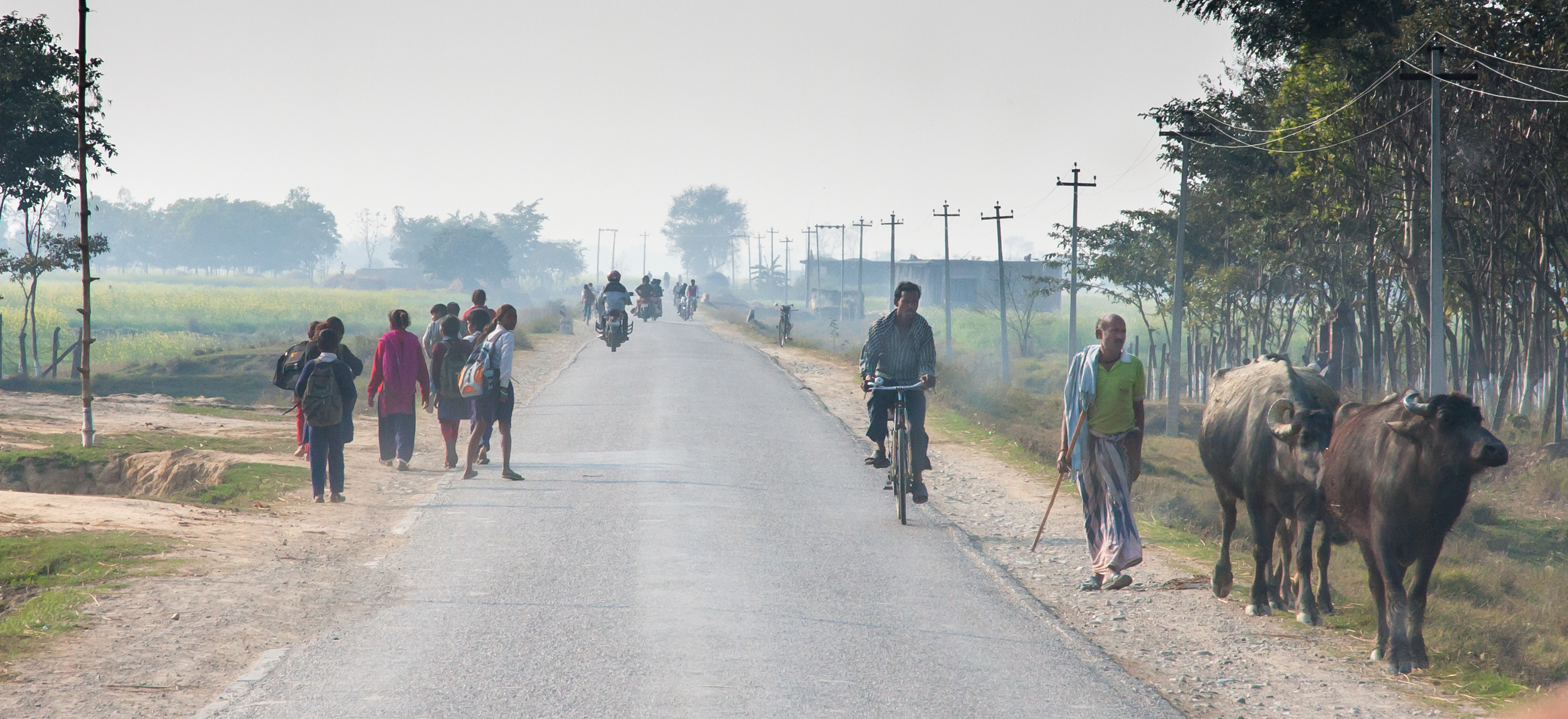
Sur la route
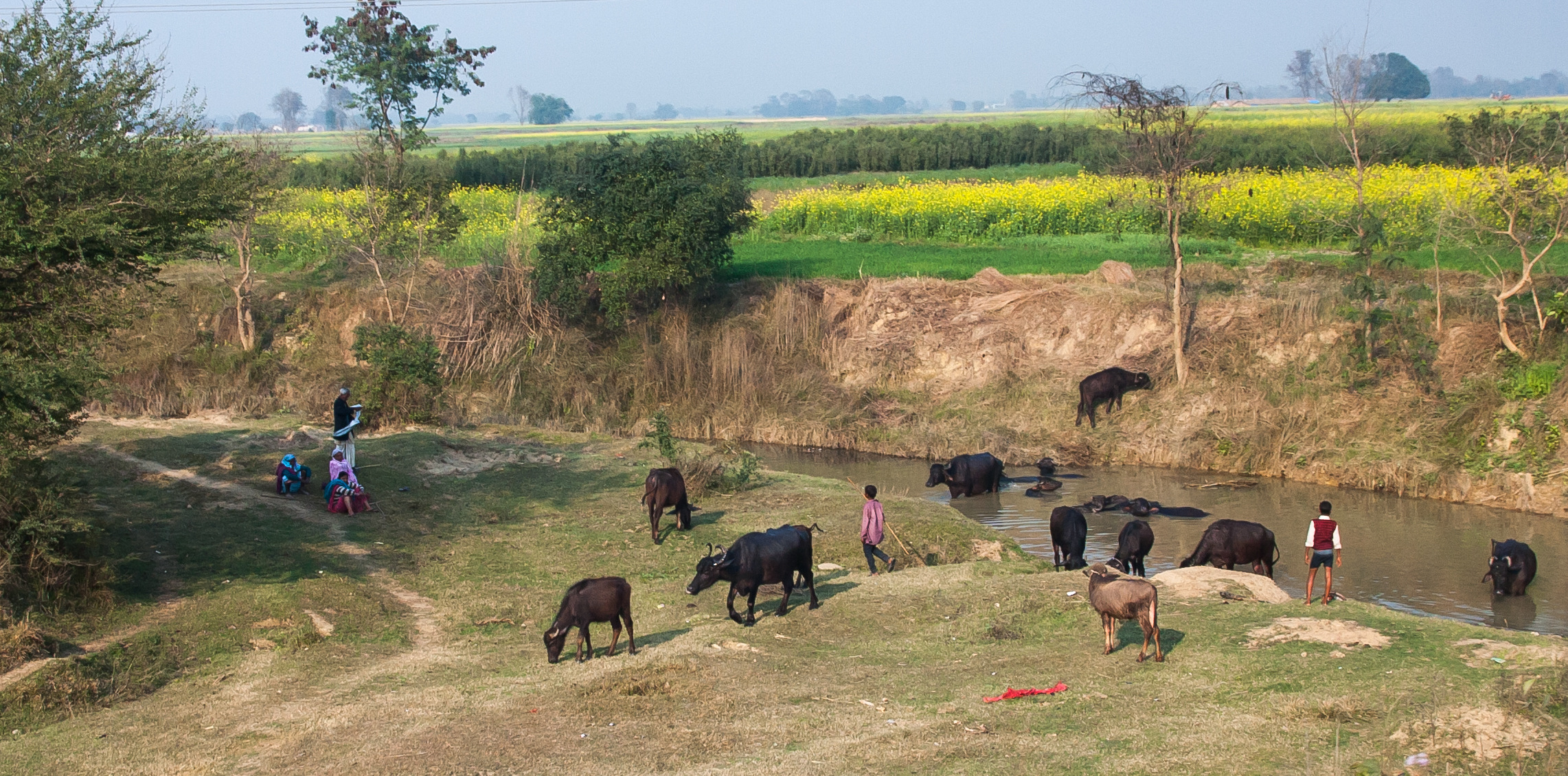
Au bain !
Sur la route
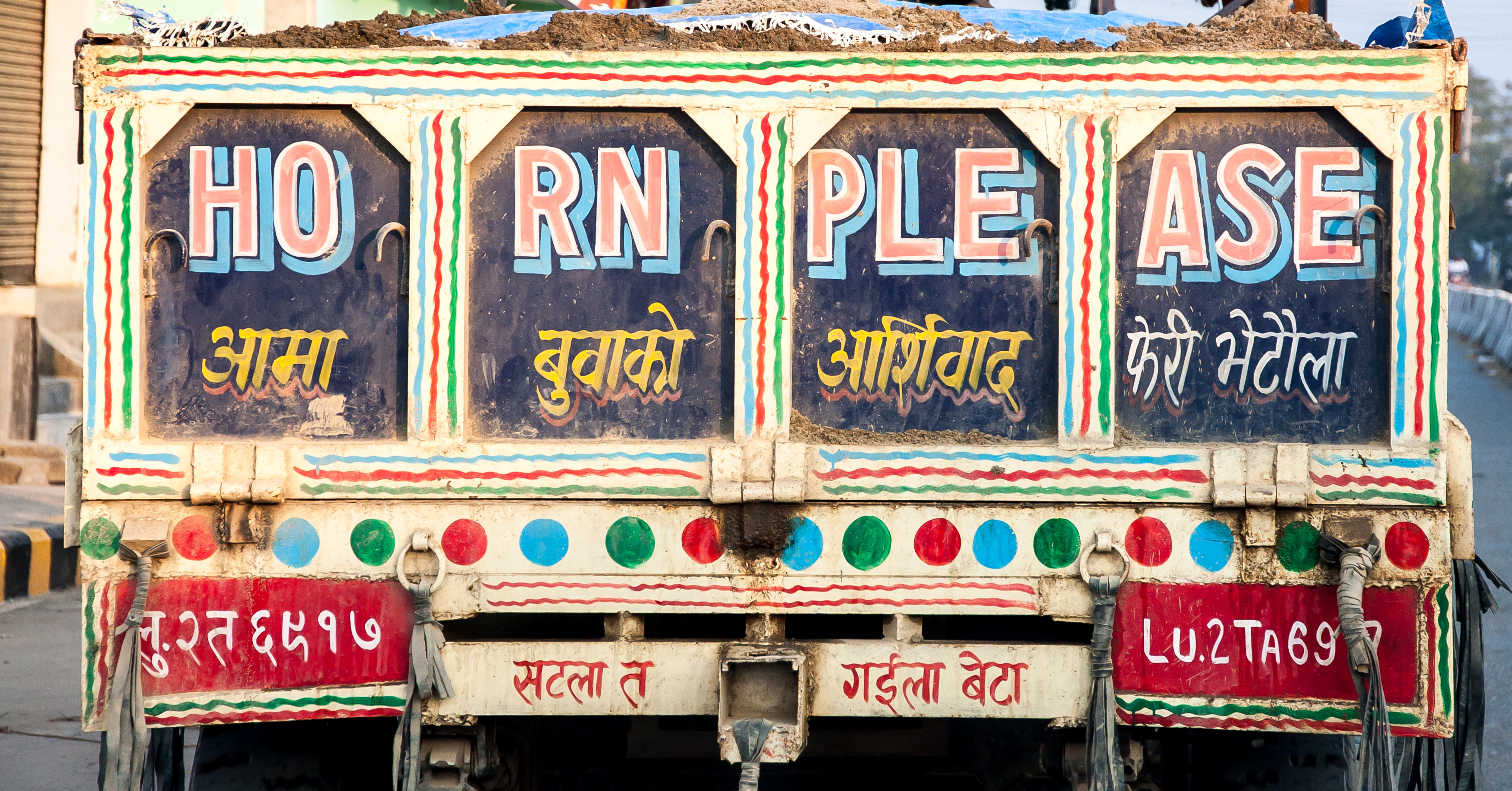
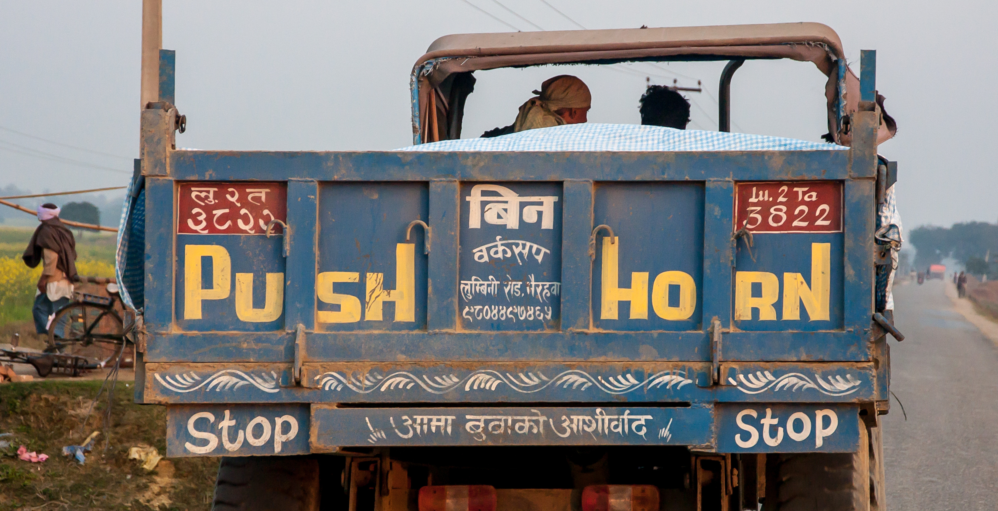
Arrière de camion

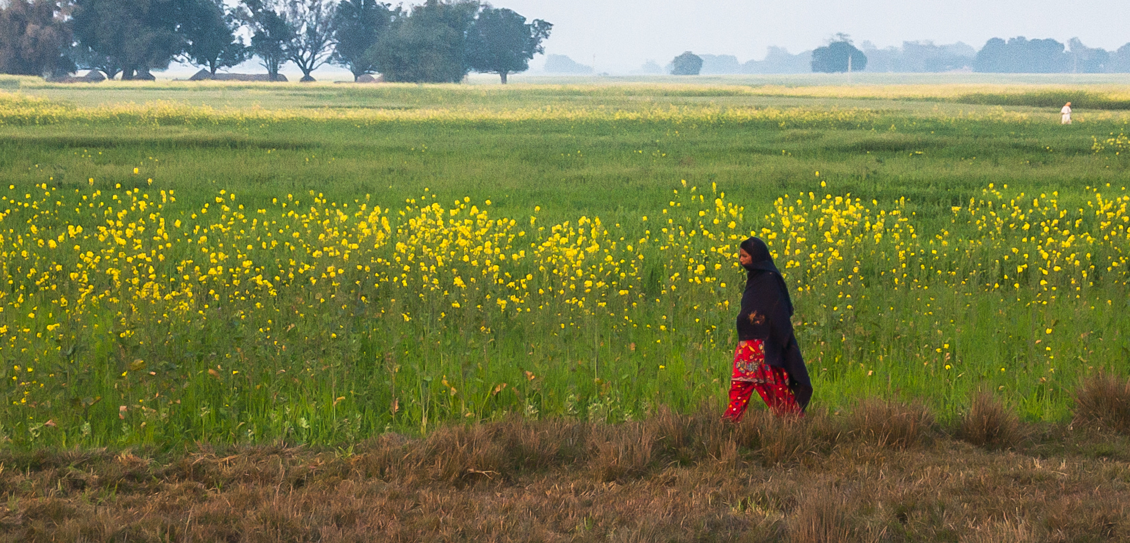
20130211-WX1-068
20130211-iPhone3GS-003

20130211-iPhone3GS-005
20130211-iPhone3GS-006

20130211-iPhone3GS-007
20130211-iPhone3GS-008
20130211-iPhone3GS-009
20130211-iPhone3GS-012
120717-LumbiniZone-031to036
120717-LumbiniZone-062

080920-015
080920-021

080920-022
Topographic Map of Kapilvastu, Nepal
Find elevation by address:

Places near Kapilvastu, Nepal:
Piprahawa
Ganges
Palta Devi
Lumbini
Lumbini Sanskritik
Rupandehi
Sauraha Pharsatikar
Siddharthanagar
Shiva Flex Printing Parsahawa Marchawar
Butwal
Nuwakot
Sandhikharka
Sonauli
India Nepal Border, Sonauli
Chutrabesi
Arghakhanchi
Milan Chowk
Butwal Bus Park
Balkot
Golpark
Recent Searches:
- Elevation of Corso Fratelli Cairoli, 35, Macerata MC, Italy
- Elevation of Tallevast Rd, Sarasota, FL, USA
- Elevation of 4th St E, Sonoma, CA, USA
- Elevation of Black Hollow Rd, Pennsdale, PA, USA
- Elevation of Oakland Ave, Williamsport, PA, USA
- Elevation of Pedrógão Grande, Portugal
- Elevation of Klee Dr, Martinsburg, WV, USA
- Elevation of Via Roma, Pieranica CR, Italy
- Elevation of Tavkvetili Mountain, Georgia
- Elevation of Hartfords Bluff Cir, Mt Pleasant, SC, USA