Elevation of Sanford, ME, USA
Location: United States > Maine > York County > Sanford > Sanford > South Sanford >
Longitude: -70.735661
Latitude: 43.415378
Elevation: 73m / 240feet
Barometric Pressure: 100KPa
Elevation Map:
Satellite Map:
Related Photos:

Slow Boat to.....Cynthia at Estes Lake
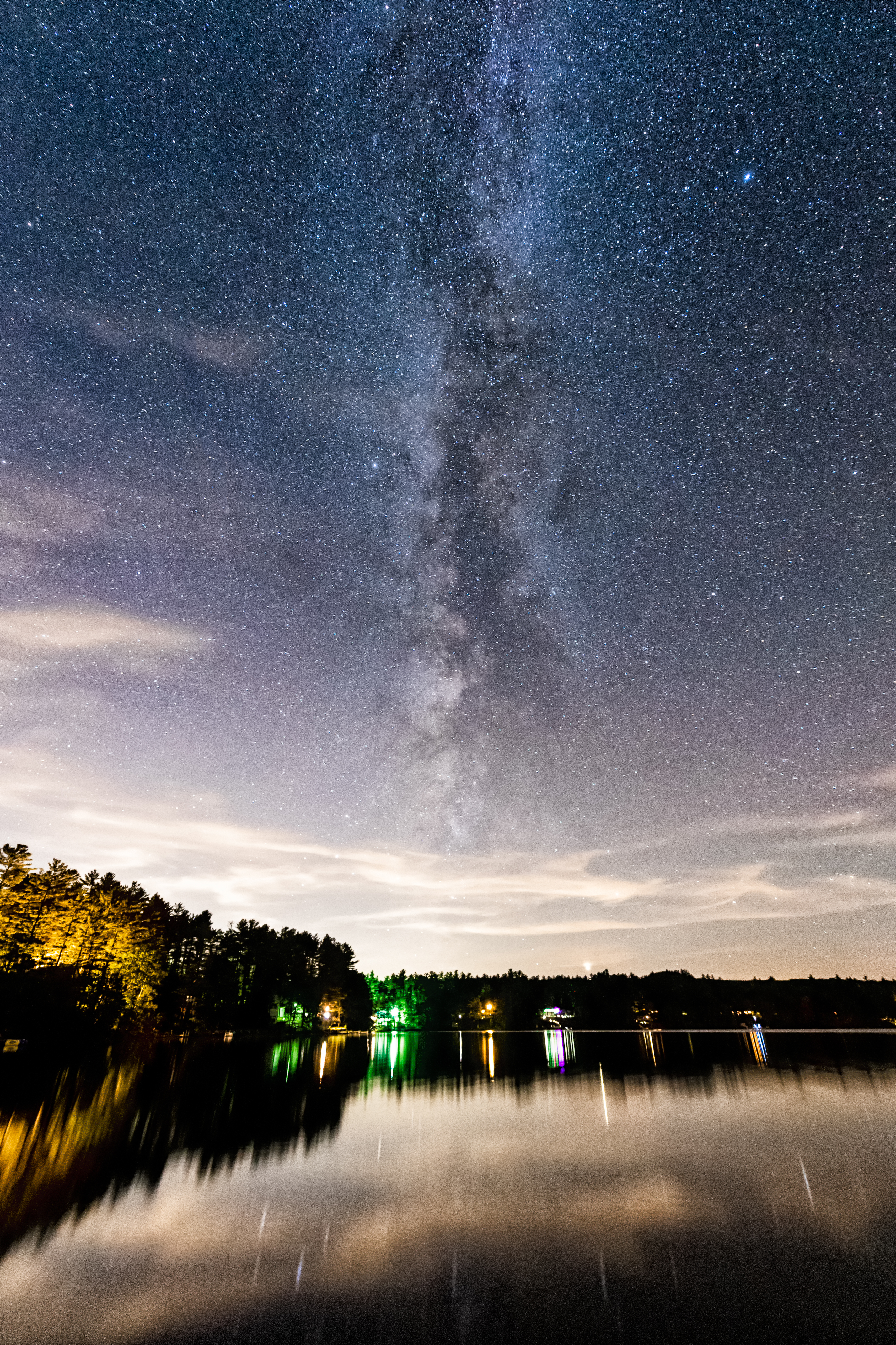
Milky Way Vertical View

Gasoline Station II

Gore Rd barn

Where Clouds and Snow Meet b&w

Another view.

Snowy Serenity

NBLC from Elm Street

NBLC from across the street on Customer Appreciation Day

Rt 202 stone bridge

In the Clouds

♥ ♥ ♥

Frozen Falls

Snowy Morning at Goodall Mansion

Ice formation

UW_Day_of_Caring_2009-01

view across mousam

Rufus Allen

morning view from hospital hill

Kennebunk Rd dam

Two Old Houses II
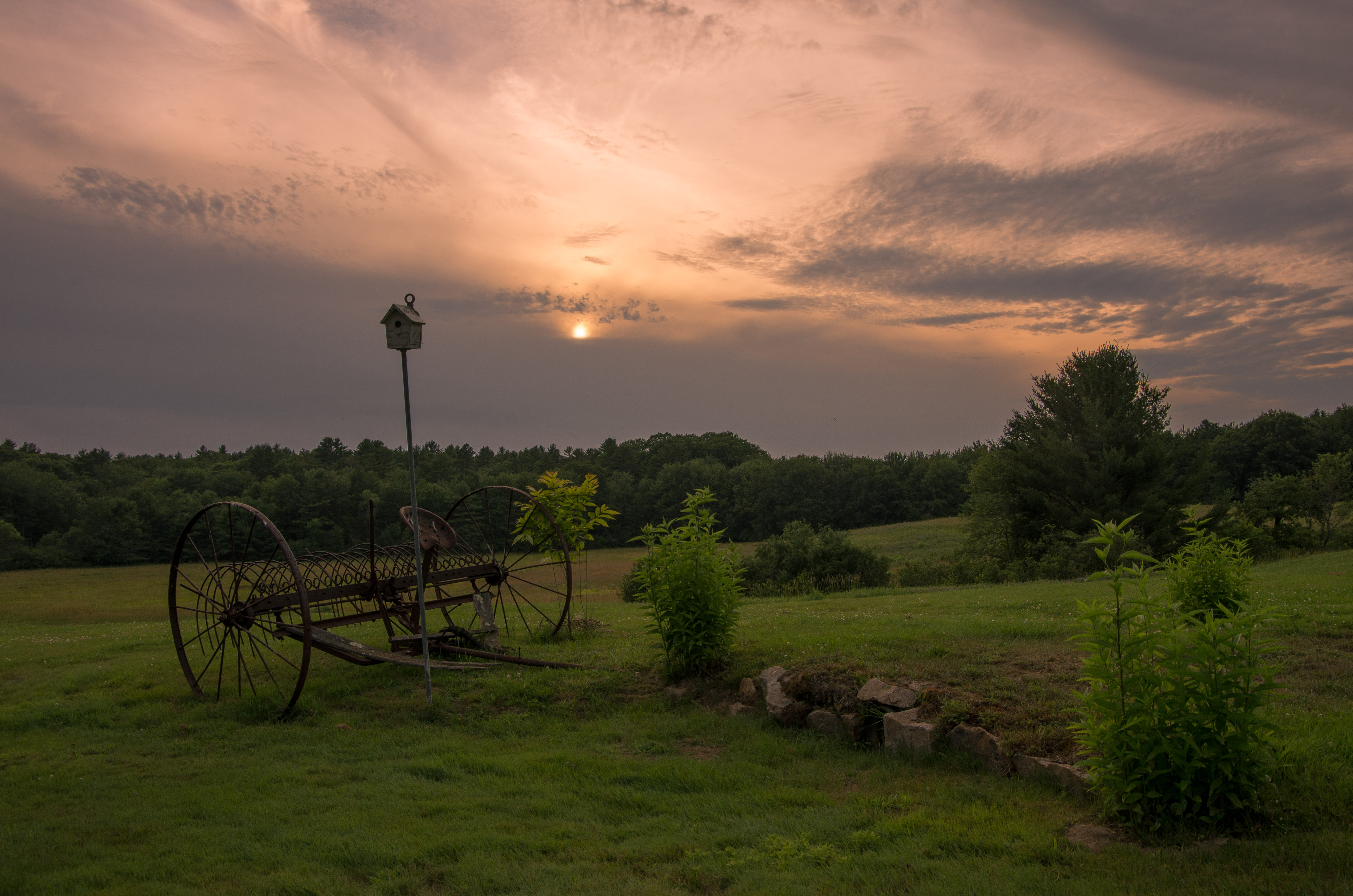
Green Field at Sunset

Wave [Explore Aug 14, 2016]

Signs of Spring [Explore Sept 22, 2014]

Autumn on the Plains

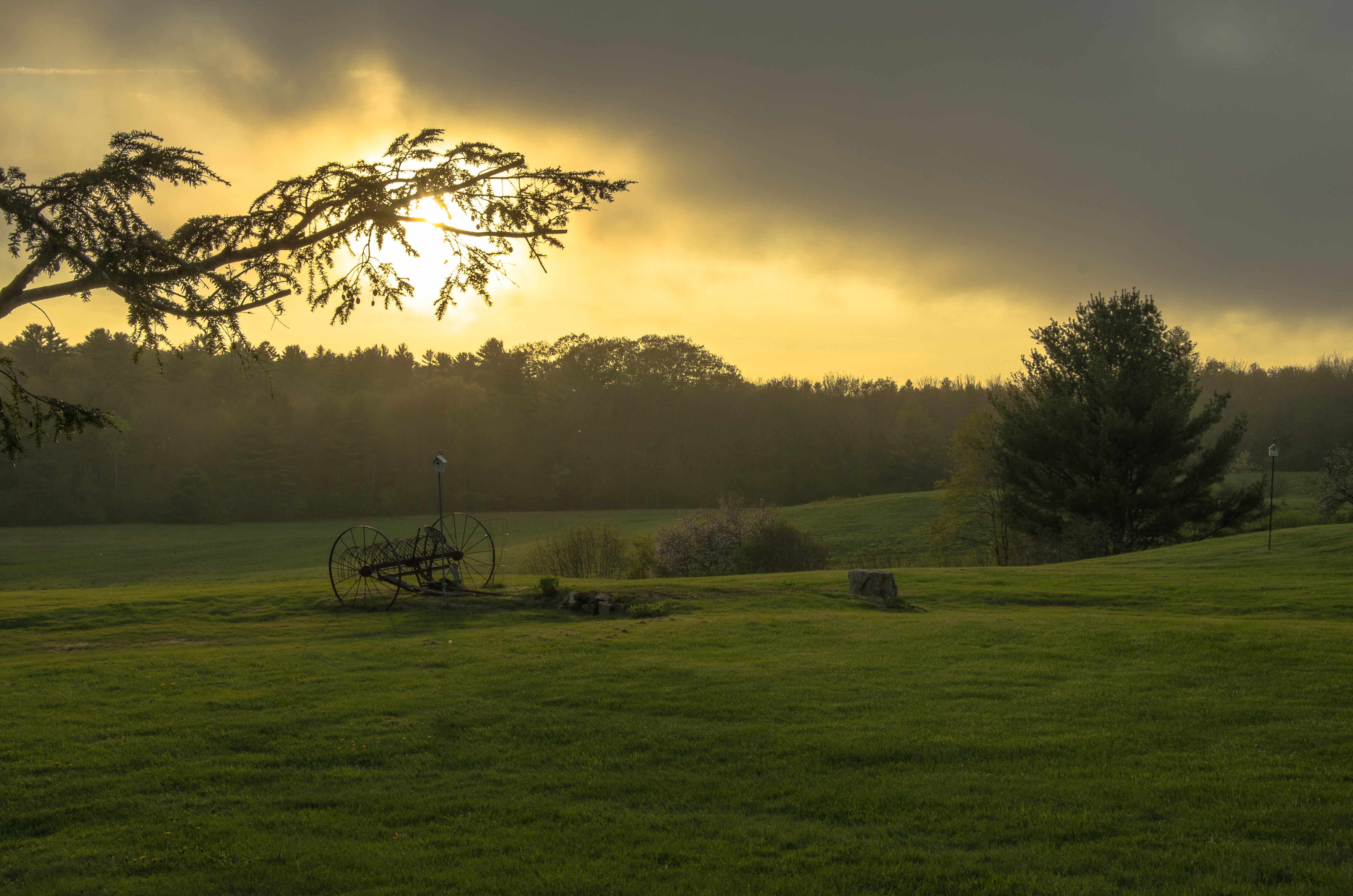
Spring Evening

Peninsula and Jet Ski

Loon Pond Shoreline

Twilight on the Pond

New England Marathon Series - Day 1
Across the Field

Two Trees

Birches at Dusk

Not so far afield

Just a Moment

Savannah Sparrow - Passerculus sandwichensis

Lank Farm in Fog

Prairie Warbler

Storm Front

Reflected Cotton Balls

Spring Light
Topographic Map of Sanford, ME, USA
Find elevation by address:

Places near Sanford, ME, USA:
South Sanford
1730 Main St
Old Mill Road
Sanford
Sunny Lane
57 Oak Hill Rd
Bauneg Beg Mountain
315 Bauneg Beg Hill Rd
York County
262 Boyle Rd
66 Bauneg Beg Hill Rd, North Berwick, ME, USA
98 Fox Ridge Dr
75 Fox Ridge Dr
91 Fox Ridge Dr
45 Glenwood Rd
Turkey Street
593 Bald Hill Rd
North Berwick
79 Clark Rd
North Berwick
Recent Searches:
- Elevation of Corso Fratelli Cairoli, 35, Macerata MC, Italy
- Elevation of Tallevast Rd, Sarasota, FL, USA
- Elevation of 4th St E, Sonoma, CA, USA
- Elevation of Black Hollow Rd, Pennsdale, PA, USA
- Elevation of Oakland Ave, Williamsport, PA, USA
- Elevation of Pedrógão Grande, Portugal
- Elevation of Klee Dr, Martinsburg, WV, USA
- Elevation of Via Roma, Pieranica CR, Italy
- Elevation of Tavkvetili Mountain, Georgia
- Elevation of Hartfords Bluff Cir, Mt Pleasant, SC, USA