Elevation of Sandy Beach Rd, Park Falls, WI, USA
Location: United States > Wisconsin > Iron County > Sherman >
Longitude: -89.960705
Latitude: 46.090957
Elevation: 485m / 1591feet
Barometric Pressure: 0KPa
Related Photos:
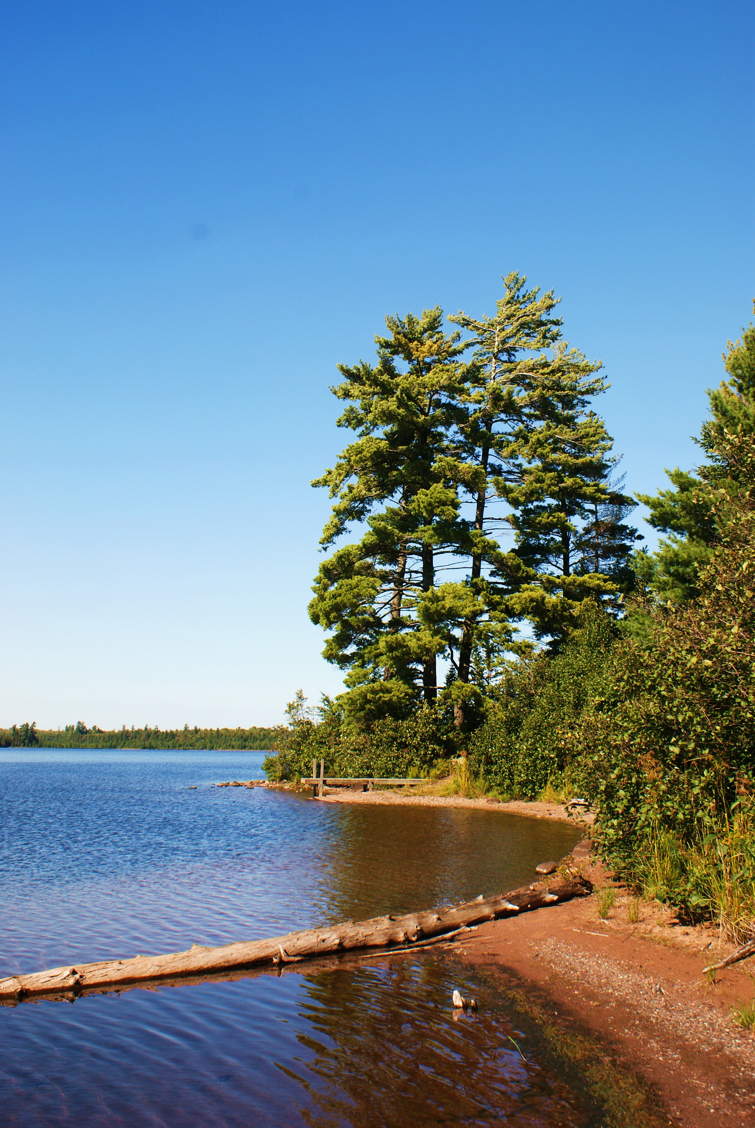
tree on the shore
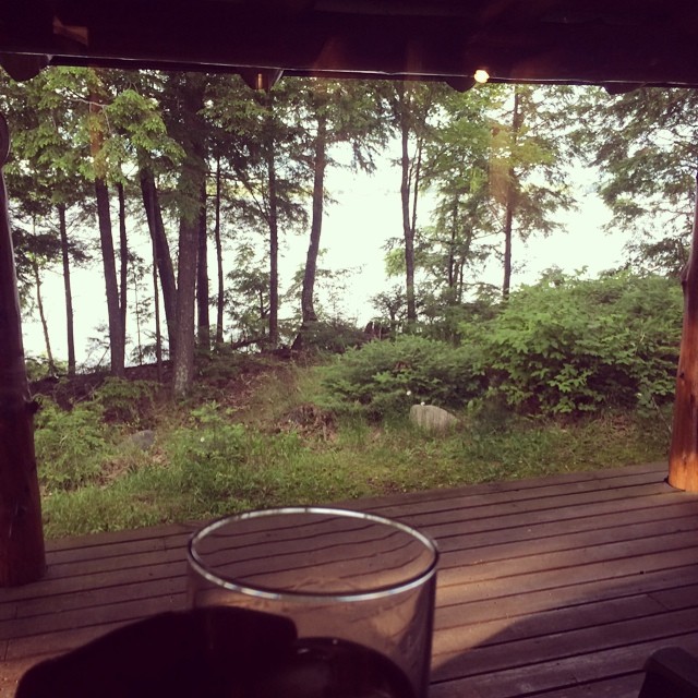
Tonight's first #viewfrommywhiskey is also the view from my cabin in northern WI for the next 6 days.

The Enchanted Forest
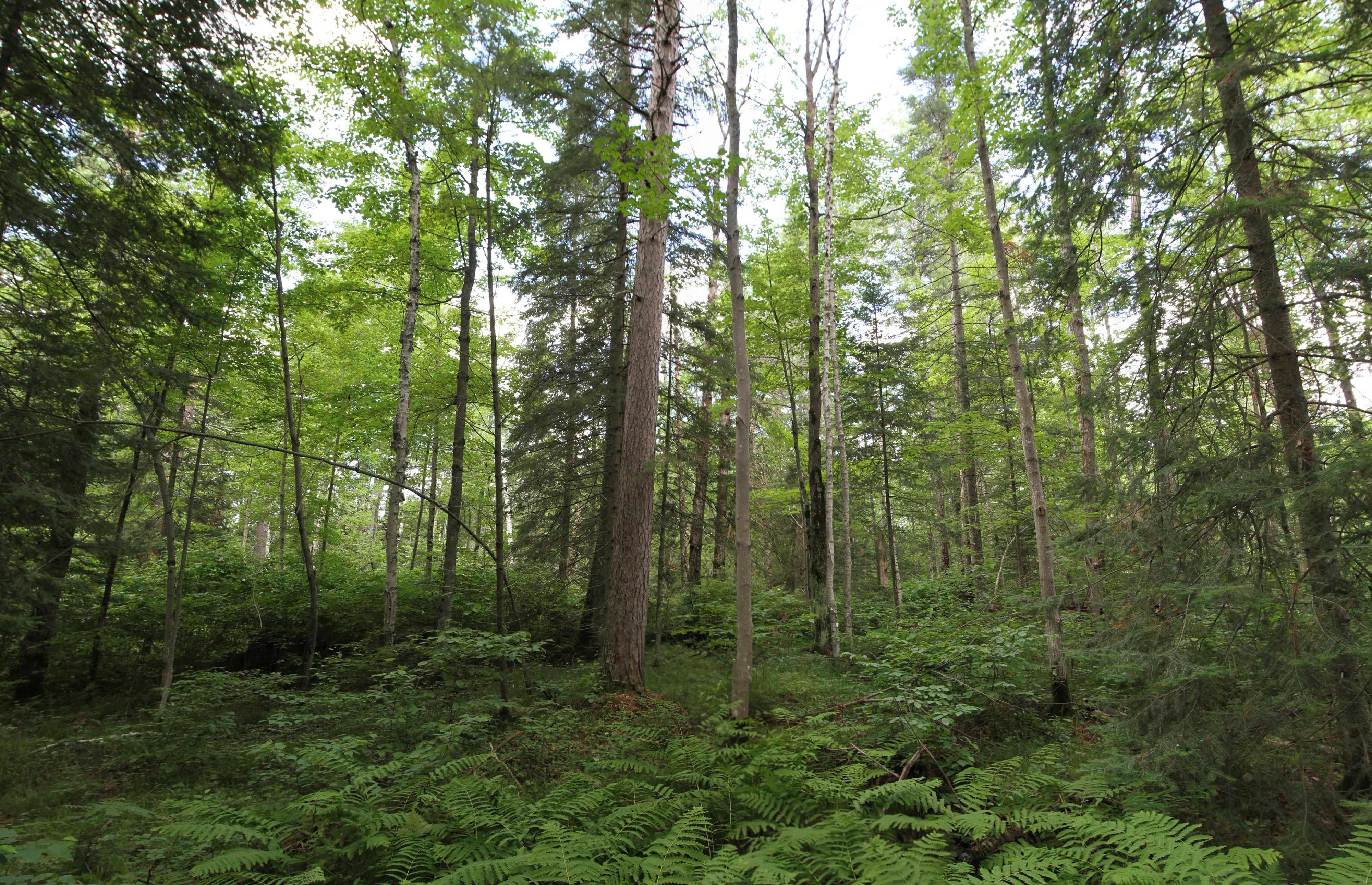
wide angle view of forest

Crashed out

Lac du Flambeau, WI, Dillman's Resort, Yellow Blooms

late day sun on the shore
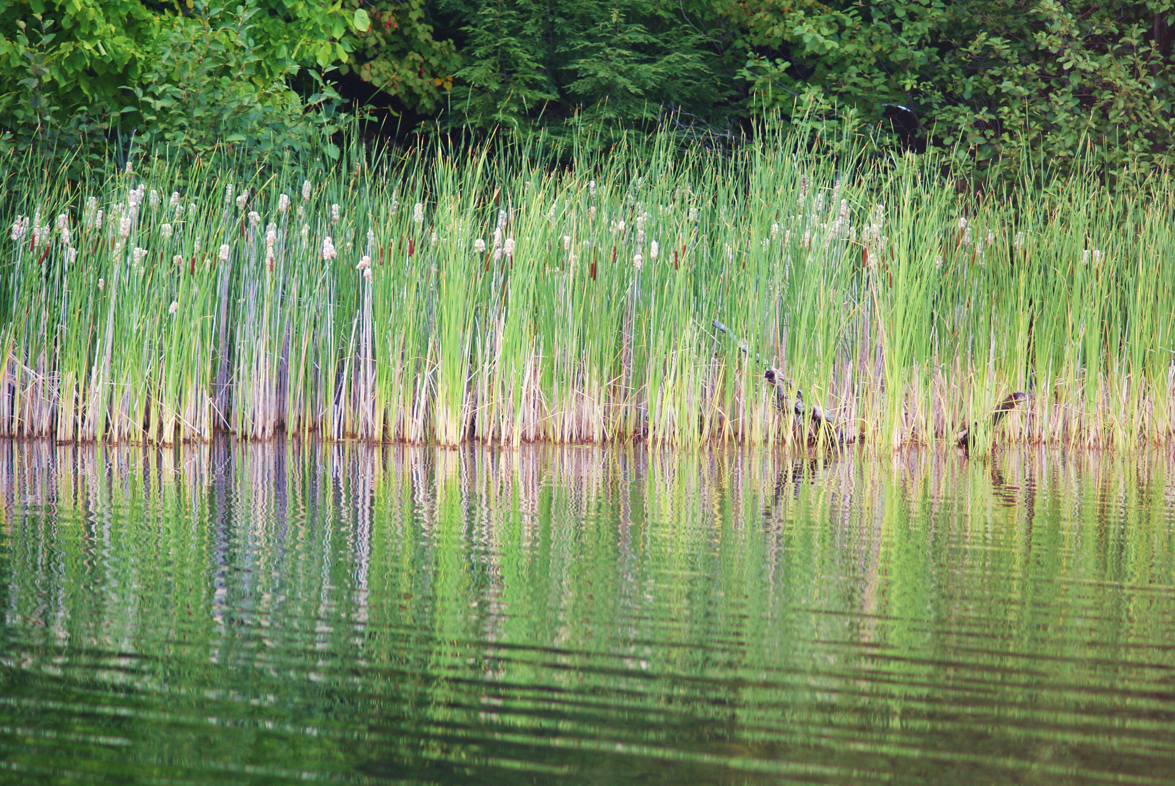
reflections of reeds
Beautiful Rocky Rapids

Atlantis Fritillary (Speyeria atlantis)

Wild Daisies
Turtle Creek
Deer Lake
My Happy Place

DSCF4443.jpg

DSCF3847.jpg

DSCF9160.jpg

Bass Lake Preserve State Natural Area
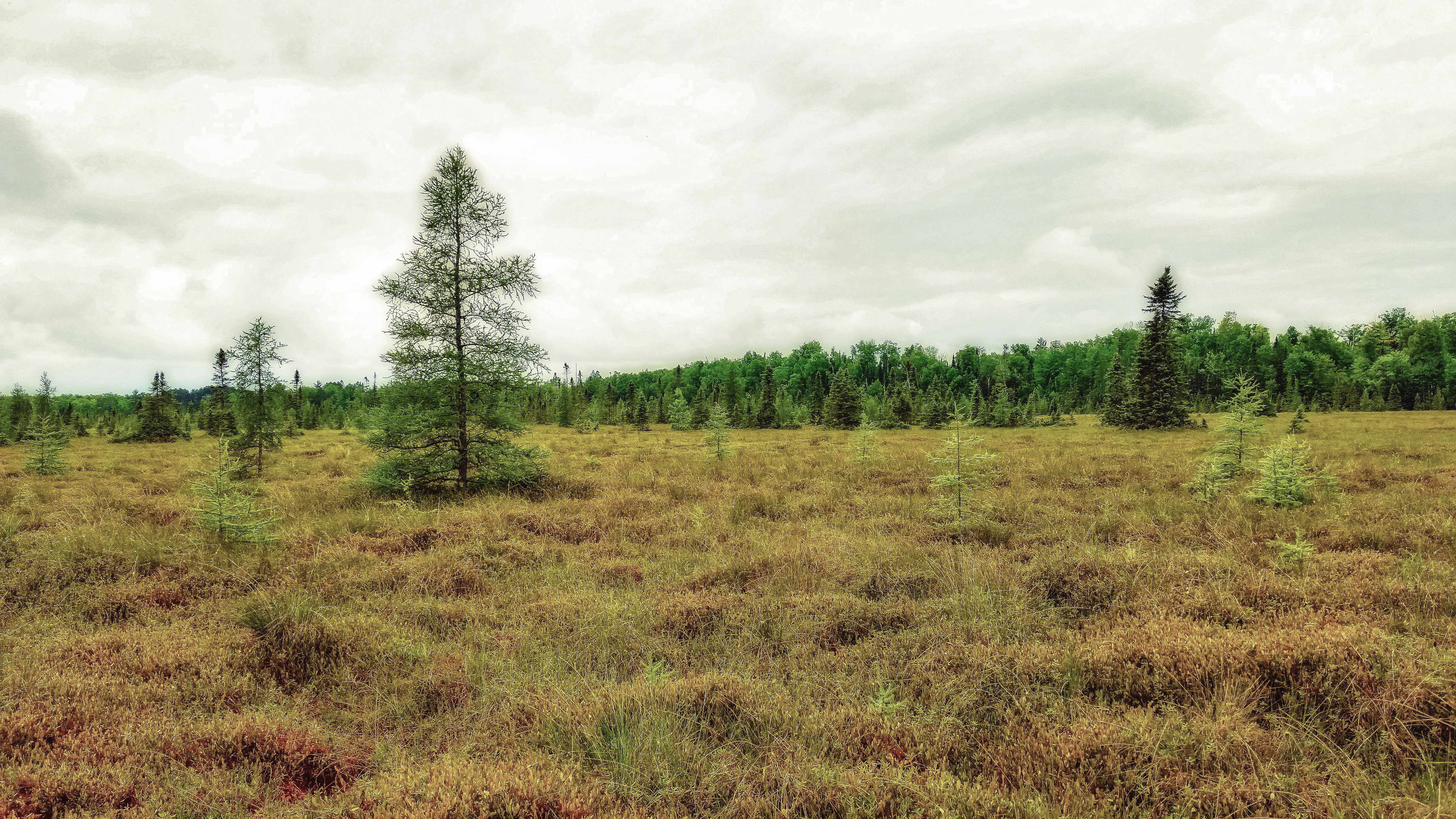
Springstead Muskeg State Natural Area

Bass Lake Preserve State Natural Area
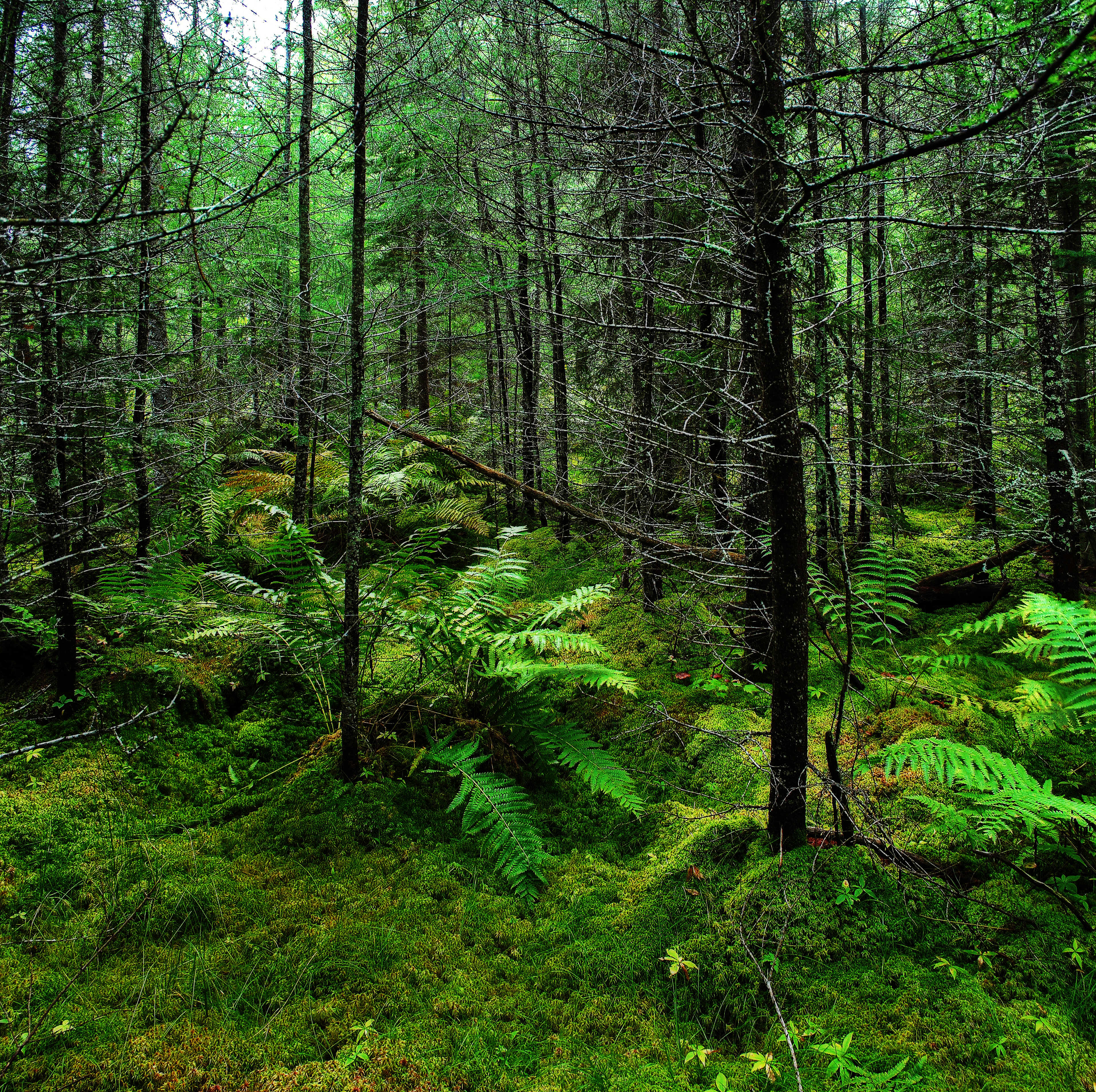
Bass Lake Preserve State Natural Area
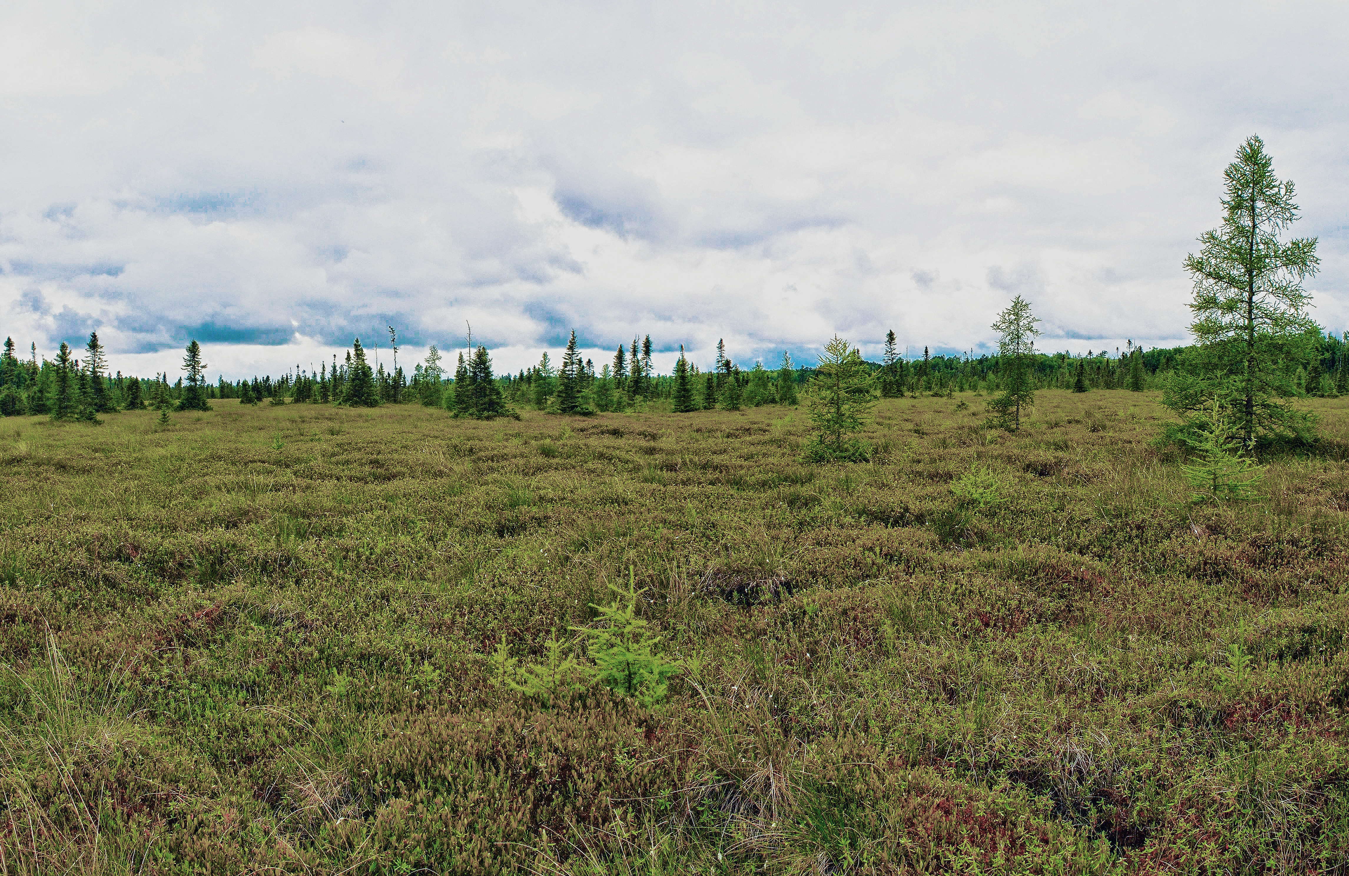
Springstead Muskeg State Natural Area

Favil Lake

DSCF9350.jpg
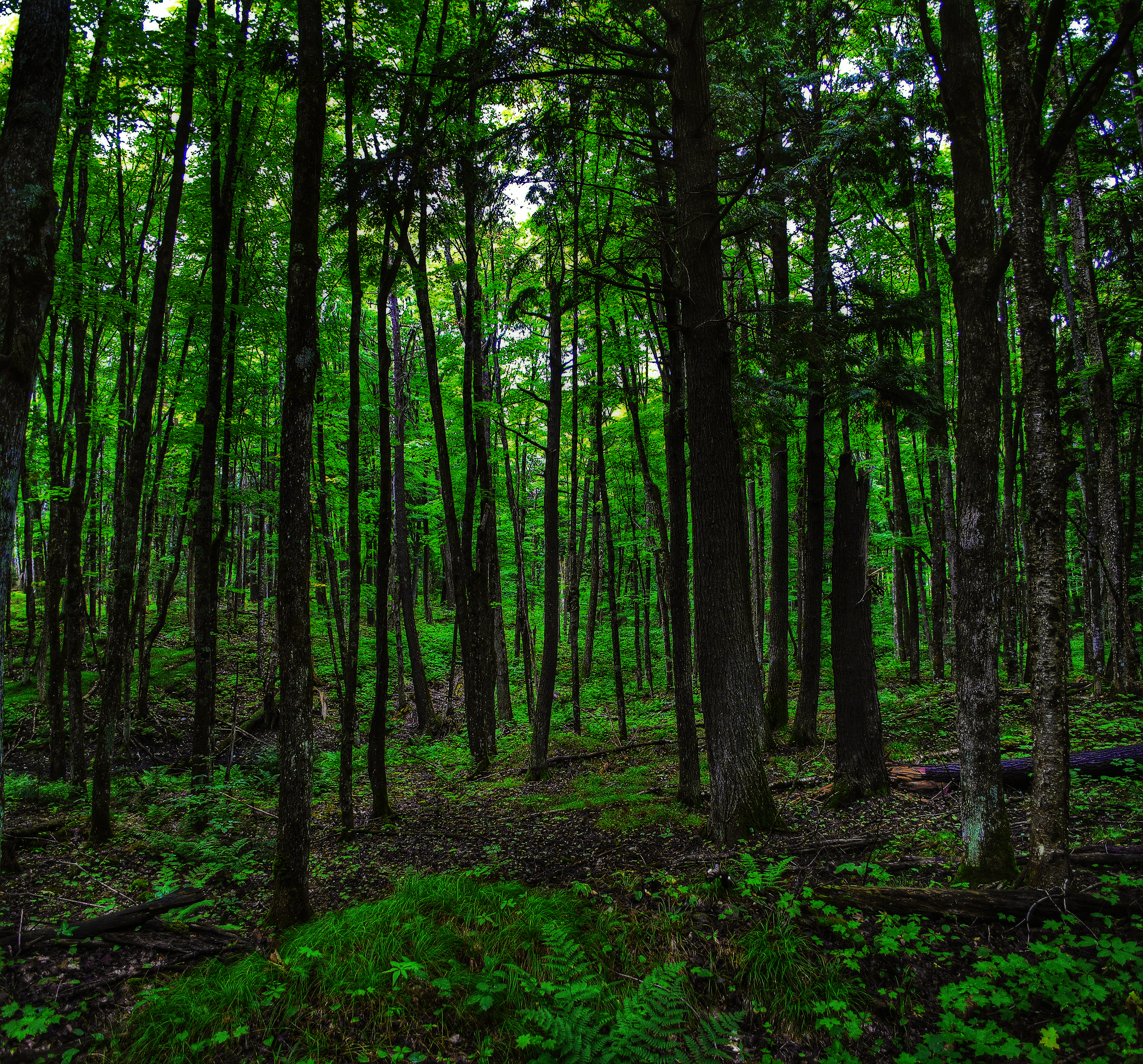
Bass Lake Preserve State Natural Area

IMG_6532.jpg

_F5A4192.jpg
Topographic Map of Sandy Beach Rd, Park Falls, WI, USA
Find elevation by address:

Places near Sandy Beach Rd, Park Falls, WI, USA:
Peace Pipe Ln, Lac Du Flambeau, WI, USA
Lac Du Flambeau
Woodtick Lane
Lac Du Flambeau
Frying Pan Camp Ln, Minocqua, WI, USA
County Highway H
Hewitt Road
Winegar Road
Presque Isle
Main St, Presque Isle, WI, USA
Presque Isle
Bessemer Township
Boulder Junction
Minocqua
Boulder Junction Town Hall
Woodruff
Oneida St, Minocqua, WI, USA
Minocqua
Little Oxbow Lake
Big Arbor Vitae Dr, Woodruff, WI, USA
Recent Searches:
- Elevation of Pasing, Munich, Bavaria, 81241, Germany
- Elevation of 24, Auburn Bay Crescent SE, Auburn Bay, Calgary, Alberta, T3M 0A6, Canada
- Elevation of Denver, 2314, Arapahoe Street, Five Points, Denver, Colorado, 80205, USA
- Elevation of Community of the Beatitudes, 2924, West 43rd Avenue, Sunnyside, Denver, Colorado, 80211, USA
- Elevation map of Litang County, Sichuan, China
- Elevation map of Madoi County, Qinghai, China
- Elevation of 3314, Ohio State Route 114, Payne, Paulding County, Ohio, 45880, USA
- Elevation of Sarahills Drive, Saratoga, Santa Clara County, California, 95070, USA
- Elevation of Town of Bombay, Franklin County, New York, USA
- Elevation of 9, Convent Lane, Center Moriches, Suffolk County, New York, 11934, USA
- Elevation of Saint Angelas Convent, 9, Convent Lane, Center Moriches, Suffolk County, New York, 11934, USA
- Elevation of 131st Street Southwest, Mukilteo, Snohomish County, Washington, 98275, USA
- Elevation of 304, Harrison Road, Naples, Cumberland County, Maine, 04055, USA
- Elevation of 2362, Timber Ridge Road, Harrisburg, Cabarrus County, North Carolina, 28075, USA
- Elevation of Ridge Road, Marshalltown, Marshall County, Iowa, 50158, USA
- Elevation of 2459, Misty Shadows Drive, Pigeon Forge, Sevier County, Tennessee, 37862, USA
- Elevation of 8043, Brightwater Way, Spring Hill, Williamson County, Tennessee, 37179, USA
- Elevation of Starkweather Road, San Luis, Costilla County, Colorado, 81152, USA
- Elevation of 5277, Woodside Drive, Baton Rouge, East Baton Rouge Parish, Louisiana, 70808, USA
- Elevation of 1139, Curtin Street, Shepherd Park Plaza, Houston, Harris County, Texas, 77018, USA