Elevation of San Rafael, NM, USA
Location: United States > New Mexico > Cibola County >
Longitude: -107.88267
Latitude: 35.1125344
Elevation: 1972m / 6470feet
Barometric Pressure: 80KPa
Elevation Map:
Satellite Map:
Related Photos:
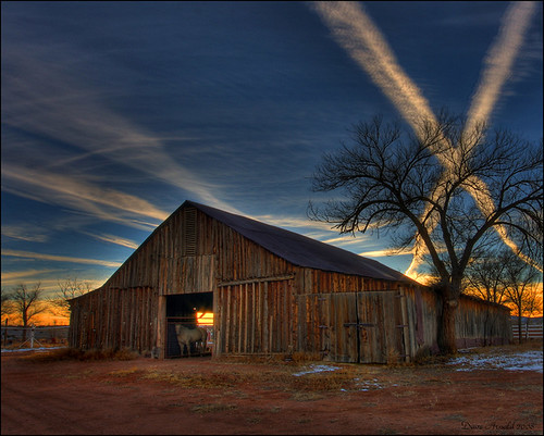
Gilbert's Barn
What to do on a lazy summer day
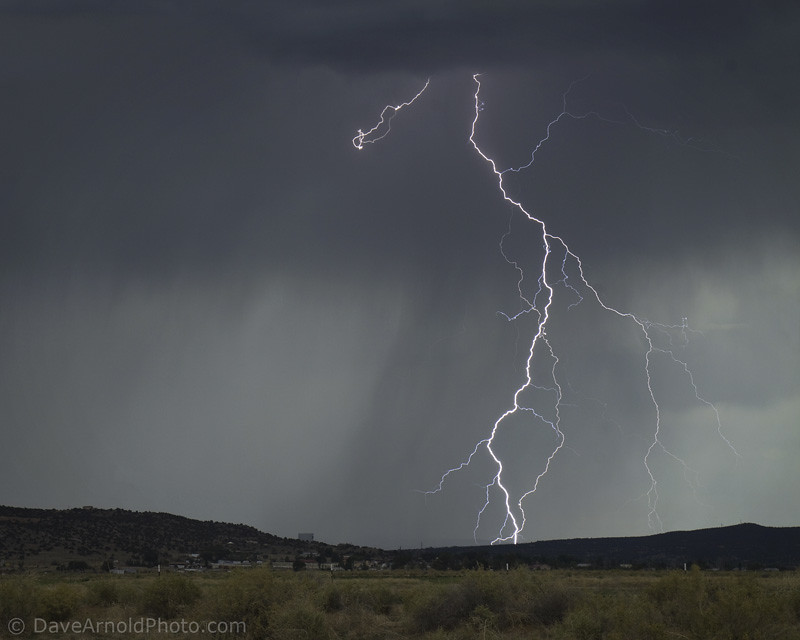
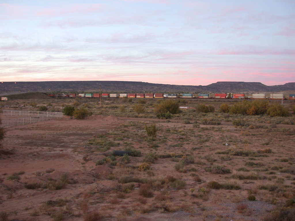
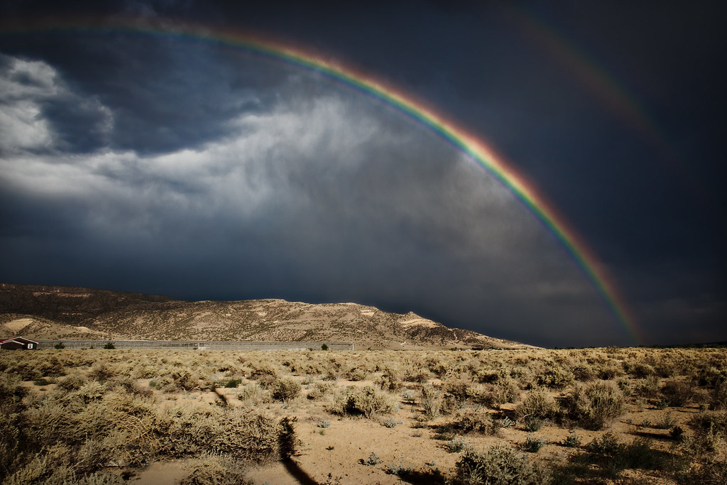
2011 Monsoons - Kissing cousins
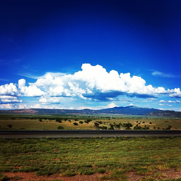
View of Bluffs and Buttes to the East from S.R. 53 South of Grants, New Mexico
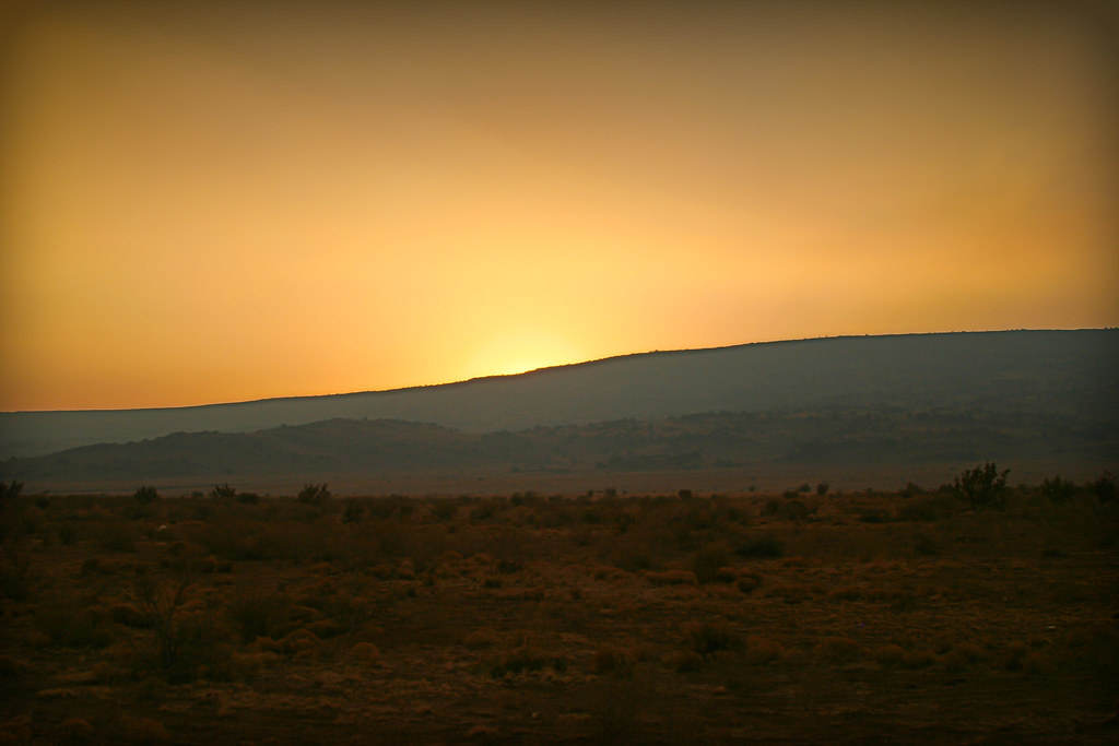
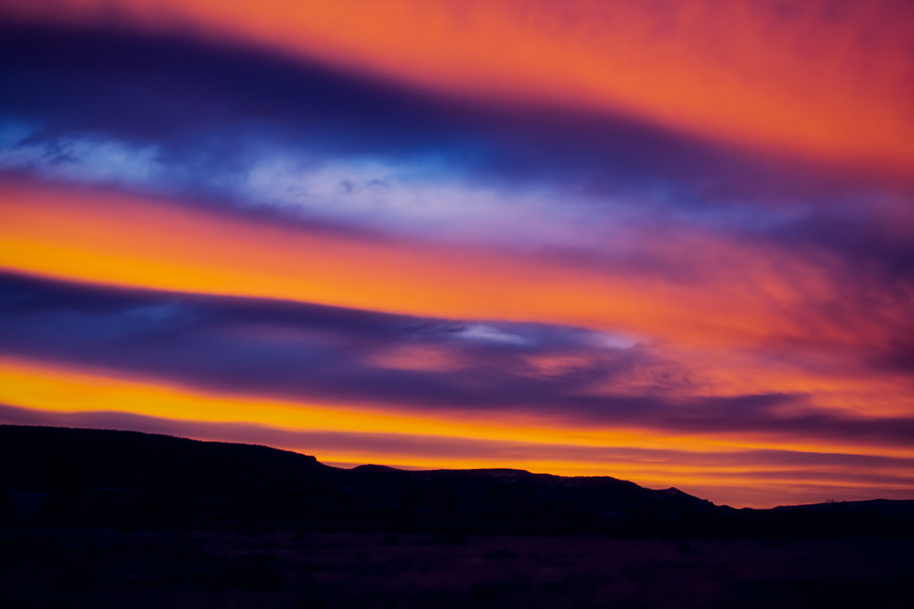
smokey sunset
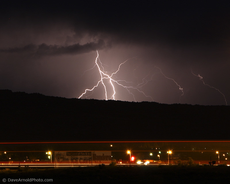
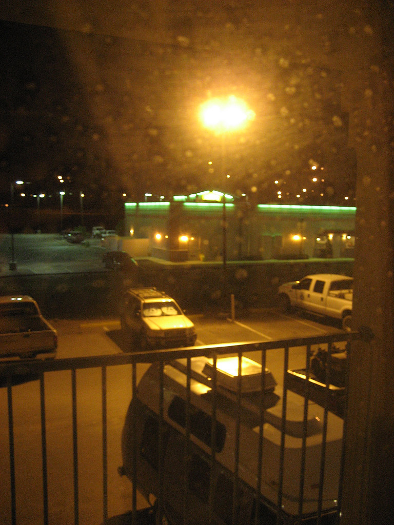
2010 Monsoons - Night traffic
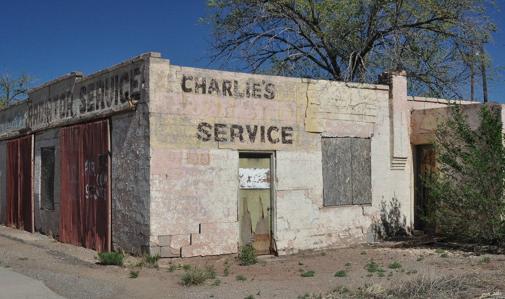
A Wider View Of Charlie's

Truck_071112_LR-96.jpg
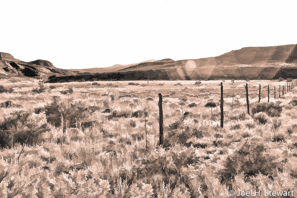
summer field
Grants View

Route 66 Signage: Street View, Lavaland Motel, now RV Park, Grants, NM
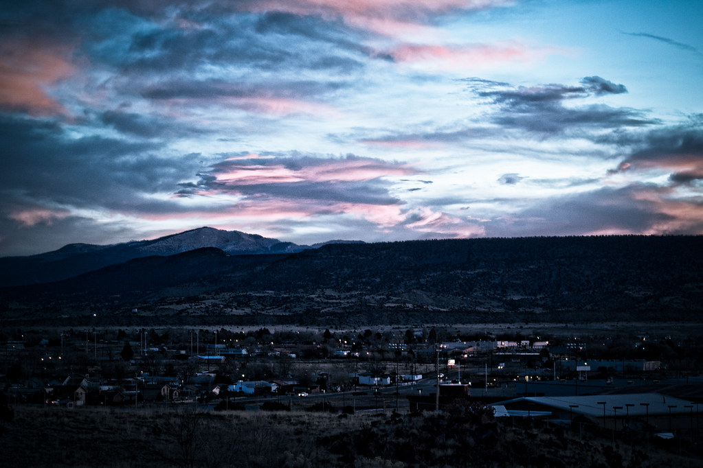
Sunset over Grants, NM

DSC_3117 (Copy)
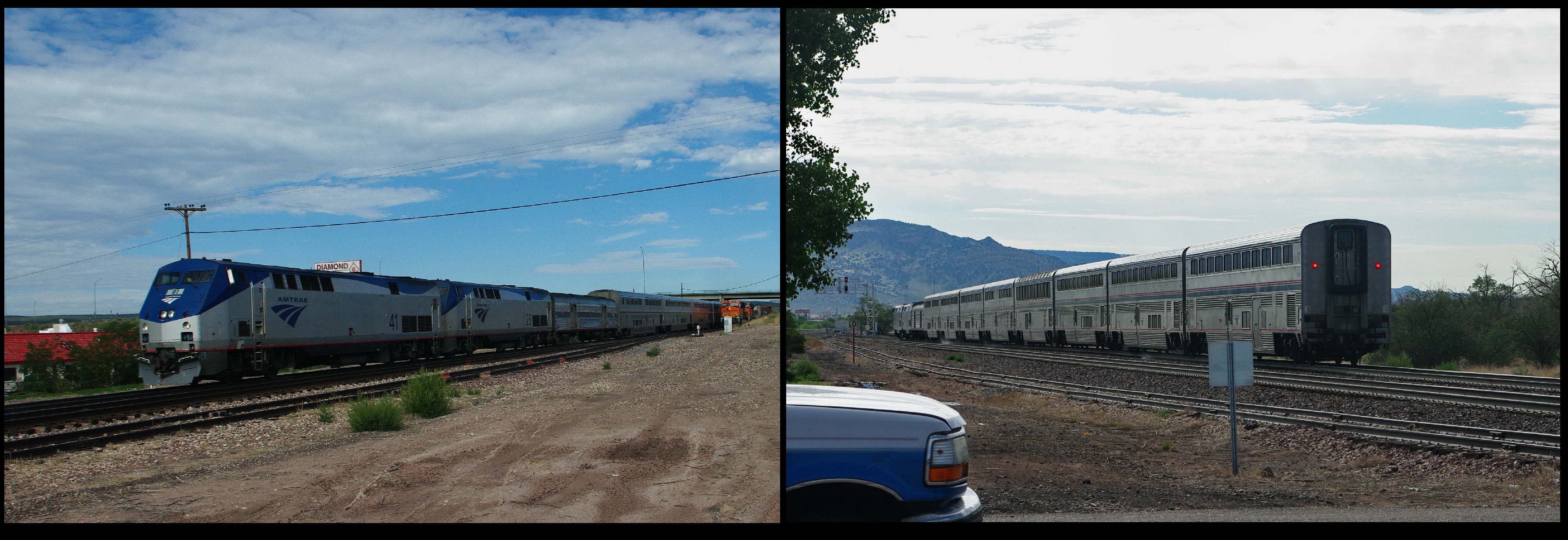
Amtrak Southwest Chief
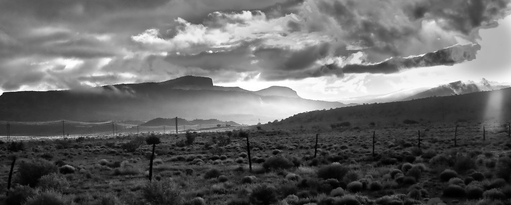
Mt. Taylor and Mesa (black and white)

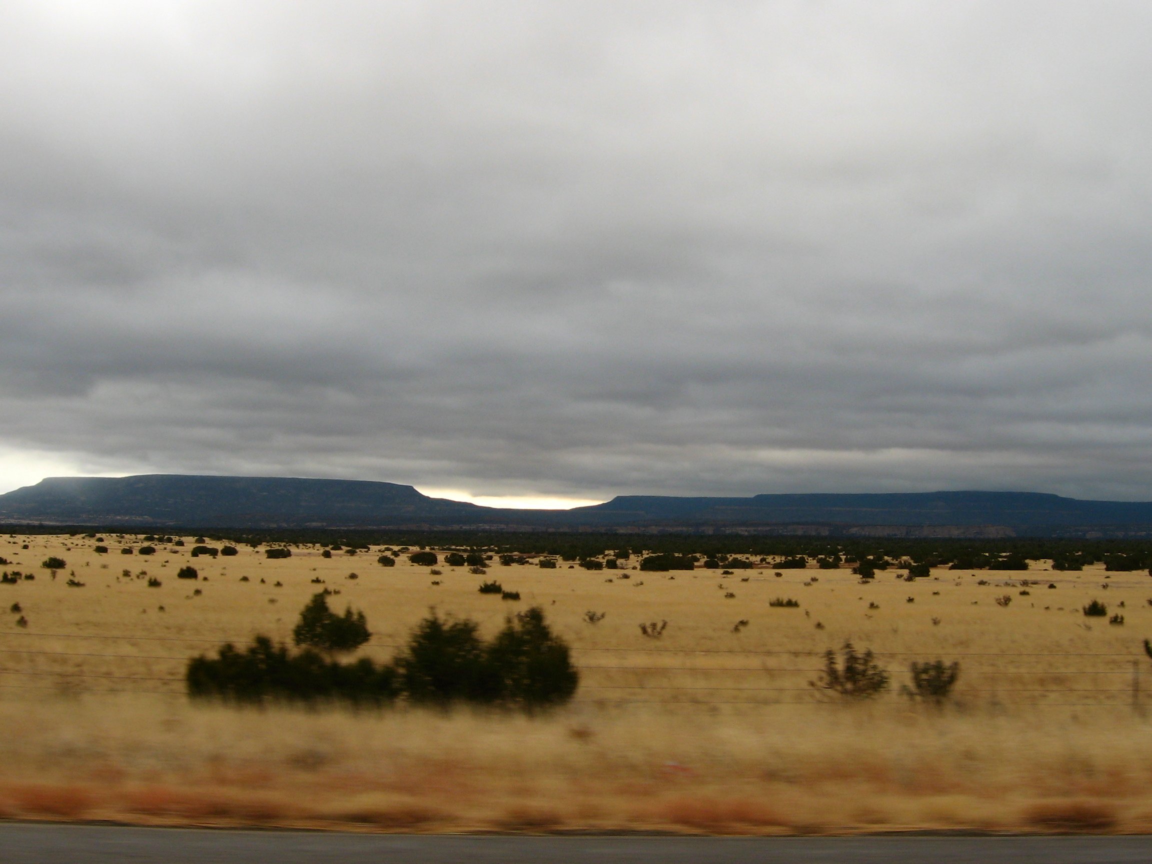
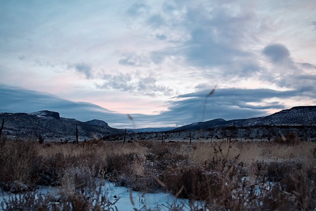
snow covered
trust [explored]
new mexico sunrise
september sunrise
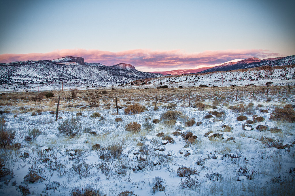
last snow of the year

Tour Divide 2013 day on day flashback. Somewhere near Grantts. #bikepacking #tourdivide #mtb #mountainbike #ot #landscape #grants #newmexico
Lame HDR
HDR Lame etc
El Malpais National Conservation Area
riverwalk fountain
It's time to get away. In need of a road trip. Soon. #roadtrip #ontheroadagain #malibuorbust Taken while driving through #bluewater #nm #newmexico
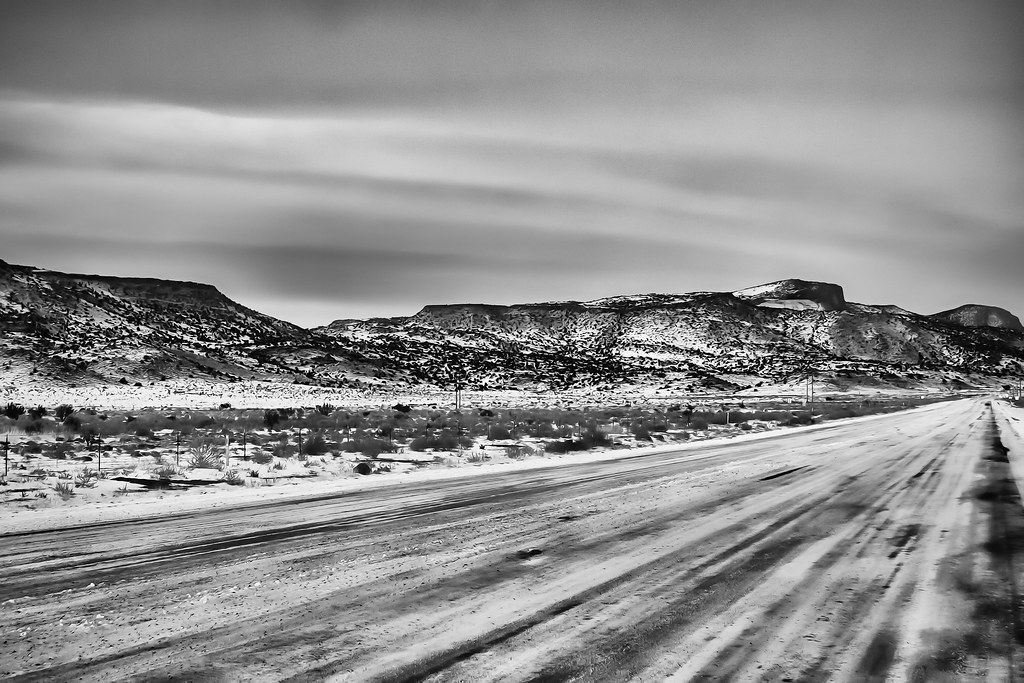
winter road (black & white)
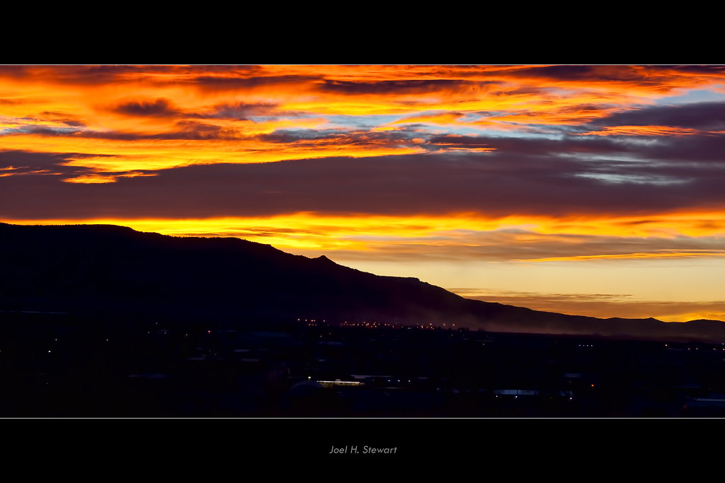
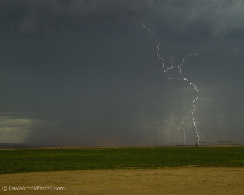
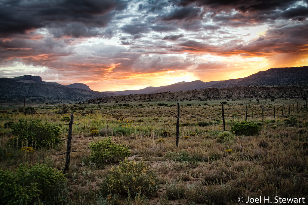
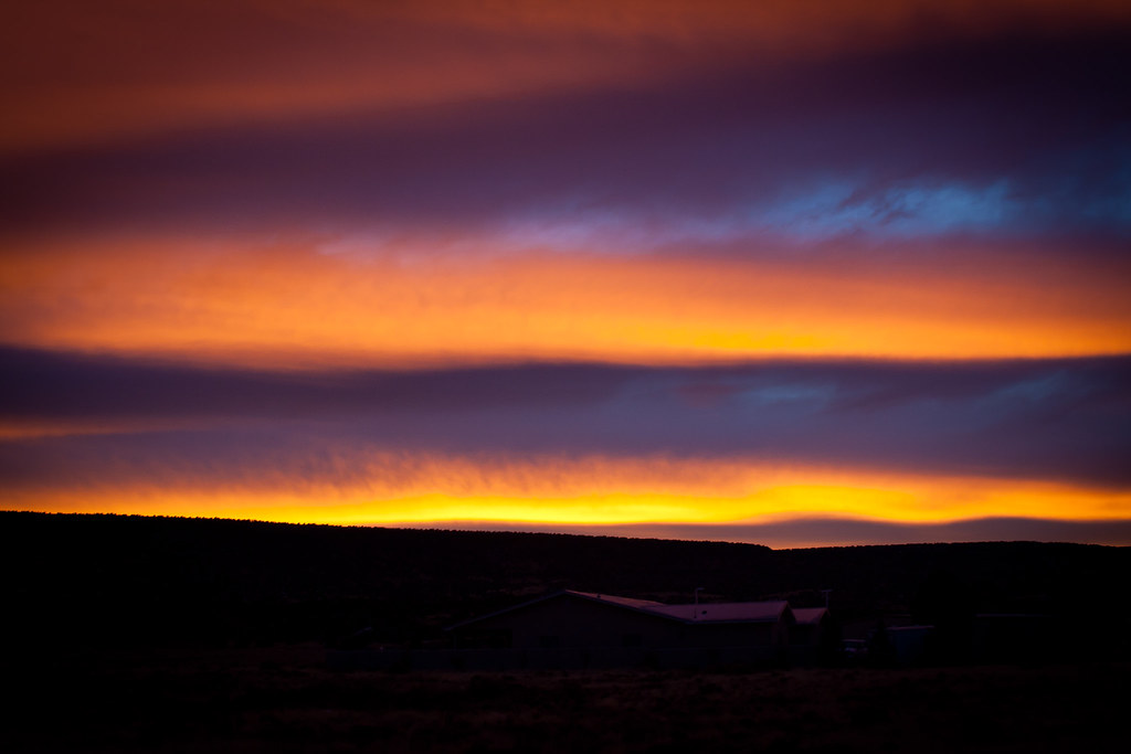
fire in the sky
cool morning
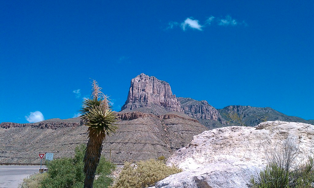
Guadalupe Mountain
different perspective
2008_07_20_3501_El-Maph_CA-Vac

The Roarin' 20's Liquor Store
bands of light
Topographic Map of San Rafael, NM, USA
Find elevation by address:

Places near San Rafael, NM, USA:
Cibola County
Grants
New Mexico Correctional Facility
98 Oso Remote Rd
Mccartys
El Malpais National Monument
Cubero
Acoma Pueblo
Encinal, NM, USA
Laguna
Techado Mesa
Bell Mountain
D Cross Mountain
Blue Mesa
Elk Trail
Canoncito
Sawtooth Mountains Hp
Alamo
Madre Mountain
Capital Dome
Recent Searches:
- Elevation of Corso Fratelli Cairoli, 35, Macerata MC, Italy
- Elevation of Tallevast Rd, Sarasota, FL, USA
- Elevation of 4th St E, Sonoma, CA, USA
- Elevation of Black Hollow Rd, Pennsdale, PA, USA
- Elevation of Oakland Ave, Williamsport, PA, USA
- Elevation of Pedrógão Grande, Portugal
- Elevation of Klee Dr, Martinsburg, WV, USA
- Elevation of Via Roma, Pieranica CR, Italy
- Elevation of Tavkvetili Mountain, Georgia
- Elevation of Hartfords Bluff Cir, Mt Pleasant, SC, USA