Elevation of 98 Oso Remote Rd, Grants, NM, USA
Location: United States > New Mexico > Cibola County > Grants >
Longitude: -108.05011
Latitude: 35.0340485
Elevation: 2402m / 7881feet
Barometric Pressure: 76KPa
Elevation Map:
Satellite Map:
Related Photos:
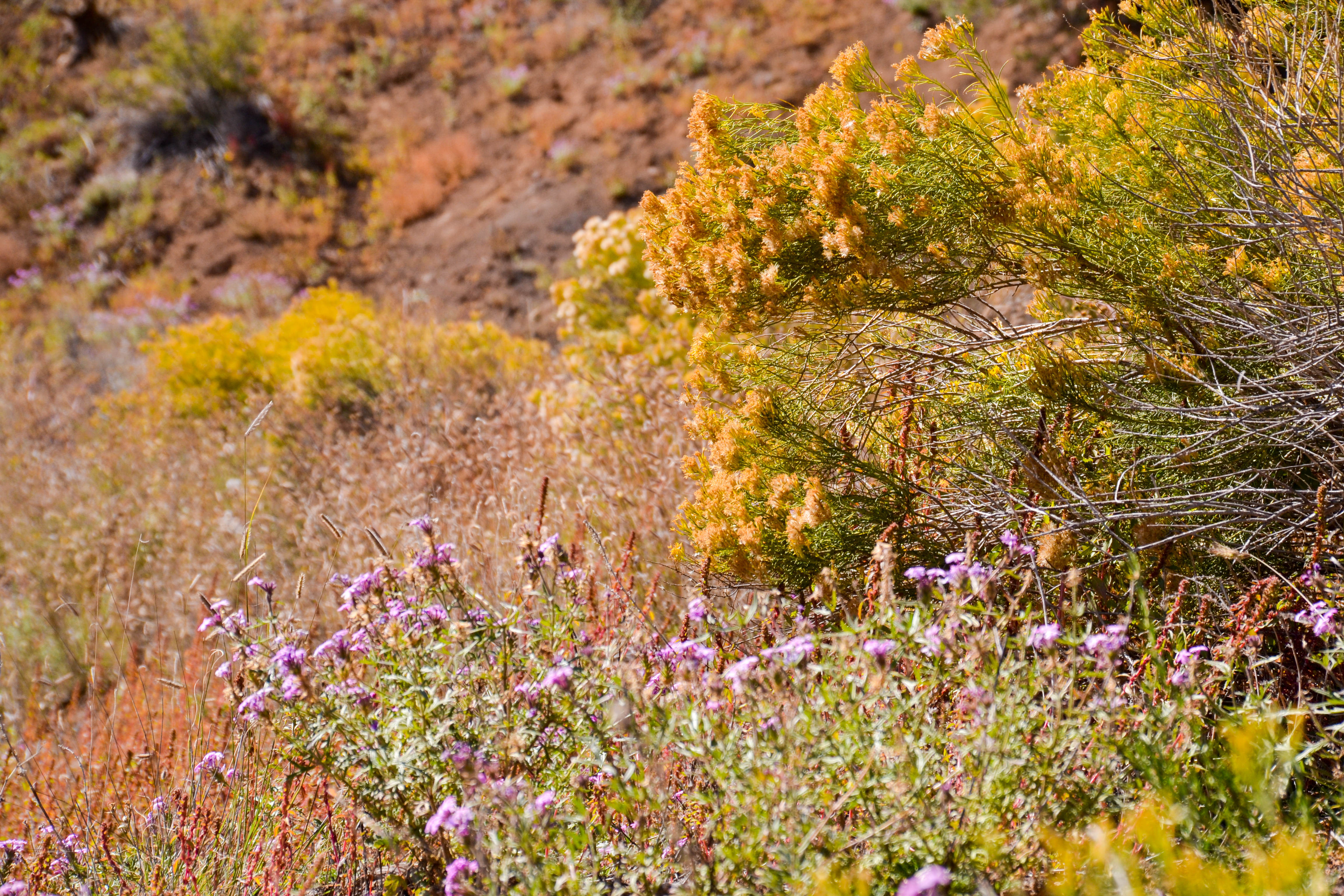
View to #elmalpais #bluff #cibola #newmexico
Zuni Mountain Morning
Cinder Cone from Route 53 Near Bandera Ice Caves, New Mexico

Extinct Cinder Cone from Route 53, El Malpais National Monument
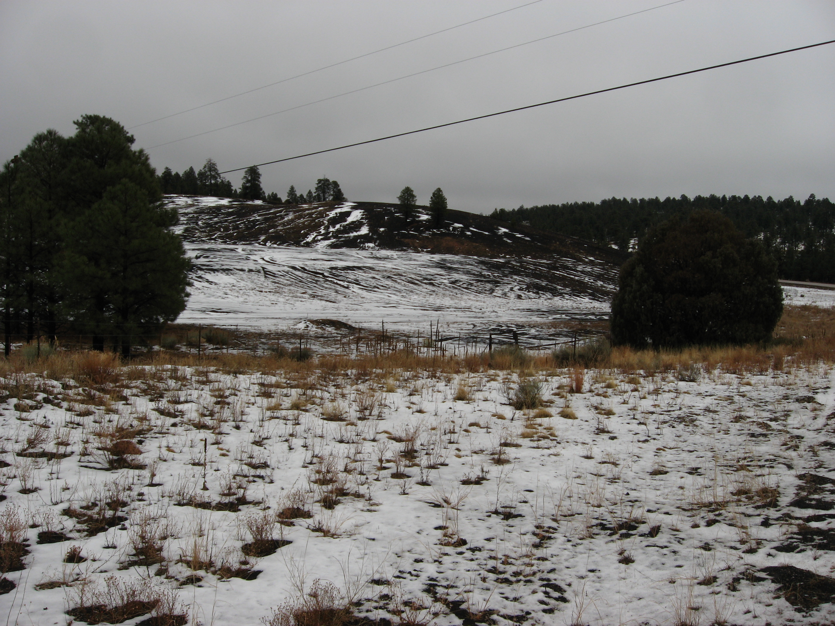
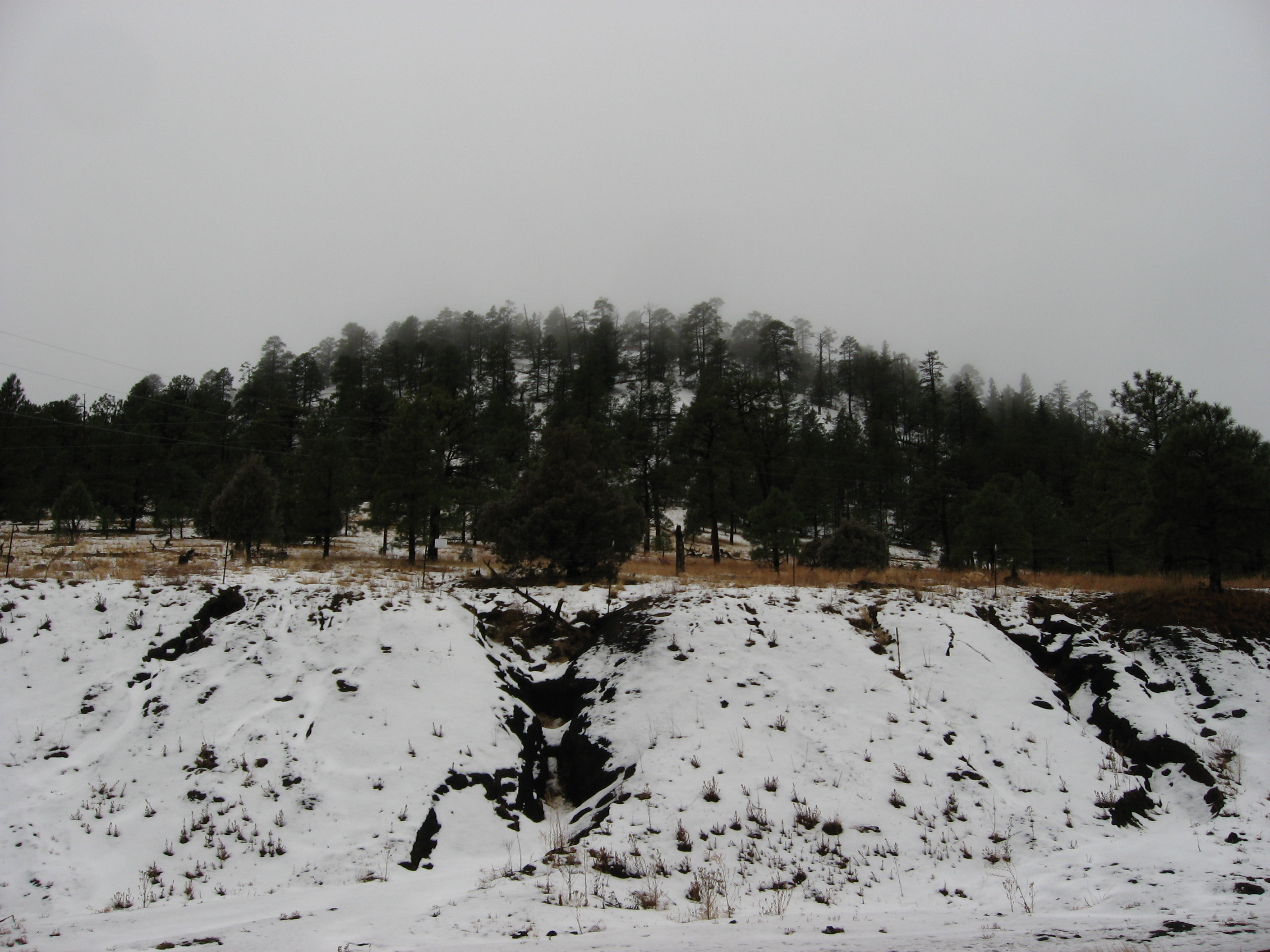
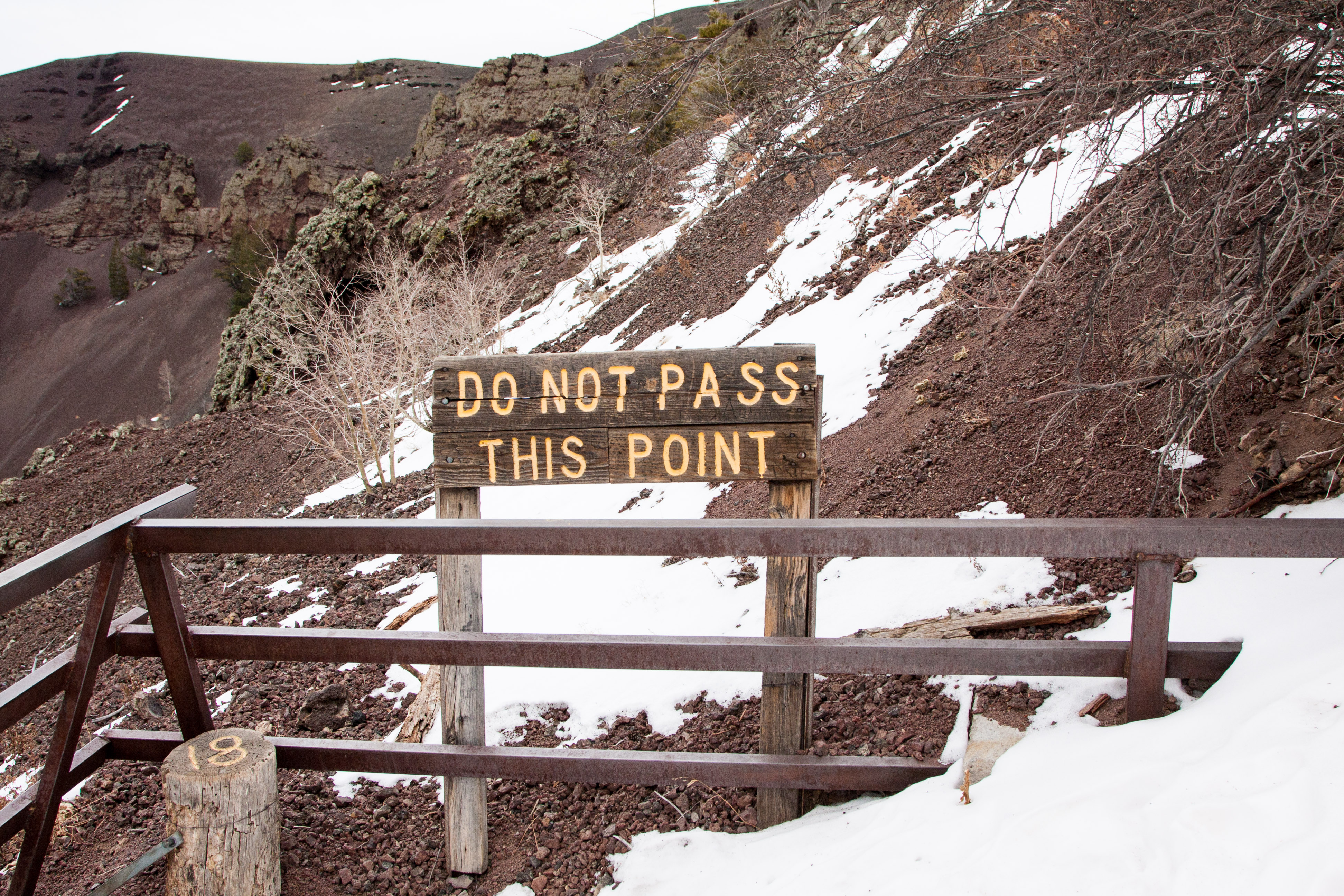
Volcanic Landscape Covered by Snow, El Malpais National Monument, Route 53, New Mexico
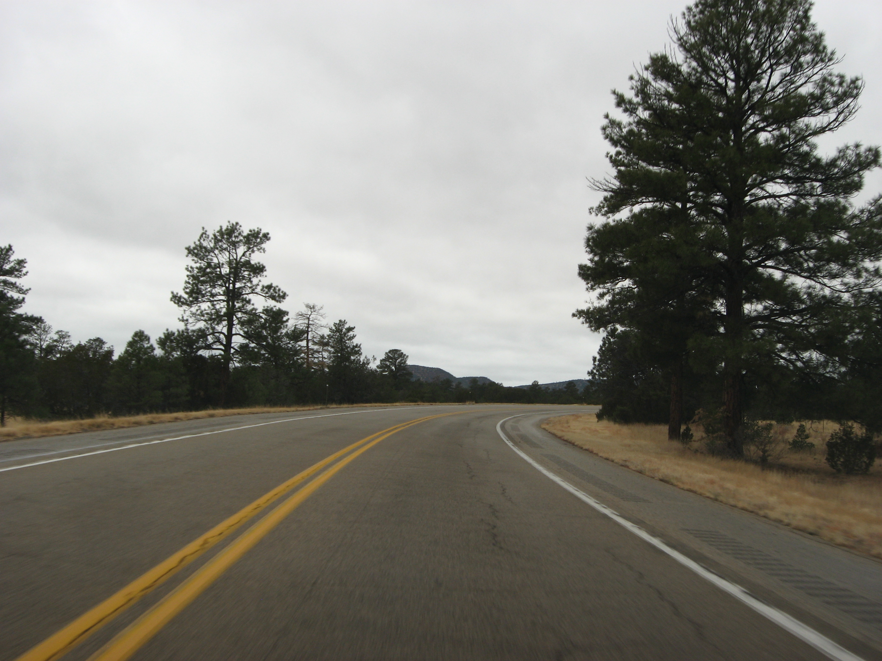
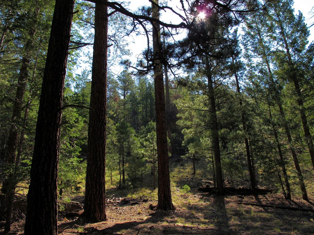
Entering Pine Forest in El Malpais National Monument on Route 53, New Mexico
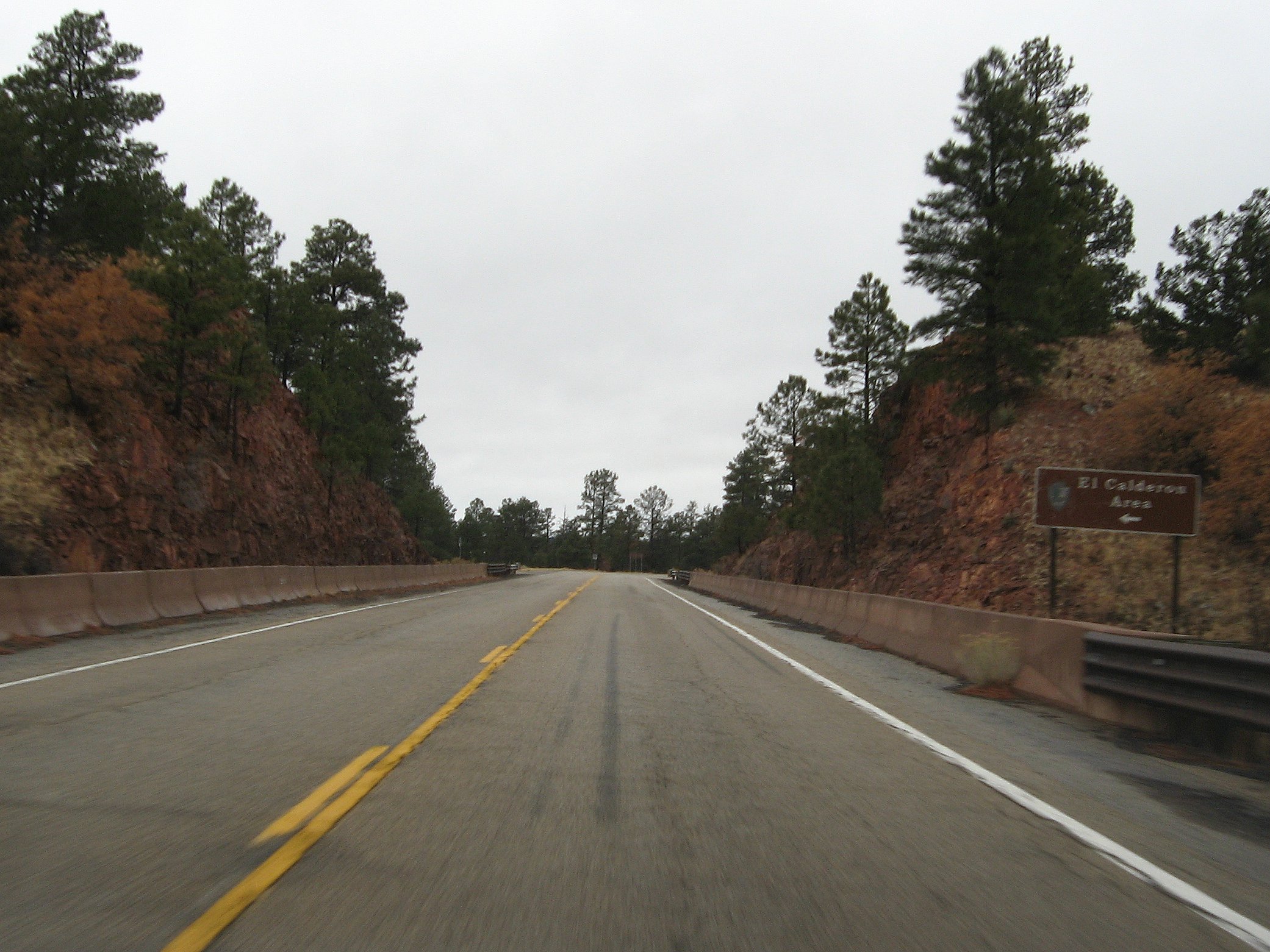
Turn-Off to El Calderon Area of El Malpais National Monument
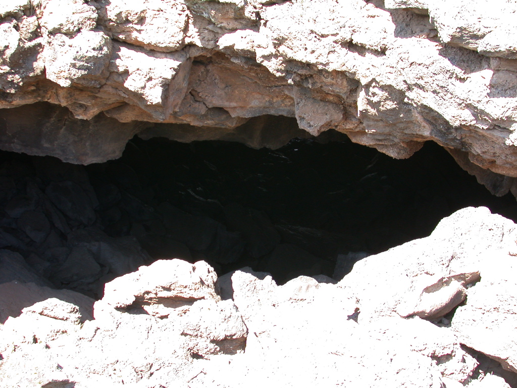
Another view of the lava tube
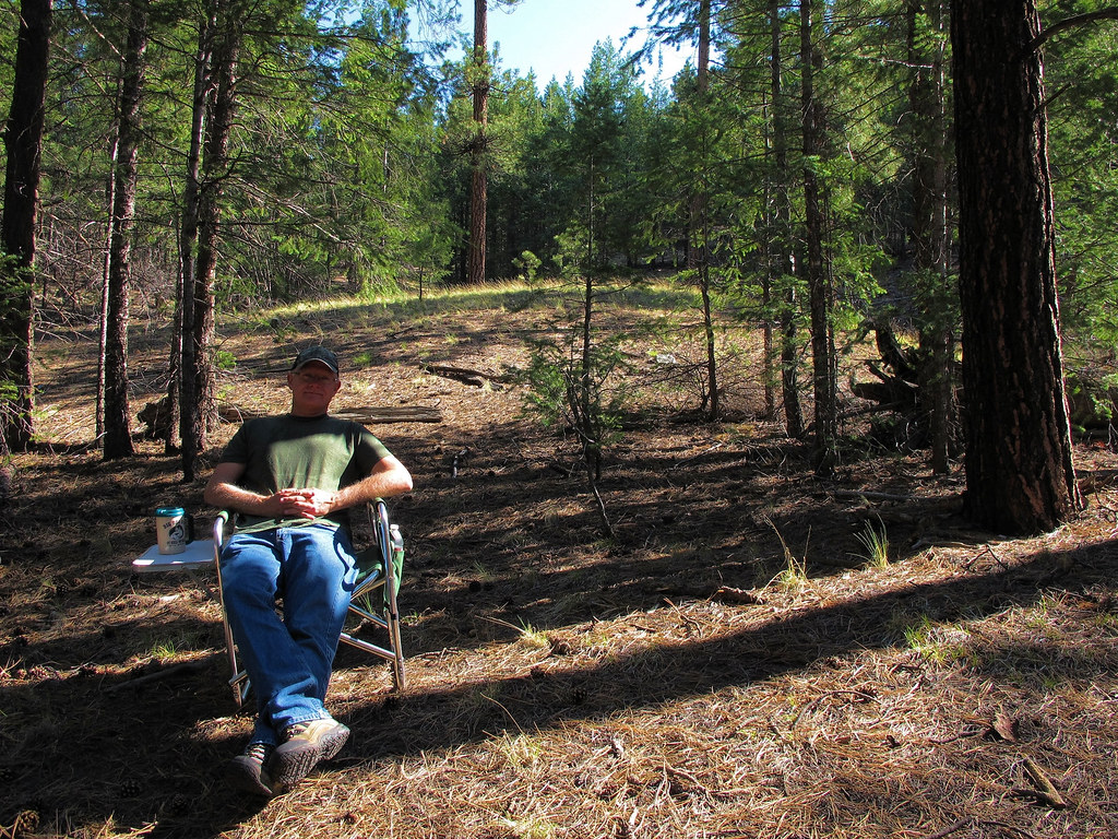
Morning Coffee
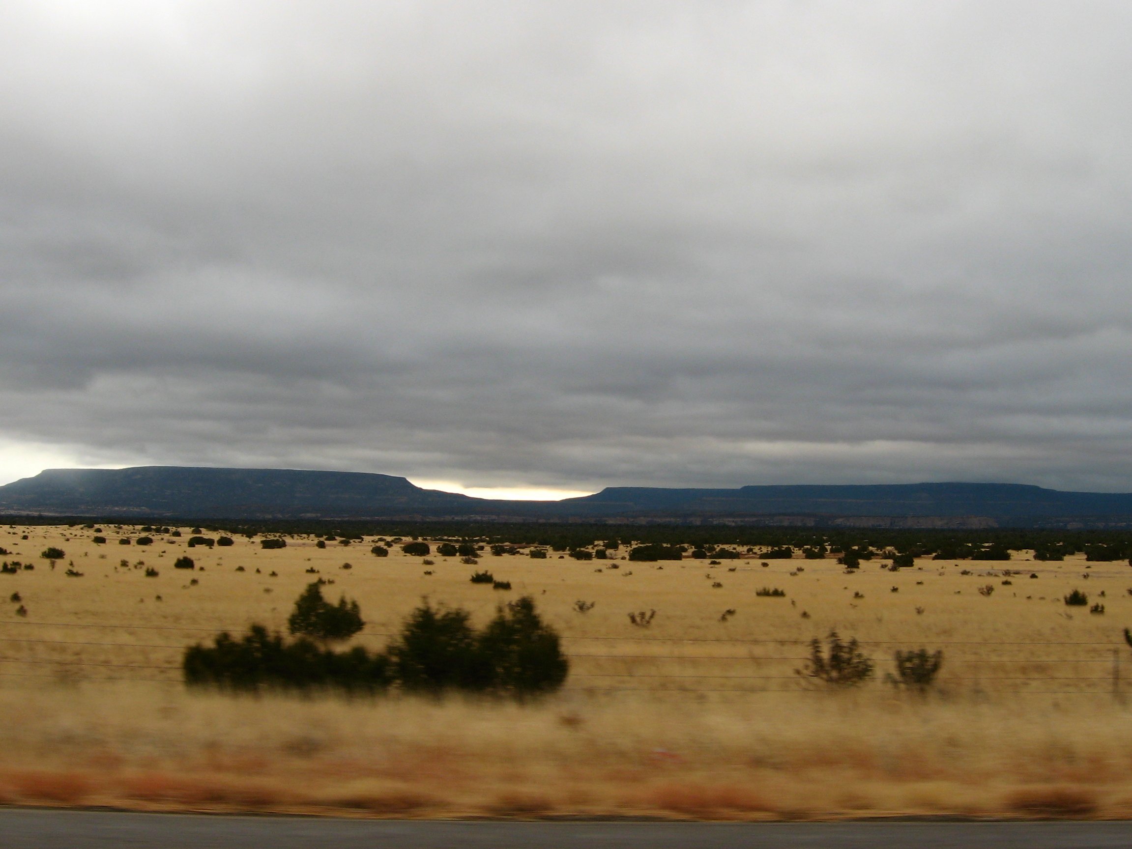
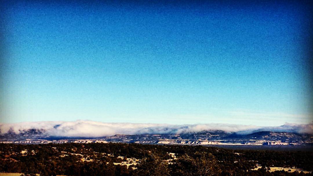
View of Bluffs and Buttes to the East from S.R. 53 South of Grants, New Mexico
Atop El Calderon cinder cone, El Malpais, NM
Out There Far Away
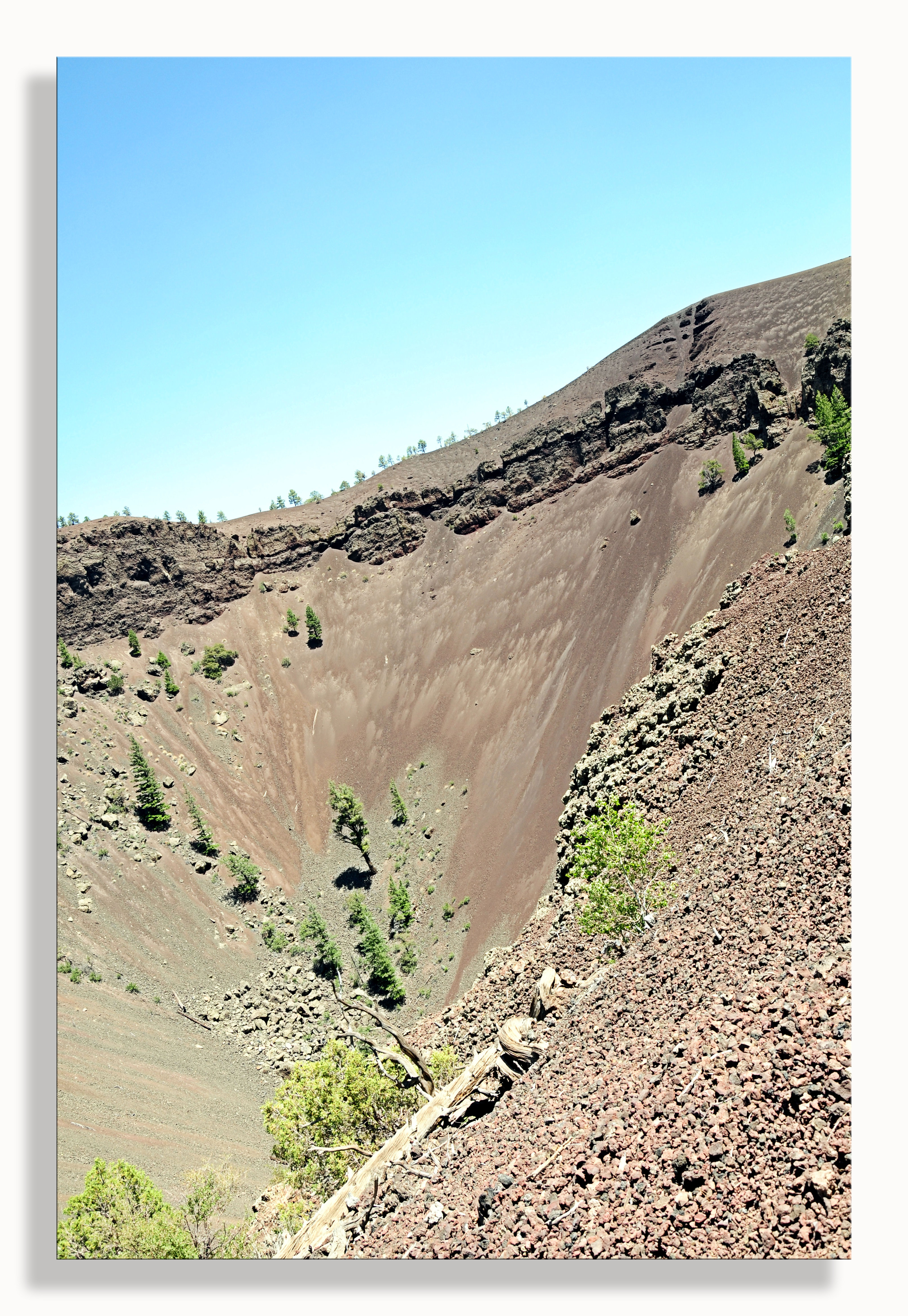
Bandera Crater

Bandera Crater
El Calderon - El Malpais National Monument
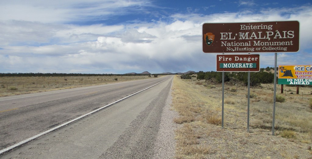
Entering El Malpais National Monument (Cibola County, New Mexico)

625-2593_IMG.JPG

625-2587_IMG.JPG

625-2556_IMG.JPG

625-2553_IMG.JPG

625-2571_IMG.JPG

625-2585_IMG.JPG
Vulcano at El Malpais trail end

625-2573_IMG.JPG

625-2586_IMG.JPG

625-2592_IMG.JPG

626-2624_IMG.JPG

625-2588_IMG.JPG
Topographic Map of 98 Oso Remote Rd, Grants, NM, USA
Find elevation by address:

Places near 98 Oso Remote Rd, Grants, NM, USA:
El Malpais National Monument
San Rafael
Cibola County
Grants
New Mexico Correctional Facility
Mccartys
Acoma Pueblo
Cubero
Techado Mesa
Elk Trail
Bell Mountain
D Cross Mountain
Encinal, NM, USA
Laguna
Sawtooth Mountains Hp
Blue Mesa
Capital Dome
Pie Town
Madre Mountain
Davenport Lookout
Recent Searches:
- Elevation of Corso Fratelli Cairoli, 35, Macerata MC, Italy
- Elevation of Tallevast Rd, Sarasota, FL, USA
- Elevation of 4th St E, Sonoma, CA, USA
- Elevation of Black Hollow Rd, Pennsdale, PA, USA
- Elevation of Oakland Ave, Williamsport, PA, USA
- Elevation of Pedrógão Grande, Portugal
- Elevation of Klee Dr, Martinsburg, WV, USA
- Elevation of Via Roma, Pieranica CR, Italy
- Elevation of Tavkvetili Mountain, Georgia
- Elevation of Hartfords Bluff Cir, Mt Pleasant, SC, USA