Elevation of San Mateo Ct, St. Augustine, FL, USA
Location: United States > Florida > St. Johns County > St. Augustine >
Longitude: -81.377615
Latitude: 30.033919
Elevation: 4m / 13feet
Barometric Pressure: 101KPa
Elevation Map:
Satellite Map:
Related Photos:

Wave Sets Rolling In

Glass Sand
Sea Snow

First Peek

Water Field

Moody Blues

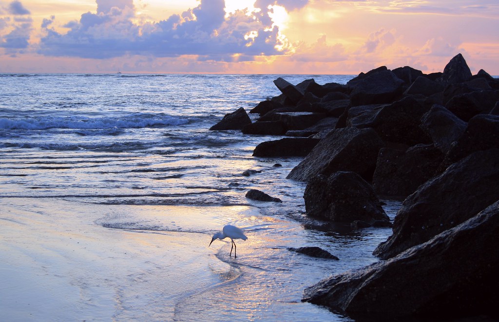
Sea Gull
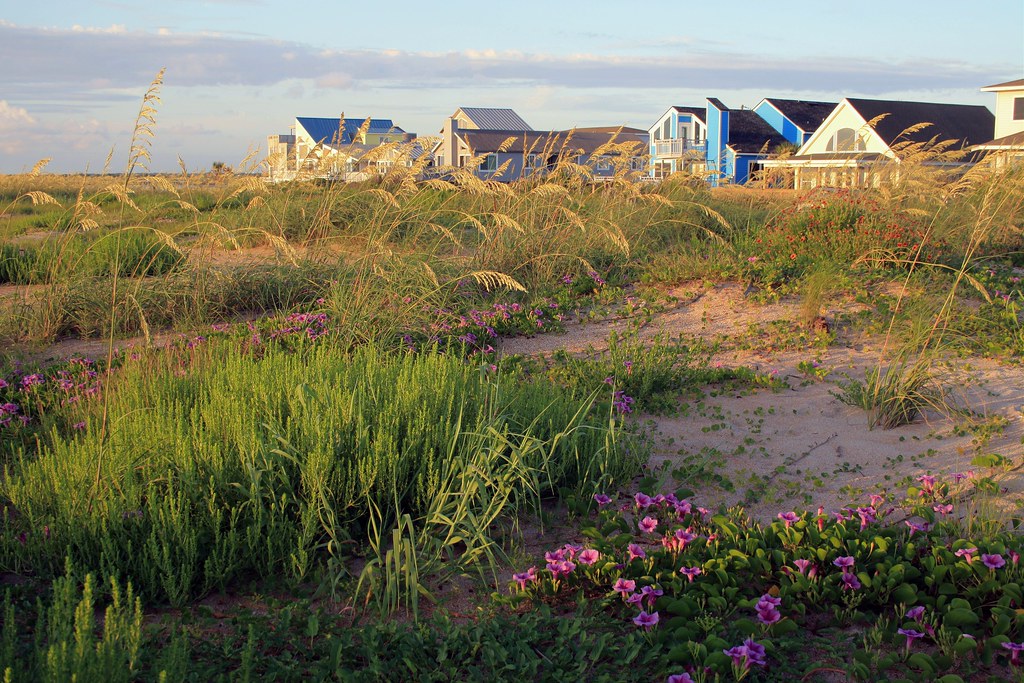
Beach Dunes

Walk the Dog

Tide Pools
Sculpted Sand

Fish On

High Beams

Morning Beach Walk

Nature's Paintbrush

The Sunrise Photographer

Blue Mirror

Light Fishing

Life's A Beach

Tide Pools & Eddys

Surf Fishing

Sunrise over the San Sebastian.

Window Shelf

Fly By

Wavetip-Light

Rise and Shine

Grandma's Spot Every Sunrise

Surf Fishing

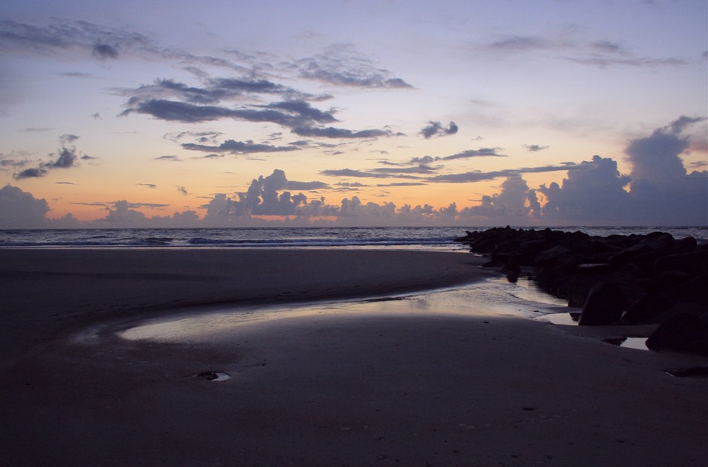
Beach Sunrise

Early Activity

Lonely Planet

Heading Out

Rise and Shine
Topographic Map of San Mateo Ct, St. Augustine, FL, USA
Find elevation by address:

Places near San Mateo Ct, St. Augustine, FL, USA:
1491 N Loop Pkwy
1475 N Loop Pkwy
1481 N Loop Pkwy
642 Santa Teresa Ct
1741 N Loop Pkwy
125 Calle Norte
125 San Telmo Ct
177 Spanish Marsh Dr
160 Spanish Marsh Dr
140 Marshall Creek Dr
128 Marshall Creek Dr
120 Marshall Creek Dr
Palencia
Palencia Club Drive
605 Palencia Club Dr
142 Hickory Hill Dr
Rio Del Norte Road
112 Hickory Hill Dr
2518 Las Calinas Blvd
22 Ceja Way
Recent Searches:
- Elevation of Corso Fratelli Cairoli, 35, Macerata MC, Italy
- Elevation of Tallevast Rd, Sarasota, FL, USA
- Elevation of 4th St E, Sonoma, CA, USA
- Elevation of Black Hollow Rd, Pennsdale, PA, USA
- Elevation of Oakland Ave, Williamsport, PA, USA
- Elevation of Pedrógão Grande, Portugal
- Elevation of Klee Dr, Martinsburg, WV, USA
- Elevation of Via Roma, Pieranica CR, Italy
- Elevation of Tavkvetili Mountain, Georgia
- Elevation of Hartfords Bluff Cir, Mt Pleasant, SC, USA