Elevation of San Gorgonio Rd, Rancho Mirage, CA, USA
Location: United States > California > Riverside County > Rancho Mirage >
Longitude: -116.41572
Latitude: 33.7409189
Elevation: 86m / 282feet
Barometric Pressure: 100KPa
Elevation Map:
Satellite Map:
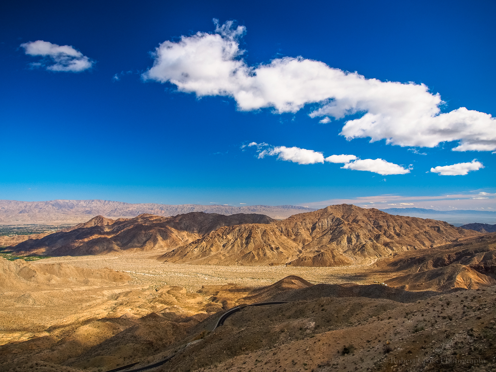
Related Photos:

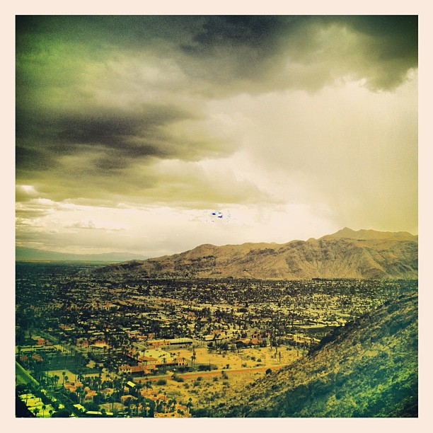
Morning Sunrise Clouds_1

Morning Sunrise Clouds_2
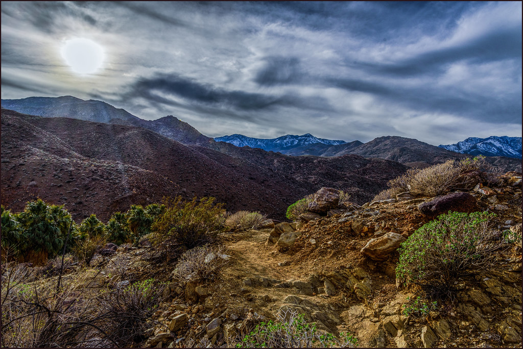
On the Trail

Palm Springs Aviation Expo 2014

Swimming Among The Clouds

Sunrise 11_8_2010

I Don't Need A Haircut, Mr Tomcat

Kiss Me, I'm Irish

You Mean They're Real?

Battle Of The Kissies!!!
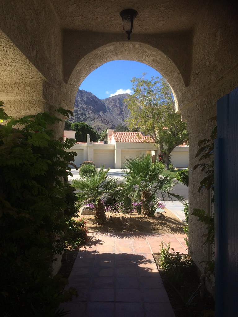
view out the front - Santa Rosa Cove

Yo Taxi!
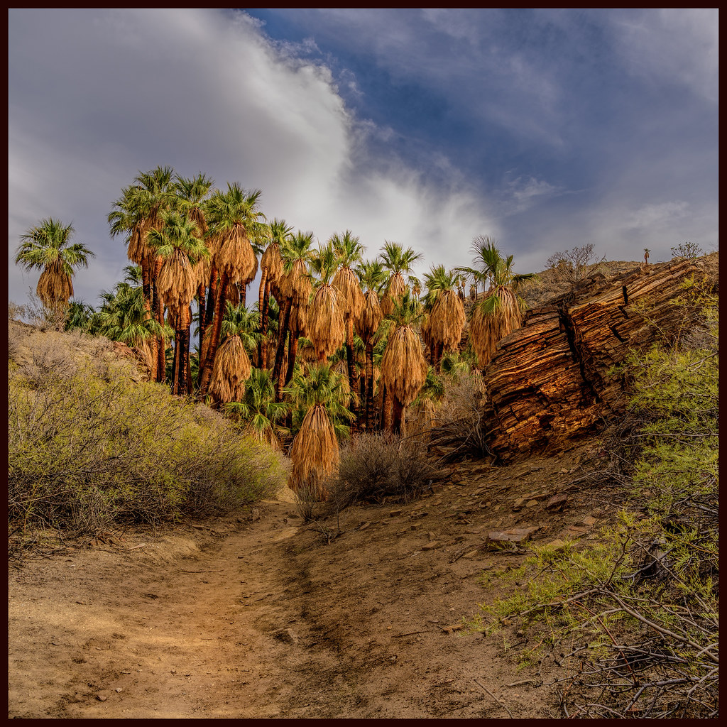
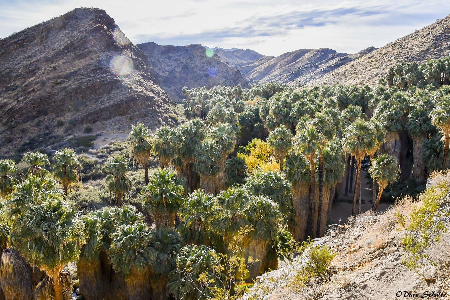
Palm Canyon

If Your Gonna Put A Chain In Front Of Me
Museum Trail View
Retroactive post: View from the pool

ALL I NEED IS THE AIR THAT I BREATHE... in/out of Explore
Bring The Old New

Don't Carry Me Too Far Away
Low Flying

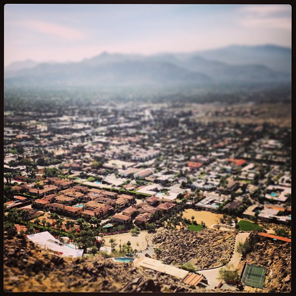
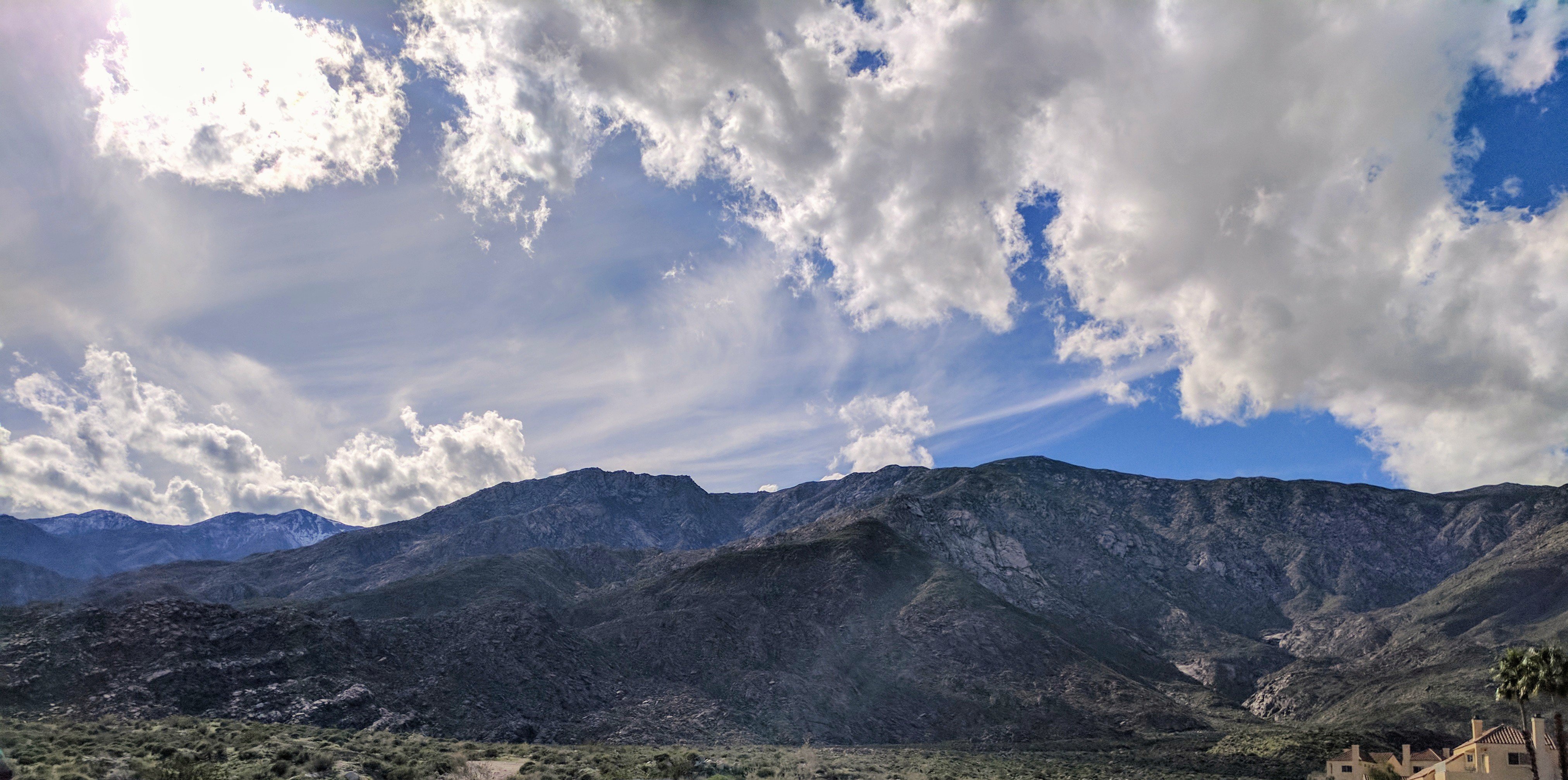
Palm Springs Panorama
Santa Rosa Virga

Palm to Pines Highway - Palm Desert, CA

Imagined Landscape VIII
IV Mirage 03.12.12
Remains of Pride Rock
Giraffes at the Living Desert

Tahquitz Canyon mural 1
White Tree

Giraffe Pasture
January 2013 Landscape II

Grazing Giraffes
Photo Stream
Pines to Palms
Jan0718-001_c
#4
2017-02-11_04-44-33
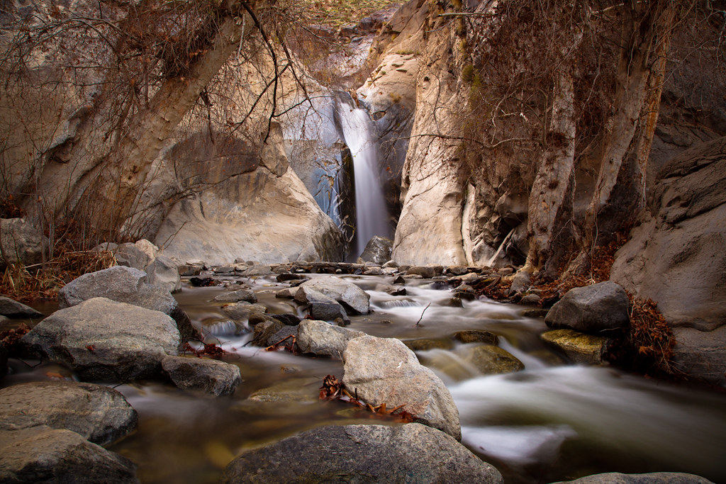
Desert Falls Tranquility
#theressomethinghereiwantedtoremember #happyhiking #TheGoatTrail #omroamsuccess #kamaprana

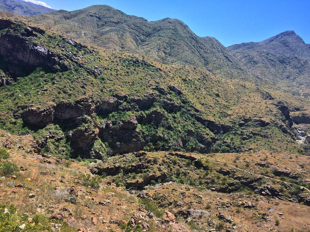
Desert / Rock / Landscape 05.30.12

Boulders, Sage, and a Cactus
Topographic Map of San Gorgonio Rd, Rancho Mirage, CA, USA
Find elevation by address:

Places near San Gorgonio Rd, Rancho Mirage, CA, USA:
Rancho Mirage
71580 Gardess Rd
Rancho Las Palmas Golf Course
Clancy Lane
2 Vista Santa Rosa
136 Las Lomas
161 Madrid Ave
El Paseo
3 Camisa Ln
Calle De Los Campesinos
Palm Desert
73660 Grapevine St
Setting Sun Trail
73661 Haystack Rd
Cholla Way, Palm Desert, CA, USA
73185 Irontree Dr
73411 Dalea Ln
Santa Rosa And San Jacinto Mountains National Monument
CA-74, Mountain Center, CA, USA
Buck Drive
Recent Searches:
- Elevation of Corso Fratelli Cairoli, 35, Macerata MC, Italy
- Elevation of Tallevast Rd, Sarasota, FL, USA
- Elevation of 4th St E, Sonoma, CA, USA
- Elevation of Black Hollow Rd, Pennsdale, PA, USA
- Elevation of Oakland Ave, Williamsport, PA, USA
- Elevation of Pedrógão Grande, Portugal
- Elevation of Klee Dr, Martinsburg, WV, USA
- Elevation of Via Roma, Pieranica CR, Italy
- Elevation of Tavkvetili Mountain, Georgia
- Elevation of Hartfords Bluff Cir, Mt Pleasant, SC, USA