Elevation of San Carlos Station, San Carlos, CA, USA
Location: United States > California > San Mateo County > San Carlos >
Longitude: -122.26050
Latitude: 37.5076804
Elevation: 9m / 30feet
Barometric Pressure: 101KPa
Elevation Map:
Satellite Map:
Related Photos:

The best seat in the house

Egret Strut

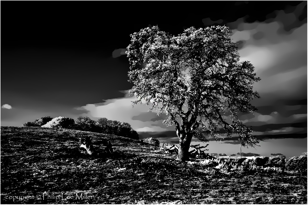
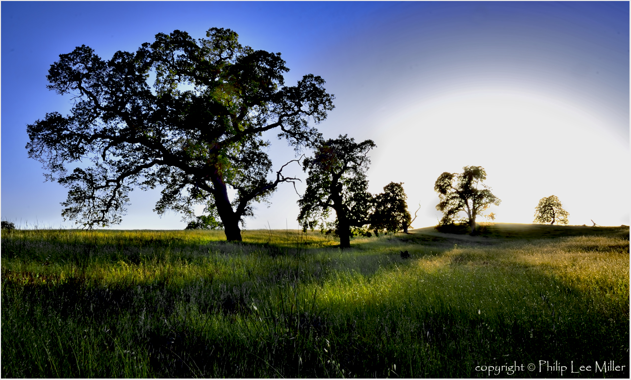
Gnarled Oak

Sun Burn
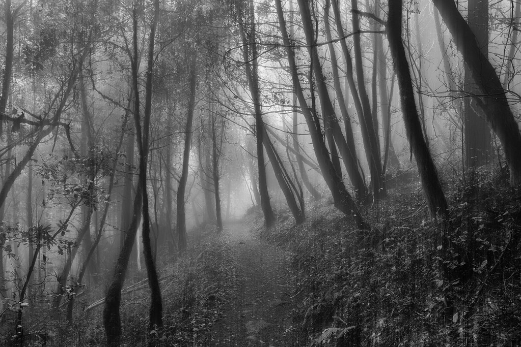
If Trees Could Talk

It Pays to be a 'Morning Person'

St John's
the gatekeeper

Closing Time
folds of oblivion
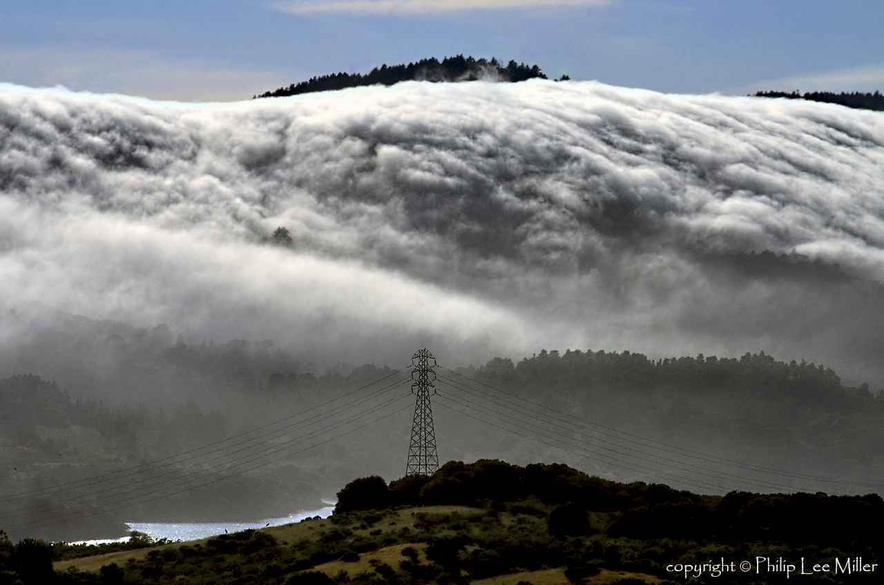
Power Meets Power
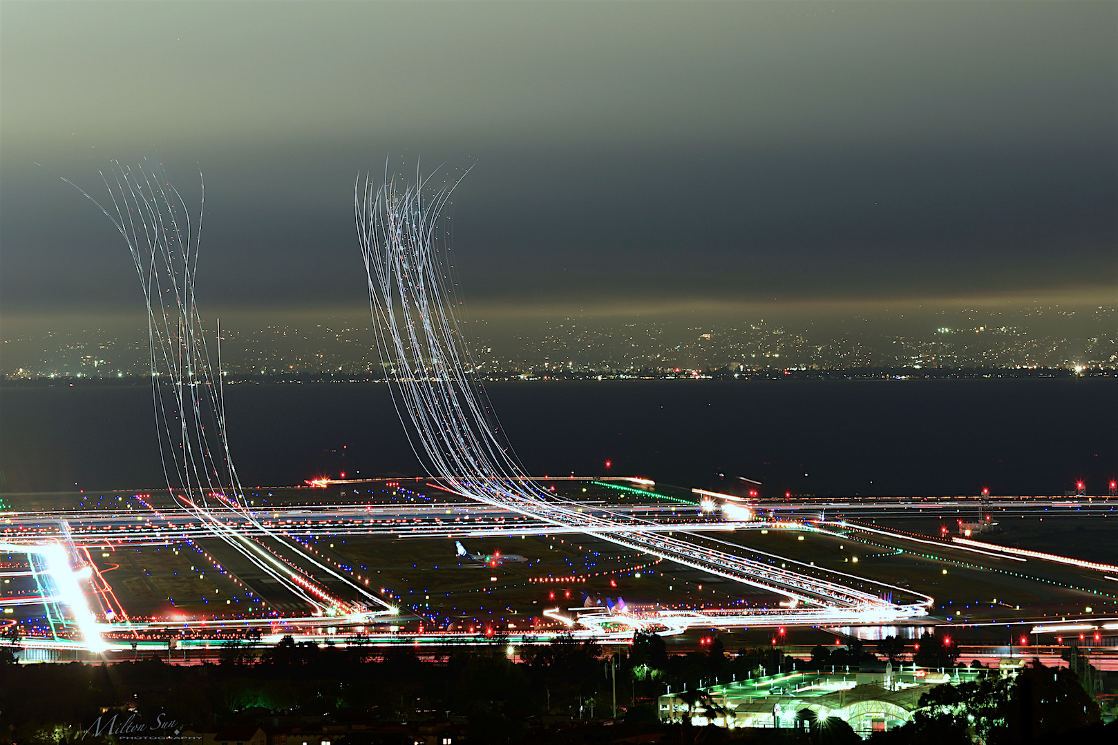
Flew into the Night Clouds
I smell the first rain

Selestial Orbit
An unusual view of San Francisco

The Feather Trees of Planet Skeggs

On Their Way Home

Blue distortion field

Shadows Glimmering

turning your orbit around

the destination

Heavenly shades of night are falling, it's twilight time ...

Heavenly Shades of Night are Falling -- Reprise

Home on the Farm

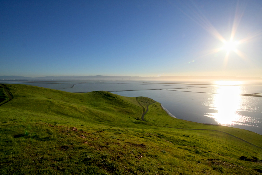
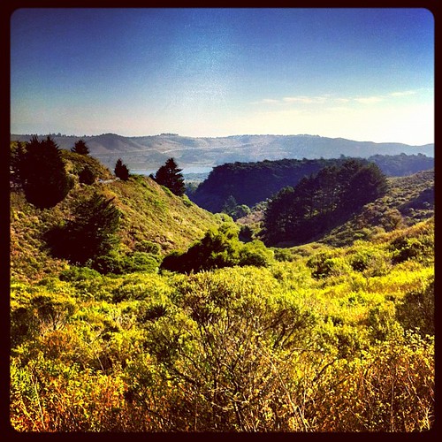
Arastradero Pasture
Cotoye Hills Regional Park 11.jpg

Sunrise over Mount Diablo and San Francisco Bay - Millbrae California

DSC00963.JPG

Alle Fotos-58
Purisima Creek
Way better than the DMV...

April Skies | Palo Alto

Gentle Afterglow

No Name Trail

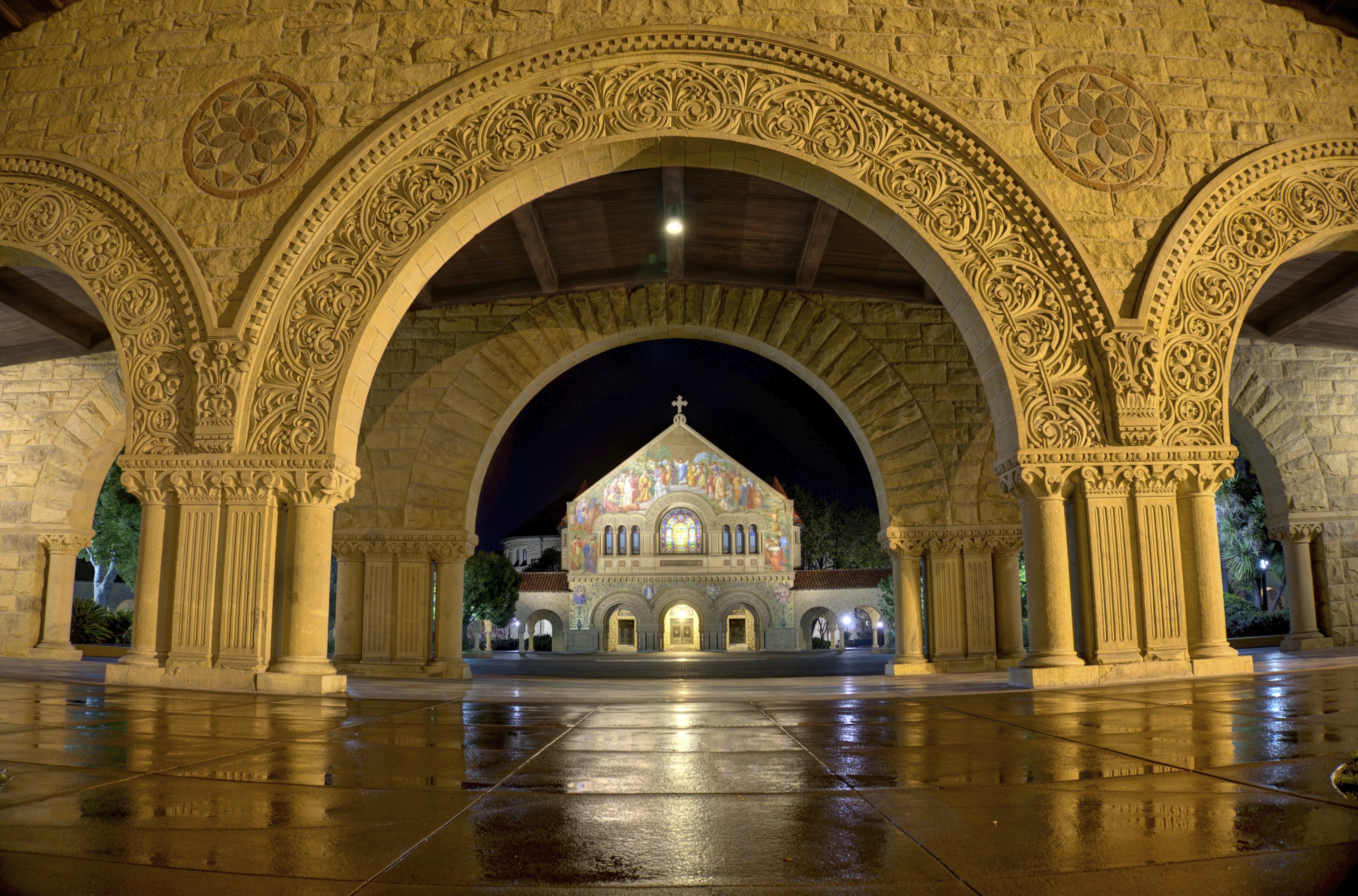
Stanford and Palo Alto

Allen's Hummingbird

hwy 280
Ghost Riders in the Sky
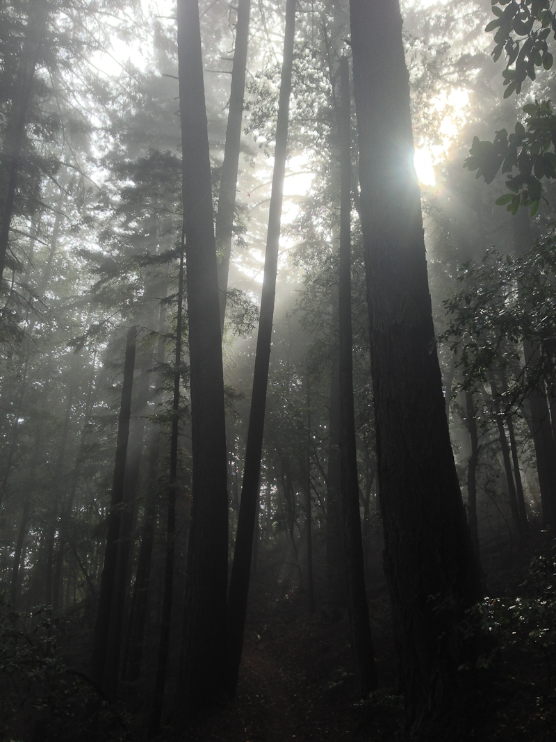
Sun breaking through fog
Topographic Map of San Carlos Station, San Carlos, CA, USA
Find elevation by address:

Places near San Carlos Station, San Carlos, CA, USA:
San Carlos
City Of San Carlos Marker
At&t Authorized Retailer
Town
San Carlos City Hall
Bianchini's Market
Central Middle School
1310 Hull Dr
1777 Elizabeth St
Burton Park
1000 Cedar St
1981 Eucalyptus Ave
2055 Eucalyptus Ave
945 Buckland Ave
210 Rockridge Rd
1306 Elmer St
990 Alameda De Las Pulgas
990 Alameda De Las Pulgas
109 Dundee Ln
79 Wessex Way
Recent Searches:
- Elevation of Corso Fratelli Cairoli, 35, Macerata MC, Italy
- Elevation of Tallevast Rd, Sarasota, FL, USA
- Elevation of 4th St E, Sonoma, CA, USA
- Elevation of Black Hollow Rd, Pennsdale, PA, USA
- Elevation of Oakland Ave, Williamsport, PA, USA
- Elevation of Pedrógão Grande, Portugal
- Elevation of Klee Dr, Martinsburg, WV, USA
- Elevation of Via Roma, Pieranica CR, Italy
- Elevation of Tavkvetili Mountain, Georgia
- Elevation of Hartfords Bluff Cir, Mt Pleasant, SC, USA