Elevation of Sam Snead Hwy, Warm Springs, VA, USA
Location: United States > Virginia > Bath County > Warm Springs > Warm Springs >
Longitude: -79.749075
Latitude: 38.1319369
Elevation: 780m / 2559feet
Barometric Pressure: 92KPa
Elevation Map:
Satellite Map:
Related Photos:

Jefferson Pools

Chestnut-sided Warbler

Side View of Bath County (VA) Courthouse

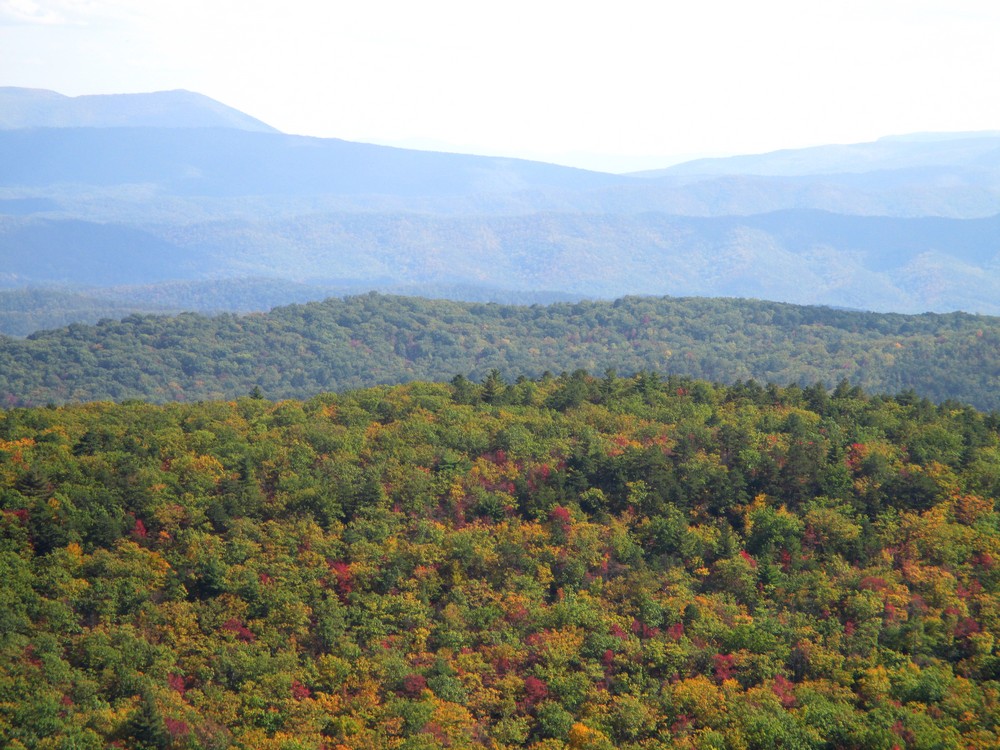
View from Dan Ingalls Overlook
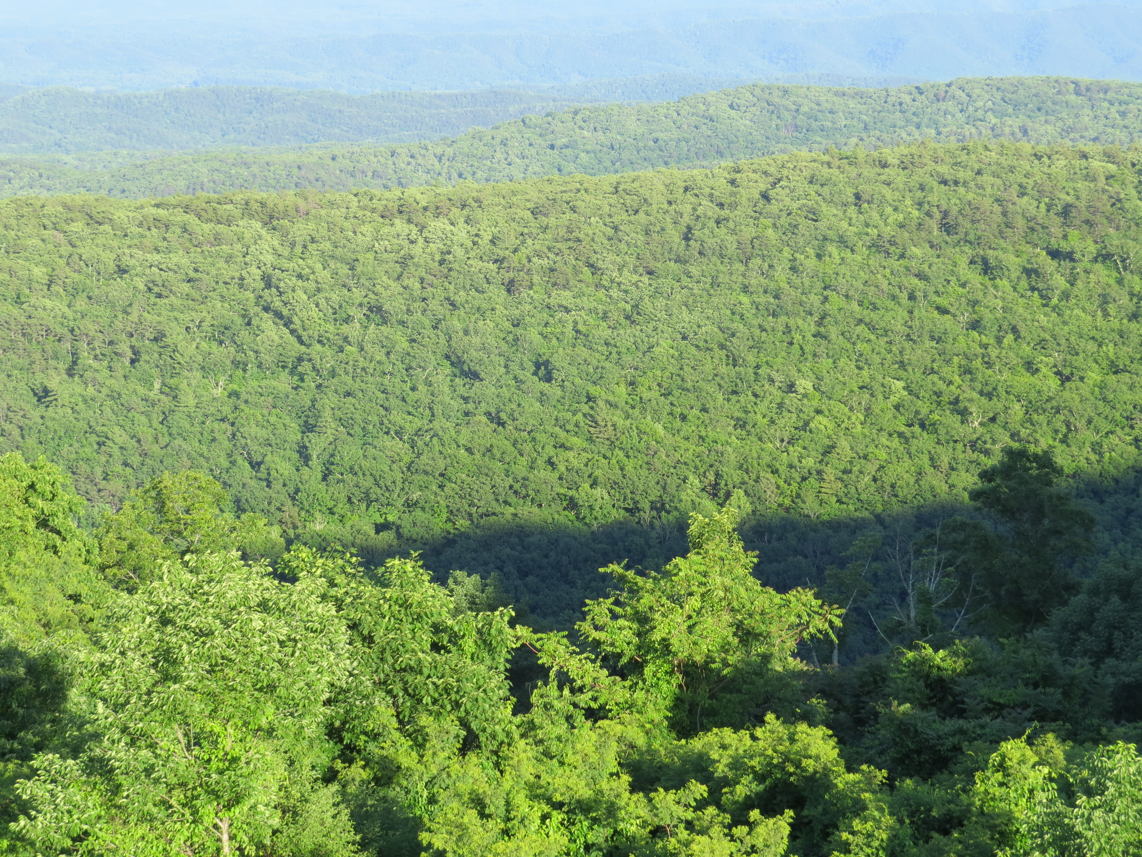
Over the Treetops

Ingall's Overlook

Ingall's Overlook

Ingall's Overlook

DAN INGALLS OVERLOOK

Virginia Mountains
Dan Ingalls Overlook

Dan Ingalls Overlook

DAN INGALLS OVERLOOK

DAN INGALLS OVERLOOK

Ingall's Overlook

INGALLS OVERLOOK

Virginia Mountains - B&W

Dan Ingalls Overlook

DAN INGALLS OVERLOOK

DSCS704807.JPG

2016 08 16 Bath County CH
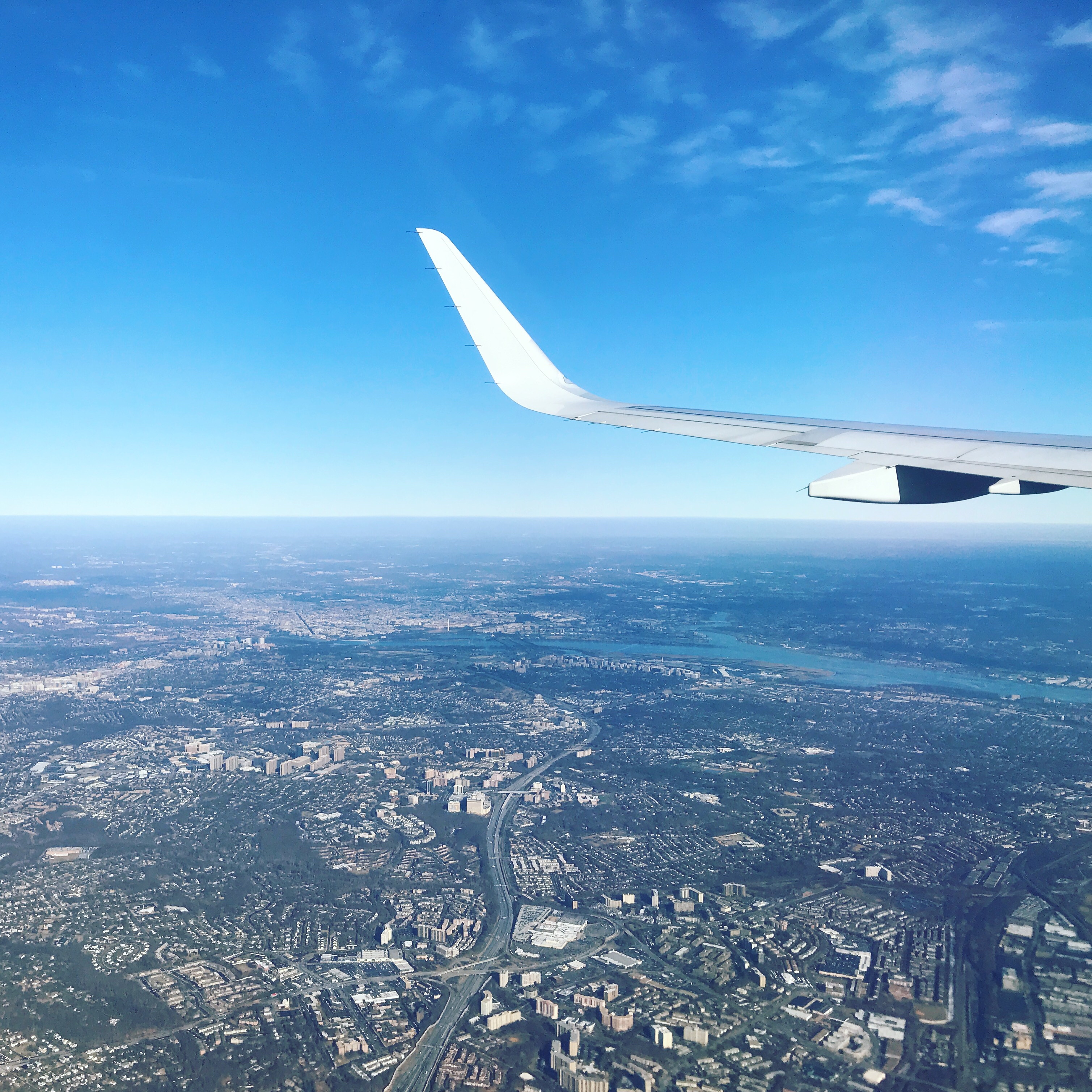
Hello DC!

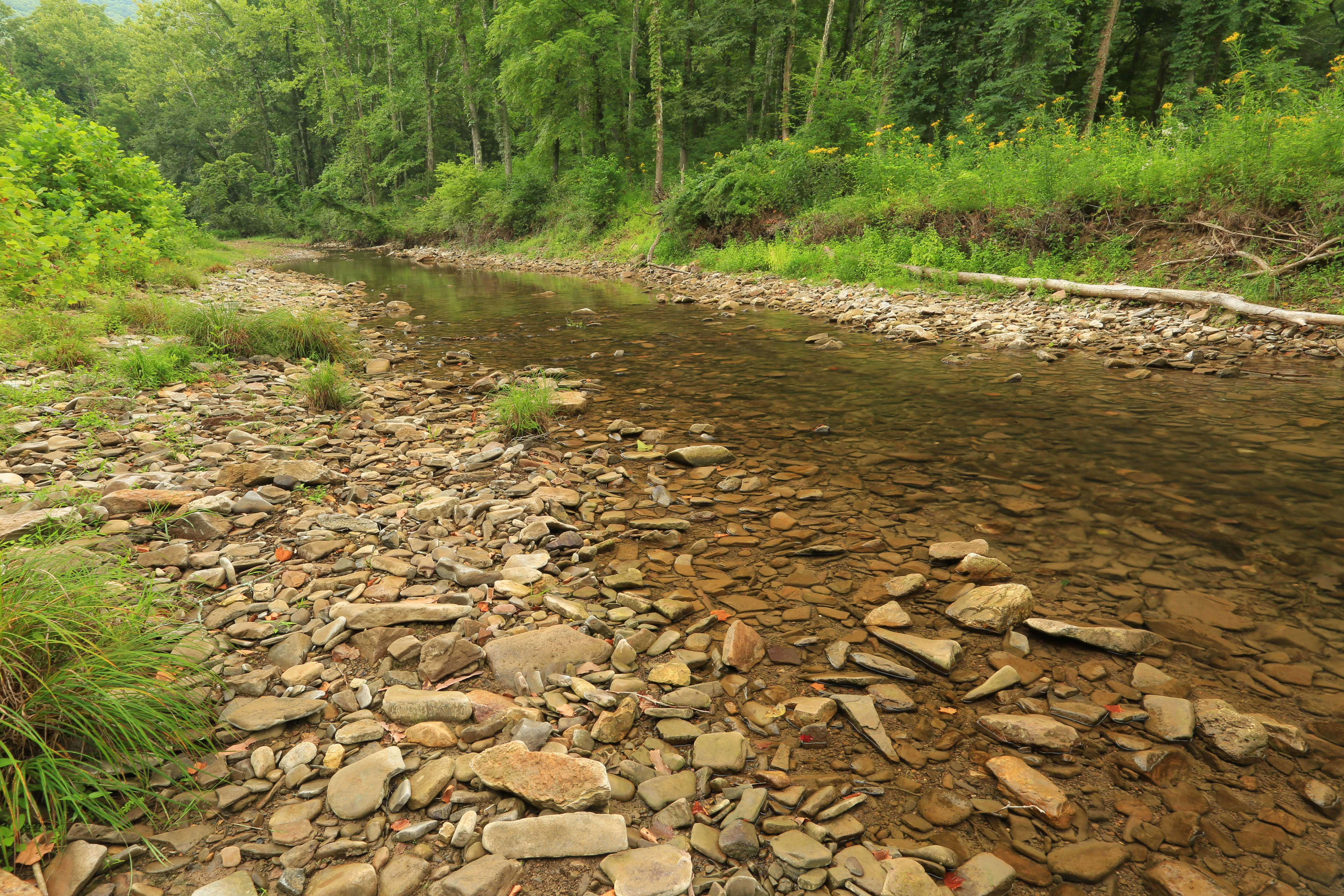
Back Creek, upstream of Blowing Springs Campground, George Washington National Forest, Bath County, Virginia 2

U.S. Geological Survey, Stream Gage, Little Back Creek, Little Mountain, George Washington National Forest, Bath County, Virginia 2

2018-09-27_04-11-17
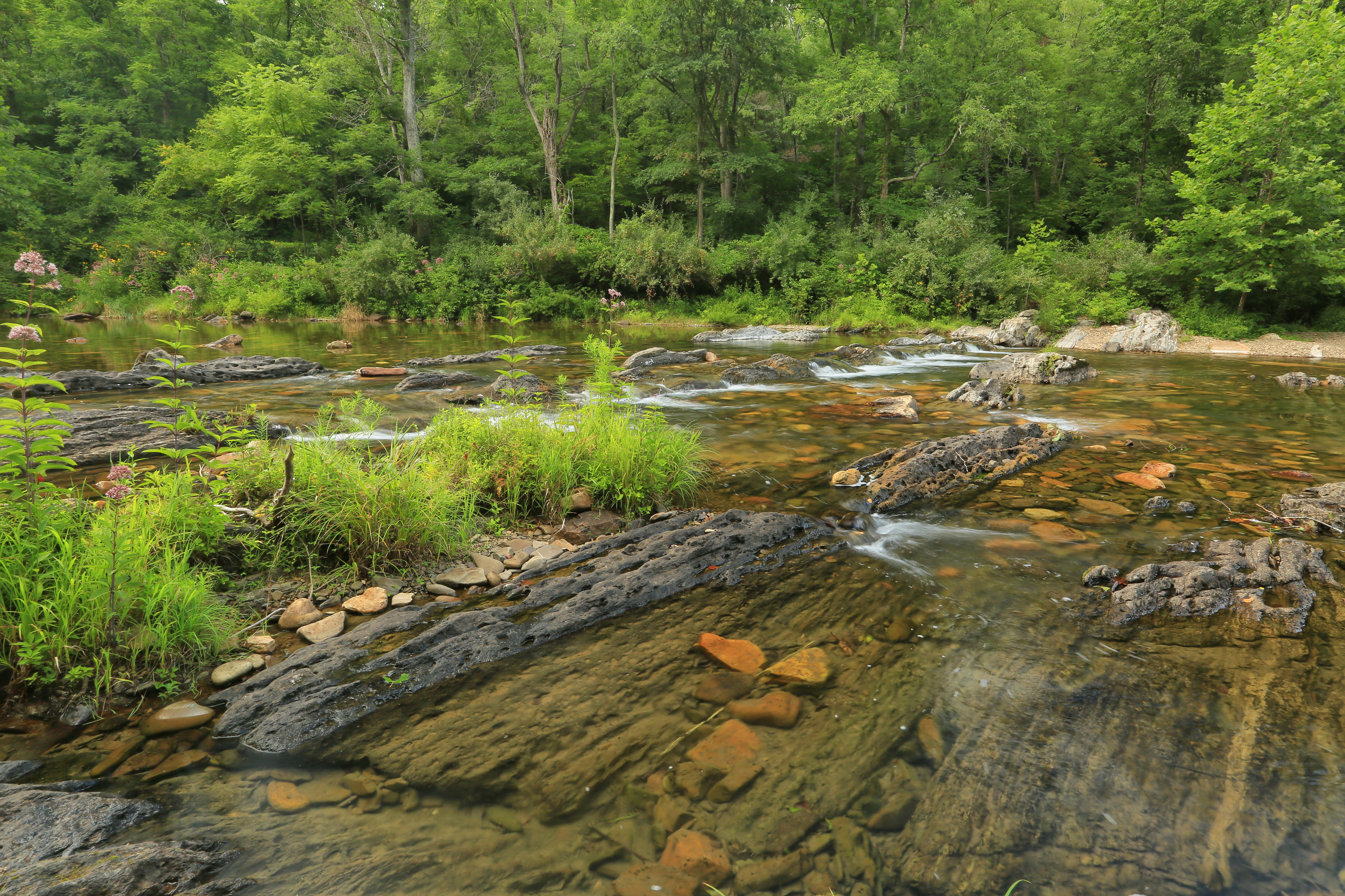
Back Creek, upstream of Blowing Springs Campground, George Washington National Forest, Bath County, Virginia 1

Little Back Creek, Little Mountain, George Washington National Forest, Bath County, Virginia 3

Hwy 39 VA
Back Creek, upstream of Bath County Pumped Storage Station, Bath County, Virginia 3

Little Back Creek, Little Mountain, George Washington National Forest, Bath County, Virginia 1

RT 39 Panorama

Hwy 39 VA
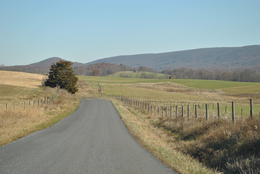
COUNTRY ROAD
Topographic Map of Sam Snead Hwy, Warm Springs, VA, USA
Find elevation by address:

Places near Sam Snead Hwy, Warm Springs, VA, USA:
Dan Ingalls Overlook
Dan Ingalls Overlook
12968 Sam Snead Hwy
Warm Springs Inn
Jefferson Pools
Caddis Lane
Mountain Valley Road
59 Old Germantown Rd
82 Old Mill Rd
99 Courthouse Hill Rd
150 State Rte 625
59 Mcclintic Heights Dr
Warm Springs
2700 Westminster Rd
McClung Dr, Millboro, VA, USA
Bath County
11197 Sam Snead Hwy
3068 River Rd
120 Spring Mountain Rd
120 Spring Mountain Rd
Recent Searches:
- Elevation of Corso Fratelli Cairoli, 35, Macerata MC, Italy
- Elevation of Tallevast Rd, Sarasota, FL, USA
- Elevation of 4th St E, Sonoma, CA, USA
- Elevation of Black Hollow Rd, Pennsdale, PA, USA
- Elevation of Oakland Ave, Williamsport, PA, USA
- Elevation of Pedrógão Grande, Portugal
- Elevation of Klee Dr, Martinsburg, WV, USA
- Elevation of Via Roma, Pieranica CR, Italy
- Elevation of Tavkvetili Mountain, Georgia
- Elevation of Hartfords Bluff Cir, Mt Pleasant, SC, USA