Elevation of Saltville, VA, USA
Location: United States > Virginia > Smyth County >
Longitude: -81.7568253
Latitude: 36.9040378
Elevation: 784m / 2572feet
Barometric Pressure: 0KPa
Related Photos:
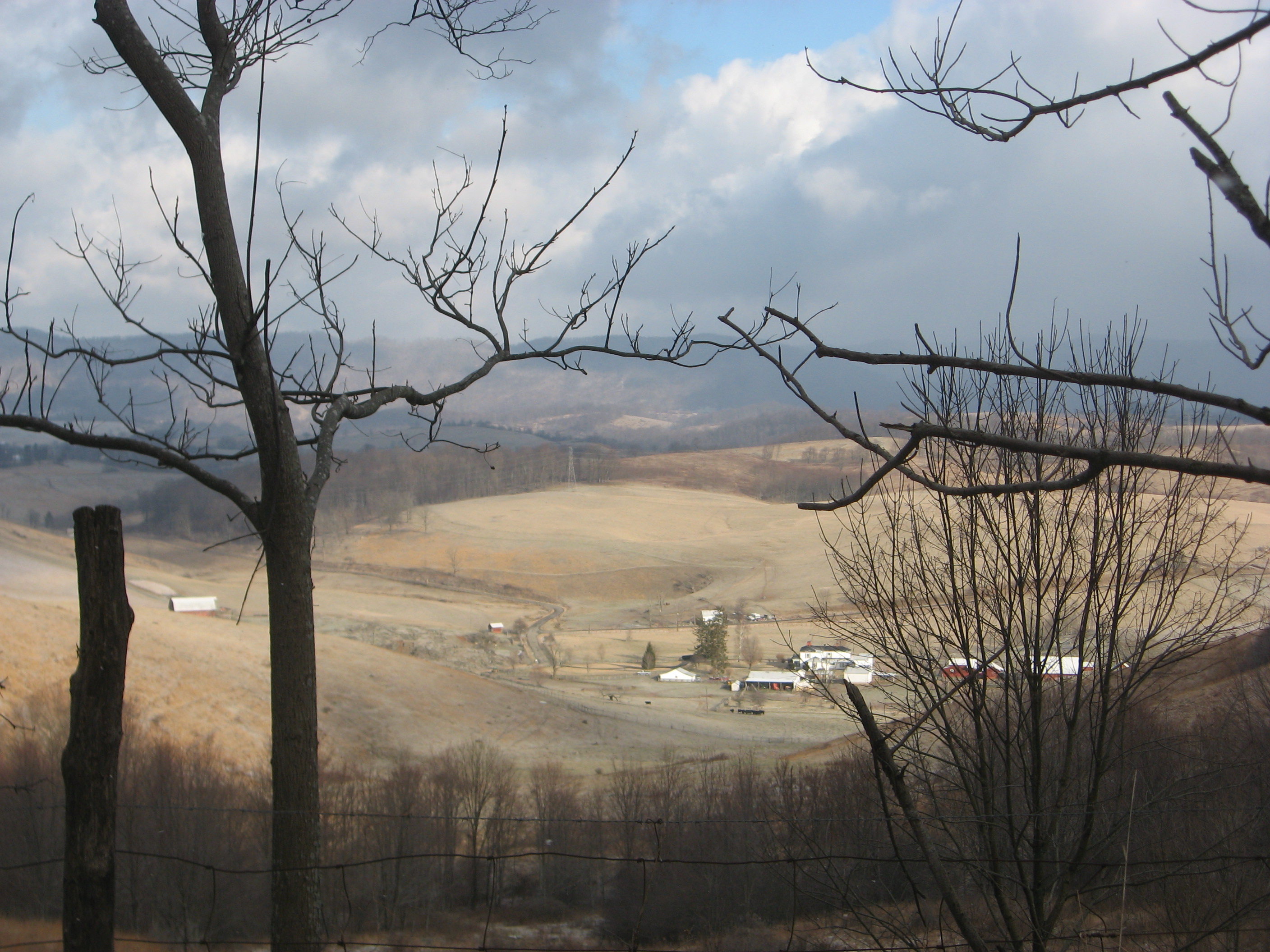
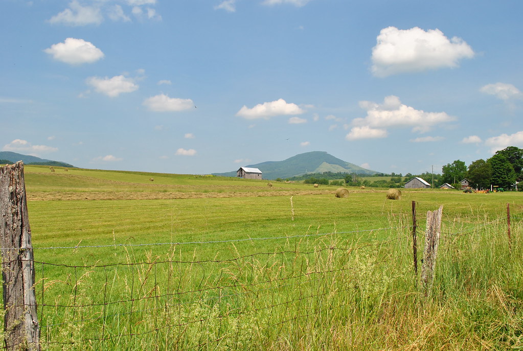
Pulled over for a quick view
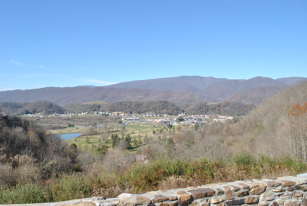
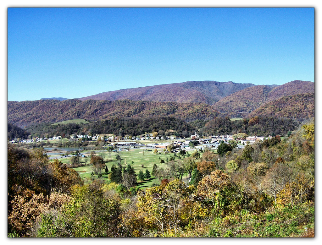
SALTVILLE OVERLOOK
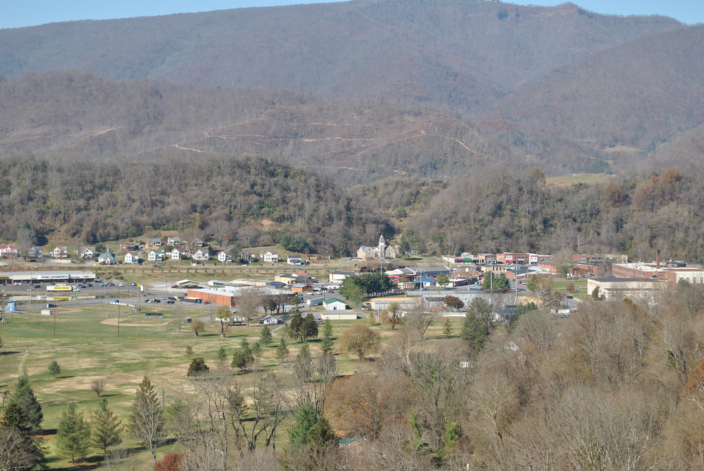
SALTVILLE OVERLOOK
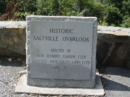
SALTVILLE OVERLOOK
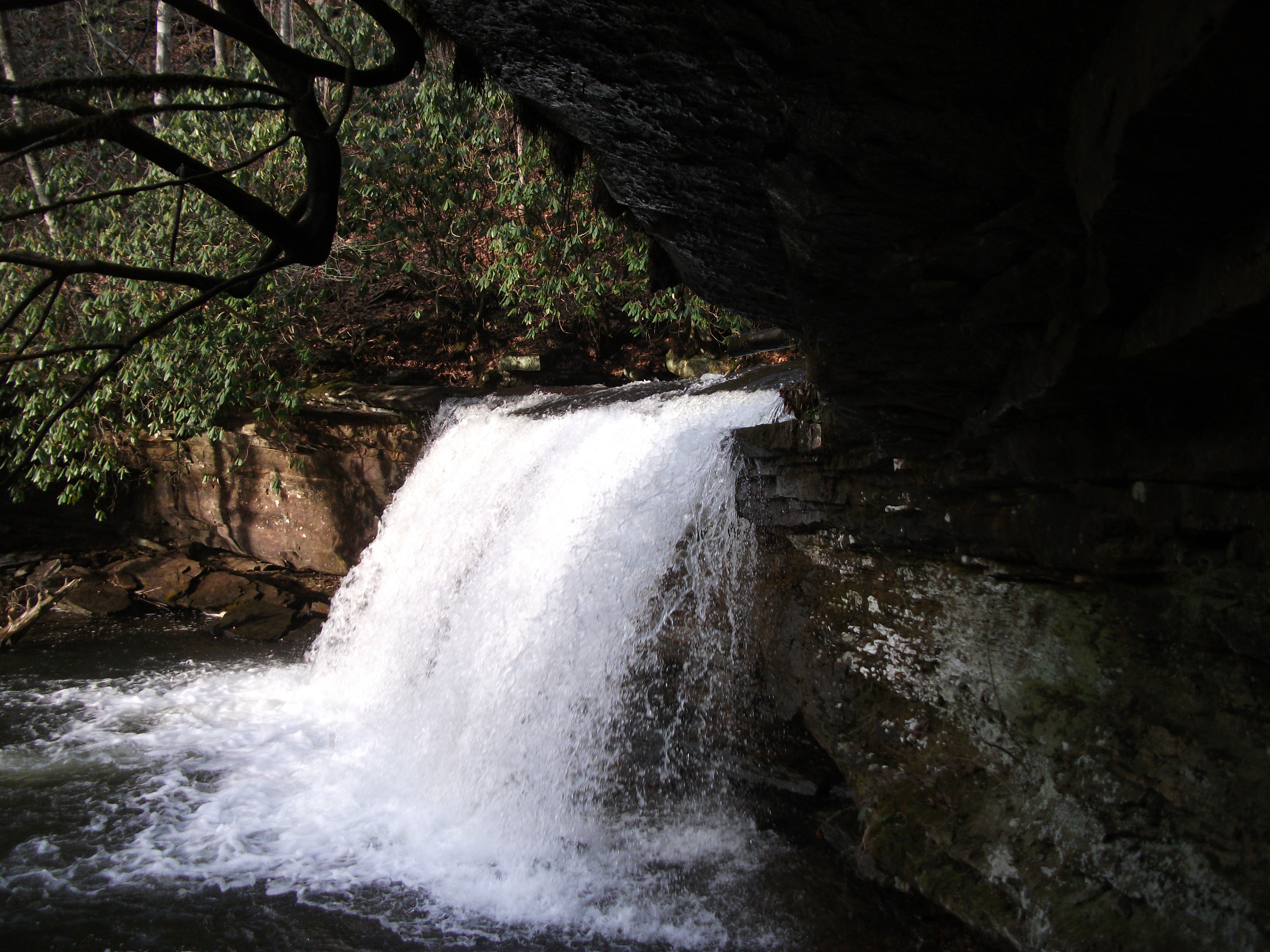
Little Tumbling Falls
More beautiful scenery in va
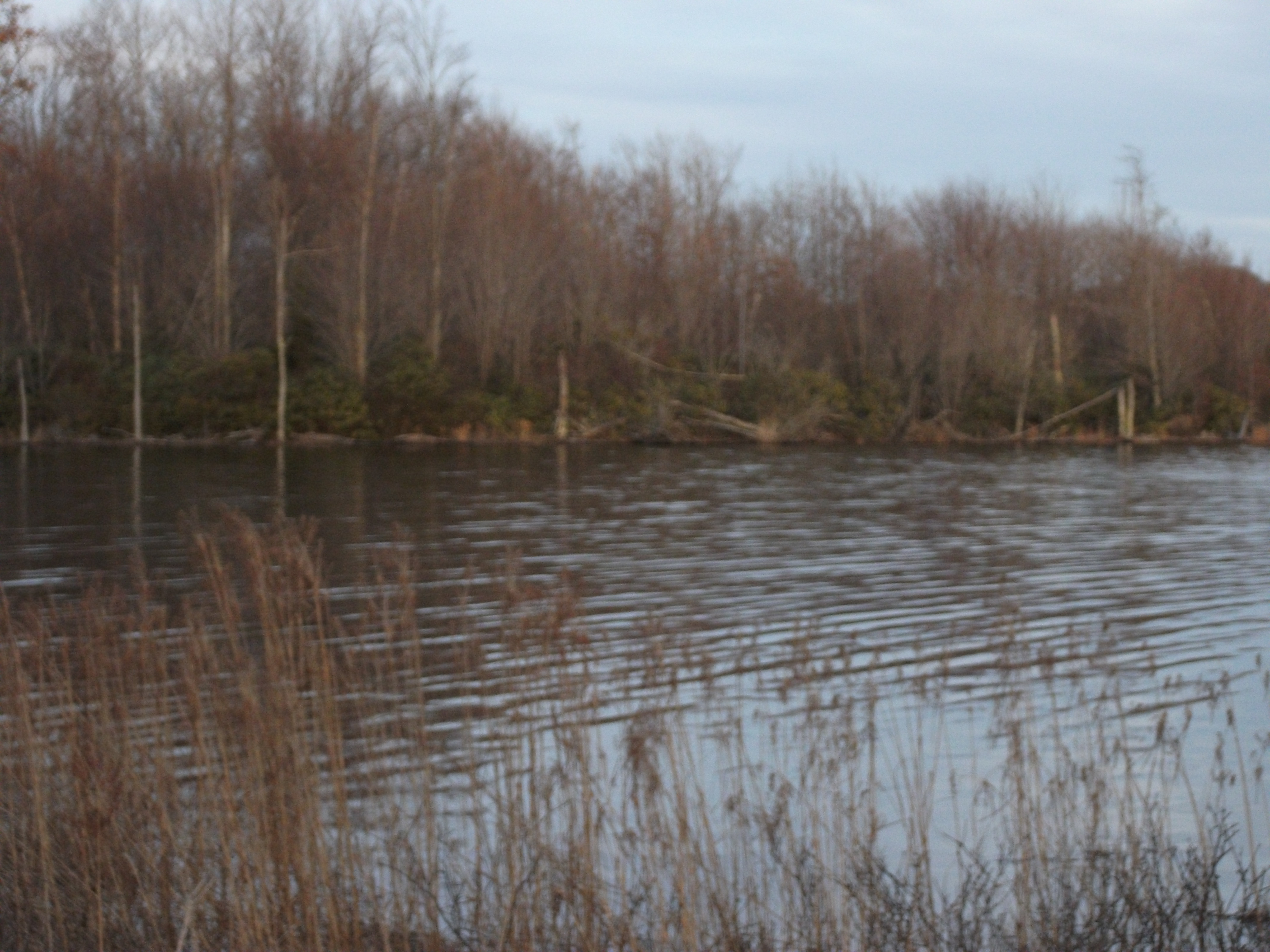
Laurel Bed Lake
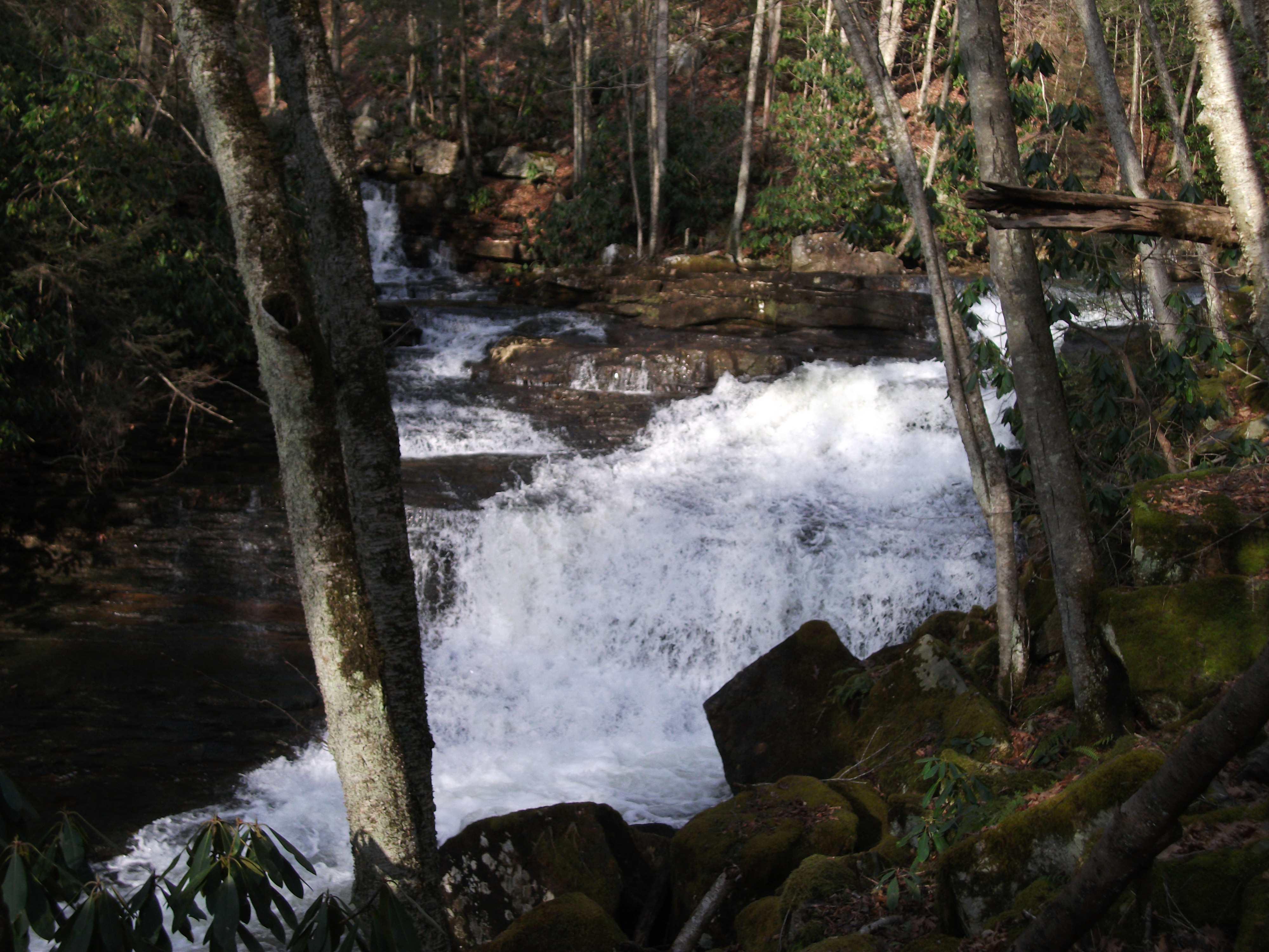
Twin Hollow Falls
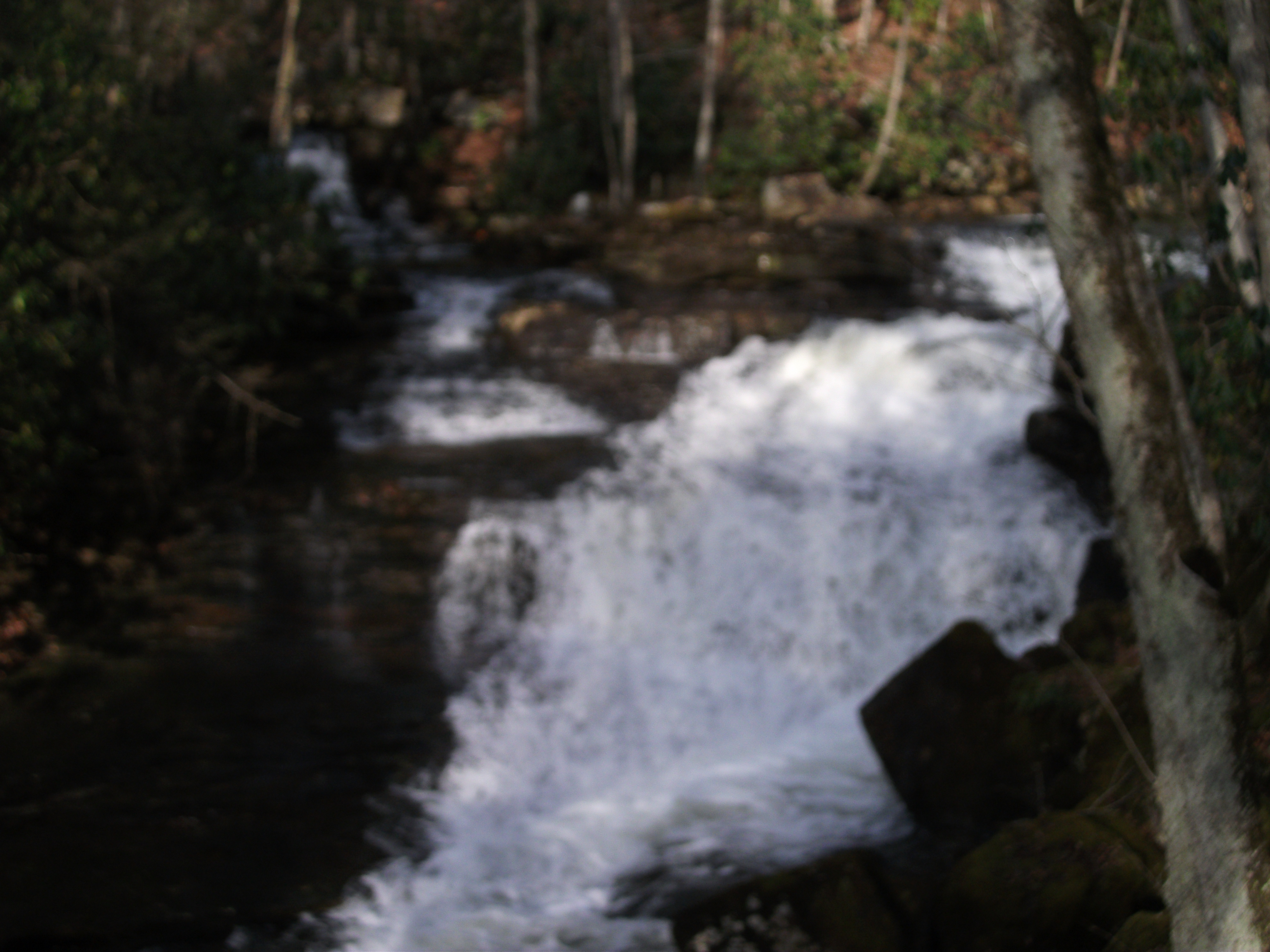
Twin Hollow Falls
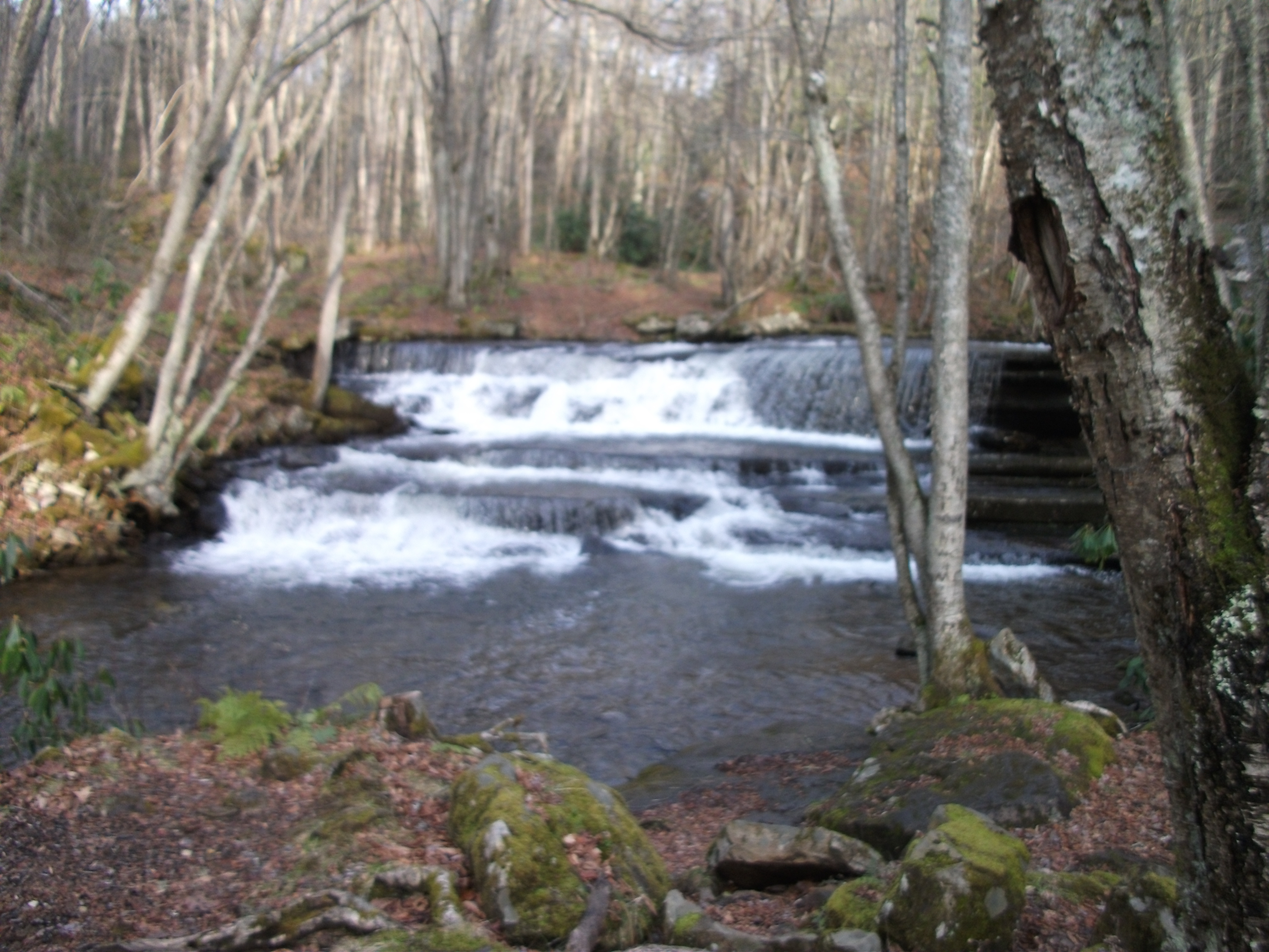
Little Tumbling Falls
Little Tumbling Falls
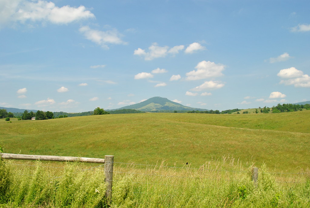
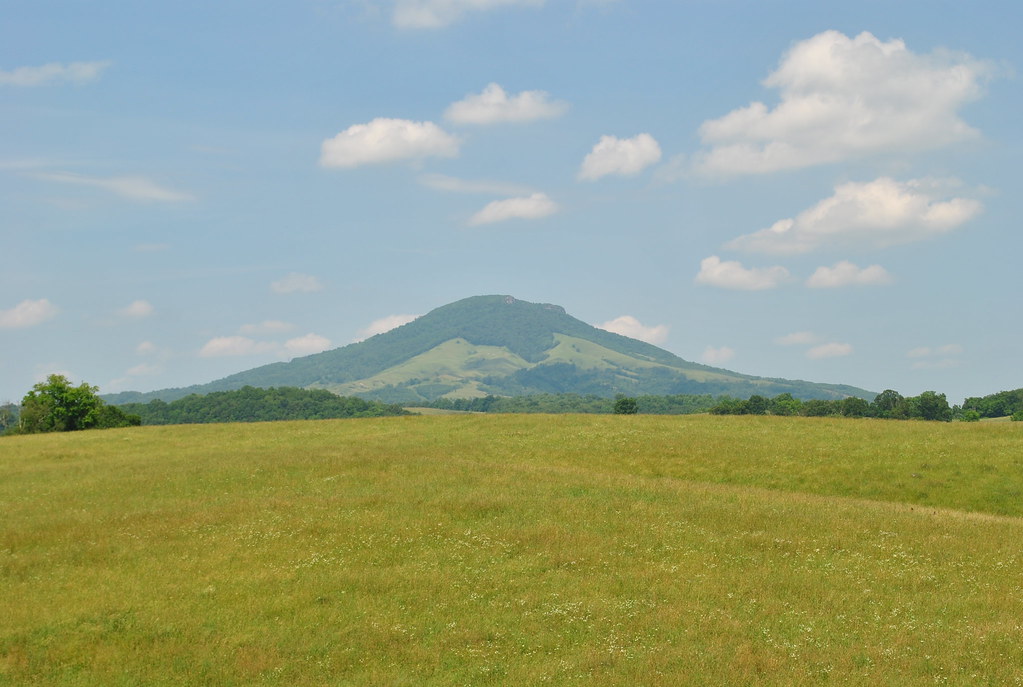
Scenery near Glade Spring
Twin Hollow Falls
THE COVE
Saltville, Virginia
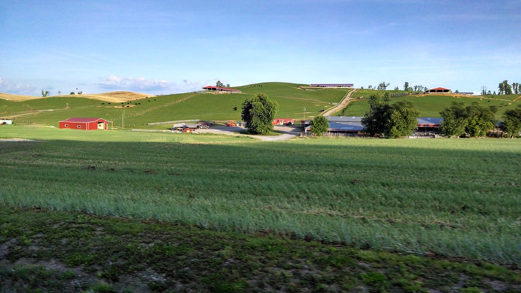
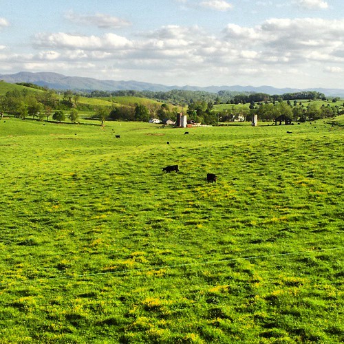
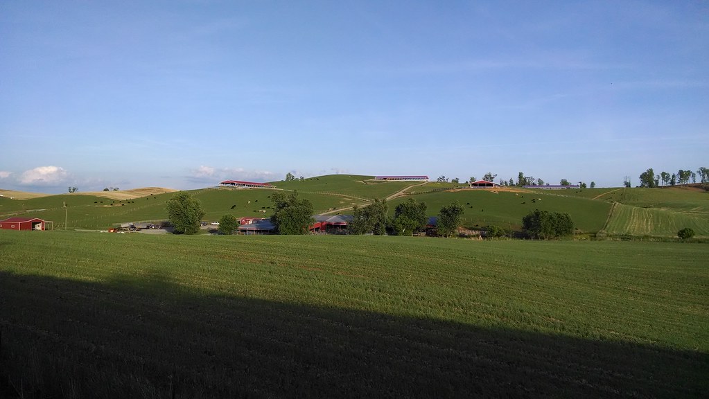
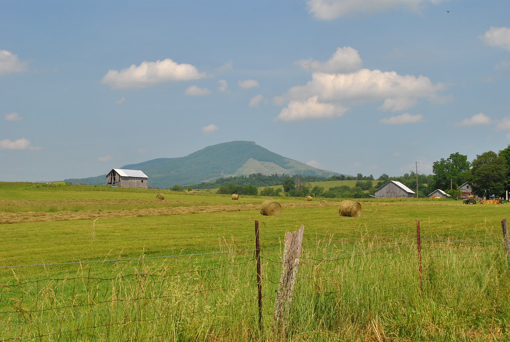
Farms near glade springs
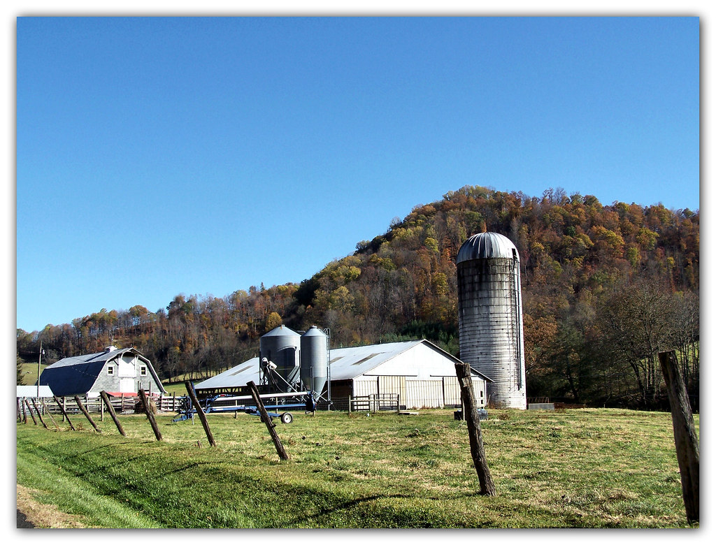
Things You Might See On a Farm
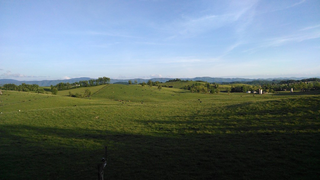
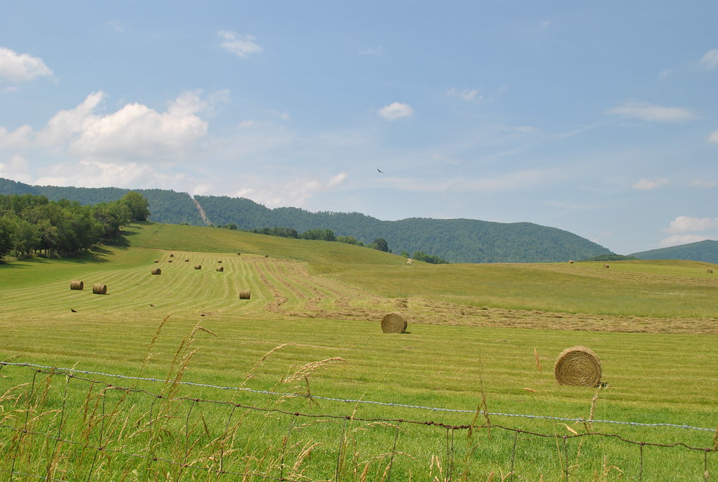
Rolling hills near glade spring
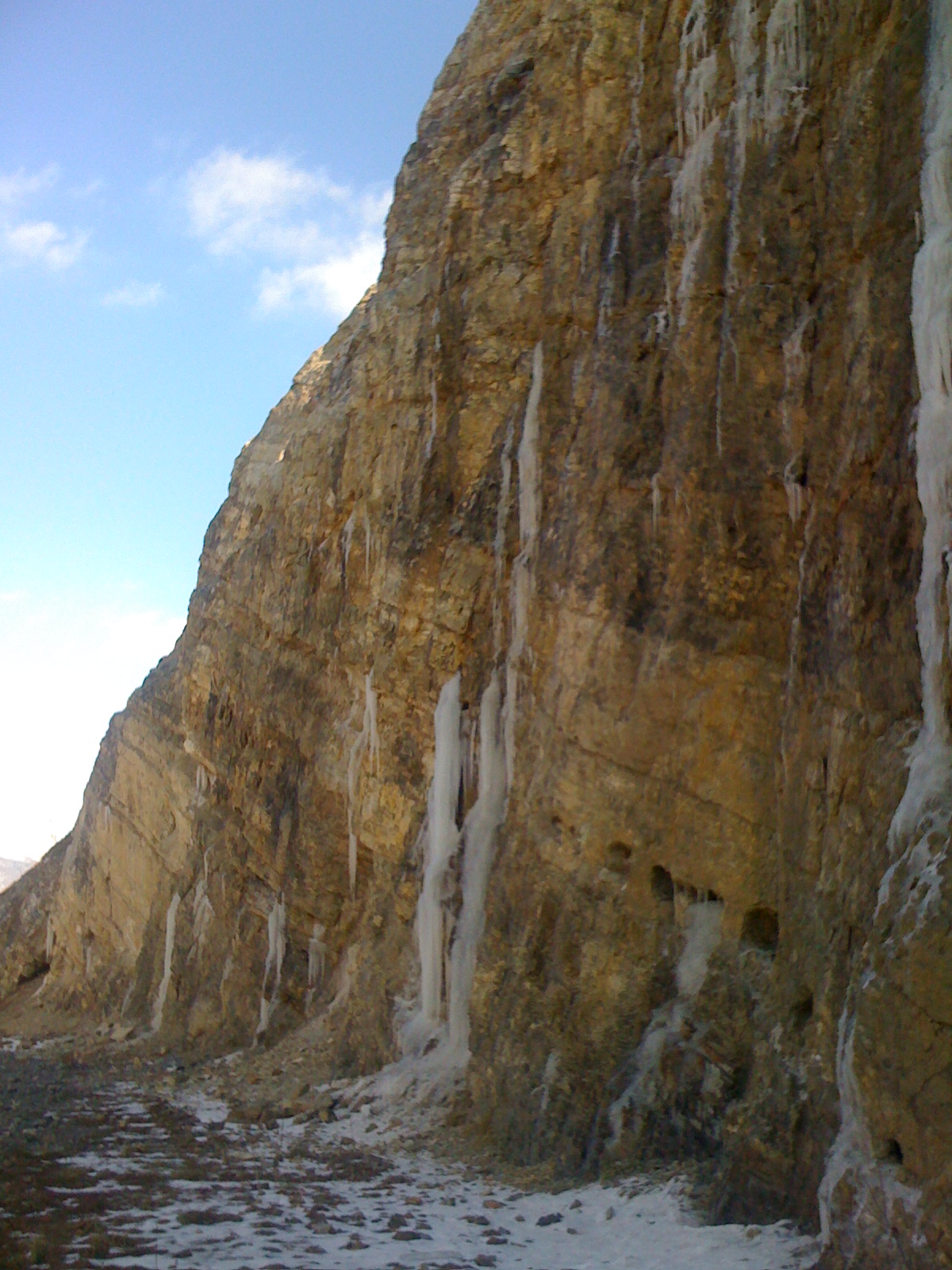
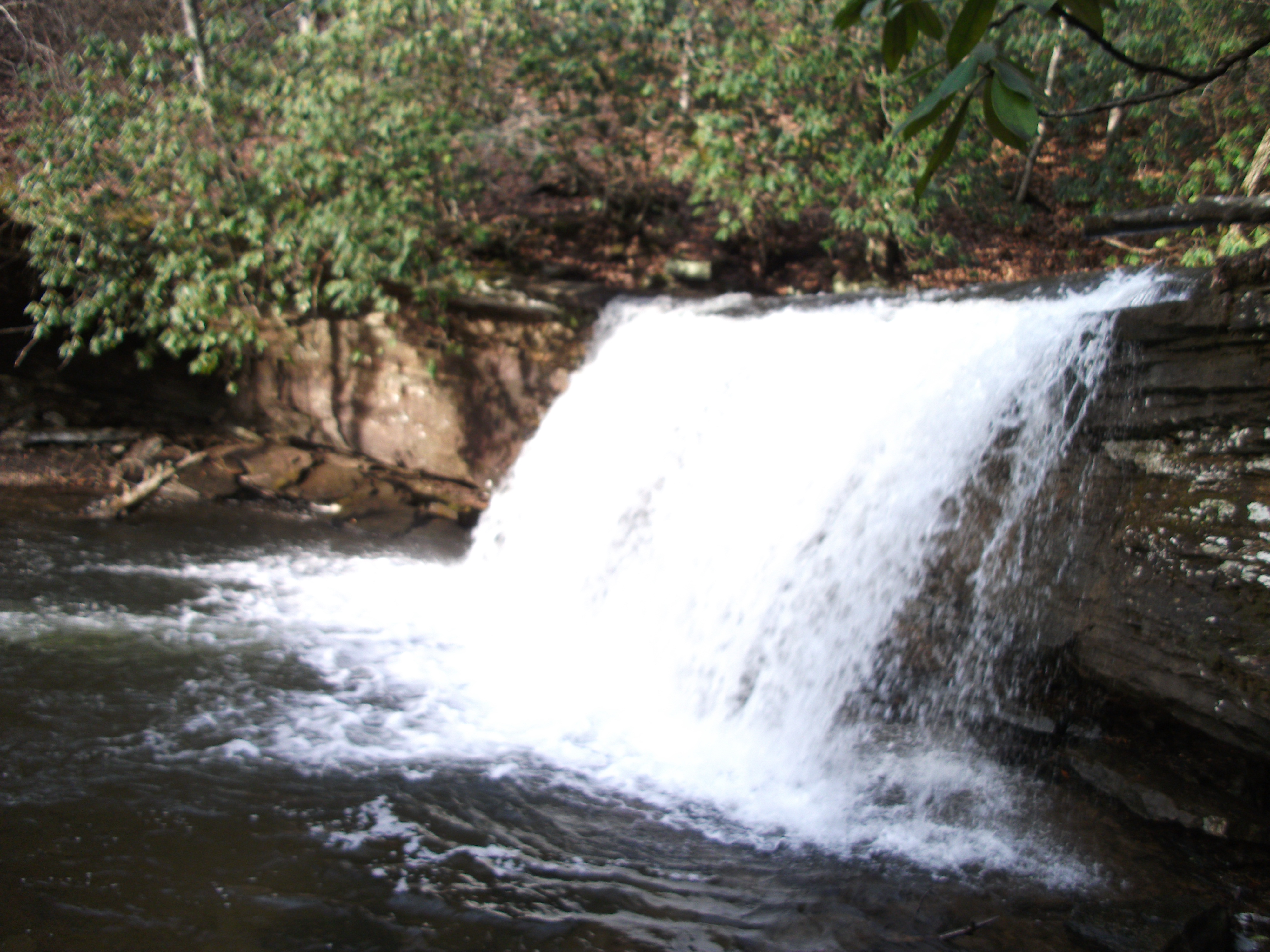
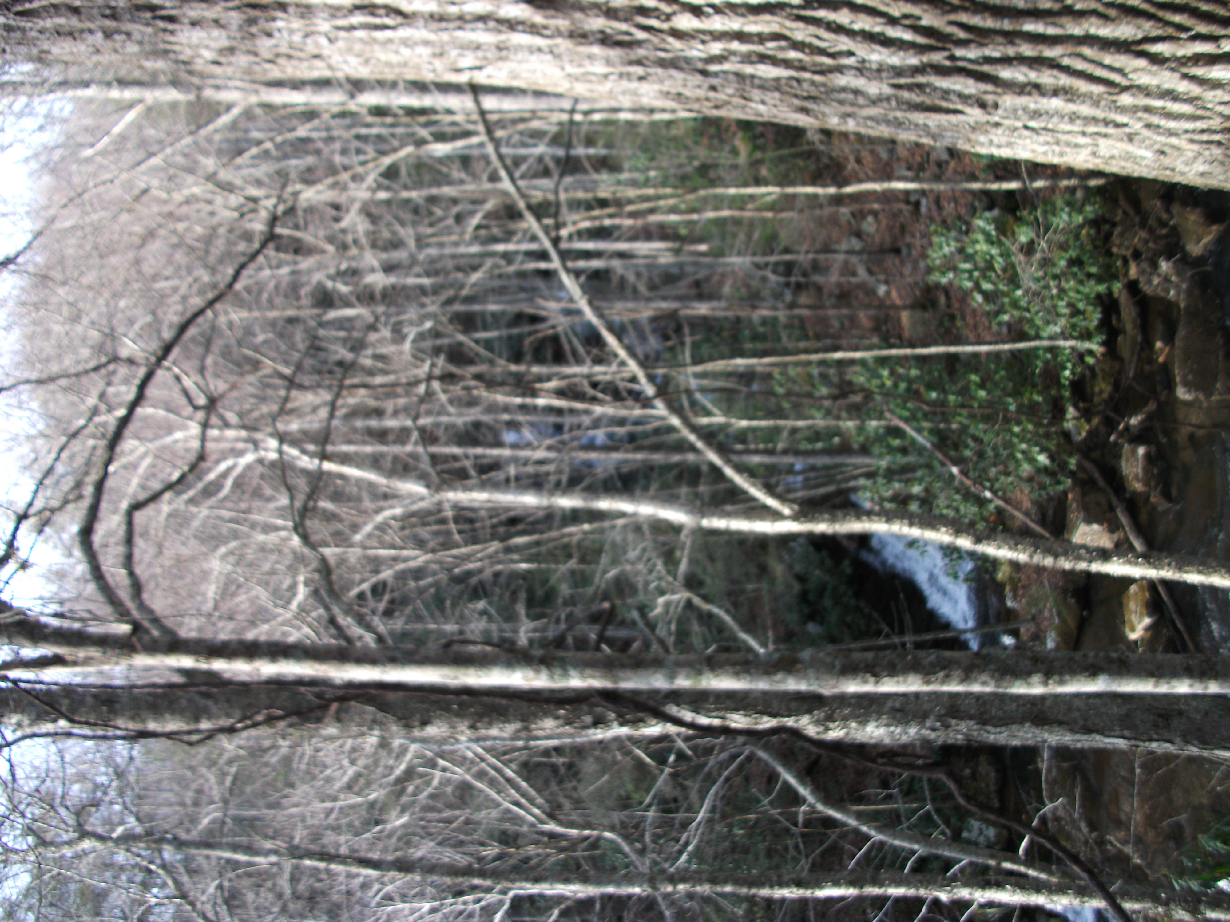
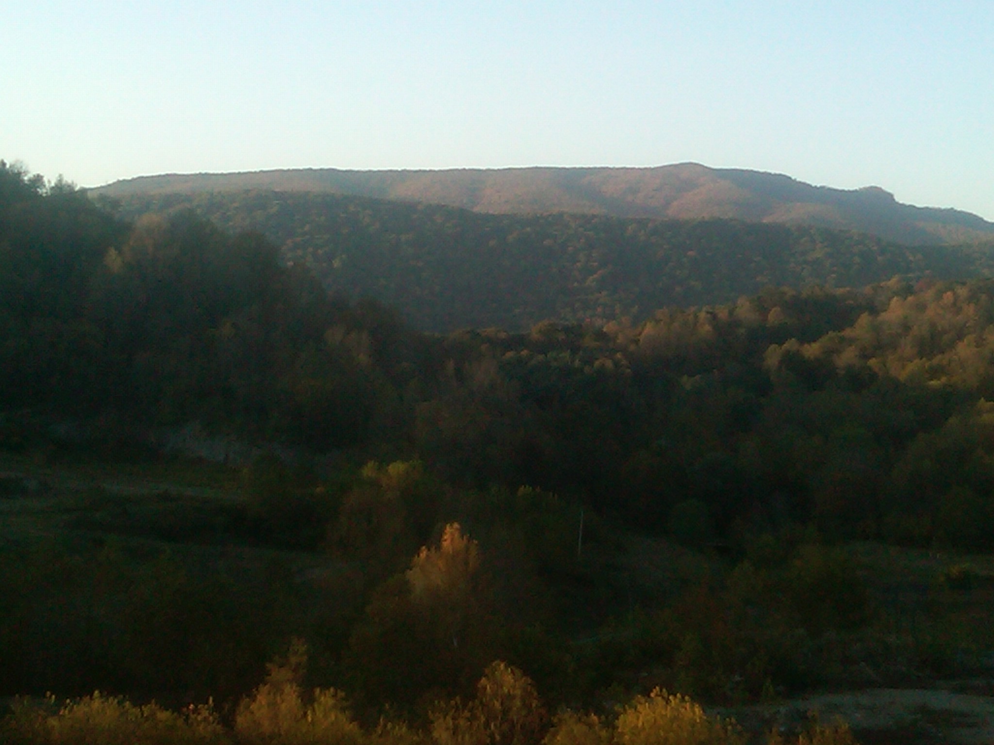
Icicle Waterfalls in Saltville, Virginia
THE COVE
THE COVE
IMG00299-20101010-1814
THE COVE
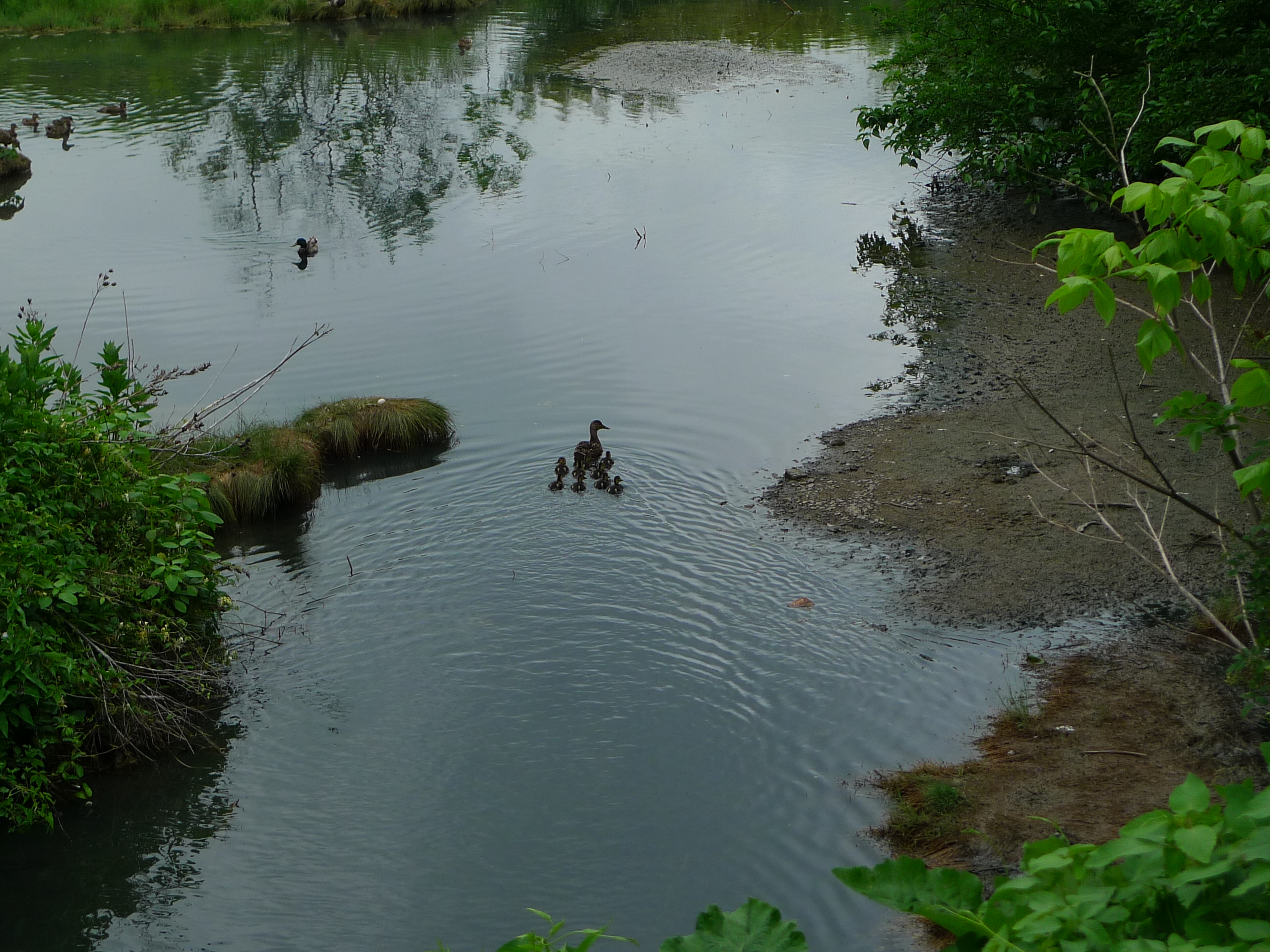
Mama duck and her babies
THE COVE
Topographic Map of Saltville, VA, USA
Find elevation by address:

Places in Saltville, VA, USA:
Places near Saltville, VA, USA:
408 Davidson St
105 Government Plant Rd
Allison Gap Road
1830 Riverdale Rd
Saltville
634 Pine Dr
628 Pine Dr
Cove Street
Blue Grass Trail
Saltville Hwy, Saltville, VA, USA
Virginia 91
429 Almond Ln
1001 Palmer Ave
190 Saddleback Rd
240 Beaver Creek Rd
Pearl Drive
8315 Buchanan Rd
Poor Valley Road
Plum Creek Road
Crescent Rd, Glade Spring, VA, USA
Recent Searches:
- Elevation map of Greenland, Greenland
- Elevation of Sullivan Hill, New York, New York, 10002, USA
- Elevation of Morehead Road, Withrow Downs, Charlotte, Mecklenburg County, North Carolina, 28262, USA
- Elevation of 2800, Morehead Road, Withrow Downs, Charlotte, Mecklenburg County, North Carolina, 28262, USA
- Elevation of Yangbi Yi Autonomous County, Yunnan, China
- Elevation of Pingpo, Yangbi Yi Autonomous County, Yunnan, China
- Elevation of Mount Malong, Pingpo, Yangbi Yi Autonomous County, Yunnan, China
- Elevation map of Yongping County, Yunnan, China
- Elevation of North 8th Street, Palatka, Putnam County, Florida, 32177, USA
- Elevation of 107, Big Apple Road, East Palatka, Putnam County, Florida, 32131, USA
- Elevation of Jiezi, Chongzhou City, Sichuan, China
- Elevation of Chongzhou City, Sichuan, China
- Elevation of Huaiyuan, Chongzhou City, Sichuan, China
- Elevation of Qingxia, Chengdu, Sichuan, China
- Elevation of Corso Fratelli Cairoli, 35, Macerata MC, Italy
- Elevation of Tallevast Rd, Sarasota, FL, USA
- Elevation of 4th St E, Sonoma, CA, USA
- Elevation of Black Hollow Rd, Pennsdale, PA, USA
- Elevation of Oakland Ave, Williamsport, PA, USA
- Elevation of Pedrógão Grande, Portugal