Elevation of Saltville, VA, USA
Location: United States > Virginia > Washington County > Jefferson >
Longitude: -81.762063
Latitude: 36.8815031
Elevation: 528m / 1732feet
Barometric Pressure: 95KPa
Elevation Map:
Satellite Map:
Related Photos:
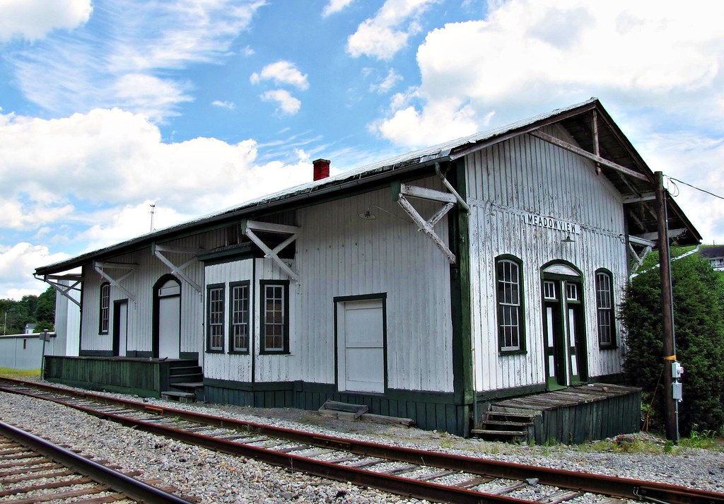
Meadowview, Virginia
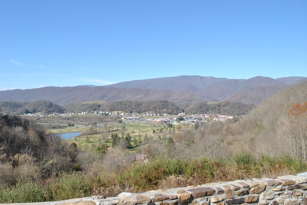
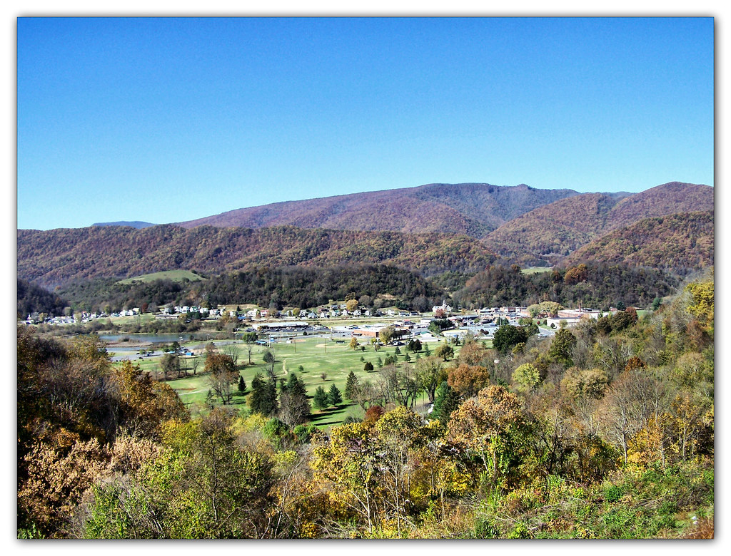
SALTVILLE OVERLOOK
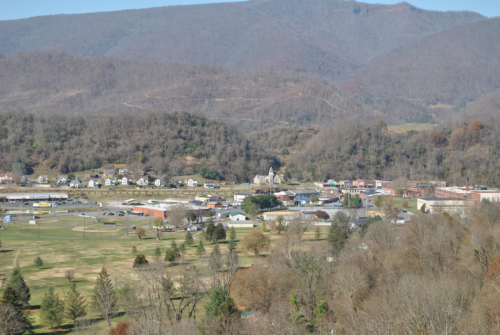
SALTVILLE OVERLOOK
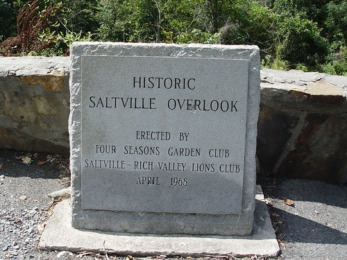
SALTVILLE OVERLOOK
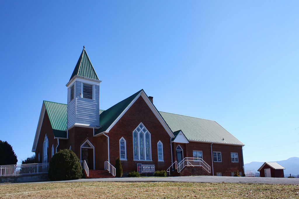
Mountain View United Methodist Church
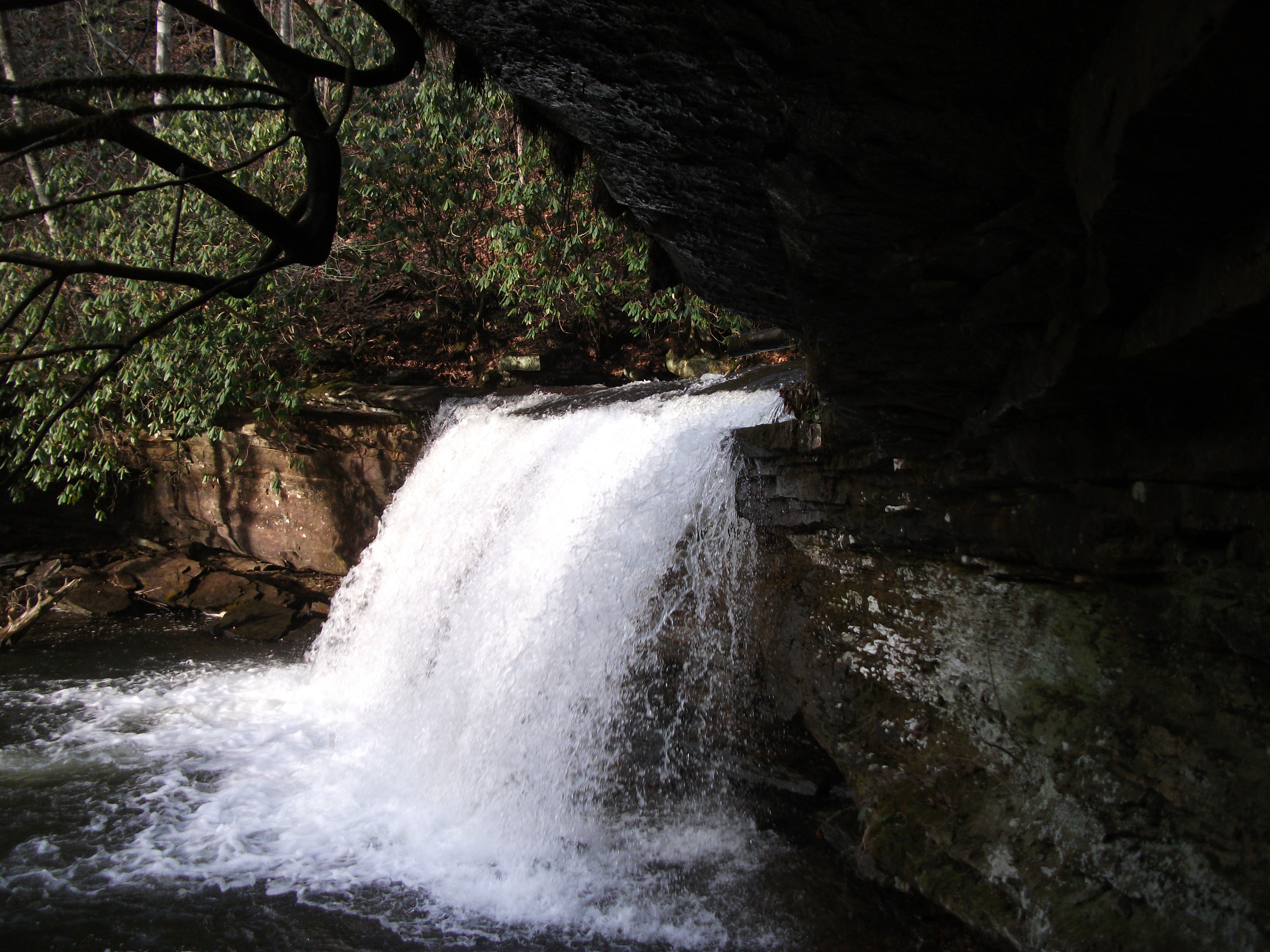
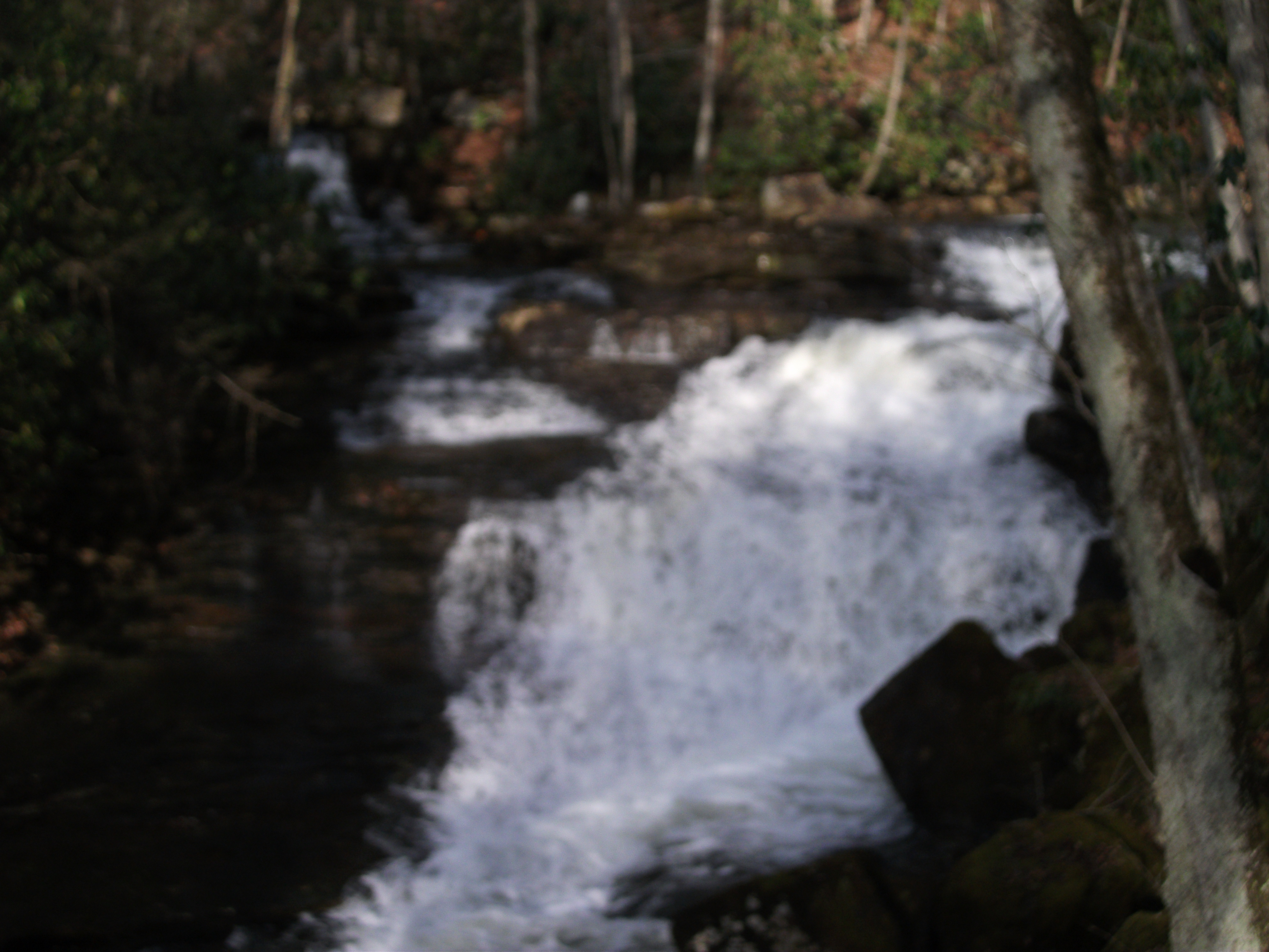
Little Tumbling Falls
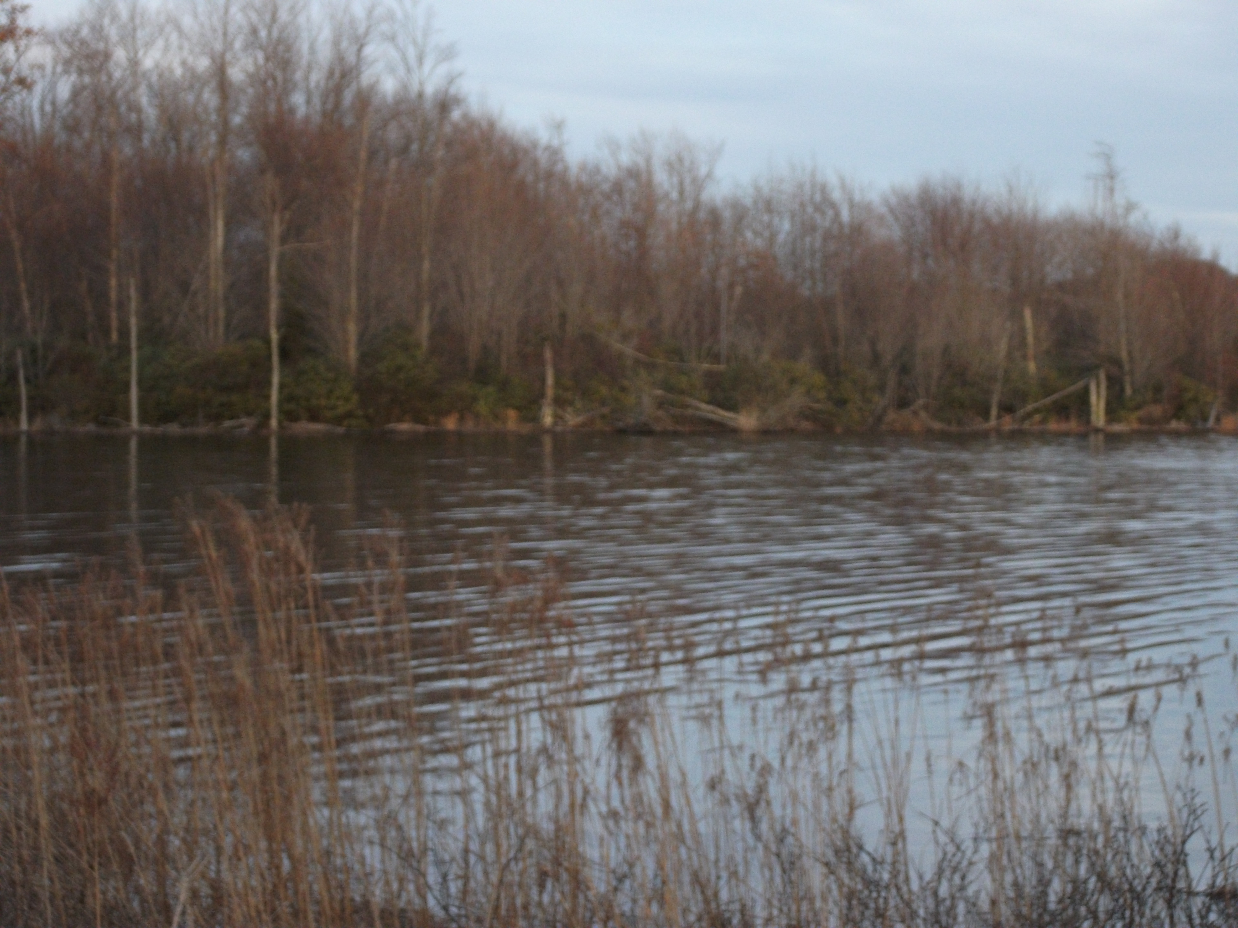
Laurel Bed Lake
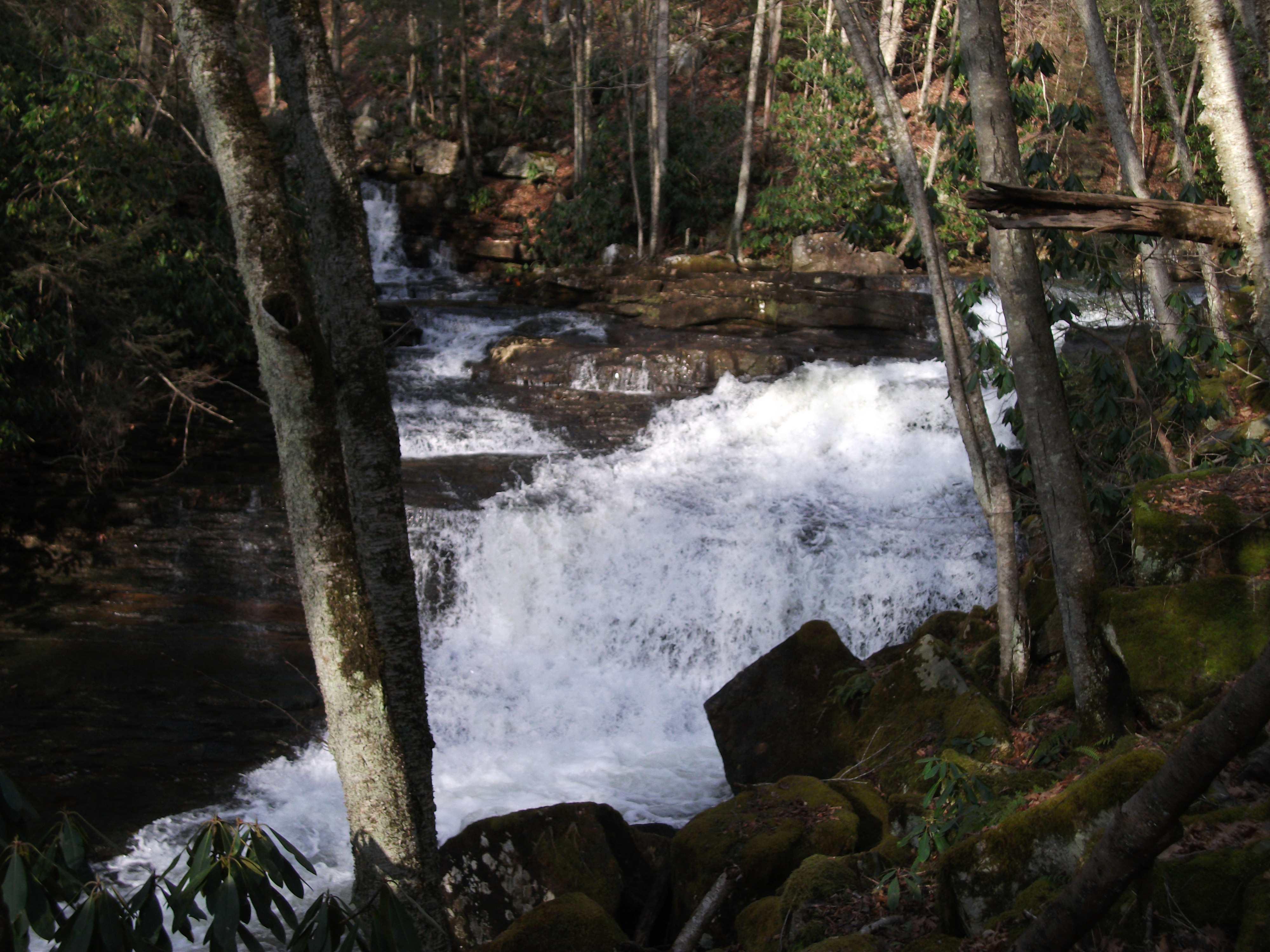
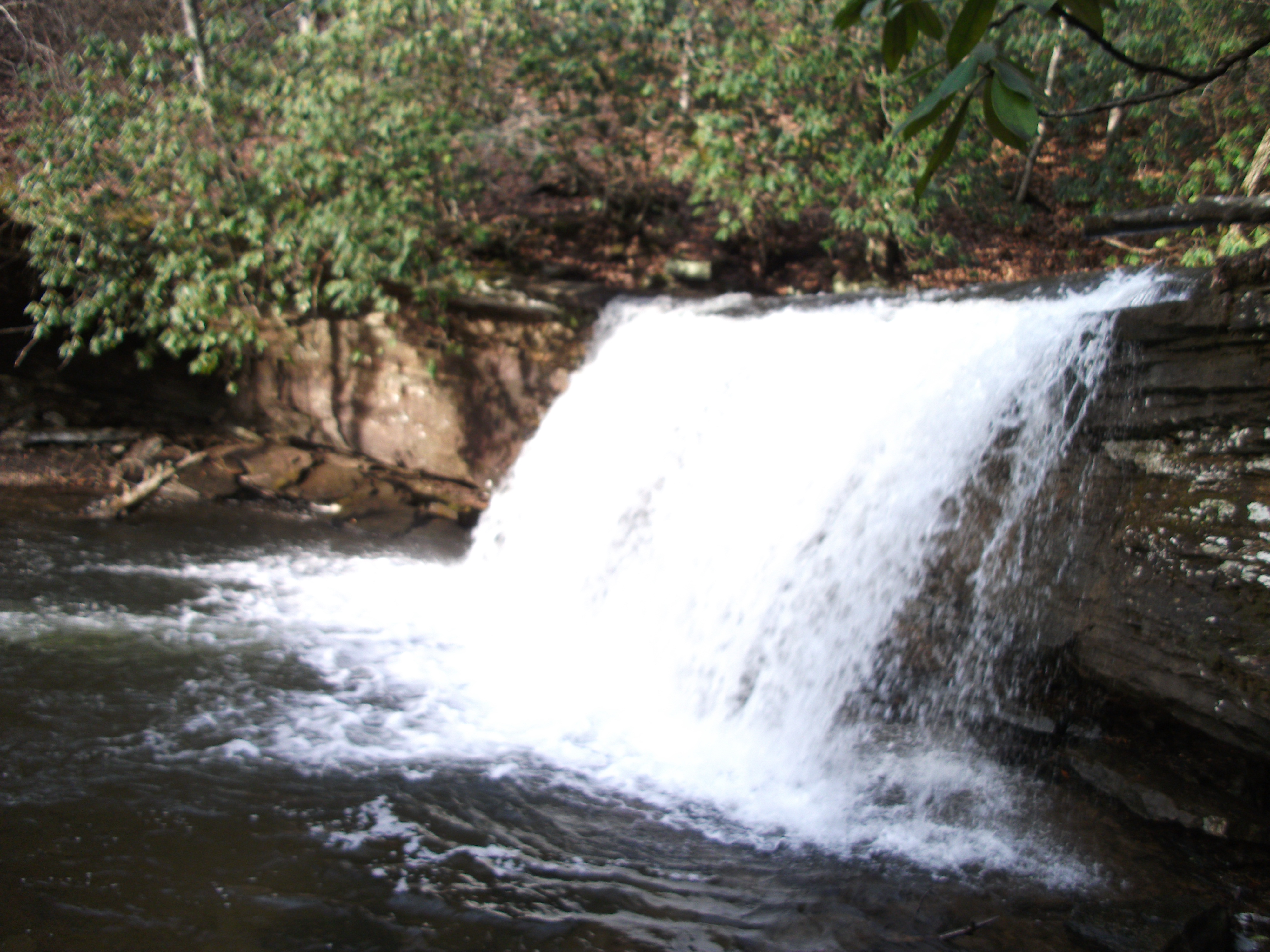
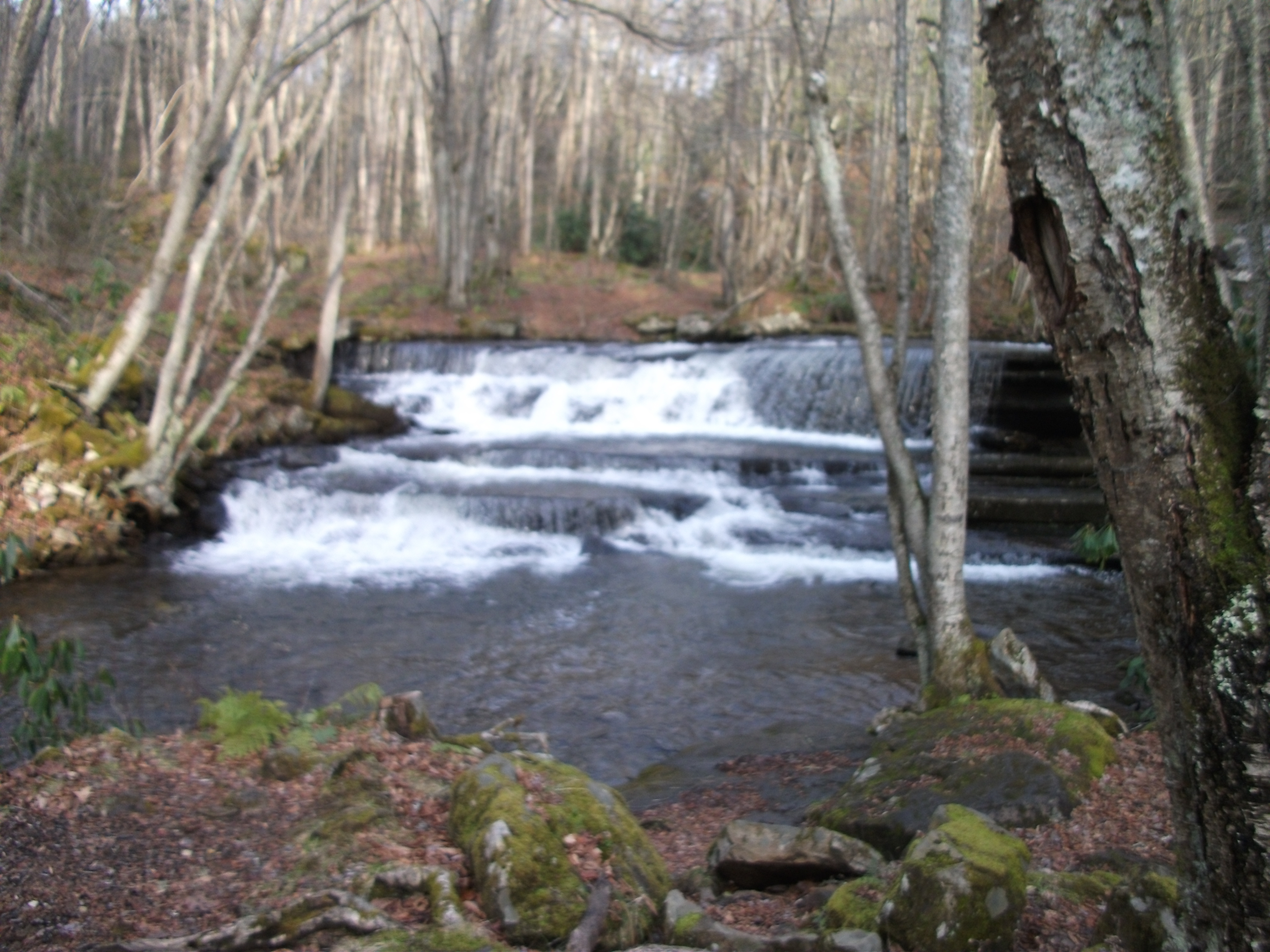
Twin Hollow Falls
Twin Hollow Falls
Little Tumbling Falls
IMG_2854.jpg
IMG_2853.jpg
Little Tumbling Falls
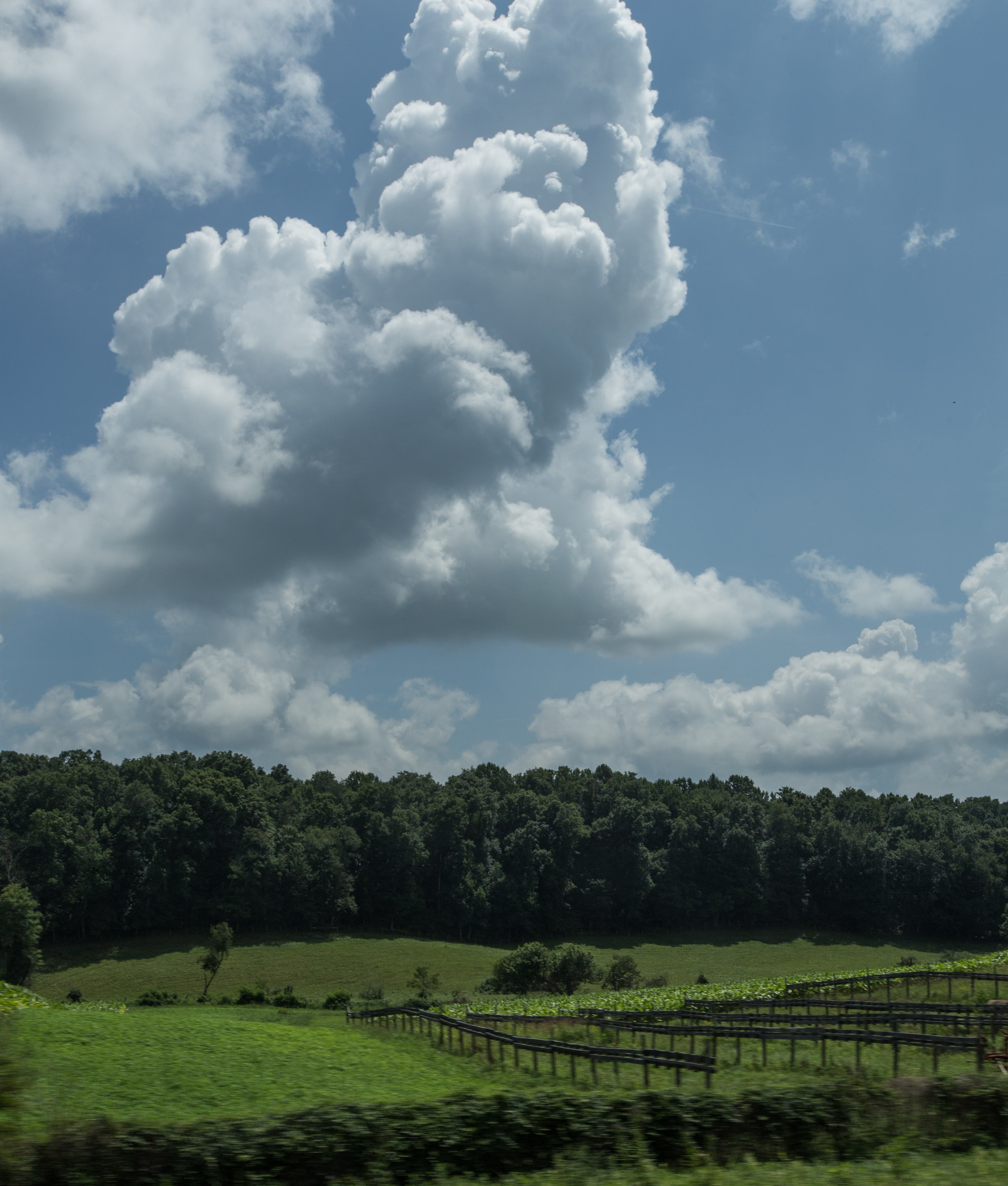
Scenery near Glade Spring
Twin Hollow Falls
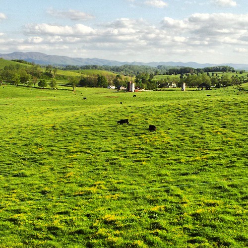
Saltville, Virginia
More beautiful scenery in va
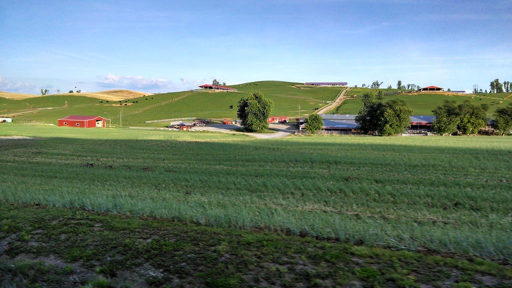
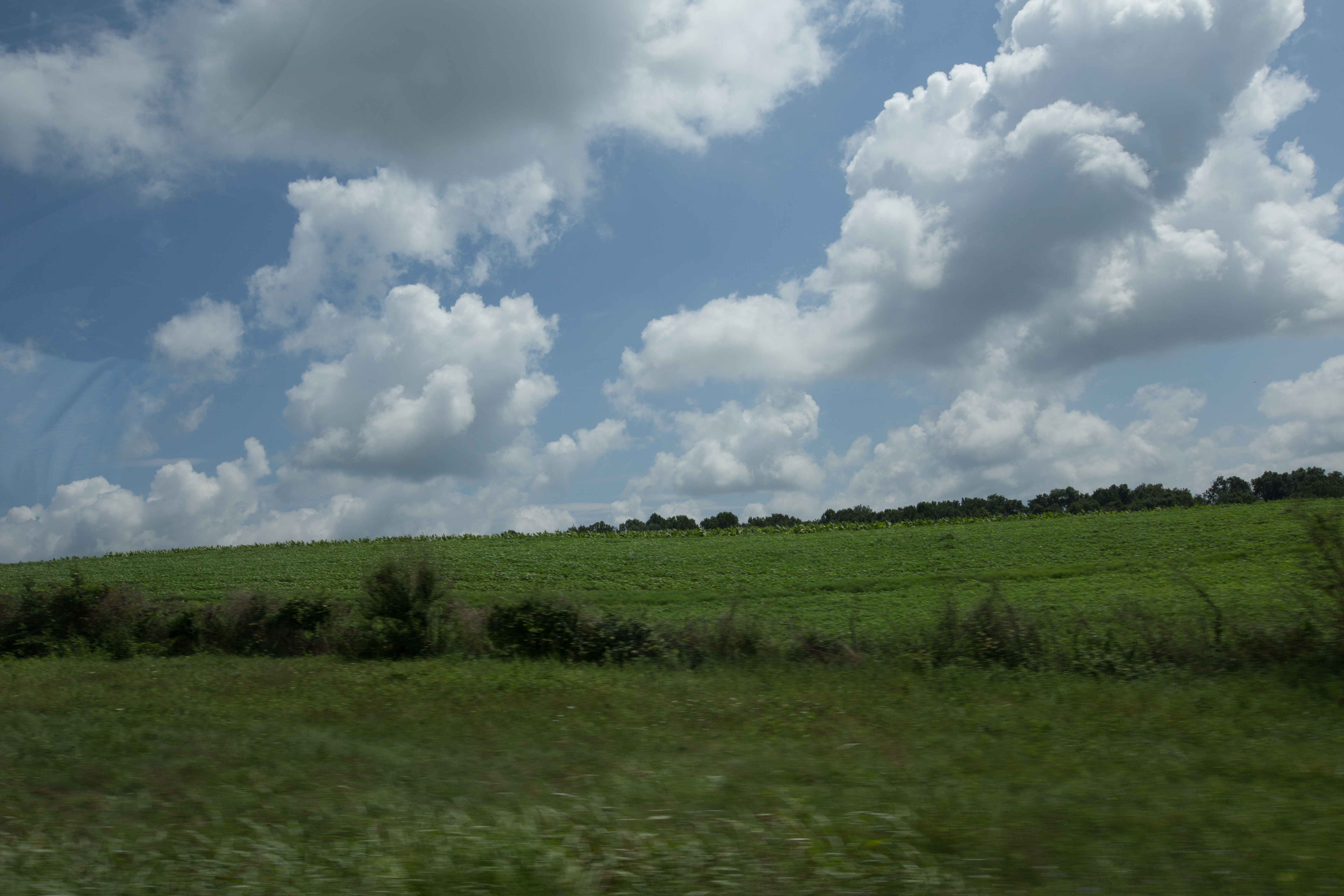
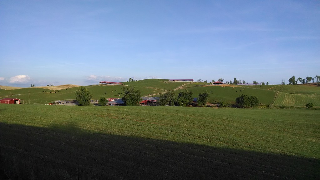
Farms near glade springs
Topographic Map of Saltville, VA, USA
Find elevation by address:

Places in Saltville, VA, USA:
Poor Valley Road
Eagles Nest Rd, Saltville, VA, USA
Saltville Hwy, Saltville, VA, USA
Cove Street
Allison Gap Road
Hill Lane
Blue Grass Trail
Virginia 91
Pearl Drive
Armstrong Hollow Lane
Armstrong Hollow Lane
Places near Saltville, VA, USA:
105 Government Plant Rd
Blue Grass Trail
408 Davidson St
Allison Gap Road
Saltville
1001 Palmer Ave
Cove Street
429 Almond Ln
190 Saddleback Rd
634 Pine Dr
628 Pine Dr
1830 Riverdale Rd
Saltville Hwy, Saltville, VA, USA
8315 Buchanan Rd
Virginia 91
Pearl Drive
Crescent Rd, Glade Spring, VA, USA
Plum Creek Road
Old Mill Rd, Glade Spring, VA, USA
240 Beaver Creek Rd
Recent Searches:
- Elevation of Corso Fratelli Cairoli, 35, Macerata MC, Italy
- Elevation of Tallevast Rd, Sarasota, FL, USA
- Elevation of 4th St E, Sonoma, CA, USA
- Elevation of Black Hollow Rd, Pennsdale, PA, USA
- Elevation of Oakland Ave, Williamsport, PA, USA
- Elevation of Pedrógão Grande, Portugal
- Elevation of Klee Dr, Martinsburg, WV, USA
- Elevation of Via Roma, Pieranica CR, Italy
- Elevation of Tavkvetili Mountain, Georgia
- Elevation of Hartfords Bluff Cir, Mt Pleasant, SC, USA