Elevation of Saloman Rd, Fort Garland, CO, USA
Location: United States > Colorado > Fort Garland >
Longitude: -105.38269
Latitude: 37.4150013
Elevation: 2483m / 8146feet
Barometric Pressure: 75KPa
Elevation Map:
Satellite Map:
Related Photos:

Blanca peak

Blanca Peak group

Bandhara Views 9-12-2011 : DSCN0293

Sierra Blanca Massif. View 2

Sierra Blanca Massif. View 1

Crossbucks and the Sangre de Cristos

San Juan Valley

Mountain View Lake

Mountain View Reservoir

San Juan Valley

The End

View from Cordova Pass
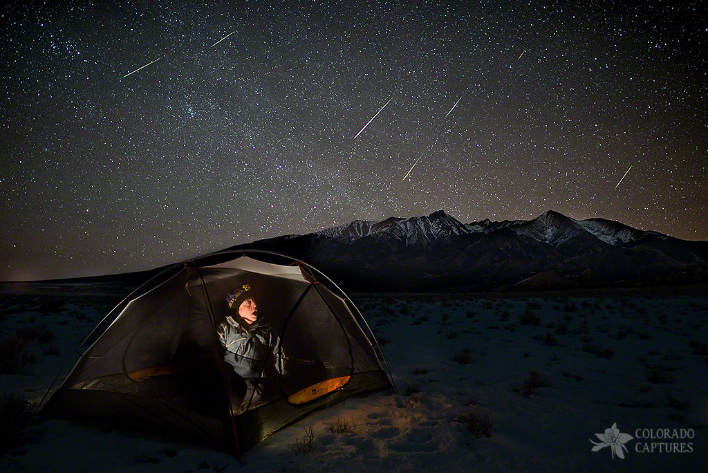
Taking Cover From The Quadrantids Meteor Shower
Blanca Peak, Extra Whip

Rattlesnake Trestle, Blanca, Colorado

San Luis Valley, Colorado

Culebra Peak closeup from C-159

Culebra Peak Reflection

Blanca Peak Group, Colorado

Descending La Veta Pass

Colorful Colorado

Sierra Blanca Massif.

Mount Blanca Sunrise

Blanca Peak, U.S. Route 160 West Between Walsenburg and Alamosa, Colorado

San Luis Valley Landscape

Blanca Peak, U.S. Route 160 Between Fort Garland and Blanca, Colorado

Blanca Peak, U.S. Route 160 Between Fort Garland and Blanca, Colorado

San Luis Valley Southern Railway Trestle

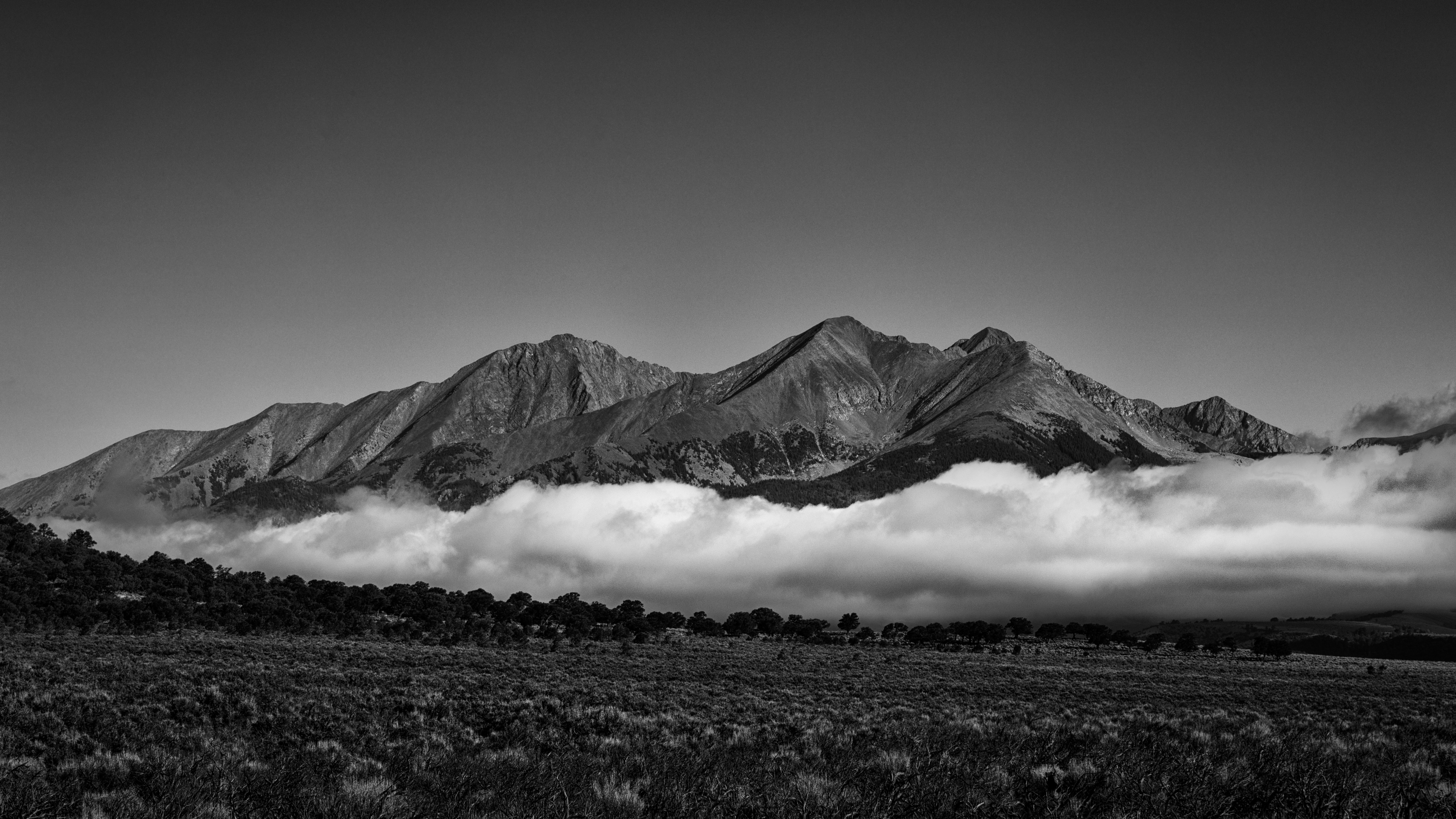
Sierra Blanca Mountains from Fort Garland, Fort Garland, CO
Topographic Map of Saloman Rd, Fort Garland, CO, USA
Find elevation by address:

Places near Saloman Rd, Fort Garland, CO, USA:
Mead Road
Galloway Road
4617 Beekman Rd
Beekman Road
3704 Hartgrave Rd
7001 Valerie Rd
Valerie Road North
7002 Valerie Rd N
411 Us-160
7002 Valerie Rd N
Sangre De Cristo Ranches
Fort Garland
7191 Burnham Rd
Reg Jones Rd
71685 Fernow
Red Jones Road
7436 Waligunda Rd
Juarez Road
Leonard Road
18591 Wilking Rd
Recent Searches:
- Elevation of Corso Fratelli Cairoli, 35, Macerata MC, Italy
- Elevation of Tallevast Rd, Sarasota, FL, USA
- Elevation of 4th St E, Sonoma, CA, USA
- Elevation of Black Hollow Rd, Pennsdale, PA, USA
- Elevation of Oakland Ave, Williamsport, PA, USA
- Elevation of Pedrógão Grande, Portugal
- Elevation of Klee Dr, Martinsburg, WV, USA
- Elevation of Via Roma, Pieranica CR, Italy
- Elevation of Tavkvetili Mountain, Georgia
- Elevation of Hartfords Bluff Cir, Mt Pleasant, SC, USA