Elevation of Salem Township, East Central Franklin, ME, USA
Location: United States > Maine > Franklin County > East Central Franklin >
Longitude: -70.278122
Latitude: 44.900612
Elevation: 262m / 860feet
Barometric Pressure: 98KPa
Elevation Map:
Satellite Map:
Related Photos:
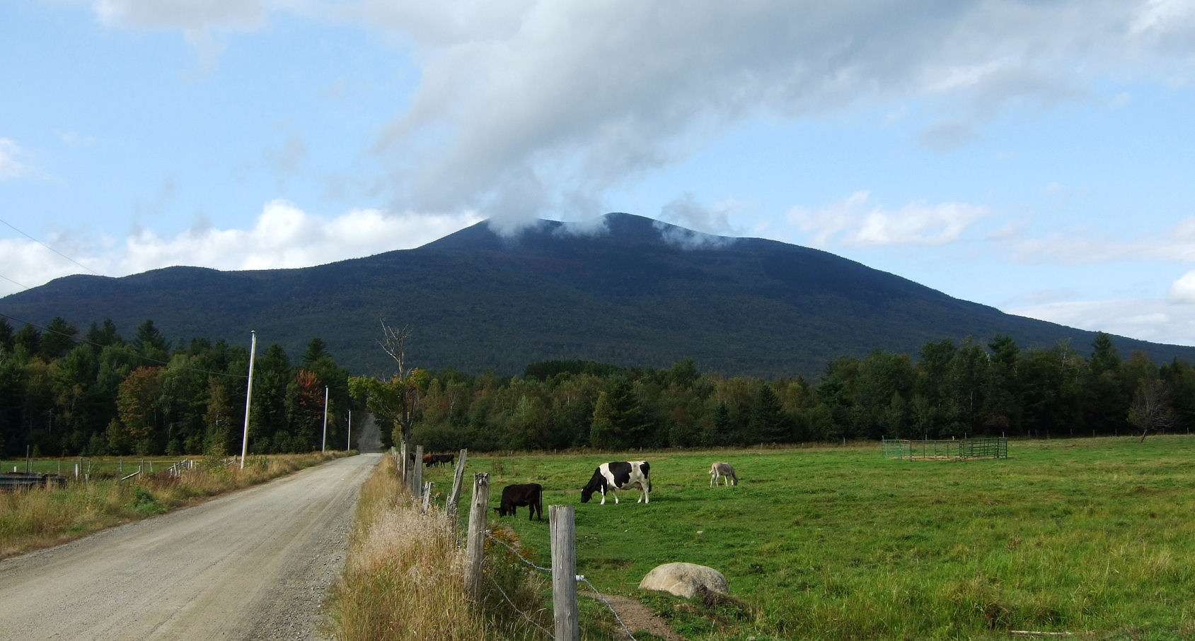
Salem Maine Cow Cattle & Donkey

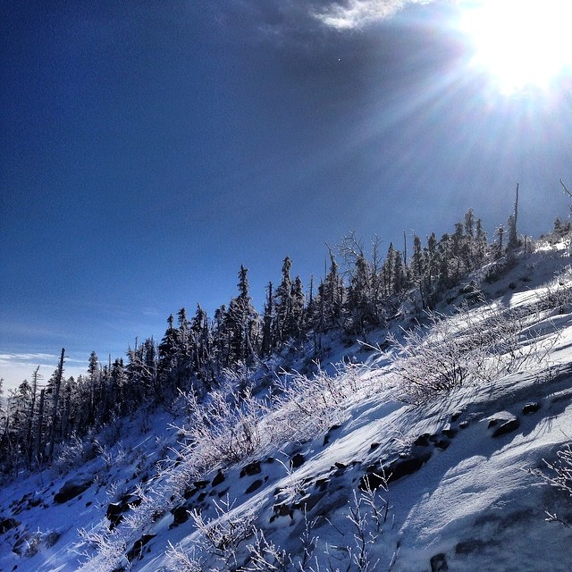
Yesterday's view from the top

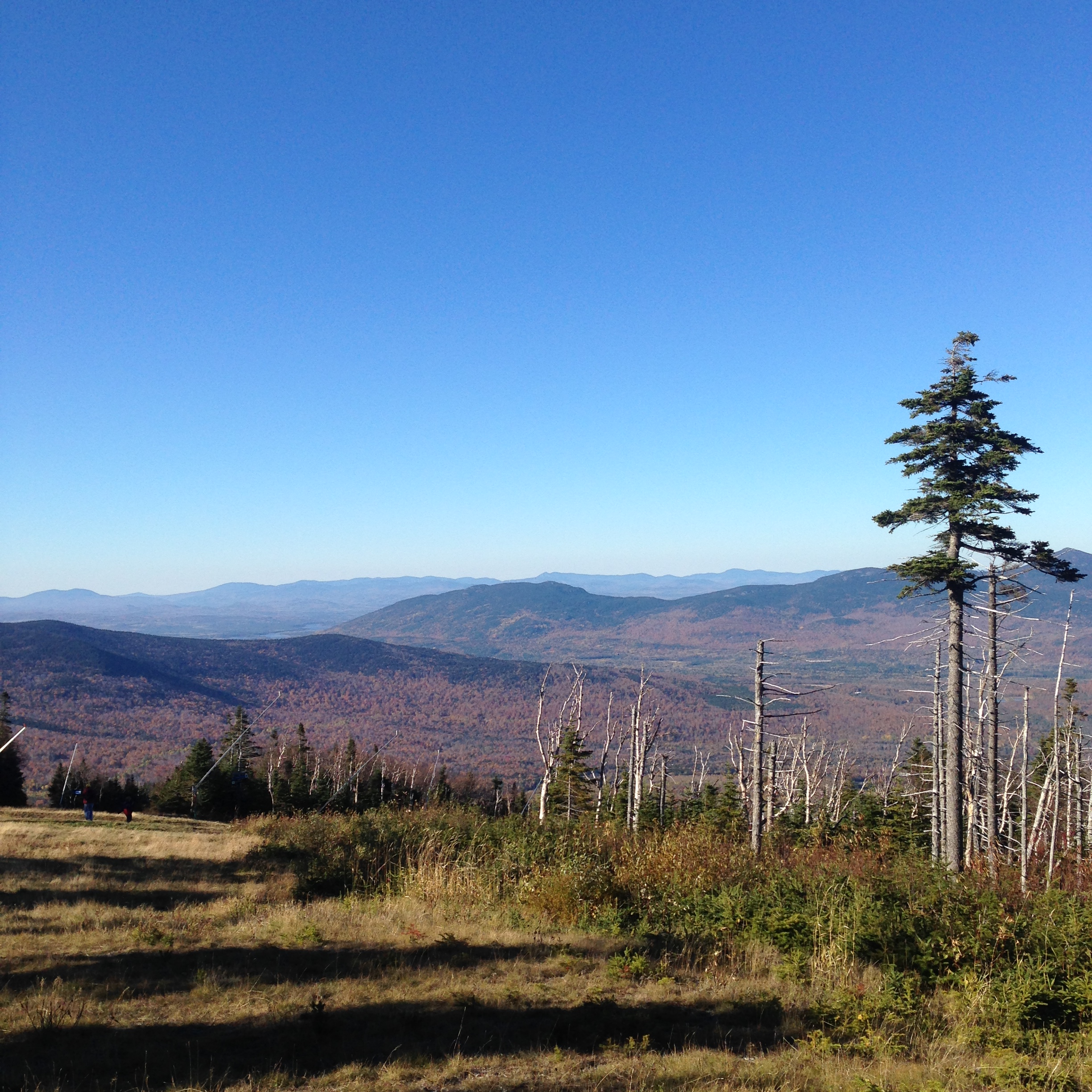
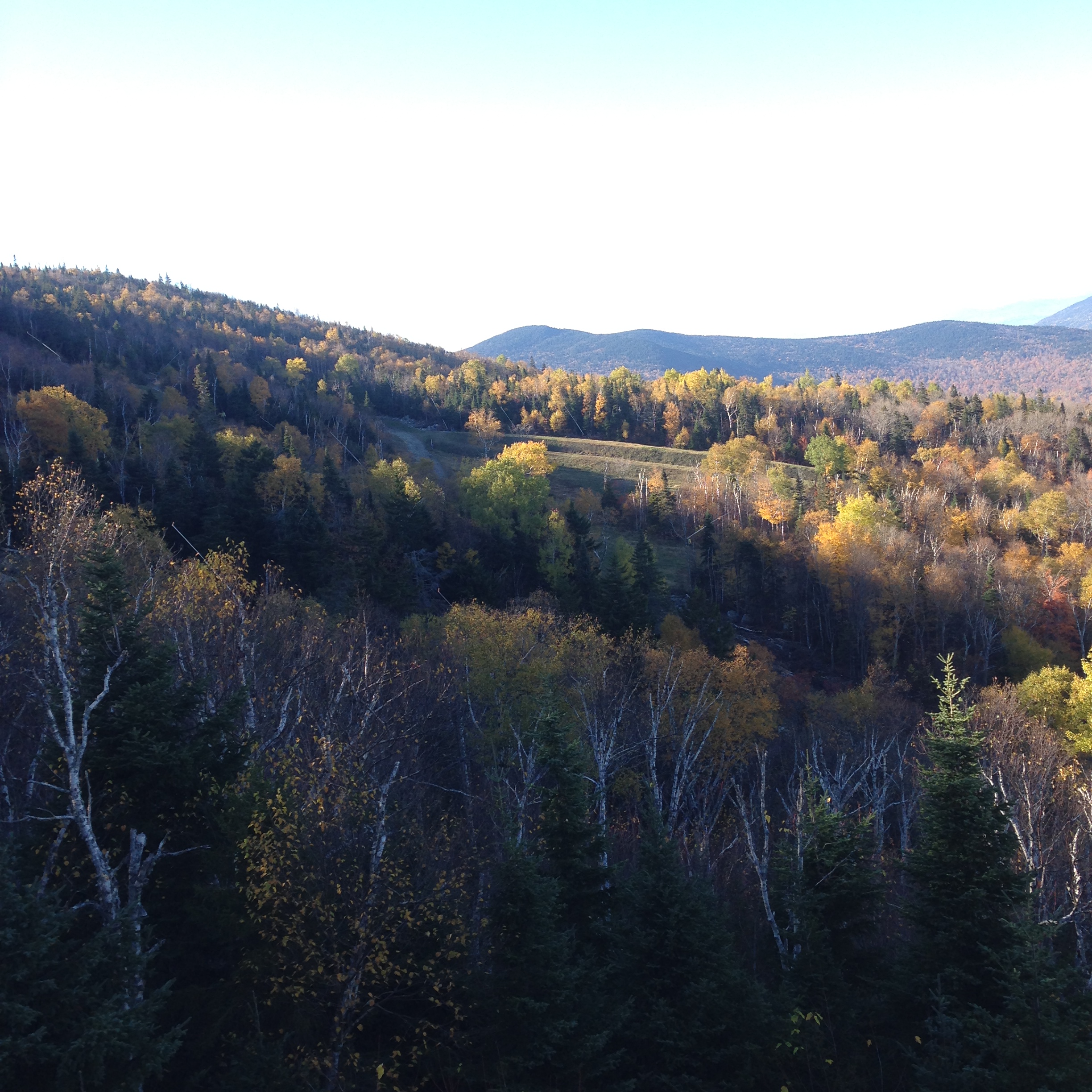
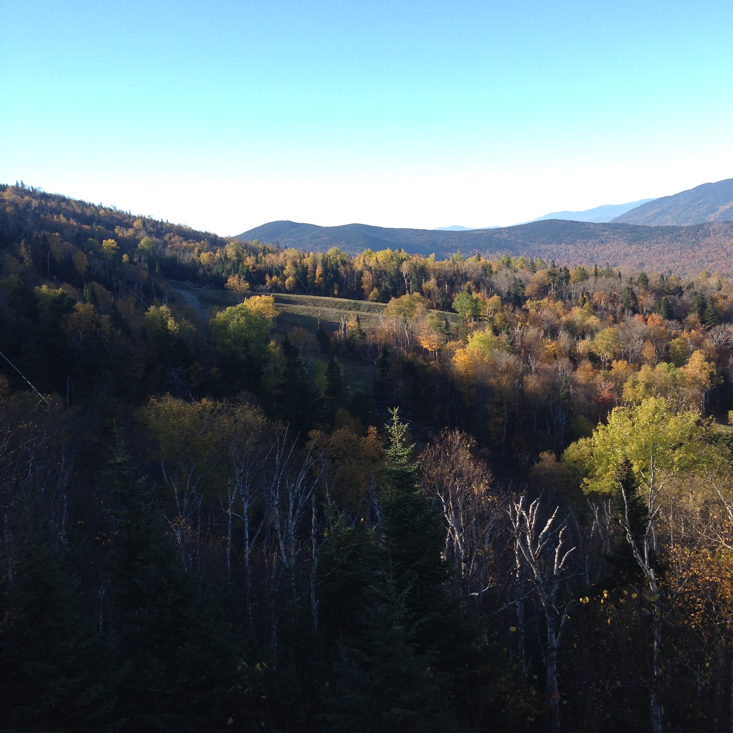
Today's view toward Burnt Mountain

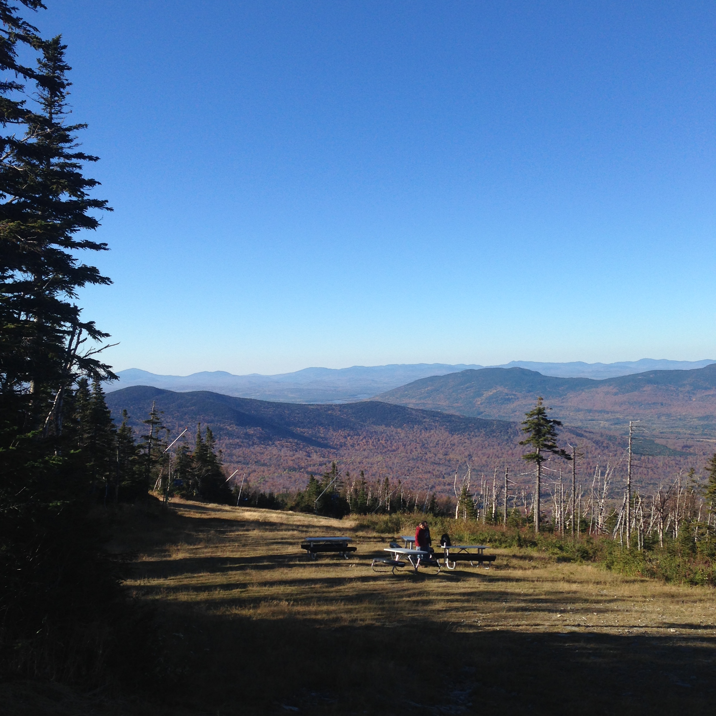
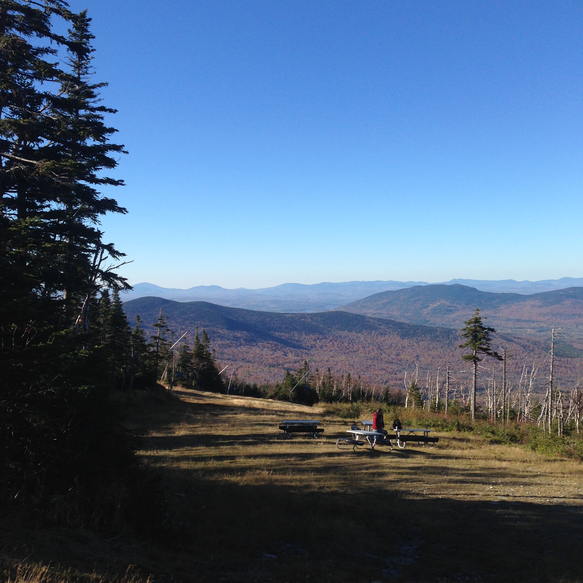
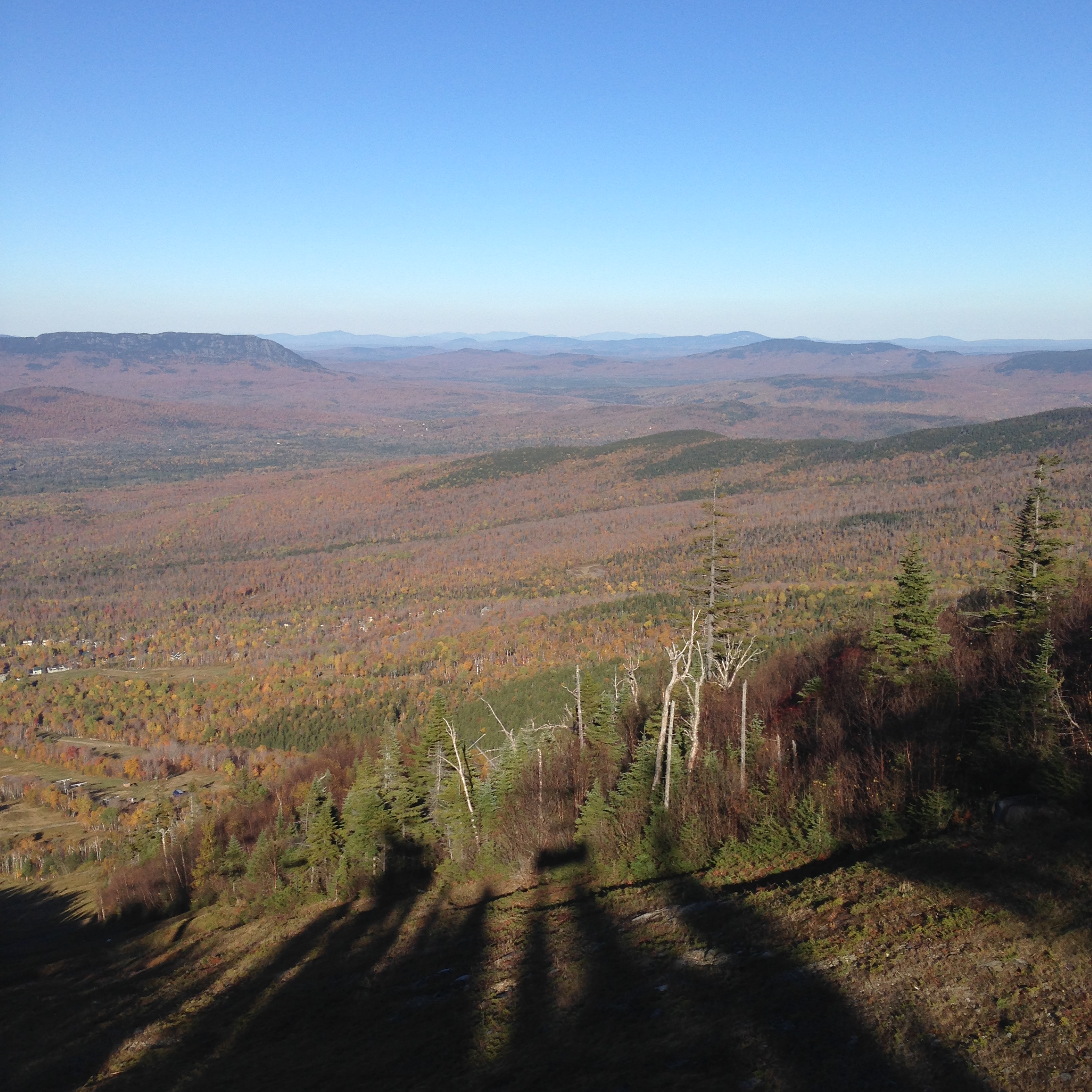
View from the Summit
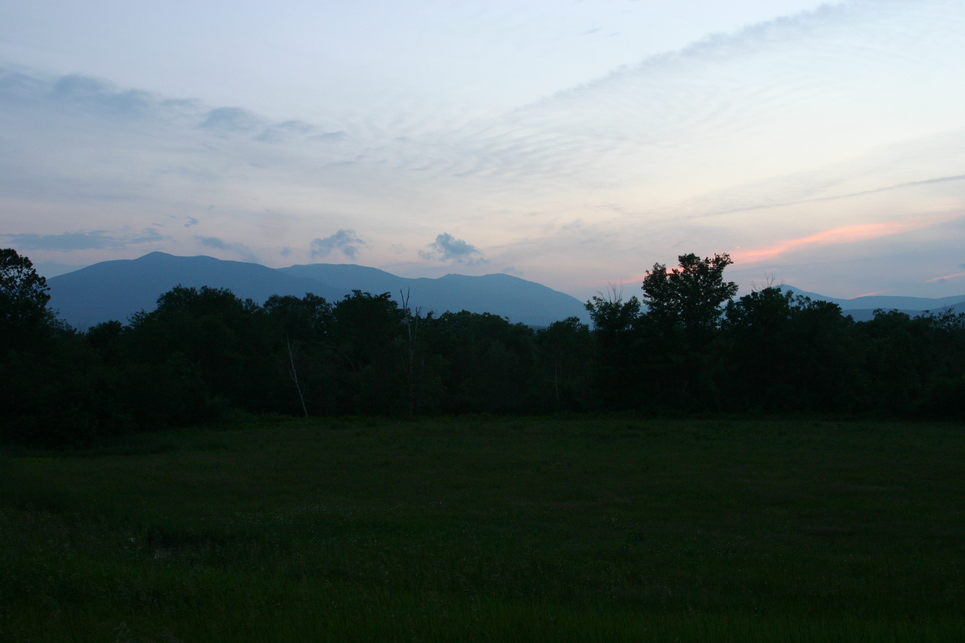
Saddleback Mtn. at sunset

Maine 2015

Maine 2015

Maine 2015
30/365 : Sugarloaf 2009
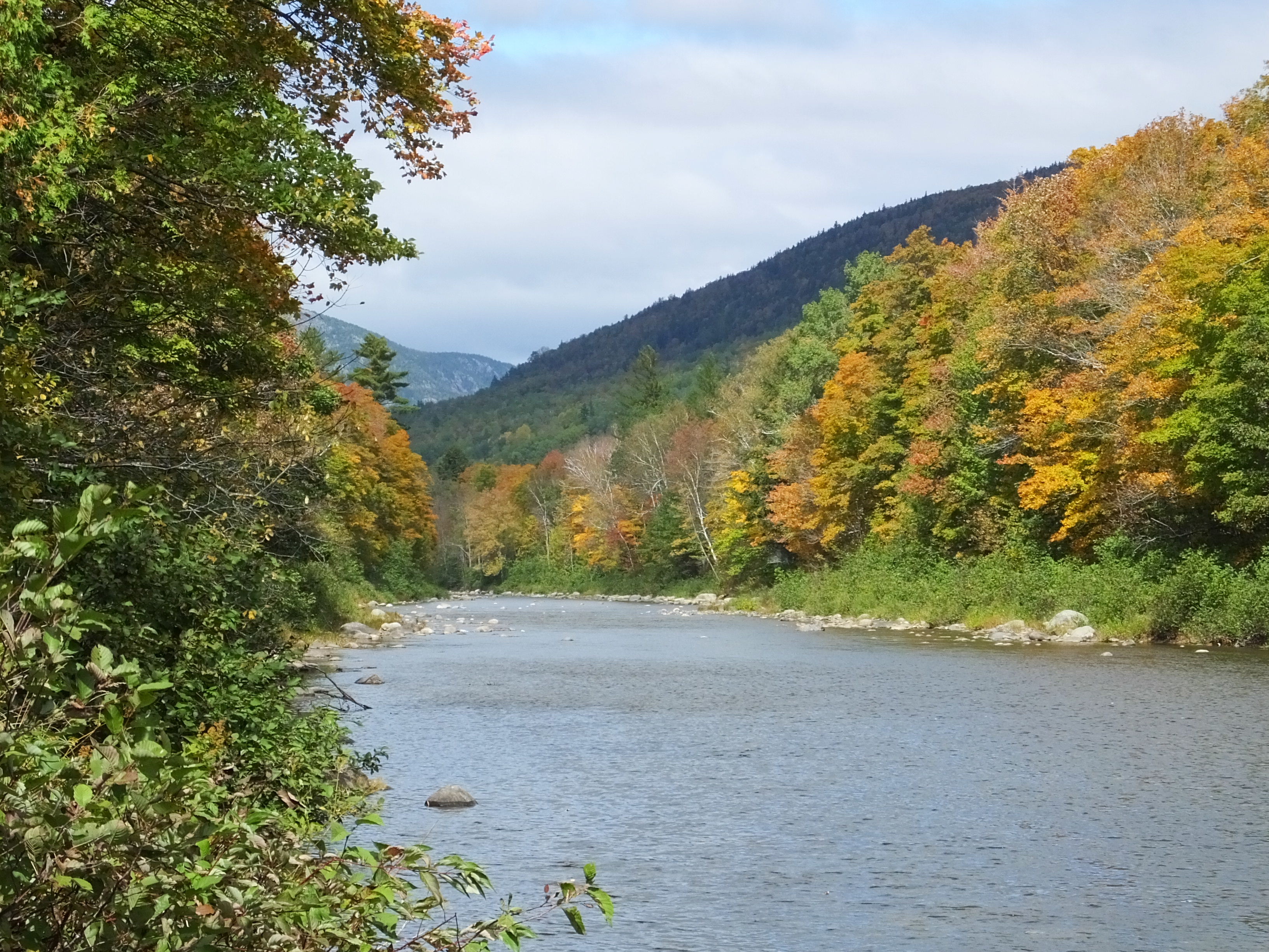
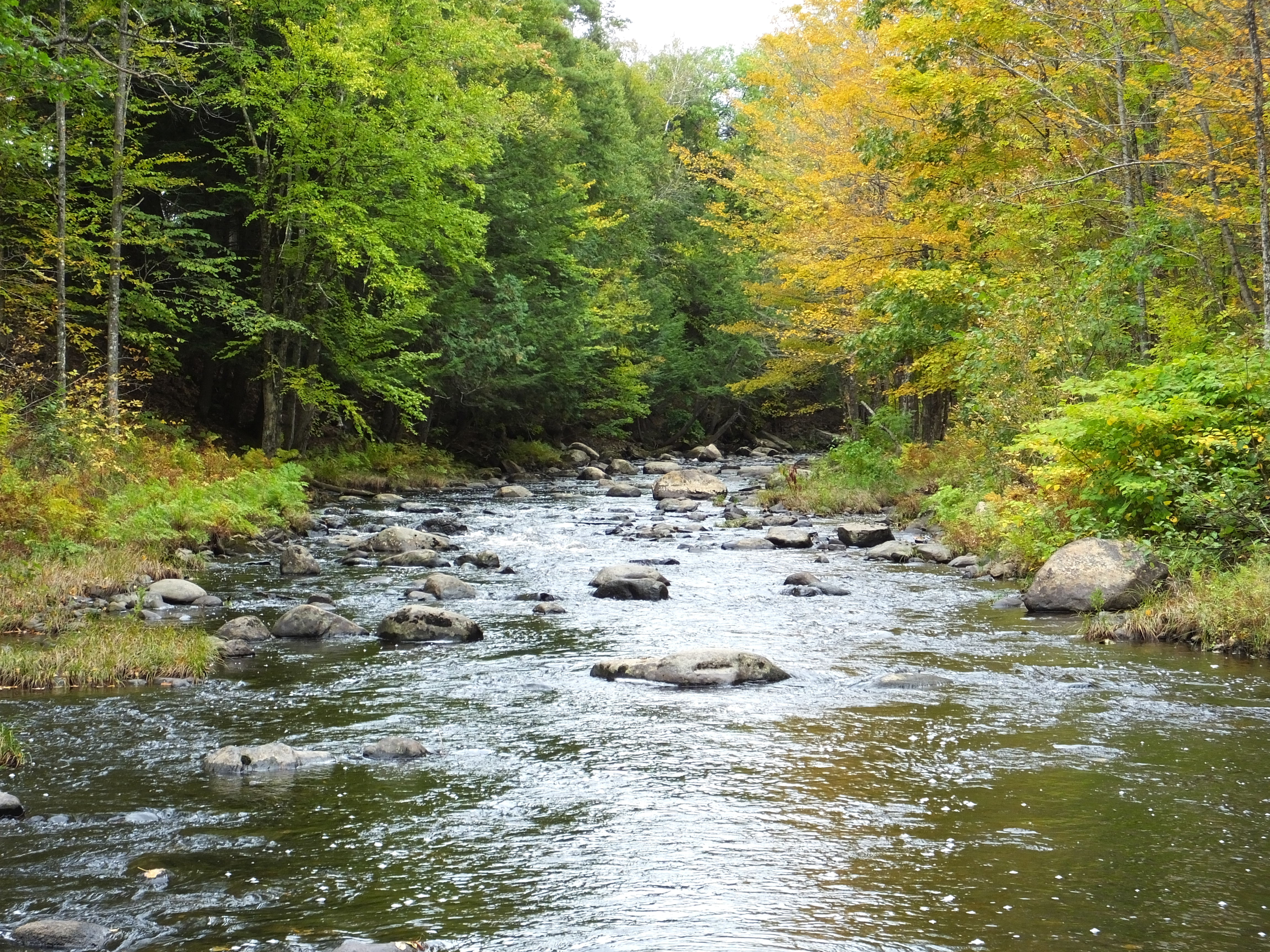
Carrabassett River, Kingfield 8

Carrabassett River
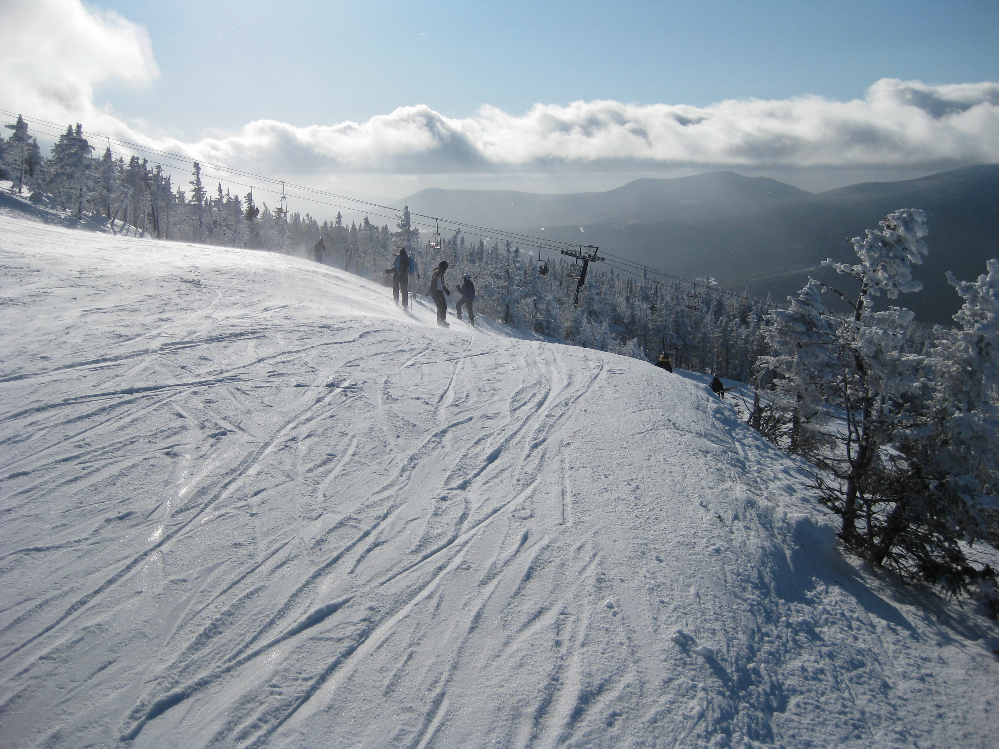
Sugarloaf summit
Sugarloaf Homecoming Weekend
Sugarloaf Homecoming Weekend

New Portland Wire Bridge
Sugarloaf Homecoming Weekend
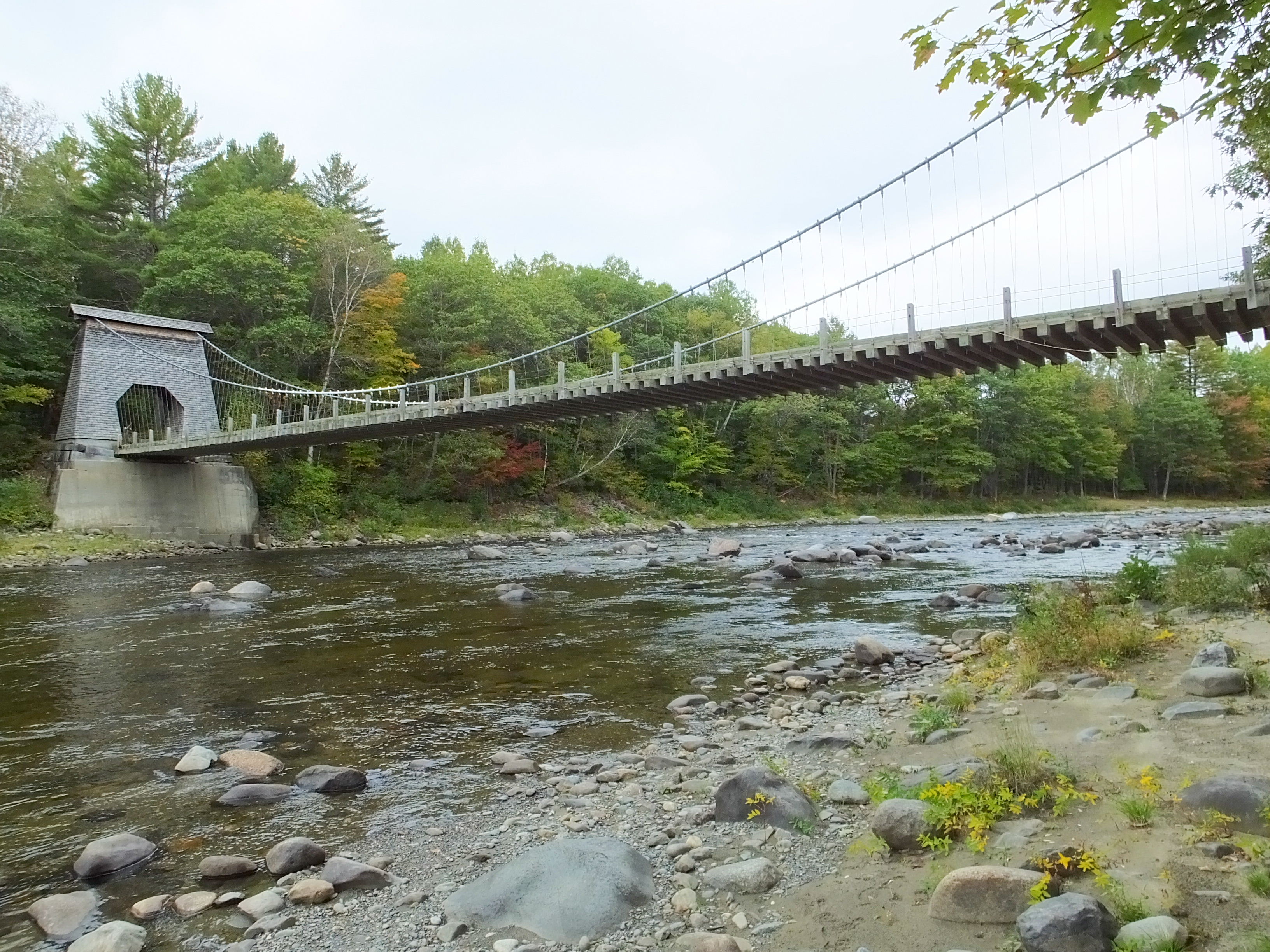
Wire Bridge
Sugarloaf Homecoming Weekend
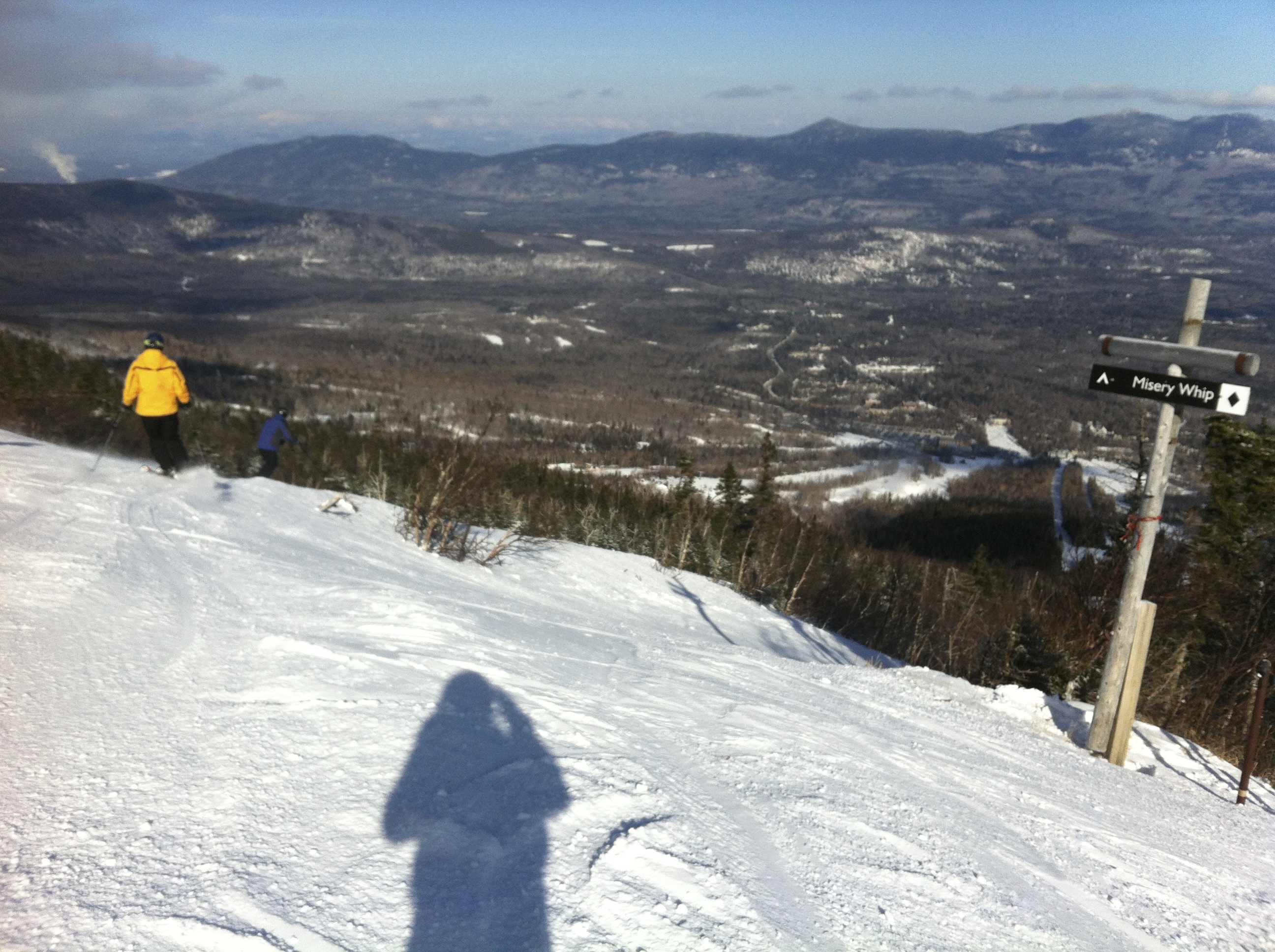
Sugarloaf, Feb 3, 2013
Sugarloaf Homecoming Weekend
Lemon Stream In New Portland

Sunset last ski run of 2013, from top of Sugarloaf

Evening on the Carrabassett River
Sugarloaf Homecoming Weekend

Sugarloaf, Maine - March 2008
Topographic Map of Salem Township, East Central Franklin, ME, USA
Find elevation by address:

Places near Salem Township, East Central Franklin, ME, USA:
Salem Road
Cushman School Road
ME-, Strong, ME, USA
110 Rapid Stream Rd
3 Blueberry Field Rd
19 Cross Rd, Avon, ME, USA
Avon
Strong Area Health Center
Strong
422 Tufts Pond Rd
Salem Road
Kingfield
531 Farmington Rd
531 Farmington Rd
531 Farmington Rd
531 Farmington Rd
531 Farmington Rd
531 Farmington Rd
531 Farmington Rd
Porter Lake
Recent Searches:
- Elevation of Corso Fratelli Cairoli, 35, Macerata MC, Italy
- Elevation of Tallevast Rd, Sarasota, FL, USA
- Elevation of 4th St E, Sonoma, CA, USA
- Elevation of Black Hollow Rd, Pennsdale, PA, USA
- Elevation of Oakland Ave, Williamsport, PA, USA
- Elevation of Pedrógão Grande, Portugal
- Elevation of Klee Dr, Martinsburg, WV, USA
- Elevation of Via Roma, Pieranica CR, Italy
- Elevation of Tavkvetili Mountain, Georgia
- Elevation of Hartfords Bluff Cir, Mt Pleasant, SC, USA