Elevation of Saint Georges, St Georges, French Guiana
Location: French Guiana > Arrondissement Of Cayenne > Saint-georges >
Longitude: -51.807382
Latitude: 3.8925718
Elevation: 7m / 23feet
Barometric Pressure: 101KPa
Elevation Map:
Satellite Map:
Related Photos:

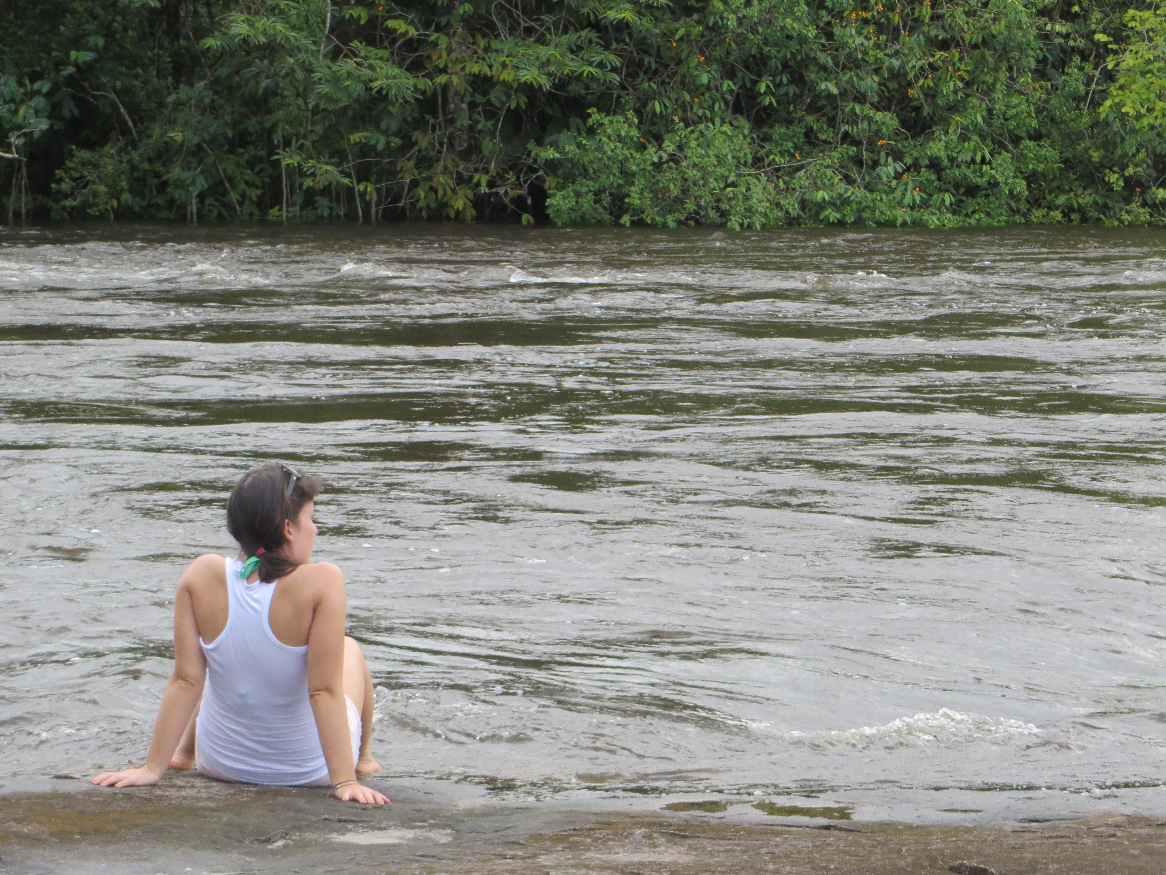
Oyapock river - French Guyana 2018

Saut Maripa
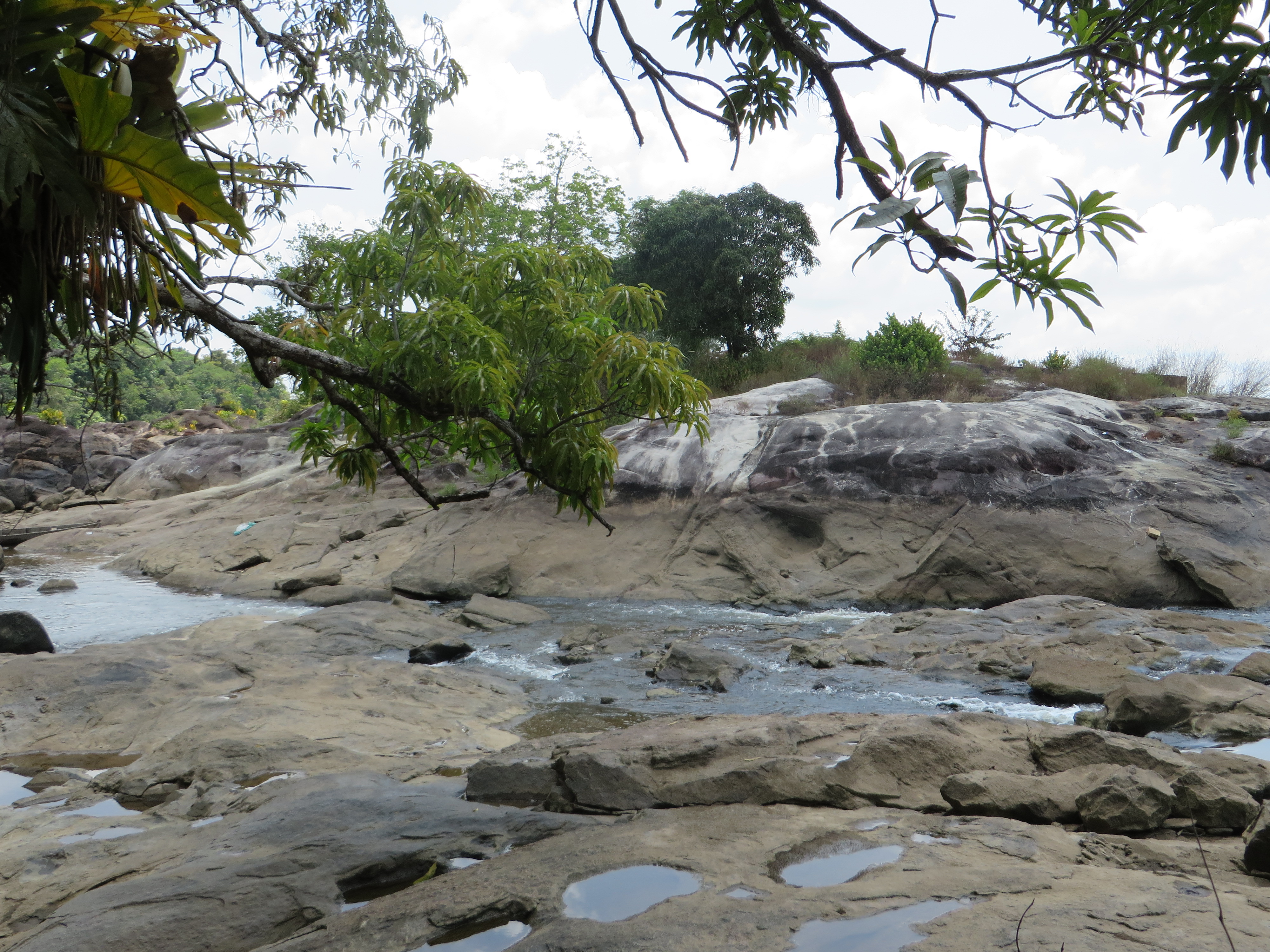
Saut Maripa

Saut Maripa

Saut Maripa

Saut Maripa
Into the water

The bridge connecting the EU with Brazil
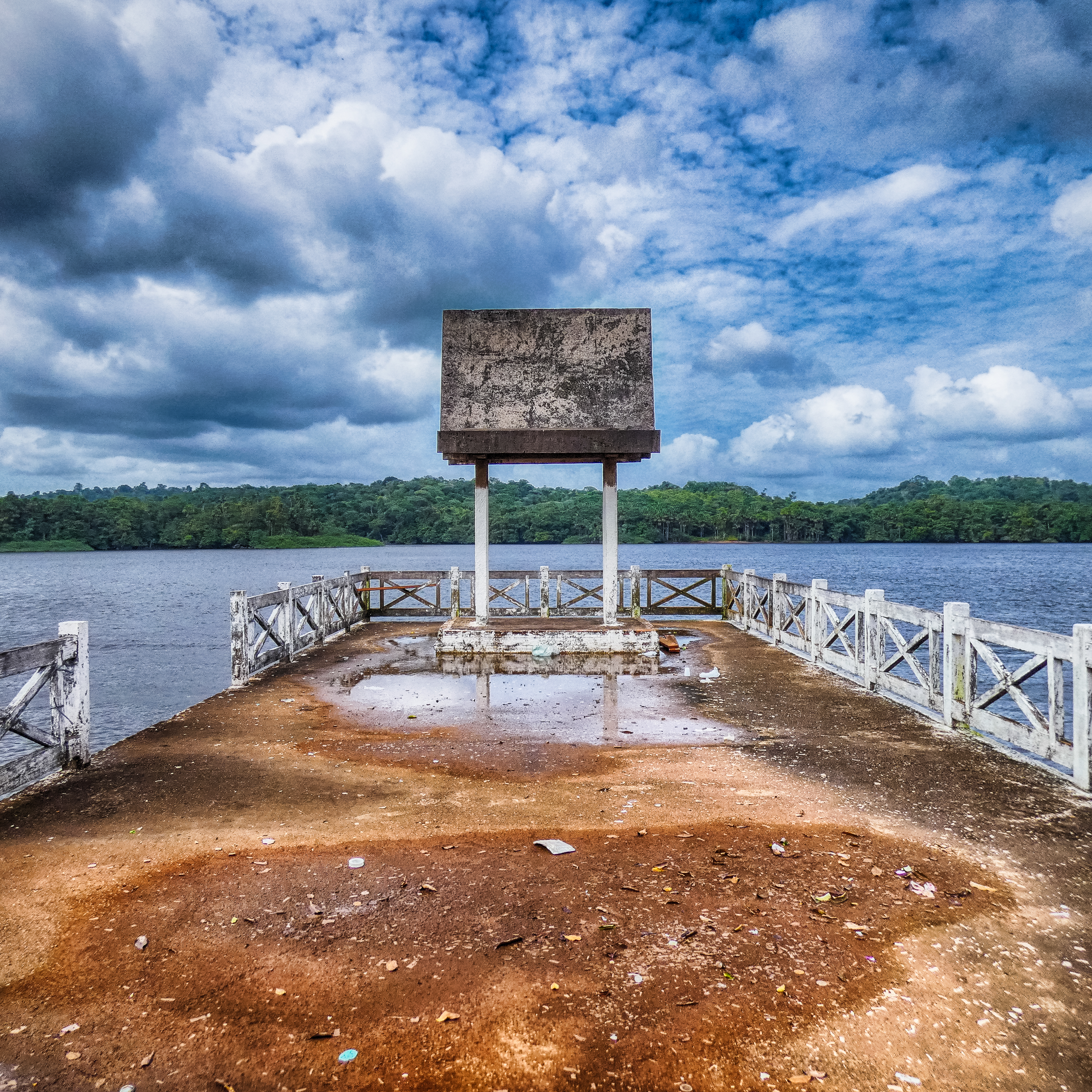
The end of the road

Pas de Géant

Saut Maripa

Poétique
Rêveuse

Les copines

Rancho PK9

Crashing some party. Oiapoque, Brazil أويابوكي، البرازيل

Saint George de L'Oyapoc 2013

Oiapoque - #olhar

kuahi-capa album

20130722-DSC_0212

tyranus albogularis

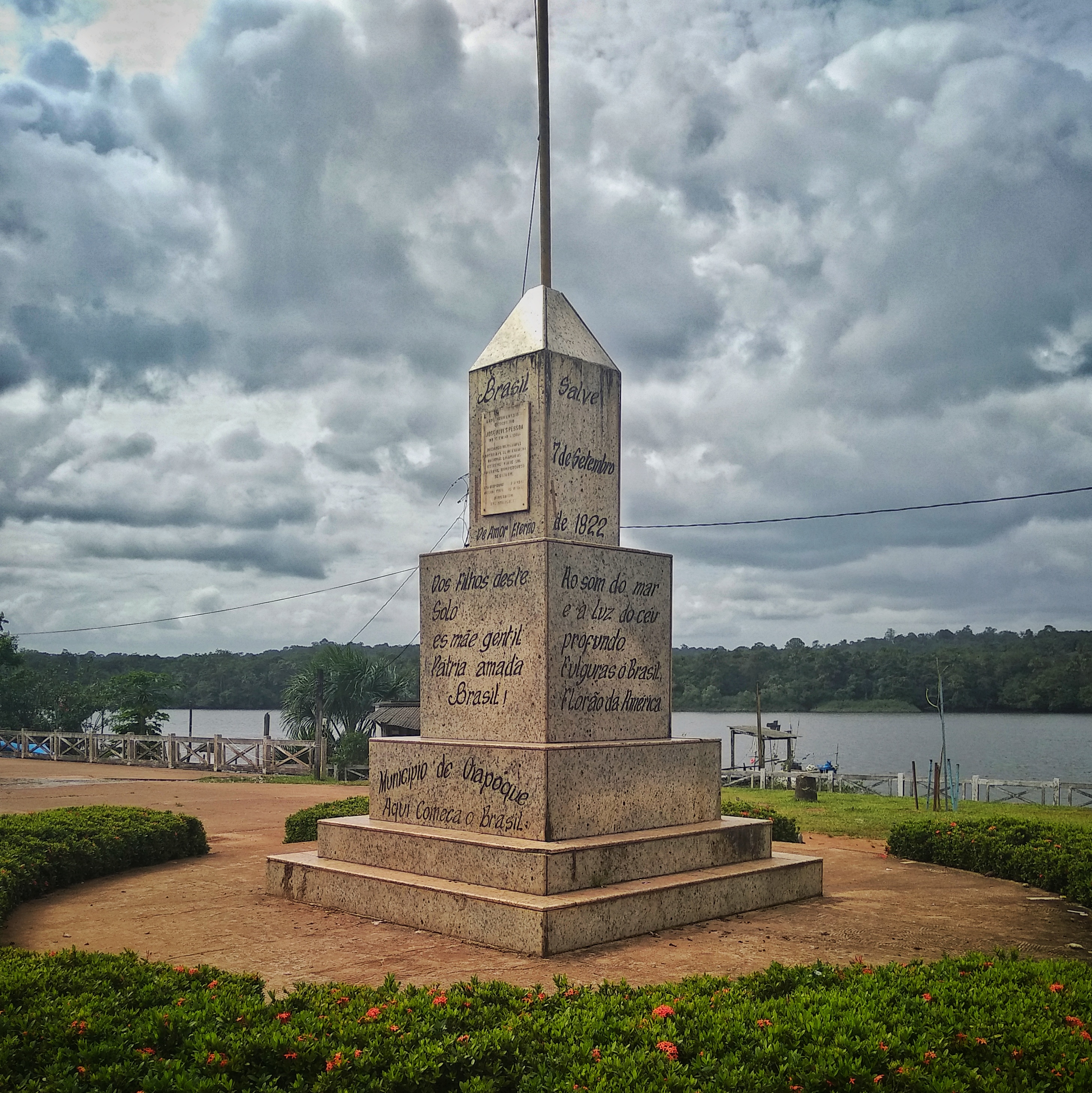
Município de Oiapoque
Topographic Map of Saint Georges, St Georges, French Guiana
Find elevation by address:

Recent Searches:
- Elevation of Corso Fratelli Cairoli, 35, Macerata MC, Italy
- Elevation of Tallevast Rd, Sarasota, FL, USA
- Elevation of 4th St E, Sonoma, CA, USA
- Elevation of Black Hollow Rd, Pennsdale, PA, USA
- Elevation of Oakland Ave, Williamsport, PA, USA
- Elevation of Pedrógão Grande, Portugal
- Elevation of Klee Dr, Martinsburg, WV, USA
- Elevation of Via Roma, Pieranica CR, Italy
- Elevation of Tavkvetili Mountain, Georgia
- Elevation of Hartfords Bluff Cir, Mt Pleasant, SC, USA