Elevation of Saddington, Leicester LE8, UK
Location: United Kingdom > Leicestershire >
Longitude: -1.030431
Latitude: 52.521643
Elevation: 142m / 466feet
Barometric Pressure: 0KPa
Related Photos:
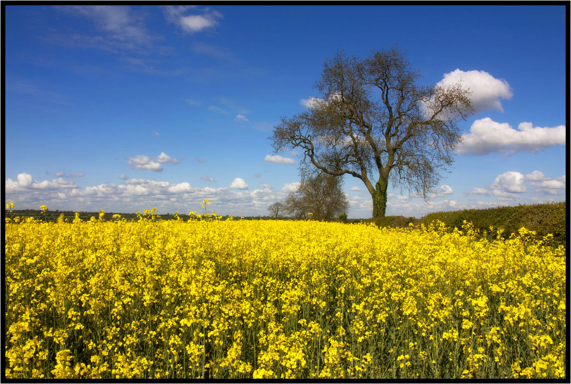
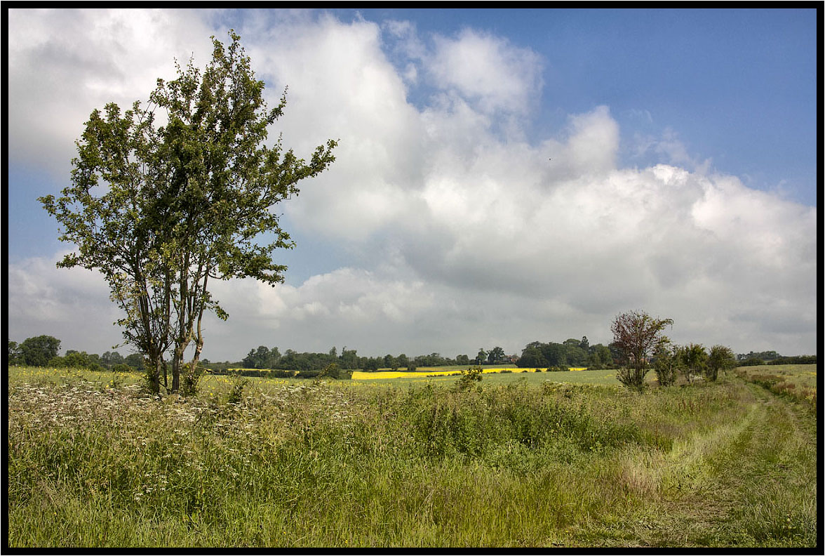
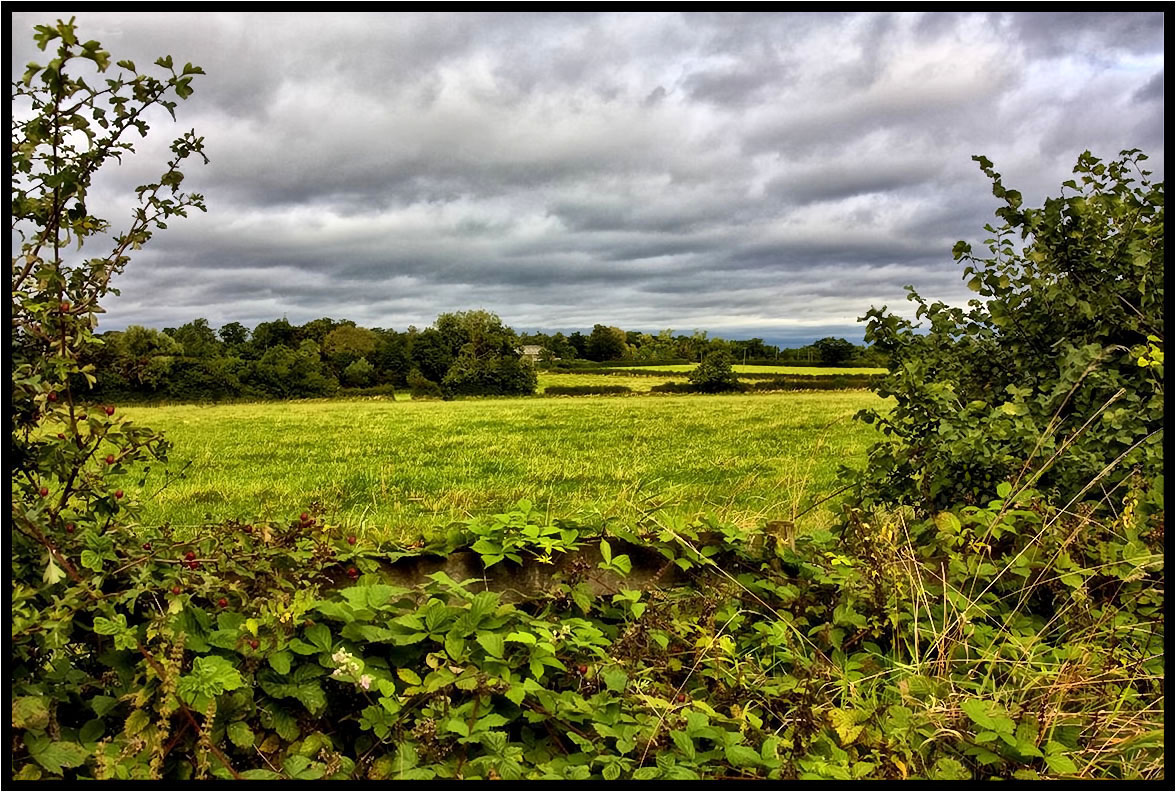
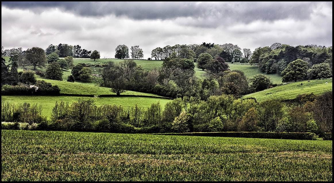
That field again.

Winter Mist - In full colour!
15 - 46.
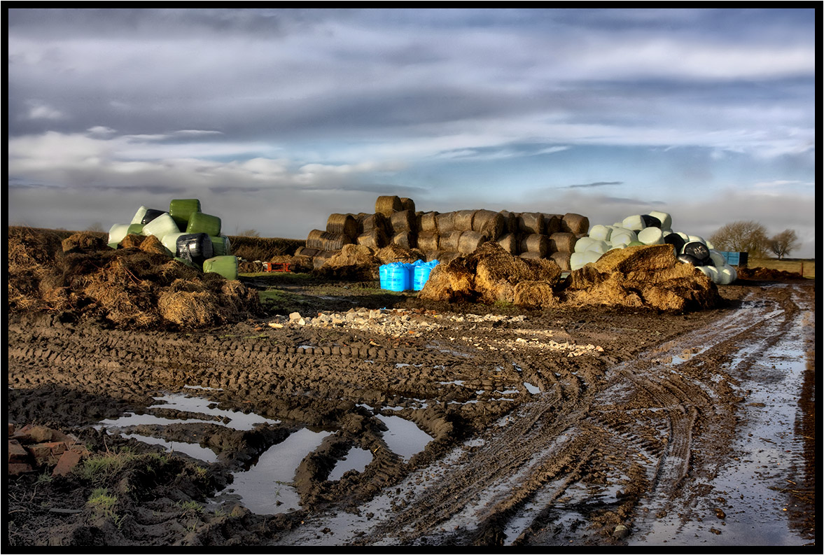
Winter farm yard.
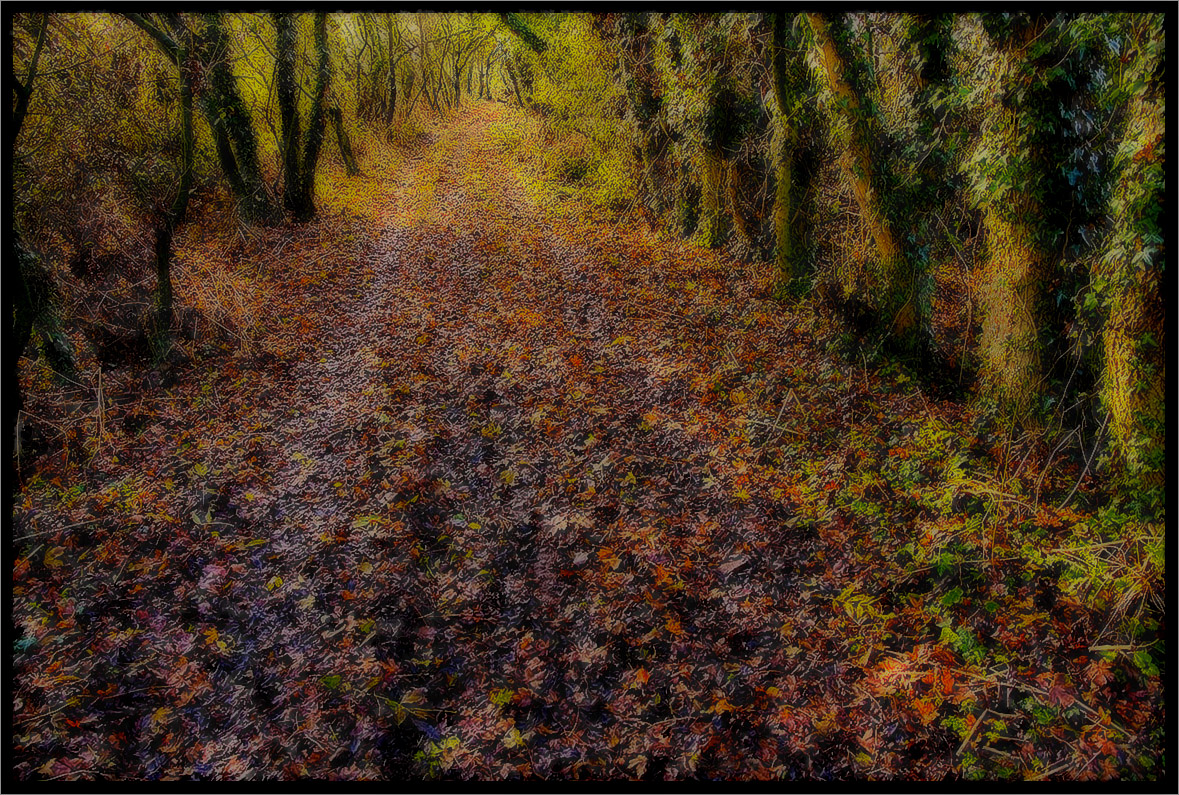
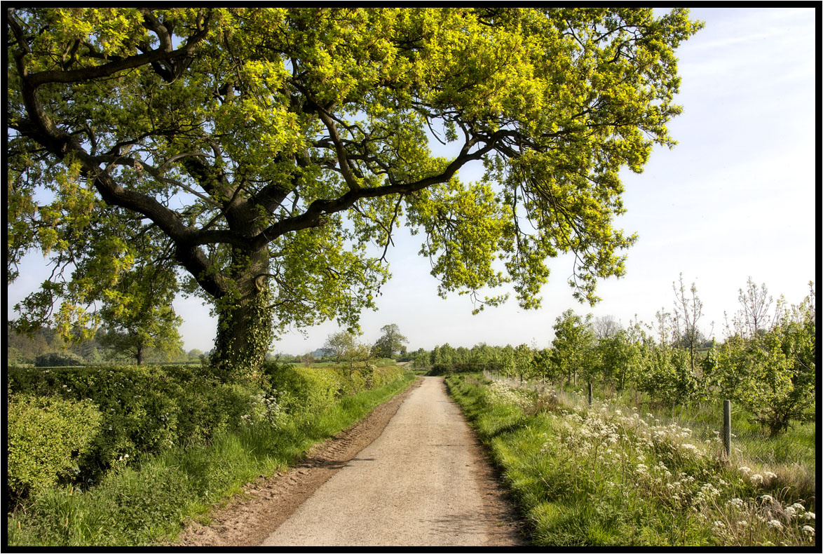
The Path.
A Footpath.
Under The Clouds.
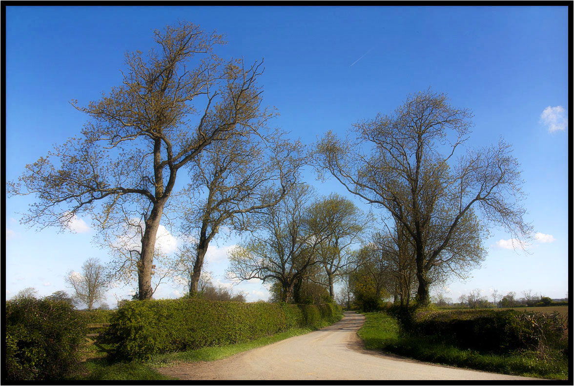
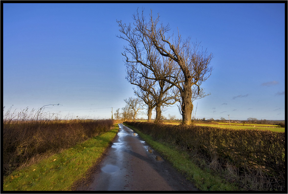
Country Lane.
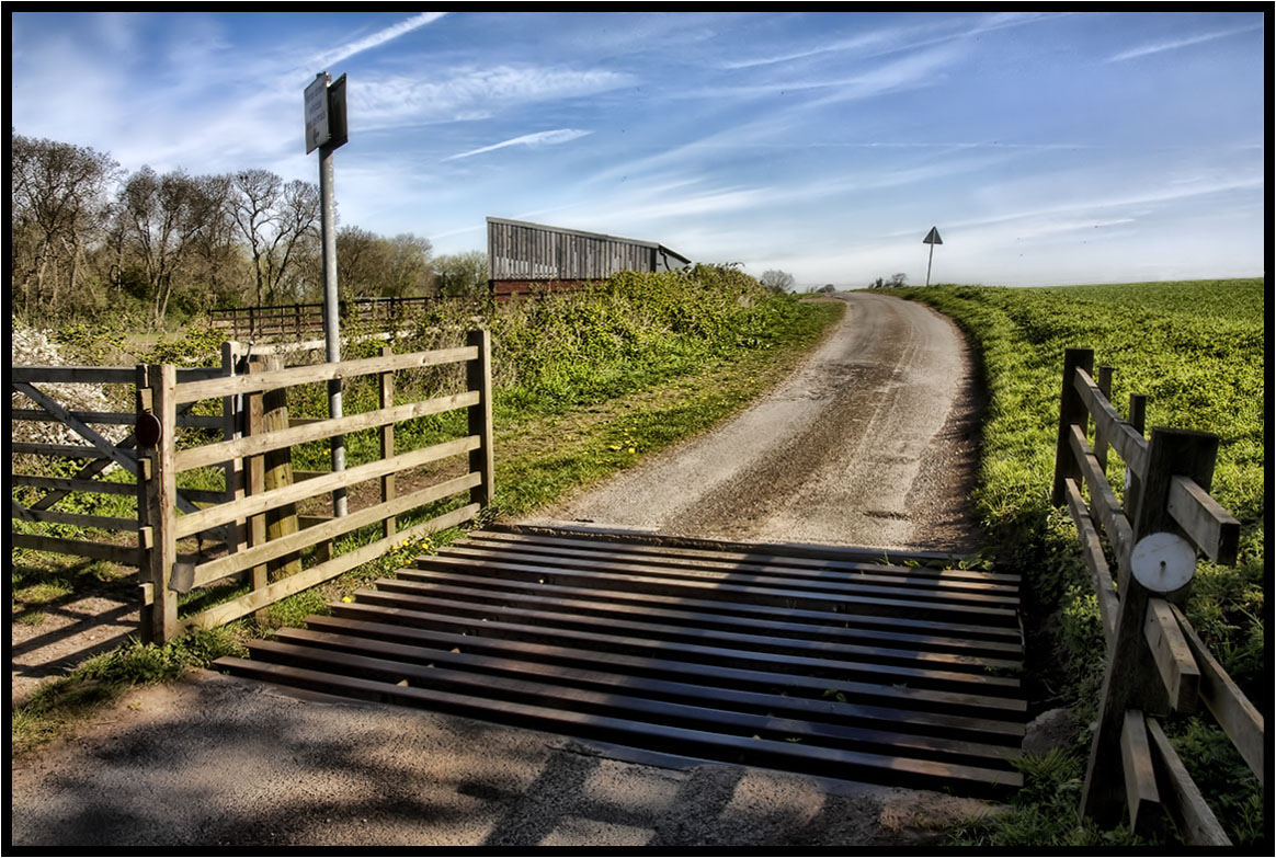
The Cattle Grid.
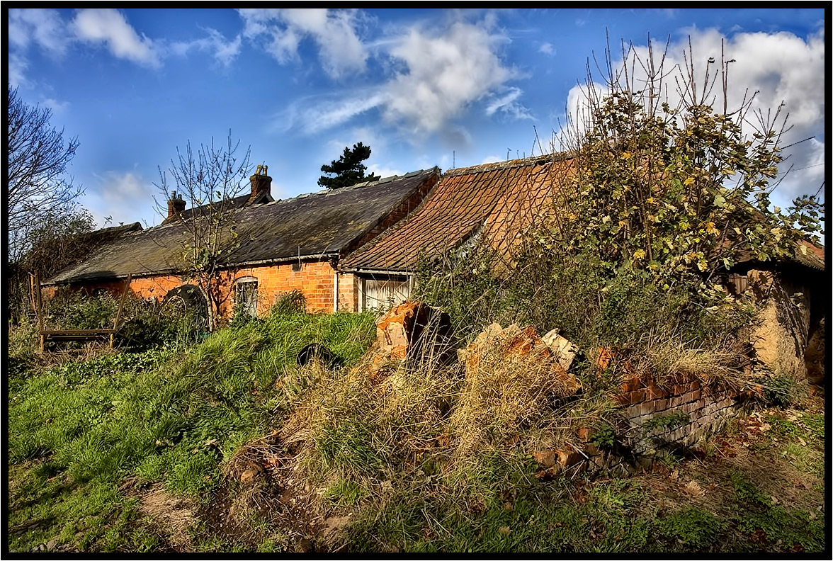
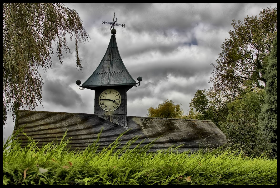
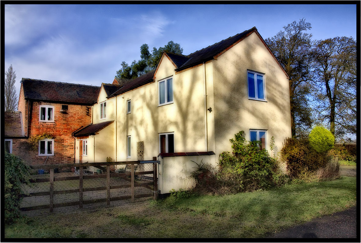
The Old Farm.
My Morning Walk.
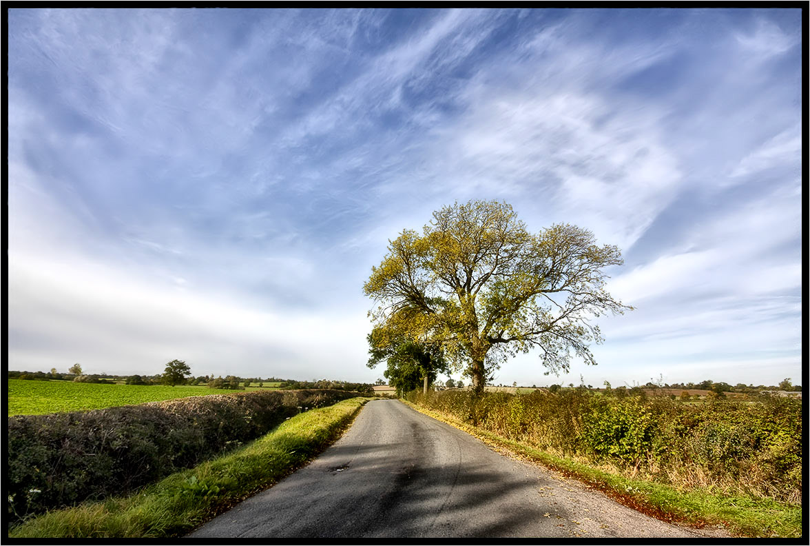
Country Lane
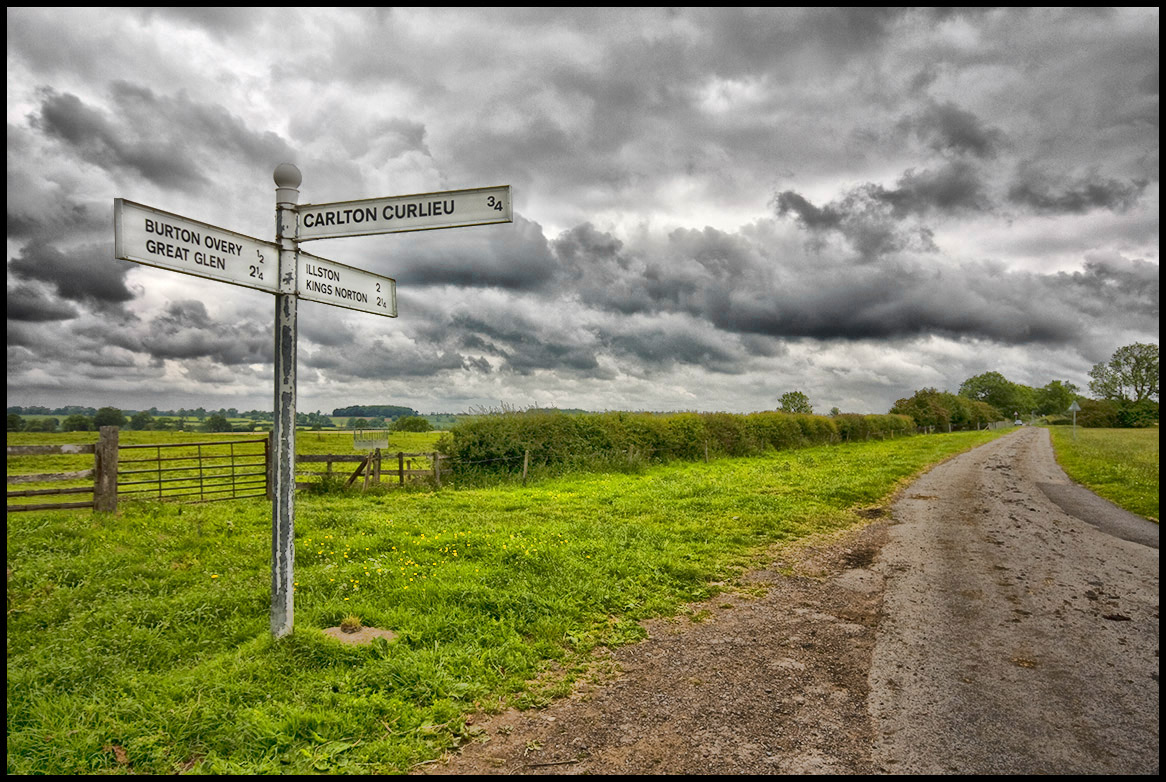
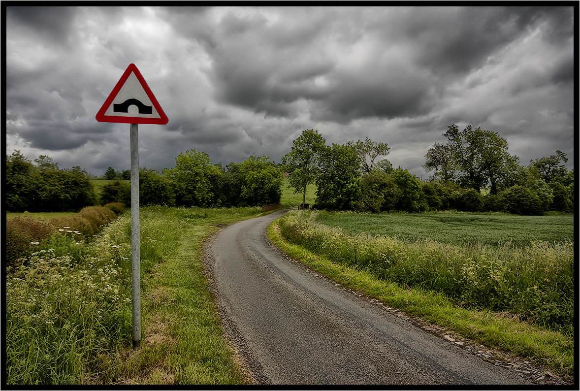
The Road Sign.
Across the fields.
The Prevailing Wind.
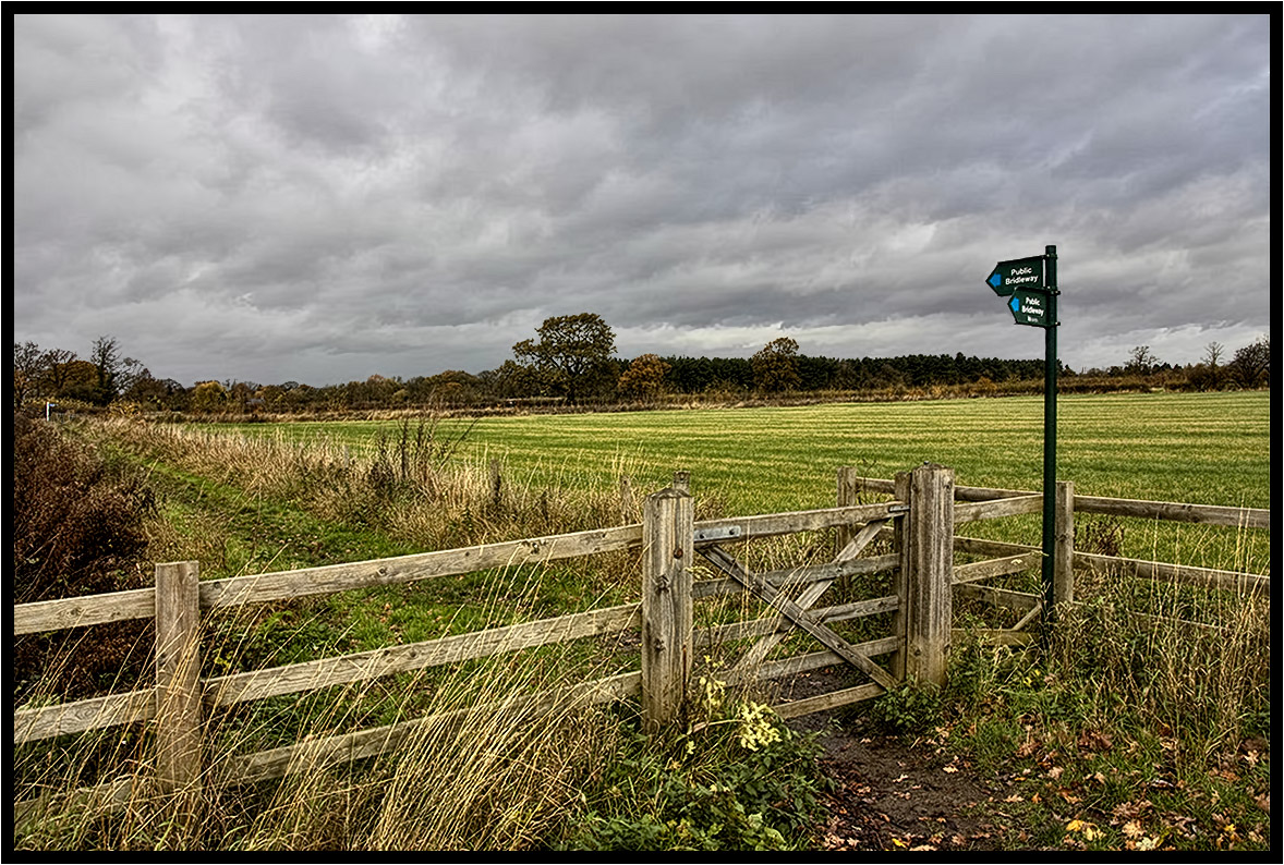
The Bridleway.
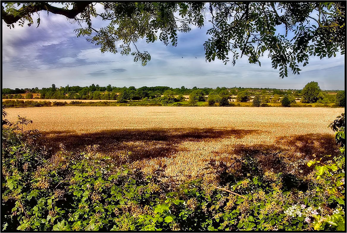
Tree Shadows.
The Hump................

The runner.
A Light Breeze.
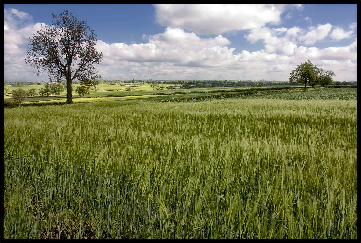
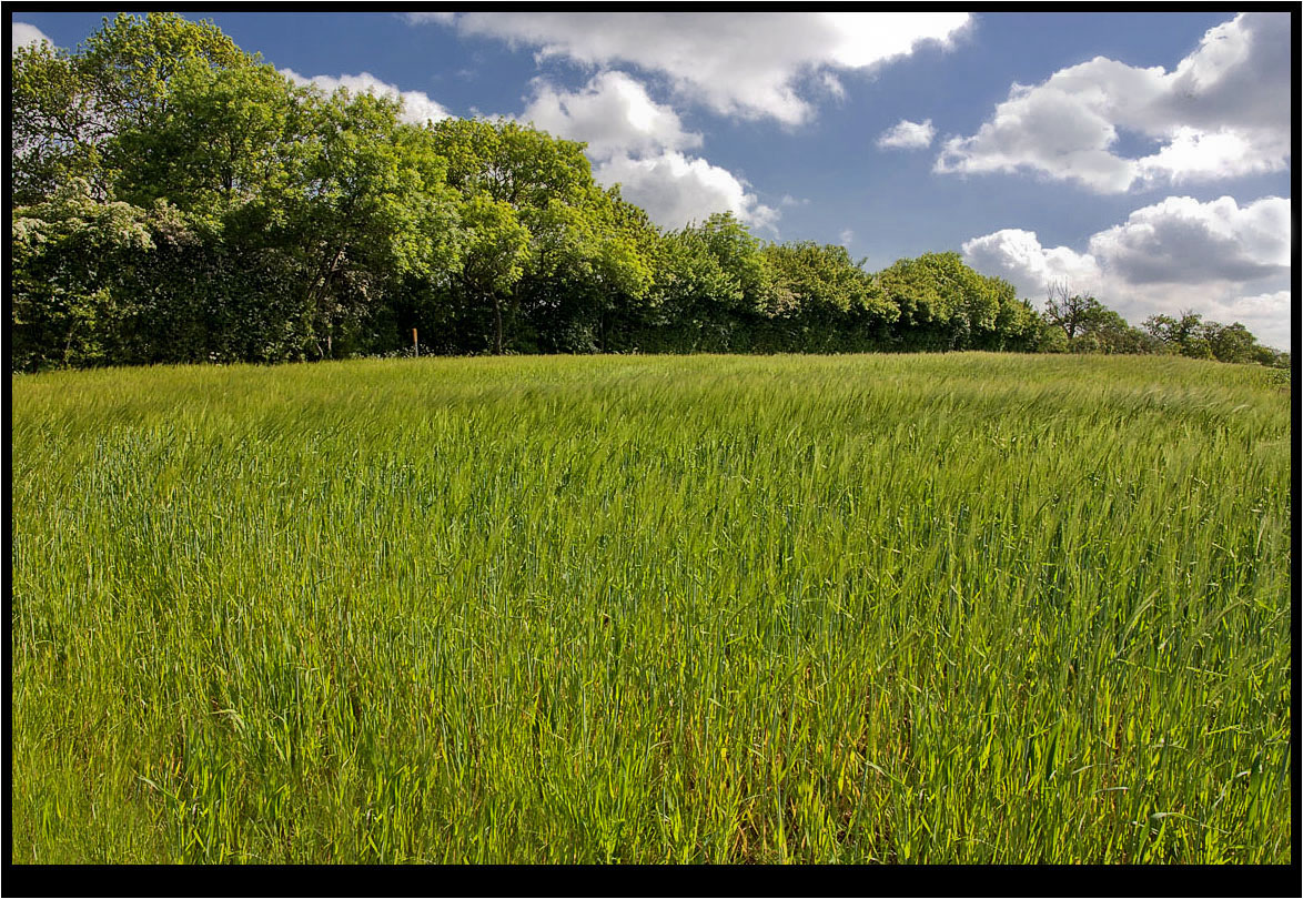
The Young Crop.

Autumnal 10
Two Crows.
The Trees.
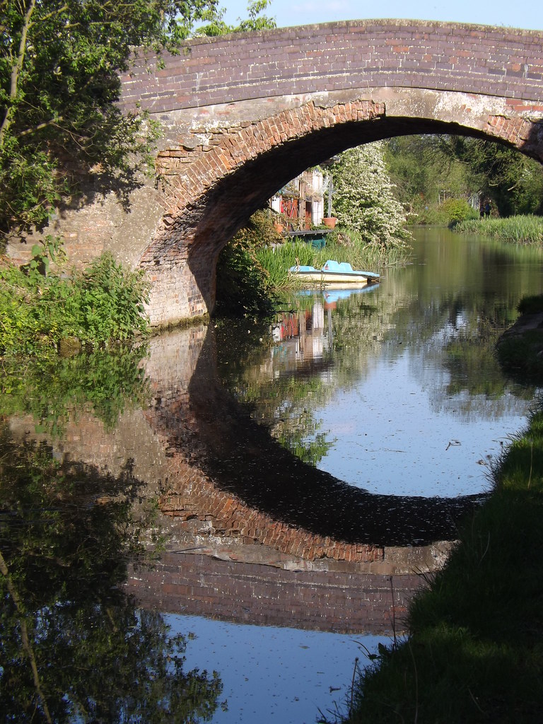
Canal Bridge reflection
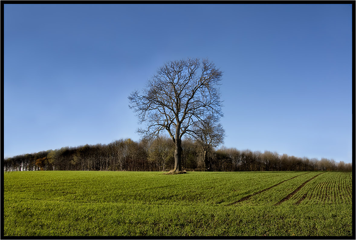
The Lonely One.
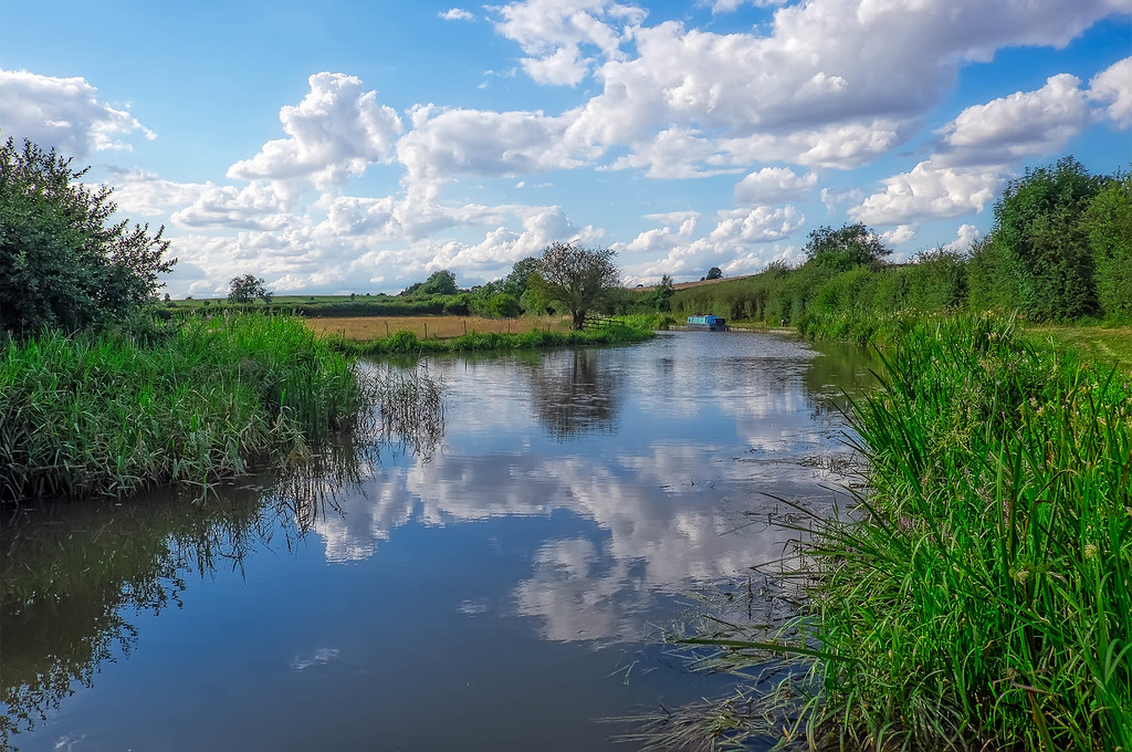
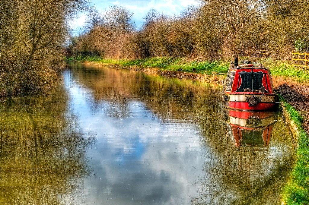
Grand Union Canal, Saddington, Leicestershire

Country Lane.
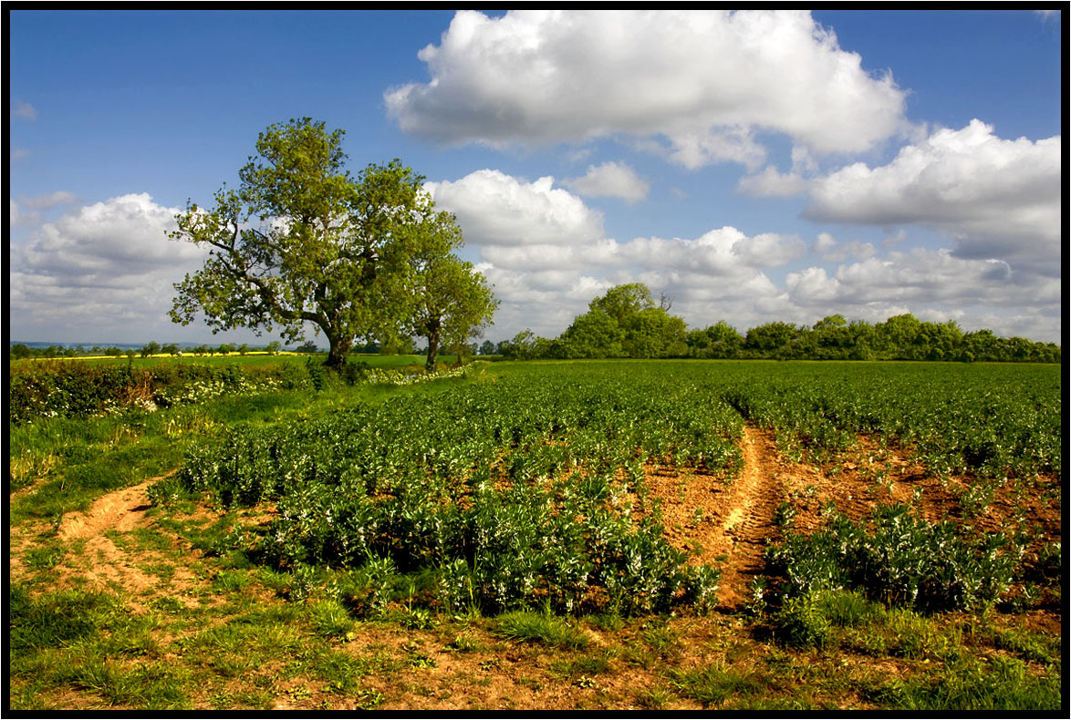
Across The Fields 2.
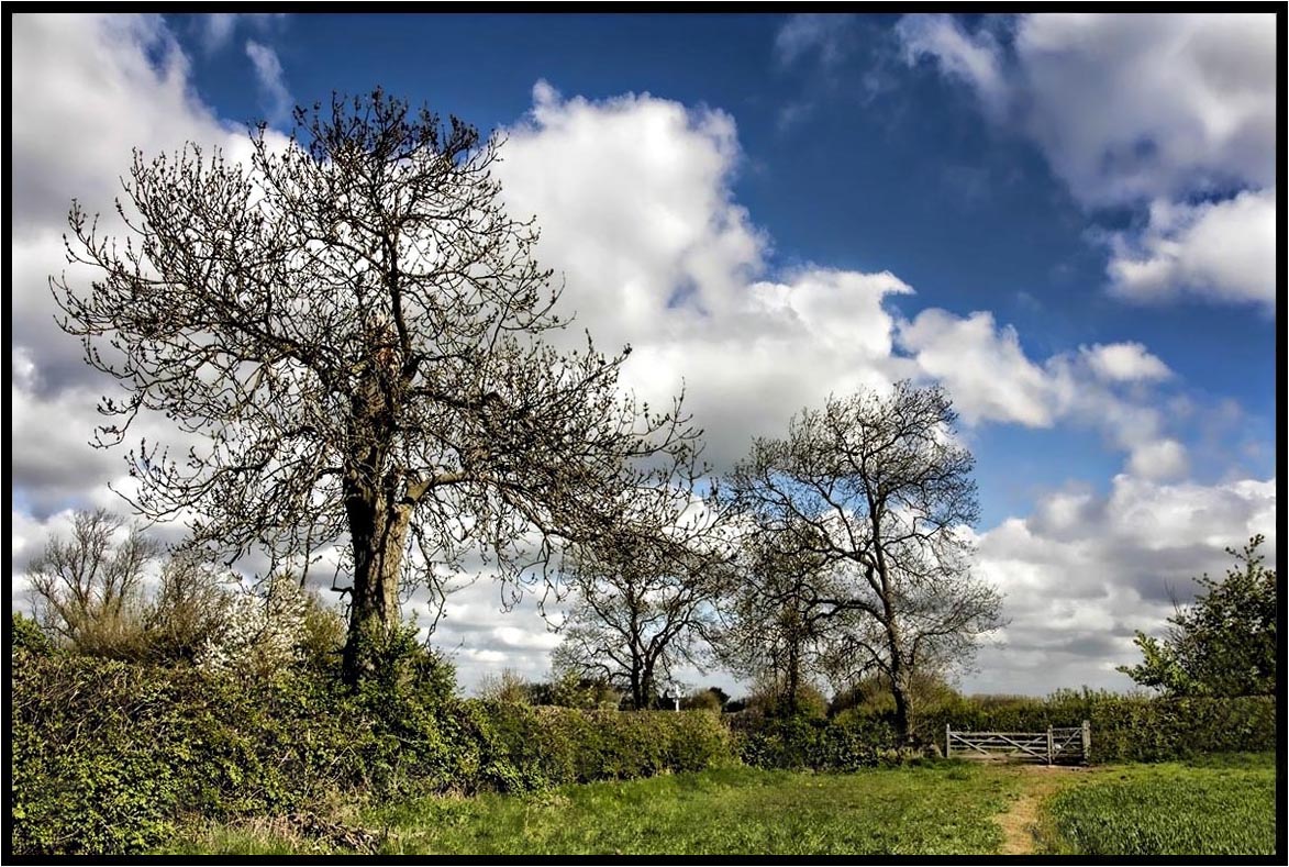
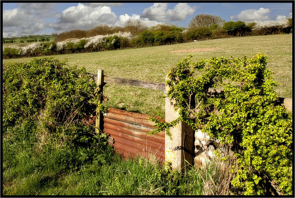
The Footpath Gate.
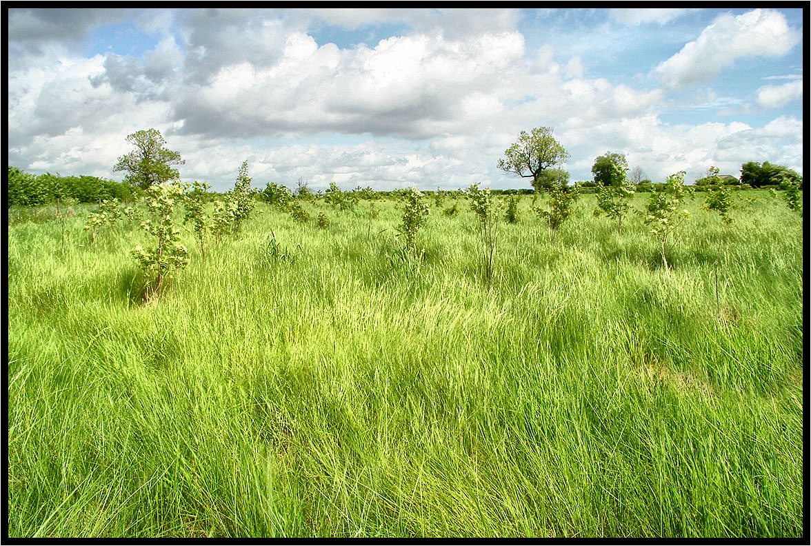
New woodland.
Wistow, Leicestershire
South Leicester-shire.
Topographic Map of Saddington, Leicester LE8, UK
Find elevation by address:

Places in Saddington, Leicester LE8, UK:
Places near Saddington, Leicester LE8, UK:
The Cottage
Greenfields
Le16 9sl
Charley Close
East Farndon
45 Kingston Way, Market Harborough LE16 7XB, UK
Market Harborough
100 Bath St
Market Harborough
43 Kettering Rd
8 Rolleston Cl
1 Sutton Rd, Great Bowden, Market Harborough LE16 7HW, UK
Great Bowden
Naseby
1 Hallaton Rd, Medbourne, Market Harborough LE16 8DR, UK
Spring Bank
Medbourne
Rothwell
5 New St, Rothwell, Kettering NN14 6EU, UK
Nn14 6gw
Recent Searches:
- Elevation of 10370, West 107th Circle, Westminster, Jefferson County, Colorado, 80021, USA
- Elevation of 611, Roman Road, Old Ford, Bow, London, England, E3 2RW, United Kingdom
- Elevation of 116, Beartown Road, Underhill, Chittenden County, Vermont, 05489, USA
- Elevation of Window Rock, Colfax County, New Mexico, 87714, USA
- Elevation of 4807, Rosecroft Street, Kempsville Gardens, Virginia Beach, Virginia, 23464, USA
- Elevation map of Matawinie, Quebec, Canada
- Elevation of Sainte-Émélie-de-l'Énergie, Matawinie, Quebec, Canada
- Elevation of Rue du Pont, Sainte-Émélie-de-l'Énergie, Matawinie, Quebec, J0K2K0, Canada
- Elevation of 8, Rue de Bécancour, Blainville, Thérèse-De Blainville, Quebec, J7B1N2, Canada
- Elevation of Wilmot Court North, 163, University Avenue West, Northdale, Waterloo, Region of Waterloo, Ontario, N2L6B6, Canada
- Elevation map of Panamá Province, Panama
- Elevation of Balboa, Panamá Province, Panama
- Elevation of San Miguel, Balboa, Panamá Province, Panama
- Elevation of Isla Gibraleón, San Miguel, Balboa, Panamá Province, Panama
- Elevation of 4655, Krischke Road, Schulenburg, Fayette County, Texas, 78956, USA
- Elevation of Carnegie Avenue, Downtown Cleveland, Cleveland, Cuyahoga County, Ohio, 44115, USA
- Elevation of Walhonding, Coshocton County, Ohio, USA
- Elevation of Clifton Down, Clifton, Bristol, City of Bristol, England, BS8 3HU, United Kingdom
- Elevation map of Auvergne-Rhône-Alpes, France
- Elevation map of Upper Savoy, Auvergne-Rhône-Alpes, France