Elevation of Sacramento McClellan Airport, Peacekeeper Way, McClellan Park, CA, USA

Location: United States > California > Sacramento County > Mcclellan Park >

Longitude: -121.39554

Latitude: 38.6594179

Elevation: 25m / 82feet

Barometric Pressure: 101KPa

Elevation Map:

elevation map of Sacramento McClellan Airport, Peacekeeper Way, McClellan Park, CA, USA

Satellite Map:

Satellite map of Sacramento McClellan Airport, Peacekeeper Way, McClellan Park, CA, USA

Related Photos:

dji phantom4pro aeirialview dreyerpicturescom drone sacramento california unitedstatesofamerica us
Sacramento at Night
dji phantom4pro airialview dreyerpicturescom drone westsacramento california unitedstatesofamerica
New Year 2020 - Sacramento, CA
dji phantom4pro airialview dreyerpicturescom drone westsacramento california unitedstatesofamerica
New Year 2020 - Sacramento, CA
rain calmbeforethestorm yikes americanriver hunkerdown elniño sandbars photomatix crazyaboutnature powerfulstorm 9682742 winksplace singleimageprocess floodingstatewidecalifornia loomingstorm‘likelytobememorable’ loomingweather
Calm Before the Storm
dji phantom4pro airialview dreyerpicturescom drone westsacramento california unitedstatesofamerica
New Year 2020 - Sacramento, CA
fall sacramentoriver westsacramento
West Sac
dji phantom4pro airialview dreyerpicturescom drone westsacramento california unitedstatesofamerica
New Year 2020 - Sacramento, CA
california blue shadow sky orange sun flower up wow bravo poppy sacramento backlit creamofthecrop cy mostfaves 255 suttersfort cotcbest2005 escholtziacalifornica cy2 challengeyou challengeyouwinner colorphotoaward diamondclassphotographer flickrdiamond shotsilove
Sutter's Fort Poppy
california blue reflection architecture nikon bluesky d750 reflective sacramento skyview
Blue on Blue
dji phantom4pro aeirialview dreyerpicturescom drone sacramento california unitedstatesofamerica us
Sacramento at Night
dji phantom4pro airialview dreyerpicturescom drone westsacramento california unitedstatesofamerica
New Year 2020 - Sacramento, CA
dji phantom4pro aeirialview dreyerpicturescom drone sacramento california unitedstatesofamerica us
Sacramento at Night
dji phantom4pro aeirialview dreyerpicturescom drone westsacramento california unitedstatesofamerica us
DJI_0139-HDR
models jenny joyce plus kiley sweater sweeties session
Jenny-Joyce-Kiley_0838
california 50mm model nikon bra grace jeans beautifulwomen sacramento alienbee tunk 2011 strobist d700 ericcourtney naomimay thinktunkproductions
Naomikens - Grace under Pressure
dji phantom4pro airialview dreyerpicturescom drone westsacramento california unitedstatesofamerica
New Year 2020 - Sacramento, CA
california californiarailwaymuseum places sacramento trains unitedstates us locomotive no 1 gov stanford central pacific
Steam Power
california sacramento flowers cactus red beauty dramatic
Cactus Flower
california bridge sunrise dawn railtrack 18200f3556gvr infinitexposure
Dawn View from Crooked Bridge
Hazel Ave Corridor
models jenny joyce with her kush hat sweater sweeties session
JennyJoyce _1077
california park water beauty river landscape rocks outdoor stones pebbles riverbed sacramento riverbank americanriver ancilhoffman
Sacramento. Ancil Hoffman Park. American River
2017 2017084 365 path trees sacramento
the road not taken
americanriver americanriverparkway
6086 evening reflections
sacramentocounty ardenarcade lawnwatering landscaping
Suburban Pastoral
sky cloud up clouds ir infrared 720nm
class 2 argon storm
california road county railroad canon river landscape switch photo track rail tokina photograph locomotive sacramento choice crossroad railyard 50d 1116mm platinumheartaward explorer432 familygetty
Choices 0487
autumn sunset sunlight water reflections river fishing salmon flyfishing ripples spawning waders americanriver explored arbt
wading...
california longexposure bridge sunset sky reflection tower water night towerbridge river landscape cityscape historic historical drawbridge sacramento e3 yolocounty sacramentocounty sacramentoriver westsacramento cokin zd nd8 ndgrad zuikodigital p121f olympuse3 918mm
Tower Bridge in Action
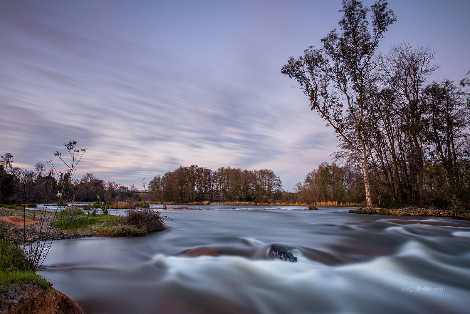
sunset sky tree nature water clouds forest river landscape americanriver
American River
yellow americanriver sacramento california state university river fog clouds autumn fall water
A Bit Foggy American River
aerialview dji oldsacramento phantom4pro sacramento aerial bridge city dreyerpicturescom drone panorama river water california unitedstatesofamerica us
Sacramento, CA
california autumn colors landscape sacramento naturesfinest coth supershot impressedbeauty flickrdiamond nejmantowicz natureselegantshots dragondaggerphoto coth5
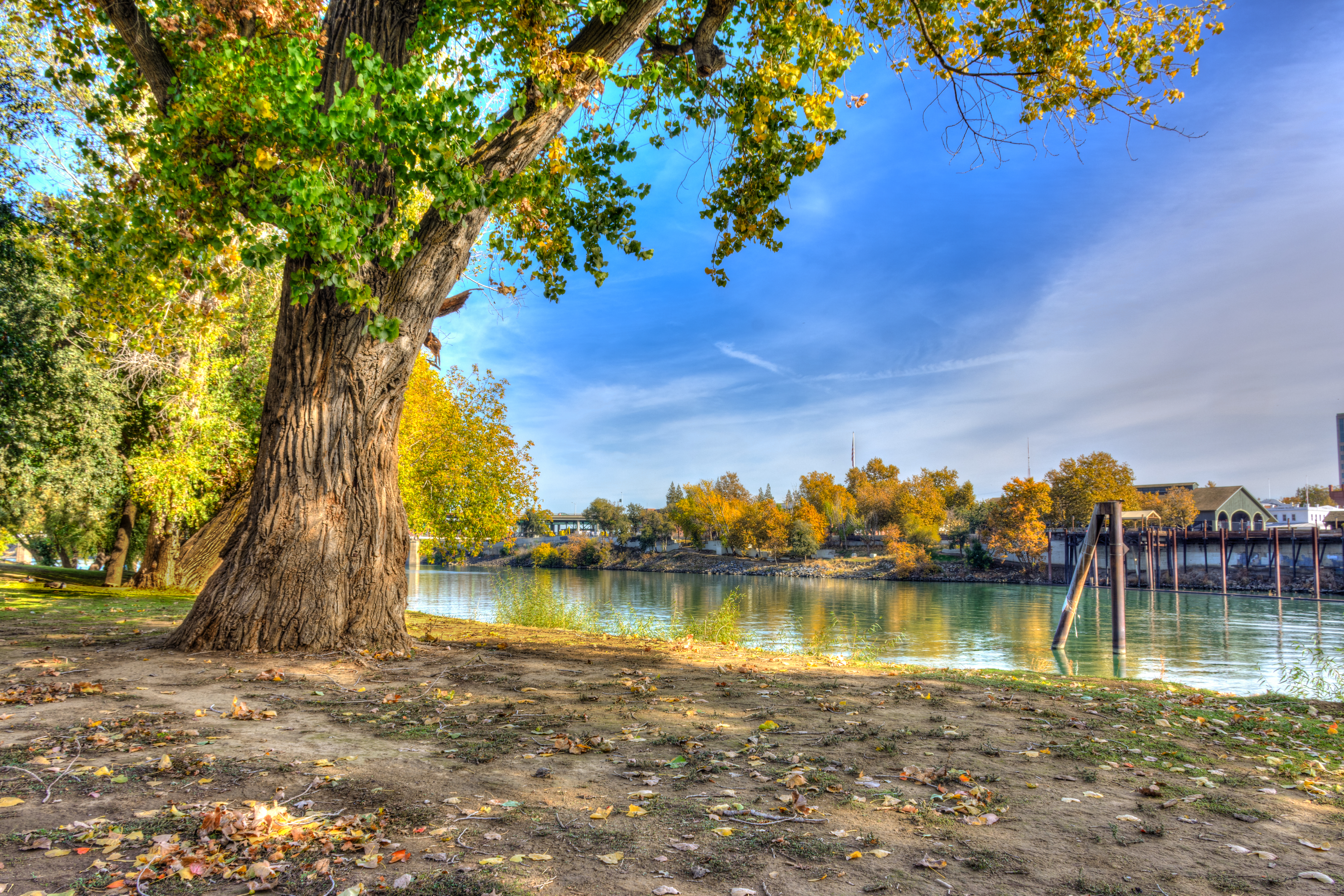
Autumn colors - Fair Oaks Park
aerialview dji oldsacramento phantom4pro sacramento aerial bridge city dreyerpicturescom drone panorama river water california unitedstatesofamerica us
Sacramento, CA
365 monthly americanriver rioamericano 3652015imstillstanding
2015-02-08 - twin trees, February
aerialview dji phantom4pro americanriver dreyerpicturescom drone fall landscape water sacramento california unitedstates us
American River - Sacramento
california christmas towerbridge canon reflections river landscape newyear christmaslights sacramento hdr sigma1020mm 2011 40d
Happy New Year!
california park city trees light urban lake fall nature water leaves reflections walking landscape photography amber pond seasons sacramento flckr williamlandpark moonjazz11
Sacramento Parks a Sanctuary of Trees
365 2015 3652015imstillstanding treasurehunttheme1
365/003 - twin trees, January
america california crockerartmuseum davidligare landscapewithanarcher museum sacramento usa unitedstates unitedstatesofamerica archer archery painting us fav10
Landscape with an Archer