Elevation of S Toe River Rd, Burnsville, NC, USA

Location: United States > North Carolina > Yancey County > Burnsville > Burnsville >

Longitude: -82.198550

Latitude: 35.7697068

Elevation: -10000m / -32808feet

Barometric Pressure: 295KPa

Elevation Map:

elevation map of S Toe River Rd, Burnsville, NC, USA

Satellite Map:

Satellite map of S Toe River Rd, Burnsville, NC, USA

Related Photos:

blueridgeparkway mountains northcarolina
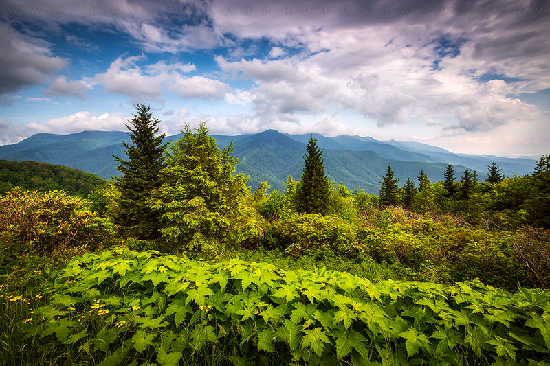
Along the Blue Ridge parkway
longexposure mountains nature waterfall nc logs northcarolina hdr naturephotography mcdowellcounty tomscreekfalls davidhopkinsphotography
Tom's Creek Falls 2
blue autumn orange foothills mountain tree green art fall leaves yellow clouds forest season mt parks foliage ridge national parkway change mitchell
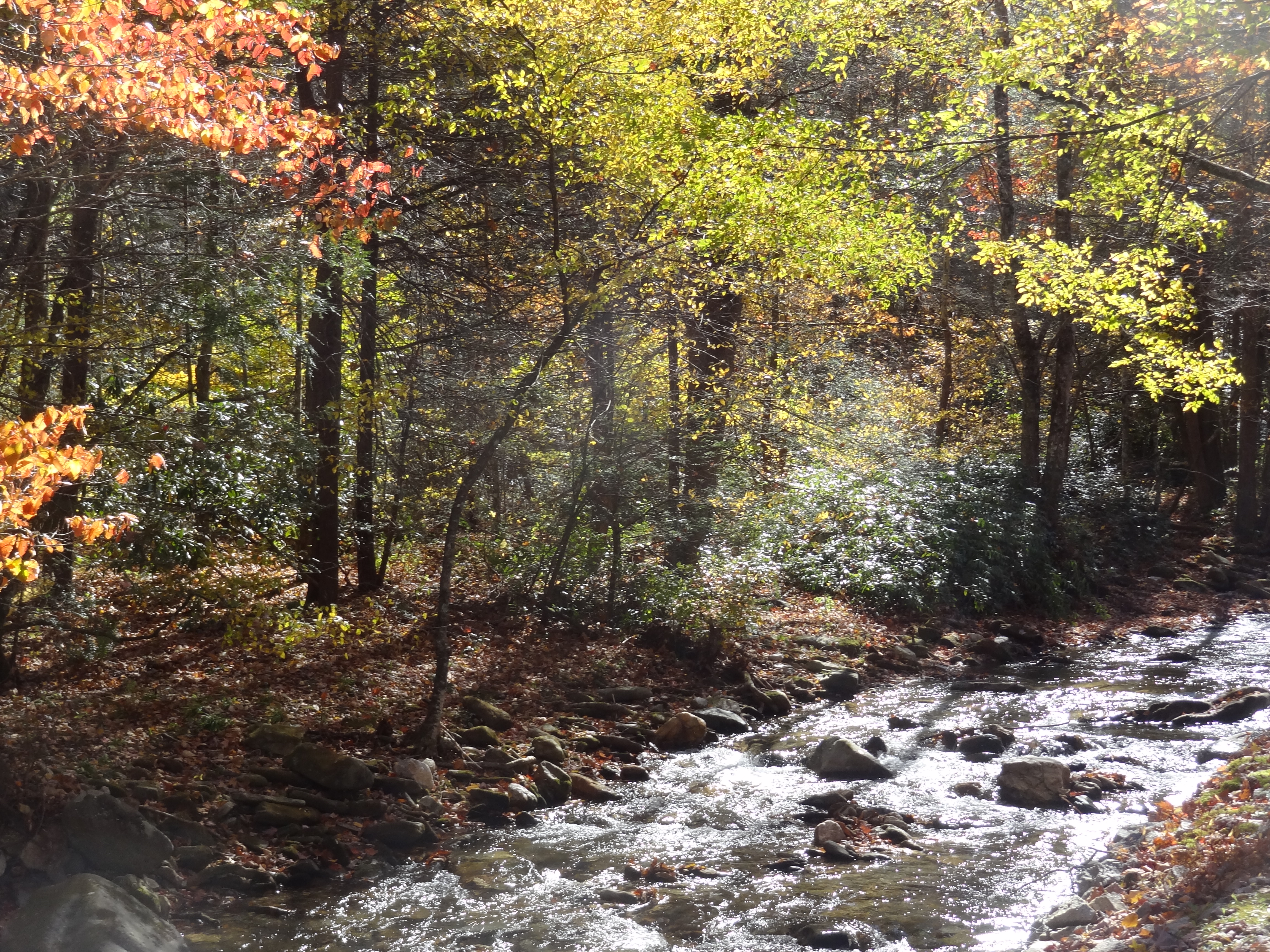
Magic Autumn Morning
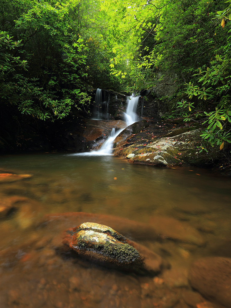
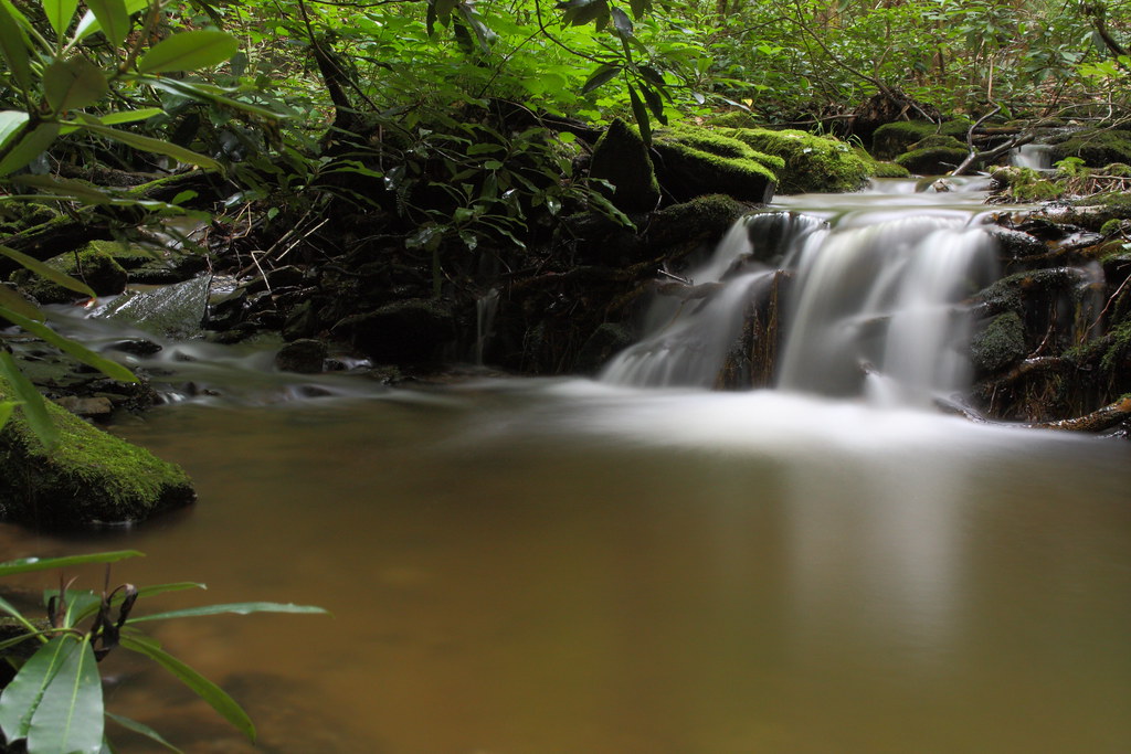
sunrise waterfall northcarolina linvillegorge canon100400 northcarolinamountains canon1635f28 canon24105f4 uppercreekfalls wisemansview northcarolinawaterfalls durinsday canon6d whiteoakcreekfalls
White Oak Creek
mountain green wet water fog creek landscape outdoors waterfall moving nc stream northcarolina falling lush blueridgeparkway wnc brp westernnorthcarolina mitchellcounty litleswitzerland
The Cascades at Grassy Creek
longexposure mountains nature water pool creek waterfall nc rocks northcarolina naturephotography yanceycounty nothdr mywinners roaringforkfalls waterfallphotography davidhopkinsphotography psalm464 ncpedia
Roaring Fork Falls and Pool
mountmitchell asheville nc blueridgeparkway outdoors scenic mountains nature northcarolina landscape appalachian mountain peak peaks mitchell statepark june spring
Mount Mitchell Asheville NC Blue Ridge Parkway Mountains Landscape
morning blue autumn orange mountains fall nature yellow sunrise nc asheville north scenic northcarolina foliage ridge parkway carolina peaks oaks maples appalachia blueridgeparkway ridges appalachians wnc westernnorthcarolina greenknob mygearandmesilver mygearandmegold mygearandmeplatinum mygearandmediamond
Blue Ridge Parkway Sunrise - Light, Lines, and Leaves
clouds sky trees valley mountain ncmountainman nikon d3400 phixe brp blueridgeparkway nc northcarolina vista scenic cumulus erosion mountmitchell ngs nationalgeographicsociety forest woods lowresolutionversion breathtakinglandscapes
Clouds at 6684ft
sunrise waterfall northcarolina linvillegorge canon100400 northcarolinamountains canon1635f28 canon24105f4 uppercreekfalls wisemansview northcarolinawaterfalls durinsday canon6d whiteoakcreekfalls
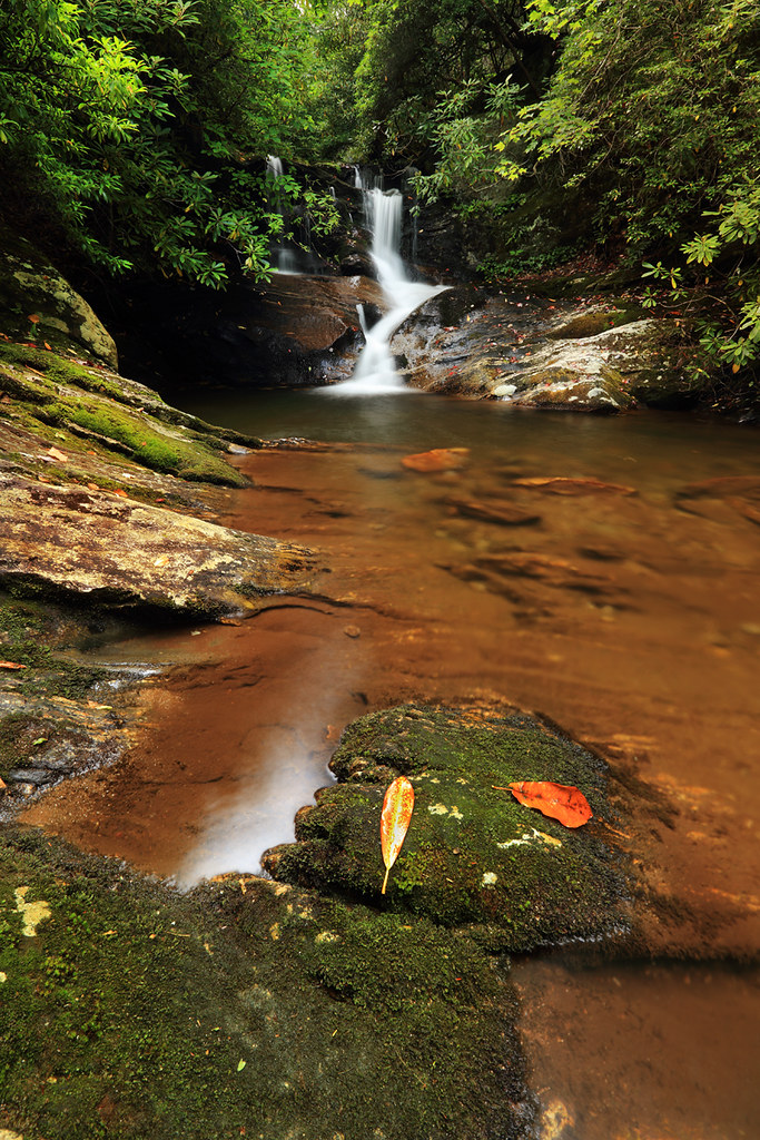
White Oak Creek Falls
fall water forest waterfall woods topaz wnc 4252 102211 public2011 52weeksfornotdogs roaringforkswaterfall
Roaring Fork Falls, NC (42/52)
pauldiming 2018asheville stateparks landscape burnsvillenorthcarolina burnsville northcarolina northcarolinastateparks parks park yanceycounty blackmountains drelishamitchell restaurant dailyphoto summer apalachianmountains blackmountainsrange scenic mountmitchellstateparkrestaurant mountmitchellstatepark d7000 yanceycountynorthcarolina statepark mountain unitedstates us
View from the Lodge @ Mt. Mitchell State Park - Burnsville, NC
longexposure sun mist nature waterfall nc rainbow log rocks northcarolina hdr blueridgeparkway naturephotography crabtreefalls brp yanceycounty waterfallphotography davidhopkinsphotography ncpedia
Misty Rainbow
bridge blue autumn usa mountains fall water beautiful leaves yellow photography waterfall woods nikon long exposure zoom north wide peaceful falls foliage ridge parkway nikkor overlook hdr crabtree brp
autumn wanes at Crabtree Falls
autumn mountains color fall water leaves creek waterfall leaf nc moss log rocks stream northcarolina photograph swirl ncmountains yanceycounty ncwaterfalls roaringforkfalls waterfallphotography davidhopkinsphotography photocontestfall10 ncpedia
Swirl Pool
northcarolina ncmountains yanceycounty parks stateparks mtmitchellstatepark nationalparks blueridgeparkway mountainviews blueskywispyclouds fencesgates april2019 april 2019 canon24704l
Top of North Carolina
longexposure waterfall nc northcarolina swirls hdr ncmountains yanceycounty ncwaterfalls roaringforkfalls davidhopkinsphotography photocontestfall10 ncpedia
The Orange Rock
square squareformat iphoneography instagramapp uploaded:by=instagram foursquare:venue=4e14f72518a8addae8c5d265
The view from here. #viewfromhere #travel #blueridgeparkway #nofilter #nc
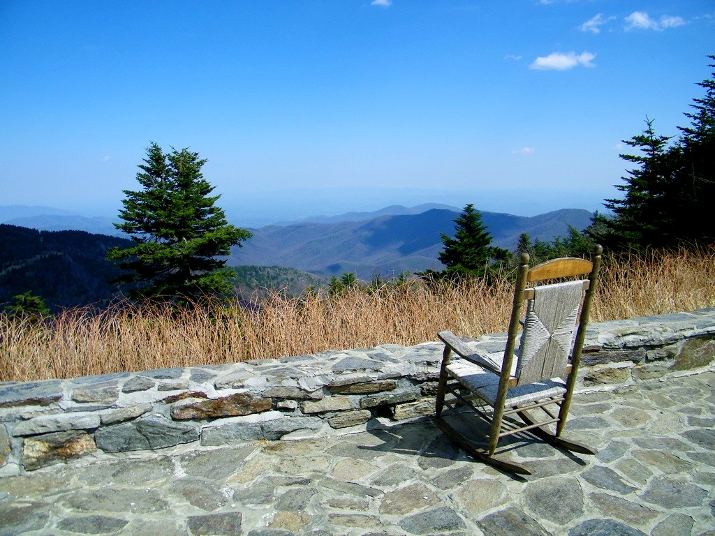
rockingchair chair deck view stone trees mountains valleys sky clouds porch pines ncmountainman carolina blueridgeparkway kodak z1015 is yanceycounty phixe lowresolutionversion
Rocking Chair
longexposure mountains nature creek waterfall nc stream northcarolina marion cascade naturephotography mcdowellcounty tomscreek davidhopkinsphotography
Tom's Creek Cascade
Mount Mitchell (First Summit), 2017_05_20
square squareformat iphoneography instagramapp uploaded:by=instagram foursquare:venue=4d4af4f77ac1a0902cf13ea9
The Cure
blue autumn mountains fall water colors fog landscape photography waterfall nc pentax hiking north falls foliage ridge trail parkway carolina appalachian 15mm blueridge crabtree milepost 3395 k5ii
Crabtree Falls NC
autumn trees sun sunlight color fall water forest rocks colorful stream shadows northcarolina flowing buckcreek
Buck Creek with colorful trees
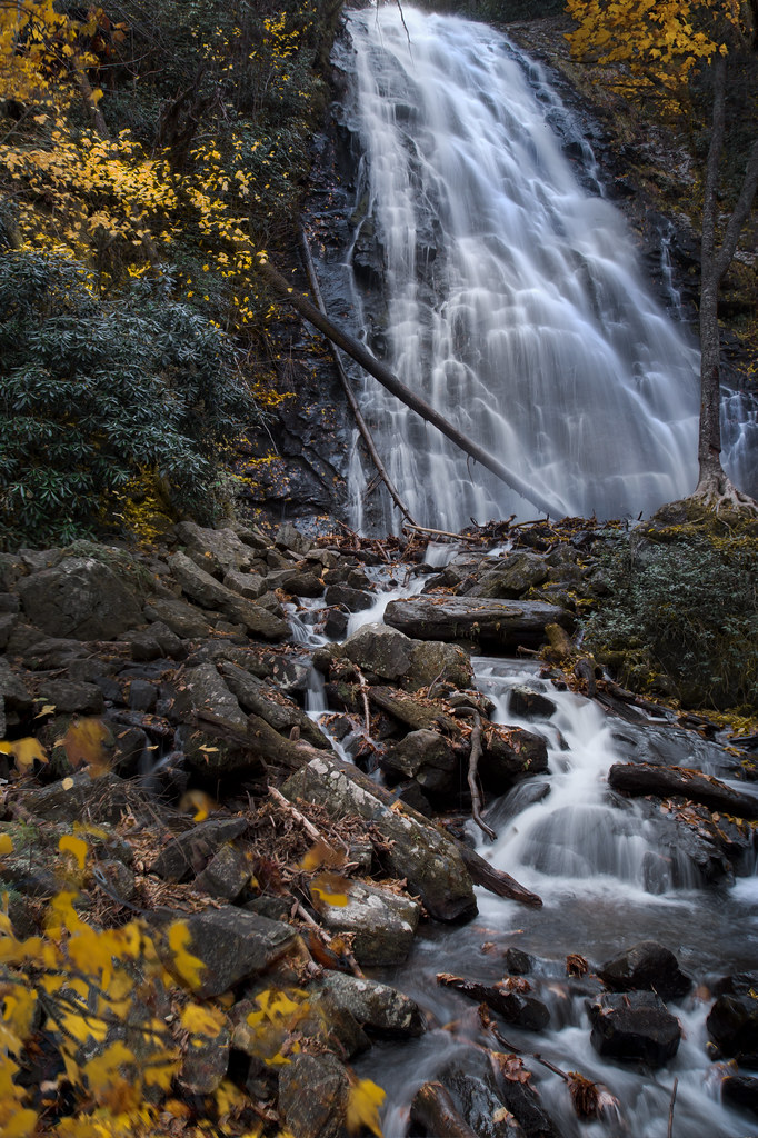
travel autumn fall other fallcolors north waterfalls carolina crabtreefalls
Crabtree Falls
Catawba empties on the loops
Springtime in Old Fort
Roaring Fork- Vertical
southern railway 8099 heritage north carolina old fort
Home sweet home
sunset evening unitedstates northcarolina blueridgeparkway burnsville
Sunset, Blue Ridge Parkway, North Carolina.
3 miles in one shot with 749.
life green canon catchycolors photography christ god path jesus joy christian bible christianity inspirational promise encourage mountainpath verse encouragement bibleverse northcarolinamountains precept southernphotography psalm1611 canont2i canonrebelt2i lightattheendofapath youwillshowmethepathoflife highpasturesretreatcenter momentstohold
You will show me the path of life
Crabtree Falls (Hold the Lumber)