Elevation of S th Pl, Kent, WA, USA
Location: United States > Washington > King County > Kent >
Longitude: -122.2656746
Latitude: 47.3889681
Elevation: 11m / 36feet
Barometric Pressure: 0KPa
Related Photos:

Dew (Explored)

embracing the sun...

Miss Bug

Millpond Desires

Swept Away

Spring is in the Air
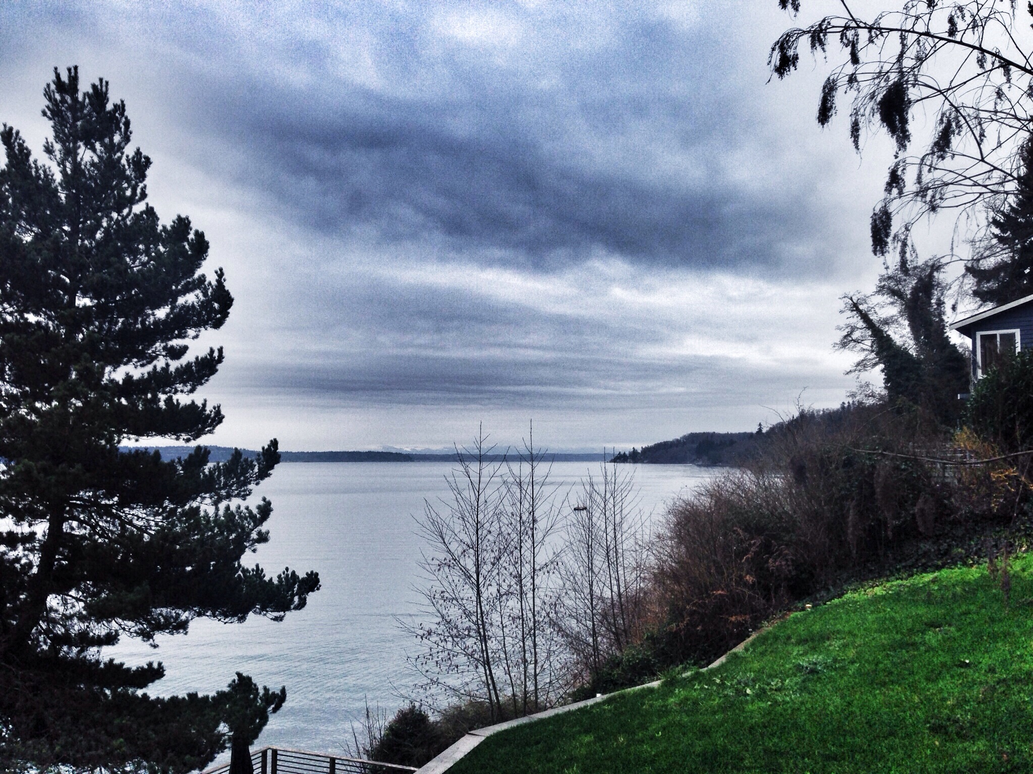
Our New View (54/365)
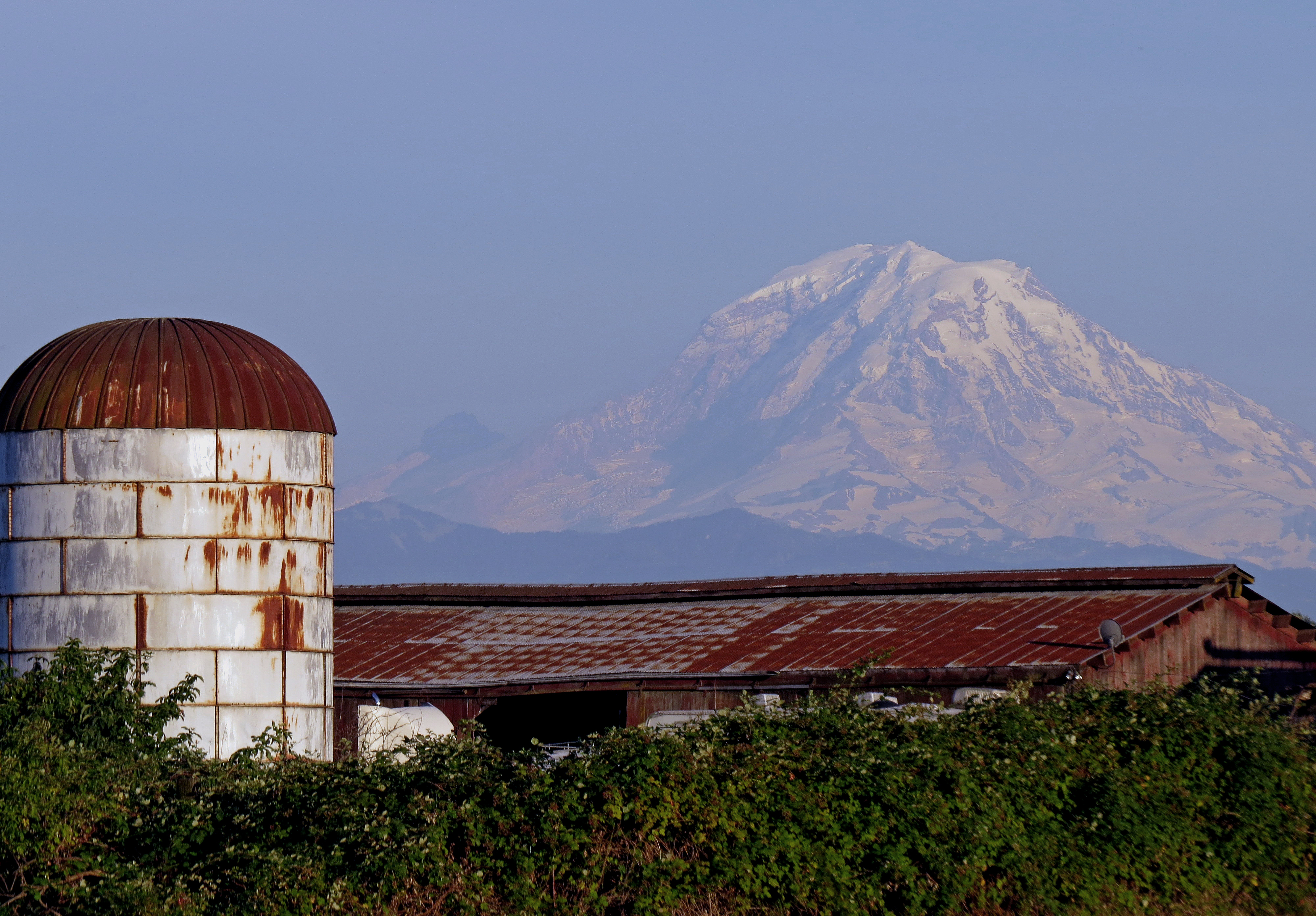
Mt. Rainier

Northwest DC-10 at SEA

Sunrise of Maury
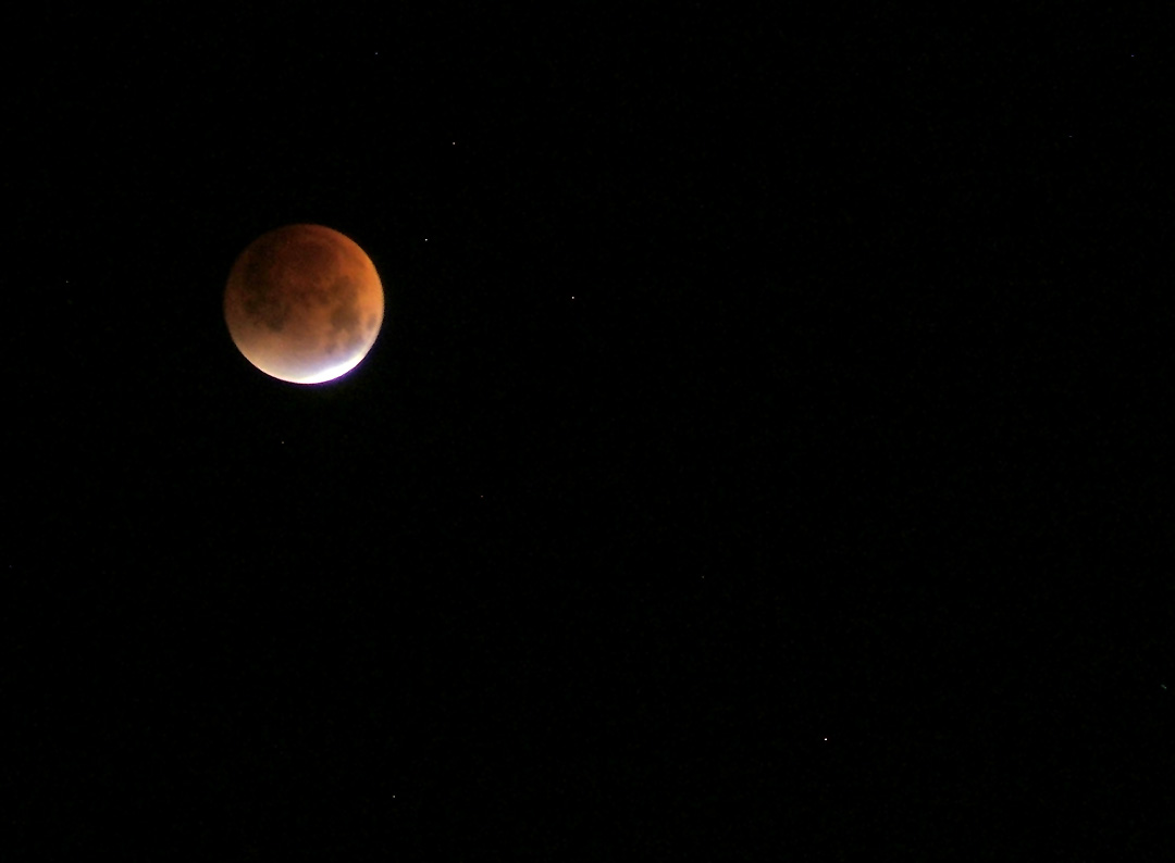
Lunar Eclipse

The Sage Marquee

I Got All My Ducks In A Row!!!

Foggy Morning.....

Sun Worship

A different view of A6-FEJ

View from the top
Mount Rainier

Silly 'Cooners!

Sunset Oct 27, 2007

Hummer On Ice

Almost Touching The Sky

I am sailing, I am sailing, home again 'cross the sea. I am sailing, stormy waters, to be near you, to be free.

Golden Maple
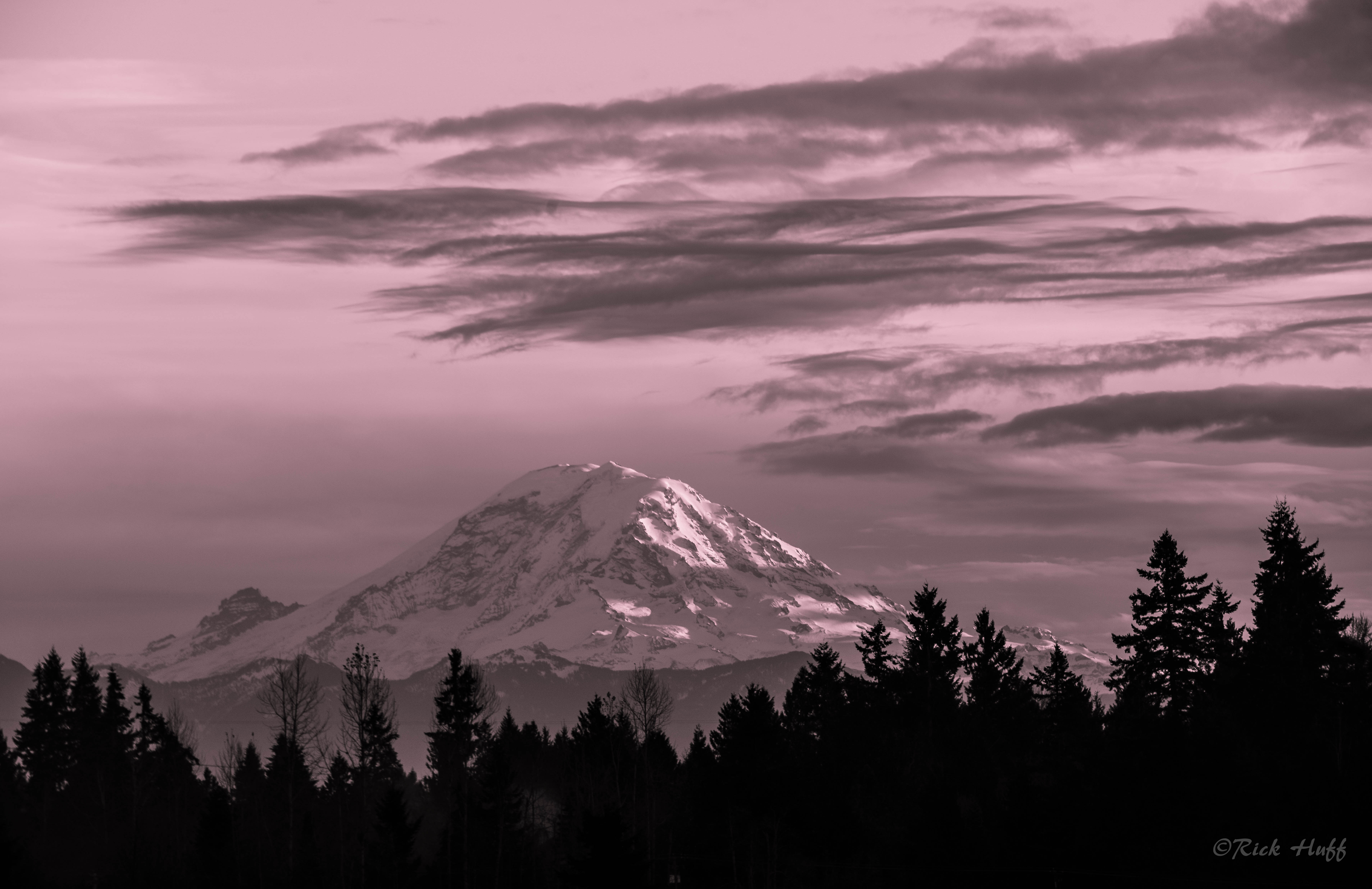
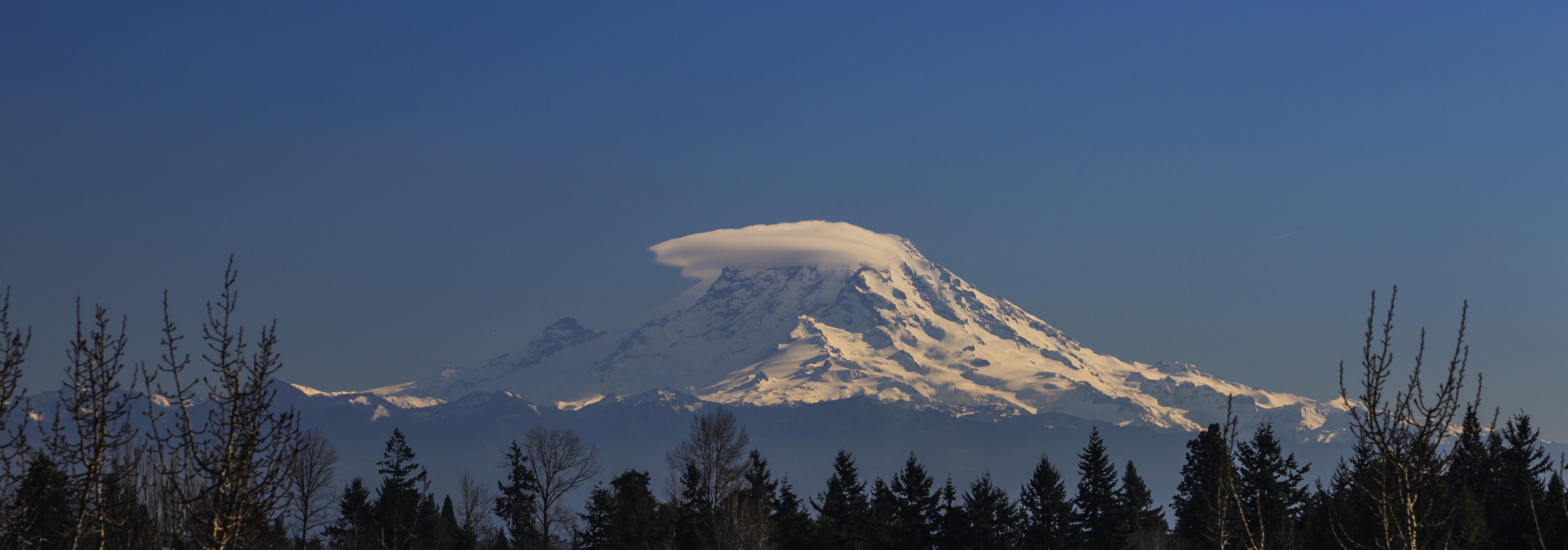
Mt. Rainier

Peaceful Waterfall

Maple Interior

Goodmorning Sunshine

Baby boo.

Hicks Lake

Over the Hills

October Sunrise

Alone?

Pretty in Pink

In a Field of Dreams
Year of the Birdie!
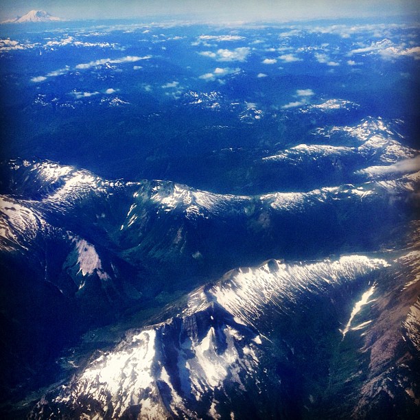
Approaching Seattle

Finding my way

bike trail in Washington

Pink Sunrise

Yellow Is Nice, Too
Topographic Map of S th Pl, Kent, WA, USA
Find elevation by address:

Places near S th Pl, Kent, WA, USA:
5508 S 237th Pl
5508 S 237th Pl
23612 55th Ave S
24620 Russell Rd
23200 64th Ave S
24510 64th Ave S
South 228th Street
1313 W James St
6750 S 228th St
22209 45th Ave S
Simpson Strong-tie Company
22023 68th Ave S
7215 S 228th St
5801 S 212th St
25014 35th Pl S
Rjc/kent Cmns
615 W Harrison St
1216 6th Ave N
King County Superior Court
21409 72nd Ave S
Recent Searches:
- Elevation of 2881, Chabot Drive, San Bruno, San Mateo County, California, 94066, USA
- Elevation of 10370, West 107th Circle, Westminster, Jefferson County, Colorado, 80021, USA
- Elevation of 611, Roman Road, Old Ford, Bow, London, England, E3 2RW, United Kingdom
- Elevation of 116, Beartown Road, Underhill, Chittenden County, Vermont, 05489, USA
- Elevation of Window Rock, Colfax County, New Mexico, 87714, USA
- Elevation of 4807, Rosecroft Street, Kempsville Gardens, Virginia Beach, Virginia, 23464, USA
- Elevation map of Matawinie, Quebec, Canada
- Elevation of Sainte-Émélie-de-l'Énergie, Matawinie, Quebec, Canada
- Elevation of Rue du Pont, Sainte-Émélie-de-l'Énergie, Matawinie, Quebec, J0K2K0, Canada
- Elevation of 8, Rue de Bécancour, Blainville, Thérèse-De Blainville, Quebec, J7B1N2, Canada
- Elevation of Wilmot Court North, 163, University Avenue West, Northdale, Waterloo, Region of Waterloo, Ontario, N2L6B6, Canada
- Elevation map of Panamá Province, Panama
- Elevation of Balboa, Panamá Province, Panama
- Elevation of San Miguel, Balboa, Panamá Province, Panama
- Elevation of Isla Gibraleón, San Miguel, Balboa, Panamá Province, Panama
- Elevation of 4655, Krischke Road, Schulenburg, Fayette County, Texas, 78956, USA
- Elevation of Carnegie Avenue, Downtown Cleveland, Cleveland, Cuyahoga County, Ohio, 44115, USA
- Elevation of Walhonding, Coshocton County, Ohio, USA
- Elevation of Clifton Down, Clifton, Bristol, City of Bristol, England, BS8 3HU, United Kingdom
- Elevation map of Auvergne-Rhône-Alpes, France