Elevation of S State St, Ukiah, CA, USA
Location: United States > California > Ukiah >

Longitude: -123.20729

Latitude: 39.1499871

Elevation: 191m / 627feet

Barometric Pressure: 99KPa

Elevation Map:

elevation map of S State St, Ukiah, CA, USA
Satellite Map:

Satellite map of S State St, Ukiah, CA, USA
Related Photos:

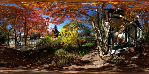
ukiah wow
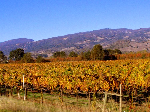
Fall Colors, Ukiah (Explore)
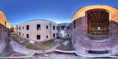
palacehotel ukiah equirectangular
Palace Hotel in Ukiah
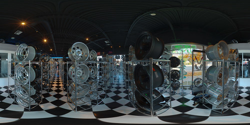
ukiah ceja equirectangular
Racks of Wheels at Ceja Quality Tires, Ukiah
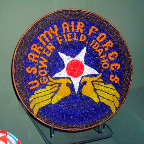
Pomo Basket
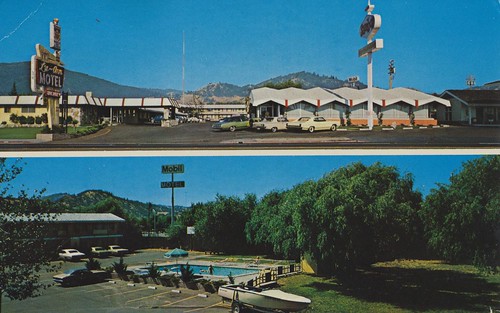
california pool vintage postcard motel ukiah luann sambos dualview friendshipinn
Lu-Ann Motel - Ukiah, California
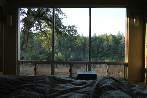
trees windows dog forest bedroom trot sheepdung dogtrot
Waking Up
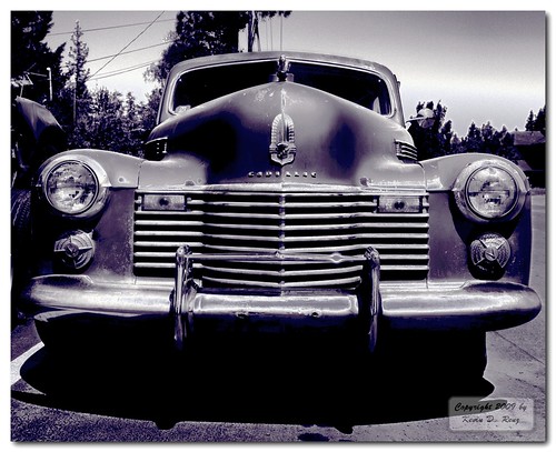
bw contrast rust oldcar hdr 1947 ukiah ukiahcalifornia 1947cadillac glixpix kevinrenz kdrenz
Caddi One 1
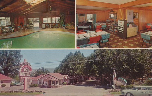
california vintage postcard motel 101 aaa us101 ukiah arrowsign indoorpool cigarettemachine poolview restaurantview triview
101 Motel - Ukiah, California
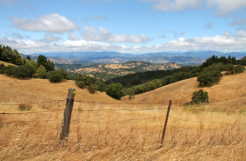
sky fence golden day post cloudy hills valley ukaih
Toward Ukiah Valley
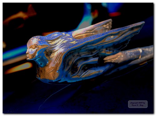
blue sculpture color detail macro art beauty car northerncalifornia metal design automobile colorful details dramatic ornament rusted americana artdeco unusual oldcar hdr hoodornament ukiah ukiahcalifornia 1947cadillac olympuse30 glixpix kevindrenz zuiko1454f28ii kevinrenz kdrenz
Caddi Hood Ornament 1
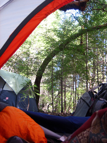
ca trees tent annwfn
View from my tent
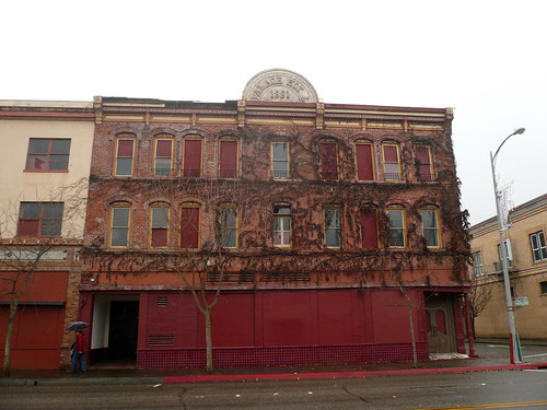
california usa hotel urbandecay palacehotel ukiah
Palace Hotel, Ukiah, CA
Valley View Trail, Cow Mountain BLM, Ukiah, CA - 20 February 2015
ranch dog house lake water swim hope mutt long pointer sonoma piano valley fetch trot sheepdung
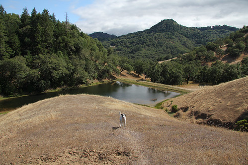
Yay! Piano Lake!
ranch dog house long sonoma valley trot sheepdung
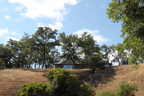
Dog Trot House
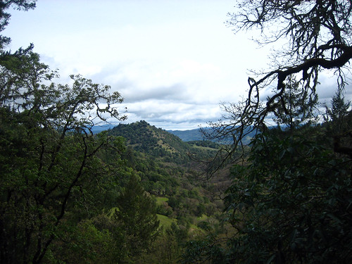
View from the outlook
peacock ukiah talmage mendocinocounty cttb cityoftenthousandbuddhas cityof10000buddhas dharmarealmbuddhistuniversity drbu
Back window view
ca trees forest annwfn
View from Buds Rock
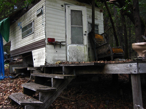
ca abandoned chair campershell oldchair annwfn ancestrallot
Another View
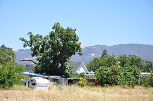
california ca mountains field view trailer ukiah mappingmainstreet
MappingMainStreet_UkiahCA-23
airplanes b17 bomber aluminumovercast
Ball Turret
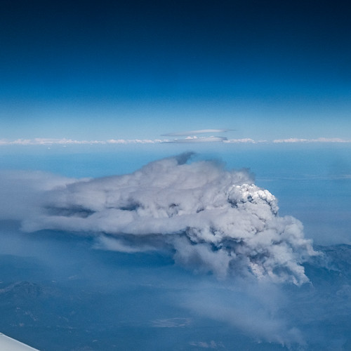
Firestorm broke out hours later
ukiah california unitedstates us fire aerial mendocino mendocinocomplexfire pyrocumulus august 2018 wildlandfire bushfire smoke cloud lenticularcloud pyrocumulonumbus flammagenitus weather extremeweather
Mendocino Complex Fire Pyrocumulus cloud facing North-East
noflash hipstamatic madalenalens robustafilm
#HipstaConnect #PureHipstamatic #HipstaNerds
Camping with the fams.
ca olympuspen winecountry vinyard duaflexii 2011 ttv multix incameradiptych elroble 254365 leftoverking ttv365
fruit of the vine
lakemendocino ukiah talmage mendocinocounty drbu bikeride cawx
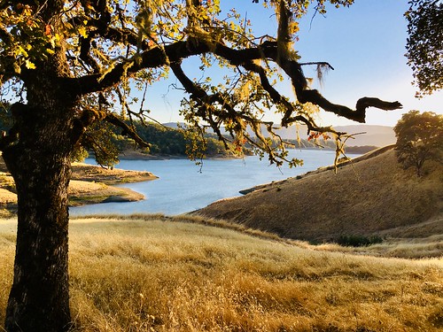
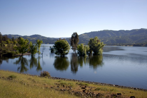
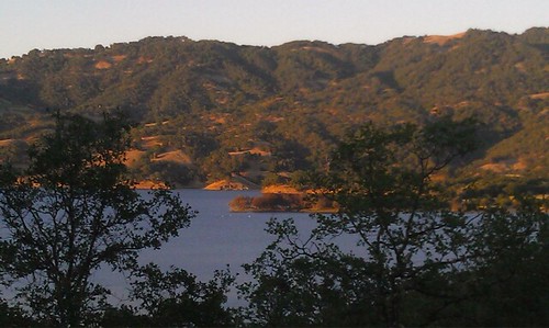
Lake Mendocino
lakemendocino ukiah talmage mendocinocounty drbu bikeride cawx twitter tumblr
Lake Mendocino
moon timelapse mendocino ukiah
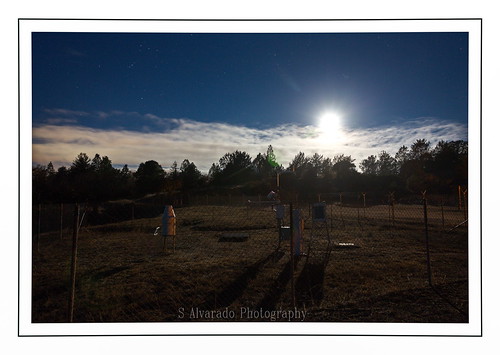
Alien Landing?
ca trees tree forest annwfn
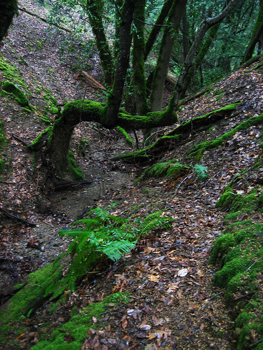
More trees
panorama mendocino lakemendocino
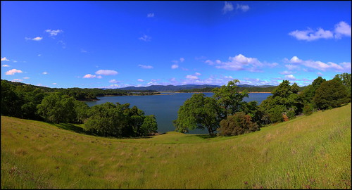
Lake Mendocino
california unitedstates pottervalley
DSC_3311.jpg
mendocino ukiah lakemedocino
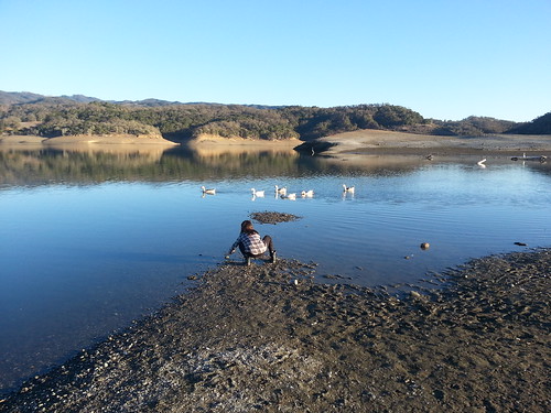
The Bottom of the Lake
valencia square squareformat iphoneography instagramapp uploaded:by=instagram foursquare:venue=4c31683a7cc0c9b695d8ee9a
My own private skyline.
Lake Mendocino
america landscape flight
New York
trees sunset clouds
Quiet Sunset
Lake mendocino, beautiful frolf course.
square squareformat mayfair iphoneography instagramapp uploaded:by=instagram
Jenner, CA, on our way to Point Arena
california mountain landscape vineyard vines decor roadtrip2007 november2007
On the road again, Seein' things that I may never see again