Elevation of S State Rd 5-57, Cromwell, IN, USA
Location: United States > Indiana > Noble County > Washington Township >
Longitude: -85.641802
Latitude: 41.310305
Elevation: 273m / 896feet
Barometric Pressure: 98KPa
Elevation Map:
Satellite Map:
Related Photos:
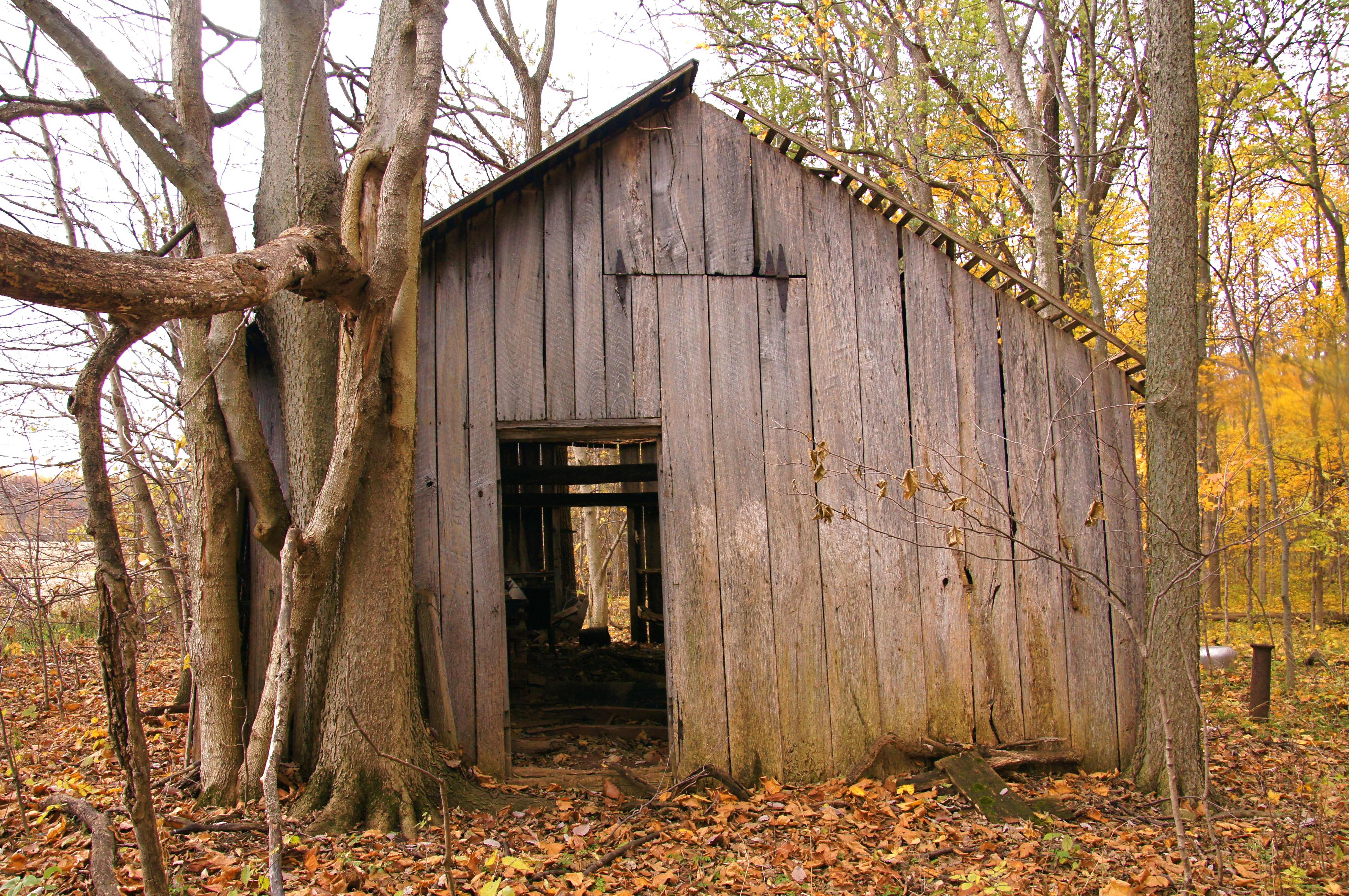
Sugar Shack, Kosciusko County, IN

4th of July Fireworks

Lakeside View

Double Shot

P9065954c.jpg
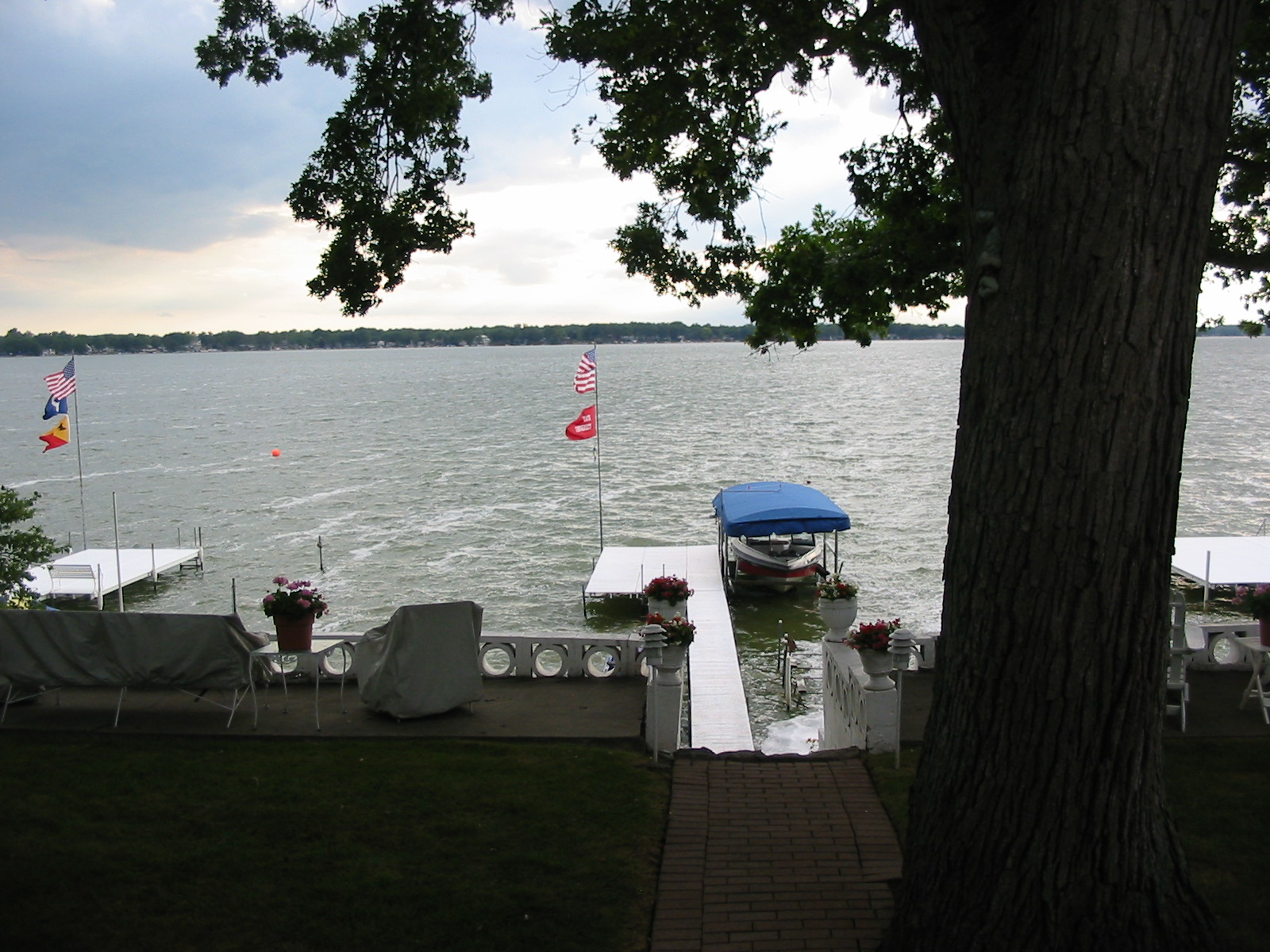
Pier 68 View
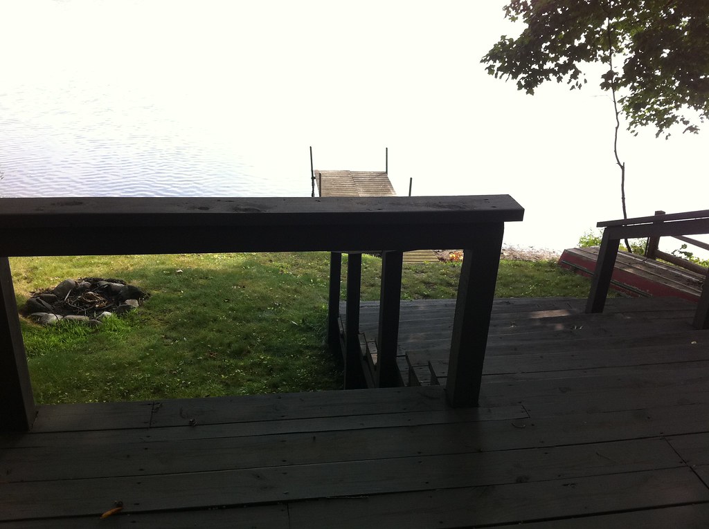
View from the Deck

Spring Repose

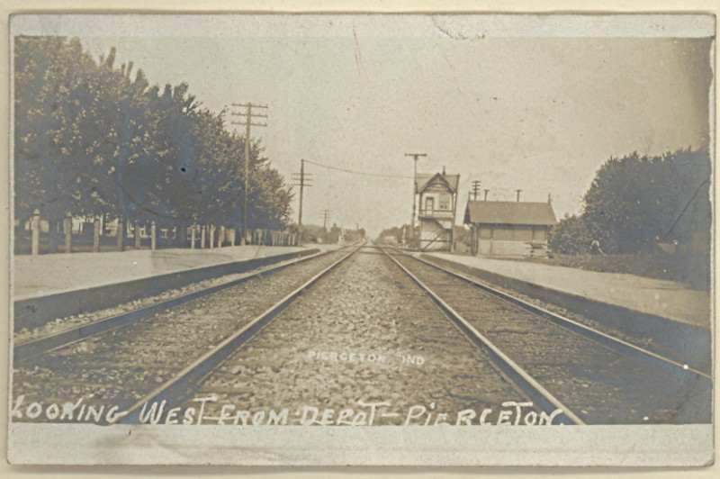
View looking west from Pierceton Depot
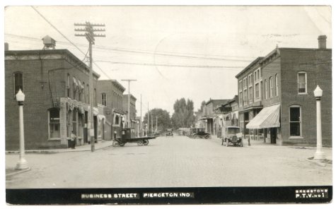
Pierceton Postcard, c. 1925
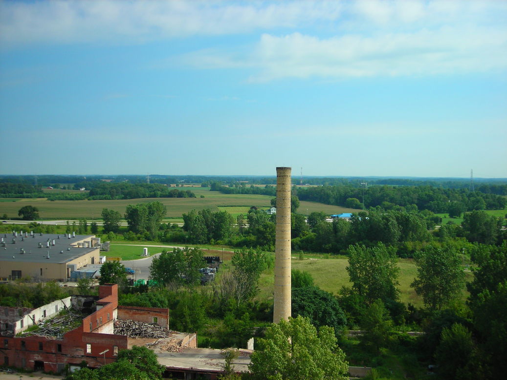
View from Pierceton Water Tower

Quaker Haven Sunset
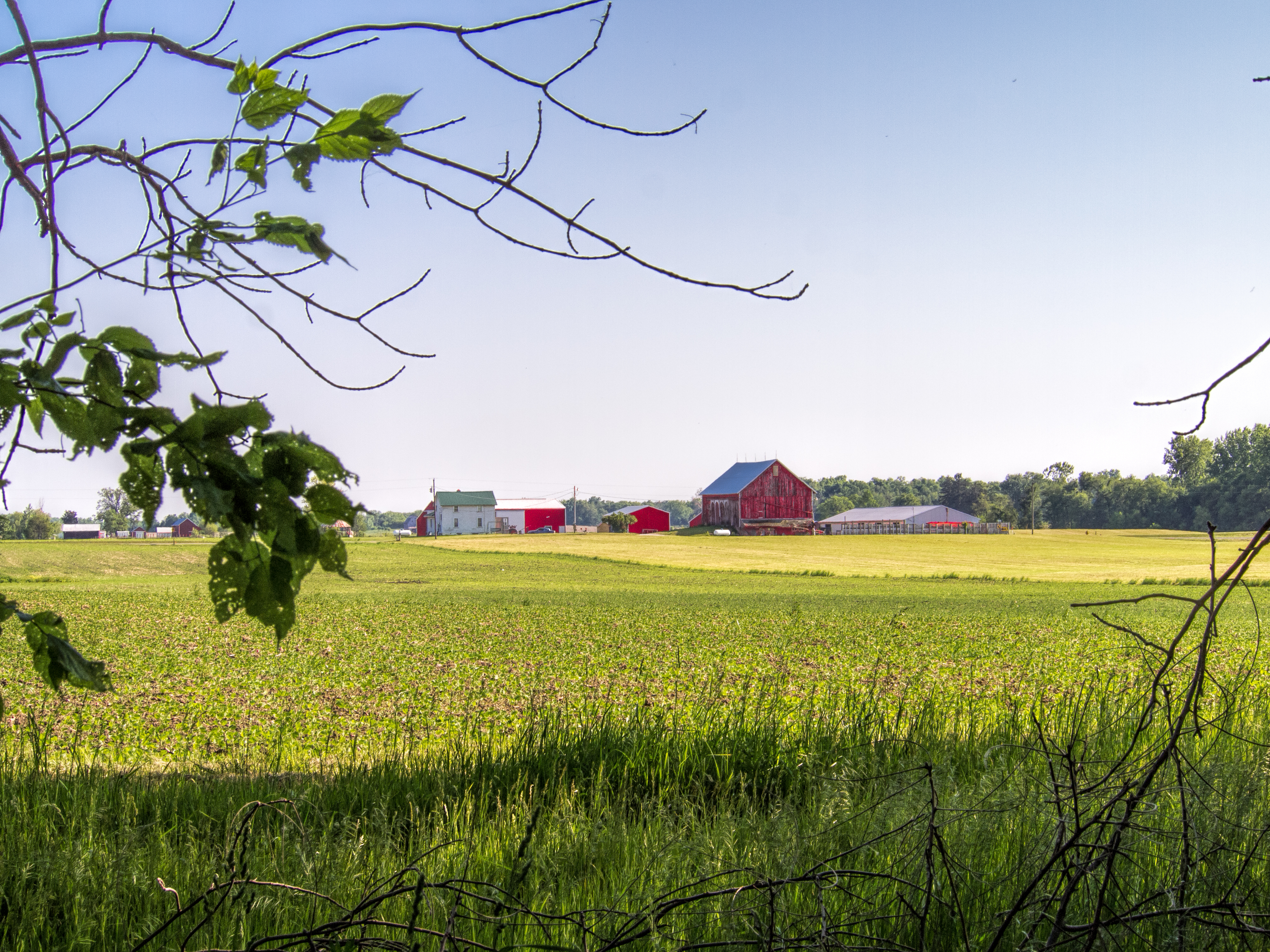
Indiana Farm at 5:38 pm
PPL-003-804e_300
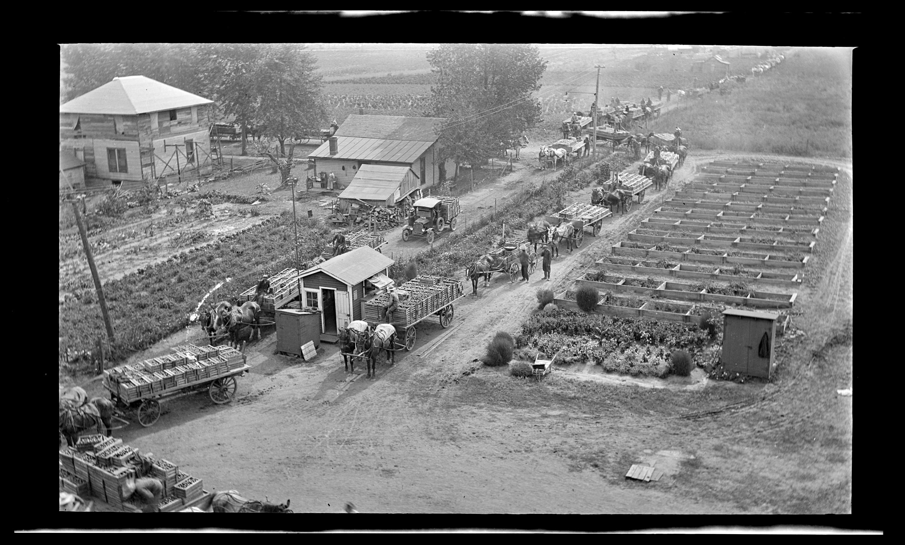
Pierceton Railroad tracks, c. 1915

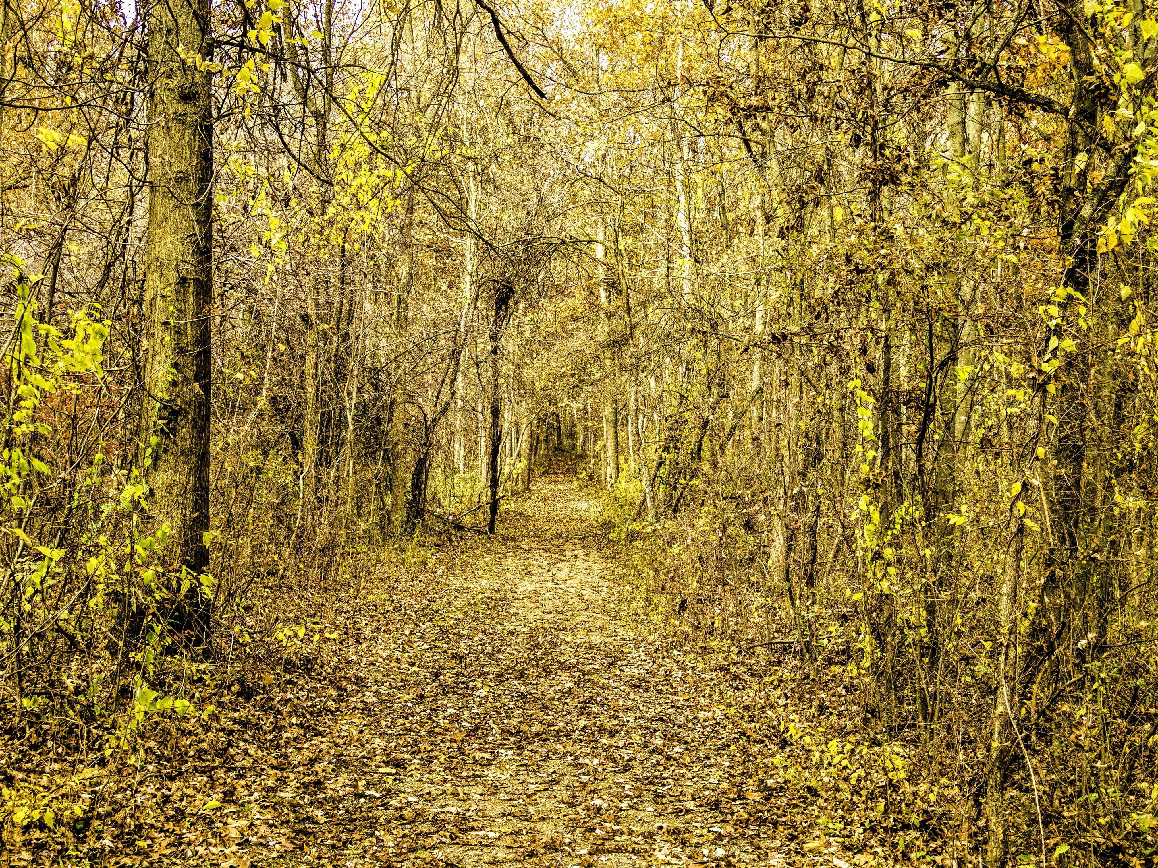
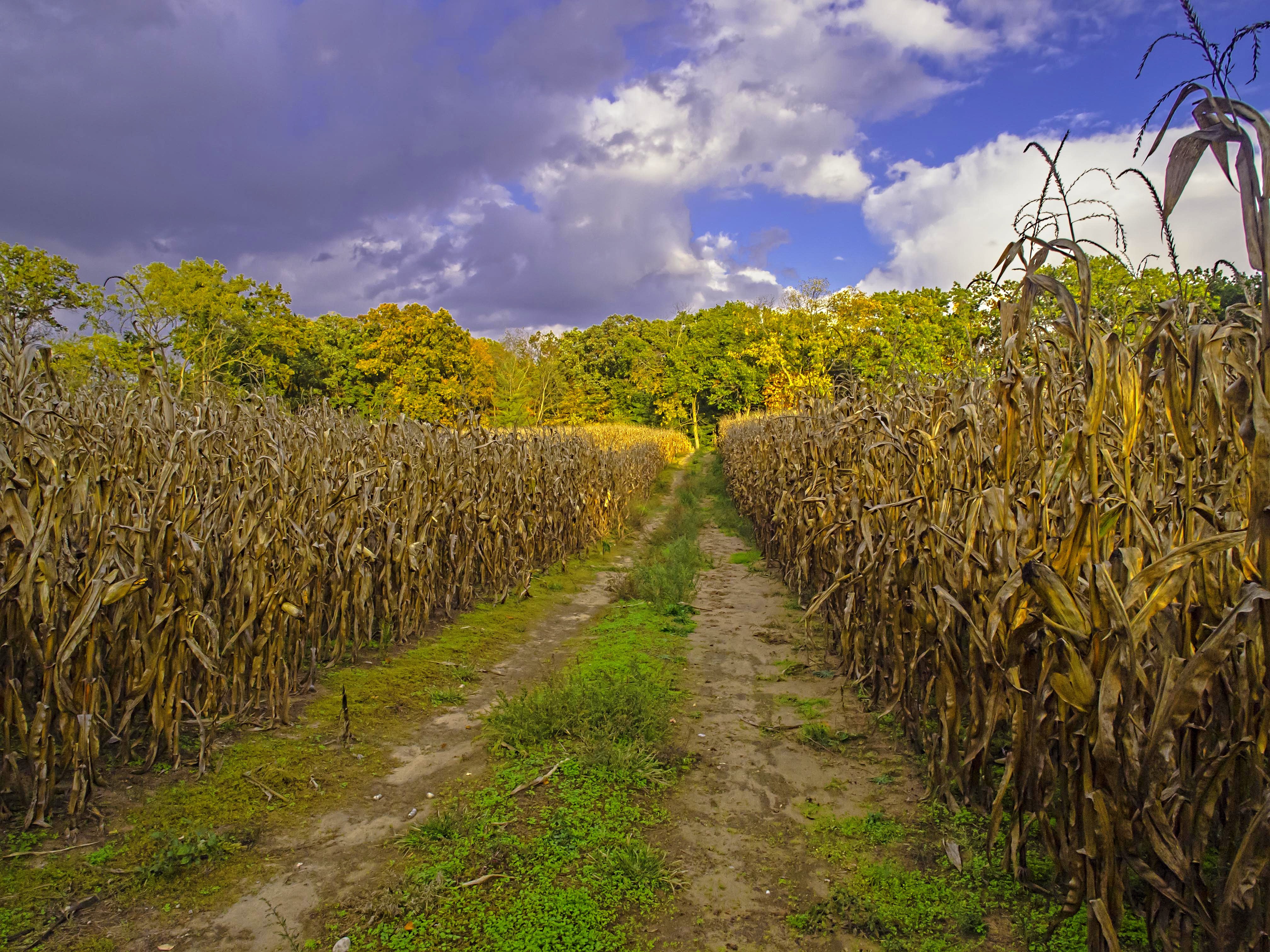
Golden Pathway
Luckey's Lane of Merry Lea Center
The Other Side

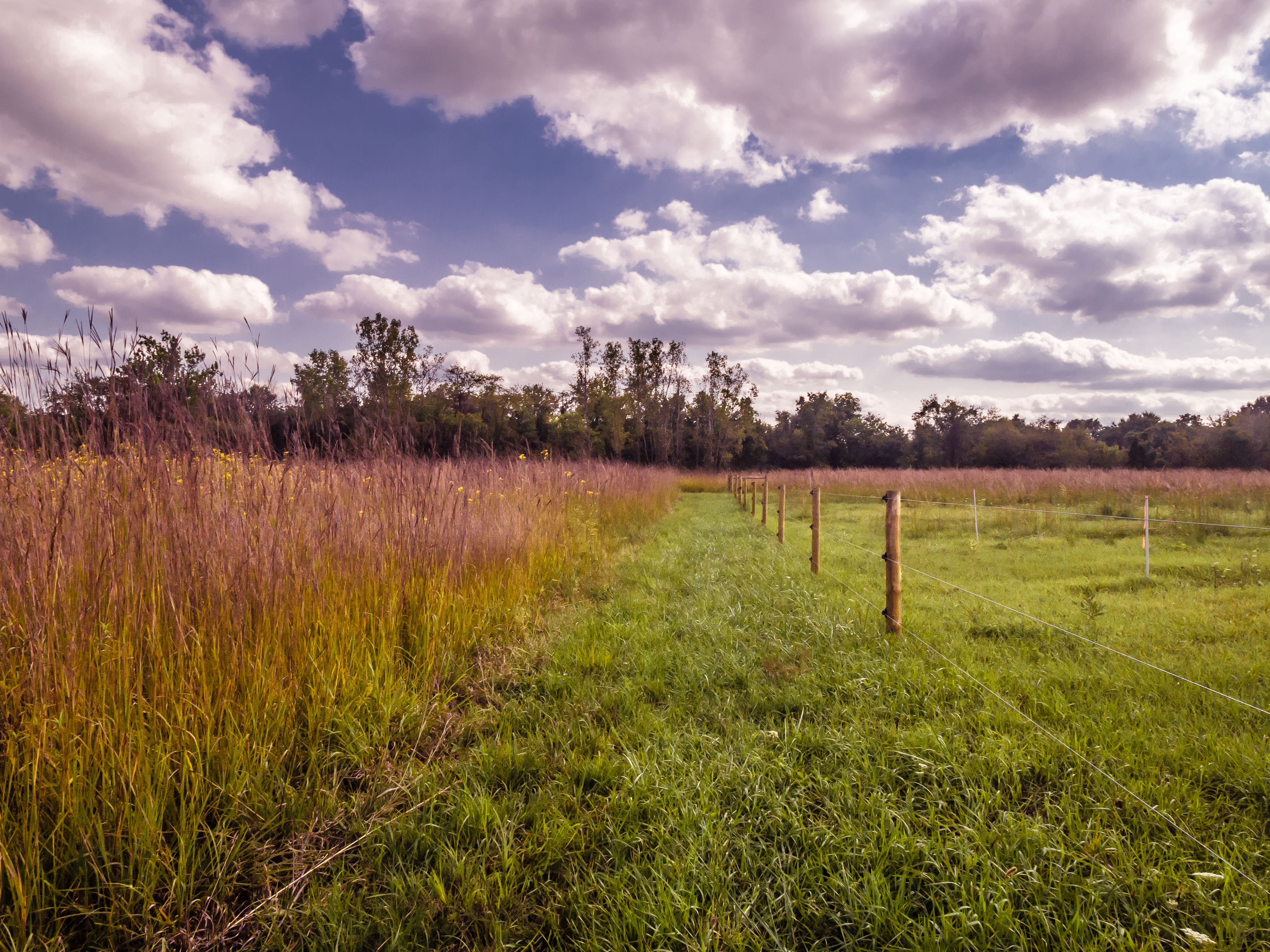
Bear Lake Prairie on Trail K

Back to Kesling
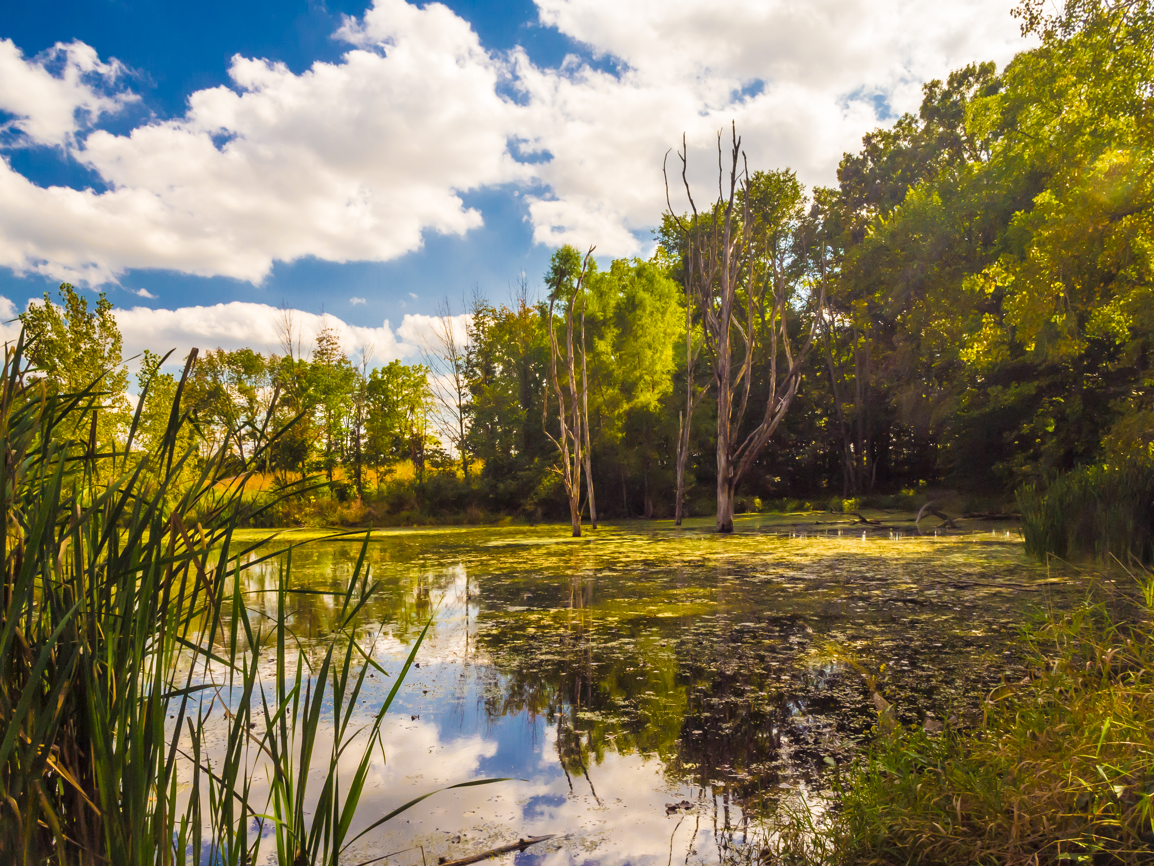
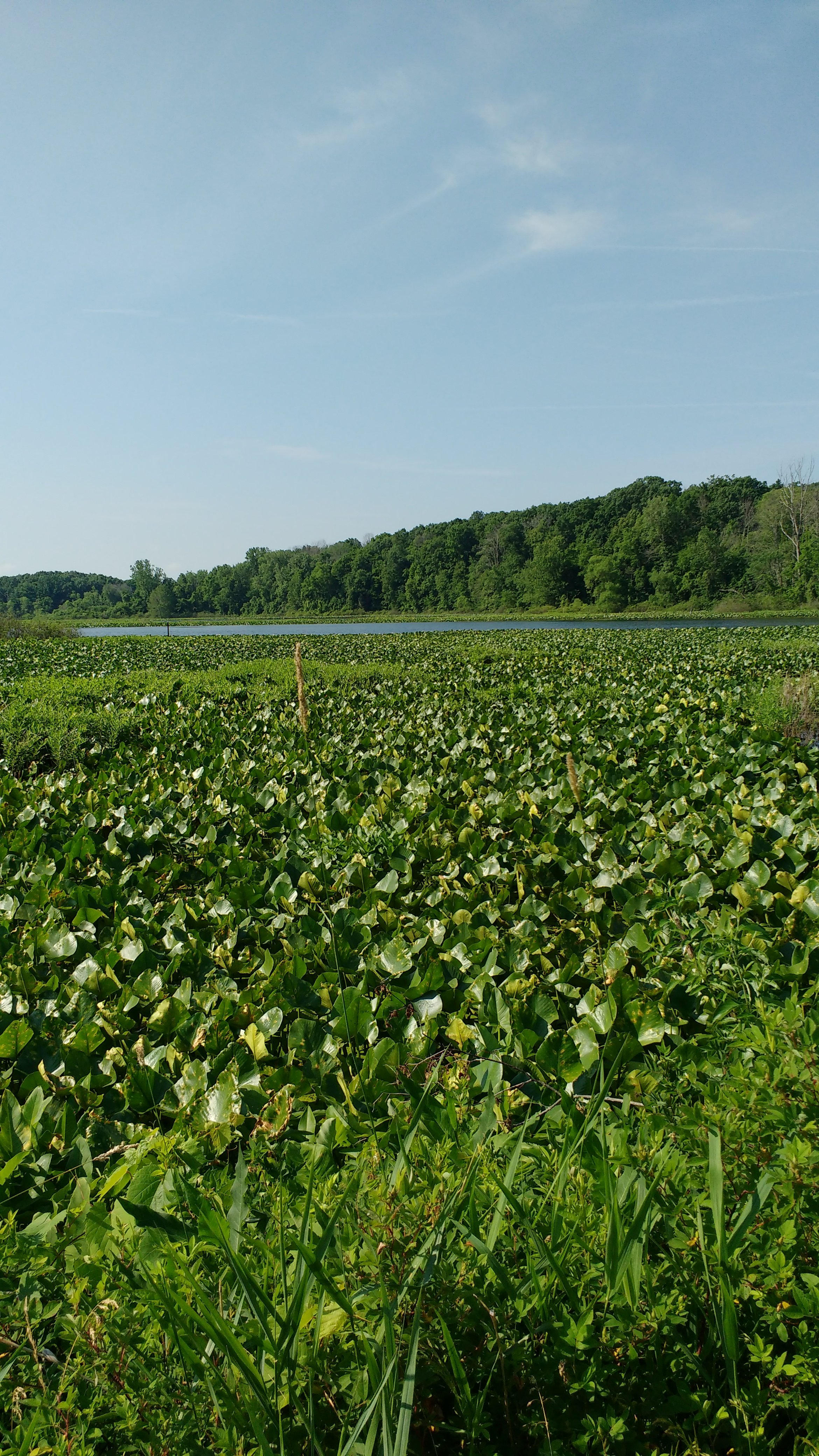
Kesling Wetland
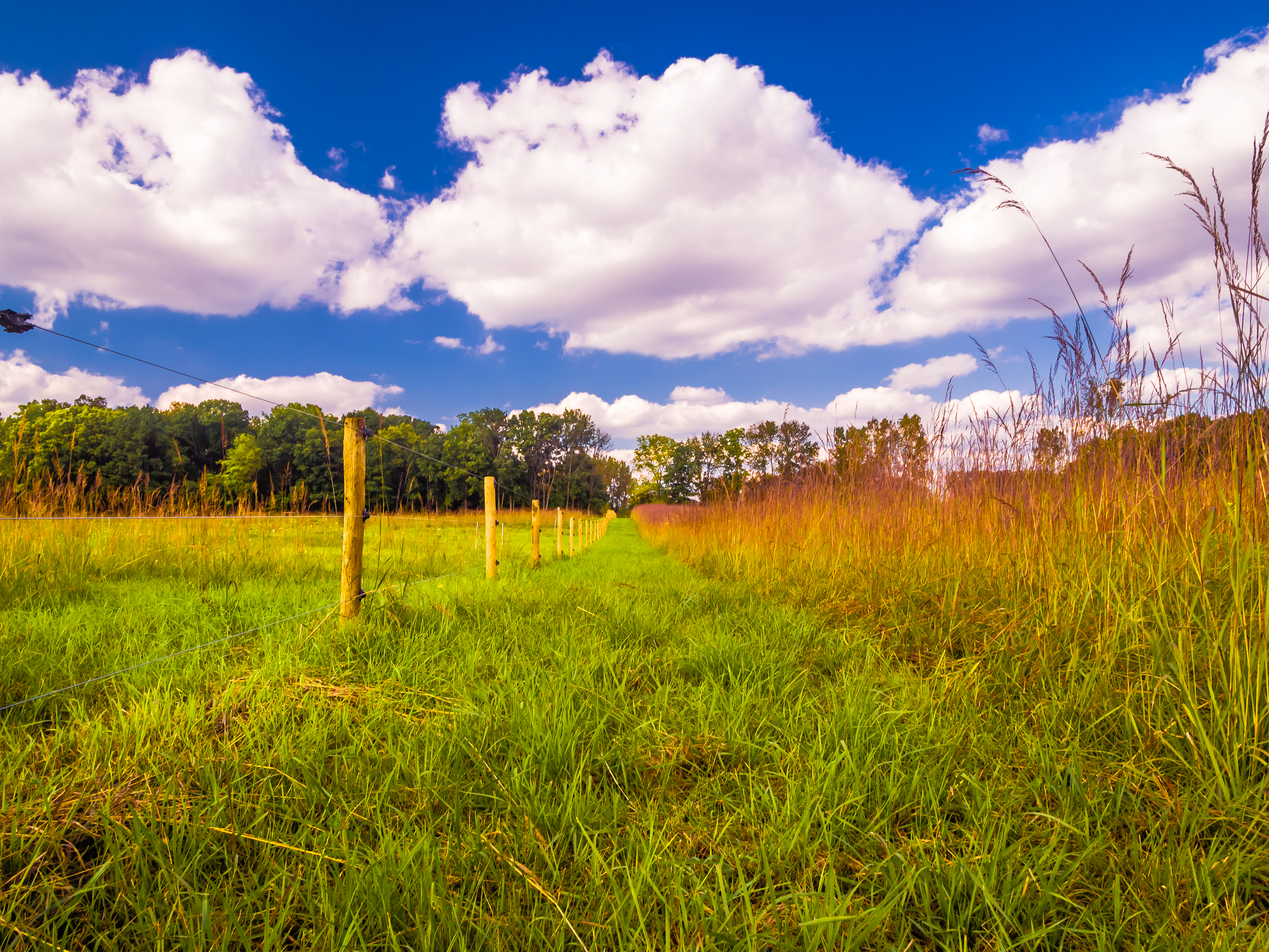
Prairie Grass
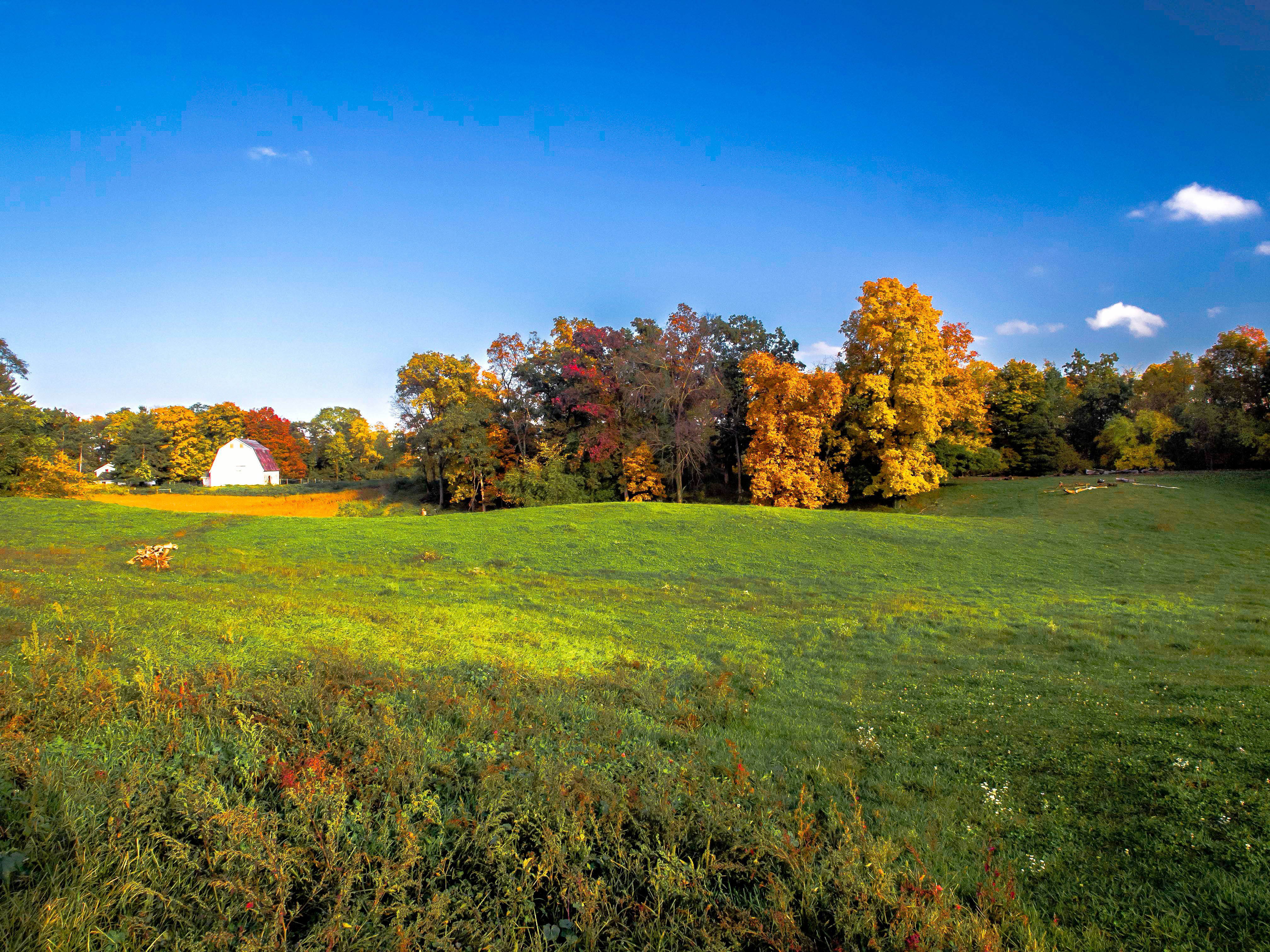
Fall Evening at the Farm
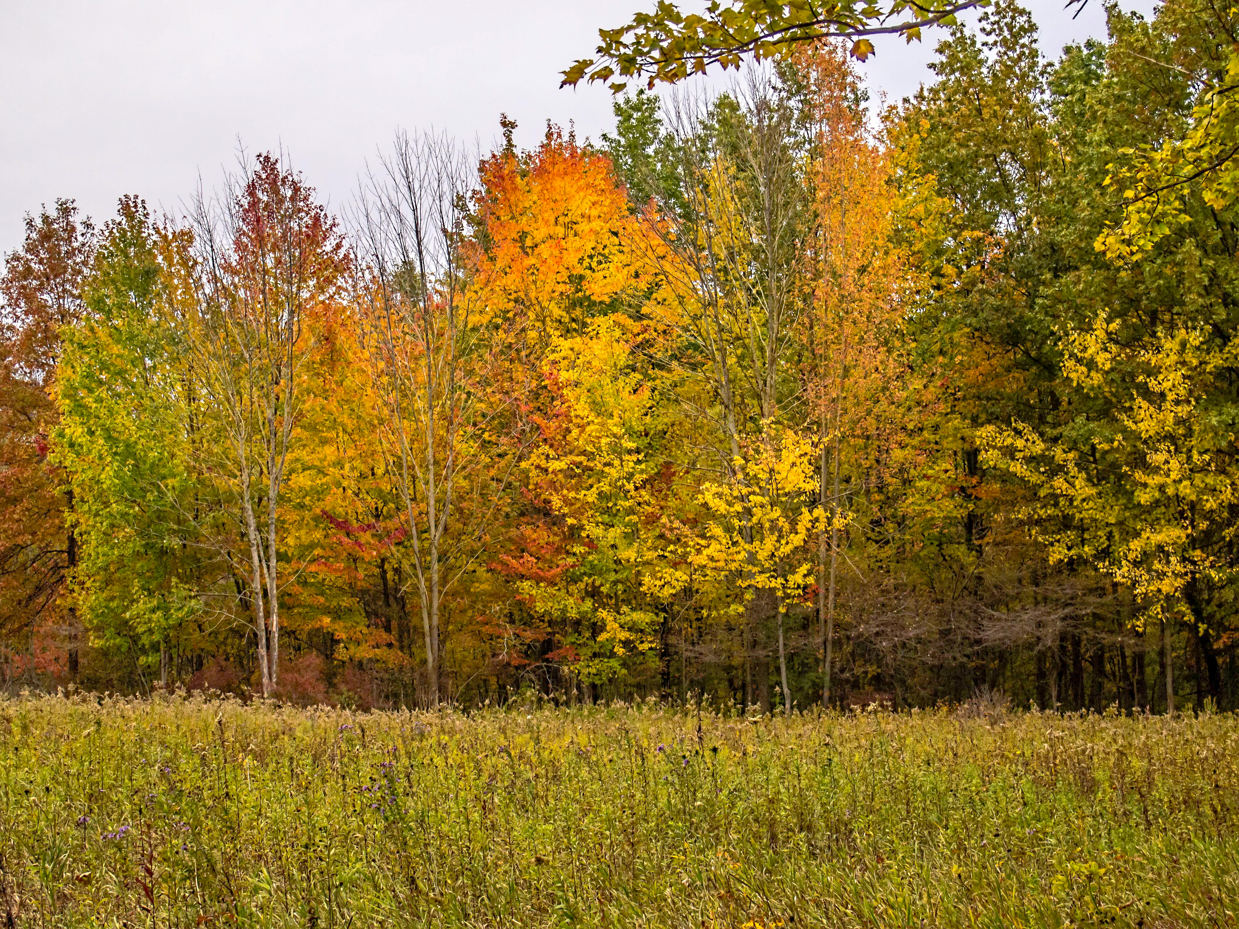
Leaves by the Hundreds Came

Wyland Lake
Allen Lake

Merry Lea Farmstead

Gold and Blue

Sky, Sun and Field
Mary's Meadow and Forest
Autumn Harvest
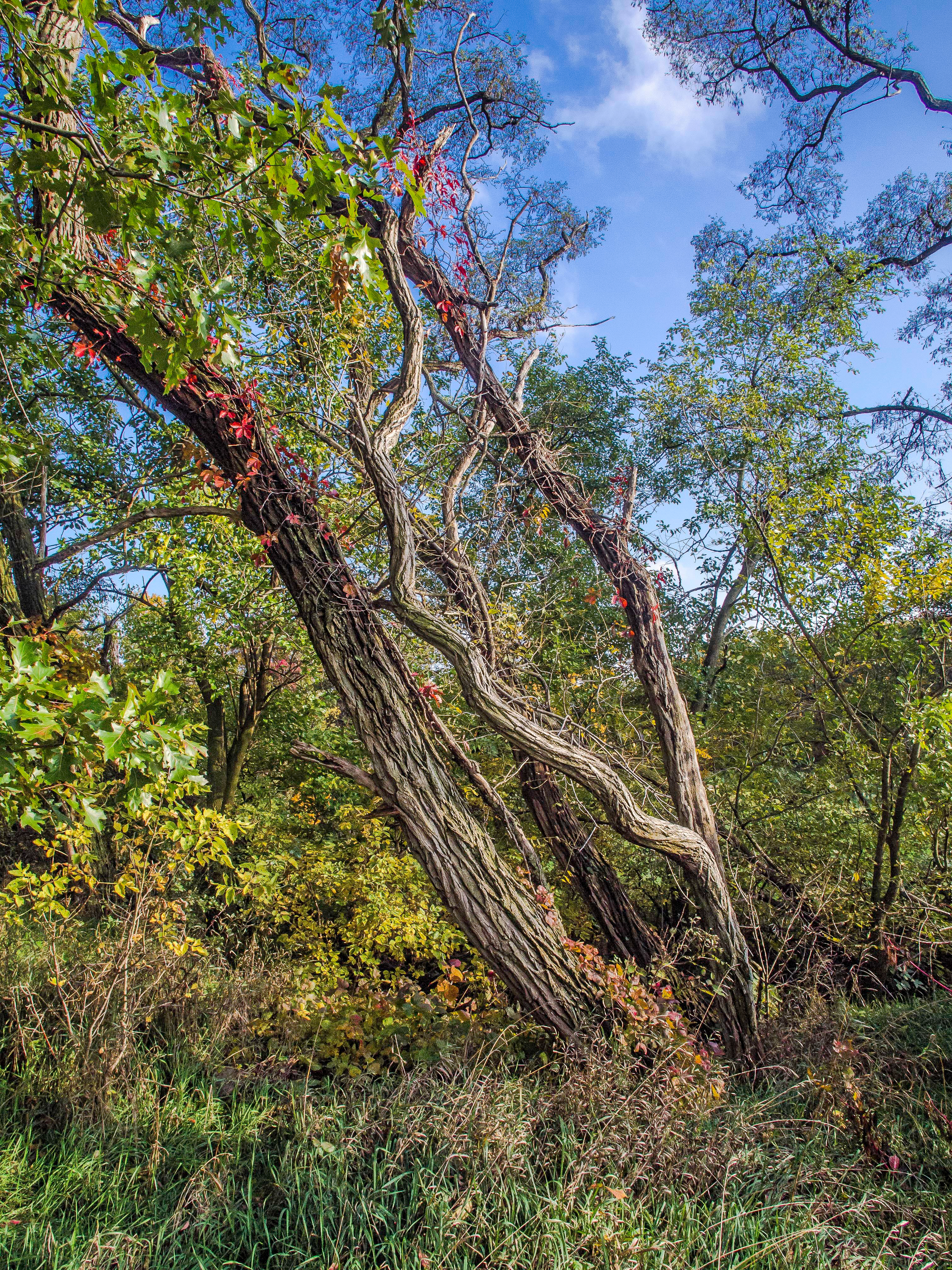
Rugged Against the Wind

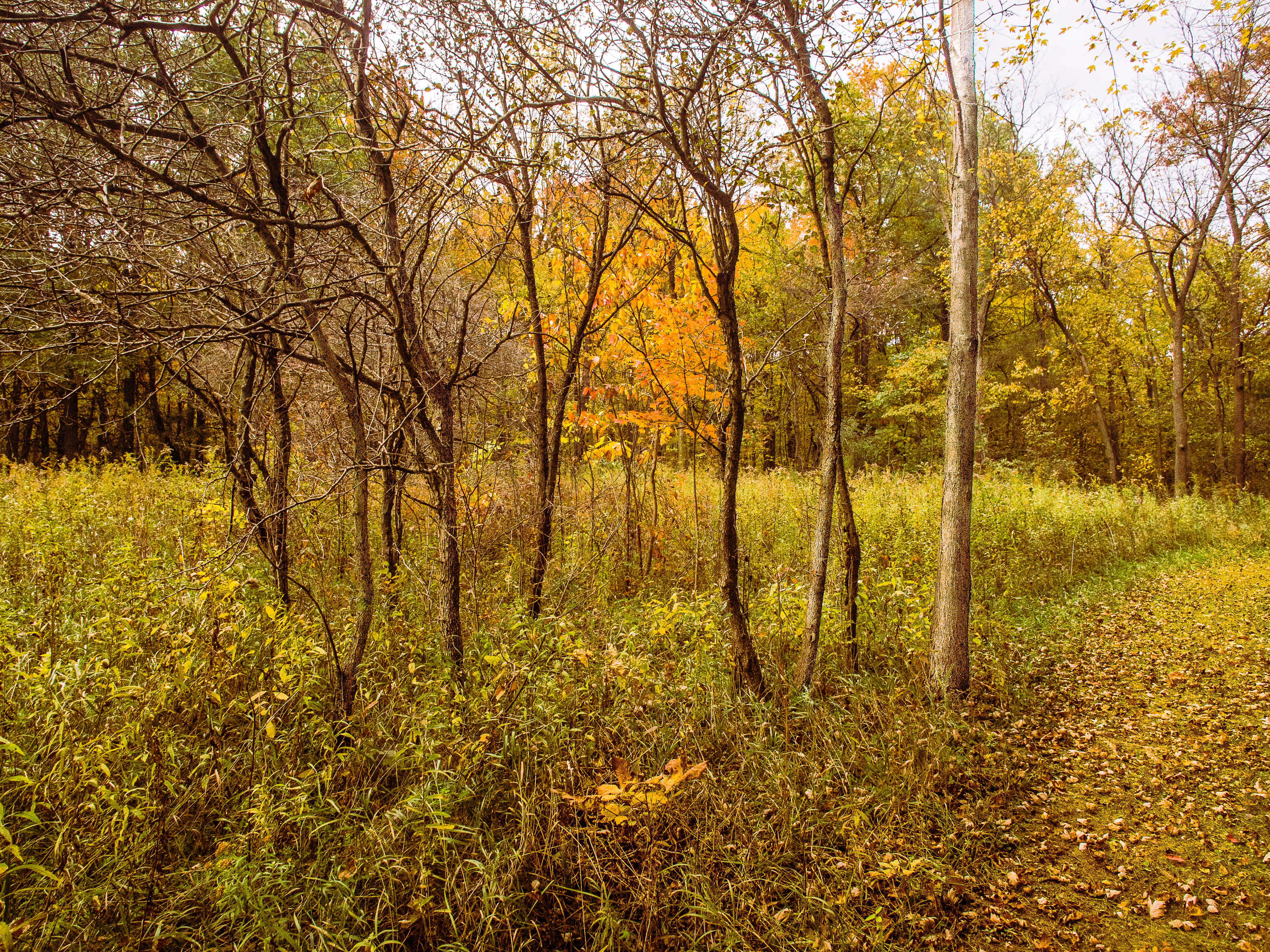
Forest Path

Up the Hilltop

Sky Saw

In the Sun
Topographic Map of S State Rd 5-57, Cromwell, IN, USA
Find elevation by address:

Places near S State Rd 5-57, Cromwell, IN, USA:
12 EMS W29B Ln, North Webster, IN, USA
5284 N 850 E
1047 S Bause Lk Dr E
1079 S Bause Lk Dr E
E Asbury Ln, North Webster, IN, USA
Washington Township
North Webster
E Hatchery Rd, Syracuse, IN, USA
Lincoln Rd, Syracuse, IN, USA
Sparta Township
S Jefferson St, Cromwell, IN, USA
Cromwell
Turkey Creek Township
Union Products International
E Black Point Rd, Syracuse, IN, USA
7 EMS T47A Ln, Leesburg, IN, USA
3922 In-5
10942 N Southshore Dr
36 Ems T15 Ln
N E, Syracuse, IN, USA
Recent Searches:
- Elevation of Corso Fratelli Cairoli, 35, Macerata MC, Italy
- Elevation of Tallevast Rd, Sarasota, FL, USA
- Elevation of 4th St E, Sonoma, CA, USA
- Elevation of Black Hollow Rd, Pennsdale, PA, USA
- Elevation of Oakland Ave, Williamsport, PA, USA
- Elevation of Pedrógão Grande, Portugal
- Elevation of Klee Dr, Martinsburg, WV, USA
- Elevation of Via Roma, Pieranica CR, Italy
- Elevation of Tavkvetili Mountain, Georgia
- Elevation of Hartfords Bluff Cir, Mt Pleasant, SC, USA