Elevation of IN-5, Cromwell, IN, USA

Location: United States > Indiana > Noble County > Sparta Township > Cromwell >

Longitude: -85.606241

Latitude: 41.4102447

Elevation: -10000m / -32808feet

Barometric Pressure: 295KPa

Elevation Map:

elevation map of IN-5, Cromwell, IN, USA

Satellite Map:

Satellite map of IN-5, Cromwell, IN, USA

Related Photos:

County Road 50 Disaster
usa nature ecology landscape geotagged outdoors landscapes spring seasons scenic indiana olympus scene environment marsh habitat marshland wetland biodiversity in noblecounty primelens davidcornwell merryleacenterofgoshencollege olympuspenepl2 olympusmzuiko12mmf20 keslingwetland
Spring Repose
usa nature ecology field barn rural landscape geotagged outdoors landscapes spring seasons farm country meadows indiana olympus scene environment biodiversity wolflake noblecounty primelens davidcornwell merryleacenterofgoshencollege olympuspenepl2 olympusmzuiko12mmf20 shewmeadows
Indiana Farm at 5:38 pm
BNSF 8105 on NS - 11/8/2017
summer music usa festival shopping geotagged outdoors unitedstates crowd streetphotography indiana business event entertainment sales ligonier shoppers concession noblecounty davidcornwell olympuspenepl2 olympusmzuiko12mmf20 marshmallowfestival2014
Discussing the Big Buy
auto usa car vintage geotagged automobile engine indiana olympus dodge zuiko ligonier automobiles carshow 43 evolt zd noblecounty fourthirds esystem davidcornwell 1929dodge olympuse510camera 18thannualmarshmallowfestival 355turboautogenieshifter 355engine
1929 Dodge, front view
interestingness fireworks fisheye reflected 5d 4thofjuly websterlake fireworksdisplay fensterbme lakewebster primelens lowlightphotography interestingness104 i500 canonfisheye canon15mmf28 canon15mmf28fisheye northwebsterindiana fenstermacherphotography curvilinearlens explore18jul08
Lakeside View
fireworks reflected 5d 4thofjuly 2470mm websterlake fireworksdisplay fensterbme lakewebster lowlightphotography canon2470mm canonllens canon2470mmf28l northwebsterindiana fenstermacherphotography
Double Shot
topeka hometown childhood indiana
Topeka, Indiana, train depot
View from the Deck
Pier 68 View
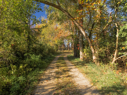
autumn trees usa nature ecology forest landscape geotagged outdoors woods education map meadow environmental indiana olympus location environment protected biodiversity mapped noblecounty marysmeadow davidcornwell merryleacenterofgoshencollege olympuspenepl2
Forest Path
davidcornwell indiana merryleacenterofgoshencollege noblecounty olympus olympusmzuiko12mmf20 olympuspenepl2 usa biodiversity clouds ecology environment flowers foilage geotagged grass habitat landscape location map mapped meadow nature outdoors prairiegrass preservation primelens restoration wetland albion unitedstates
Golden Pathway
autumn usa fall nature ecology landscape geotagged outdoors map indiana olympus location environment biodiversity mapped noblecounty davidcornwell merryleacenterofgoshencollege
Autumn at Kesling Wetland
flowers usa nature ecology grass clouds landscape geotagged outdoors unitedstates map meadow indiana olympus location environment restoration dslr habitat foilage albion preservation wetland biodiversity mapped prairiegrass noblecounty primelens davidcornwell merryleacenterofgoshencollege olympuspenepl2 olympusmzuiko12mmf20
The Other Side
flowers usa nature ecology clouds landscape geotagged outdoors unitedstates map meadow indiana location environment dslr habitat foilage albion wetland biodiversity mapped noblecounty primelens davidcornwell merryleacenterofgoshencollege olympuspenepl2 olympusmzuiko12mmf20 keslingwetland
Kesling Wetland
usa nature ecology landscape geotagged indiana environment biodiversity noblecounty merryleacenterofgoshencollege davidcornwellphotographer olympuspenepl2 olympusmzuiko12mmf20 southkeslingmeadows
Fenced Meadow
autumn usa fall nature ecology landscape geotagged outdoors map path indiana olympus location trail environment restoration prairie biodiversity mapped wolflake noblecounty primelens trailk davidcornwell merryleacenterofgoshencollege olympuszd50mmf20 olympuspenepl2 olympusmzuiko12mmf20 bearlakeprairie
Bear Lake Prairie on Trail K
autumn usa fall nature ecology leaves forest landscape geotagged outdoors woods seasons map meadow indiana olympus location environment restoration biodiversity mapped noblecounty marysmeadow davidcornwell merryleacenterofgoshencollege olympuspenepl2 olympusmzuiko12mmf20
Leaves by the Hundreds Came
usa nature ecology clouds landscape geotagged outdoors unitedstates map indiana olympus location environment dslr habitat foilage albion wetland biodiversity mapped noblecounty primelens davidcornwell merryleacenterofgoshencollege olympuspenepl2 olympusmzuiko12mmf20 keslingwetland
Back to Kesling
autumn usa fall nature ecology landscape geotagged outdoors map path meadow indiana olympus location trail environment restoration biodiversity mapped noblecounty davidcornwell merryleacenterofgoshencollege olympuspenepl2 luckeyslane
Luckey's Lane of Merry Lea Center
flowers usa nature ecology clouds landscape geotagged outdoors unitedstates map meadow indiana olympus location environment dslr habitat foilage albion wetland biodiversity mapped prairiegrass noblecounty primelens davidcornwell merryleacenterofgoshencollege olympuszd50mmf20 olympuspenepl2 olympusmzuiko12mmf20
Prairie Grass
sky food usa sun field weather clouds rural landscape geotagged corn cornfield scenery farm agrarian harvest indiana olympus vegetable explore soil crop agriculture cob cultivation forage biomass cornplant noblecounty primelens davidcornwell feedcrop olympuspenepl2 indianapublicmedia olympusmzuiko12mmf20
Sky, Sun and Field
sun nature water ecology fog night landscape geotagged walk conservation indiana marsh geotag preservation wetland protected noblecounty davidcornwell sonydscw300 regionwide whirledgenatureconversationcenter
Fog and Sun
blue sunset sky usa cloud lake reflection nature water ecology clouds reflections geotagged outdoors evening landscapes seasons cloudy dusk horizon indiana places olympus shore environment recreation relaxation bodiesofwater diamondlake noblecounty primelens davidcornwell olympuspenepl2 olympusmzuiko12mmf20
Diamond Lake 2012 No 1
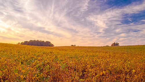
family autumn usa fall nature field rural landscape geotagged landscapes countryside beans seasons map farm farming indiana olympus location genealogy crops agriculture soybeans mapped cornwell noblecounty primelens davidcornwell olympuspenepl2 olympusmzuiko12mmf20
Gold and Blue
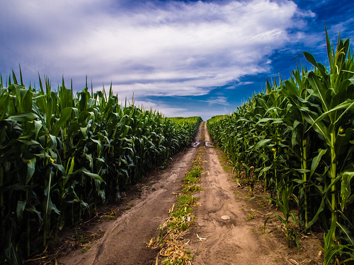
usa field clouds rural landscape geotagged outdoors corn map farm farming indiana olympus location crop crops agriculture mapped noblecounty primelens davidcornwell olympuspenepl2 olympusmzuiko12mmf20
Favored by the Sun
autumn usa fall nature ecology leaves landscape geotagged outdoors woods map path indiana olympus location trail environment biodiversity mapped noblecounty southtrail primelens davidcornwell merryleacenterofgoshencollege olympuspenepl2 olympusmzuiko12mmf20
Light, Shadow, Color in the Woods
autumn usa fall nature ecology landscape geotagged outdoors unitedstates map mint indiana olympus location onions environment restoration albion wetland biodiversity mapped wolflake noblecounty primelens davidcornwell merryleacenterofgoshencollege olympuspenepl2 olympusmzuiko12mmf20 merryleamerryleaenvironmentalcenterofgoshencollege onionbottomswetland
Onion Bottoms Wetland
sky usa sun field weather rural landscape geotagged corn scenery day cloudy farm harvest indiana olympus soil crop agriculture noblecounty primelens davidcornwell indianapublicmedia olympusmzuiko12mmf20
Up the Hilltop
autumn usa fall nature ecology landscape geotagged outdoors seasons natural conservation indiana olympus environment zuiko preservation wetland biodiversity evolt wolflake zd noblecounty fourthirds goshencollege esystem protectedarea davidcornwell zuikodigital50mm olympuse510camera merryleacenter merryleacenterofgoshencollege 100mmequiv fwfg uefirsteditions
Reflecting...