Elevation of S Simon St, Visalia, CA, USA

Location: United States > California > Tulare County > Visalia >

Longitude: -119.25389

Latitude: 36.3277334

Elevation: 106m / 348feet

Barometric Pressure: 100KPa

Elevation Map:

elevation map of S Simon St, Visalia, CA, USA

Satellite Map:

Satellite map of S Simon St, Visalia, CA, USA

Related Photos:

246milestoday visaliatoyosmiteelportal visalia yosmite elportal dayfour 4thoct biketrip amazing bike harley 1140miles mike jill oct2018 yosemite sequoia nationalparks bikehire harleydavidson 1140mileswholetrip
Visalia to Yosemite & El Portal - Day Four.
visaliatoyosmiteelportal visalia yosmite elportal dayfour 4thoct biketrip amazing bike harley mike jill oct2018 yosemite sequoia nationalparks bikehire harleydavidson 246milestoday 1140mileswholetrip
Day four Visalia to Yosemite & El Portal
weather drive views freeway policecar vehicle dodge parked southerncalifornia charger sights centralvalley farmersville sightsee
does farmersville really need this??
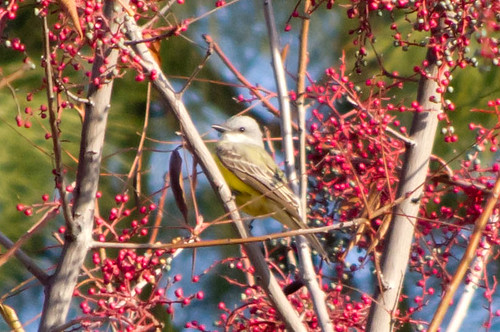
bird couchskingbird tularecounty
Couch's Kingbird
california trip shadow green leaves vines san tour purple farming valley views grapes edible sanjoaquin excursion centralvalley ripe productive sightsee joquin
juicy wine grapes
california trip shadow green leaves vines san tour purple farming corridor joaquin valley views grapes farms edible sanjoaquin excursion centralvalley ripe ranching ves sightsee seqouianatlpk
hanging tough
california arizona airplane flying airport nikon force aviation air wing b17 journey boeing fortress vis flyingfortress caf municipal visalia commemorative sentimental sentimentaljourney d90 commemorativeairforce arizonawing kvis visaliamunicipalairport
boeing b-17g flying fortress
california arizona airplane flying airport nikon force aviation air wing sigma b17 journey boeing fortress vis flyingfortress caf municipal visalia commemorative sentimental sentimentaljourney d90 commemorativeairforce arizonawing 150500mm kvis visaliamunicipalairport
boeing b-17g flying fortress
lightning visalia california weather nikond750
Lightning strike viewed from my front porch in Visalia, California.
visalia earons eastarearapist visaliaransacker
Side view of 1501 West Kaweah Avenue
california sun venus sunspots transitofvenus may2012
Transit of Venus Take 1
canon20d photographers familyreunion canonef1740lusm herbdunn dunnrightphotography kerncountyphotographers
Mini Family Reunion Cat Nap
california trip mountains tour east valley views farms roadsigns asphalt stoplights woodlake sanjoaquin excursion centralvalley paved sightsee dividedroad highway198
woodlake sounds interesting
couchskingbird
Couch's Kingbird
visalia california foxtheatre nikond750
Balcony view of the Fox Theatre in Visalia
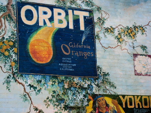
bird cat painting vines mural paint downtown branches exeter muralwalk exeterafestivalofarts august182007
2007081818.jpg
california city trip hospital construction tour wing valley views sanjoaquin excursion visalia centralvalley sightsee kaweahdelta
kaweah delta construction
trees mountains sequoia
Beetle Rock view, Sequoia National Park.
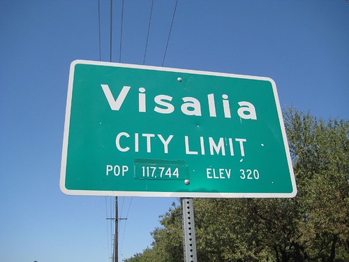
california trip trees green sign tour wires valley views sanjoaquin excursion visalia centralvalley citylimits sightsee
Visalia city limit
california trip shadow green leaves vines san tour purple farming corridor joaquin valley views grapes farms edible sanjoaquin excursion centralvalley ripe ranching ves sightsee seqouianatlpk
ripe and ready to be picked
california trip windows red truck fire tour firetruck valley views farms department sanjoaquin excursion centralvalley farmersville sightsee
farmersville FD
in Salem
visalia california nikon d750 kaweahoakspreserve
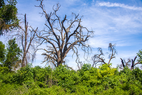
Kaweah Oaks Preserve in Tulare County east of Visalia, Ca.
sunrise sierranevada
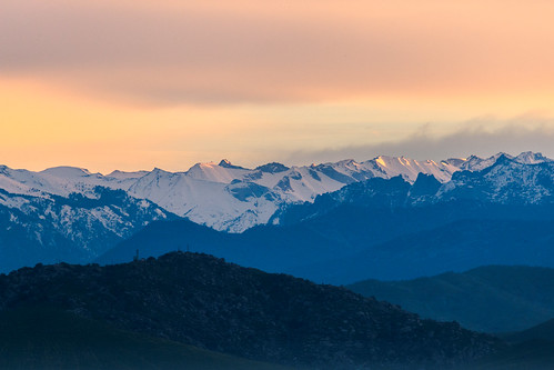
Sierra Nevada Morning
visalia california nikon d750 kaweahoakspreserve
Kaweah Oaks Preserve in Tulare County east of Visalia, Ca.
mountain sunrise hill sierranevada mountainridge
Distant Farm
mountain sunrise hill sierranevada mountainridge
Pink and Purple Sunrise
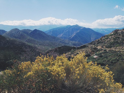
california county trees sky mountains nature clouds mine sequoianationalpark tulare uploaded:by=flickrmobile flickriosapp:filter=nofilter
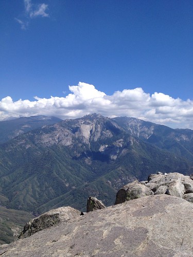
The View
california wildrosetrail kaweahoakspreserve
From Wildrose Trail at Kaweah Oaks Preserve
moon newmoon light blue sunset landscape city california scuthography
Moon over Tulare
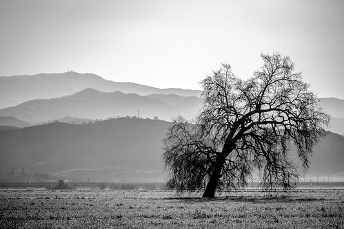
blackandwhite mountain monochrome field landscape oak hill dogwoodweek5
Old Oak
square day squareformat iphoneography instagramapp uploaded:by=instagram pwpartlycloudy
*День пятнадцатый. 4566 км. Пять часов по серпантину без навигатора, чтобы вернуться туда, откуда начали, но уже с пустым баком. А что, зато виды красивые
california flower tree 120 6x6 tlr nature field analog mediumformat landscape photography spring lomography farm orchard bloom flowering yashica centralvalley blooming yashicamat yashicamat124
Orchard In Bloom
dogwoodweek2
Rocky Hill Road
california color 120 6x6 tlr nature analog mediumformat landscape photography vines kodak farm farming grapes agriculture yashica centralvalley grapevines yashicamat yashicamat124 kodakportra
Young Vines
Downtown Visalia
california sycamoretrail kaweahoakspreserve
Plant off Sycamore Trail at Kaweah Oaks Preserve in Tulare County
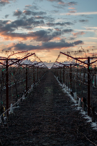
vineyard
Edge of the Vineyard
visalia california nikon d750 kaweahoakspreserve
Kaweah Oaks Preserve in Tulare County east of Visalia, Ca.
grass
Grassy plains