Elevation of S Shore Rd, Mesachie Lake, BC V0R 2N0, Canada
Location: Canada > British Columbia > Cowichan Valley > Lake Cowichan >
Longitude: -124.05935
Latitude: 48.8185066
Elevation: 179m / 587feet
Barometric Pressure: 99KPa
Elevation Map:
Satellite Map:
Related Photos:

Mossy Bridge

Looking Up

Ninja Duck approves of the view, while remaining near invisible
Ninja Duck approves of the view, while remaining near invisible

Cowichan Lake

Outside of Youbou

Exploring Youbou

Old-growth stump in a temperate rainforest

Youbou, Vancouver Island

Temperate rainforest stream

Trek to Youbou
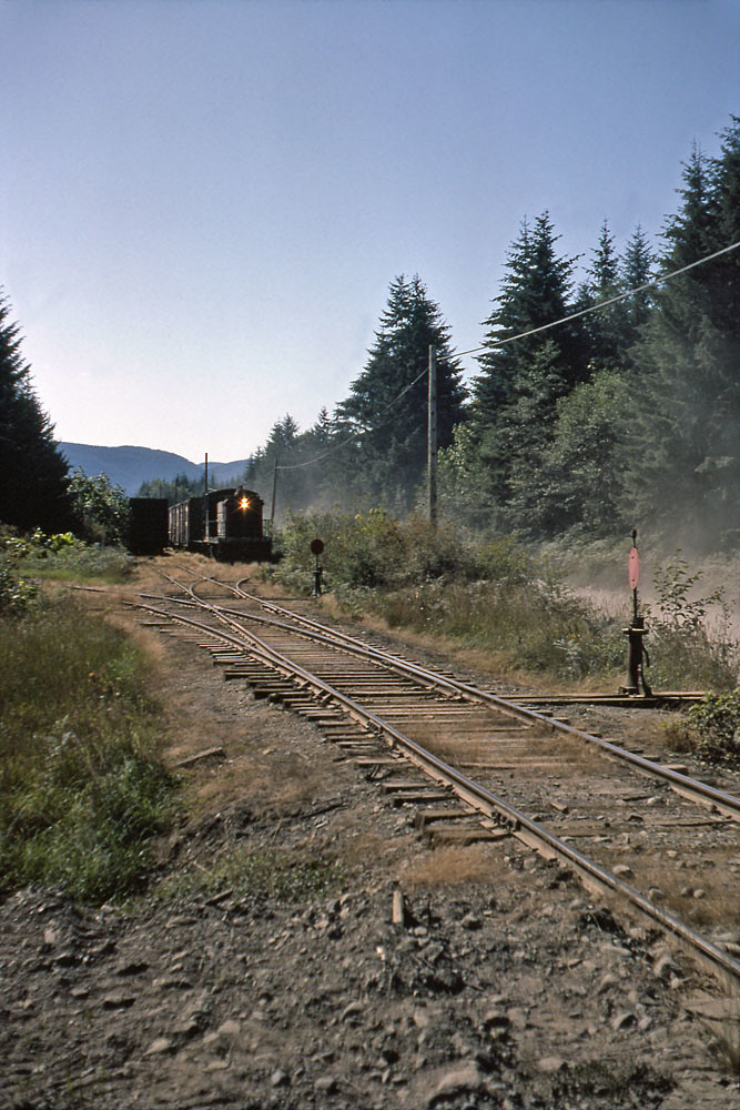
Switching Youbou

Gordon Bay, Honeymoon Bay, BC

Cowichan River Provincial Park

66 Mile Trestle

Cottonwood Creek

66 Mile Trestle

West Coast Rain Forest

Morning light

Cowichan River Oct 2018

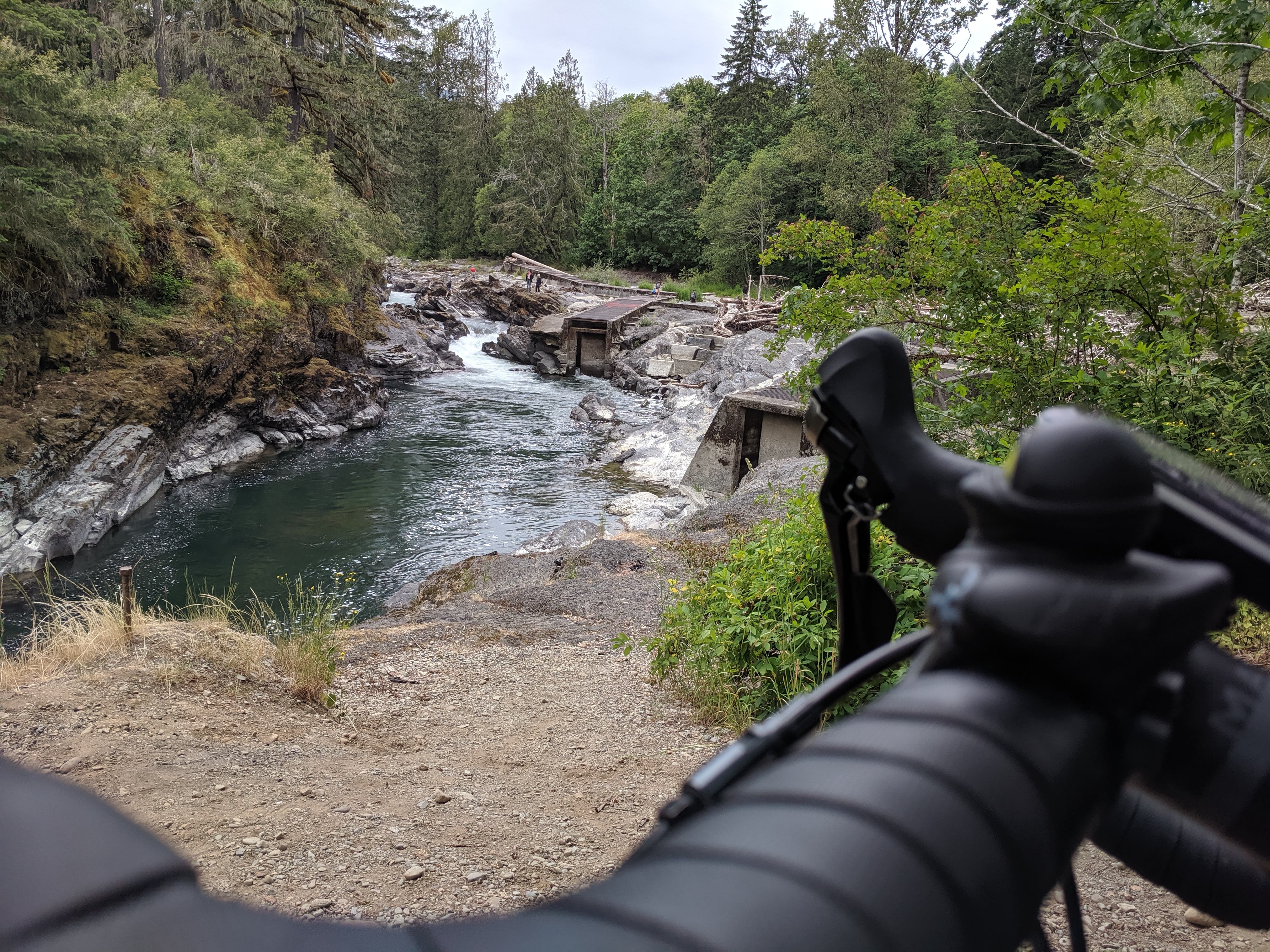
Skutz Falls at the fish ladder

Like Clockworks...

CATCHING THE LIGHT

Cowichan River Provincial Park
Topographic Map of S Shore Rd, Mesachie Lake, BC V0R 2N0, Canada
Find elevation by address:

Places near S Shore Rd, Mesachie Lake, BC V0R 2N0, Canada:
Lake Cowichan
Park Road
60 Sahtlam Ave
77 Somenos St
262 Kingfisher Pl
7440 Cowichan Lake Rd
Cowichan Valley
Cowichan River Provincial Park
4976 Cowichan Lake Rd
5002 Culverton Rd
4955 Cowichan Lake Rd
4470 Akira Rd
Cowichan Valley E
4388 Creighton Rd
4378 Akira Rd
4368 Barnjum Rd
5377 Lanchaster Rd
3885 Rowe Rd
6282 N Rd
Recent Searches:
- Elevation of Corso Fratelli Cairoli, 35, Macerata MC, Italy
- Elevation of Tallevast Rd, Sarasota, FL, USA
- Elevation of 4th St E, Sonoma, CA, USA
- Elevation of Black Hollow Rd, Pennsdale, PA, USA
- Elevation of Oakland Ave, Williamsport, PA, USA
- Elevation of Pedrógão Grande, Portugal
- Elevation of Klee Dr, Martinsburg, WV, USA
- Elevation of Via Roma, Pieranica CR, Italy
- Elevation of Tavkvetili Mountain, Georgia
- Elevation of Hartfords Bluff Cir, Mt Pleasant, SC, USA