Elevation map of Cowichan Valley, BC, Canada
Location: Canada > British Columbia >
Longitude: -124.03099
Latitude: 48.7569005
Elevation: 793m / 2602feet
Barometric Pressure: 92KPa
Elevation Map:
Satellite Map:
Related Photos:
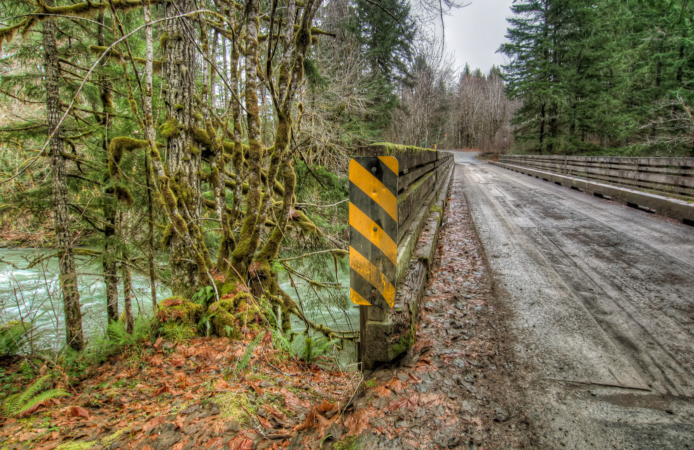
Mossy Bridge
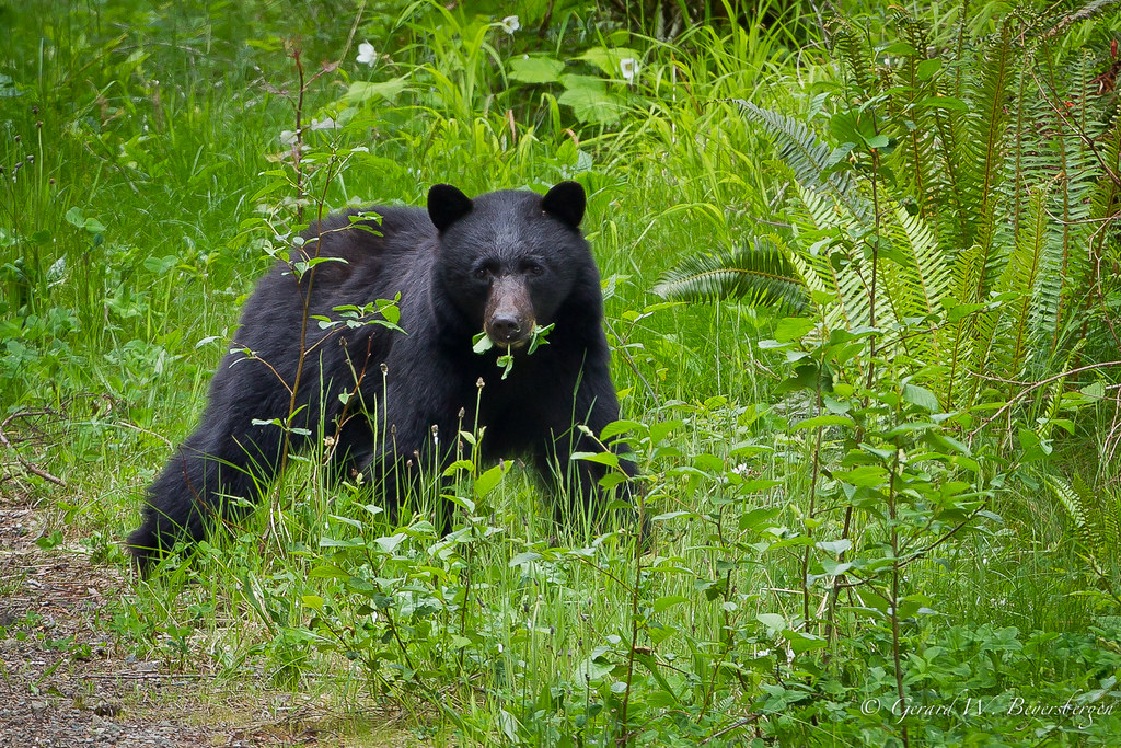
American Black Bear
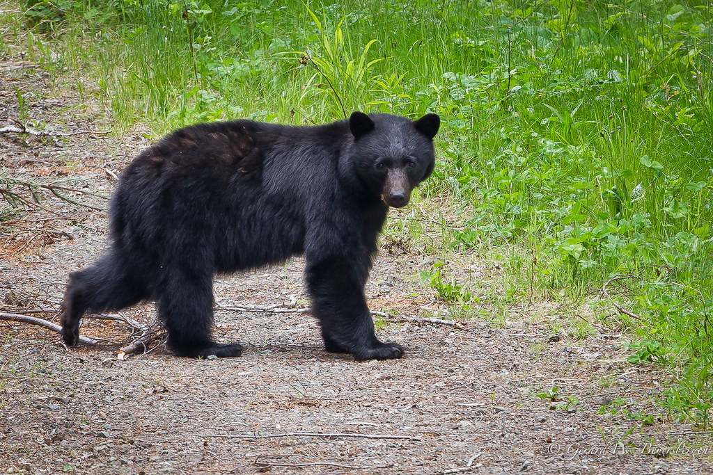
American Black Bear

Top view Mini Pink Flower

Looking Up

Broad-leaved starflower, Trientalis borealis

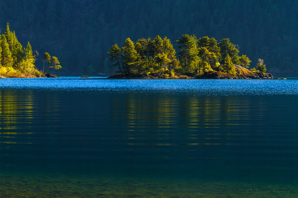
Backlight at Honeymoon Bay
CATCHING THE LIGHT

Cowichan River Provincial Park
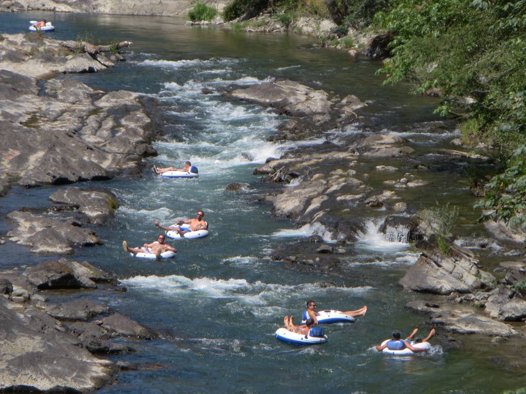
Cowichan River Tubing
Riprap Burm CNR railway xing CPR

Old-growth stump in a temperate rainforest

Burnt Out [16:9]

evening light 2

Moss-covered rocks
Cowichan-13
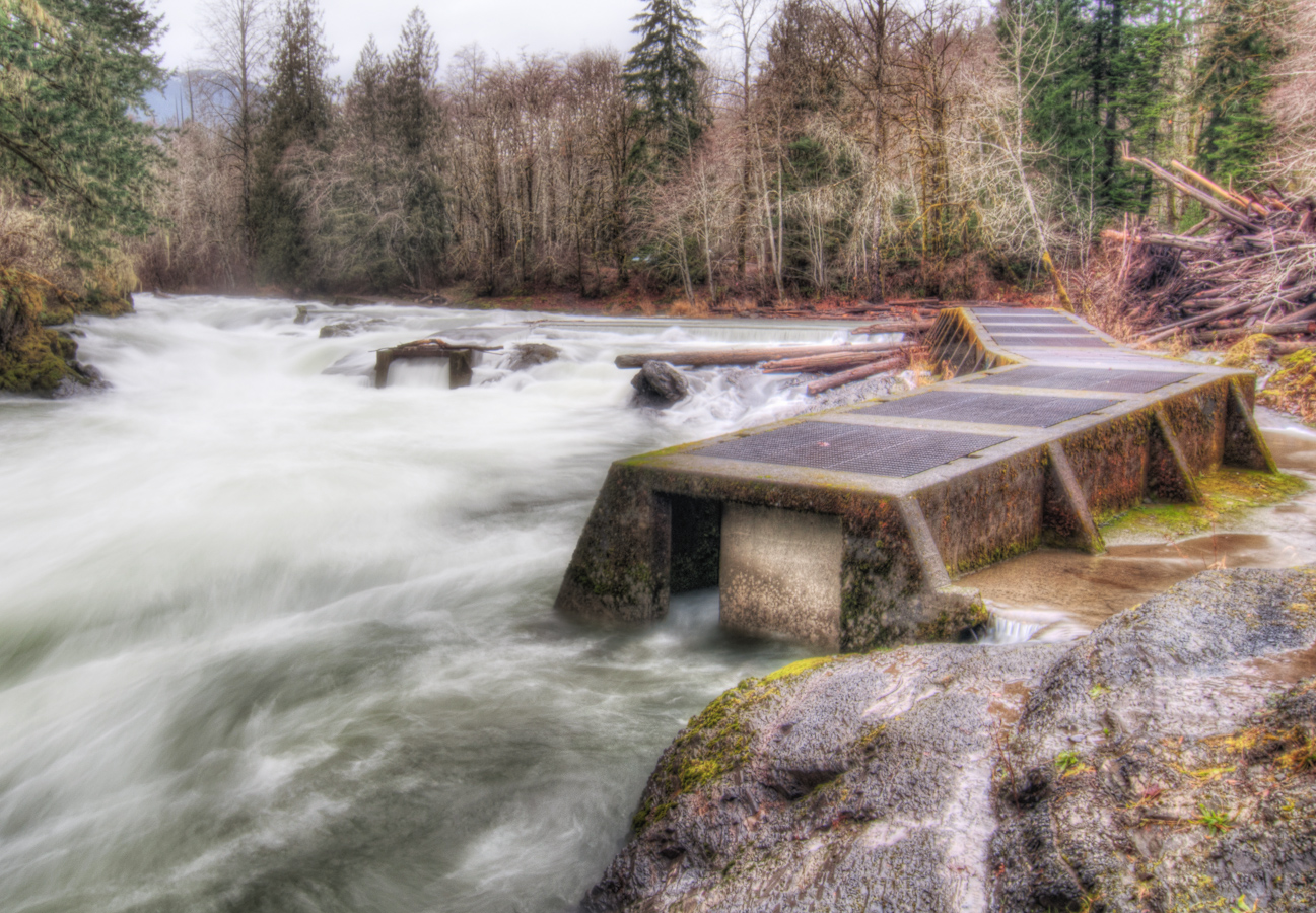
Fish Ladders
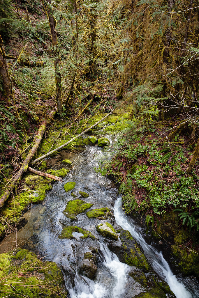
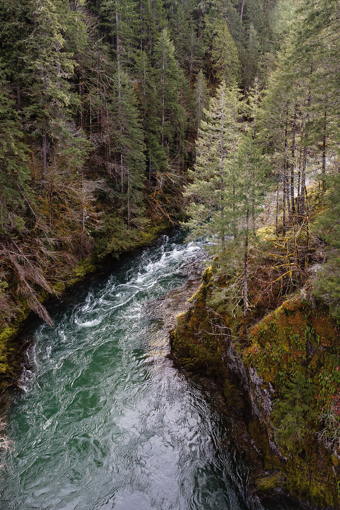
Temperate rainforest stream
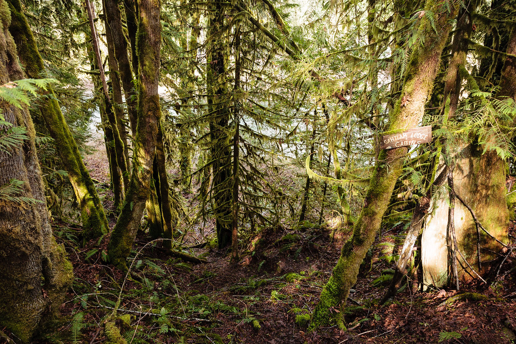
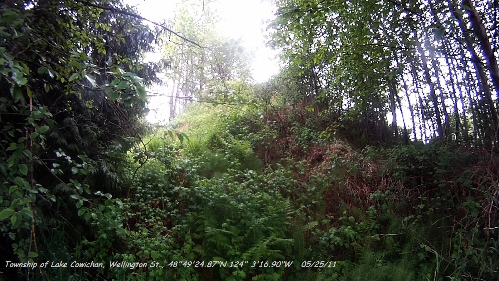
Sahtlam Lodge Rainforest Sign

IMG_1345.JPG
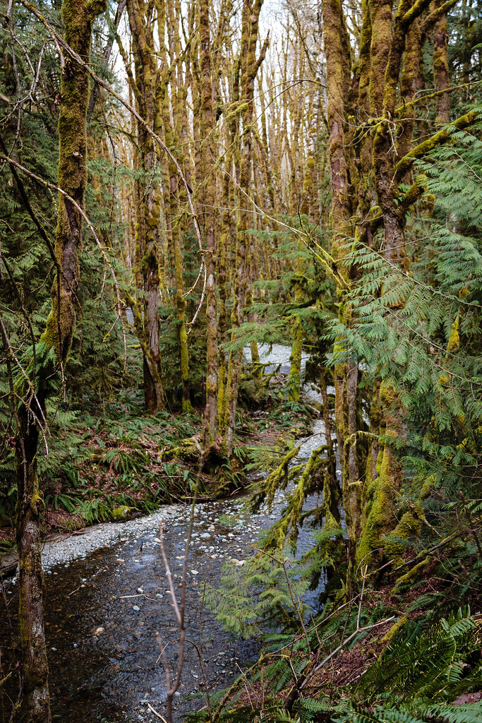
Temperate rainforest stream
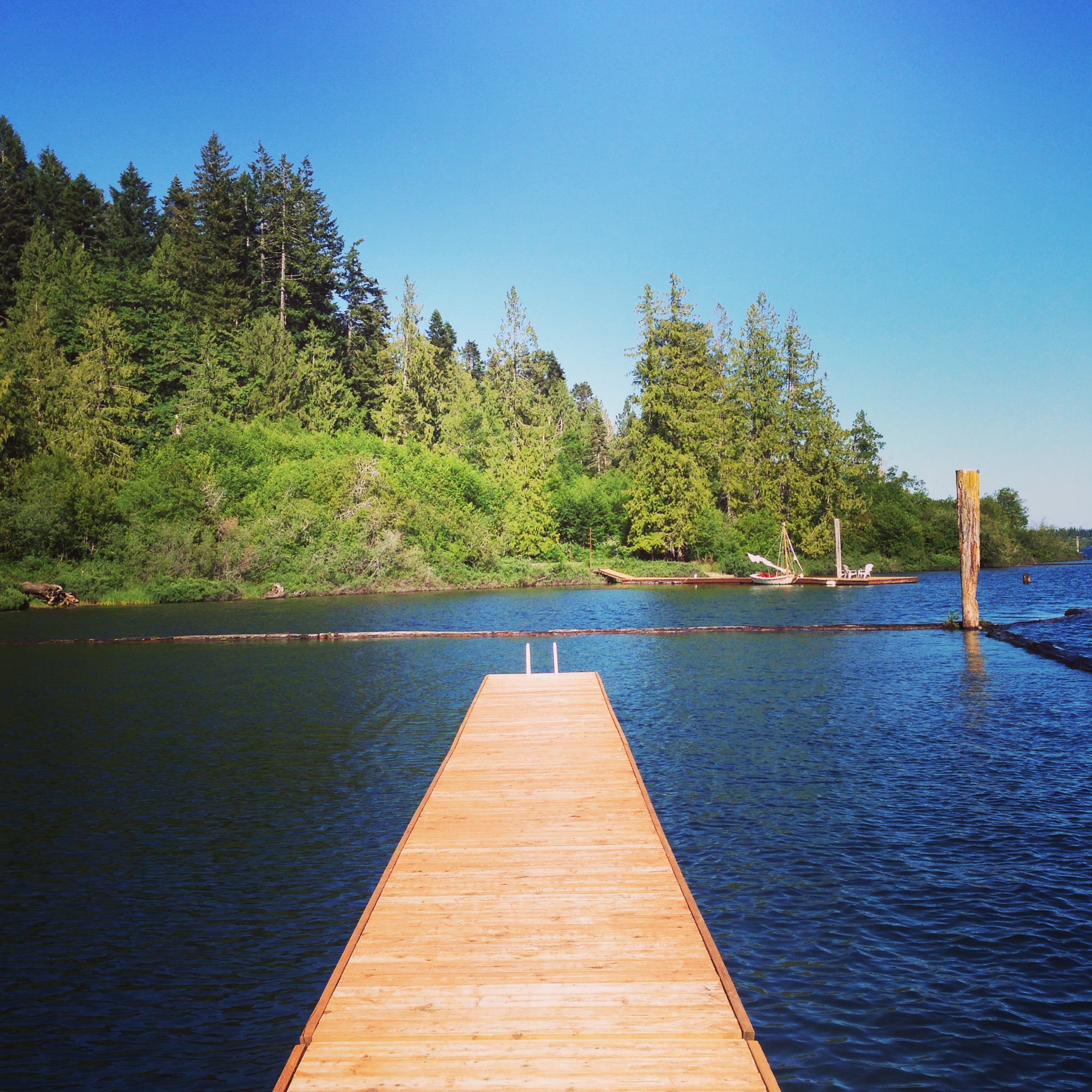
Boardwalk at Lake Cowichan

Arriving at Imadene
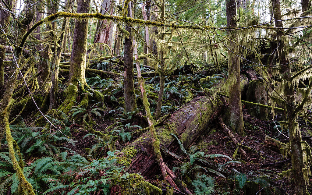
Temperate Rainforest
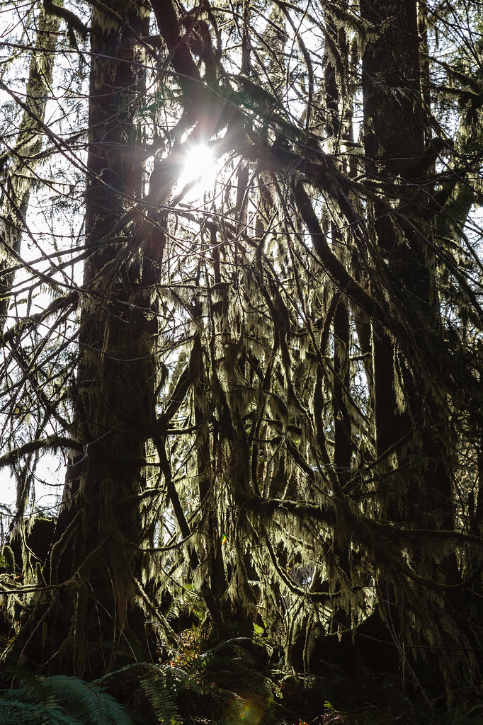
Sunlight Through Rainforest Tree Moss

evening light 1
Temperate Rainforest
Topographic Map of Cowichan Valley, BC, Canada
Find elevation by address:

Places in Cowichan Valley, BC, Canada:
North Cowichan
Duncan
Mill Bay
Cowichan Valley B
Cowichan Valley D
Cowichan Valley C
Cowichan Valley G
Cowichan Valley A
Cowichan Valley F
Lake Cowichan
Cowichan Valley E
Sahilton Road
Cowichan Valley I
Places near Cowichan Valley, BC, Canada:
266 S Shore Rd
60 Sahtlam Ave
262 Kingfisher Pl
77 Somenos St
Lake Cowichan
7440 Cowichan Lake Rd
Park Road
Cowichan River Provincial Park
5002 Culverton Rd
4976 Cowichan Lake Rd
4955 Cowichan Lake Rd
Cowichan Valley E
4470 Akira Rd
4378 Akira Rd
4388 Creighton Rd
4368 Barnjum Rd
5377 Lanchaster Rd
3885 Rowe Rd
6282 N Rd
Recent Searches:
- Elevation of Corso Fratelli Cairoli, 35, Macerata MC, Italy
- Elevation of Tallevast Rd, Sarasota, FL, USA
- Elevation of 4th St E, Sonoma, CA, USA
- Elevation of Black Hollow Rd, Pennsdale, PA, USA
- Elevation of Oakland Ave, Williamsport, PA, USA
- Elevation of Pedrógão Grande, Portugal
- Elevation of Klee Dr, Martinsburg, WV, USA
- Elevation of Via Roma, Pieranica CR, Italy
- Elevation of Tavkvetili Mountain, Georgia
- Elevation of Hartfords Bluff Cir, Mt Pleasant, SC, USA