Elevation of S Railroad St, Cherry Valley, AR, USA
Location: United States > Arkansas > Cross County > Mitchell Township > Cherry Valley >
Longitude: -90.753531
Latitude: 35.401439
Elevation: 82m / 269feet
Barometric Pressure: 100KPa
Elevation Map:
Satellite Map:
Related Photos:

UP Steam Train PDXMN2-20
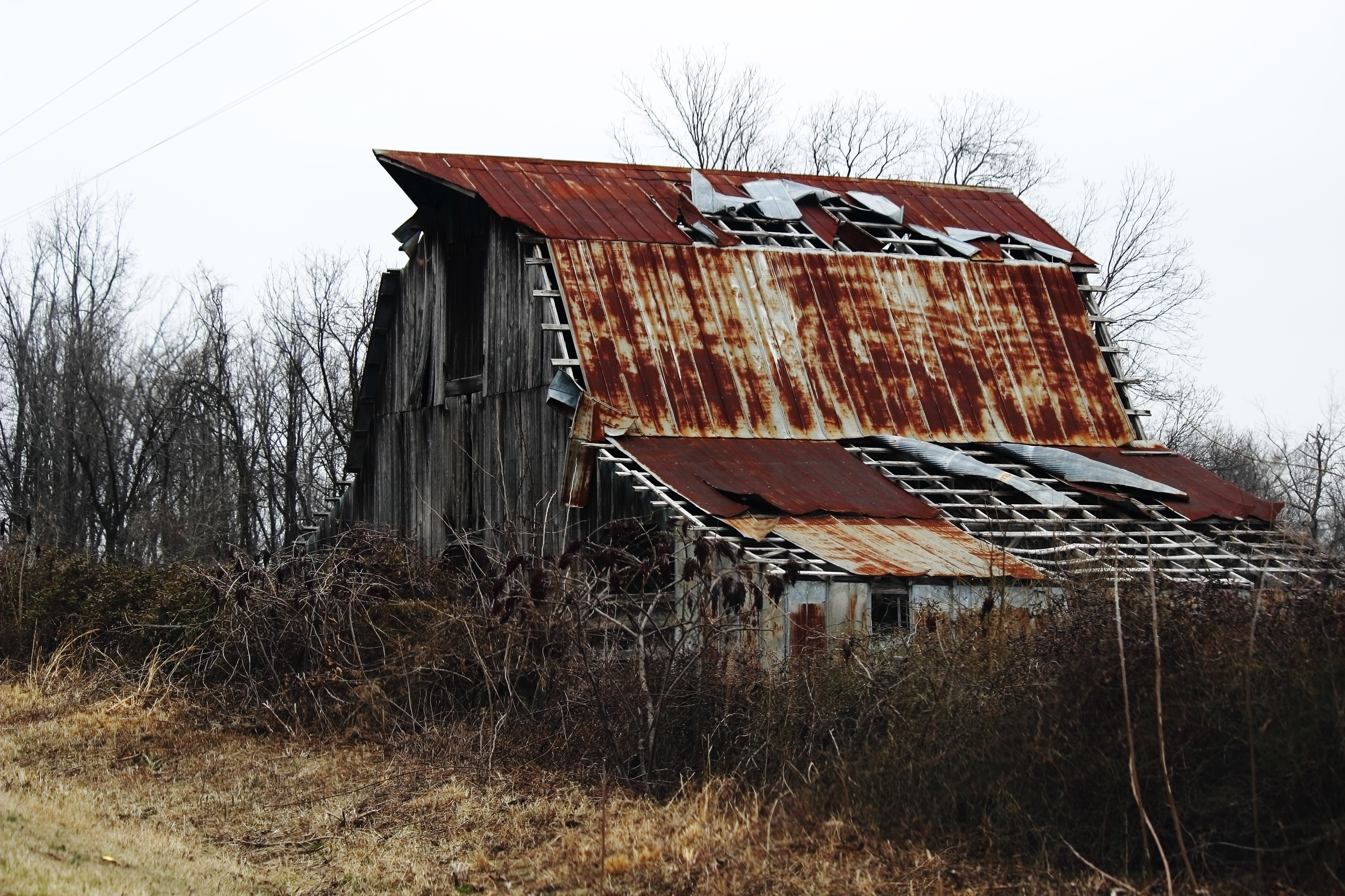
Weathered Barn
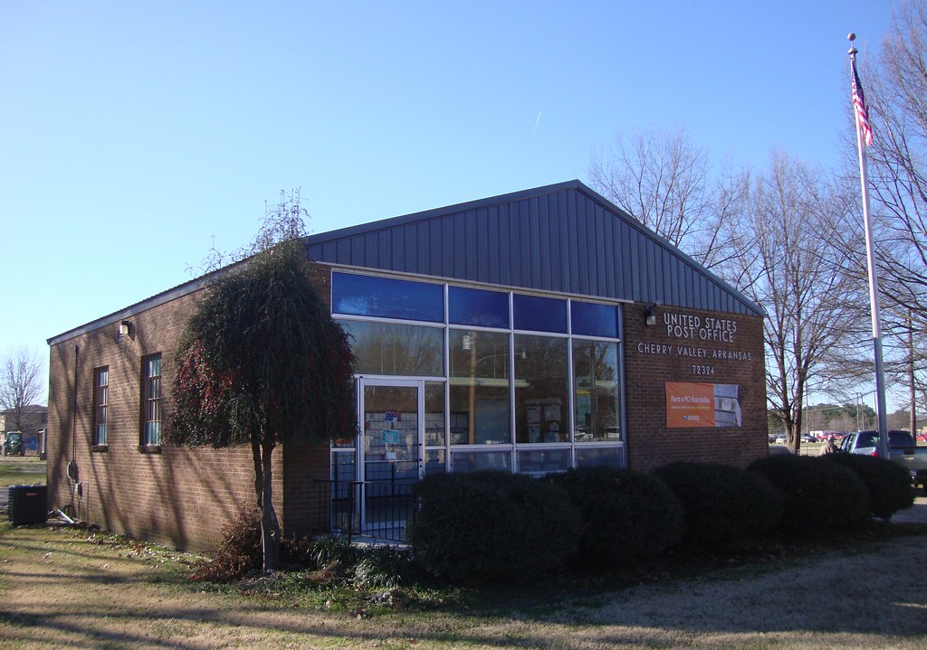
Post Office 72324 (Cherry Valley, Arkansas)

Lake Poinsett

Howard DGA 001

Bruce Wayne

Post Office 72387 (Vanndale, Arkansas)
Topographic Map of S Railroad St, Cherry Valley, AR, USA
Find elevation by address:

Places near S Railroad St, Cherry Valley, AR, USA:
Cherry Valley
Mitchell Township
11 Co Rd, Cherry Valley, AR, USA
AR-1, Cherry Valley, AR, USA
Searcy Township
AR-, Cherry Valley, AR, USA
Scott Township
5 Co Rd, Wynne, AR, USA
Cross County
Coldwater Township
AR-42, Parkin, AR, USA
1811 H F Henson Dr
Harrisburg
US-64, Parkin, AR, USA
Smith Township
Wynne
AR-, Fisher, AR, USA
Bolivar Township
Wynne, AR, USA
Hwy 14 E, Harrisburg, AR, USA
Recent Searches:
- Elevation of Corso Fratelli Cairoli, 35, Macerata MC, Italy
- Elevation of Tallevast Rd, Sarasota, FL, USA
- Elevation of 4th St E, Sonoma, CA, USA
- Elevation of Black Hollow Rd, Pennsdale, PA, USA
- Elevation of Oakland Ave, Williamsport, PA, USA
- Elevation of Pedrógão Grande, Portugal
- Elevation of Klee Dr, Martinsburg, WV, USA
- Elevation of Via Roma, Pieranica CR, Italy
- Elevation of Tavkvetili Mountain, Georgia
- Elevation of Hartfords Bluff Cir, Mt Pleasant, SC, USA