Elevation of S Palomino St, Clewiston, FL, USA
Location: United States > Florida > Hendry County > Clewiston >
Longitude: -81.096773
Latitude: 26.627168
Elevation: 9m / 30feet
Barometric Pressure: 101KPa
Related Photos:
Topographic Map of S Palomino St, Clewiston, FL, USA
Find elevation by address:

Places near S Palomino St, Clewiston, FL, USA:
Hendry County
13880 Tangelo Ave
300 Vero Ave
1855 Tampa Ave
CR, Clewiston, FL, USA
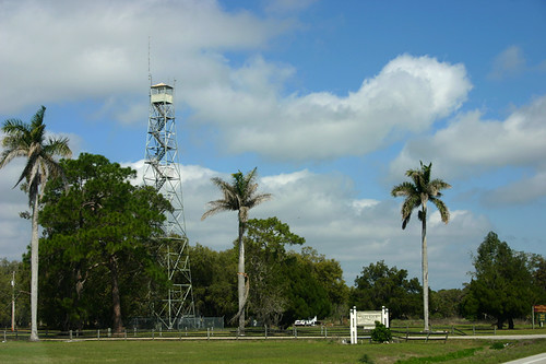
Keri Lookout Tower
Sears Road
Sears Road
Unnamed Road
1st Road
Sears Rd, LaBelle, FL, USA
Lake Harbor
3150 Evans Rd
2805 Case Rd
3288 Fussell-grade
1505 Case Rd
1220 A Rd
320 G Rd
6010 Fl-29
385 Case Rd
Recent Searches:
- Elevation of Corso Fratelli Cairoli, 35, Macerata MC, Italy
- Elevation of Tallevast Rd, Sarasota, FL, USA
- Elevation of 4th St E, Sonoma, CA, USA
- Elevation of Black Hollow Rd, Pennsdale, PA, USA
- Elevation of Oakland Ave, Williamsport, PA, USA
- Elevation of Pedrógão Grande, Portugal
- Elevation of Klee Dr, Martinsburg, WV, USA
- Elevation of Via Roma, Pieranica CR, Italy
- Elevation of Tavkvetili Mountain, Georgia
- Elevation of Hartfords Bluff Cir, Mt Pleasant, SC, USA


