Elevation of S King St, Windsor, NC, USA
Location: United States > North Carolina > Bertie County > Windsor > Windsor >
Longitude: -76.942392
Latitude: 35.989734
Elevation: 0m / 0feet
Barometric Pressure: 101KPa
Elevation Map:
Satellite Map:
Related Photos:

The Birthday Girl Had a Grand Time

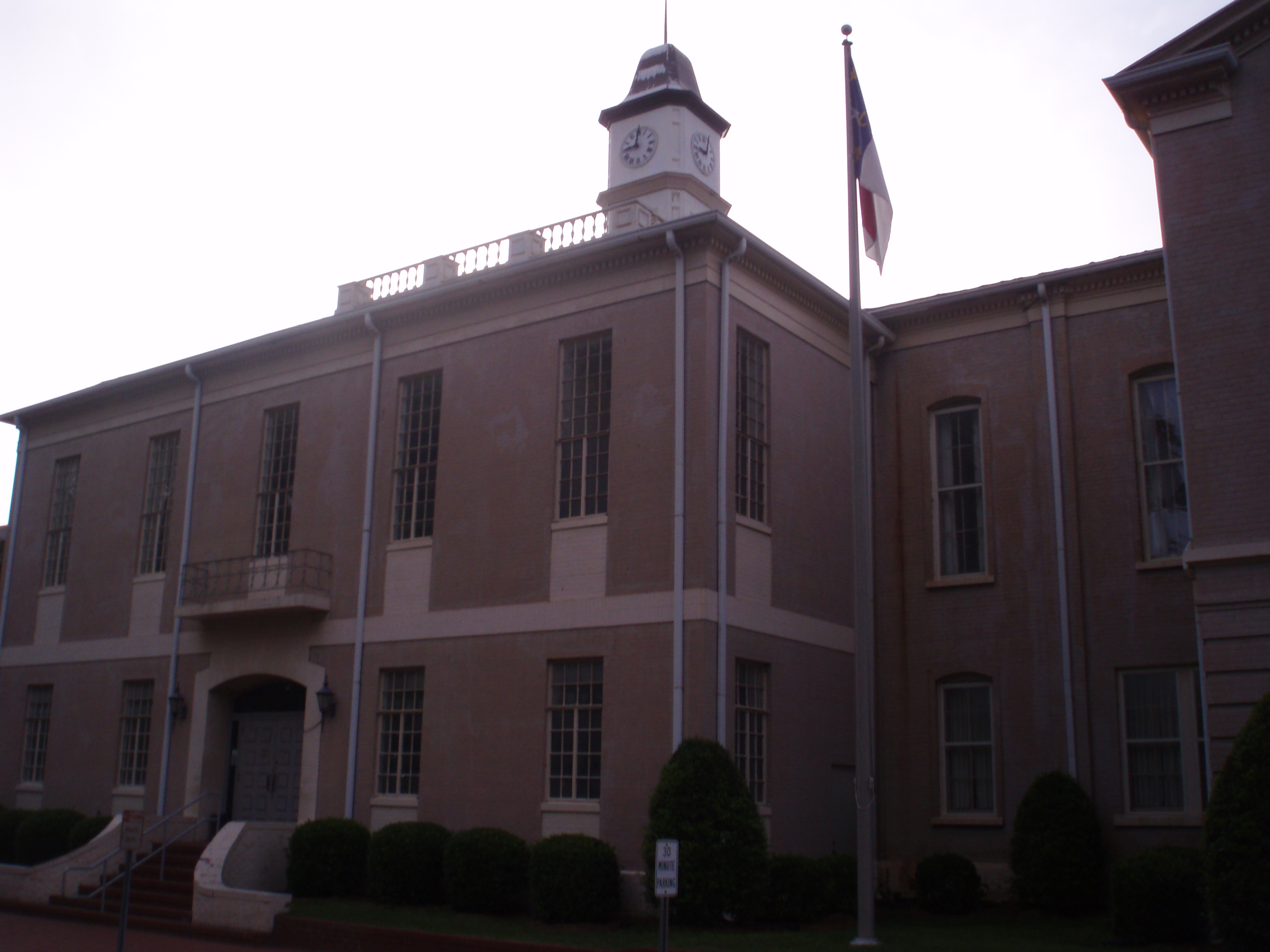
Front View Of Bertie County Courthouse
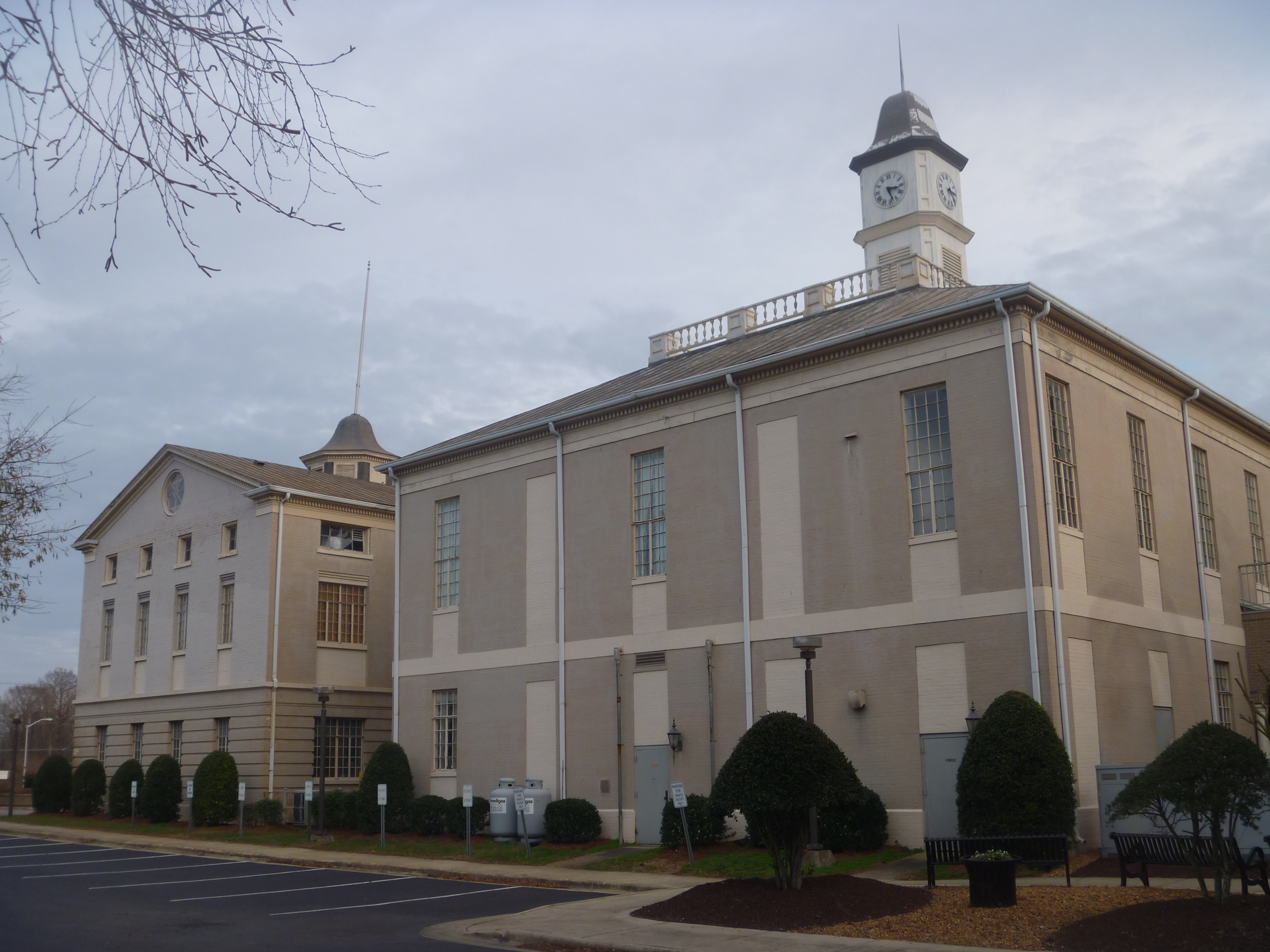
Backside View Of Bertie County Courthouse

Side View Of Bertie County Courthouse

Side View Of Bertie County Courthouse, Windsor NC

Side View Of The Entrance To Bertie County Courthouse

Bertie County Confederate Memorial Side View And Mansion, Windsor NC
Side View Bertie County Courthouse

Roanoke River National Wildlife Refuge

Roanoke River National Wildlife Refuge

Roanoke River National Wildlife Refuge

Roanoke River National Wildlife Refuge

Roanoke River National Wildlife Refuge
Topographic Map of S King St, Windsor, NC, USA
Find elevation by address:

Places near S King St, Windsor, NC, USA:
Windsor
Brian Center Health & Rehabilitation/windsor
404 Sterlingworth St
1003 N King St
242 Us-13
Bertie County
Windsor, NC, USA
Windsor
230 Blanchards Rd
1537 Cooper Hill Rd
119 Vincent Dr
2018 Us-17
2007 Us-17
Merry Hill
Merry Hill
401 Avoca Farm Rd
Salmon Creek Ln, Merry Hill, NC, USA
124 E Water St
Plymouth
108 Thomas St
Recent Searches:
- Elevation of Corso Fratelli Cairoli, 35, Macerata MC, Italy
- Elevation of Tallevast Rd, Sarasota, FL, USA
- Elevation of 4th St E, Sonoma, CA, USA
- Elevation of Black Hollow Rd, Pennsdale, PA, USA
- Elevation of Oakland Ave, Williamsport, PA, USA
- Elevation of Pedrógão Grande, Portugal
- Elevation of Klee Dr, Martinsburg, WV, USA
- Elevation of Via Roma, Pieranica CR, Italy
- Elevation of Tavkvetili Mountain, Georgia
- Elevation of Hartfords Bluff Cir, Mt Pleasant, SC, USA