Elevation of S Dove Dr, Camano Island, WA, USA
Location: United States > Washington > Island County > Camano Island >
Longitude: -122.51478
Latitude: 48.1953109
Elevation: 128m / 420feet
Barometric Pressure: 100KPa
Elevation Map:
Satellite Map:
Related Photos:
Moulin Rouge

Multi-million dollar view from the front porch...........VAQ-129 "Viking" doing Touch-N-Go's at Coupeville OLF
Camano star trails

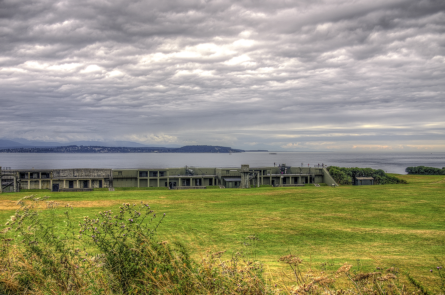
Olympic Mountains, Fort Casey State Park, Washington, 2014
Chen caerulescens (Snow Geese)
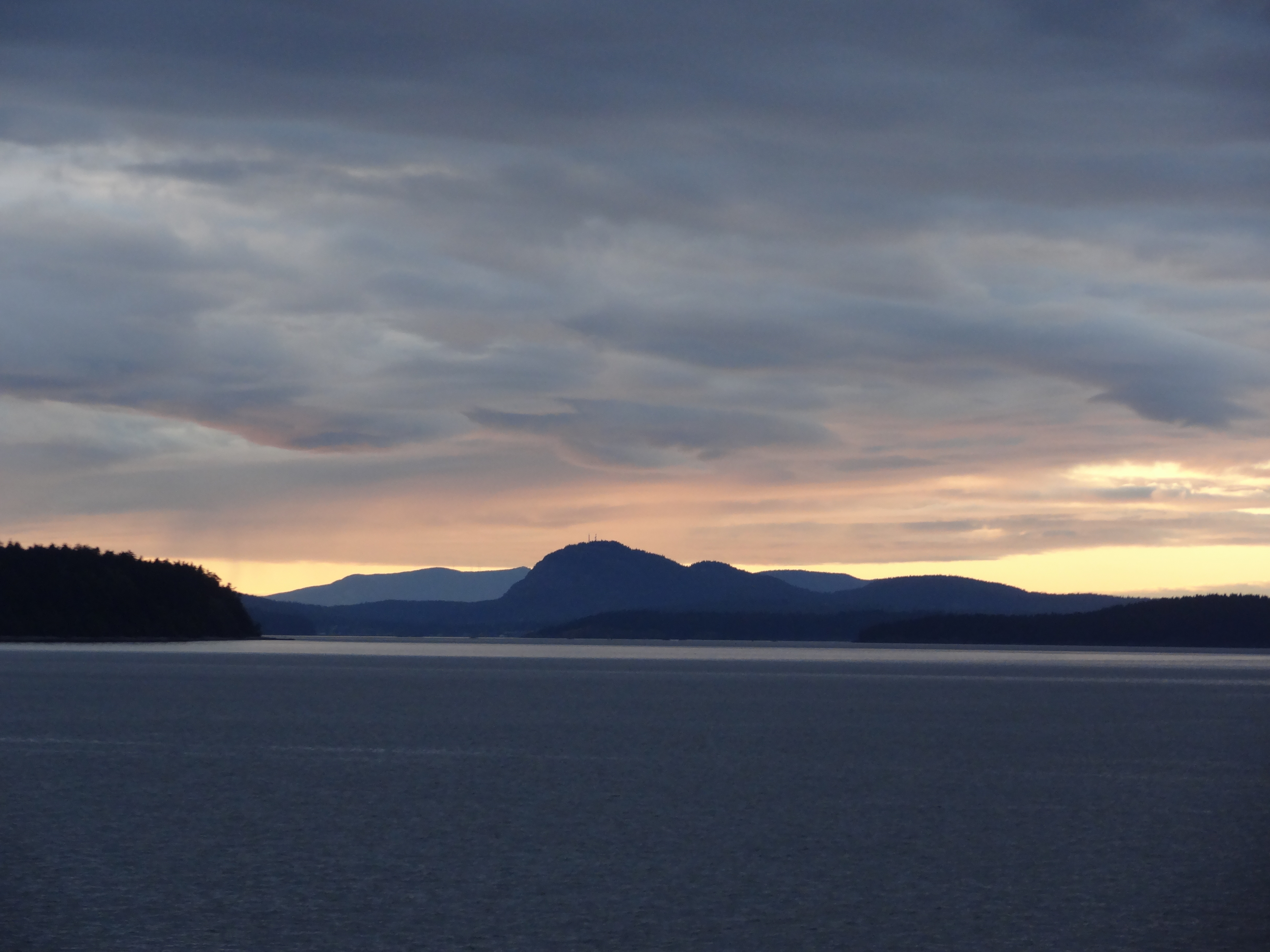
Puget Sound Panorama
View from the light
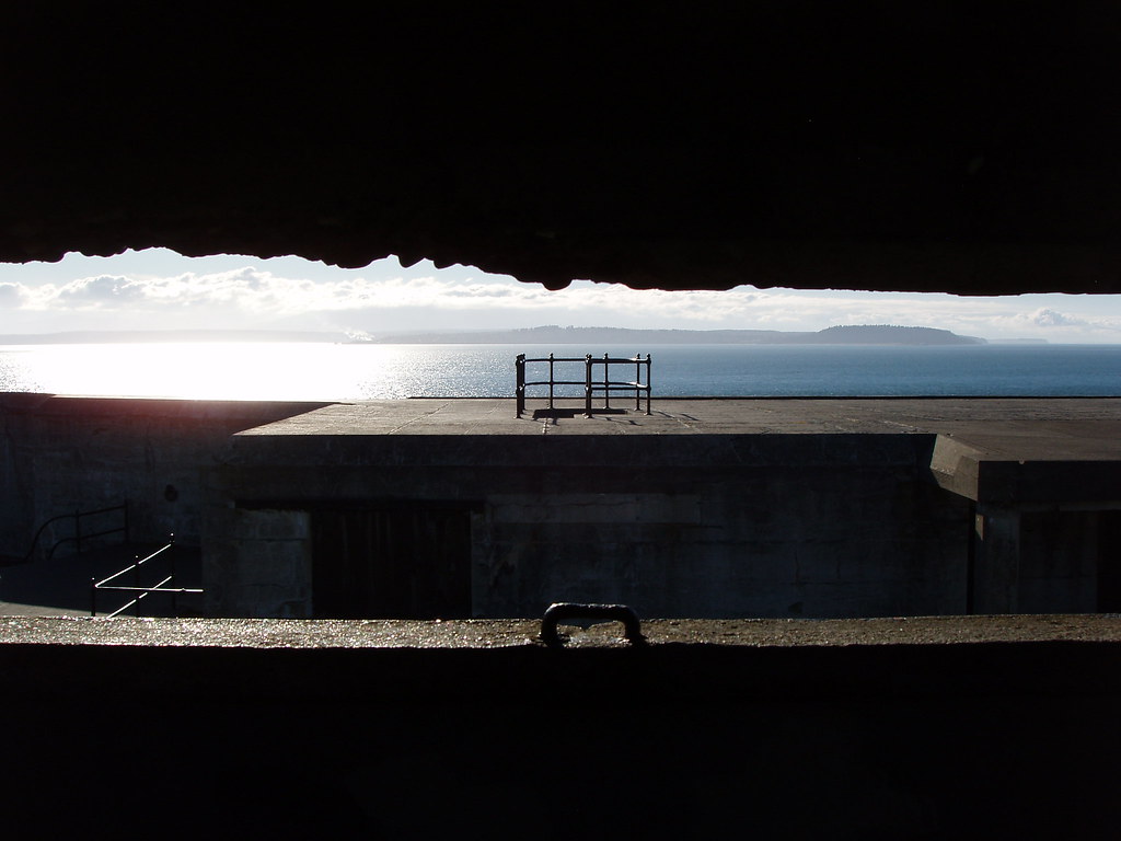
View across Admiralty Inlet

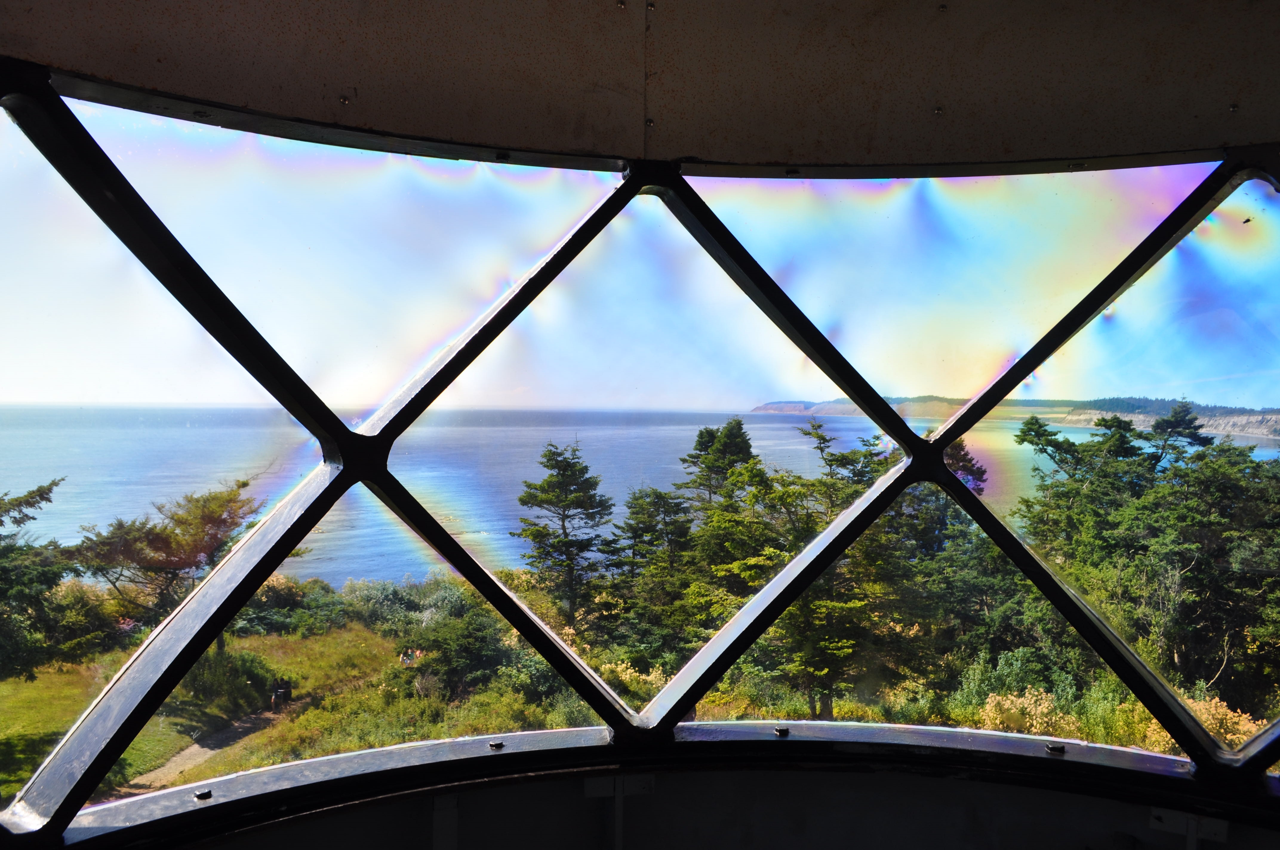
View from Admiralty Head Lighthouse Lantern
Admiralty Head Lighthouse Near Sunset HDR
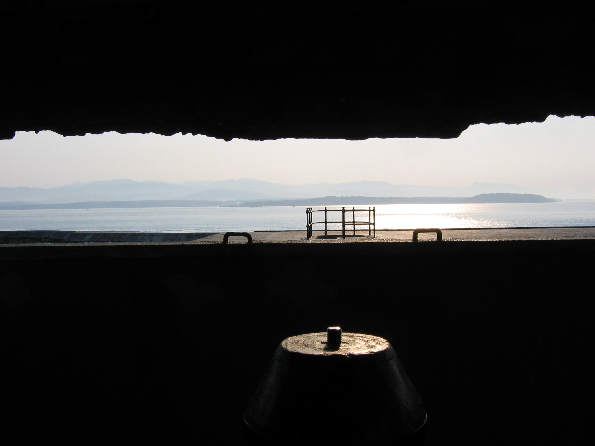
Lookout Tower View
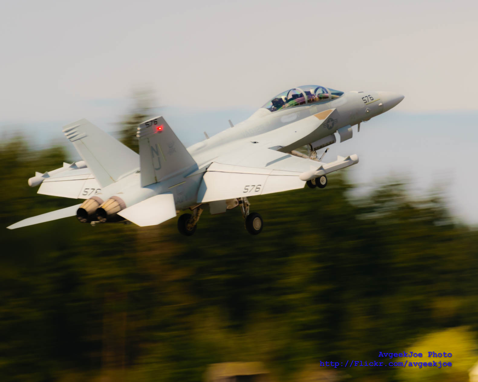
BY THE RED LIGHT OF AN EA-18G GROWLER'S TAIL...

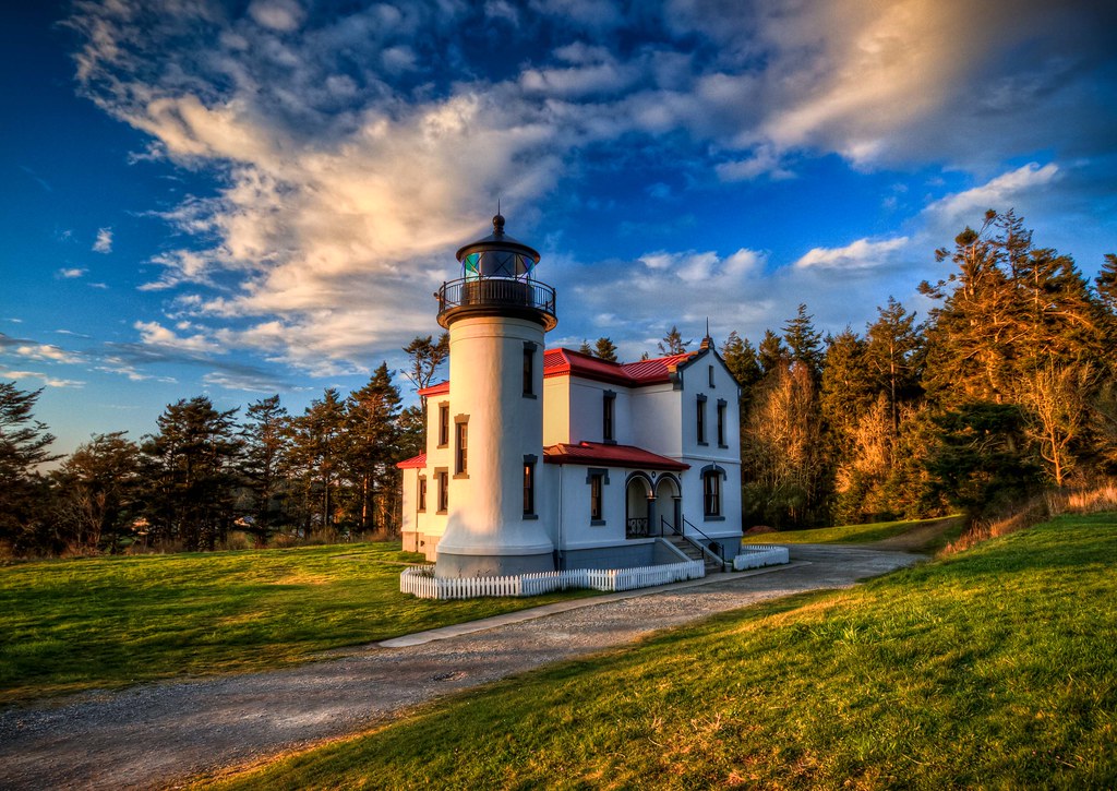
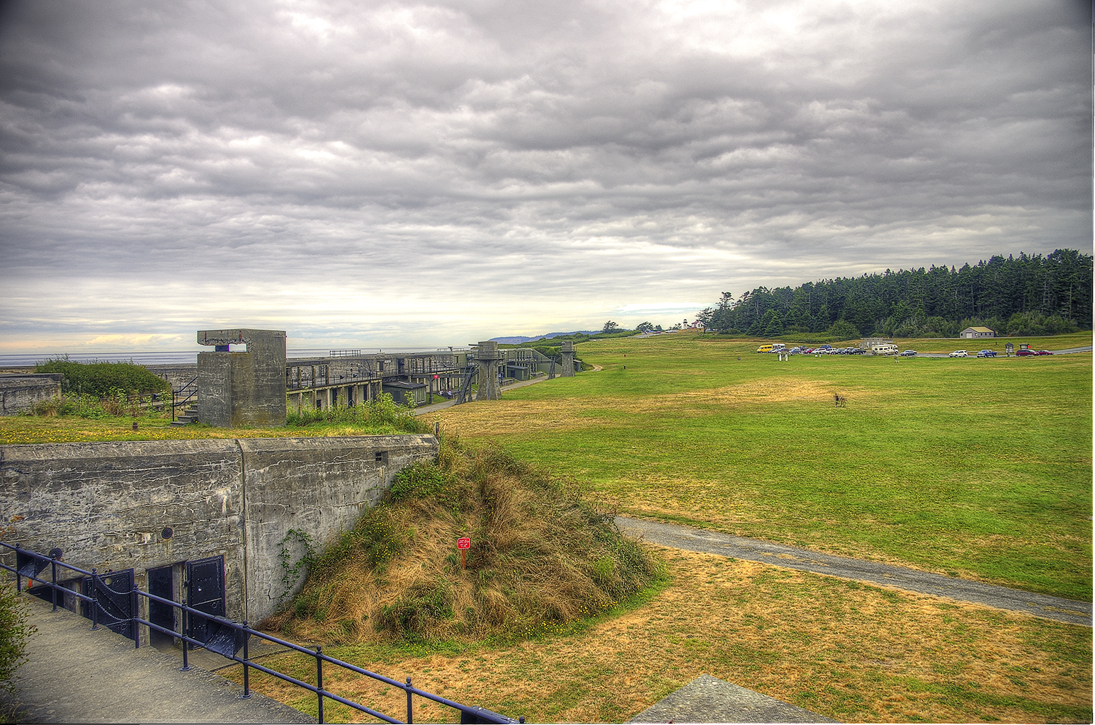
Admiralty Head Lighthouse

Maple Grove Beach
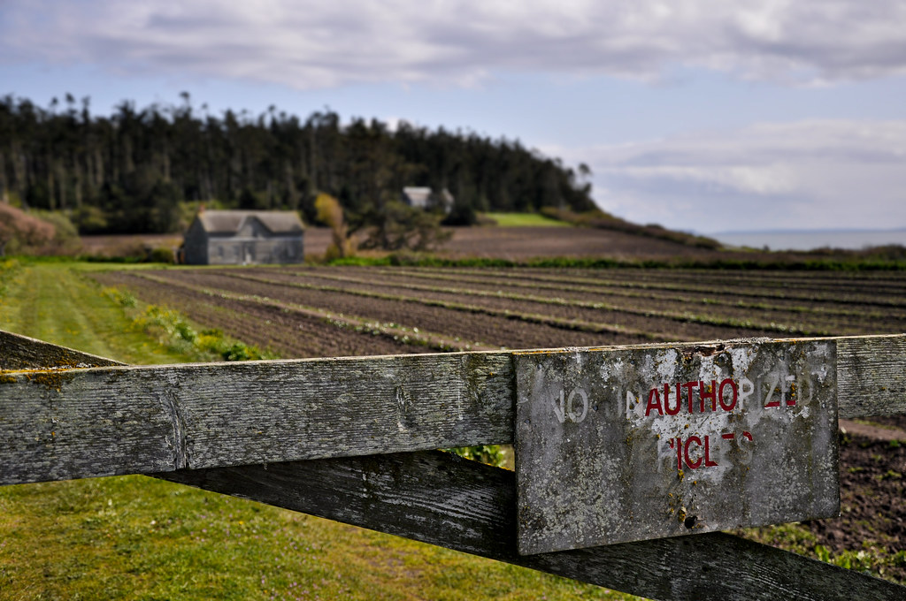
No Unauthorized Vehicles

Maple Grove Beach
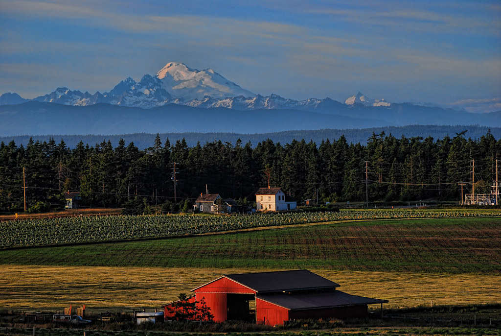
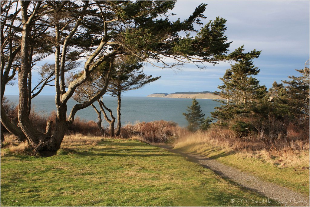
Ebey's Landing Mt Baker

New office, new view. Can see three fingers on a clear day.
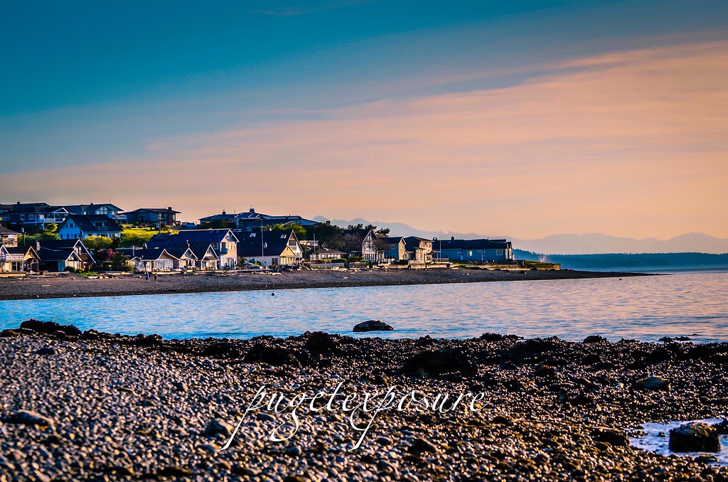
Maple Grove Beach

Maple Grove Beach
View from Dick & Diane's Porch
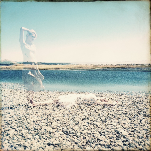
Soul Break

Whidbey Island panorama
Paths We Did Not Know
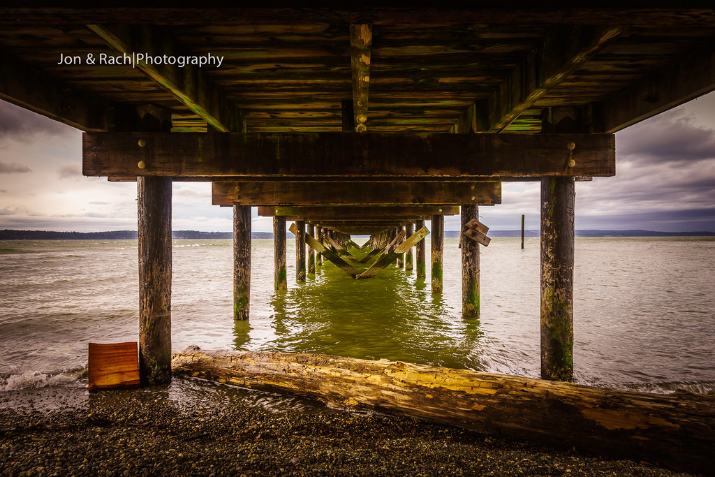
Under the pier, Kayak Point, WA
My Wake Up Call
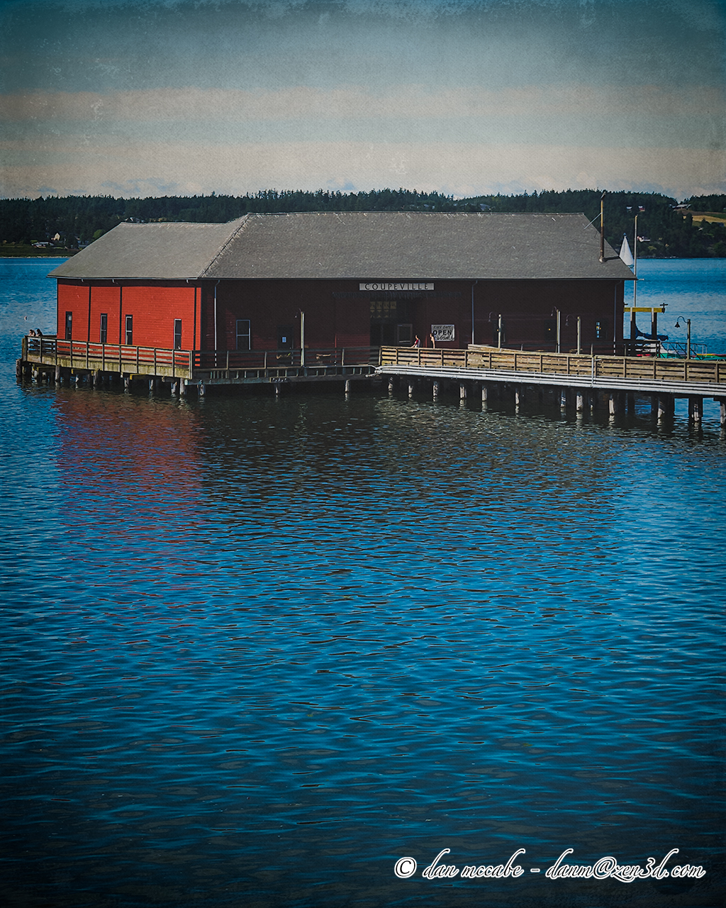
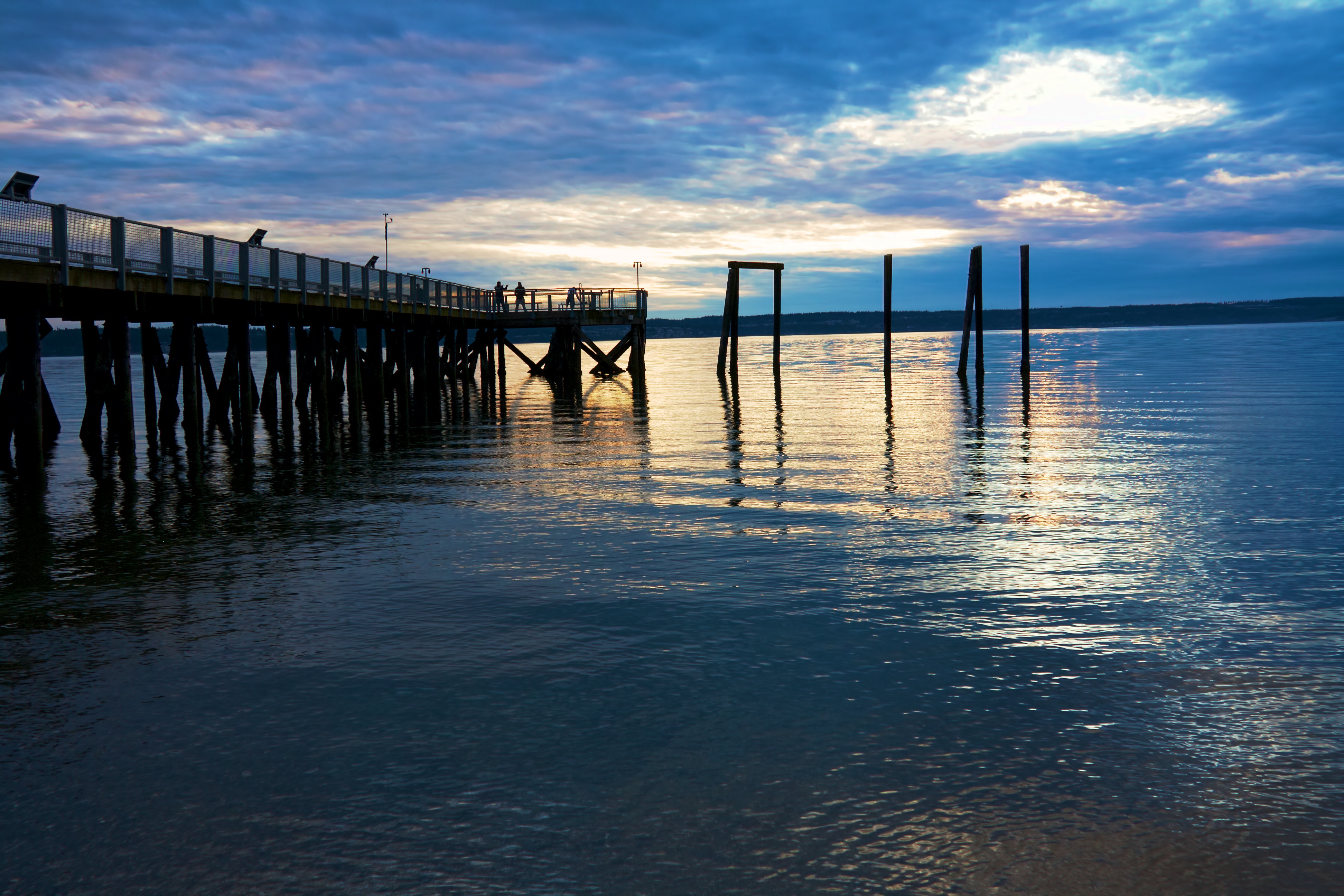
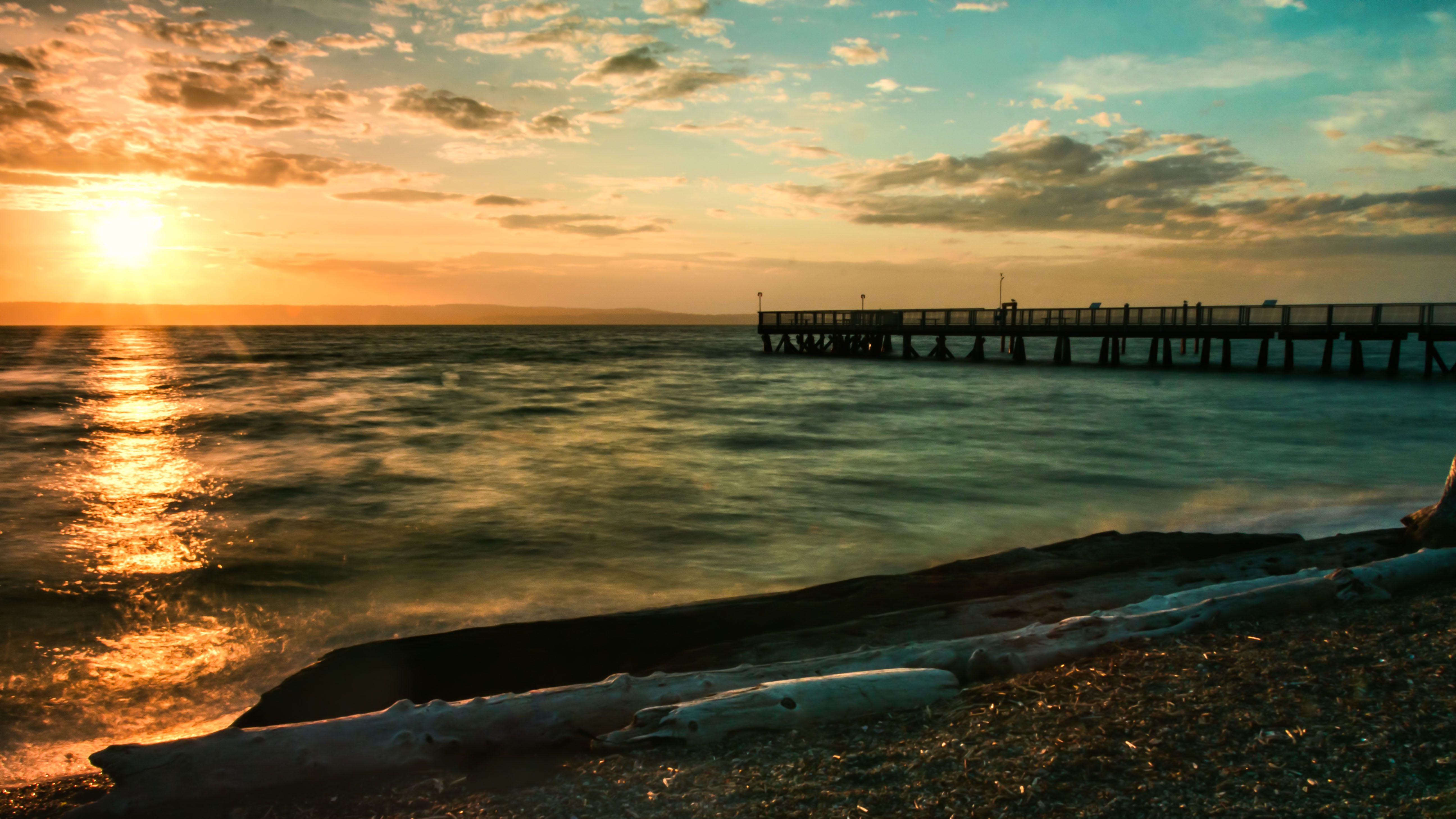
Coupeville Wharf on Penn Cove

Coupeville Wharf.

2012-08-21__IMG0102_3_4_5_6Enhancer

Temporary new church location...

2012-08-22__IMG0300_1_2_3_4Enhancer
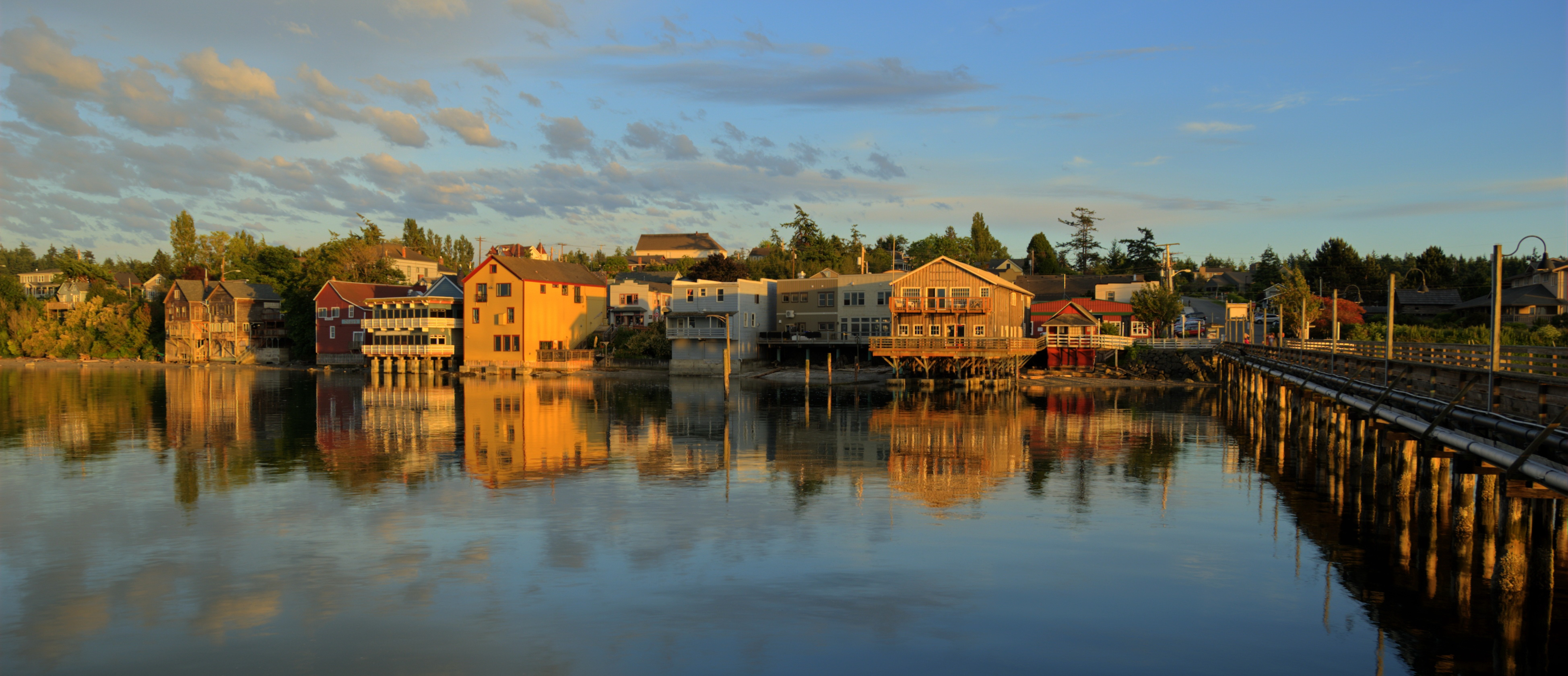
Coupeville at Summer Dusk
2012-08-21__IMG0167_68_69_70_71Enhancer

Eide Road 2-8-2015-2828
2012-08-21__IMG0112_3_4_5_6Enhancer

2012-08-22__IMG0356 2 images-Edit
Sunset at Kayak

Wide Open Spaces
My picturesque impression of the Pacific Northwest. #nofilter #camanoisland #washington #washingtonstate #love #travel #travelporn #instagood #webstagram #

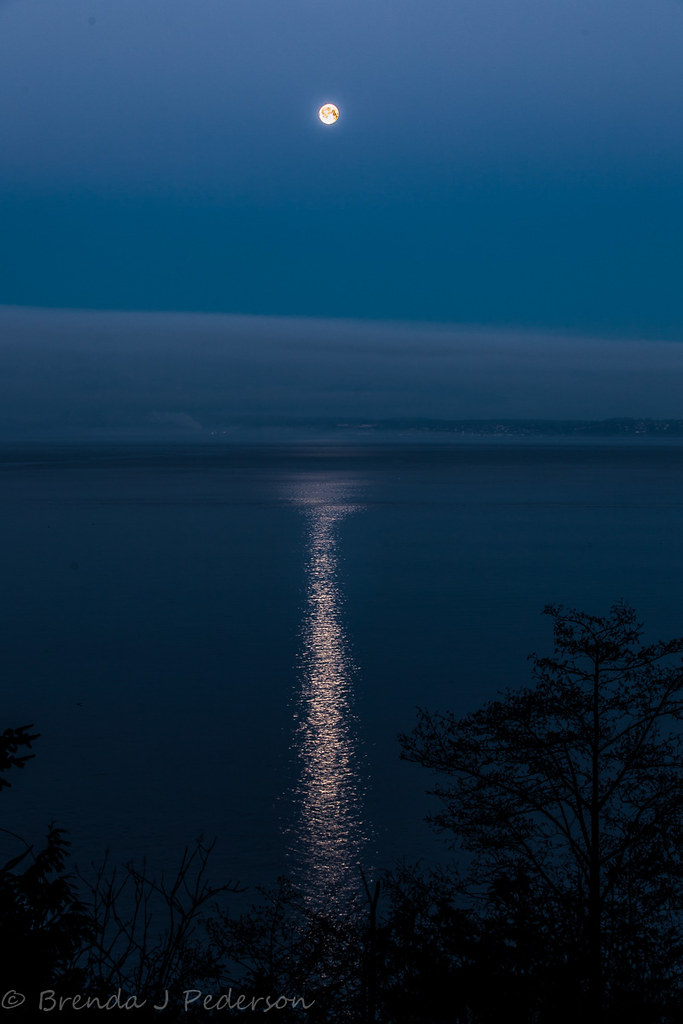
when the Moon and the Sun Kiss
Parego's (or is it Perego) lake from Ebey's Landing Bluff
Slow Sunset
Topographic Map of S Dove Dr, Camano Island, WA, USA
Find elevation by address:

Places near S Dove Dr, Camano Island, WA, USA:
Camano Island
West Carp Lake Road
741 S Commodore Ln
1024 S Falcon Rd
West Camano Drive
Woodland Beach Road
1070 Sprinter Ln
623 Pathfinder Ln
Camano Island
273 N W Camano Dr
314 N Camano Ridge Rd
965 Passage Ln
206 N Sunset Dr
355 N Sequoia Pl
587 Green Island Way
930 Michael Way
766 Glenacre Ln
443 N Sunset Dr
1179 S Central Dr
628 N Sunset Dr
Recent Searches:
- Elevation of Corso Fratelli Cairoli, 35, Macerata MC, Italy
- Elevation of Tallevast Rd, Sarasota, FL, USA
- Elevation of 4th St E, Sonoma, CA, USA
- Elevation of Black Hollow Rd, Pennsdale, PA, USA
- Elevation of Oakland Ave, Williamsport, PA, USA
- Elevation of Pedrógão Grande, Portugal
- Elevation of Klee Dr, Martinsburg, WV, USA
- Elevation of Via Roma, Pieranica CR, Italy
- Elevation of Tavkvetili Mountain, Georgia
- Elevation of Hartfords Bluff Cir, Mt Pleasant, SC, USA