Elevation of Glenacre Ln, Camano Island, WA, USA
Location: United States > Washington > Island County > Camano Island >
Longitude: -122.52511
Latitude: 48.229714
Elevation: 102m / 335feet
Barometric Pressure: 100KPa
Elevation Map:
Satellite Map:
Related Photos:

A Turn for the Better
My Wake Up Call
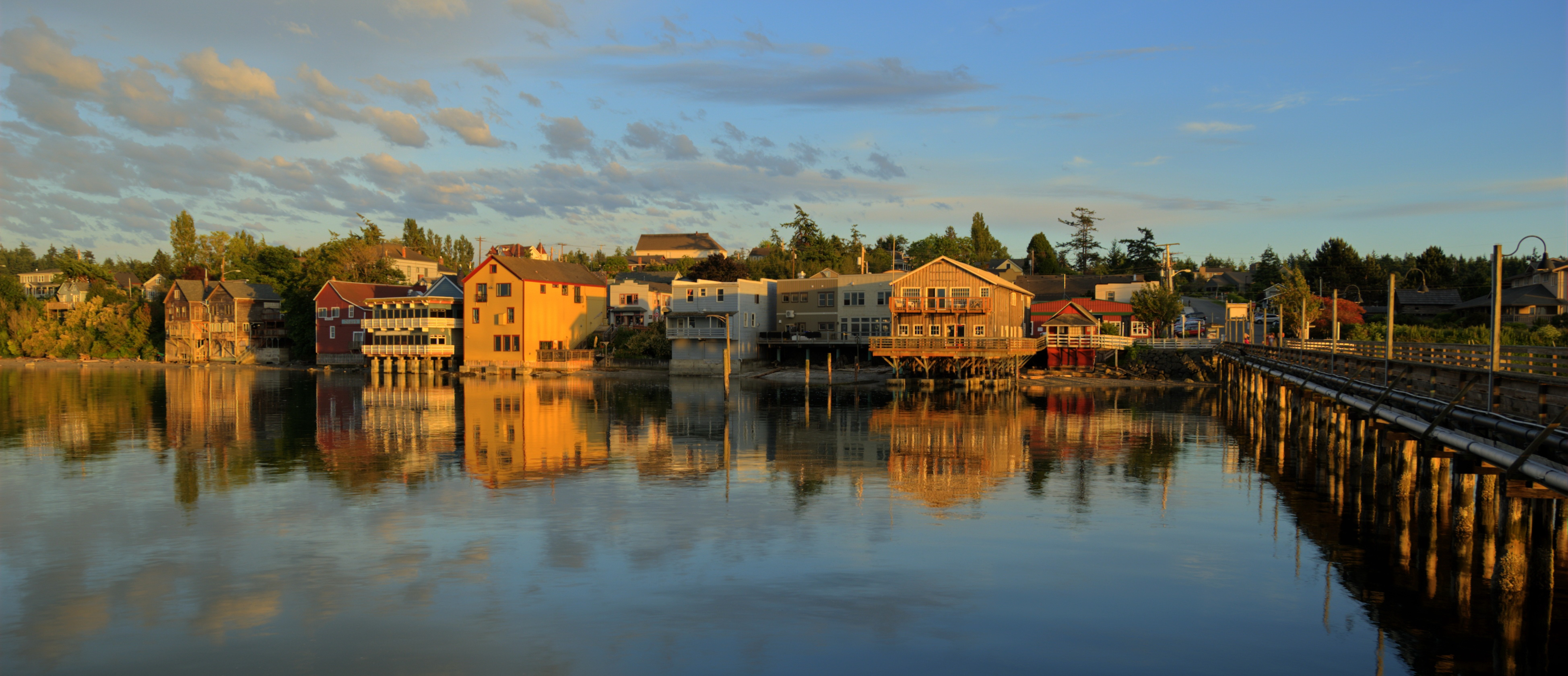
Coupeville panorama - Ebey's Landing National Historical Reserve
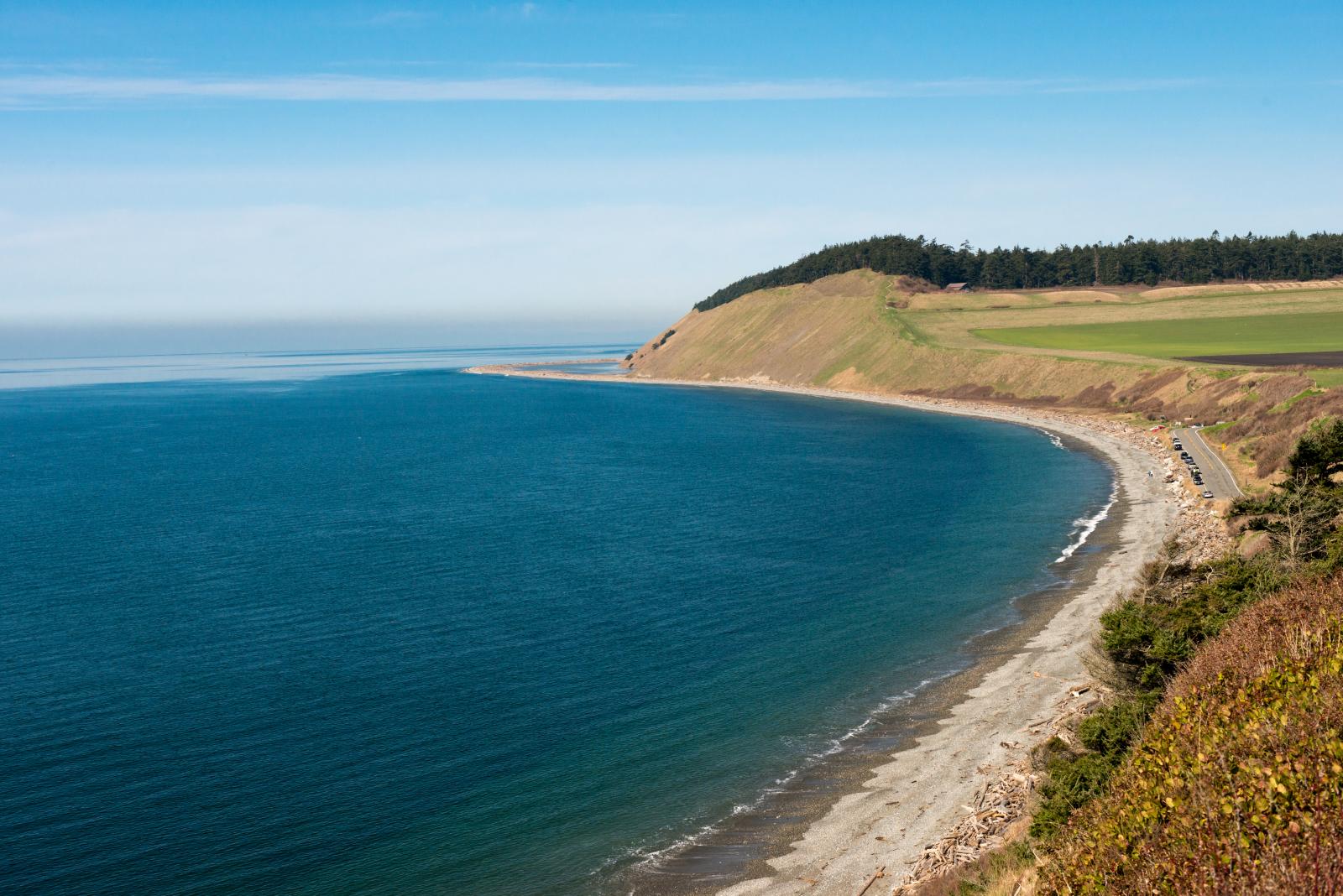
Ebey's Landing, Coupeville, San Juan Islands

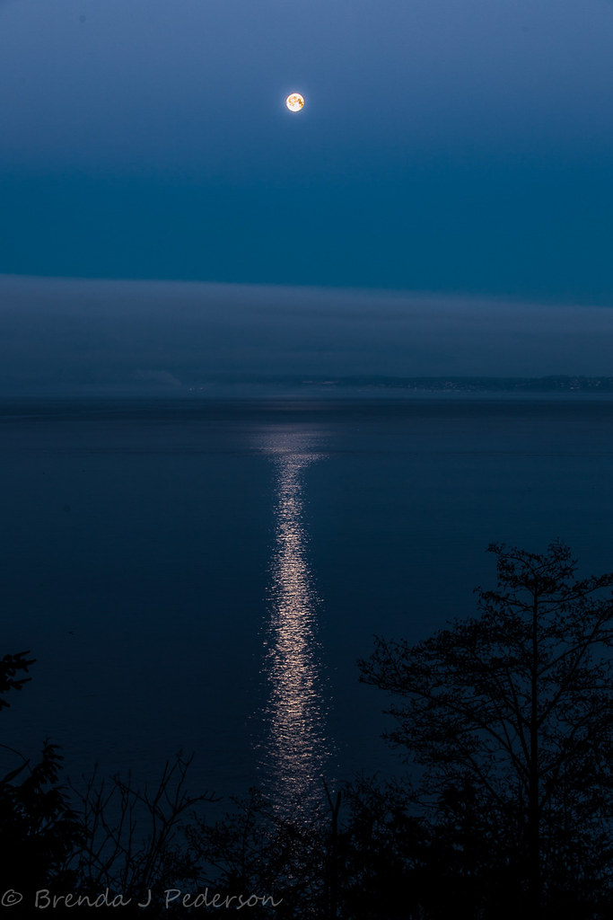
Sunset Perch
2011-12-17 Ika Island (D90 Archives) (2048x1024)
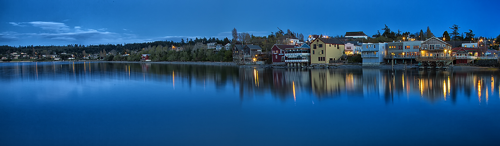
Coupeville at Summer Dusk
An Evening at the Wharf

#camanoisland #beachhouse #juniperbeach #driftwood #samsungnote4
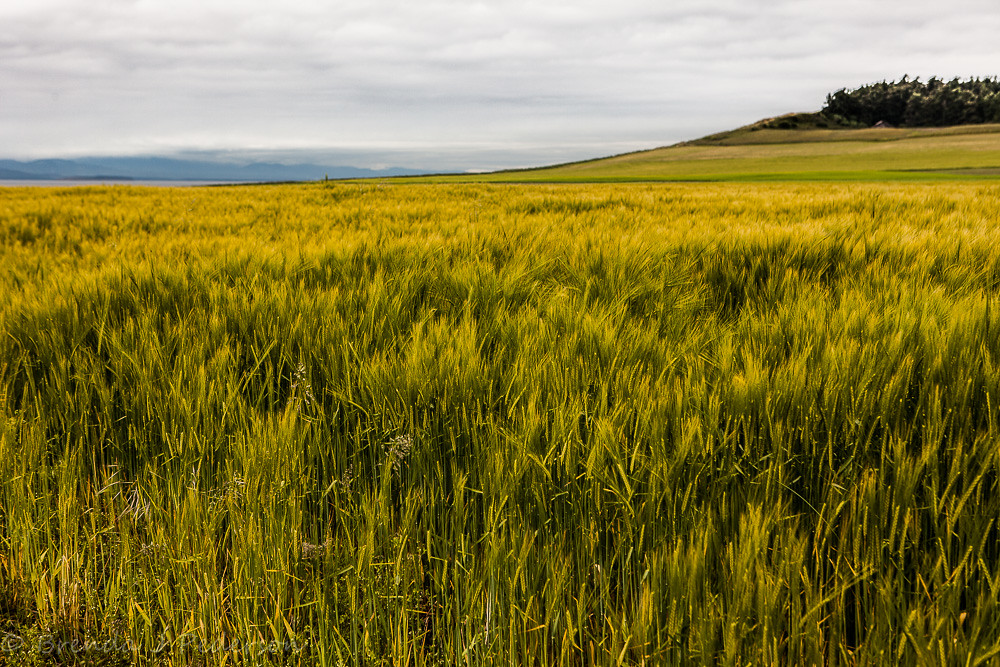
Fields of Grain
2011-12-17 Ika Island & Goat Island (D90 Archives) (2048x1024)
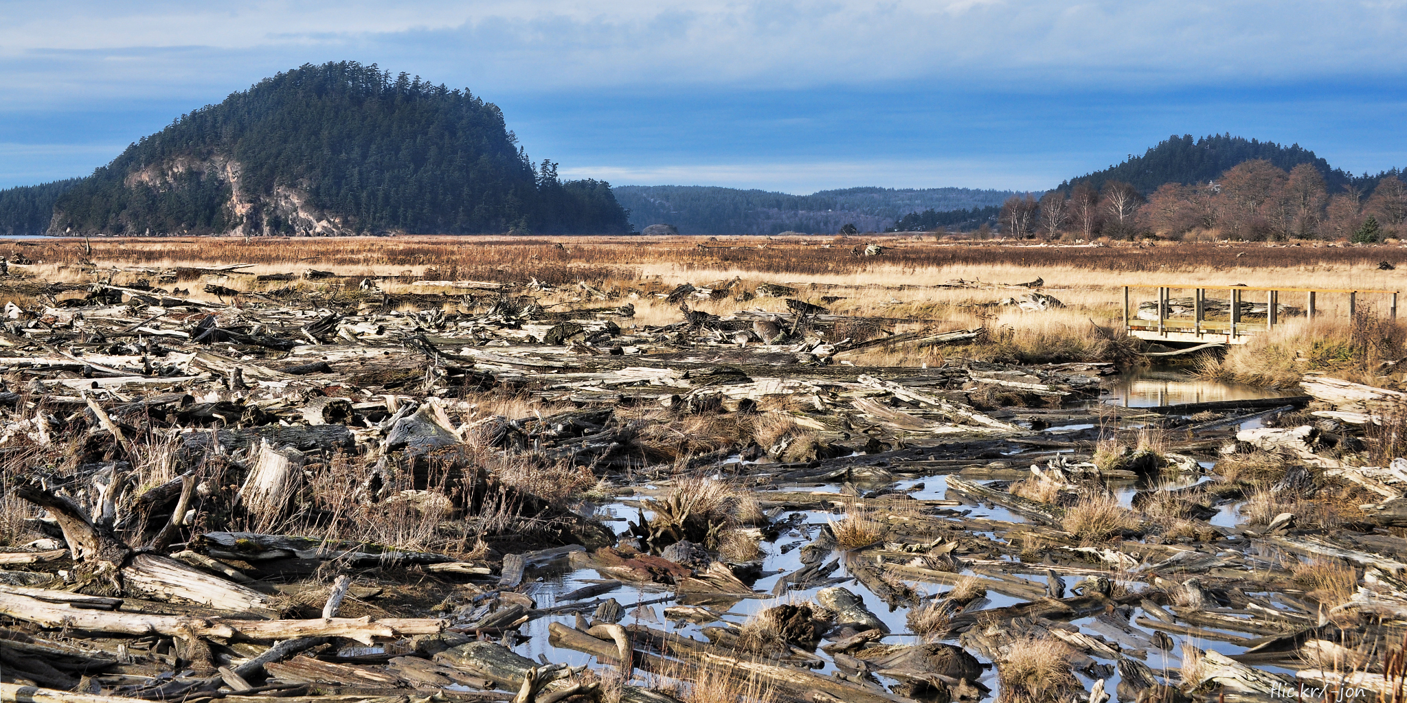
the bluff trail at Ebey's Landing

Admiralty Head Lighthouse

beach walking at Ebey's Landing

Olympic Mountains, Fort Casey State Park, Washington, 2014

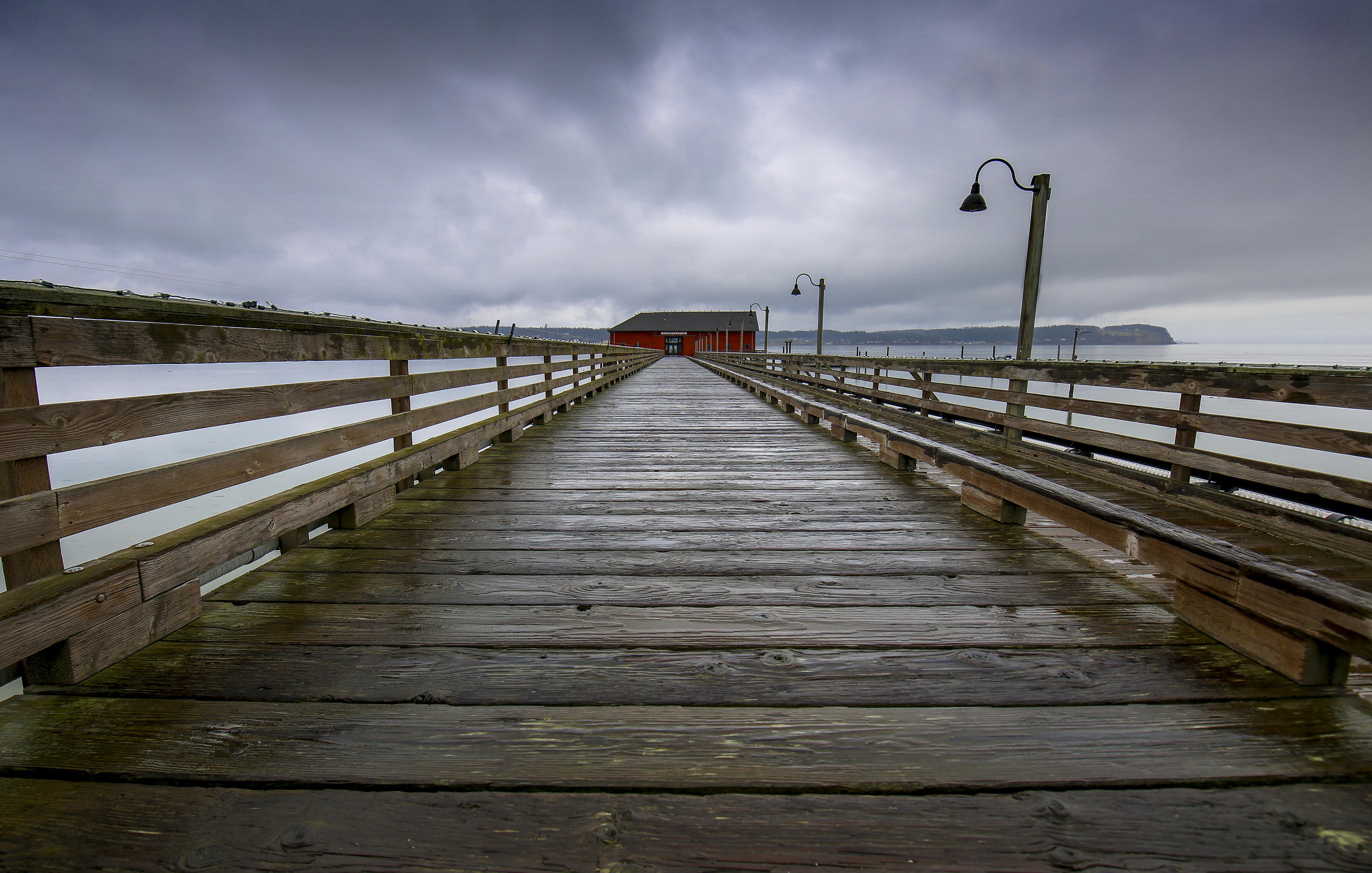
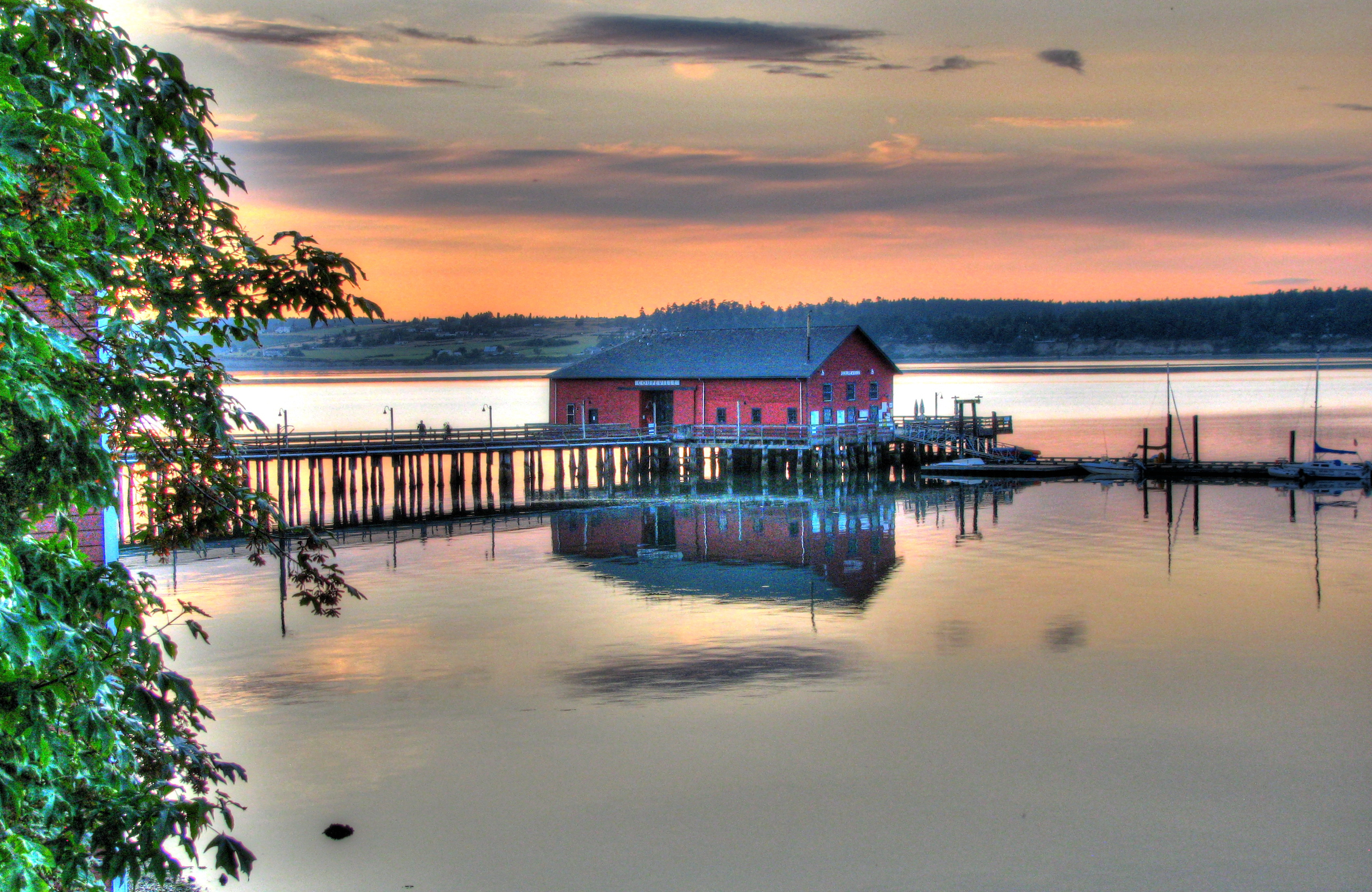
Coupeville Wharf.

Ebey's Landing Overlook
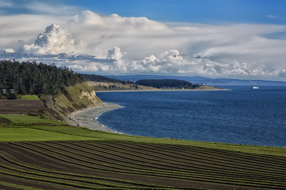
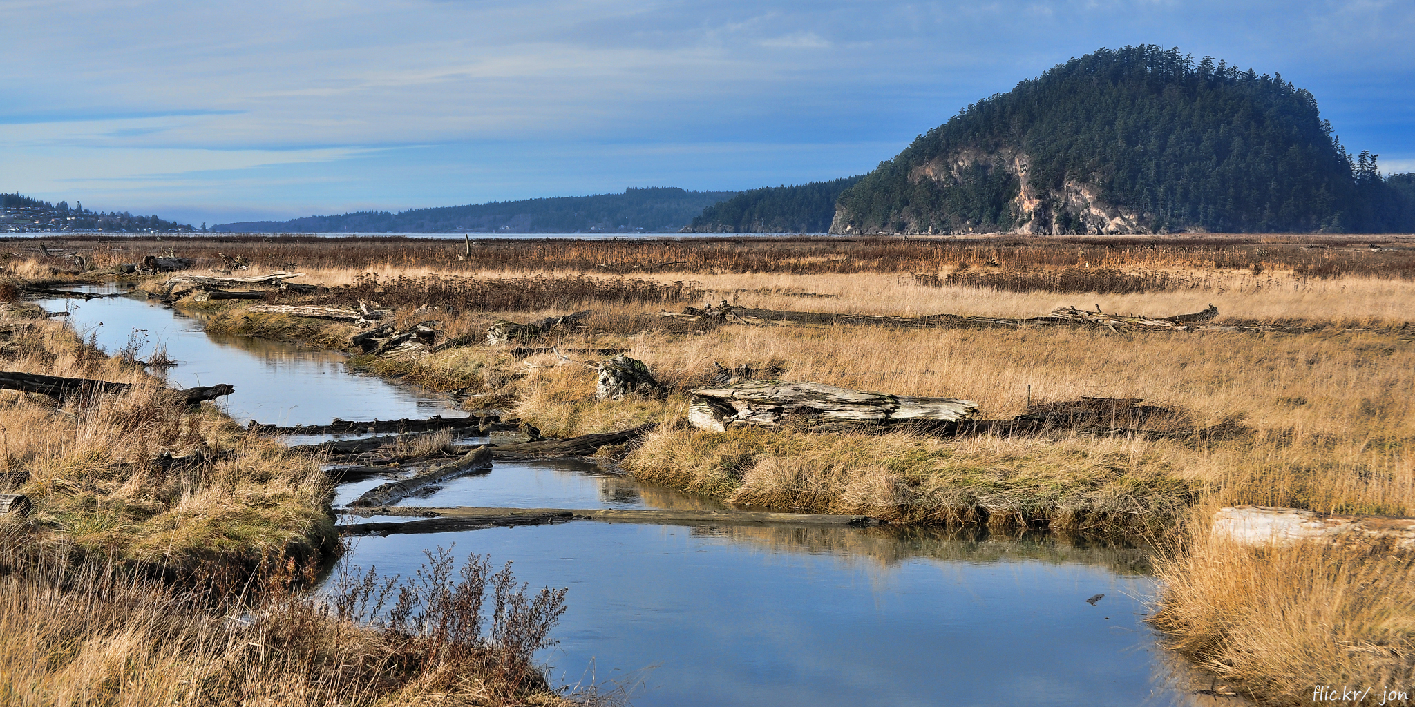
Ebey's Prairie and Fort Casey
Morning Field

Admiralty Head Lighthouse - Nikon D7000, Nikkor 17-55mm f/2.8

Soul Break
Topographic Map of Glenacre Ln, Camano Island, WA, USA
Find elevation by address:

Places near Glenacre Ln, Camano Island, WA, USA:
628 N Sunset Dr
665 Scandia Pkwy
443 N Sunset Dr
273 N W Camano Dr
825 N W Camano Dr
623 Pathfinder Ln
206 N Sunset Dr
726 N Lisa Ln
884 Rocky Point Dr
884 Rocky Point Dr
1019 Rocky Point Dr
931 Rocky Point Dr
314 N Camano Ridge Rd
965 Passage Ln
915 Karen Ann Dr
West Carp Lake Road
936 Karen Ann Dr
355 N Sequoia Pl
Maple Grove Road
West Brentwood Drive
Recent Searches:
- Elevation of Corso Fratelli Cairoli, 35, Macerata MC, Italy
- Elevation of Tallevast Rd, Sarasota, FL, USA
- Elevation of 4th St E, Sonoma, CA, USA
- Elevation of Black Hollow Rd, Pennsdale, PA, USA
- Elevation of Oakland Ave, Williamsport, PA, USA
- Elevation of Pedrógão Grande, Portugal
- Elevation of Klee Dr, Martinsburg, WV, USA
- Elevation of Via Roma, Pieranica CR, Italy
- Elevation of Tavkvetili Mountain, Georgia
- Elevation of Hartfords Bluff Cir, Mt Pleasant, SC, USA