Elevation of S Cove Rd, Sylacauga, AL, USA
Location: United States > Alabama > Talladega County > Sylacauga >
Longitude: -86.497398
Latitude: 32.9874616
Elevation: 126m / 413feet
Barometric Pressure: 100KPa
Elevation Map:
Satellite Map:
Related Photos:

stay just a little bit longer
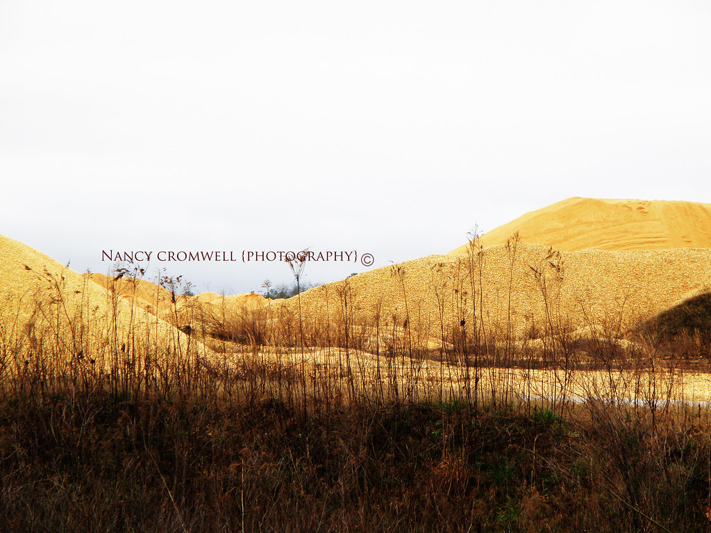
Sand & Gravel pit on a County Road in Clanton Al

photo 3

2015 January 20 Rest Stop Clanton Al C
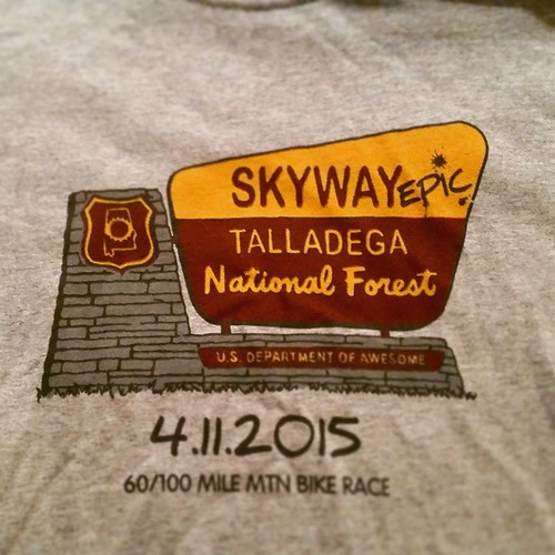
#skyway #skywayepic #epic #hammertime #talladega

2015 January 20 Rest Stop Clanton Al C
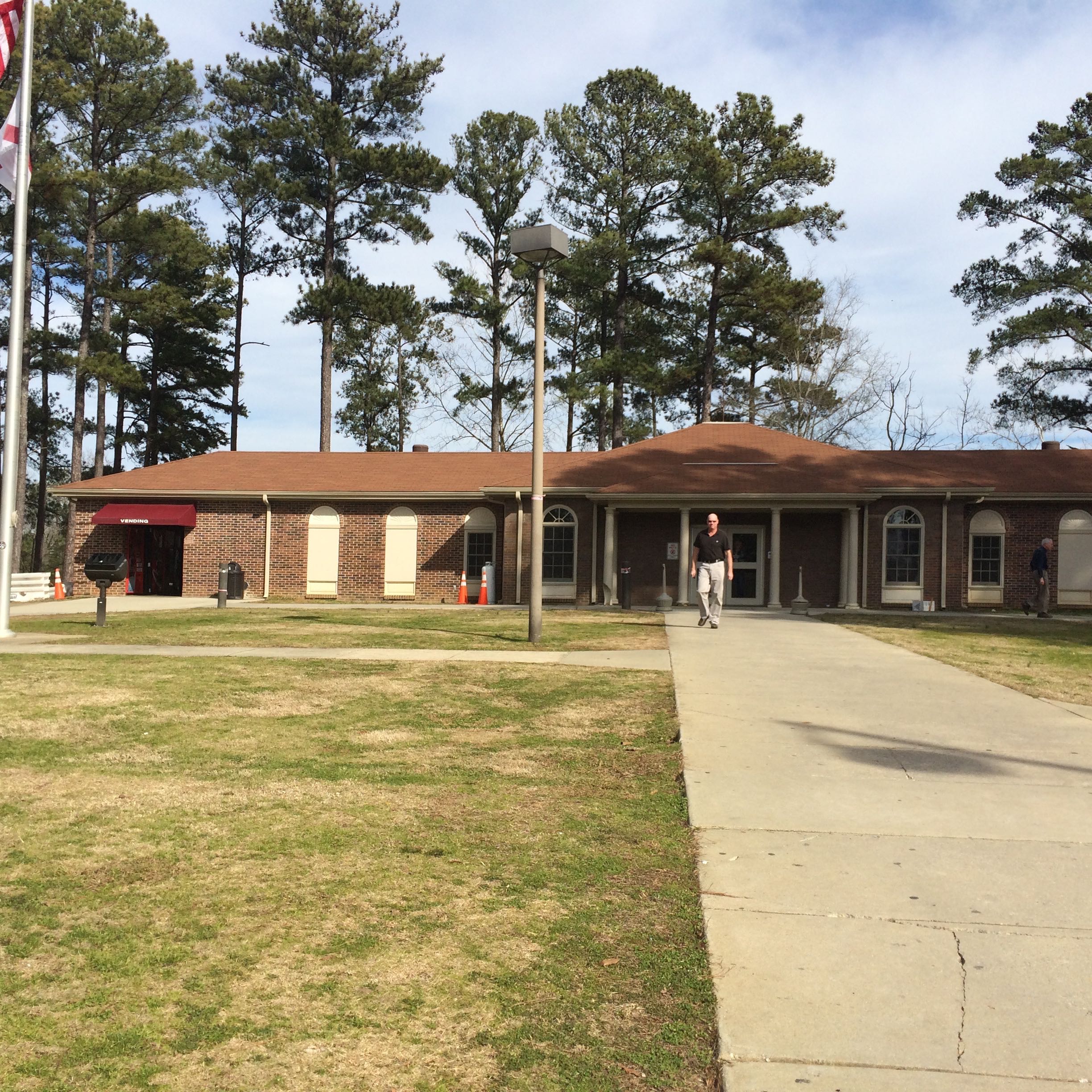
2015 January 20 Rest Stop Clanton Al C
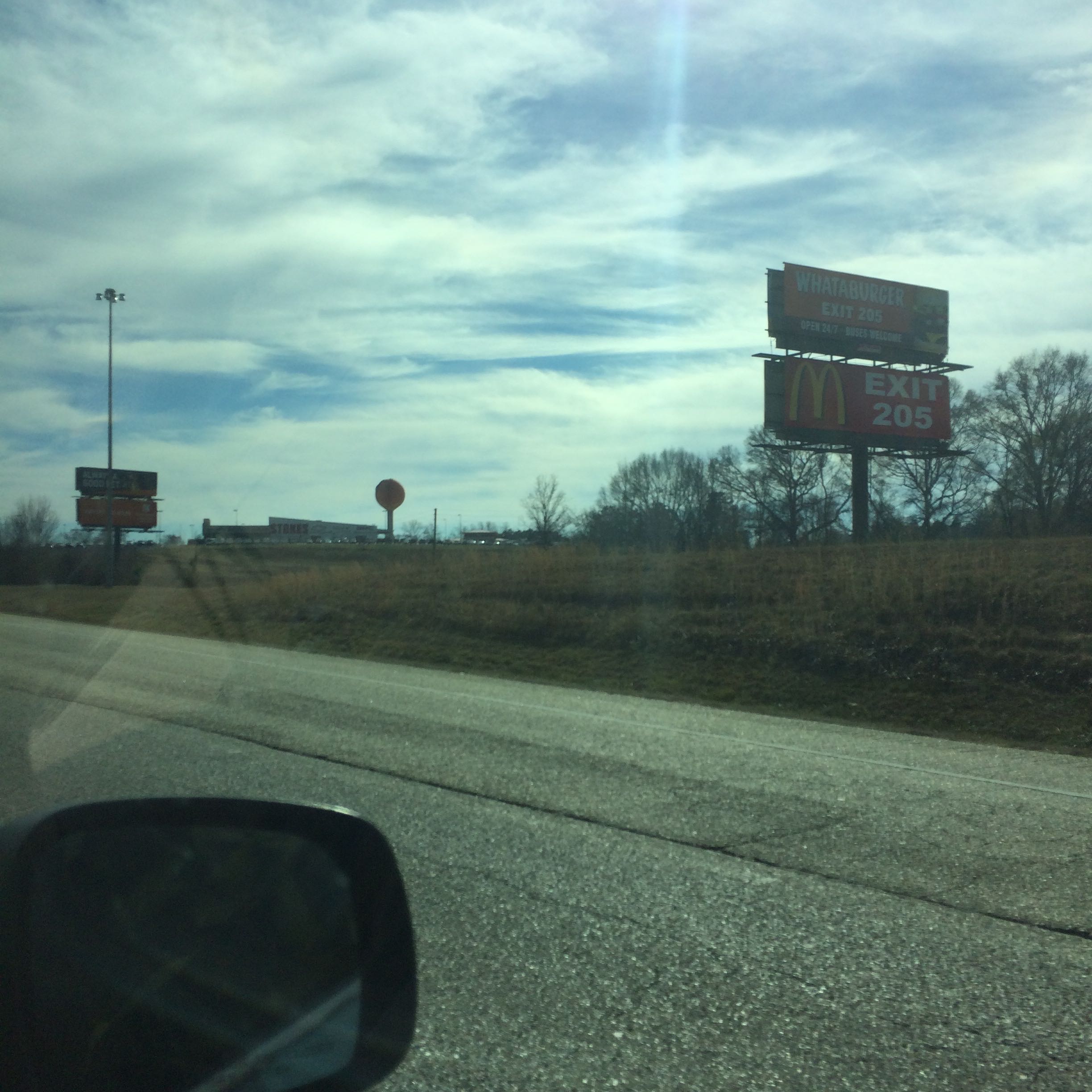
2015 January 20 Rest Stop Clanton Al C

2015 January 20 Rest Stop Clanton Al C
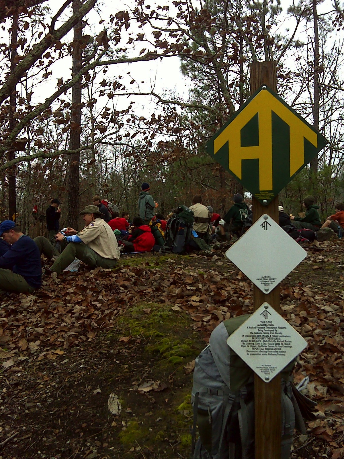
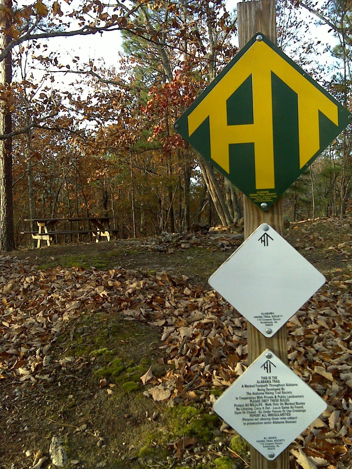
Flagg Mountain - 5
Flagg Mountain - 2

photo 5-5

photo 5

photo 5-4

photo 5-3
photo 5-2

photo 4-5

photo 4

photo 5-1

photo 4-4

photo 4-3

photo 3-5

photo 4-1
Topographic Map of S Cove Rd, Sylacauga, AL, USA
Find elevation by address:

Places near S Cove Rd, Sylacauga, AL, USA:
Co Rd 46, Shelby, AL, USA
389 Co Rd 180
389 Co Rd 180
724 Peckerwood Creek Trail #617
724 Peckerwood Creek Trail #617
88 Co Rd 55
Talladega Springs Rd, Sylacauga, AL, USA
River Dr, Shelby, AL, USA
Shelby
23600 Al-145
Chilton County
Paradise Point Dr, Columbiana, AL, USA
7th St N, Clanton, AL, USA
Clanton
1214 7th St S
County Road 81
7th St S, Clanton, AL, USA
Adient Clanton Inc.
121 Pinetree Cir
County Road 753
Recent Searches:
- Elevation of Corso Fratelli Cairoli, 35, Macerata MC, Italy
- Elevation of Tallevast Rd, Sarasota, FL, USA
- Elevation of 4th St E, Sonoma, CA, USA
- Elevation of Black Hollow Rd, Pennsdale, PA, USA
- Elevation of Oakland Ave, Williamsport, PA, USA
- Elevation of Pedrógão Grande, Portugal
- Elevation of Klee Dr, Martinsburg, WV, USA
- Elevation of Via Roma, Pieranica CR, Italy
- Elevation of Tavkvetili Mountain, Georgia
- Elevation of Hartfords Bluff Cir, Mt Pleasant, SC, USA