Elevation of S Clary Rd, Jefferson, ME, USA
Location: United States > Maine > Lincoln County > Jefferson >
Longitude: -69.554556
Latitude: 44.1151938
Elevation: 53m / 174feet
Barometric Pressure: 101KPa
Elevation Map:
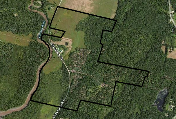
Satellite Map:
Related Photos:

3D - 01 Damariscotta, Maine

01 Damariscotta - Maine
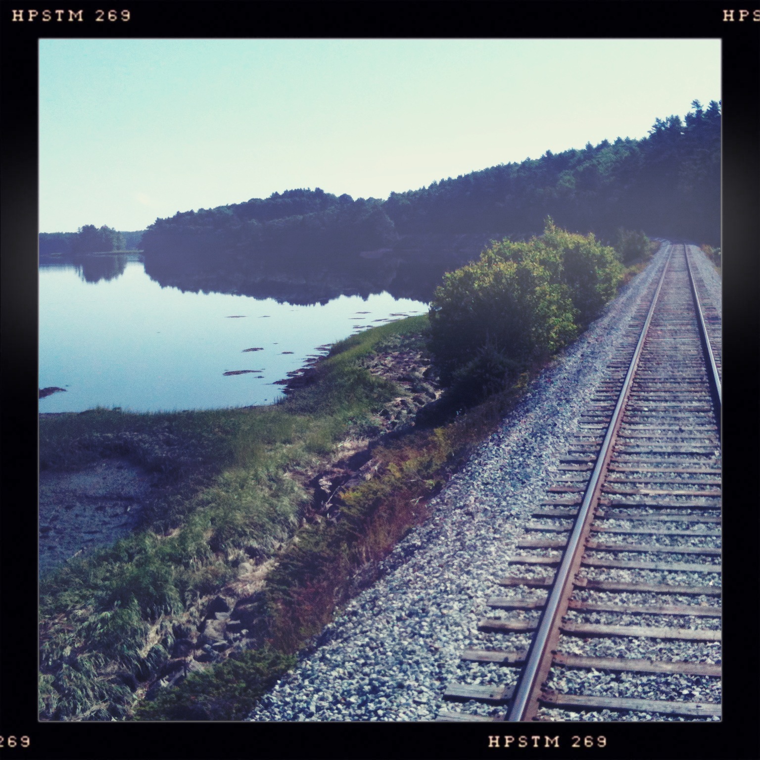
The view from the back of our train car
Opposite view.
The gorgeous view from the train

Done for the Summer
The Route 1 bridge in Wiscasset as viewed from the train trestle
Maine Church
More of the view from the train as we were coming into Wiscasset
View from the deck @schoonerlanding yesterday for lunch.

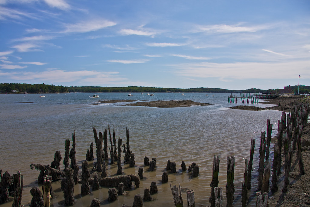
Cod Harbor Marsh

Mum's Chicken Purse
Sheepscot River Pano

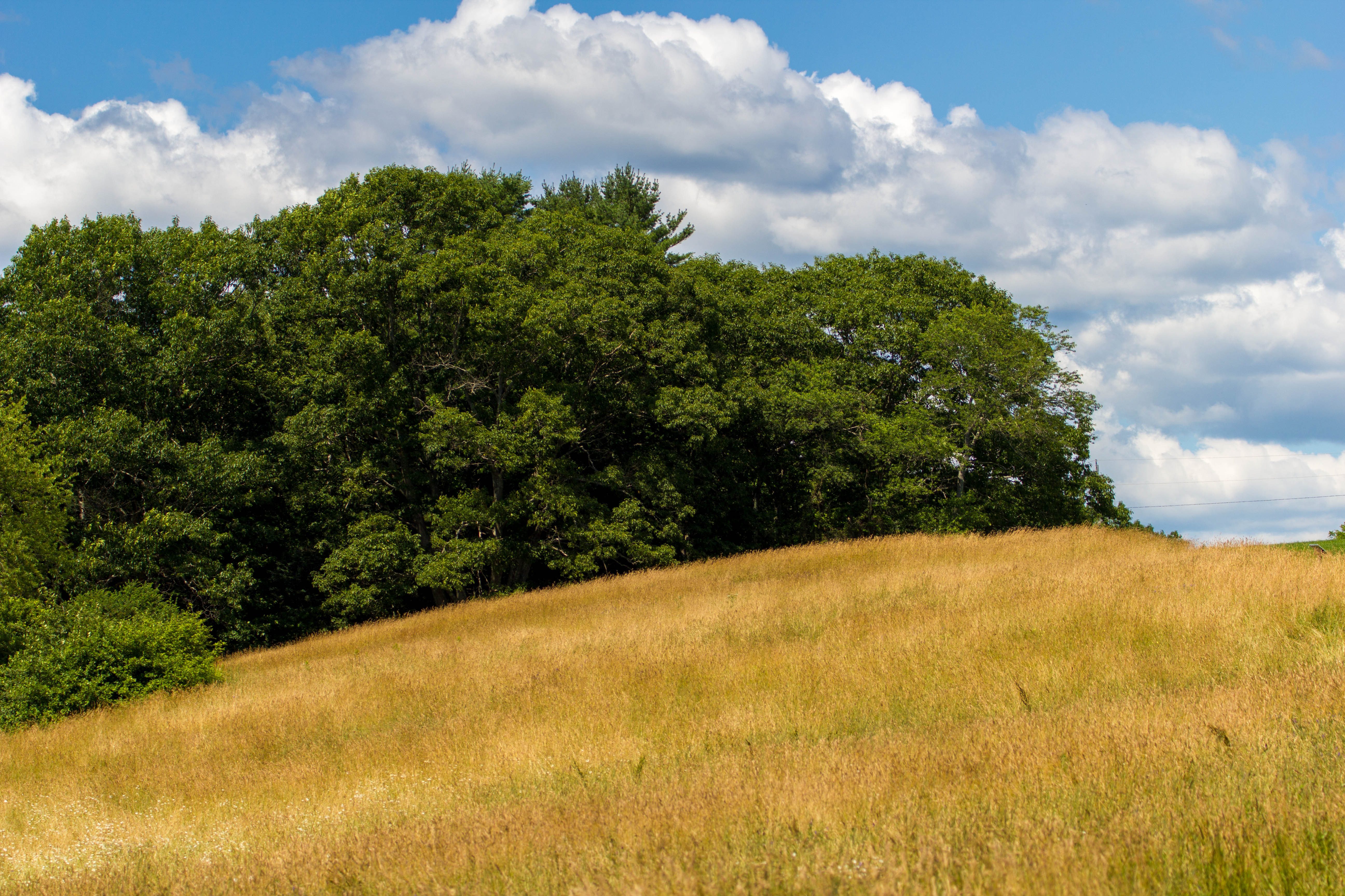
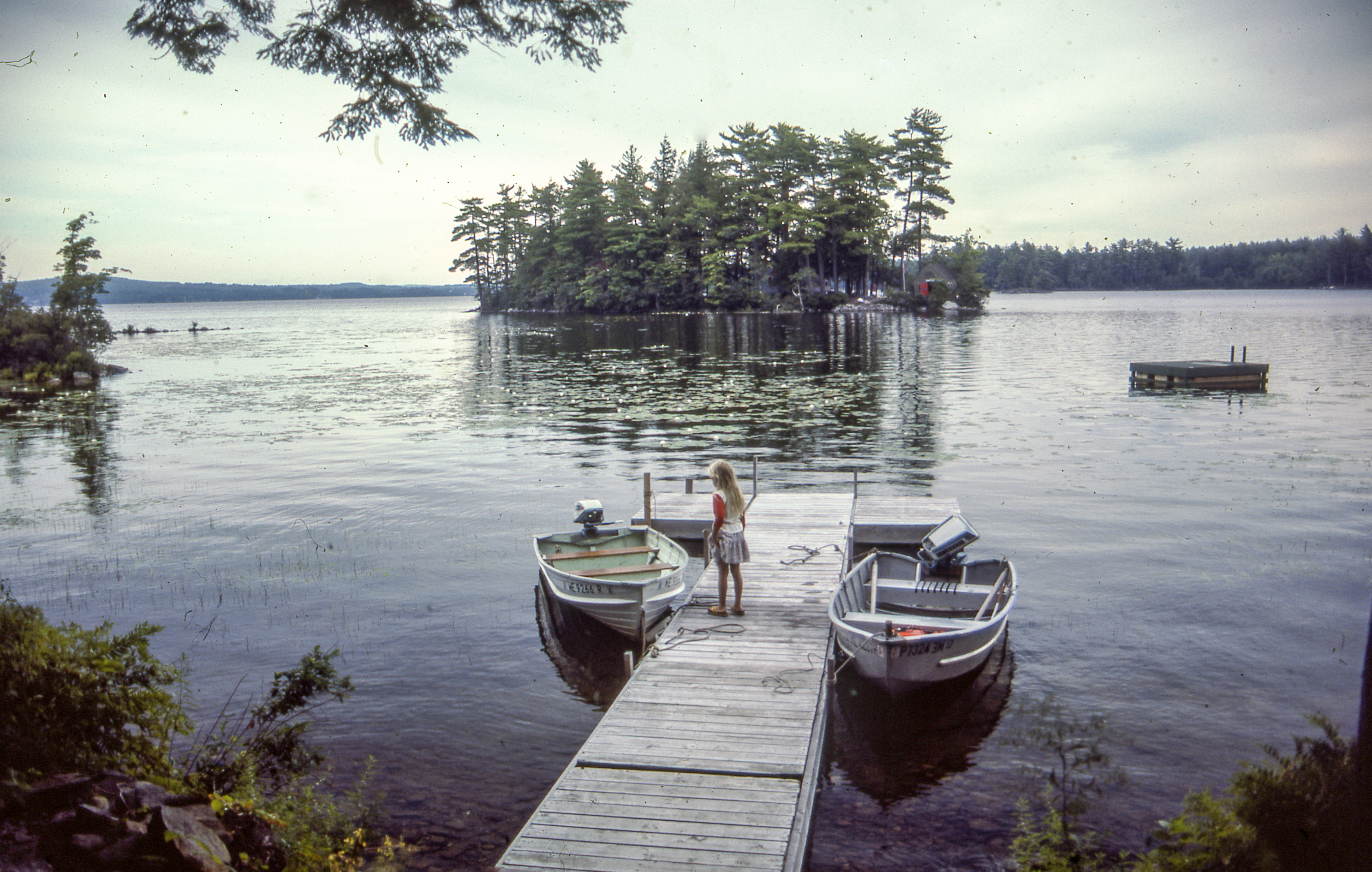
View Of The Lake
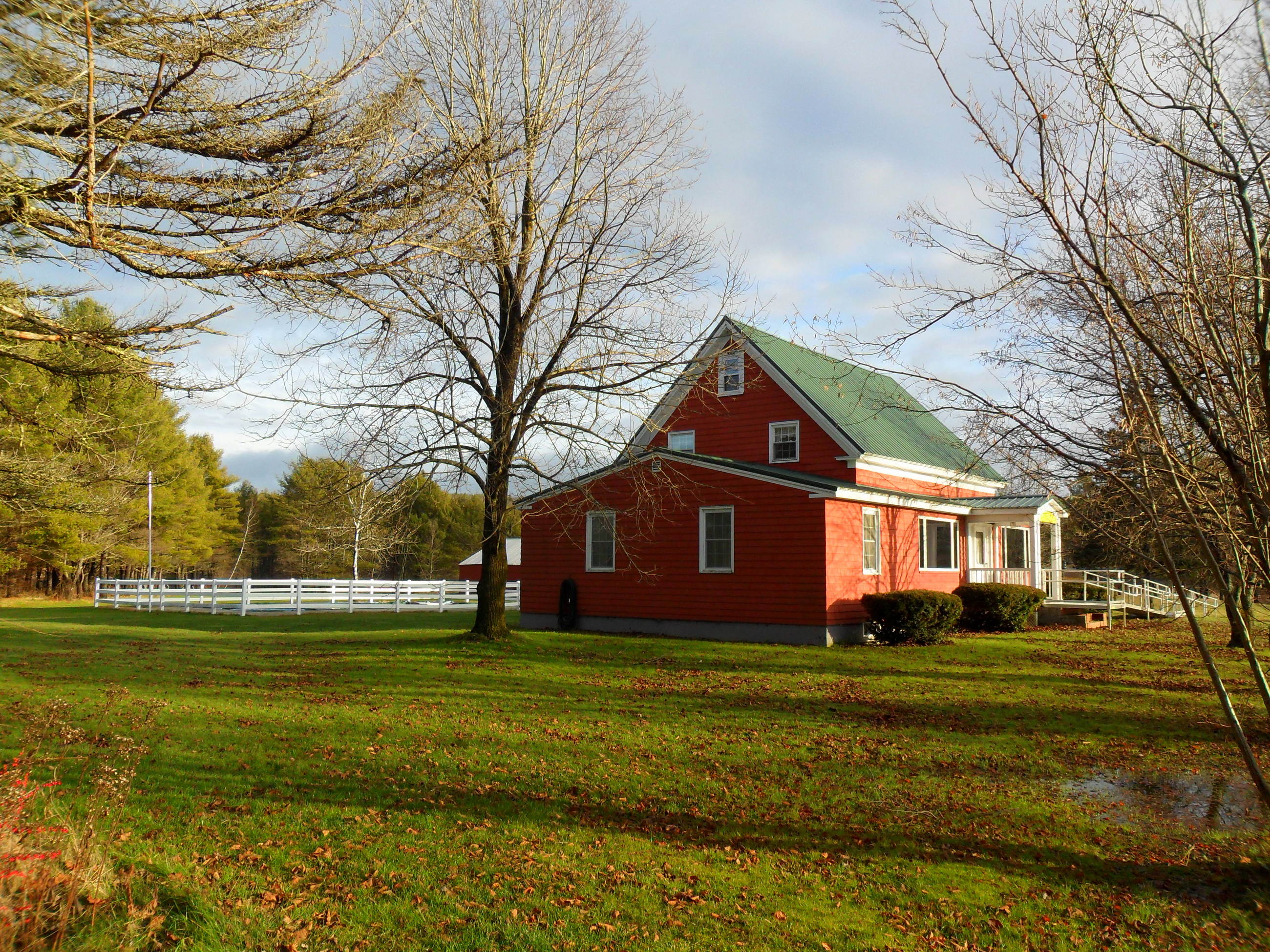
19-side view
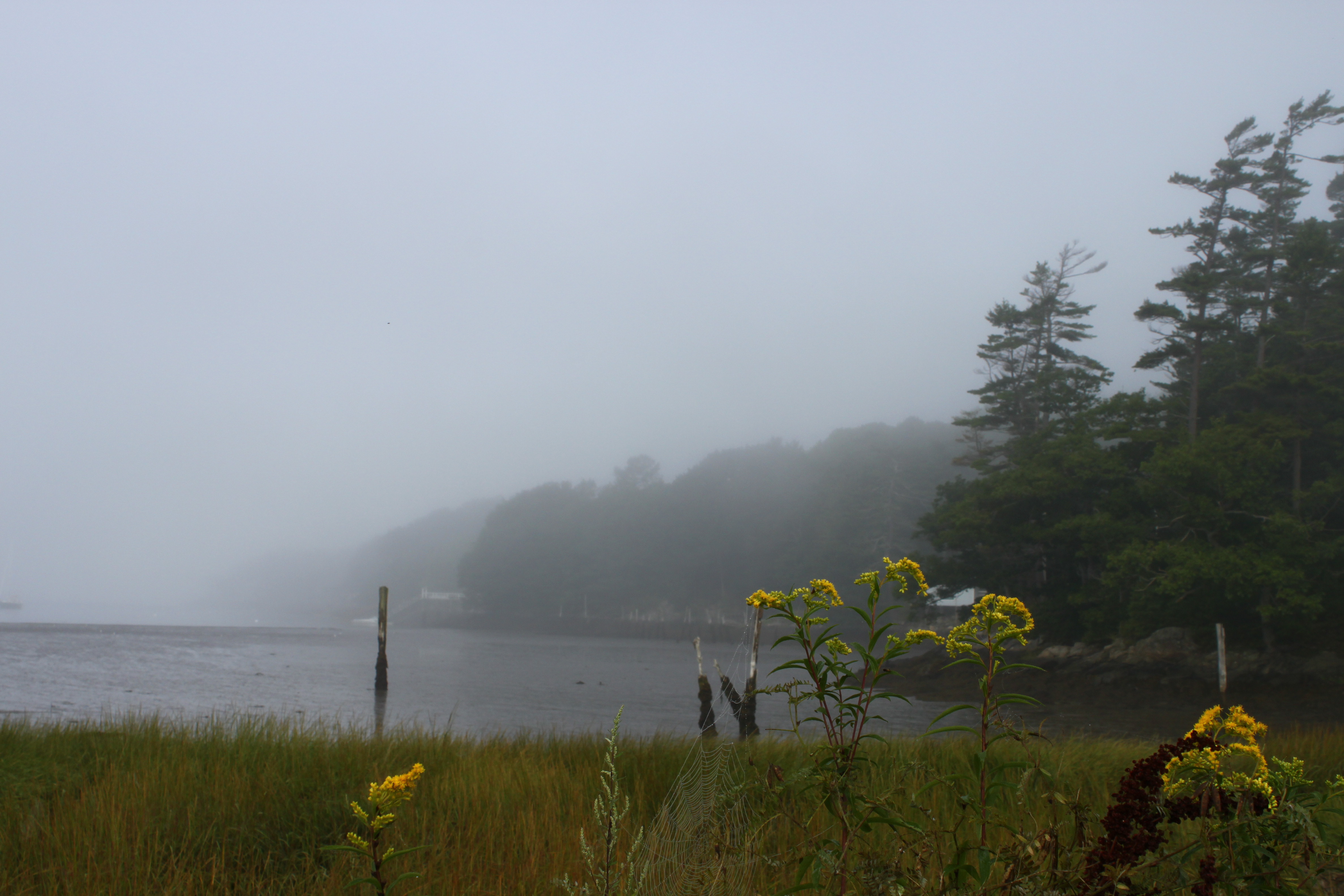
Golden Rod in the Harbor
View from the shower. Oh, yes! #magicmakingcircleretreat
map view
View from Sprague's Lobster
1-side view
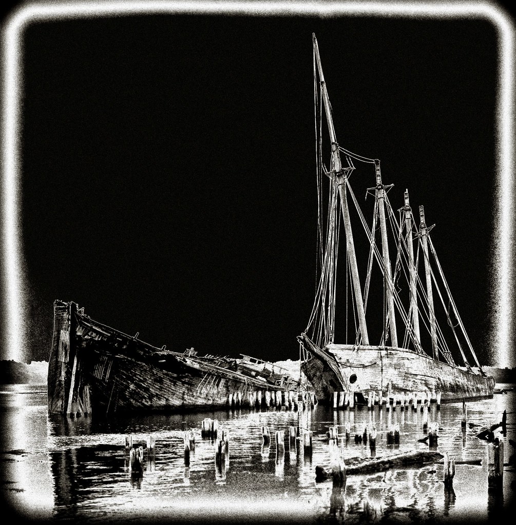
Ghost Ships
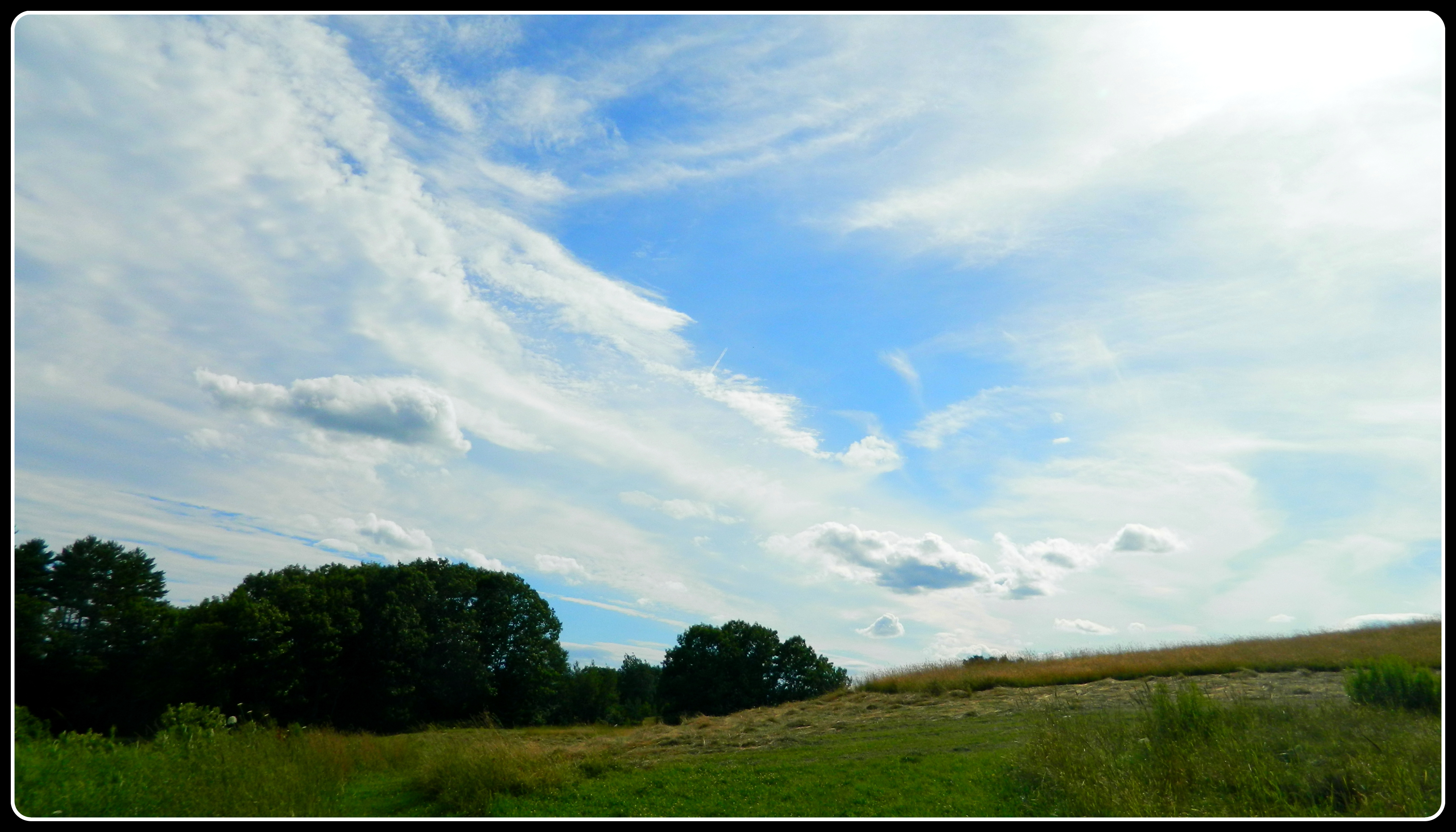
Cloudscape I
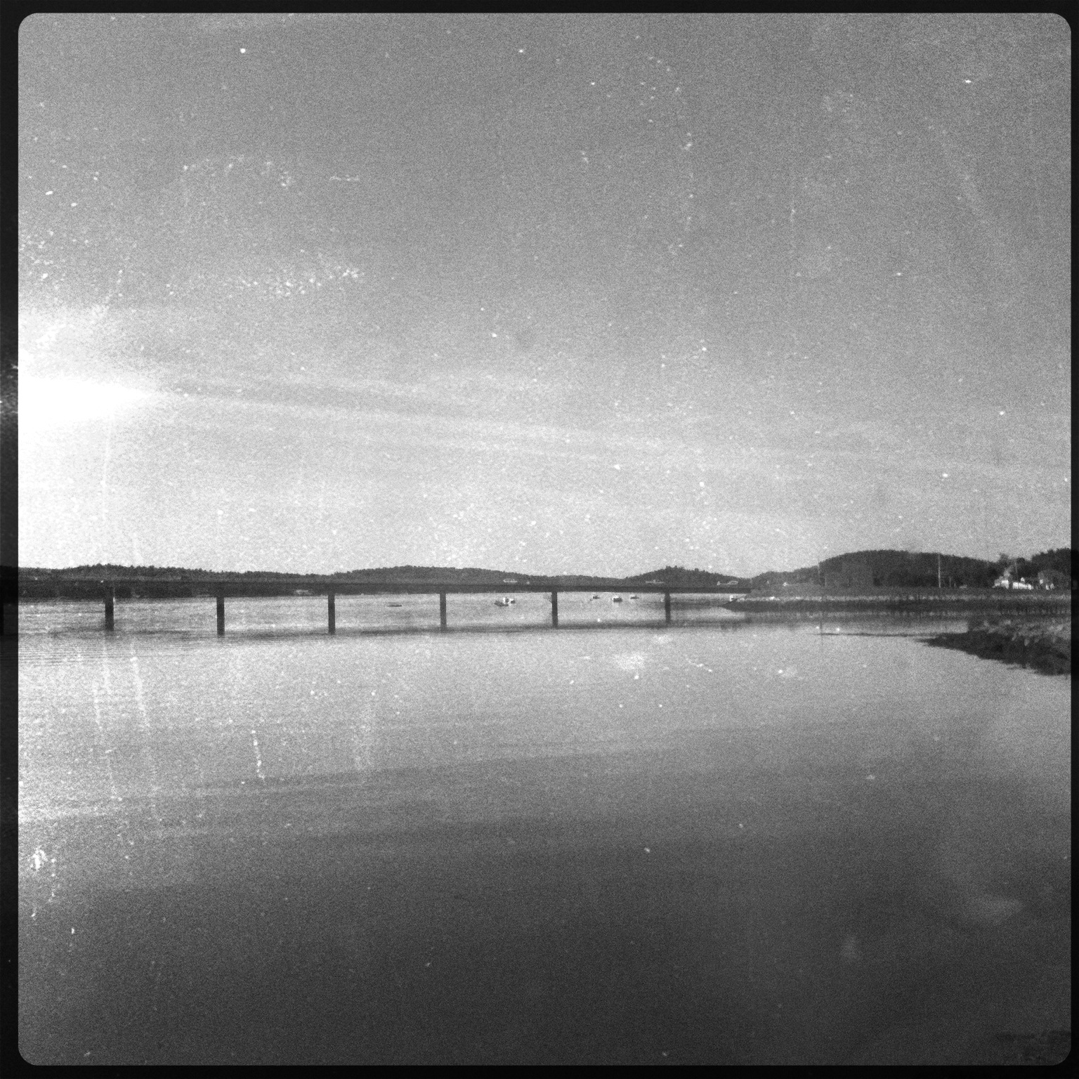
Sheepscot River Bridge

IMG_3098.jpg
IMG_2845.jpg
Sunset on the Island
Jessamyn's Bike took a picture!
Alewive Going Up Damariscotta River

IMG_2822.jpg
Salt Bay again
Damariscotta 2012-05-1813-48-22
#magicmakingcircleretreat

3Q6A5878.jpg

IMG_2631.jpg
IMG_2852.jpg
On shore across from Big DIpper Island
Topographic Map of S Clary Rd, Jefferson, ME, USA
Find elevation by address:

Places near S Clary Rd, Jefferson, ME, USA:
20 Jones Woods Rd
Lincoln County
Wooded Way
266 Lower Cross Rd
80 Wooded Way
80 Wooded Way
80 Wooded Way
11 Rocky Ledge Rd
Morgan Hill Rd, Nobleboro, ME, USA
Nobleboro
Newcastle
185 Glidden St
52 Main St, Newcastle, ME, USA
112 Center St
Damariscotta-newcastle
213 Main St
United States Postal Service
Shamrock Lane
312 Bristol Rd
75 Boulder Rd
Recent Searches:
- Elevation of Corso Fratelli Cairoli, 35, Macerata MC, Italy
- Elevation of Tallevast Rd, Sarasota, FL, USA
- Elevation of 4th St E, Sonoma, CA, USA
- Elevation of Black Hollow Rd, Pennsdale, PA, USA
- Elevation of Oakland Ave, Williamsport, PA, USA
- Elevation of Pedrógão Grande, Portugal
- Elevation of Klee Dr, Martinsburg, WV, USA
- Elevation of Via Roma, Pieranica CR, Italy
- Elevation of Tavkvetili Mountain, Georgia
- Elevation of Hartfords Bluff Cir, Mt Pleasant, SC, USA