Elevation of S Castle Ridge Cir, Littleton, CO, USA
Location: United States > Colorado > Douglas County > Highlands Ranch > Westridge >
Longitude: -105.0191463
Latitude: 39.5414806
Elevation: 1717m / 5633feet
Barometric Pressure: 0KPa
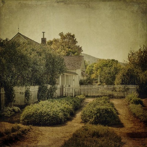
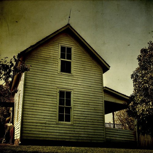
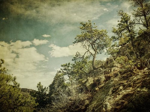
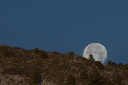
Related Photos:
Topographic Map of S Castle Ridge Cir, Littleton, CO, USA
Find elevation by address:

Places near S Castle Ridge Cir, Littleton, CO, USA:
9705 Moss Rose Cir
9311 Cove Creek Dr
2935 Deer Creek Pl
Westridge
2956 Deer Creek Pl
10006 Deer Creek St
9159 Fox Fire Way
1390 Braewood Ave
9908 Silver Maple Rd
10656 Hyacinth Ct
9474 Cedarhurst Ln
1648 Meyerwood Cir
10102 S Royal Eagle Ln
9240 Broadway
Capstone Court
791 Hughes St
10837 Rainribbon Rd
405 Maplehurst Dr
Devon Ct, Littleton, CO, USA
9162 Star Streak Cir
Recent Searches:
- Elevation of Window Rock, Colfax County, New Mexico, 87714, USA
- Elevation of 4807, Rosecroft Street, Kempsville Gardens, Virginia Beach, Virginia, 23464, USA
- Elevation map of Matawinie, Quebec, Canada
- Elevation of Sainte-Émélie-de-l'Énergie, Matawinie, Quebec, Canada
- Elevation of Rue du Pont, Sainte-Émélie-de-l'Énergie, Matawinie, Quebec, J0K2K0, Canada
- Elevation of 8, Rue de Bécancour, Blainville, Thérèse-De Blainville, Quebec, J7B1N2, Canada
- Elevation of Wilmot Court North, 163, University Avenue West, Northdale, Waterloo, Region of Waterloo, Ontario, N2L6B6, Canada
- Elevation map of Panamá Province, Panama
- Elevation of Balboa, Panamá Province, Panama
- Elevation of San Miguel, Balboa, Panamá Province, Panama
- Elevation of Isla Gibraleón, San Miguel, Balboa, Panamá Province, Panama
- Elevation of 4655, Krischke Road, Schulenburg, Fayette County, Texas, 78956, USA
- Elevation of Carnegie Avenue, Downtown Cleveland, Cleveland, Cuyahoga County, Ohio, 44115, USA
- Elevation of Walhonding, Coshocton County, Ohio, USA
- Elevation of Clifton Down, Clifton, Bristol, City of Bristol, England, BS8 3HU, United Kingdom
- Elevation map of Auvergne-Rhône-Alpes, France
- Elevation map of Upper Savoy, Auvergne-Rhône-Alpes, France
- Elevation of Chamonix-Mont-Blanc, Upper Savoy, Auvergne-Rhône-Alpes, France
- Elevation of 908, Northwood Drive, Bridge Field, Chesapeake, Virginia, 23322, USA
- Elevation map of Nagano Prefecture, Japan


