Elevation of S Bernardo Ave, Sunnyvale, CA, USA
Location: United States > California > Santa Clara County > Mountain View >
Longitude: -122.05253
Latitude: 37.3851496
Elevation: 29m / 95feet
Barometric Pressure: 101KPa
Elevation Map:
Satellite Map:
Related Photos:
Perfect view?

Gnarled Oak

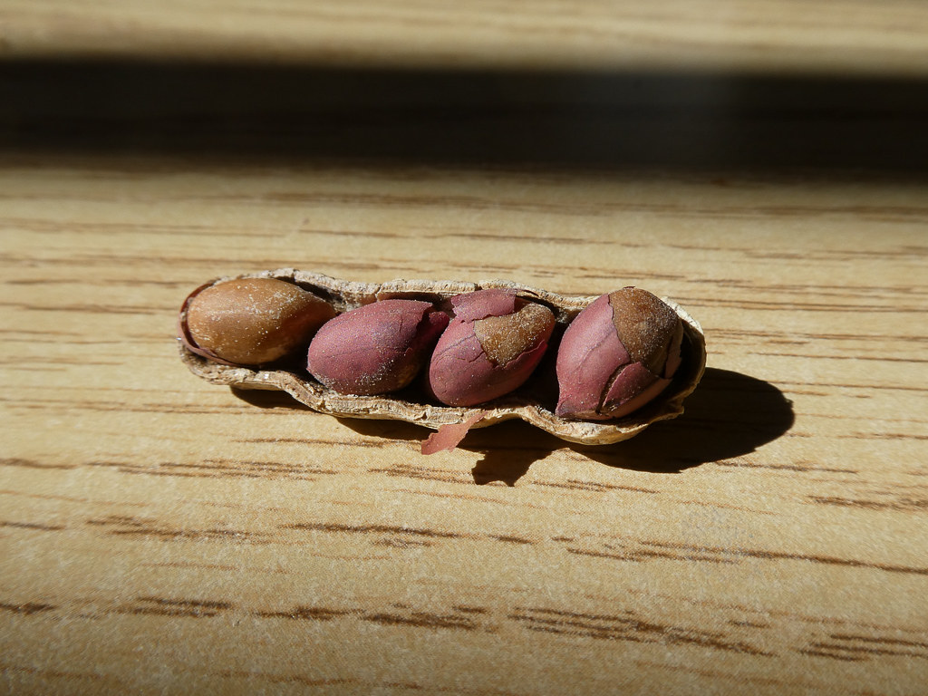
Seed Pods

IMG_1380 Let Me Feed You, Honey.
Four In One

IMG_5922 Forster's Tern Hovering, Mountain View Shoreline Park, California

IMG_3580 Black-Crowned Night Heron

IMG_0173 Here I Come! Mountain View Shoreline Park, CA

Fish On
Shadow Bike

Break Chairs

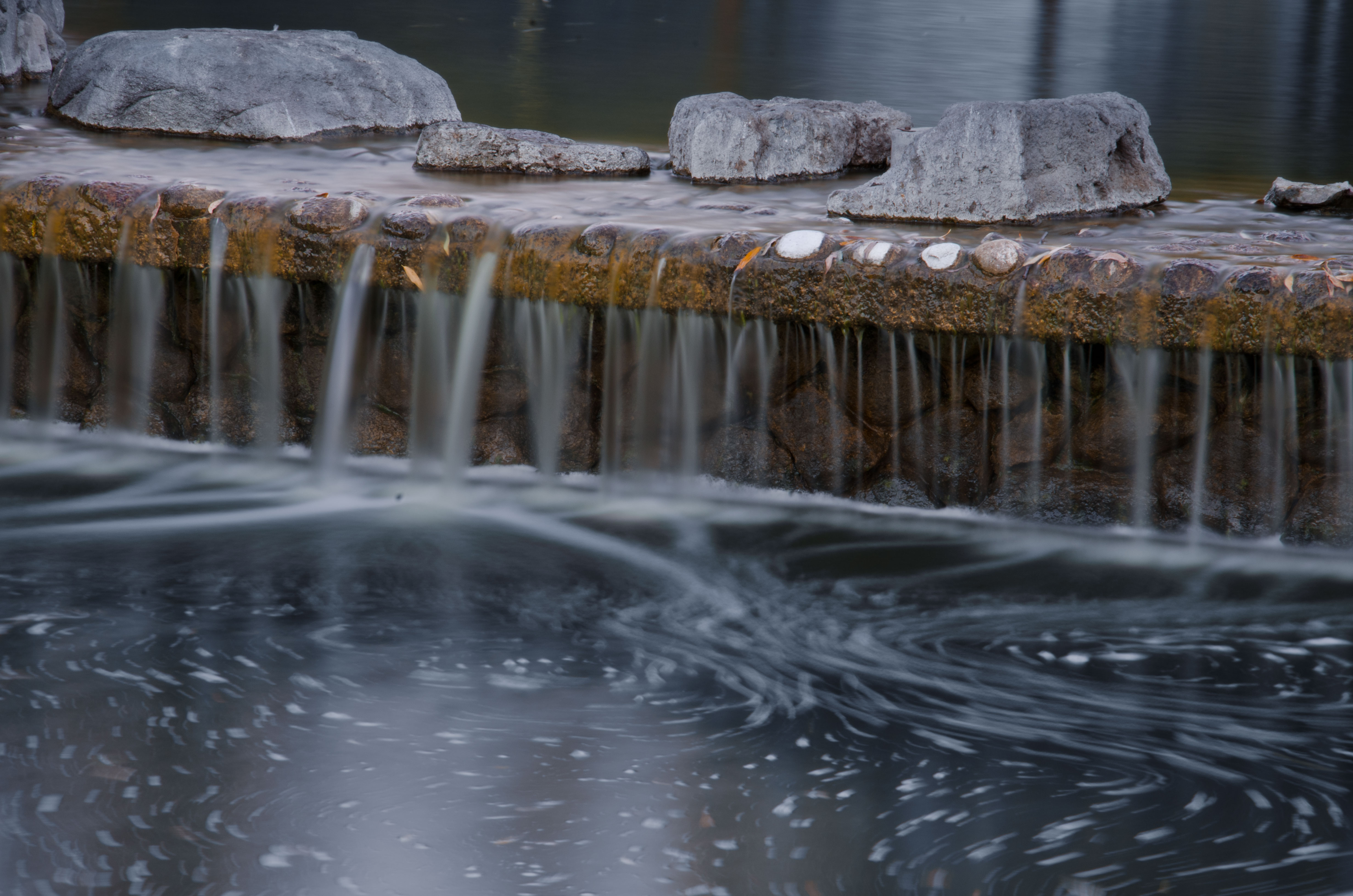
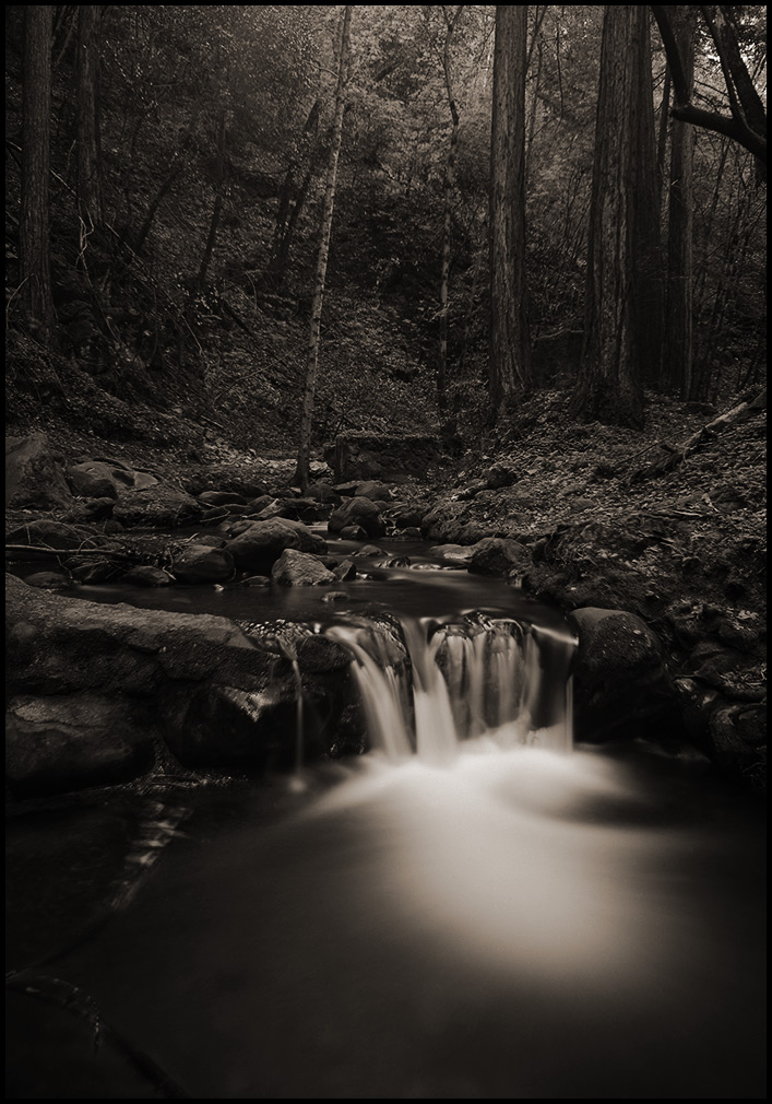
Cone Drips

Proficient dive bomber - Forster's Tern

Forster's Tern (1st year)
Wheels Up

DSC01246.JPG

The Shire 1.0
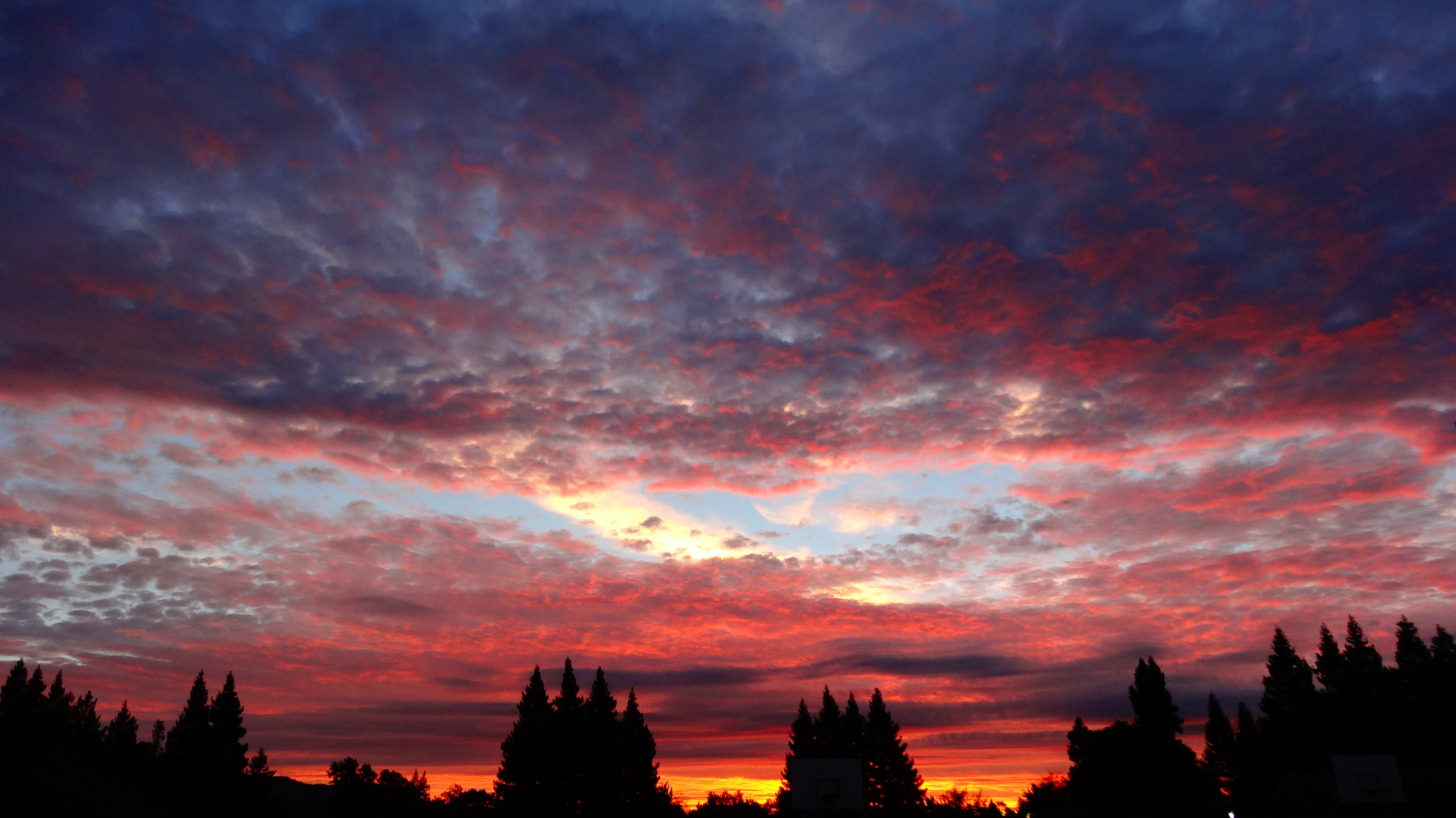
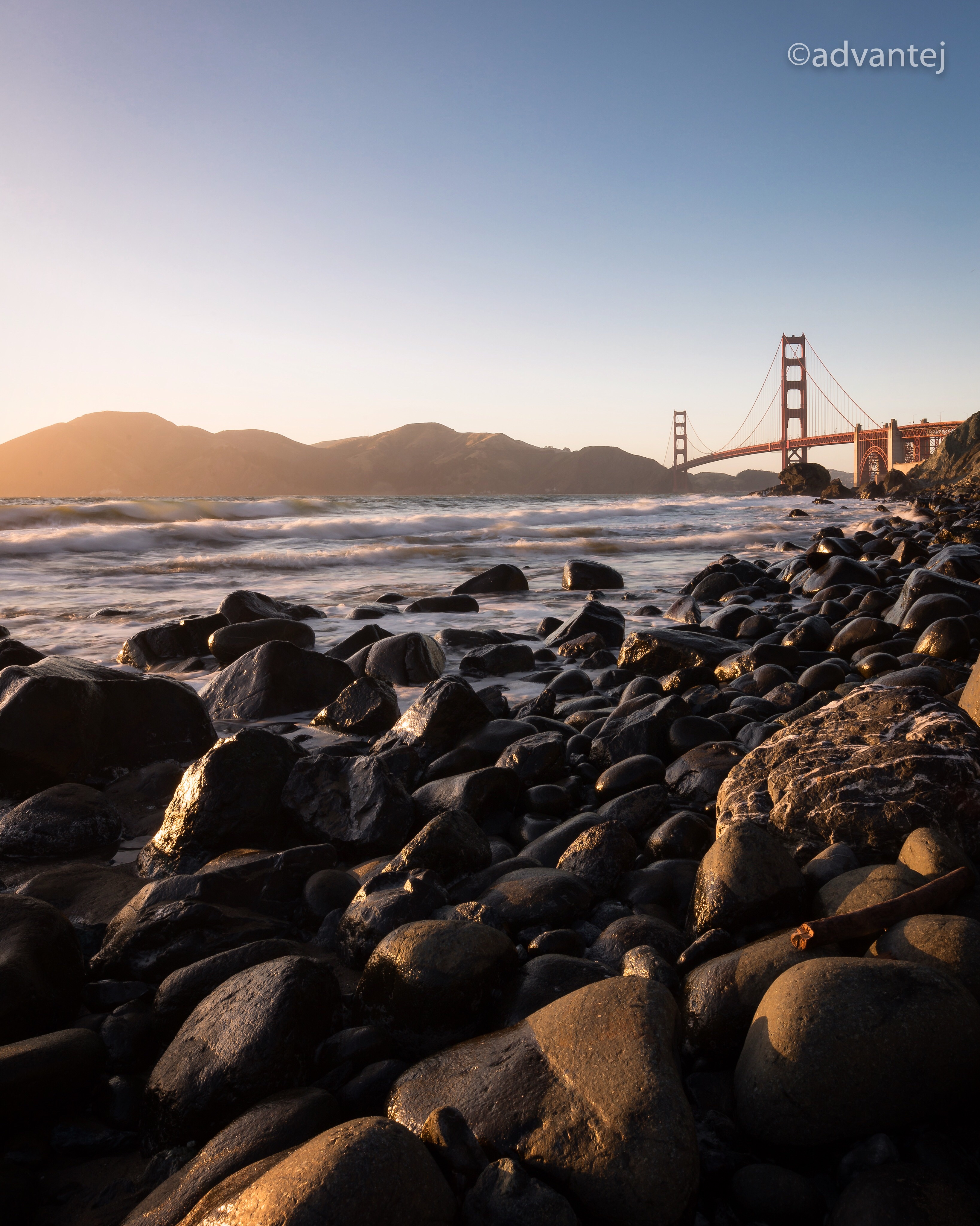
Sunset View

Red On Purple

Barn Swallow (immature)

Green Heron (1st summer)

Heavenly shades of night are falling, it's twilight time ...

Heavenly Shades of Night are Falling -- Reprise

Somewhere in heaven

Fields of Gold

Door of opportunities :)

Home on the Farm

Arastradero Pasture

~~Garden of PEACE #2~~

Trail to Heaven
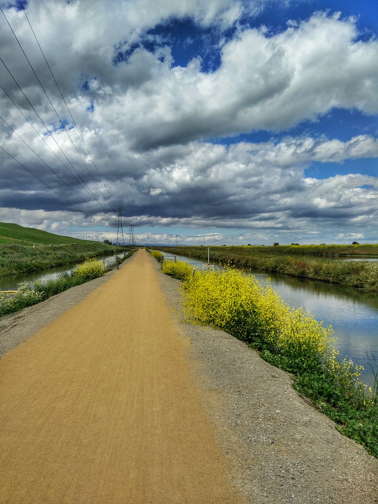
Yesterday afternoon stroll.

Heritage Orchard_02

DSC00963.JPG

Alle Fotos-58

Closing Time
Central Park
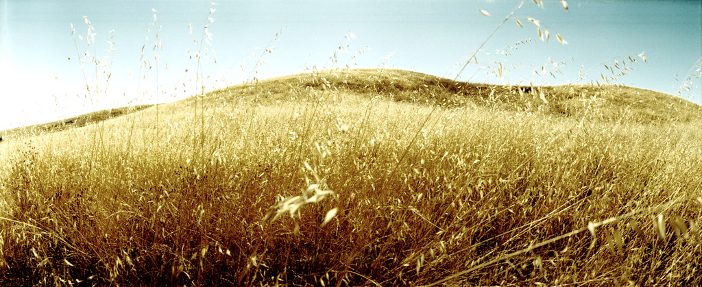
grassy hill

My Favorite Tree

April Skies | Palo Alto

Gentle Afterglow
morning light in Saratoga Creek
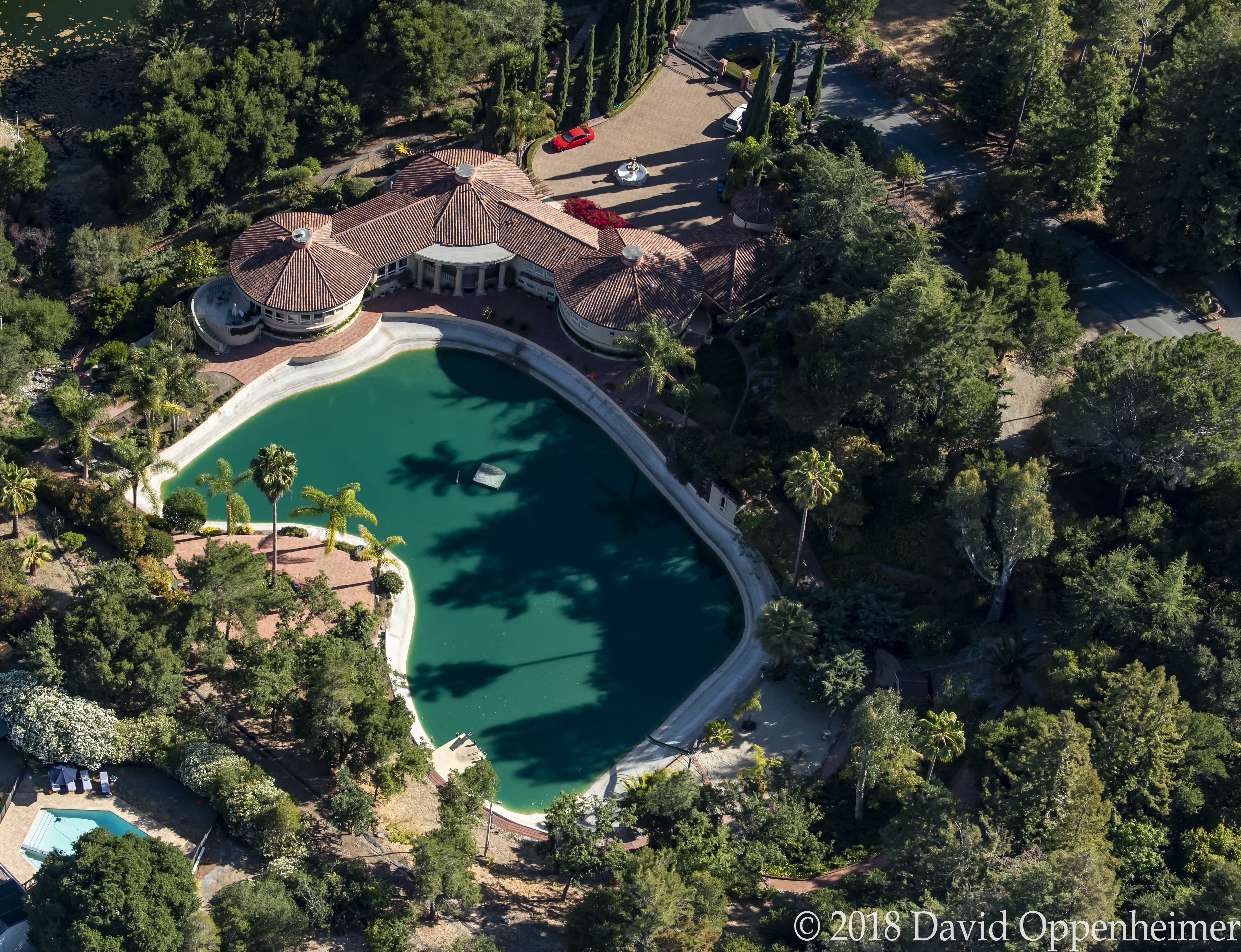
Luxury Real Estate at 12500 Corbetta Lane Los Altos Hills California
Topographic Map of S Bernardo Ave, Sunnyvale, CA, USA
Find elevation by address:

Places near S Bernardo Ave, Sunnyvale, CA, USA:
170 Acalanes Dr
Silicon Valley
1044 Merritt Terrace
993 Asilomar Terrace
1229 Vicente Dr
395 Ano Nuevo Ave
Belmont Terrace
Mountain View Gateway Center
Sunnyvale West
362 Dennis Ave
750 Sylvan Ave
445 N Mary Ave
455 N Mary Ave
806 Coolidge Ave
Sunnyvale Municipal Golf Course
445 Purisima Ave
1241 Lynn Way
68 Gladys Ave
1267 Susan Way
Dale Ave, Mountain View, CA, USA
Recent Searches:
- Elevation of Corso Fratelli Cairoli, 35, Macerata MC, Italy
- Elevation of Tallevast Rd, Sarasota, FL, USA
- Elevation of 4th St E, Sonoma, CA, USA
- Elevation of Black Hollow Rd, Pennsdale, PA, USA
- Elevation of Oakland Ave, Williamsport, PA, USA
- Elevation of Pedrógão Grande, Portugal
- Elevation of Klee Dr, Martinsburg, WV, USA
- Elevation of Via Roma, Pieranica CR, Italy
- Elevation of Tavkvetili Mountain, Georgia
- Elevation of Hartfords Bluff Cir, Mt Pleasant, SC, USA