Elevation of Rutledge Loop Rd, Luverne, AL, USA
Location: United States > Alabama > Crenshaw County > Luverne >
Longitude: -86.3228916
Latitude: 31.6863171
Elevation: 93m / 305feet
Barometric Pressure: 0KPa
Related Photos:

Black Soldier Fly - Hermetia illucens - on window

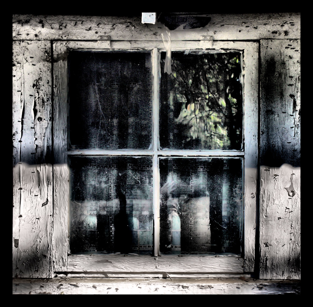
Closed From Reality
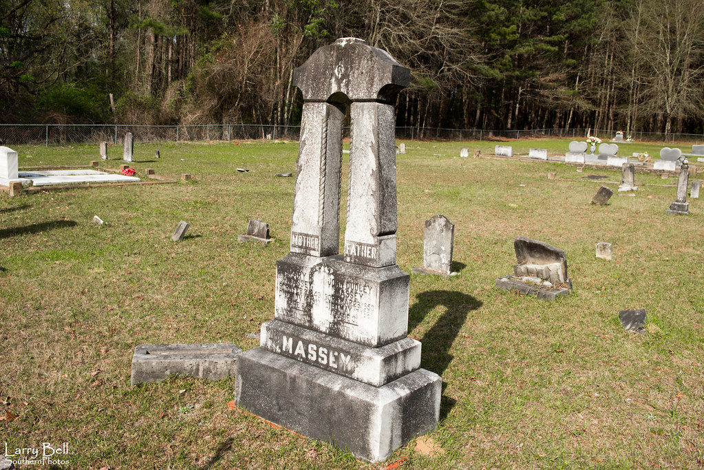
Reflections of Grieve
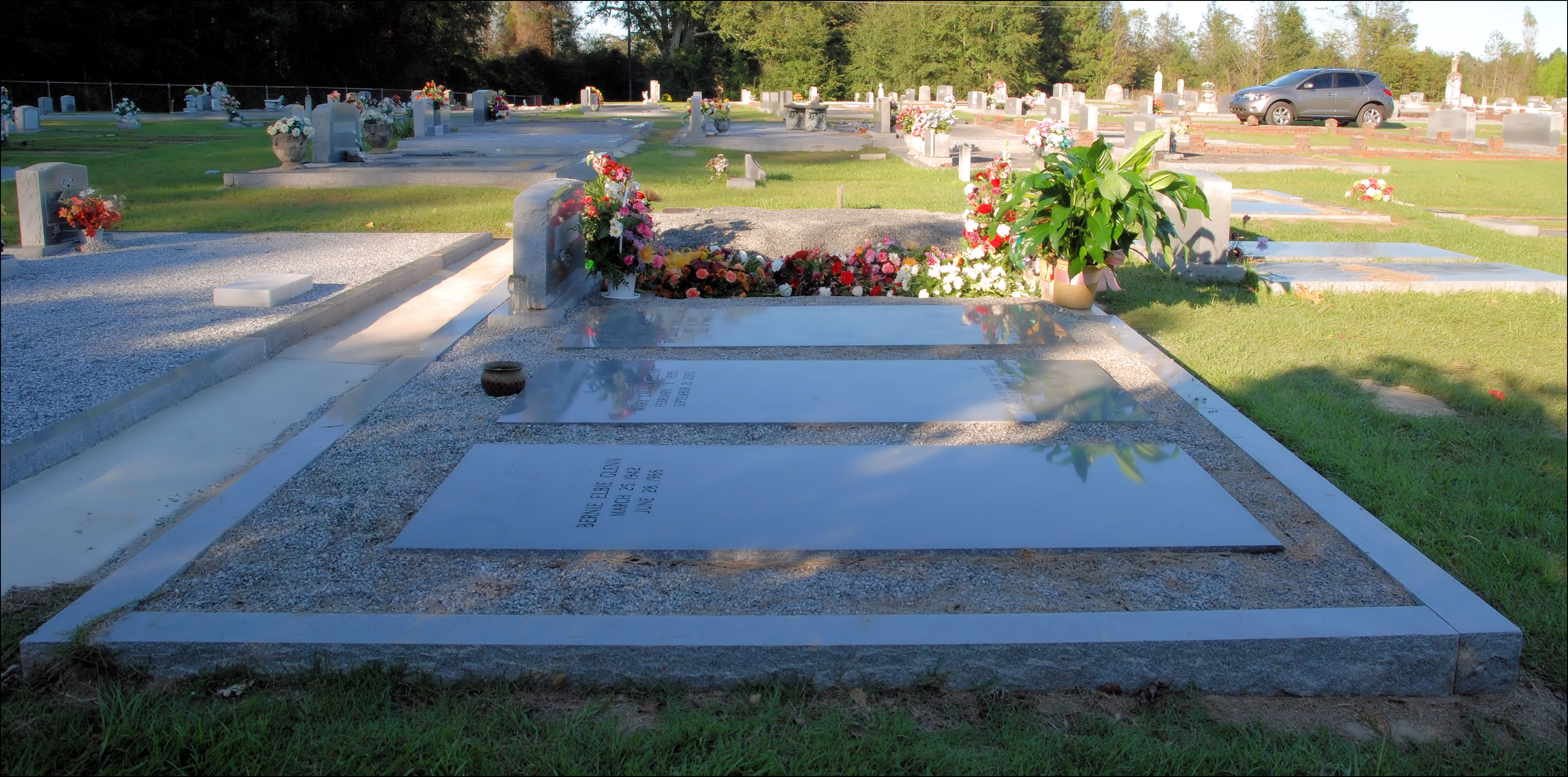
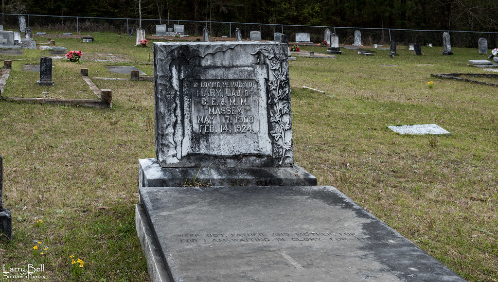
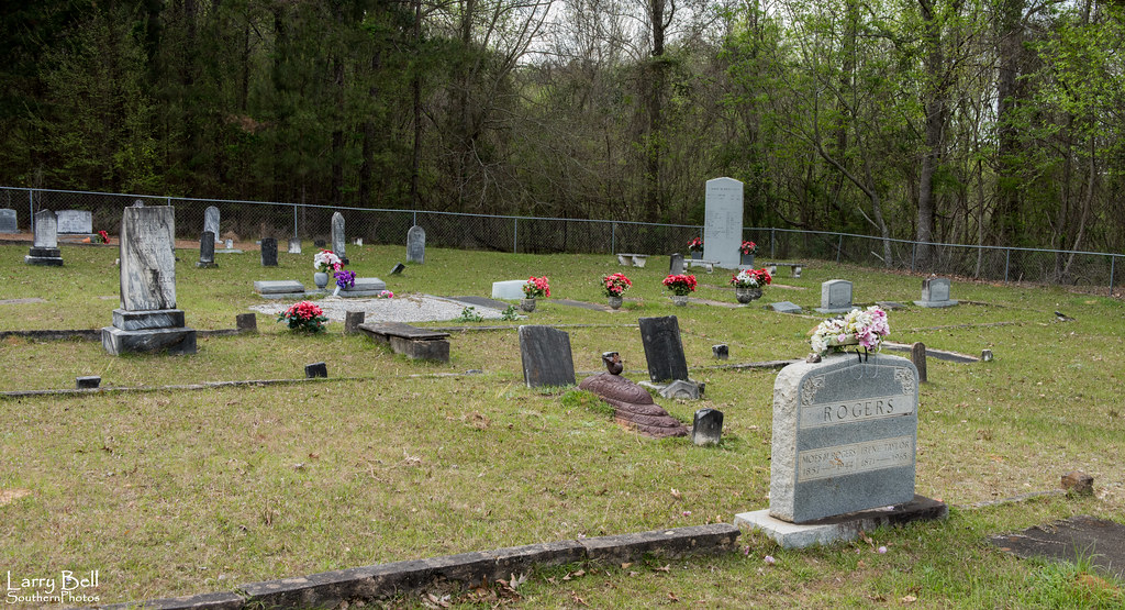
Mom's Final Rest
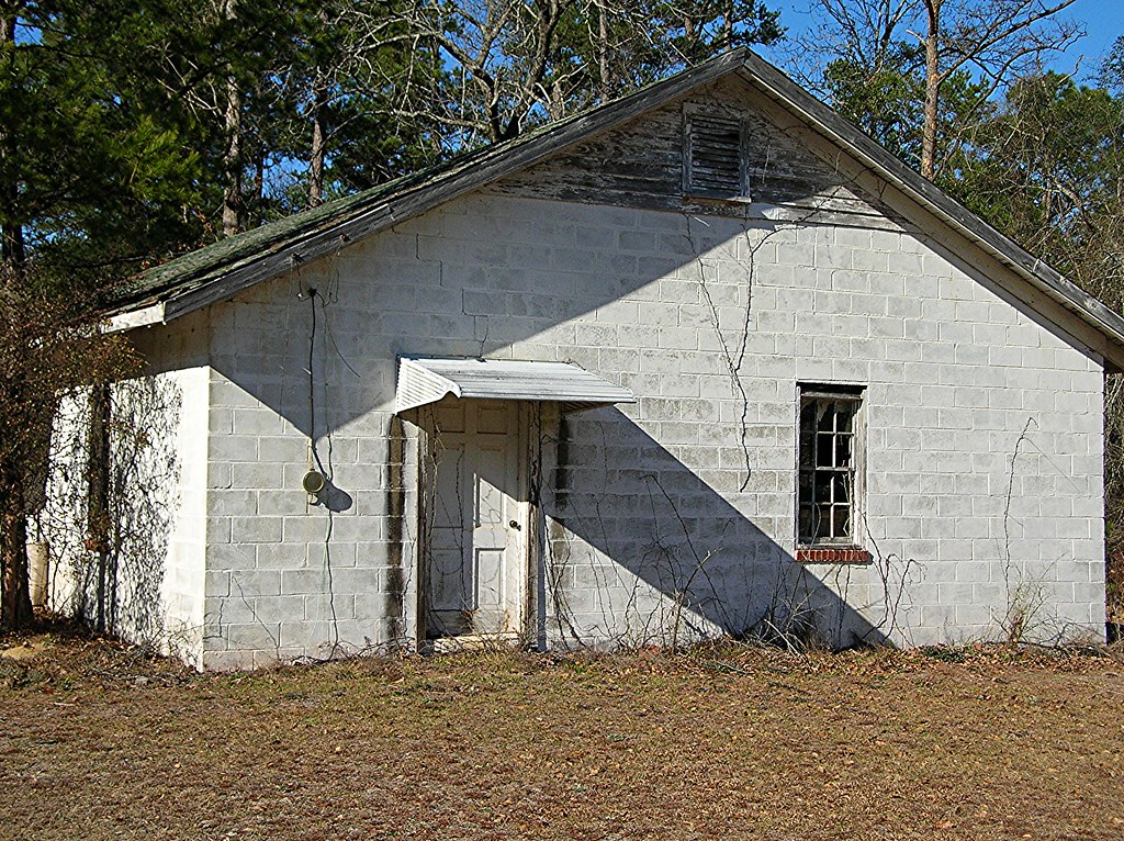
Mount Olive Hard Shell Baptist Church
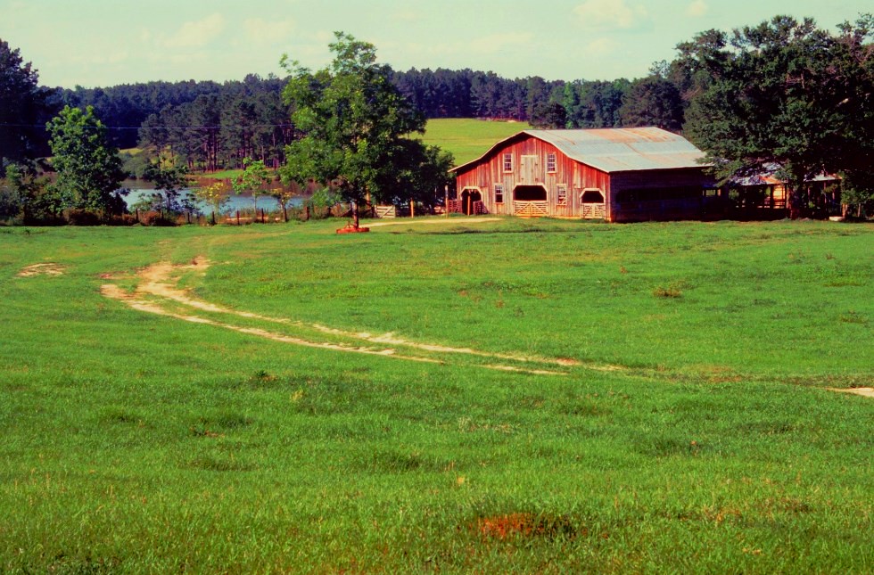
Thaggard's Farm
LEB_0643
LEB_0641
LEB_0640
LEB_0639
LEB_0638
LEB_0636
LEB_0635
LEB_0634
LEB_0632
LEB_0631
LEB_0630
LEB_0629
LEB_0627
LEB_0626
LEB_0625

LEB_0624
LEB_0623
LEB_0622

LEB_0621

LEB_0620
LEB_0619
Topographic Map of Rutledge Loop Rd, Luverne, AL, USA
Find elevation by address:

Places near Rutledge Loop Rd, Luverne, AL, USA:
Crenshaw County
Lee St, Rutledge, AL, USA
Rutledge
17 Forest Ave, Luverne, AL, USA
Luverne
N Main St, Brantley, AL, USA
Brantley
Troy Hwy, Goshen, AL, USA
Dozier
Goshen
Highland Home, AL, USA
Co Rd, Elba, AL, USA
2755 Lowman Loop
Shady Grove Rd, Grady, AL, USA
Magnolia Dr, Highland Home, AL, USA
4 Co Hwy 21, Goshen, AL, USA
409 Poor House Rd
Highland Home
Montgomery Hwy, Lapine, AL, USA
Co Rd 6, Troy, AL, USA
Recent Searches:
- Elevation map of Greenland, Greenland
- Elevation of Sullivan Hill, New York, New York, 10002, USA
- Elevation of Morehead Road, Withrow Downs, Charlotte, Mecklenburg County, North Carolina, 28262, USA
- Elevation of 2800, Morehead Road, Withrow Downs, Charlotte, Mecklenburg County, North Carolina, 28262, USA
- Elevation of Yangbi Yi Autonomous County, Yunnan, China
- Elevation of Pingpo, Yangbi Yi Autonomous County, Yunnan, China
- Elevation of Mount Malong, Pingpo, Yangbi Yi Autonomous County, Yunnan, China
- Elevation map of Yongping County, Yunnan, China
- Elevation of North 8th Street, Palatka, Putnam County, Florida, 32177, USA
- Elevation of 107, Big Apple Road, East Palatka, Putnam County, Florida, 32131, USA
- Elevation of Jiezi, Chongzhou City, Sichuan, China
- Elevation of Chongzhou City, Sichuan, China
- Elevation of Huaiyuan, Chongzhou City, Sichuan, China
- Elevation of Qingxia, Chengdu, Sichuan, China
- Elevation of Corso Fratelli Cairoli, 35, Macerata MC, Italy
- Elevation of Tallevast Rd, Sarasota, FL, USA
- Elevation of 4th St E, Sonoma, CA, USA
- Elevation of Black Hollow Rd, Pennsdale, PA, USA
- Elevation of Oakland Ave, Williamsport, PA, USA
- Elevation of Pedrógão Grande, Portugal