Elevation of Lowman Loop, Dozier, AL, USA
Location: United States > Alabama > Crenshaw County > Dozier >
Longitude: -86.3979089
Latitude: 31.47152
Elevation: 77m / 253feet
Barometric Pressure: 0KPa
Related Photos:
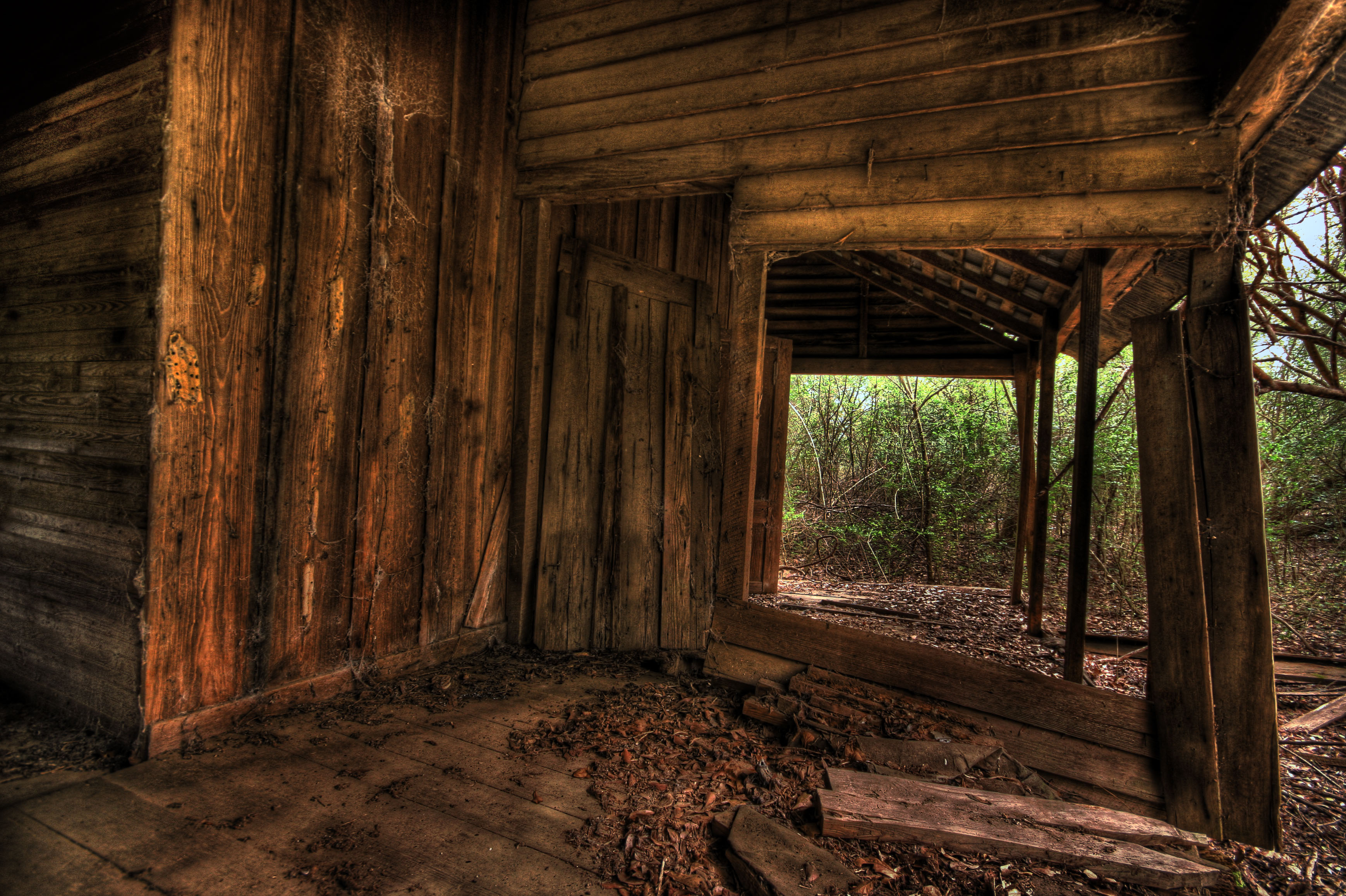
Hanging on

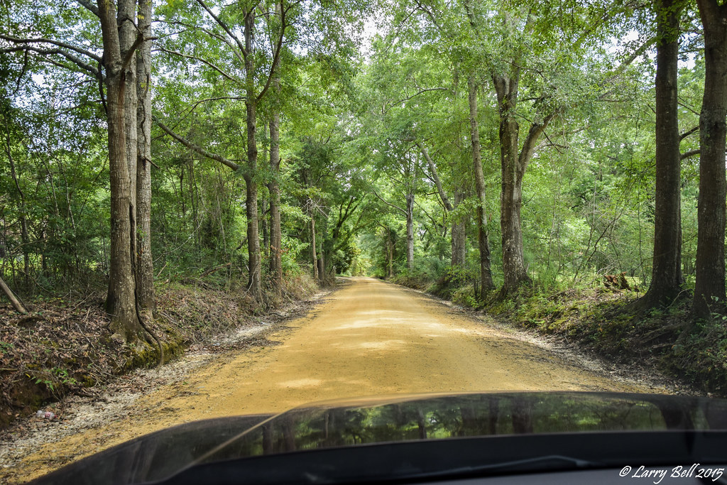
I'mma Bee
DSC_0198.jpg
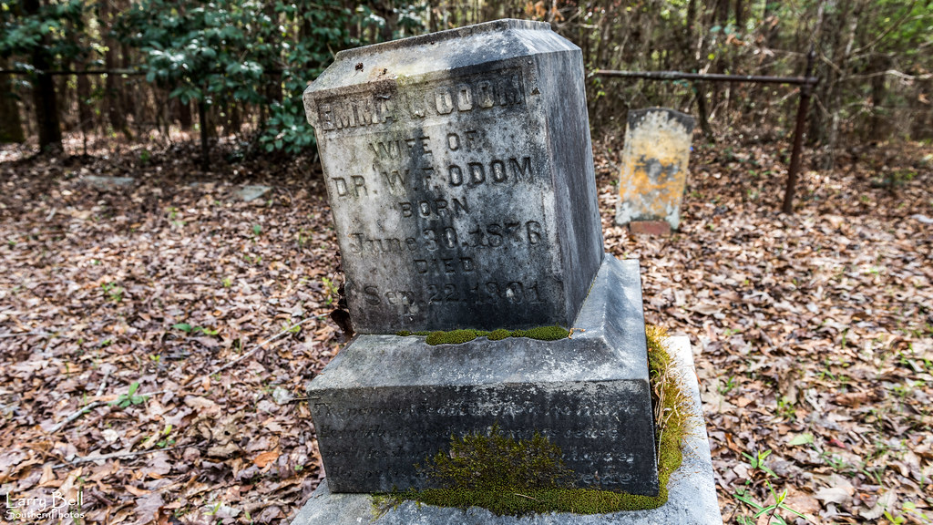
LEB_0542-3
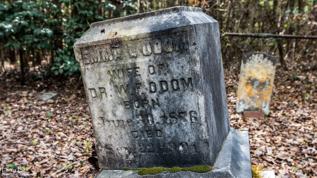
LEB_0542-2
LEB_0488-2
Topographic Map of Lowman Loop, Dozier, AL, USA
Find elevation by address:

Places near Lowman Loop, Dozier, AL, USA:
Dozier
16133 Co Rd 86
28584 Hammett Rd
15050 Dunns Bridge Rd
19389 Enoch Road
29038 Twin View Ln
AL-12, Andalusia, AL, USA
Sanford
Brantley
N Main St, Brantley, AL, USA
Andalusia
River Falls
262 Crescent St
Railroad Ave, Andalusia, AL, USA
512 Palmetto St
622 Dunson St
Covington County
1802 Cedar Rd
South 3 Notch Street
1203 Prestwood Bridge Rd
Recent Searches:
- Elevation map of Greenland, Greenland
- Elevation of Sullivan Hill, New York, New York, 10002, USA
- Elevation of Morehead Road, Withrow Downs, Charlotte, Mecklenburg County, North Carolina, 28262, USA
- Elevation of 2800, Morehead Road, Withrow Downs, Charlotte, Mecklenburg County, North Carolina, 28262, USA
- Elevation of Yangbi Yi Autonomous County, Yunnan, China
- Elevation of Pingpo, Yangbi Yi Autonomous County, Yunnan, China
- Elevation of Mount Malong, Pingpo, Yangbi Yi Autonomous County, Yunnan, China
- Elevation map of Yongping County, Yunnan, China
- Elevation of North 8th Street, Palatka, Putnam County, Florida, 32177, USA
- Elevation of 107, Big Apple Road, East Palatka, Putnam County, Florida, 32131, USA
- Elevation of Jiezi, Chongzhou City, Sichuan, China
- Elevation of Chongzhou City, Sichuan, China
- Elevation of Huaiyuan, Chongzhou City, Sichuan, China
- Elevation of Qingxia, Chengdu, Sichuan, China
- Elevation of Corso Fratelli Cairoli, 35, Macerata MC, Italy
- Elevation of Tallevast Rd, Sarasota, FL, USA
- Elevation of 4th St E, Sonoma, CA, USA
- Elevation of Black Hollow Rd, Pennsdale, PA, USA
- Elevation of Oakland Ave, Williamsport, PA, USA
- Elevation of Pedrógão Grande, Portugal